
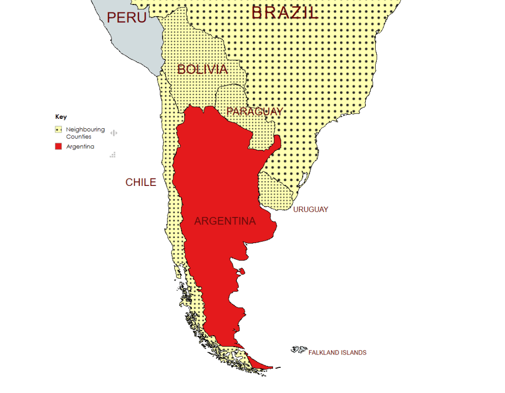
Argentina, officially the Argentine Republic, is a country in the southern half of South America. It covers an area of 2,780,085 km2, making it the second-largest country in South America after Brazil, the fourth-largest country in the Americas, and the eighth-largest country in the world. Argentina shares the bulk of the Southern Cone with Chile to the west, and is also bordered by Bolivia and Paraguay to the north, Brazil to the northeast, Uruguay and the South Atlantic Ocean to the east, and the Drake Passage to the south. Argentina is a federal state subdivided into twenty-three provinces, and one autonomous city, which is the federal capital and largest city of the nation, Buenos Aires. The federal government is composed of three branches with a system of checks and balances outlined within the Constitution. The Legislative branch consists of the bicameral Congress, made up of the Senate and the Chamber of Deputies.
Argentina is one of the most biodiverse countries in the world hosting one of the greatest ecosystem varieties in the world: 15 continental zones, 2 marine zones, and the Antarctic region are all represented in its territory.
Argentina gained independence from Spain in 1816. The early years of the country were characterised by conflicts between centralists and federalists and Royalists and Republicans., leading to the establishment of a Federal Republic in 1861. Large scale immigration and economic development let to Argentina having a per capita income was 70% higher than Italy’s, 90% higher than Spain’s, 180% higher than Japan’s and 400% higher than Brazil’s by 1908. At the same time there was territorial expansion into the Pampa and Patagonian territories as well as the Chaco, leading to the appropriation of indigenous peoples land and assets. The early economic gains were eroded in the inter war years and Argentina was characterised by a military dictatorship and declining economy.
Argentina’s path to democracy was not easy and the post war years were characterised by series of dictatorships, many military. In the 20th century, Argentina experienced significant political turmoil and democratic reversals. Between 1930 and 1976, the armed forces overthrew six governments in Argentina; and the country alternated periods of democracy (1912–1930, 1946–1955, and 1973–1976) with periods of restricted democracy and military rule. It is impossible to write about Argentinian politics without discussing Peronism. Many Argentinian presidents have been elected under the Justicialist Party banner as of 2025, Peronists have held the presidency in Argentina for a total of 39 years. Perón was elected President in 1946 his movement is described as a populist left wing social form of nationalism. Peronist policies, rooted in Juan Perón’s “Justicialism,” center on social justice, economic independence, and political sovereignty, blending nationalist, populist, and corporatist ideas, advocating strong state intervention in the economy (nationalization, industrialization, worker rights), social welfare (housing, free education, benefits), and prioritizing national interests over foreign influence, while empowering unions and the working class, often through authoritarian means like press control, and suppression of political opponents. Following the death of President Juan Perón in 1974, his widow and vice president, Isabel Perón, ascended to the presidency, before being overthrown in the final coup in 1976. The following military junta persecuted and murdered thousands of political critics, activists, and leftists in the Dirty War, a period of state terrorism and civil unrest that lasted until the election of Raúl Alfonsín as president in 1983, the beginning of Argentinian democracy.
Argentina is a regional power, and retains its historic status as a middle power in international affairs. A major non-NATO ally of the United States, Argentina is a developing country with the second-highest HDI (human development index) in Latin America after Chile. It maintains the second-largest economy in South America, and is a member of G-15 and G20. Argentina is also a founding member of the United Nations, World Bank, World Trade Organization, Mercosur, Community of Latin American and Caribbean States and the Organization of Ibero-American States.
Border Facts
Argentina shares the bulk of the Southern Cone with Chile to the west, and is also bordered by Bolivia and Paraguay to the north,Brazil to the northeast, Uruguay and the South Atlantic Ocean to the east, and the Drake Passage to the south. Argentina claims sovereignty over the Falkland Islands, South Georgia and the South Sandwich Islands, the Southern Patagonian Ice Field, and a part of Antarctica.
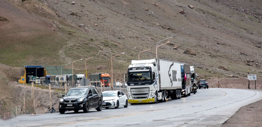
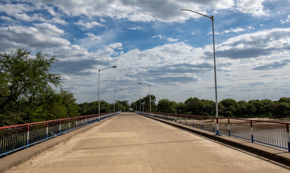
Argentina – Bolivia border extends for approximately 832 kilometres between the ARBOCL tripoint with Chile on Cerro Zapaleri and the ARBOPY tripoint on the thalweg of the Rio Pilcomayo. The border transitions from Andean highlands (Altiplano) with volcanic peaks near Chile, through river valleys (Rio Pilcomayo, Bermejo), down to the tropical Chaco lowlands, following lines of latitude (22nd parallel) and rivers, defined by pillars and natural features, connecting Bolivia’s Potosí/Tarija with Argentina’s Jujuy/Salta regions, creating distinct geographic zones from high-altitude deserts to humid plains. Major crossings include La Quiaca (Argentina) into Villazón (Bolivia).
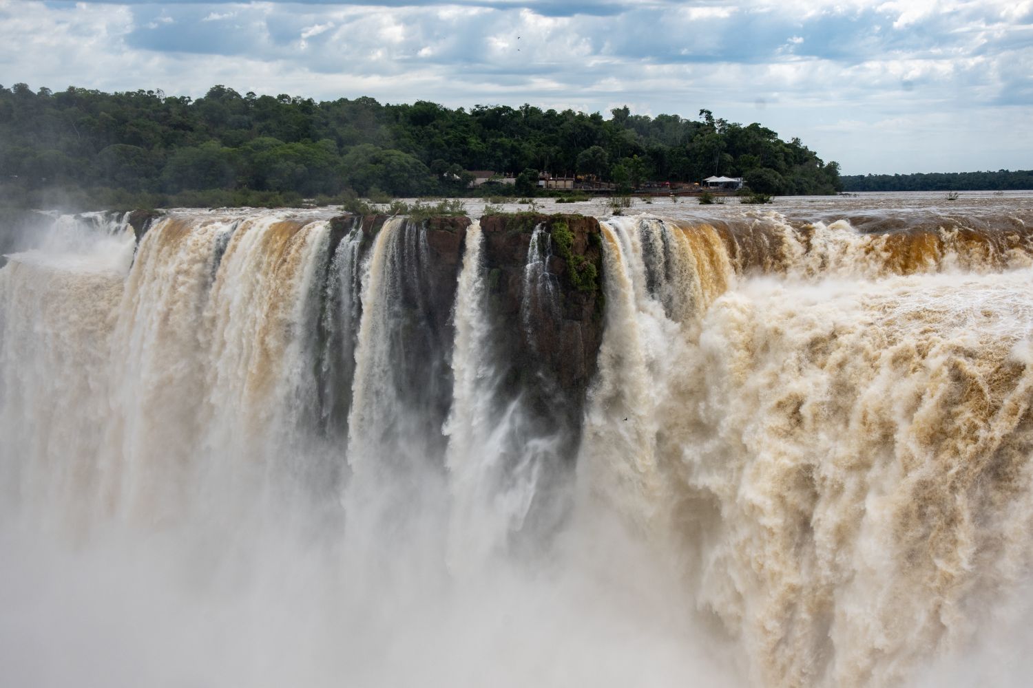
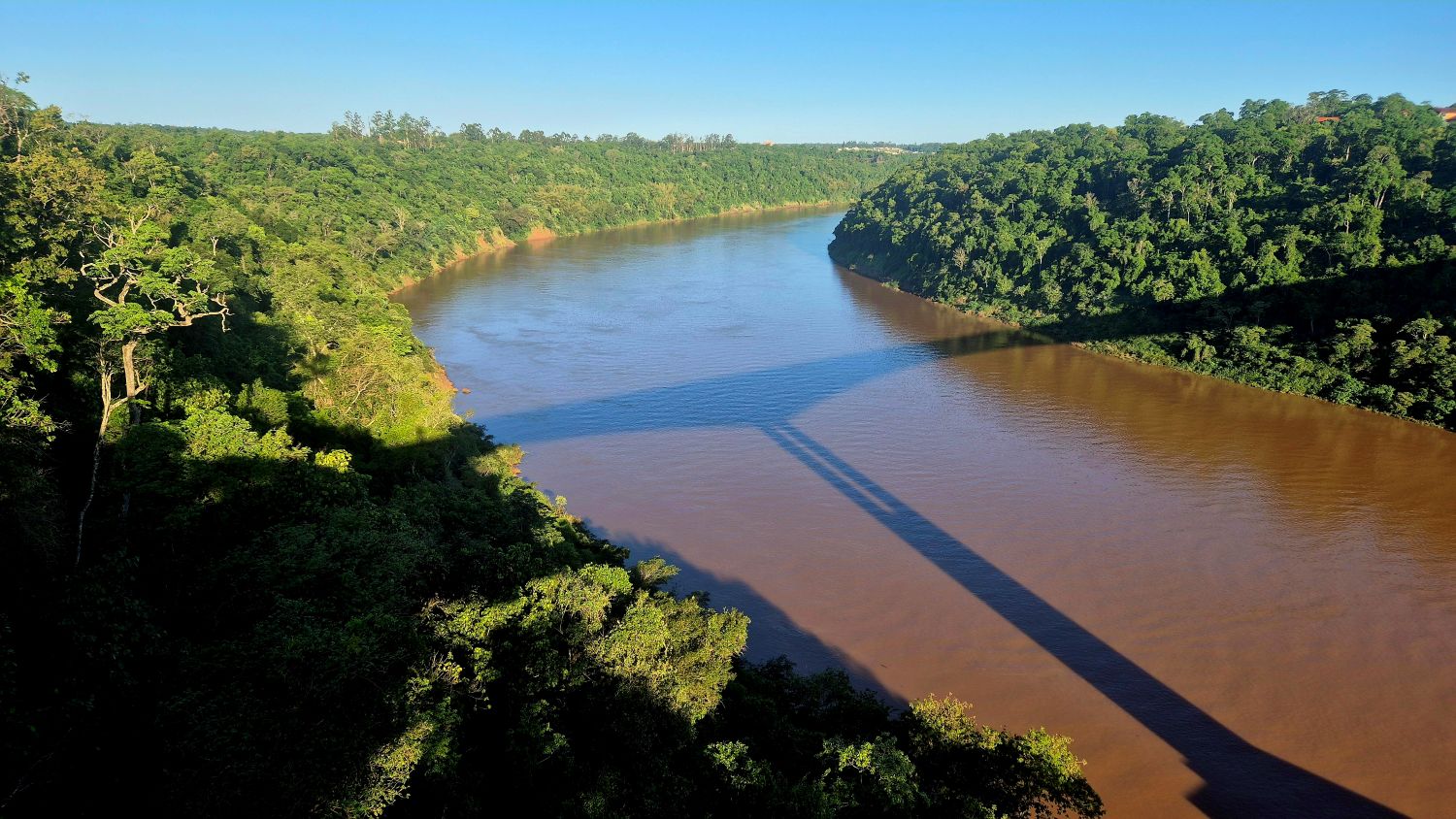
Argentina – Brazil border is mainly “wet” with 1,224 km by rivers and only 24 km by land. The border was established in by the Treaty of 1898 (which is based on an Arbitration Award 1895). There are 310 boundary markers. Starting at the confluence of Paraná and Iguaçu rivers at the ARBRPY tripoint, it passes through the Iguaçu Falls and follows the thalweg of that river to the mouth of Santo Antônio River, then running upstream the course of this river until its source. From there the boundary runs 25.1 km by land until reaching the source of the Peperi-Guaçu River and from there along the channel of that river to its confluence with the Uruguay River, then running downstream the course of the Uruguay to the mouth of river Quaraí at ARBRUY tripoint.

Argentina – Chile border is 5308 km long and is the longest international border of South America and the third longest in the world after the Canada–United States border and the Kazakhstan–Russia border. The Boundary Treaty of 1881: Established the foundation for the current border, intended to resolve disputes over Patagonia and the Strait of Magellan. The 1984 Treaty of Peace and Friendship: Formally settled the Beagle Channel dispute and established lasting maritime and territorial limits.
It is drawn from north to south beginning at the ARBOCL tripoint along the Andes Mountains where the border often follows the line of highest peaks and the continental watershed. The border splits the southern archipelago along the 68°W meridian, with Argentina to the east and Chile to the west. Several large Patagonian lakes are split between the two nations, often having different names on each side. There is a border dispute in the Patagonian Ice Field where 50km is not demarcated. Both countries have overlapping claims in Antarctica, which are currently frozen under the 1959 Antarctic Treaty.
Many crossings along the border are also mountain passes along the continental divide. In the far south and far north the border follows straight lines between summits or along parallels or meridians.
Please click on the images below to access visit reports, with maps, more photos and analysis.
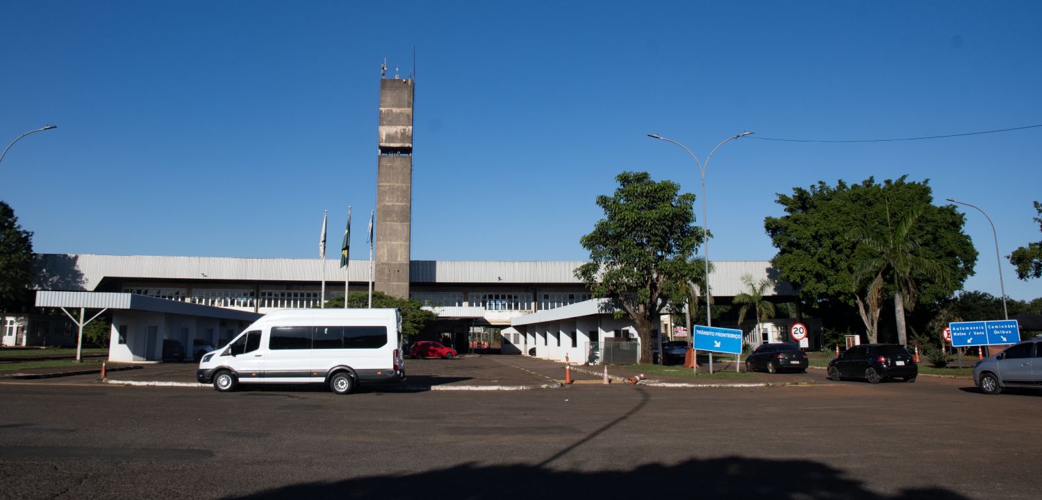
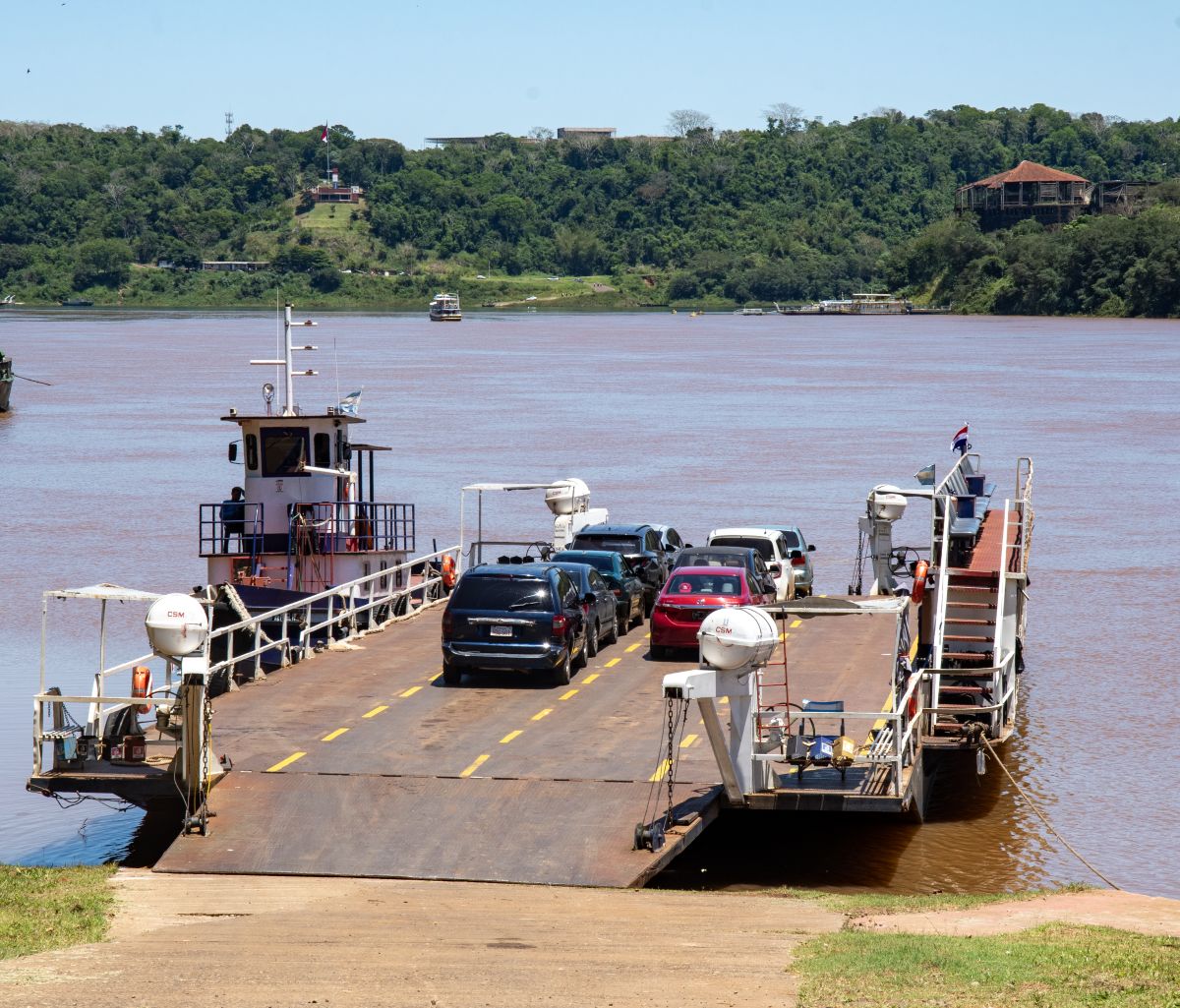
Argentina – Paraguay border is 1689 km long and is solely defined by three major rivers: the Pilcomayo, Paraná and Paraguay, being one of the largest natural borders in the world. The capital of Paraguay, Asunción, lies on one of the banks of the Paraguay River, which borders Argentina. It starts at the AGBOPY tripoint in the west and finishes at the AGBRPY tripoint in the east, which is possibly the most touristic tripoint in the world being close to the world famous Iguazú Falls, located on the border with Brazil. The border has a multitude of border crossings including bridges and ferries.
Please click on the images below to access visit reports, with maps, more photos and analysis.
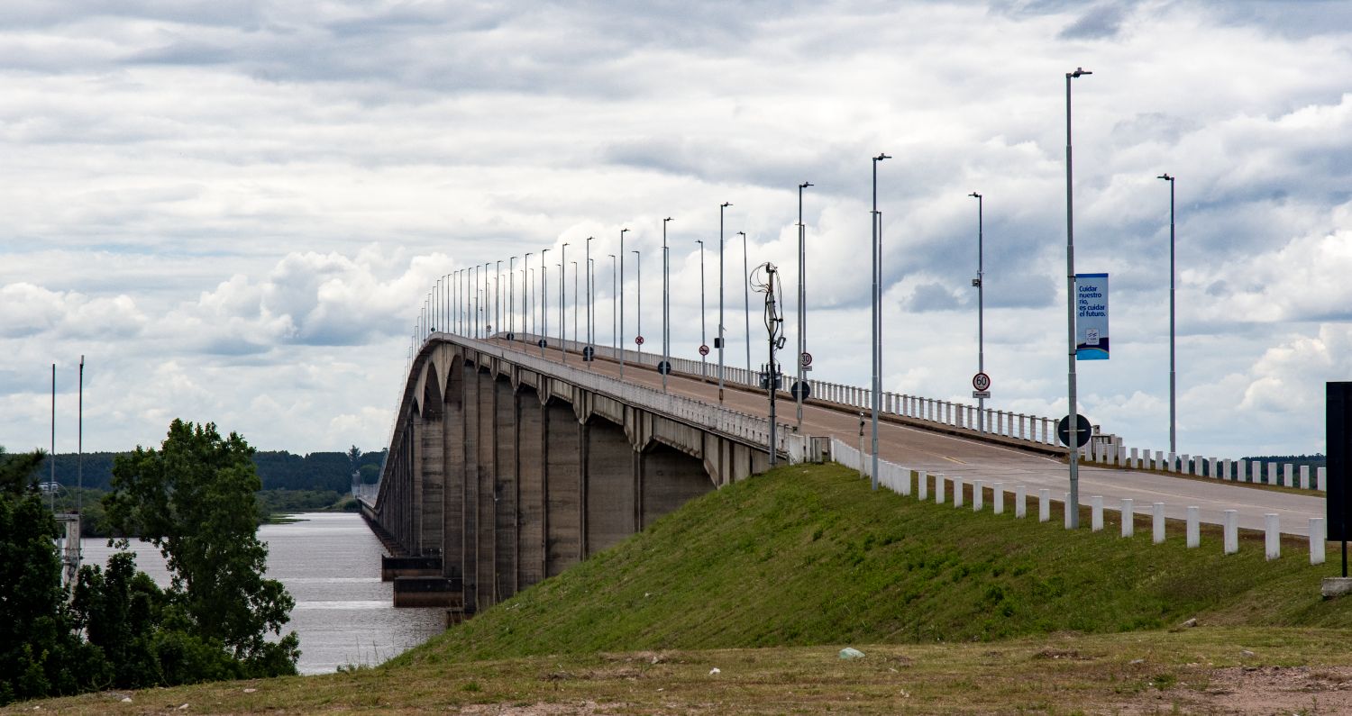
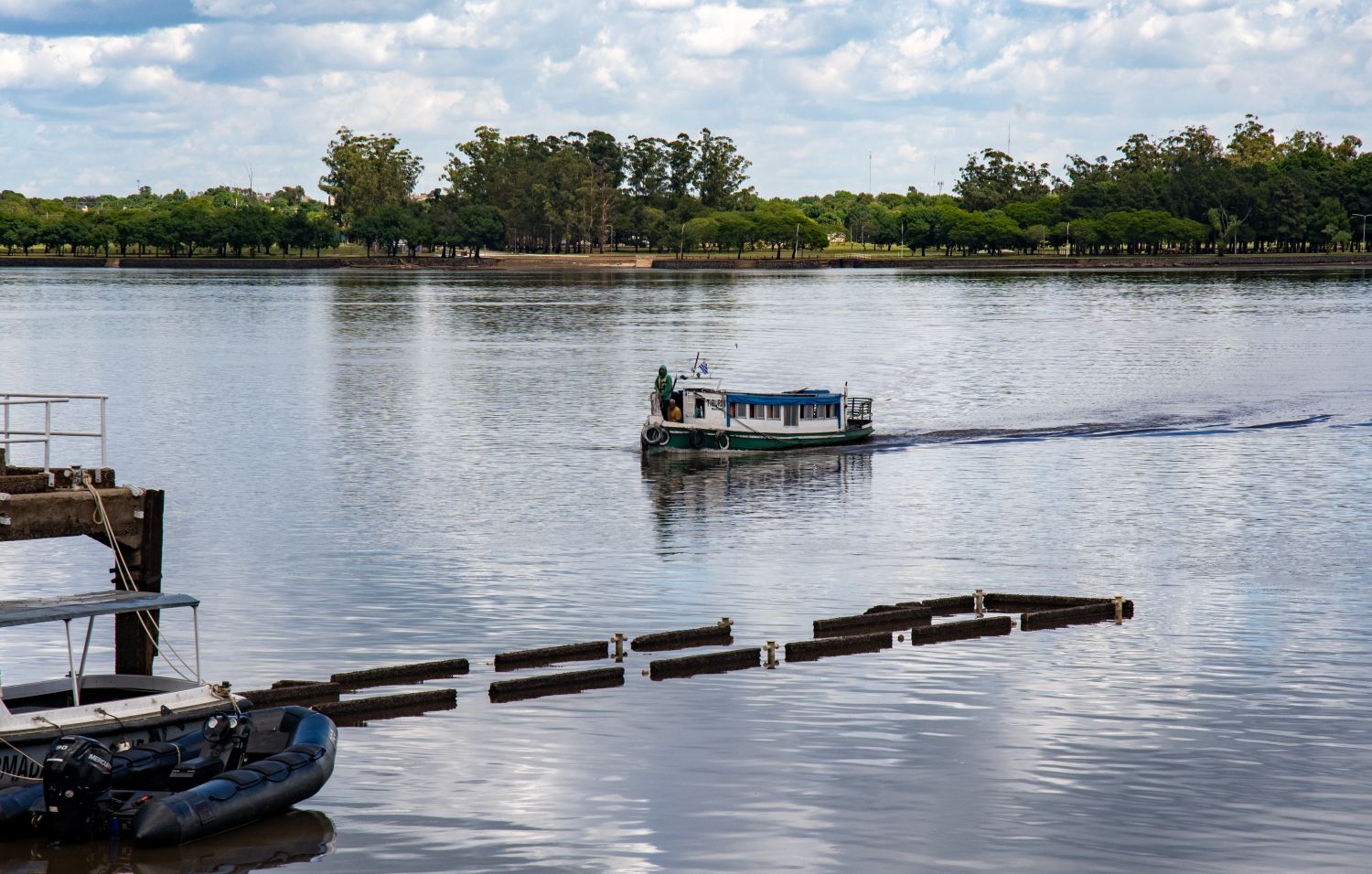
Argentina – Uruguay border is 579 km long marked by the Uruguay River, and is the border between Argentina and Uruguay. It starts in a triple border Argentina-Uruguay-Brazil, at the mouth of the Quaraí River in the Uruguay. The course follows the Uruguay river, passing west of the Uruguayan departments of Artigas, Salto, Paysandu, Rio Negro, Soriano and Colonia and the Argentine provinces of Corrientes, Entre Rios and Buenos Aires, until the confluence of the Uruguay and the Paraná rivers into the Rio de la Plata. The Treaty of Montevideo (1828) established the border. A further treaty in between Uruguay and Argentina concerning the Río de la Plata and the Corresponding Maritime Boundary was signed in 1973. The border between the 2 countries is entirely “wet” with the exception of a small land border on Isla Martín García which is a unique Argentine island in the Río de la Plata, technically within Uruguayan waters, that shares a rare land border with Uruguay’s Timoteo Domínguez Island, formed as river sediments joined them. A 1973 treaty established Martín García as Argentine territory, a nature reserve, and historical site.
Please click on the images below to access visit reports, with maps, more photos and analysis.

Falkland Islands (Islas Malvinas) border dispute
When in Argentina it is impossible to not to see the significance of the Islas Malvinas to the Argentinian people. Almost everywhere there are artifacts, memorials, signs on buses, outside schools, on the side of roads and tourist souvenirs all proclaiming that the Falkland Islands are Argentinian.
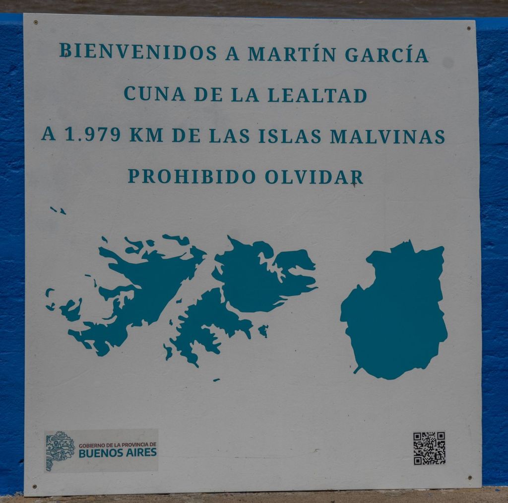
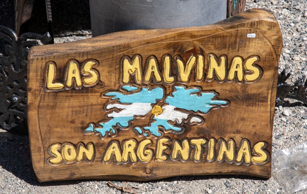
The Argentinian position is based on inheriting the Spanish title to the islands upon independence and geographical proximity. Argentina argues it inherited the territory in 1816 according to the principle of uti possidetis juris. They also contend that the current inhabitants are a “transplanted population” and therefore do not have the right to self-determination, as Argentina had a small settlement there between 1826 and 1833.
The British position rests on discovery, continuous administration since 1833, and the right of the current inhabitants to self-determination. English explorer Captain John Davis made the first recorded sighting of the Falkland Islands in 1592 from his ship Desire, though he didn’t land.
The first undisputed landing was by another Englishman, Captain John Strong, in 1690, who named the strait between the main islands after Viscount Falkland, giving the archipelago its name.
French navigator Louis-Antoine de Bougainville established the first settlement in 1764, followed by the British in 1765. The British first landed on the islands in 1690 and established a settlement in 1765. They have exercised de facto sovereignty almost continuously since regaining control in 1833. The UK emphasizes the islanders’ right to self-determination, citing the 2013 referendum where 99.8% voted to remain a British Overseas Territory. They also argue that that Spain withdrew its forces in 1811, 5 years before Argentina gained its independence, therefore the principle of uti possidetis cannot apply.
The Falklands War (Spanish: Guerra de las Malvinas) was a ten-week undeclared war between Argentina and the United Kingdom in 1982 over two British Overseas Territories in the South Atlantic: the Falkland Islands and its territorial dependency, South Georgia and the South Sandwich Islands. The conflict began on 2 April 1982, when Argentina invaded and occupied the Falkland Islands, followed by the invasion of South Georgia the next day. On 5 April the British government dispatched a naval task force to engage the Argentine Navy and Air Force before making an amphibious assault on the islands. The conflict lasted 74 days and ended with an Argentine surrender on 14 June, returning the islands to British control. In total, 649 Argentine military personnel, 255 British military personnel and three Falkland Islanders were killed during the hostilities.
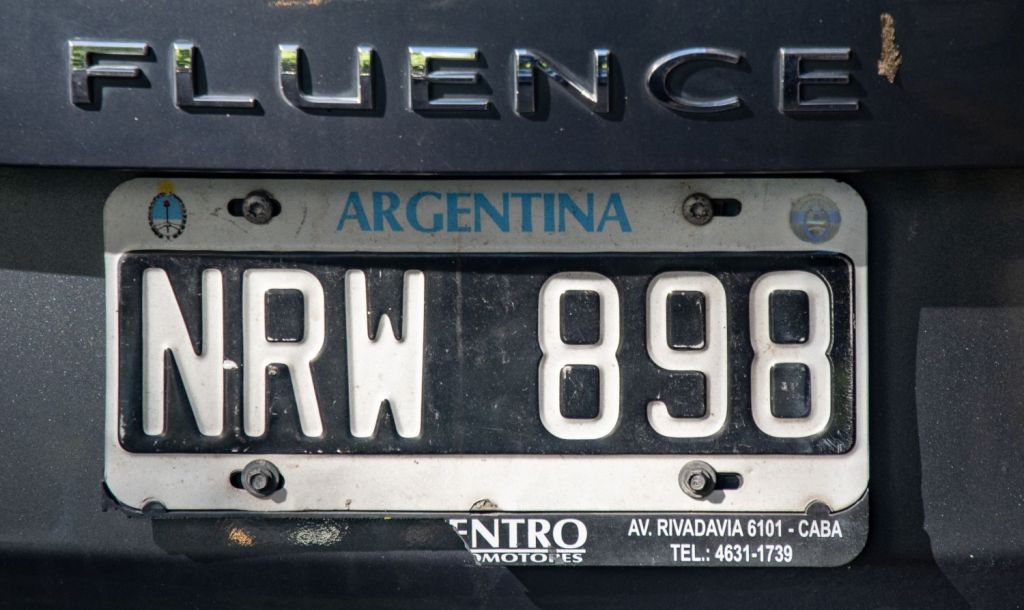
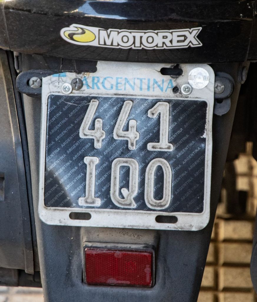
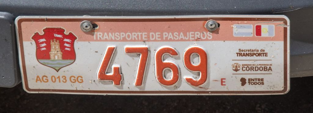
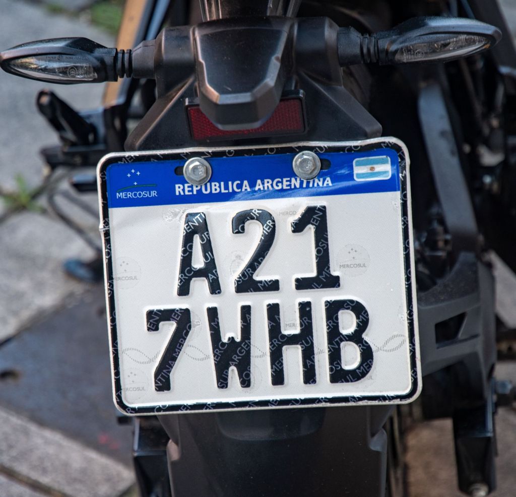
Argentinian Number Plates


Argentinian Tripoints

| number | name | country | coordinates | type | notes/links |
|---|---|---|---|---|---|
| 1 | ARBOCL | Argentina – Boliva – Chile | 22°48′30″S 67°10′40″W | Dry | The tripoint is located on the summit of the Zapaleri extinct volcano (5600m). Marked with a metal monument indicating the 3 countries. The Bolivian Instituto Geográfico Militar installed a triangulation station marker and an associated reference marker in 1965, and the Chilean Instituto Geográfico Militar installed a triangulation station marker in 1970. |
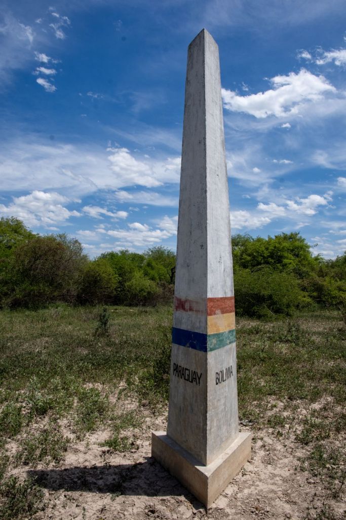
| 2 | ARBOPY | Argentina – Boliva – Paraguay | 22°14′S 62°39′W | Dry | Marked by a concrete pillar, at the edge of the Pilcomayo River on alluvial deposits. Names and flags of respective countries. Hito Esmeralda refers to BM #1 BO/PY. 2650m distant. |
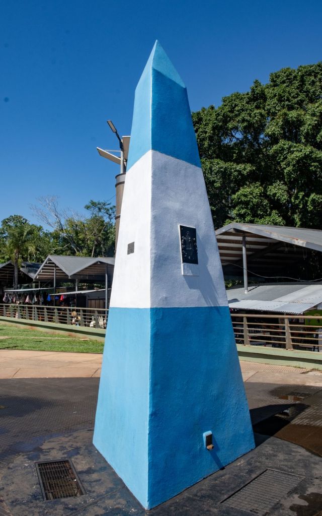
| 3 | ARBRPY | Argentina – Brazil – Paraguay | 25°35′33″S 54°35′37″W | Wet | 3 Fronteiras is where the where the Iguazú and Paraná rivers converge. A new bridge across the Paraná river has been bult just north of the tripoint. |
| 4 | ARBRUY | Argentina – Brazil – Uruguay | 30°12′S 57°39′W | Wet | Disputed with the ownership of Brasilera Island contested between Brazil and Uruguay. 2 monuments, one on BR mainland and one on the island close to the TP. Southernmost tripoint in the world |
Tripoint Gallery


Site Navigation
In order to find your way around the site, either click on the links (text in red) or use the menus at the top and side of the pages. About leads you to the main areas of the site. The Americas Tripoints menu leads directly you to my visit reports whereas the Country Visits page allows you to choose which country to look at first. Clicking on photos can lead you directly to reports too.

Mobile Users Advice
Tables display correctly when holding your mobile horizontally.
To access the links to other pages please click on the 3 horizontal dots at the bottom of the page

