
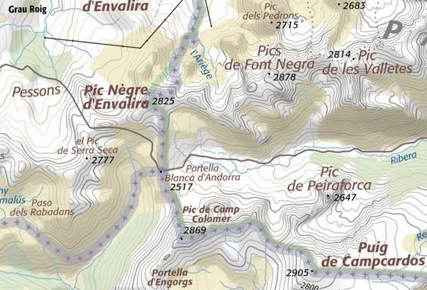
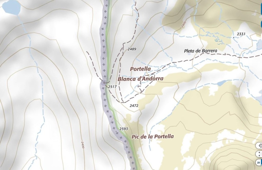
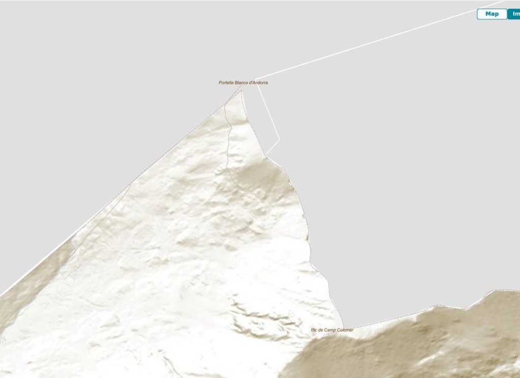
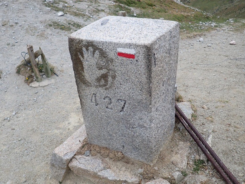
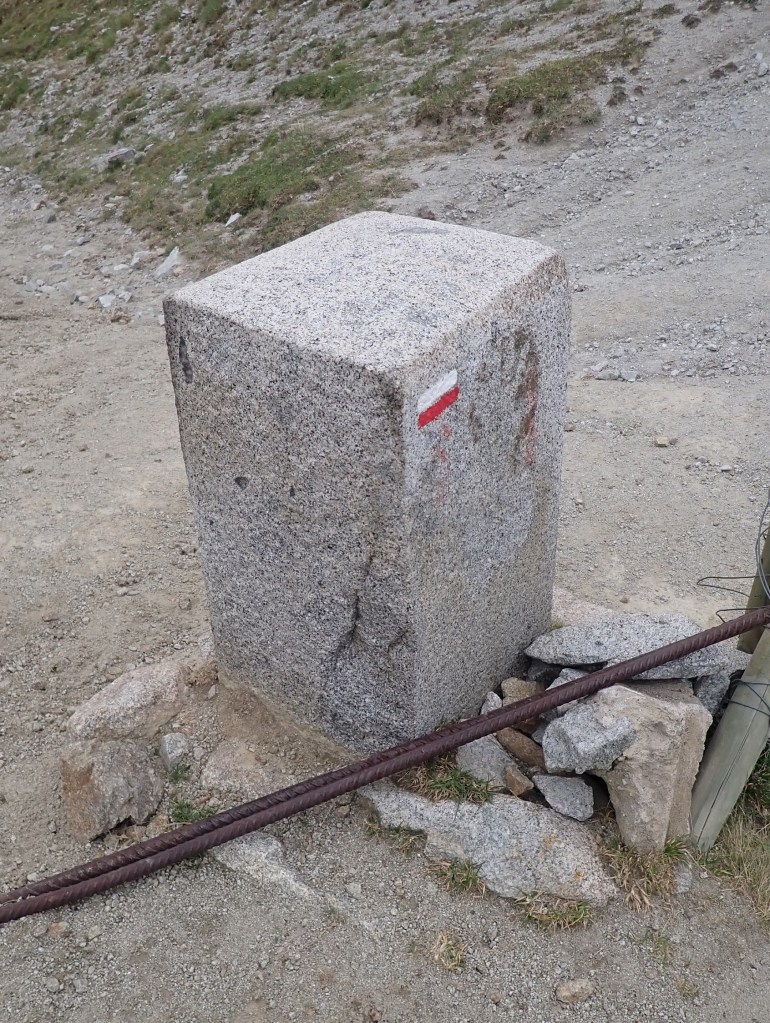
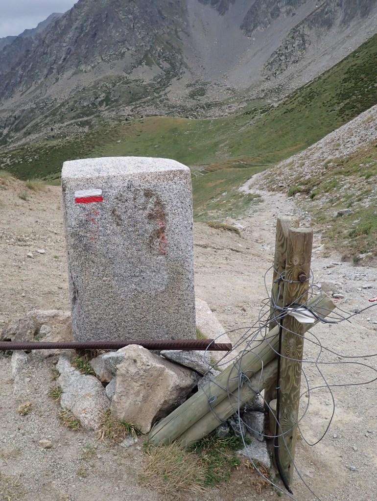
The Portella Blanca d’Andorra or Coll d’Engaït (2515m) is a mountain pass where the boundaries of Andorra, Spain and France meet. It also forms the administrative boundary of Encamp , Lles de Cerdanya , and Porta. At the top of the pass there is border marker #427 which is taken to mark the tripoint.
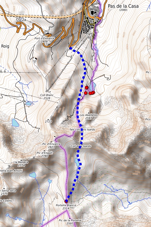
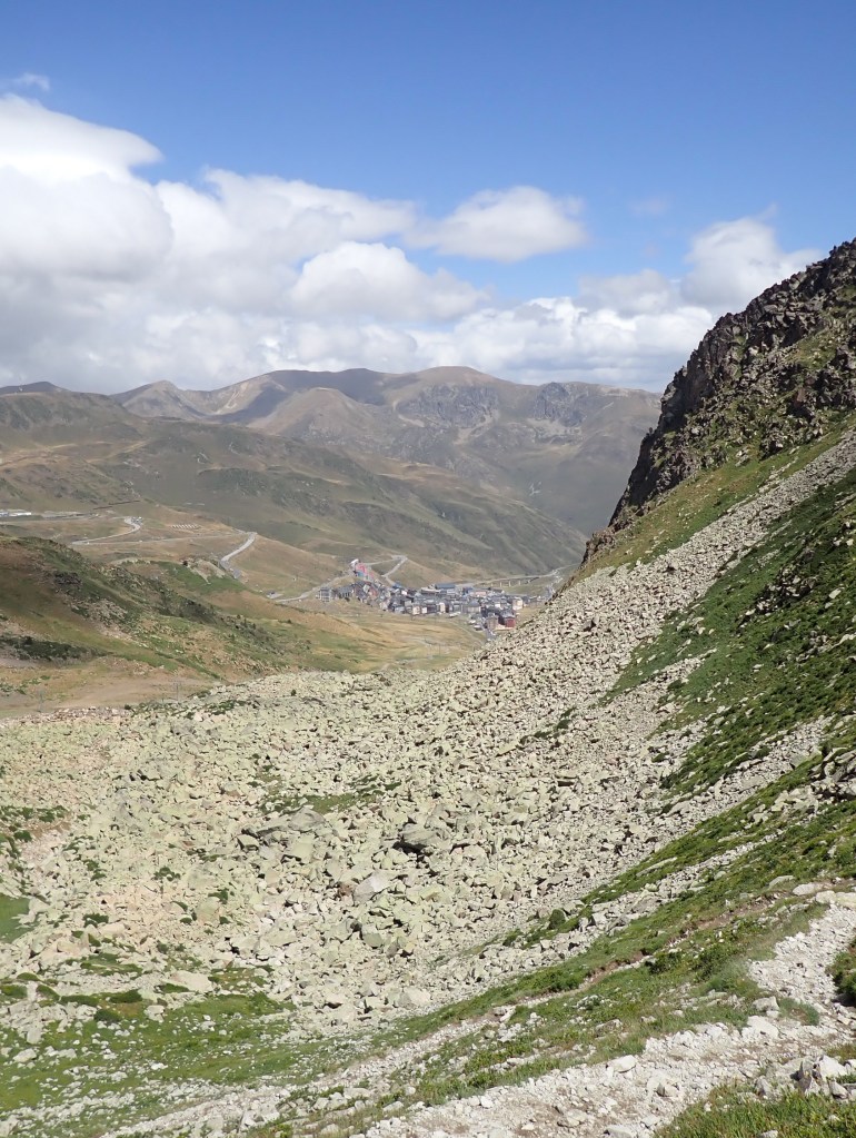
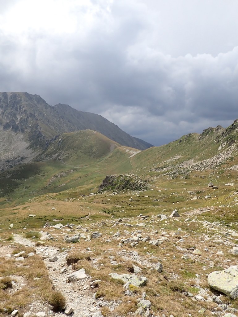
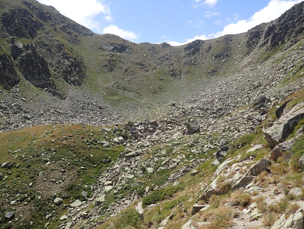
The hike to the tripoint is relatively straightforward on well established trails. I hiked it it August (recommended season June -September) and there were strong winds and some persistant rain so be prepared with appropriate clothing and footwear. Be prepared to be on your own too, after Coll dels Isards 2475m I did not see anyone.
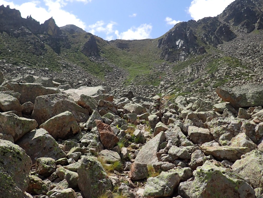
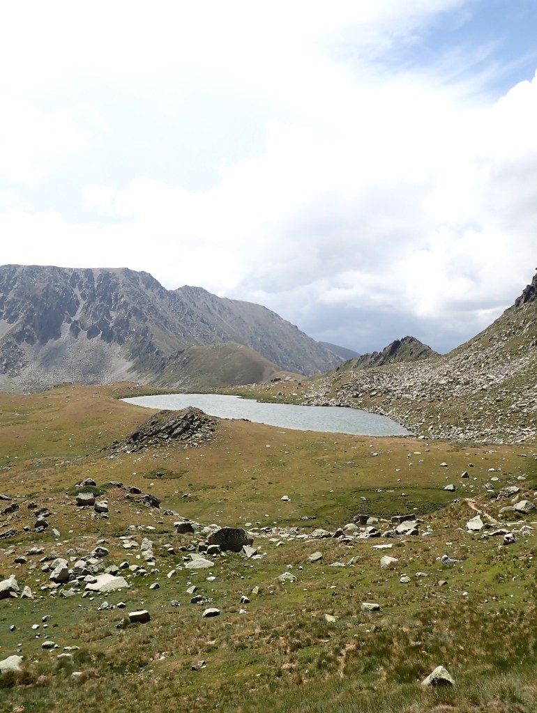
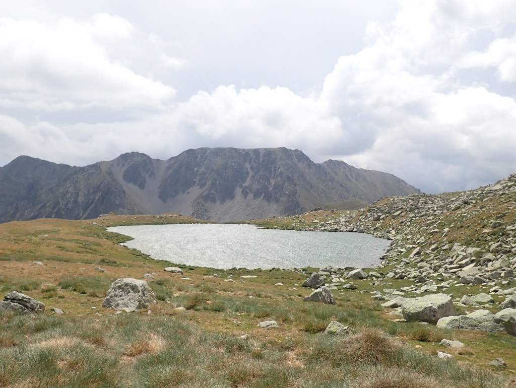
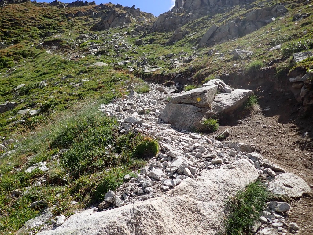
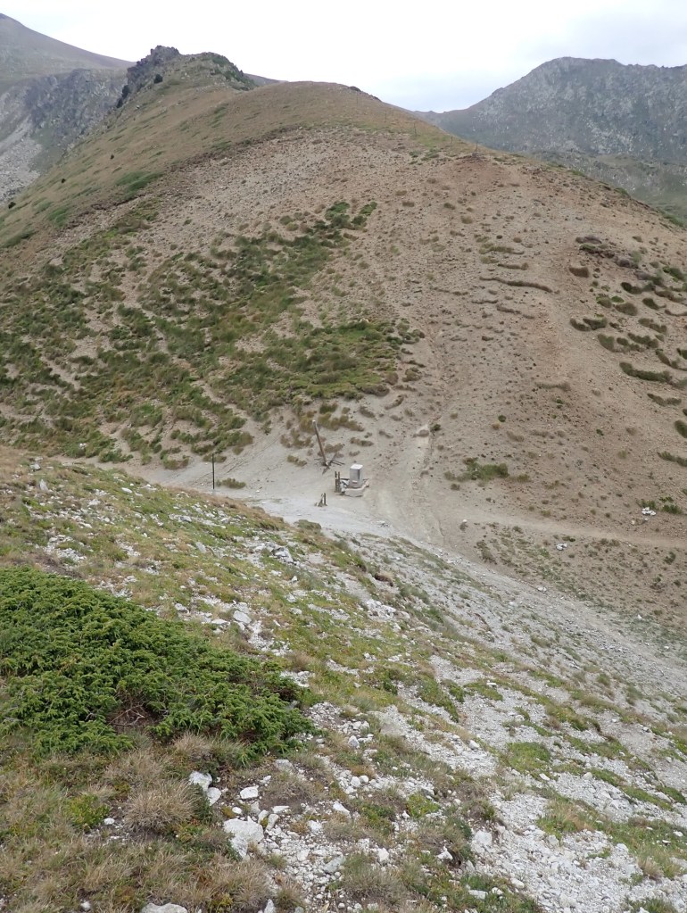
Heading south from Estany de les Abelletes and the AD/FR border markers (report here) towards the Coll dels Isards involves crossing a rocky section and then a gradual pull up across 2 ridges and the col. A steep drop down to a picuresque lake Estany Negre de les Passaderes takes you in sight of Portella Blanca.
So where is the Tripoint?
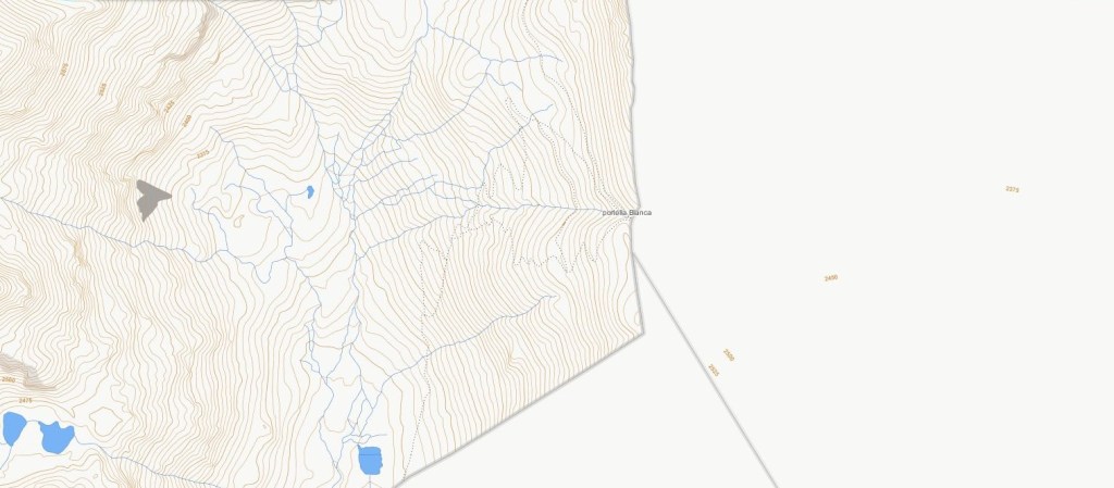
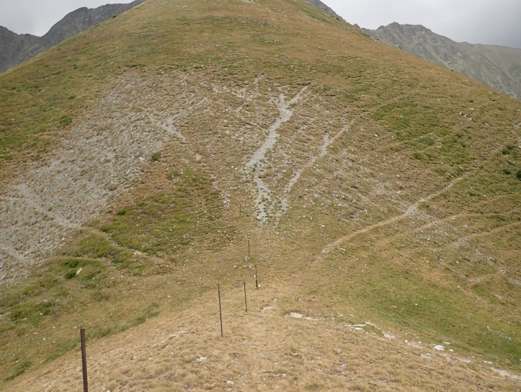
Portella Blanca with its border marker #247 is cited in the treaty as being the point where the 3 countries meet. Different maps have it about 220m south on small col between 2 hills. Notwithstanding the treaty the current geoportals differ too with France locating the tripoint at the border marker but both Andorra and Spain recording the tripoint as being slightly further south.
French Maps
Andorran Map
Spanish Map
So where is the tripoint? The border marker is cited in the treaty and current maps from the respective countries don’t agree. To be sure I visited both places but on the ground perhaps the border marker spot “felt” more real. Ultimately it is for others to decide.
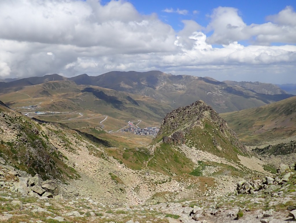
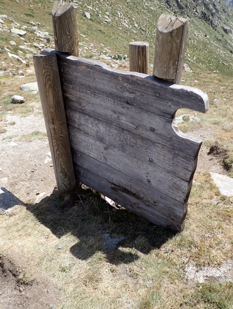
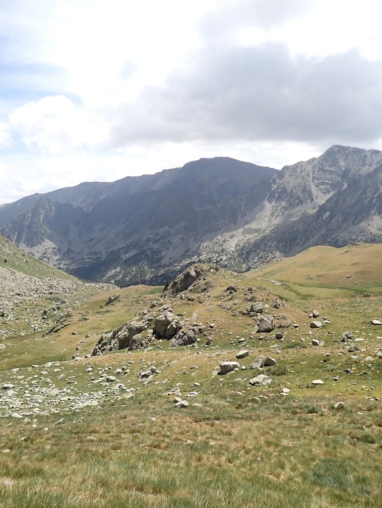
The route up
Border marker # 247
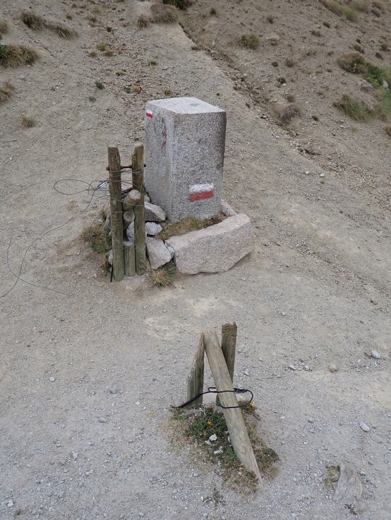
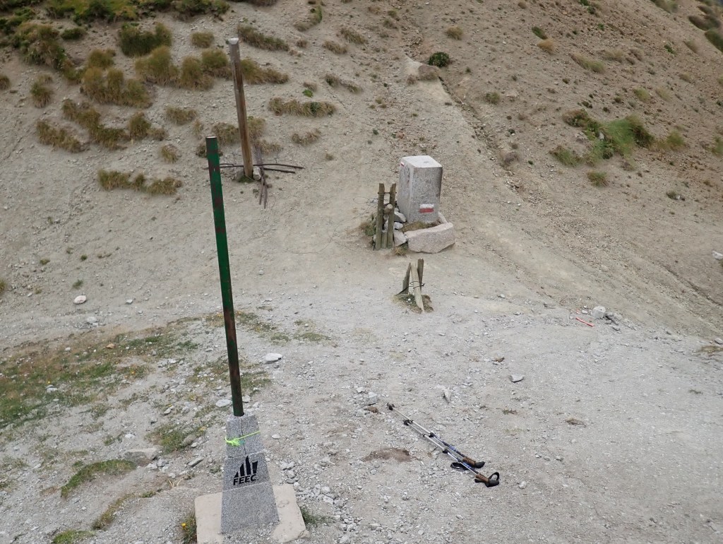
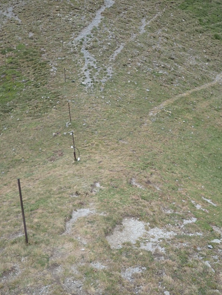
The unmarked col or saddle 220m south

Date of Visit: 12.08.2020
References:
- The bordermarkers of the Pyrenees : all markers ( Eef Berns) Website here
