
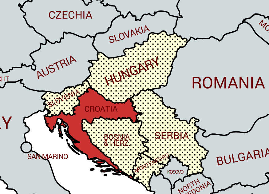
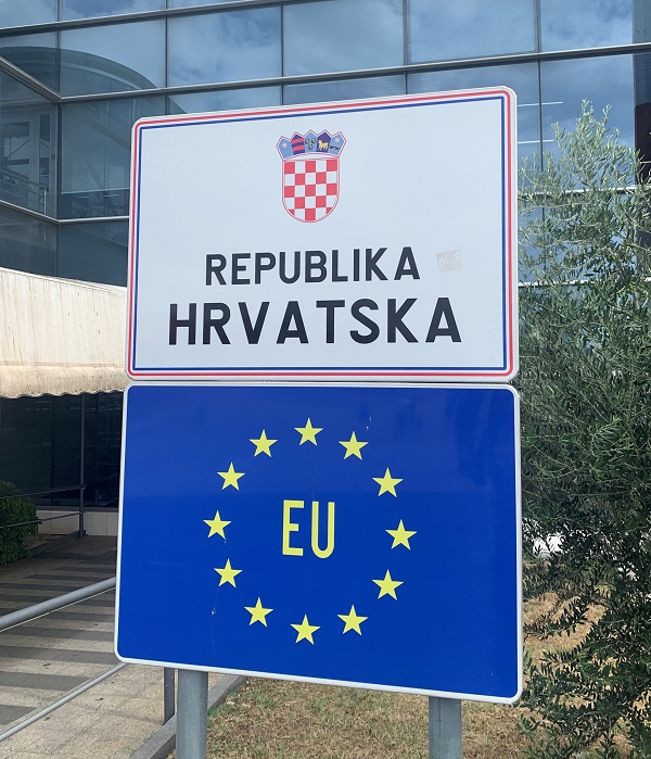
Croatia (Croatian: Hrvatska), officially the Republic of Croatia (Croatian: Republika Hrvatska), is a country in Southeast Europe. It borders Slovenia to the northwest, Hungary to the northeast, Serbia to the east, Bosnia and Herzegovina, and Montenegro to the southeast, sharing a maritime border with Italy. Part of the extreme south of Croatia is separated from the rest of the mainland by a short coastline strip around Neum belonging to Bosnia–Herzegovina. Croatia has an area of 56,594 square kilometres and a population of 4.07 million, most of whom are Catholics.
Croatia has been an independent country for a relatively short period of its history being part of wider Empires for a substantial time, initially with Hungary and Austria and then latterly with Yugoslavia. In 1991 Croatia declared its independence as the nationalist tensions in the region led to the dissolution of Yugoslavia. The Croatian War of Independence was fought successfully for four years following the declaration.
Croatia is a republic governed under a parliamentary system. It is a member of the European Union (EU), the United Nations (UN), the Council of Europe, NATO, the World Trade Organization (WTO), and a founding member of the Union for the Mediterranean. As an active participant in the UN peacekeeping forces, Croatia has contributed troops to the NATO-led mission in Afghanistan and took a non-permanent seat on the UN Security Council for the 2008–2009 term.
Croatia is classified as a high-income country. The economy is dominated by service, industrial sectors and agriculture.
Tourism is a significant source of revenue, with Croatia ranked among the top 20 most popular tourist destinations in the world. Croatia provides social security, universal health care system, and a tuition-free primary and secondary education.
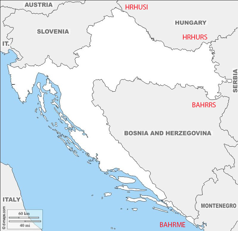
Border facts: Croatia borders Bosnia–Herzegovina and Serbia in the east, Slovenia in the west, Hungary in the north and Montenegro and the Adriatic Sea in the south.
Croatia – Slovenia border is 667.8 km long. Following the breakup of Yugoslavia in 1991, Slovenia and Croatia became independent countries. As the border between the countries had not been determined in detail prior to independence, several parts of the border were disputed, both on land and at the sea. The border runs in the direction from the southwest to the northeast. Most of the border was defined by commissions, matching the northwestern border of the Kingdom of Croatia-Slavonia, and establishing a new section of Croatian border north of the Istrian peninsula according to the ethnic composition of the territory previously belonging to the Kingdom of Italy. There are however several border disputes primarily stemming from a lack of offical demarcation within Yugoslavia and differing interpretations adopted by the 2 countries. Examples include the Gulf of Piran, the Dragonja river, the peak of Sveta Gera and the Mura river.
Click on the images below for more information on the Dragonja river dispute.
Croatia – Hungary border is 355.5 km long. Much of the border with Hungary follows the Drava River and has been a frontier for centuries. Hungary built a border barrier on its border with Croatia in 2015.
Croatia – Serbia border is 314km long. Each country has significant minorities within the other. Much of the border is made up of the Danube. The Croatia–Serbia border dispute entails competing claims regarding the border at several points along the Danube River valley shared by the two countries. The disputed areas are located along a 140-kilometre portion of the course, out of 188-kilometre of the river course in the area. In that area, the border is defined differently by the neighbouring countries—either as following the course of the Danube, as claimed by Serbia, or following a line tracing the borders of cadastral municipalities having seat in either of the two countries, as claimed by Croatia. These disputes are ongoing.
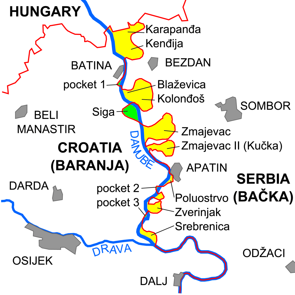
The Croatia–Serbia border dispute in the Bačka and Baranja area. The Croatian claim corresponds to the red line, while the Serbian claim corresponds to the course of the Danube.
Yellow areas are under Serbian control but claimed by Croatia. Green areas Terra nullius are under de facto Croatian control, although not claimed by either Croatia or Serbia
Croatia – Bosnia Herzogovina border is 956 km long and is largely the result of the Ottoman conquest and subsequent recapture of territories in the Great Turkish War of 1667–1698 formally ending with the Treaty of Karlowitz, as well as the Fifth and Seventh Ottoman–Venetian Wars. This border had minor modifications in 1947 when all borders of the former Yugoslav constituent republics were defined by demarcation commissions. This border was subject to a detailed review and an agreement was reached in 1999 although not ratified by the respective parliaments. Hence disagreements exist over areas such as the Klek peninsula and two islets currently occupied by Bosnia.
An interesting aspect of the border between the 2 counties is the Neum Corridor.
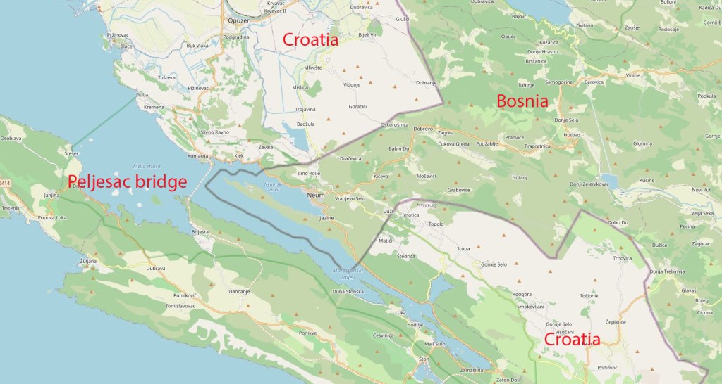
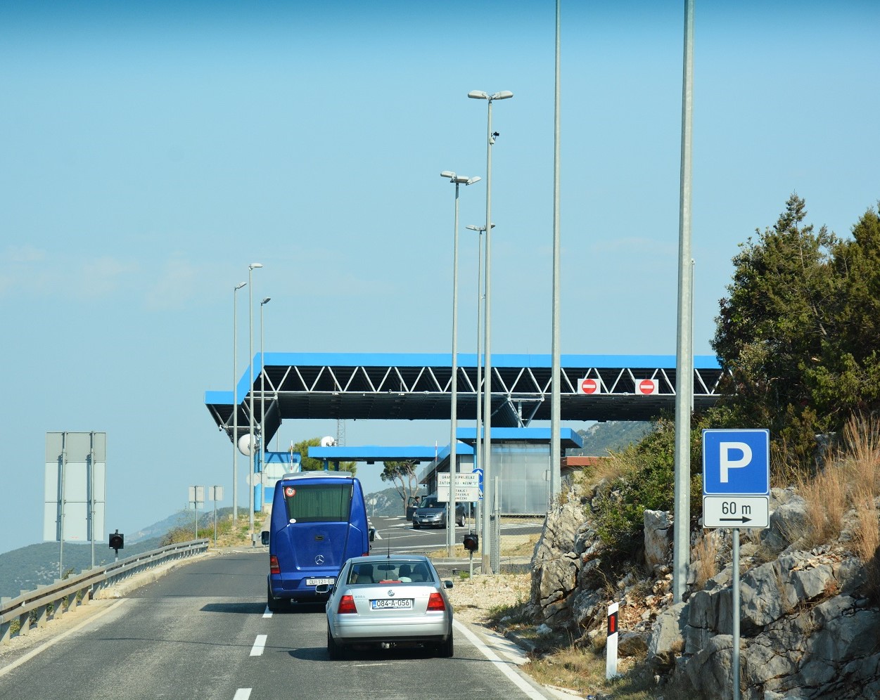
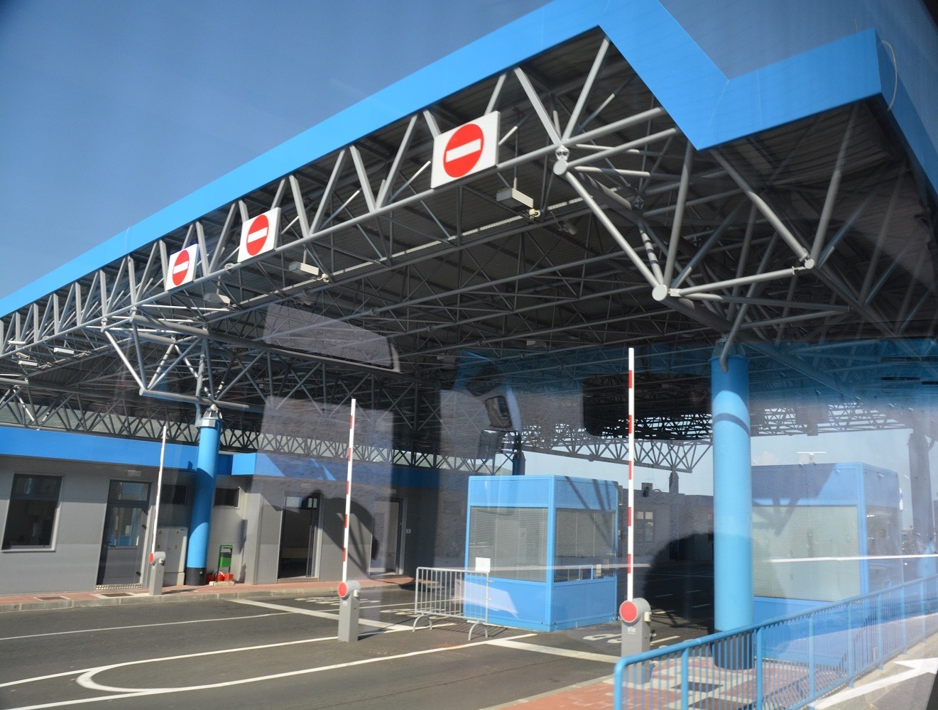
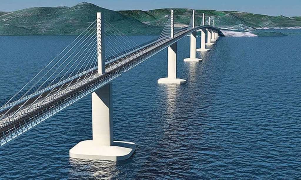
The Neum Corridor is a 9 km long stretch of Bosnia-Herzegovina territory that stands between Central and South Dalmatia. This is a result of the Treaty of Karlowitz of 1699. With its admission to the European Union, Croatia had to apply EU regulations at its border crossings, including the passage through the Neum section.

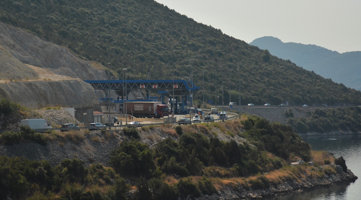
In order to avoid this and to increase the territorial integrity of Croatia, the planned Peljesac bridge after many delays will be completed in 2022. Although some in Bosnia and Herzegovina tried to block the construction of the bridge until the maritime border is settled, it is currently being built by a Chinese construction company and funded primarily by the EU.
Croatia – Montenegro border is 22.6 km long and follows the internal demarcations of the old Yogoslavia. In late 2002, Croatia and Serbia and Montenegro adopted an interim agreement to settle the disputed Prevlaka peninsula at the entrance of the Bay of Kotor in Croatia’s favour, allowing the withdrawal of the UN monitoring mission. This agreement applies to Montenegro since its independence. Countries agreed to settle all possible disputes at International Court of Justice in Hague.
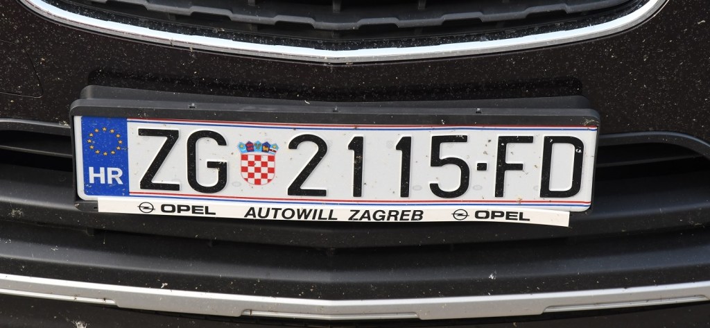
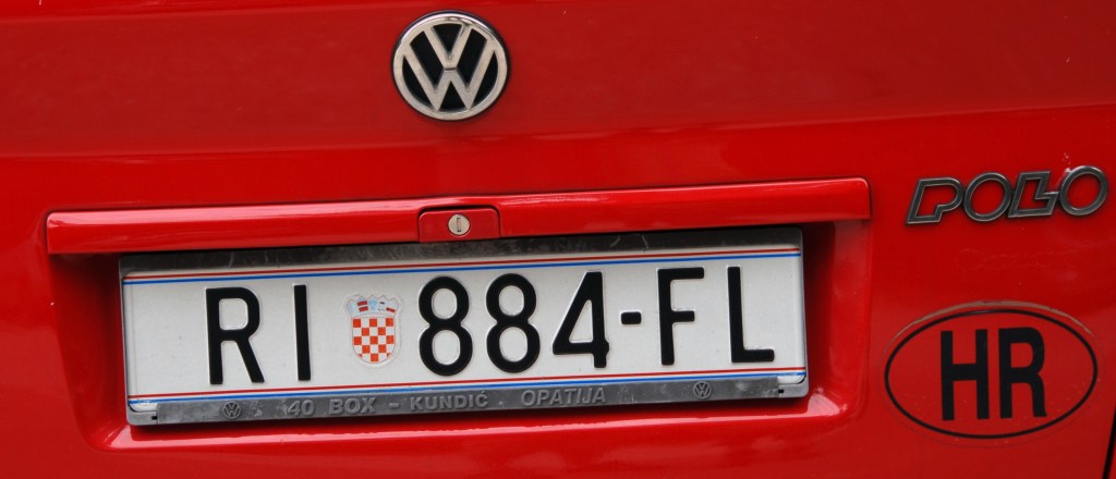
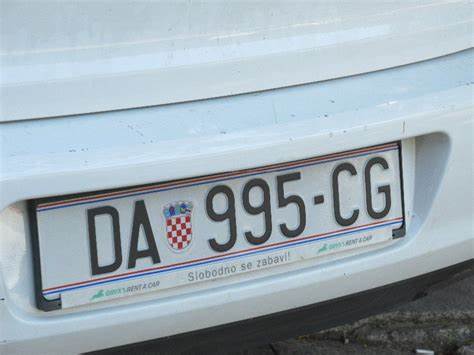
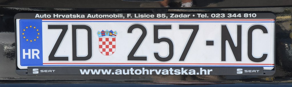
Croatian Registration Plates
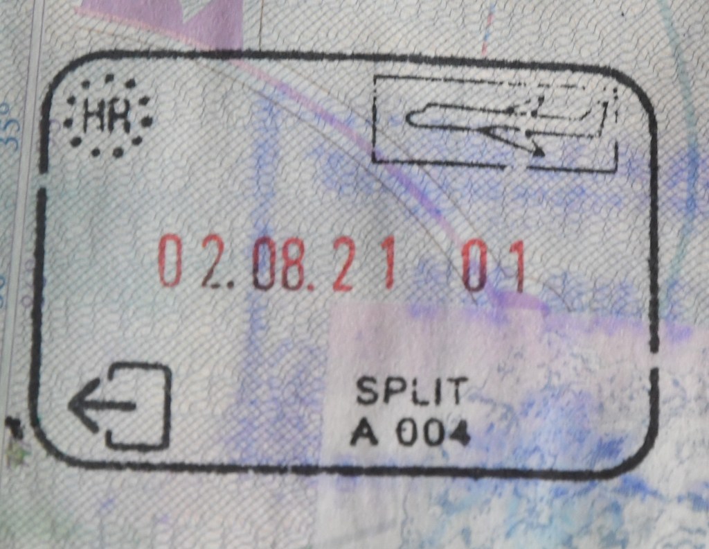
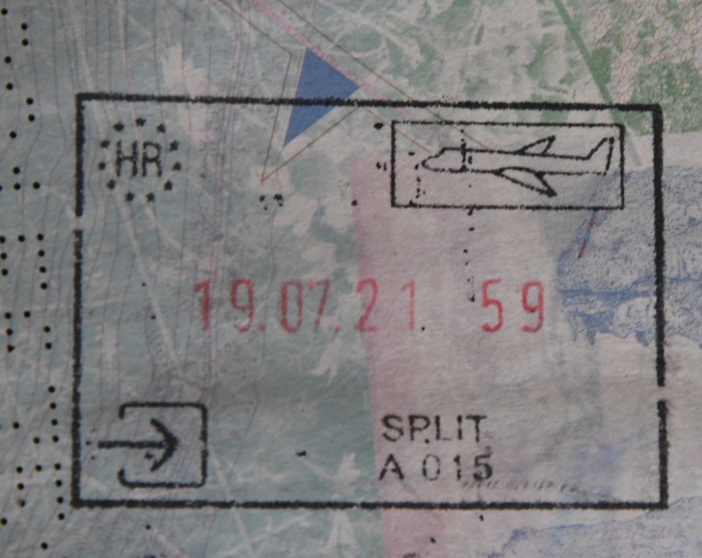
Croatian Passport Stamps
Croatian Tripoints
| number | name | countries | Type | coordinates | links |
|---|---|---|---|---|---|
| 1 | BAHRME | Bosnia and Herzegonia – Croatia – Montenegro | Dry | 42°33’32″N 18°26’15″E | The tripoint is located very close to the Sitnica (ME) border crossing control post. The is no evidence that it has been demarcated, although the border might have cairns (rather than border markers). |
| 2 | BAHRRS | Bosnia and Herzegonia – Croatia – Serbia | Dry | 44°51′09″N 19°00′38″E | The tripoint is located in the Sava river, north of Vršani (BA). It might be possible to access the northern bank by woodland tracks. |
| 3 | HRHURS | Croatia – Hungary – Serbia | Dry | 45°55’18″N 18°53’24″E | The tripoint is located at a place called Zelena Glava, between Pljevlja, Priboj, and Čajniče. A tripoint agreement was signed in 2019 and there are plans for a monument to be built. |
| 4 | HRHUSI | Croatia – Hungary – Slovenia | Wet | 46°28’09″N 16°36’37″E | The tripoint is located near the Krka and Ledava, rivers The is a BM at the tripoint. The HUSI border is demarcated. Easternmost point of SI. Access from Benica (10km). Van der Giessen (2024) |


Site Navigation
In order to find your way around the site, either click on the links (text in red) or use the menus at the top and side of the pages. About leads you to the main areas of the site. The European Tripoints menu leads directly you to my visit reports whereas the Country Visits page allows you to choose which country to look at first.
Mobile User Advice
Tables display correctly when holding your mobile horizontally.
To access the links to other pages please click on the 3 horizontal dots at the bottom of the page.

