
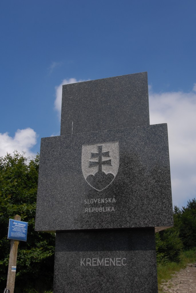
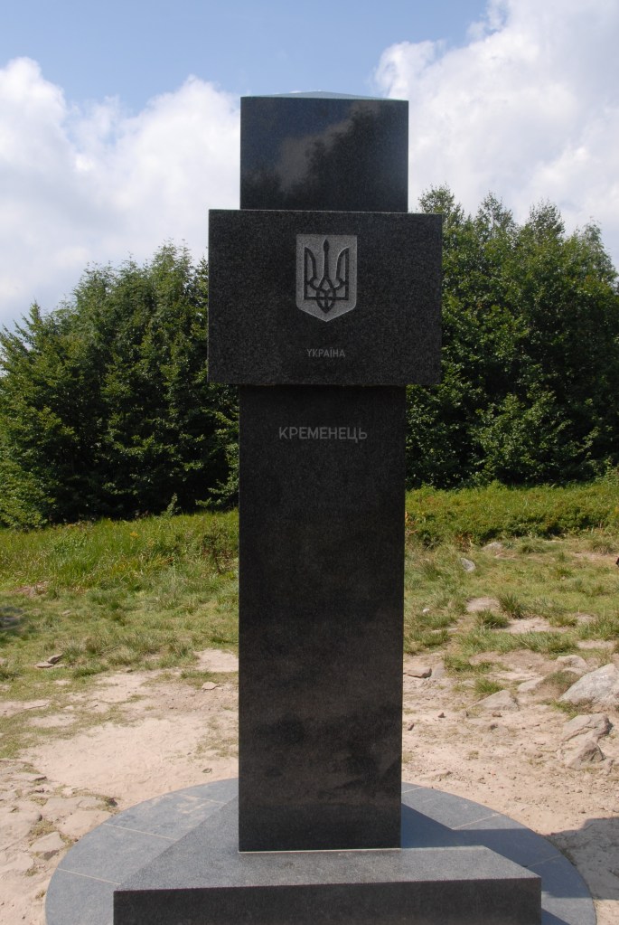
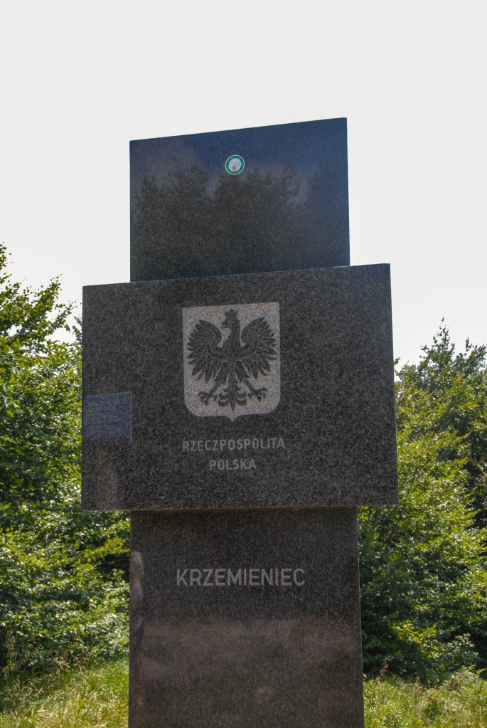
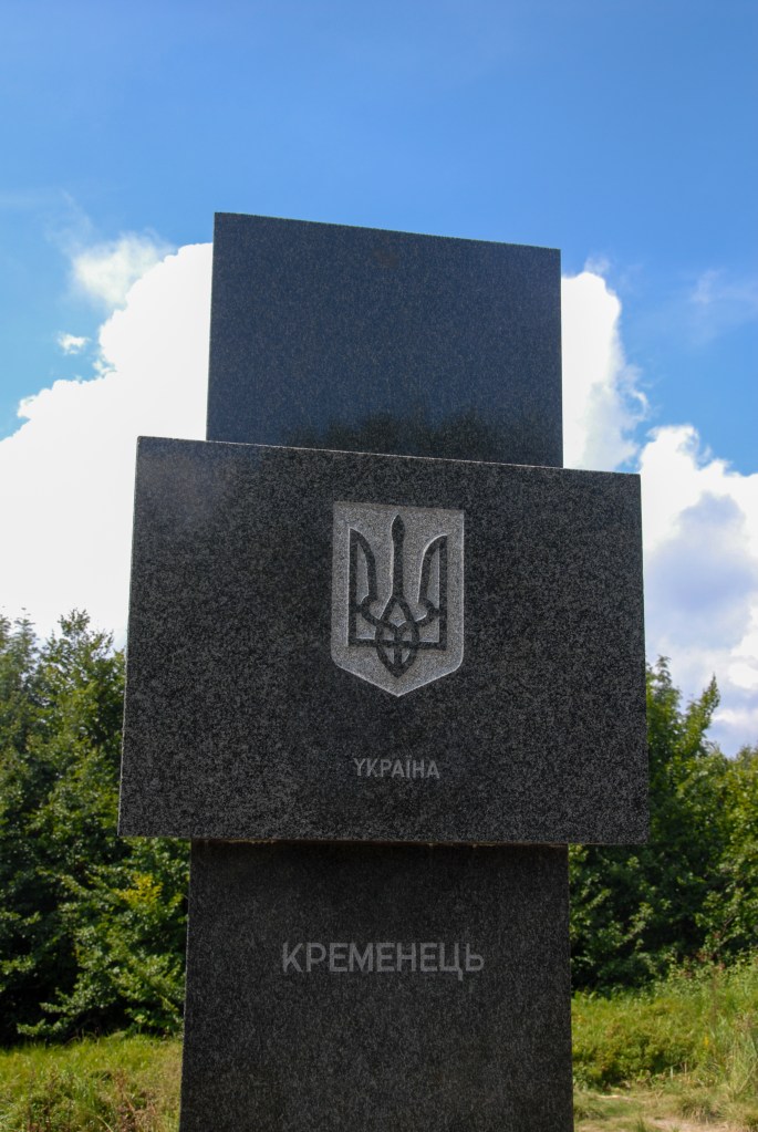
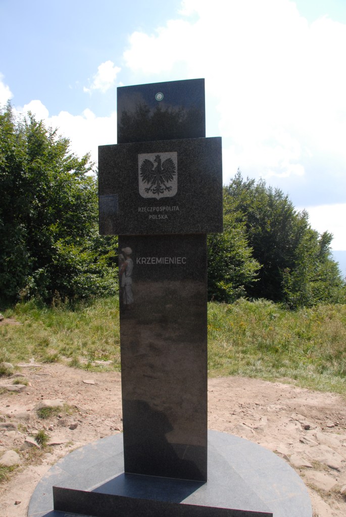
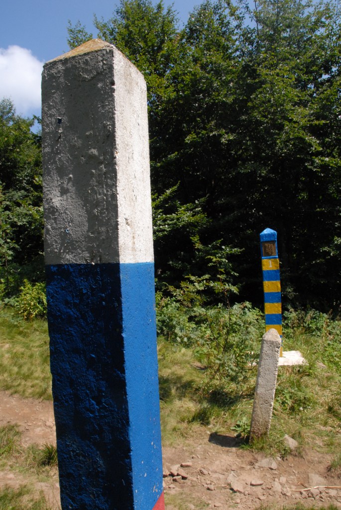
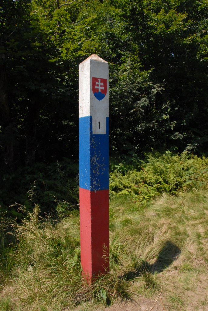
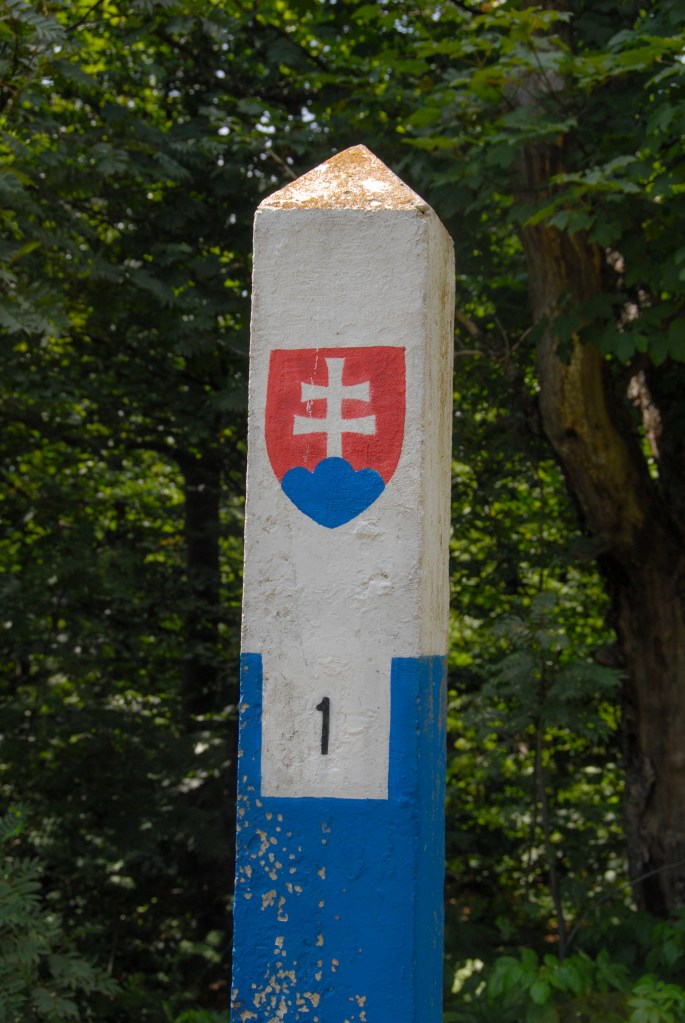
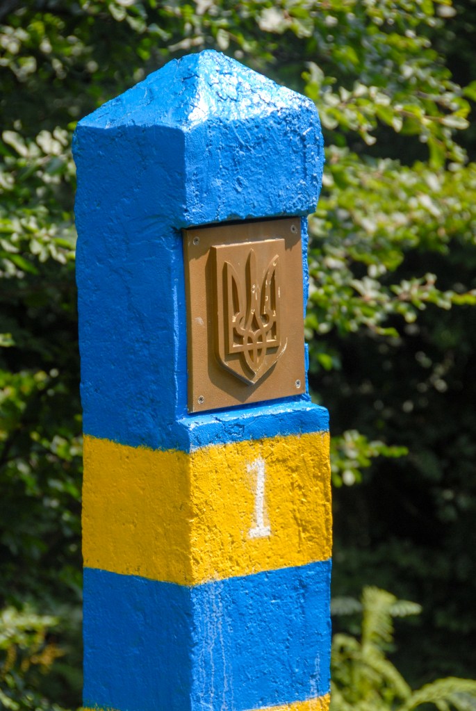
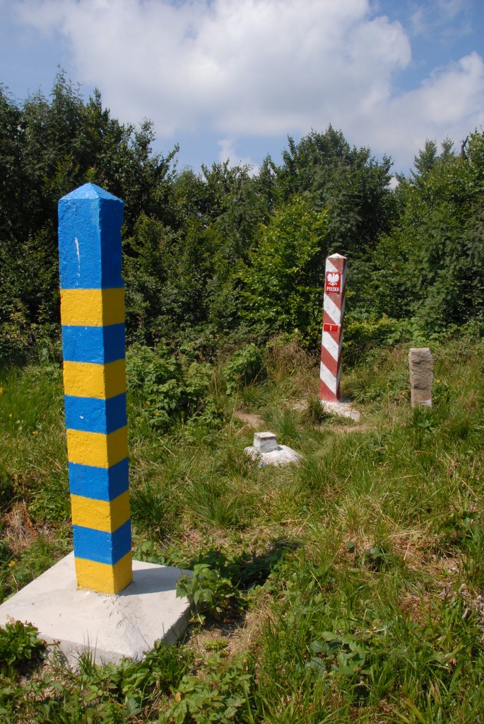
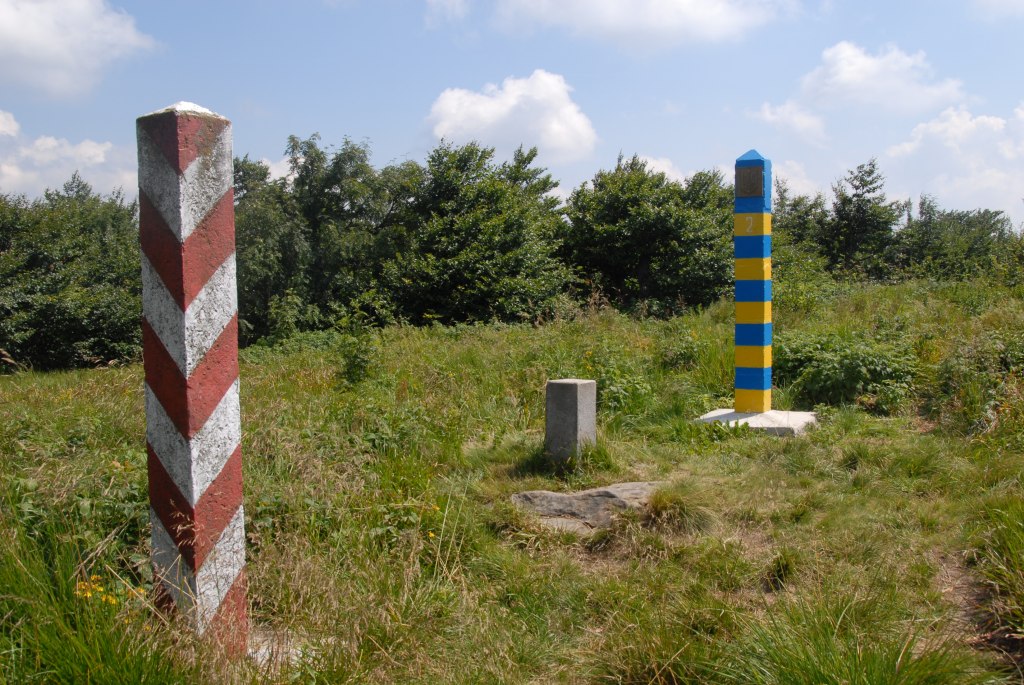
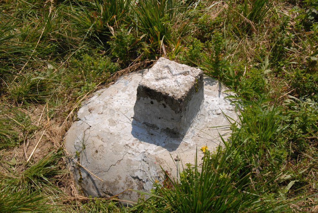
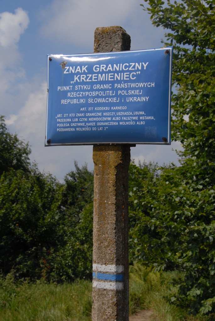
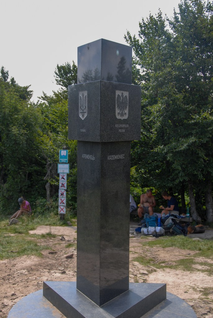
Poland- Slovakia-Ukraine tripoint at Kremenec/Krzemieniec/Кременець (1221 m), in the Bukovec Mountains, north-east Slovakia. There are a few hiking trails from Nova Sedlica, the most eastern settlement in Slovakia and is a popular walk. Locals were picking blueberries close to the tripoint. The tripoint is marked by a marble monument and is also the easternmost point of Slovakia and the highest peak of the border between Slovakia and Ukraine. The monument was made in Slovakia, therefore the inscription Ukraine contains two errors, it was transported to the tripoint by a helicopter of the Slovak air force.
Krzemieniec also connects three protected territories: the Bieszczady National Park, the Slovak National Park “Połoniny” and the Ukrainian Użański National Park, which together form the International Biosphere Reserve “Eastern Carpathians”. It is the most eastern point of Slovakia and the external border of the EU and NATO. More border extremities can be found on my Oddities and Extremities page.
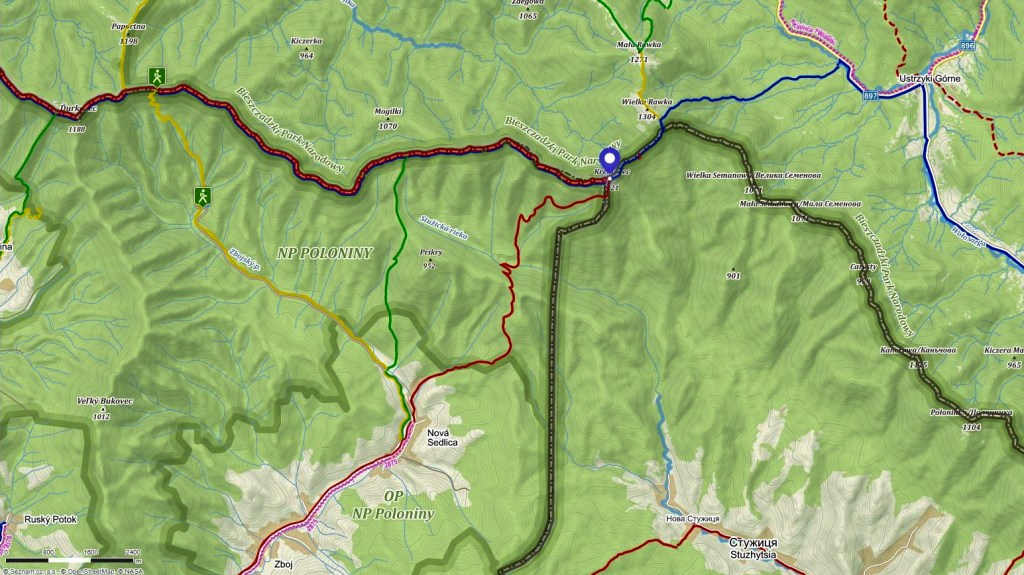
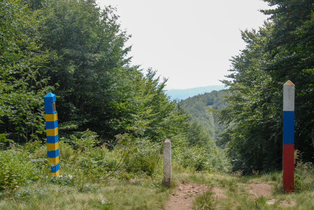

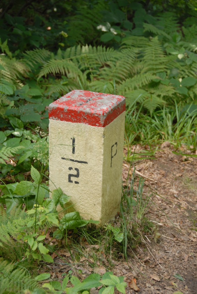
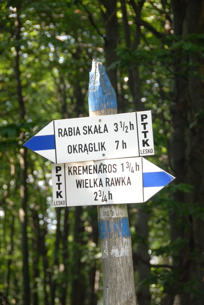
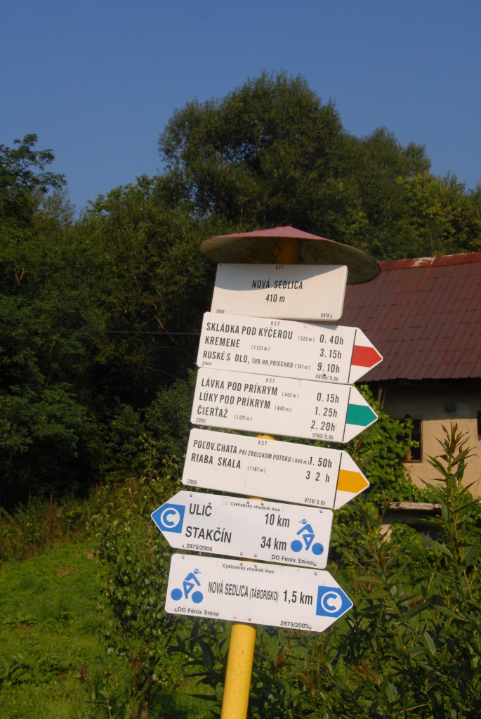

Date of Visit 02/08/2008 Well marked trails throughout within the Polish and Slovakian national parks. I did not see any corresponding trails to Ukraine.
