
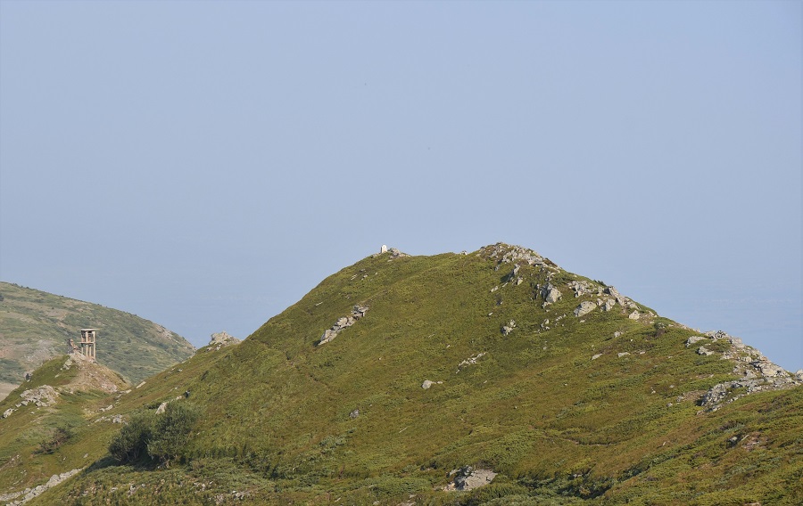
This was the second of 3 Bulgarian tripoints that I visited in July 2022. None of the Bulgarian tripoints had either been visited at all, or not for many years by the border enthusiasts I knew. The tripoint on Mount Tumba (1880m) between Bulgaria, Greece and North Macedonia is remote, but is a trekking peak and therefore there were marked trails which made route finding easier. It is one of the south-westernmost points of Bulgaria and one of the south-easternmost points of North Macedonia. Every August since 2001, an international excursion to the peak is organized under the motto “Balkans Without Borders”.
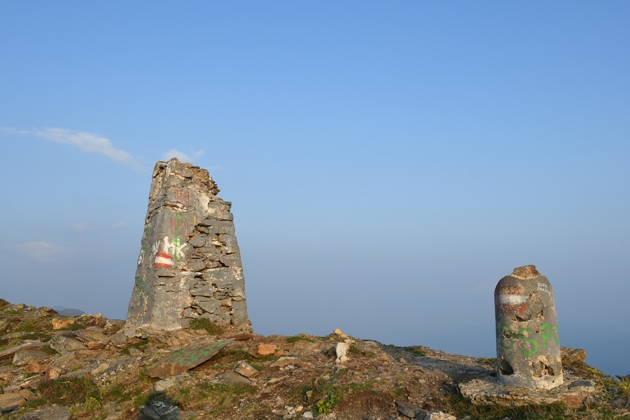
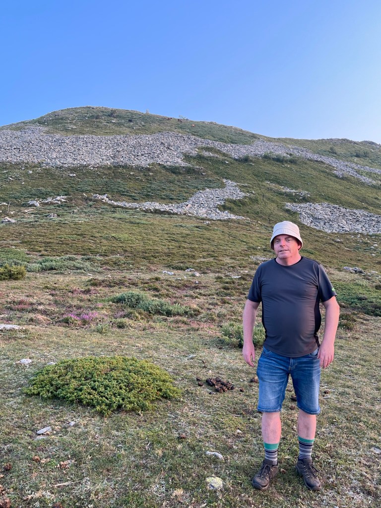
That said, it was a tough day, with a lot of distance covered in hot weather. Most hikers begin in the Bulgarian town of Zlatarevo and walk (approx 19 km) via a series of waterfalls onto the border ridge and then on to the tripoint (and then back again). The ascent is unrelenting with no flat sections rising from 200m to 1880m. This tripoint is unusual in terms of the border configuration of the Bulgarian – Greece border and the Bulgarian -North Macedonia border which form a salient or narrow corridor of Bulgarian territory that terminates at the tripoint. The borders are well demarcated and the summit monument impressive. Great views too from the summit. Got back to the car in the dark which was not planned!
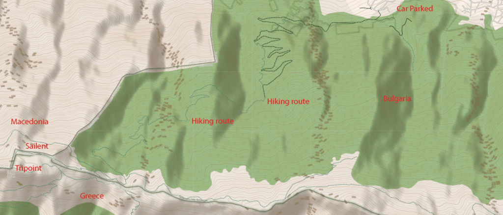
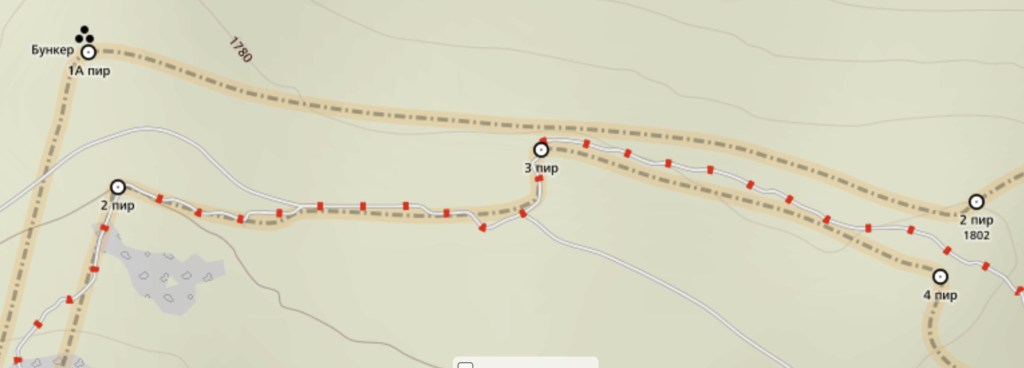
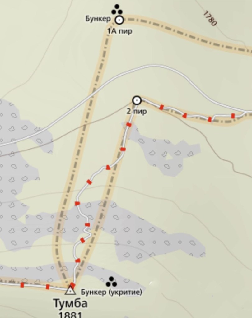
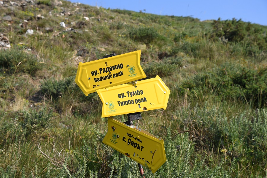
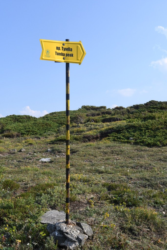
The route
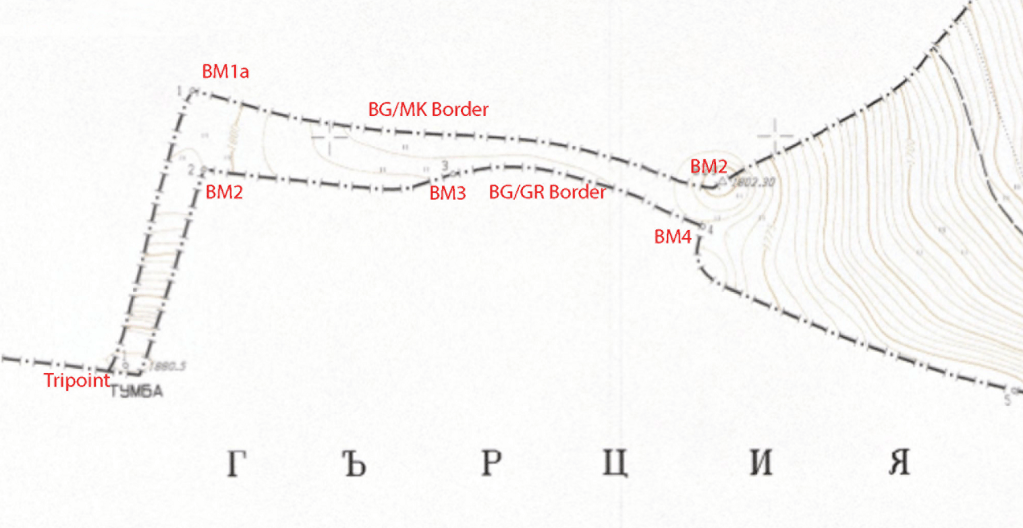
The Tripoint & Salient
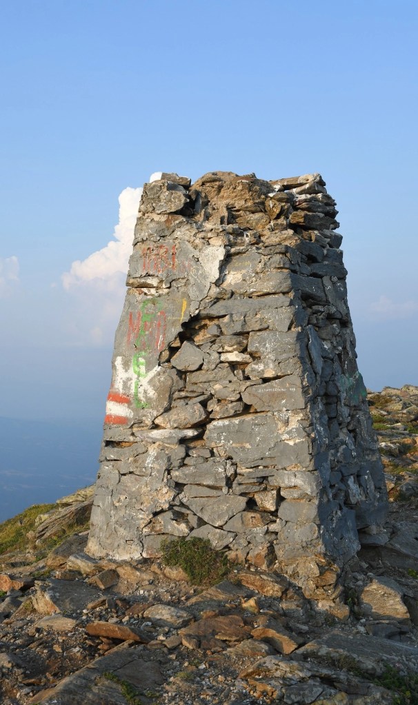
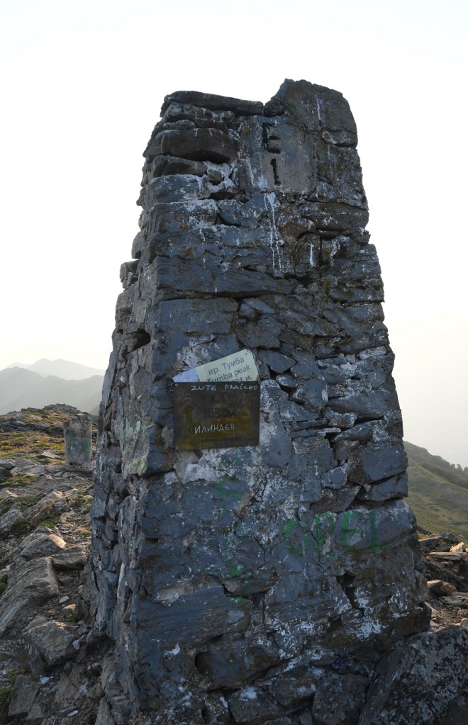
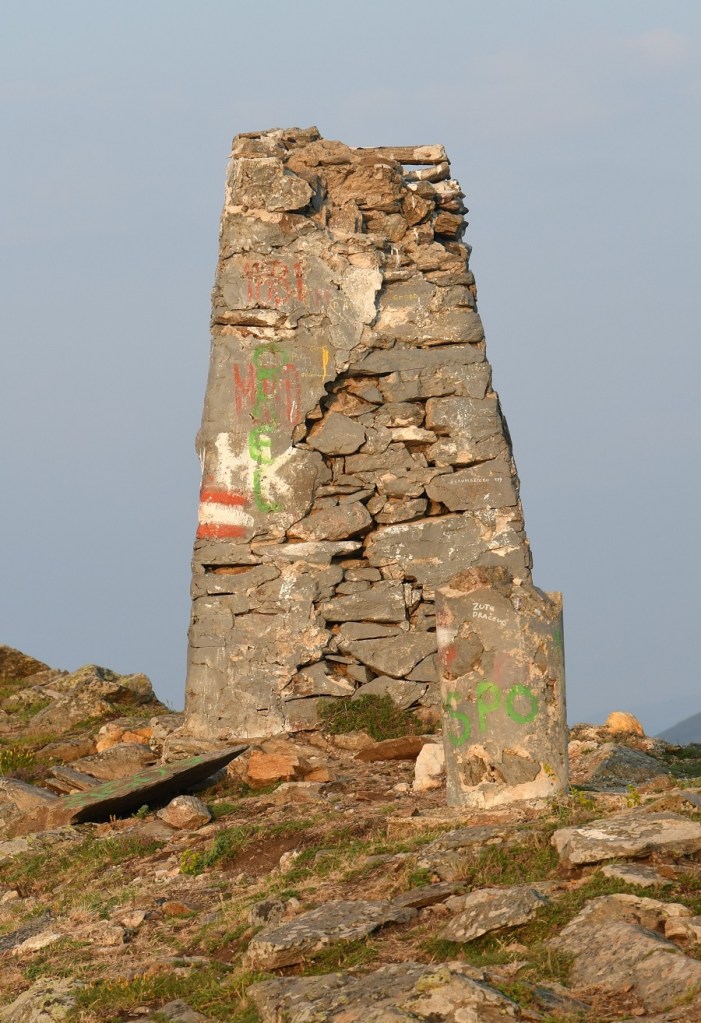
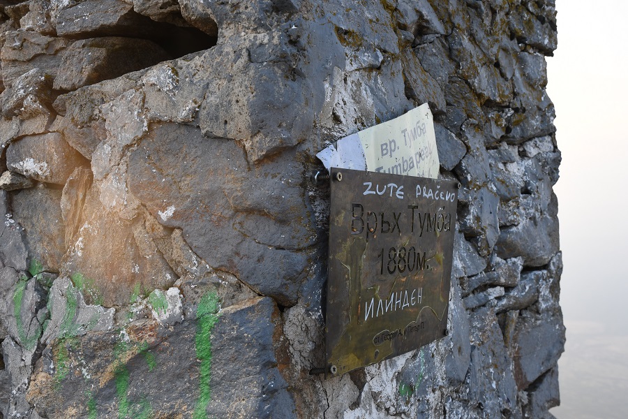
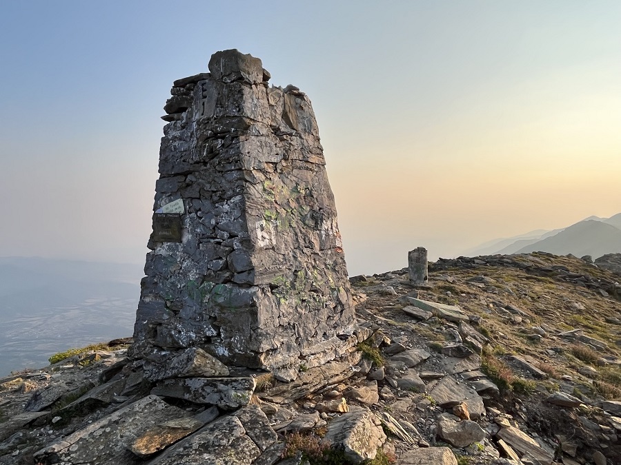
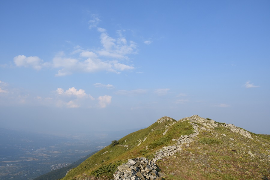
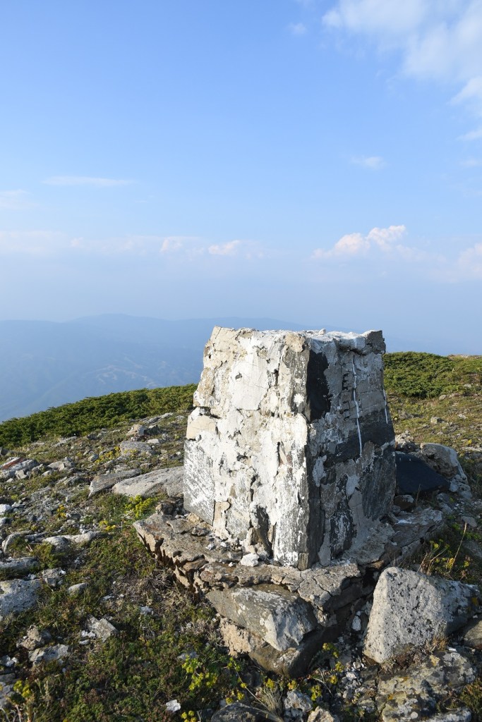
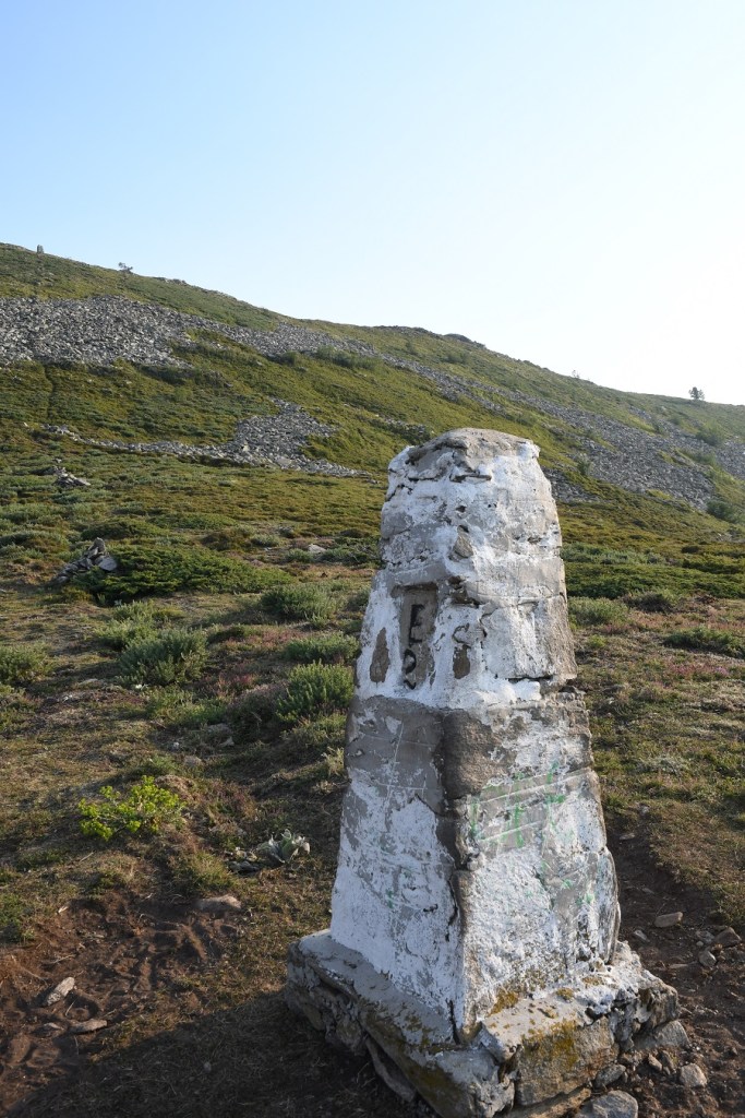
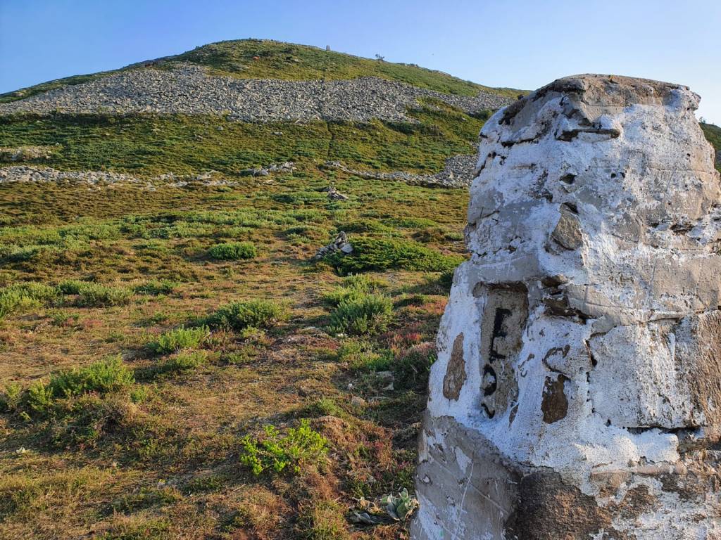
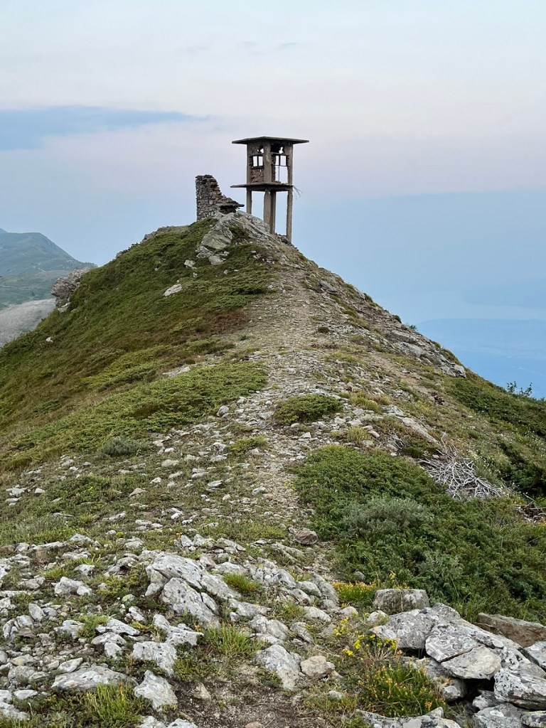
The tripoint is on the top of Mount Tumba (1880m). The monument in old photos is painted white but on my visit stone blocks were visible with some disintegration around the top. The monument is BM #1 and both the Bulgaria – Northern Macedonia border and the Bulgaria – Greece border lead to the top. They do so in a strange way, as a salient or corridor that initially moves east – west and then sharply turns roughly south to the Peak. The reason for this is not clear but the most logical explanation is that Bulgaria unilaterally demarcated the tripoint on the summit of Mount Tumba, and the borders were subsequently configured to meet there. There is nothing in the treaties that explain anything in sufficient detail.
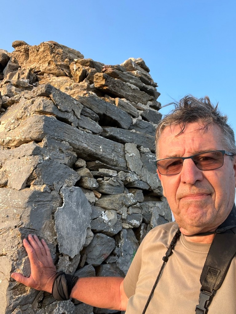
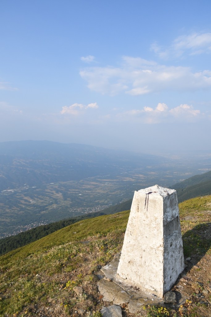
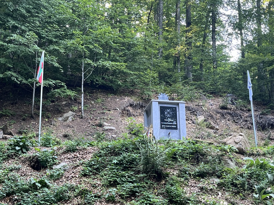
The Tripoint Monument on Mount Tumba
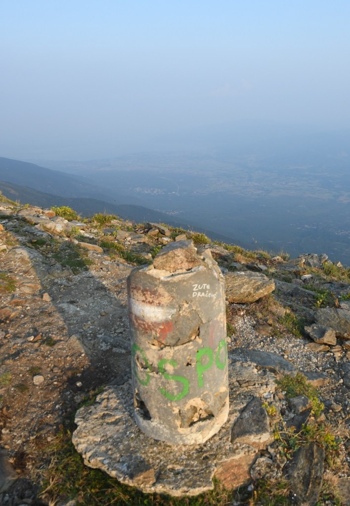
Other border markers
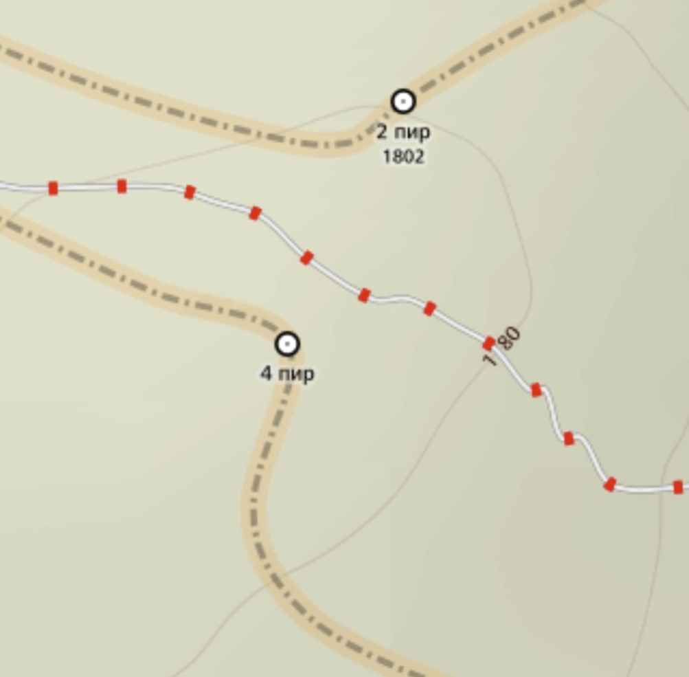
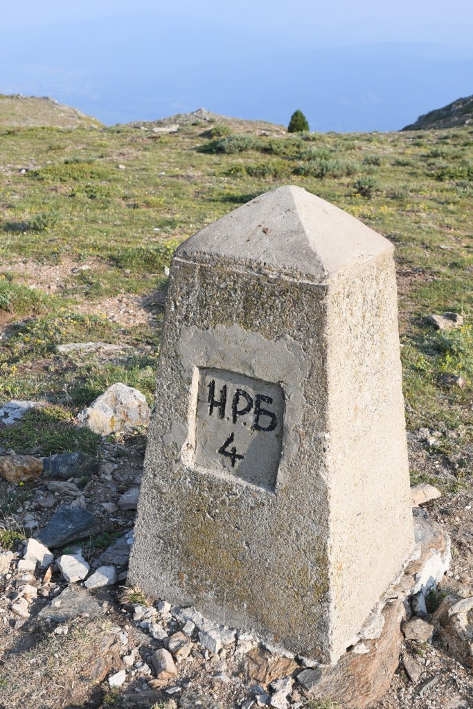
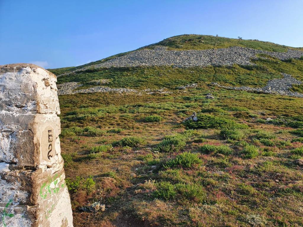
The beginning of the salient – a border marker on each side.
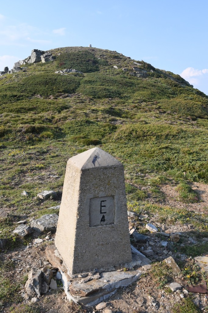
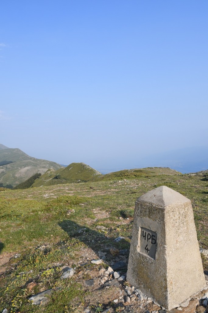
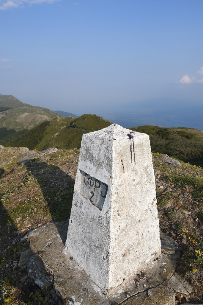
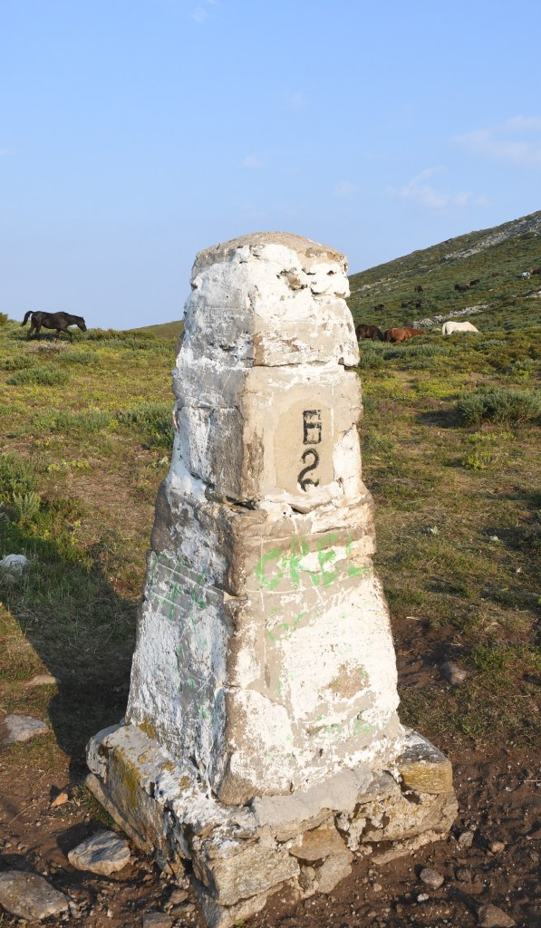
BG/GR BM #4 and BG/MK BM #2
If you were drawing a border perhaps the easiest way would be to not include a salient at all and have a straight line between BG/MK BM#2 and BG/GR #4. As this did not happen this is the only place where there are 2 border markers opposite one another – with a strip of Bulgaria in the middle. Note however the steep slope between the 2.
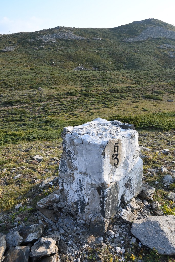
Border marker BG/GR BM #3.
On the southern edge of the salient there is a sole border marker with no corresponding one on the other side.
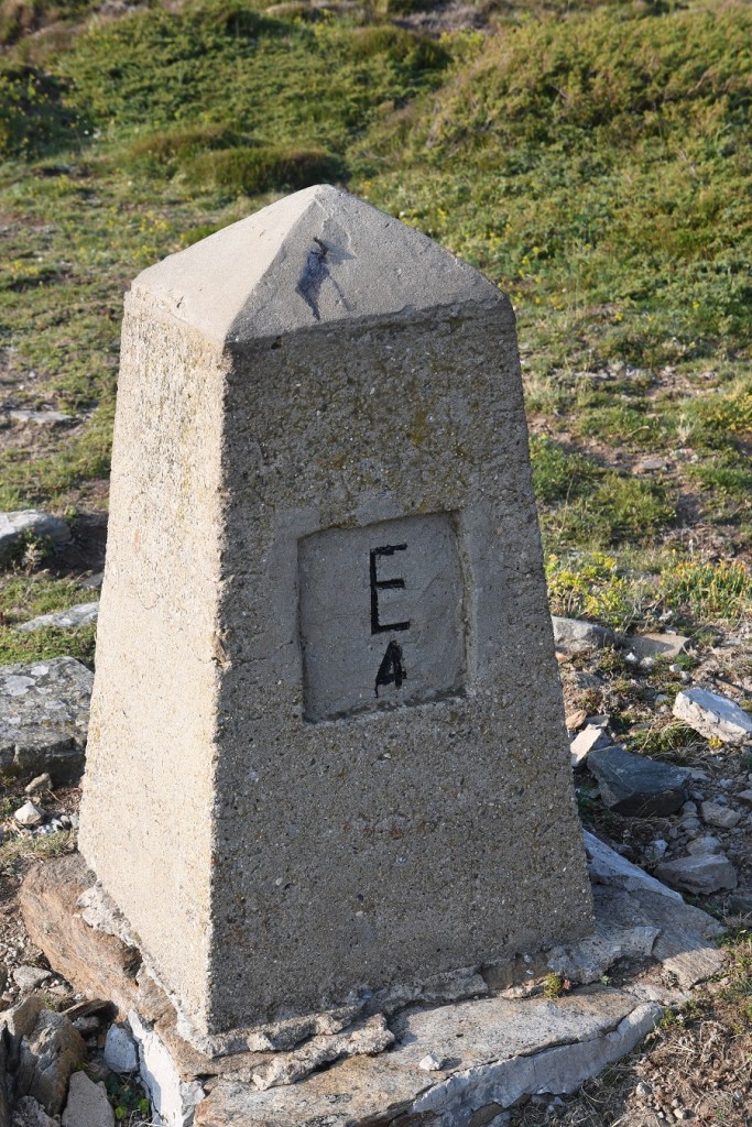
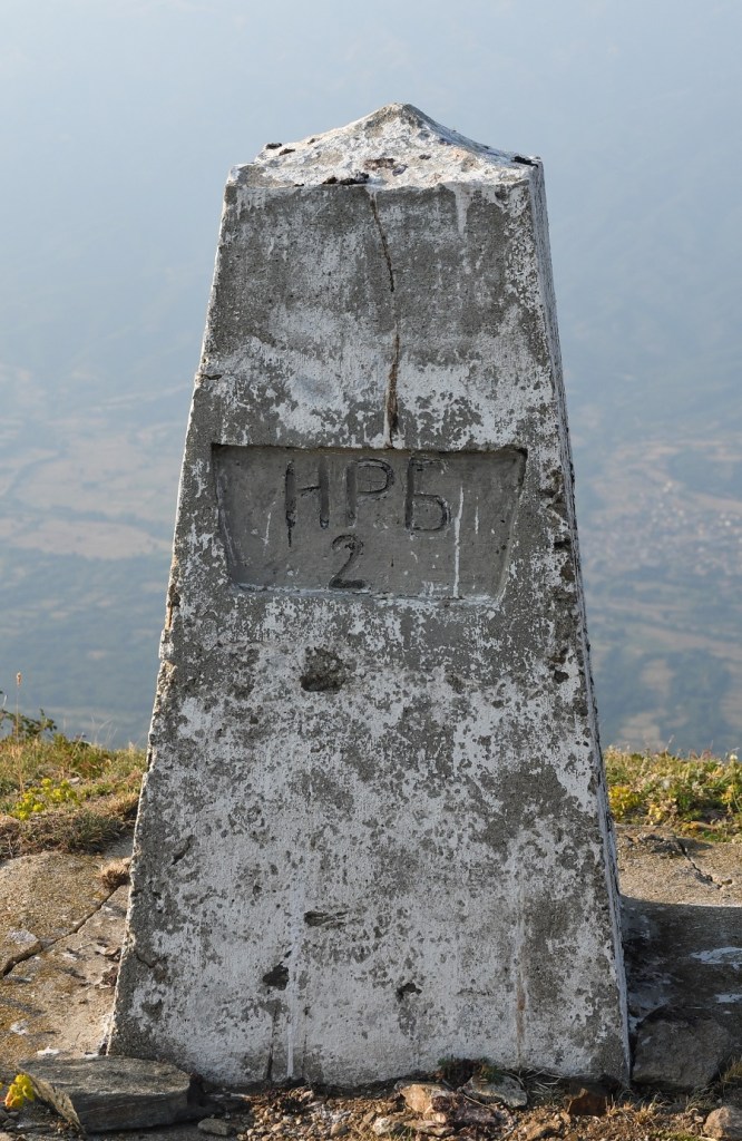
Border marker BG/MK #2
As noted earlier this was a tough day with the distance, ascent and heat on a hot July day. Trying to make sense of the salient on the ground was not easy particularly when tired.
It was only when I returned to the UK that I realised that I had missed the border marker BG/MK #1a which was approximately 250m north west of border marker BG/GR #2 which was for us the stepping off point to the tripoint. To be honest it’s frustrating and a lesson learned, would I go back to see it – never say never.
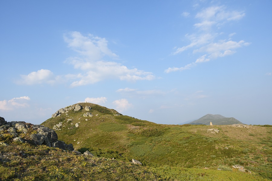
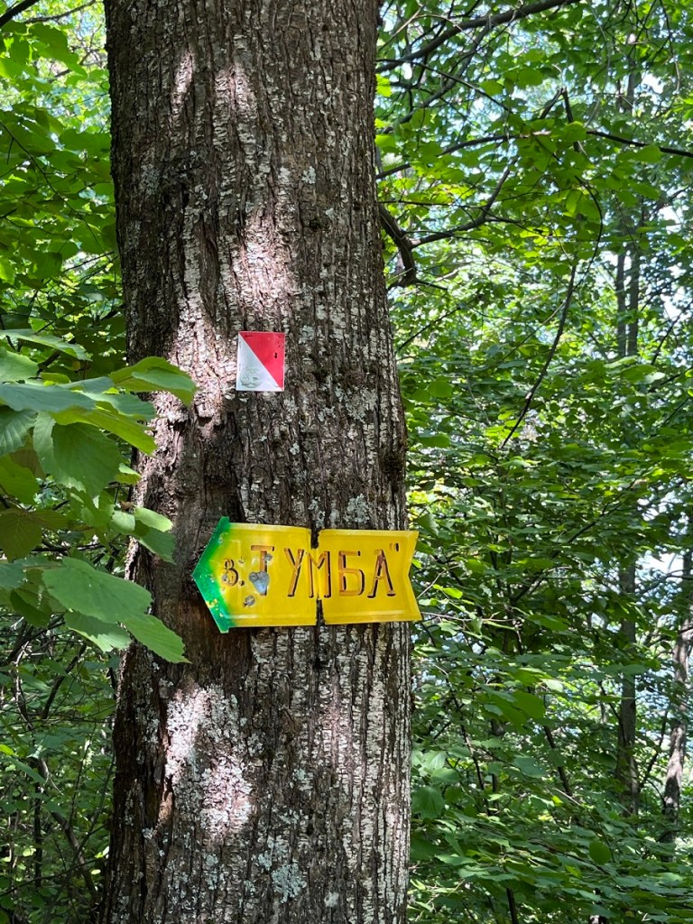
The route up
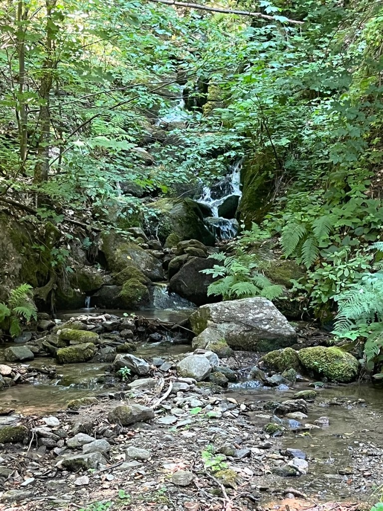
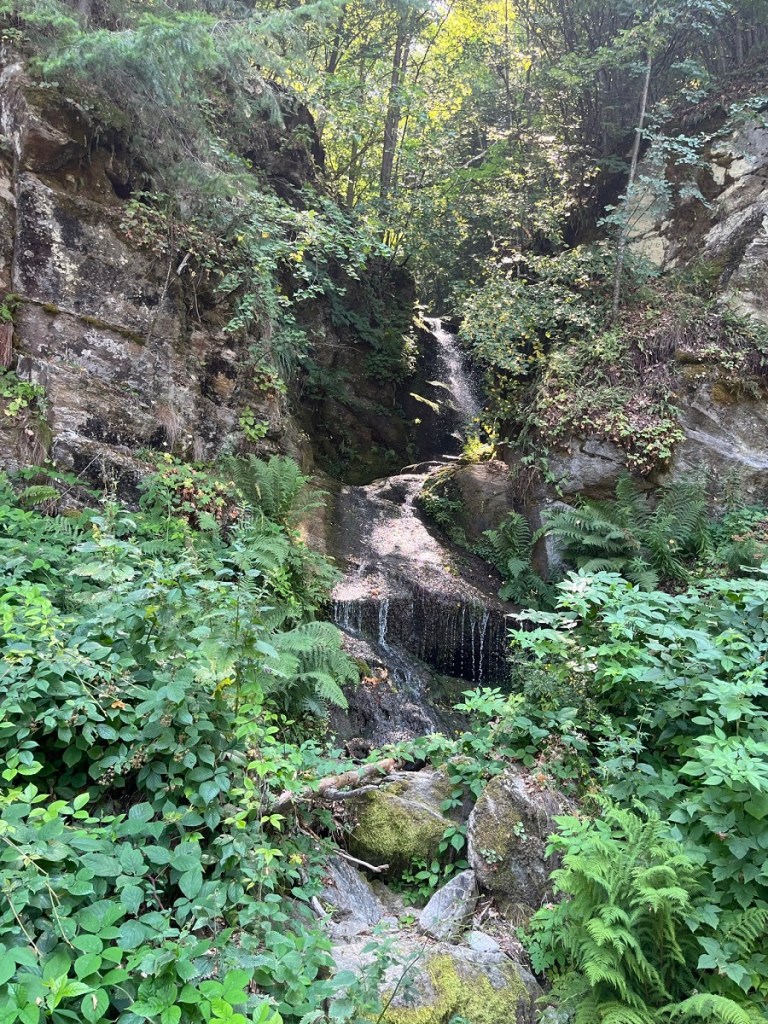
After parking the car the trail took us past waterfalls, through woodland and up onto the ridge with its ruined border watch tower and border markers.


Date of Visit: 27 July 2022
