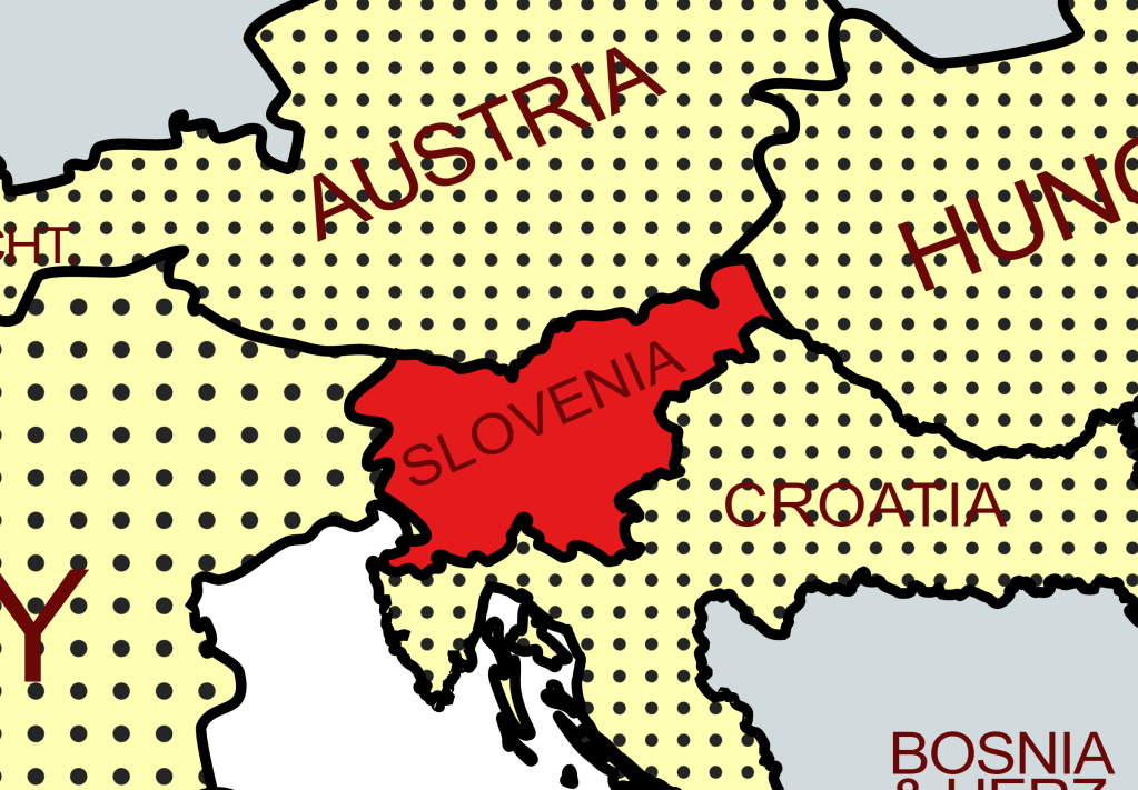
Slovenia (Slovene: Slovenija), officially the Republic of Slovenia (Slovene: Republika Slovenija), is a country in Central Europe. It is bordered by Italy to the west, Austria to the north, Hungary to the northeast, Croatia to the southeast, and the Adriatic Sea to the southwest. Slovenia is mostly mountainous and forested, covers 20,271 square kilometres, and has a population of 2.1 million. Slovenes constitute over 80% of the country’s population. Slovene, a South Slavic language, is the official language.
Slovenia has belonged to many different states and empires: the Roman Empire, the Byzantine Empire, the Carolingian Empire, the Holy Roman Empire, the Kingdom of Hungary, the Republic of Venice, the Illyrian Provinces of Napoleon’s First French Empire, the Austrian Empire, and the Austro-Hungarian Empire. In October 1918, the Slovenes co-founded the State of Slovenes, Croats, and Serbs. In December 1918, they merged with the Kingdom of Serbia into the Kingdom of Yugoslavia. During World War II, Germany, Italy, and Hungary occupied and annexed Slovenia, with a tiny area transferred to the Independent State of Croatia, a newly declared Nazi puppet state. In 1945, it again became part of Yugoslavia. Post-war, Yugoslavia was allied with the Eastern Bloc, but after the Tito–Stalin split of 1948, it never subscribed to the Warsaw Pact, and in 1961 it became one of the founders of the Non-Aligned Movement.
In the late eighties there was a push for independence from Yugoslavia, in 1989 large scale constitutional amendments were made and in 1990 the vast majority of the electorate voted for independence. Although Yugoslavia attempted to prevent Slovenia’s succession through the 10 day war, in June 1991, Slovenia declared independence from Yugoslavia and became an independent sovereign state.
Slovenia is a developed country, with a high-income economy ranking highly in the Human Development Index. Its income inequality is among the lowest in the world. It is a member of the United Nations, the European Union, the Eurozone, the Schengen Area, the OSCE, the OECD, the Council of Europe, and NATO.
Border Facts
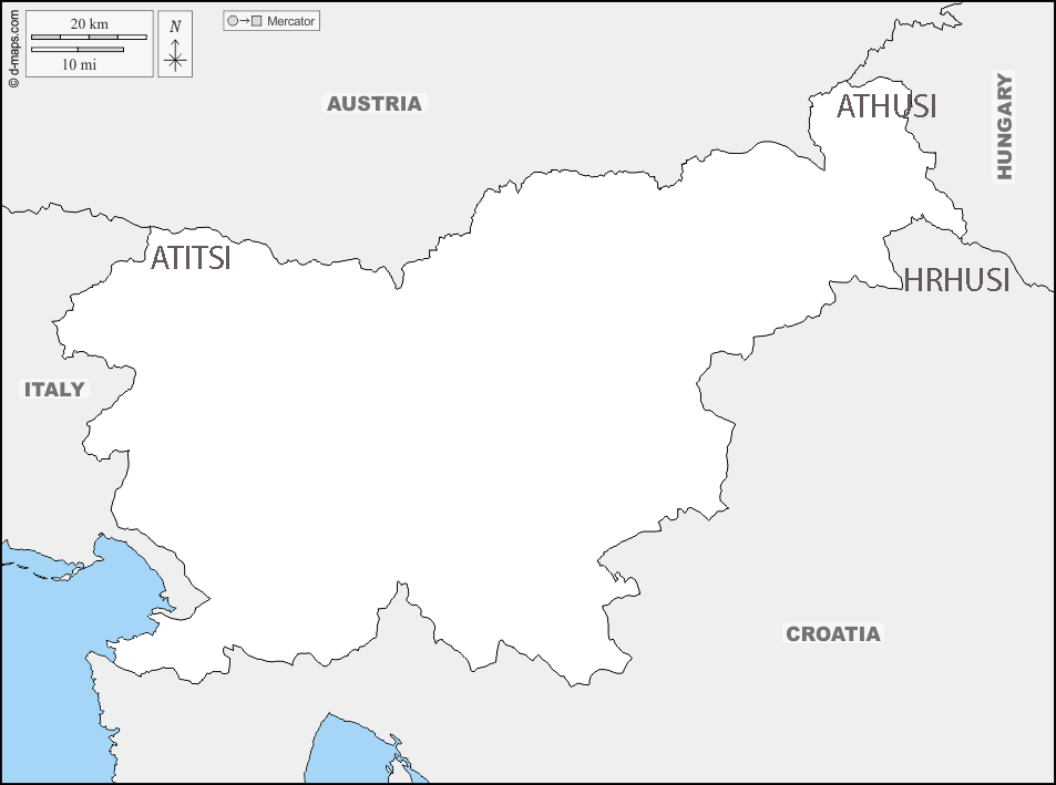
Slovenia – Italy border – is 232 km long, the Italian-Slovenian border begins in the north at the ATITSI tripoint formed by the Austro-Italian and Austro-Slovenian borders. It then turns southwards and ends to the south of Trieste, in a village near the Adriatic Sea. The Bay of Muggia, where the border ends, belongs entirely to Italy. The proximity to the sea has also led to a meticulous division of the waters between the two countries.
Established in 1947 with the 1954 the border was initially subject to several modifications ending with the incorporation of Trieste, an area confiscated after WW2. In 1991, Slovenia gained its independence from Yugoslavia, the demarcation remains unchanged. Slovenia is in the Schengen Area, which means that, in general, there are no checks at the border crossings with Italy. Due to the presence of minorities on either side of the border, the Slovenian and Italian languages each have co-official status in the neighbouring country
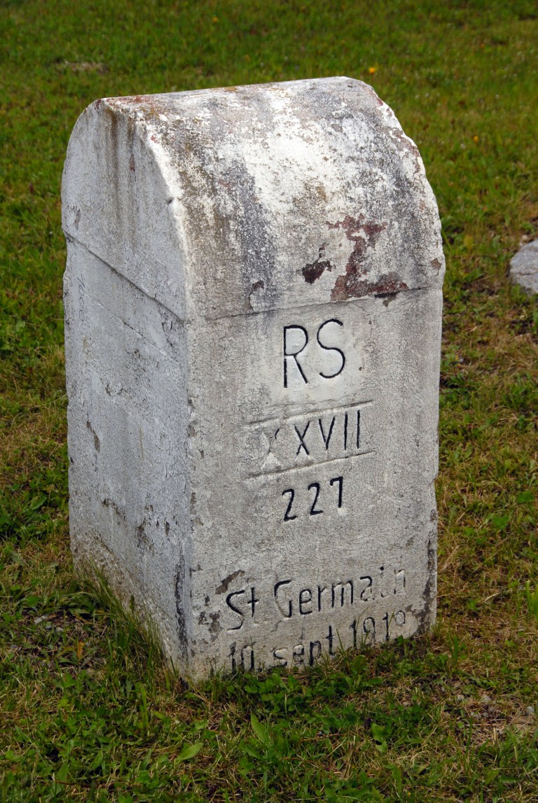
Slovenia – Austria’s border is 330 km long and separates the countries from east to west, lying mostly in the Alps. It begins at the tripoint formed by the Austrian, Slovenian and Italian borders (ATITSI) at the summit of the Pec mountain at 1509 metres above sea level. In the east, the border comes to an end with the tripoint marking the crossing of the Austrian, Hungarian and Slovenian borders (ATHUSI). This border came into existence in 1919 with the Treaty of Saint-Germain-en-Laye. Before this, the Slovenian territory was part of the Austro-Hungarian Empire and there was therefore no border. The end of the First World War confirms the inclusion of Slovenian territories in the first Yugoslavia, thus creating the border. The cross-border region of Carinthia is consequently split in two, one portion being attached to Austria and the other to Slovenia.
From 1938 to 1945, following the annexation of Austria by Germany, this demarcation became the border between Germany and Yugoslavia. At the end of the Second World War, this border became part of the Iron Curtain and was therefore closely monitored. In 1991, Slovenia declared its independence with regard to Yugoslavia. Austria quickly recognised Slovenian independence and the Austro-Slovenian border demarcation was thus definitively established in 1991. In 2004 Slovenia joined the European Union, before joining the Schengen Area in 2007 ending border controls.
Cross border cooperation is well established.
The Slovenia – Hungary border is 101 km long. The border is situated on the western edge of the country, and like the rest of Hungary’s borders, it was determined after the First World War. On the Hungarian side of the border, there are several important towns such as Redics and Csesztreg. Due to their proximity, Slovenia and Hungary have a unique relationship. Demographic estimates indicate there are nearly 3,000 ethnic Slovenes in Hungary while nearly 7,700 ethnic Hungarians make their home in Slovenia.
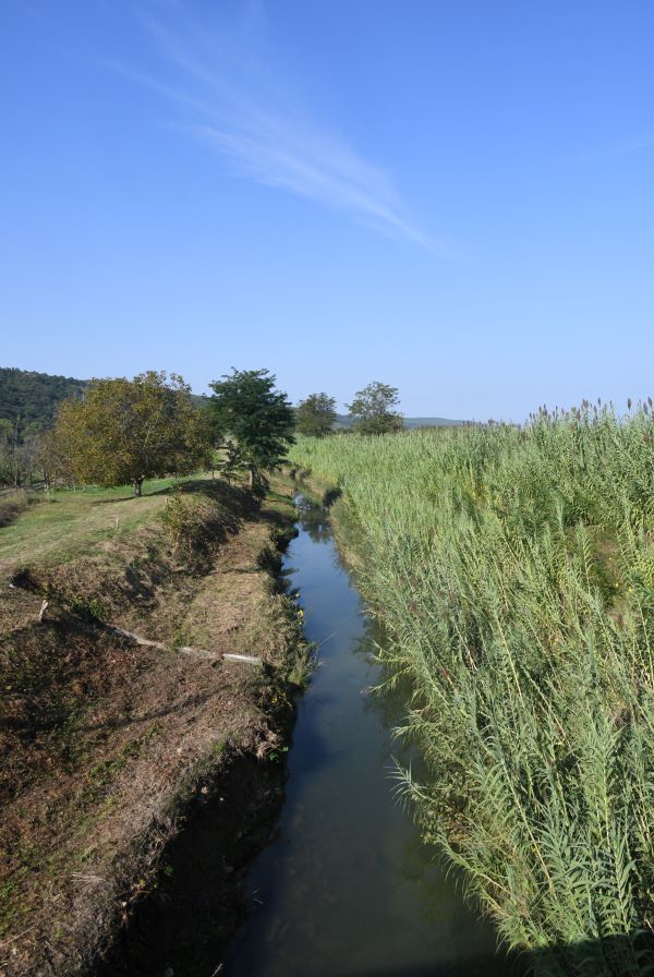
Slovenia – Croatia border is 667.8 km long. Following the breakup of Yugoslavia in 1991, Slovenia and Croatia became independent countries. As the border between the countries had not been determined in detail prior to independence, several parts of the border were disputed, both on land and at the sea. The border runs in the direction from the southwest to the northeast. Most of the border was defined by commissions, matching the northwestern border of the Kingdom of Croatia-Slavonia, and establishing a new section of Croatian border north of the Istrian peninsula according to the ethnic composition of the territory previously belonging to the Kingdom of Italy. There are however several border disputes primarily stemming from a lack of offical demarcation within Yugoslavia and differing interpretations adopted by the 2 countries. Examples include the Gulf of Piran, the Dragonja river (click on images below for more information), the peak of Sveta Gera and the Mura river.
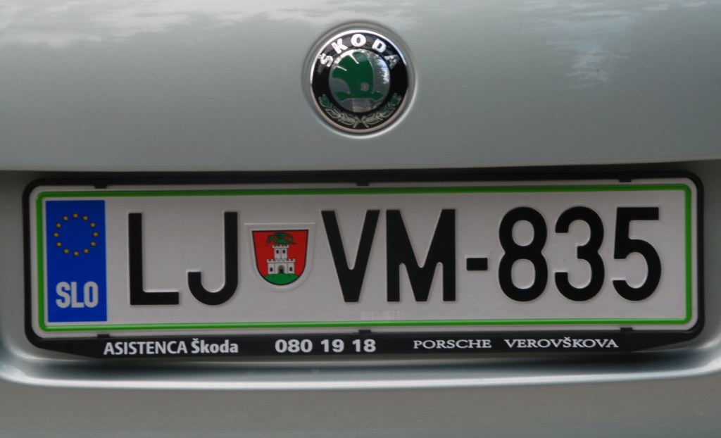
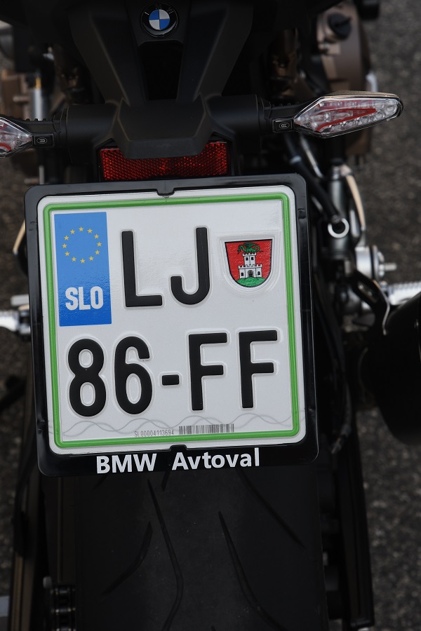
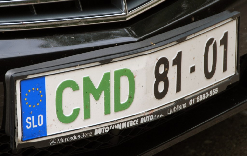
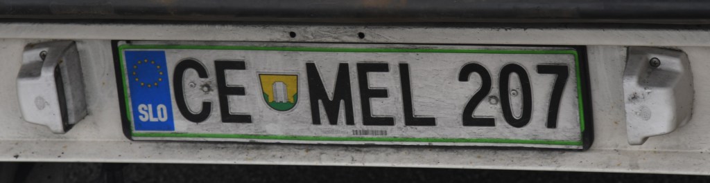
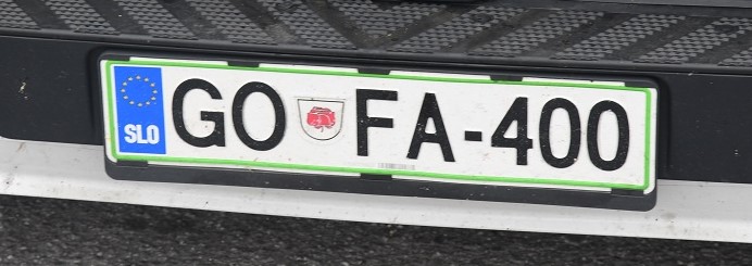
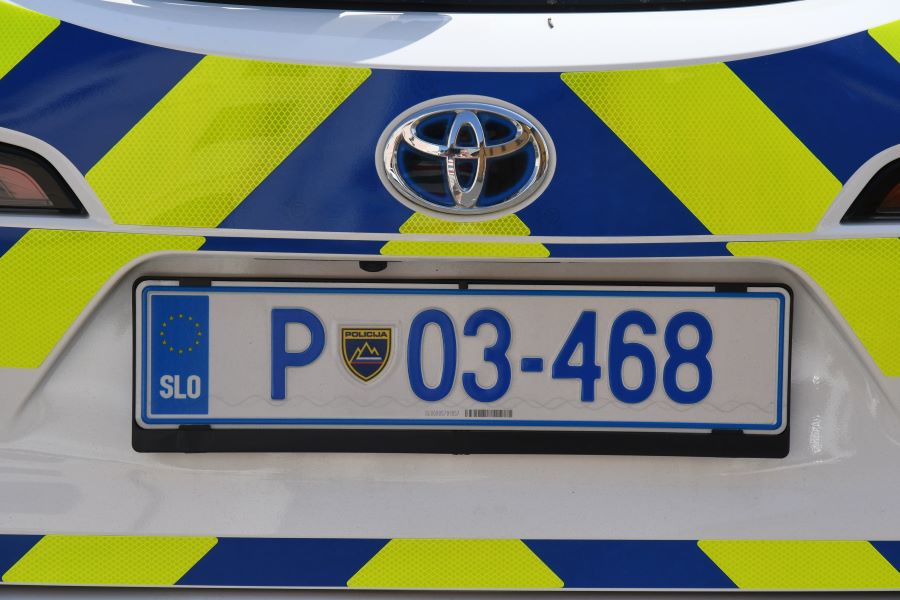
Slovenian Registration Plates
Slovenian Tripoints
| Number | Name | countries | Coordinates | type | Links/Notes |
|---|---|---|---|---|---|
| 1 | ATHUSI | Austria – Hungary – Slovenia | 46°52’9″N 16°06’50″E | Dry | The tripoint is located on small hill near the village of Trdkova. Located on the Raab-Mura watershed divide. A 4 sided tripoint monument was built in 1924. Prior to 1991 this point was on the Iron curtain. Now it is accessible from all 3 countries. It is the westernmost point of Hungary. Van der Giessen (2024) |
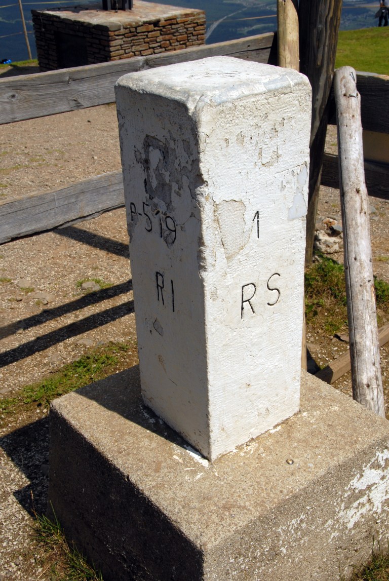
| 2 | ATITSI | Austria – Italy – Slovenia | 46°31’22″N 13°42’41″E | Dry | The tripoint is located at the summit of Peč Mountain (1509 m). Known in Slovenian as Tromeja, in German as Dreiländereck, and in Italian as Monte Forno. The three border area is seen as a symbol of peace and friendship among nations that, in the past, were politically divided. Large border stone as the tripoint monument and many other markers and monuments. Van der Giessen (2024) Wallis (2007) |
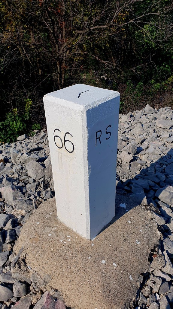
| 3 | HRHUSI | Croatia – Hungary – Slovenia | 46°28’09″N 16°36’37″E | Wet | The tripoint is located near the Krka and Ledava, rivers The is a BM at the tripoint. The HUSI border is demarcated. Easternmost point of SI. Access from Benica (10km). Van der Giessen (2024) |
Historical Tripoint
| Number | Name | Counties | Coordinates | Type | Links/Notes |
| 1 | ITTSYU | Italy – Free State of Trieste -Yugoslavia | 45°48’14.3″N 13°36’14.8″E | Dry |
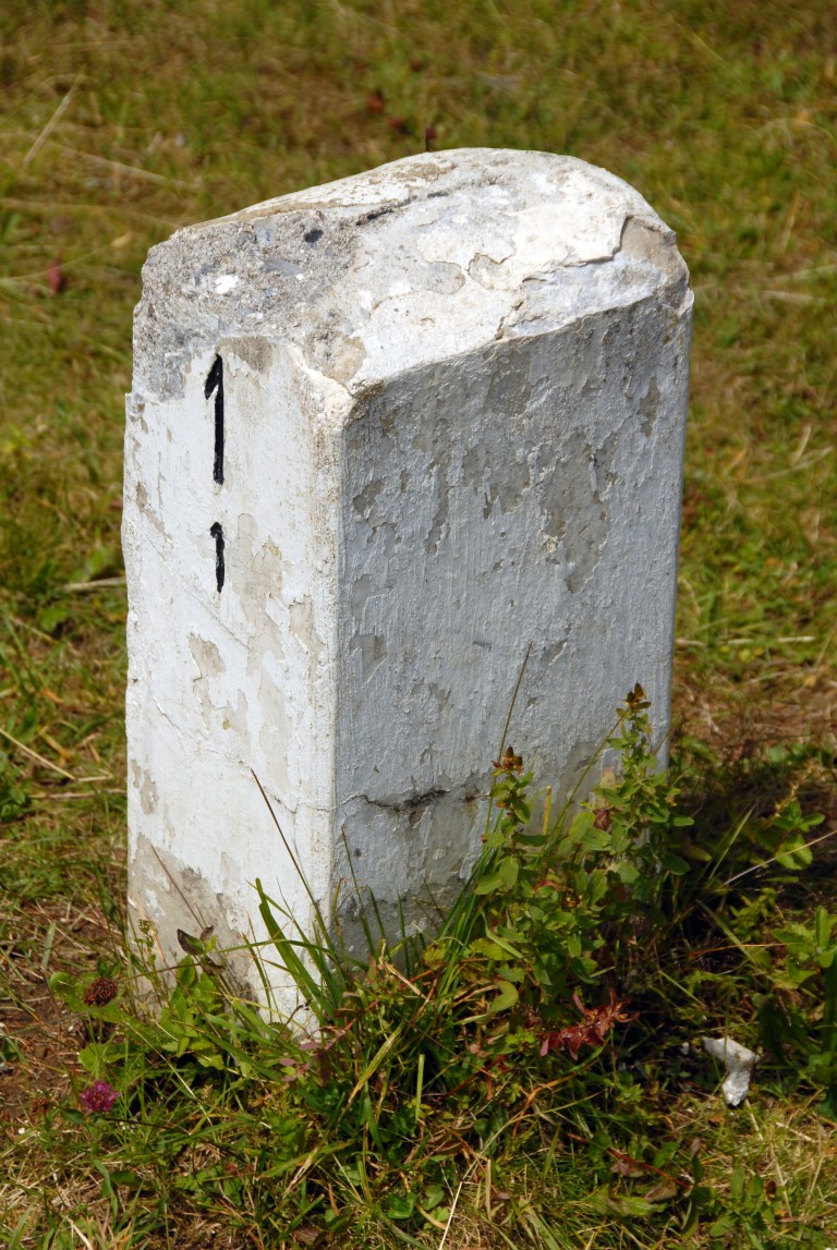
Tripoint Gallery
Please click on the images below to access the tripoint visit reports.

Site Navigation
In order to find your way around the site, either click on the links (text in red) or use the menus at the top and side of the pages. About leads you to the main areas of the site. The European Tripoints menu leads directly you to my visit reports whereas the Country Visits page allows you to choose which country to look at first. Clicking on photos can lead you directly to reports too.

Mobile Users Advice
Tables display correctly when holding your mobile horizontally.
To access the links to other pages please click on the 3 horizontal dots at the bottom of the page.