


Germany (German: Deutschland) is a country in Central and Western Europe, lying between the Baltic and North Seas to the north and the Alps, Lake Constance, and the High Rhine to the south. It borders Denmark to the north, Poland and the Czech Republic to the east, Austria and Switzerland to the south, France to the southwest, and Luxembourg, Belgium, and the Netherlands to the west. Germany is the seventh-largest European country and has varied topography, from the mountains in the south to the coastal areas in the north. Located at the centre of the continent it provides huge opportunities for border enthusiasts to visit many border sites and tripoints.
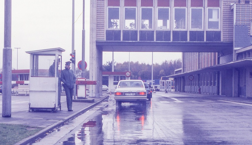
In addition to the external borders with 9 counties there is also the Inner German border to explore in addition to the Berlin Wall sites. The Inner German Border was the border between the German Democratic Republic (GDR, East Germany) and the Federal Republic of Germany (FRG, West Germany) from 1949 to 1990. The better-known Berlin Wall was a physically separate, less elaborate, and much shorter border barrier surrounding West Berlin, an exclave surrounded by the DDR.
Germany covers an area of 357,386 square kilometers, it is a federal republic consisting of 16 states or lander. It has a highly developed economy., ranked 4th globally by GDP. It enjoys a high standard of living with tuition free higher education, universal health care and other features of advanced liberal democracies. Germany was a founding member of the European Economic Community in 1957 and the European Union in 1993. It is part of the Schengen Area and became a co-founder of the Eurozone in 1999. Germany is also a member of the United Nations, NATO, the G7, the G20, and the OECD.
Border Facts: Germany has the second-highest number of bordering countries in Europe, with its nine bordering countries only being exceeded by Russia. The country has a land border that spans 3713 km in length. The nine countries that Germany shares its land boundary with are Austria, the Netherlands, the Czech Republic, France, Luxembourg, Denmark, Poland, Switzerland, and Belgium.
Germany – Denmark Border is 68 km long. The border with Denmark has moved over time. The current border being established in 1920. The border marks the separation between the regions of Schleswig-Holstein in Germany and Jutland in Denmark. It begins in the west, to the south of Tønder, and ends in the east, to the north of Flensburg.

The demarcation of the border between Germany and Denmark followed the signing in 1864 of the Gastein Convention, bringing to a close the Danish-German war after which Denmark ceded some of its territories to the members of the German Confederation. Following the end of WW1 the border was moved about 50 km southwards to it’s present position, as determined by the Schleswig referendum in 1920. This approximately followed the not clearly defined language border.
In 2001, all border controls were removed based on the Schengen Agreement. However, due to the migrant crisis in 2016 temporary border controls were reestablished, these are still in place in 2019. Controls between Sweden have also been reintroduced as a response to illegal migration.
In January 2019, the Danish government began constructing a fence along the border in an attempt to keep wild boar, which can carry African swine fever virus, from crossing into Denmark. The 1.5 metres high fence spans the whole border.
Germany – Poland Border
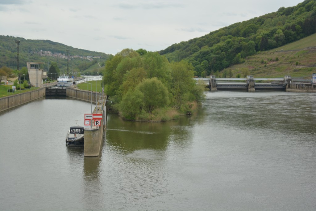
The Germany–Poland border is currently the Oder–Neisse line. It has a total length of 467 km and has been in place since 1945. It stretches from the Baltic Sea in the north to the Czech Republic in the south. The map to the left however shows the evolution of that border over time and it’s movement prior to 1945. After World War II, the border was drawn from Świnoujście (Swinemünde) in the north at the Baltic Sea southward to the Czech Republic (then part of Czechoslovakia) border with Poland and Germany near Zittau. It follows the Oder–Neisse Line of the Oder (Odra) and Neisse (Nysa) rivers through most of their course.
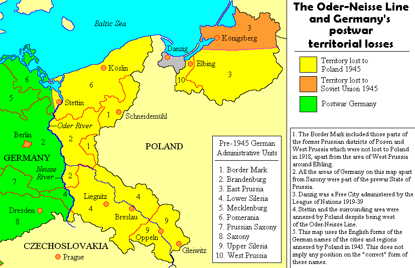
This was agreed upon by the main Allies of World War II – the Soviet Union, the United States, and the United Kingdom, at the Soviets’ insistence, and, without any significant consultations with Poland (or Germany), at the Yalta Conference and Potsdam Conference. This border was a compensation to Poland for territories lost to the Soviet Union as a consequence of the Molotov–Ribbentrop Pact, and resulted in significant westward transfers of German population from the Recovered Territories, matching the Polish population transfers from the Kresy territories. It roughly matched the centuries-old, historical border between the Medieval Polish and German states.[3] It divided several river cities into two parts – Görlitz/Zgorzelec, Guben/Gubin, Frankfurt (Oder)/Słubice, Bad Muskau/Łęknica.
The border was recognized by East Germany in the Treaty of Zgorzelec in 1950, by West Germany in 1970 in the Treaty of Warsaw, and by reunified Germany, in 1990 in the German–Polish Border Treaty of 1990.
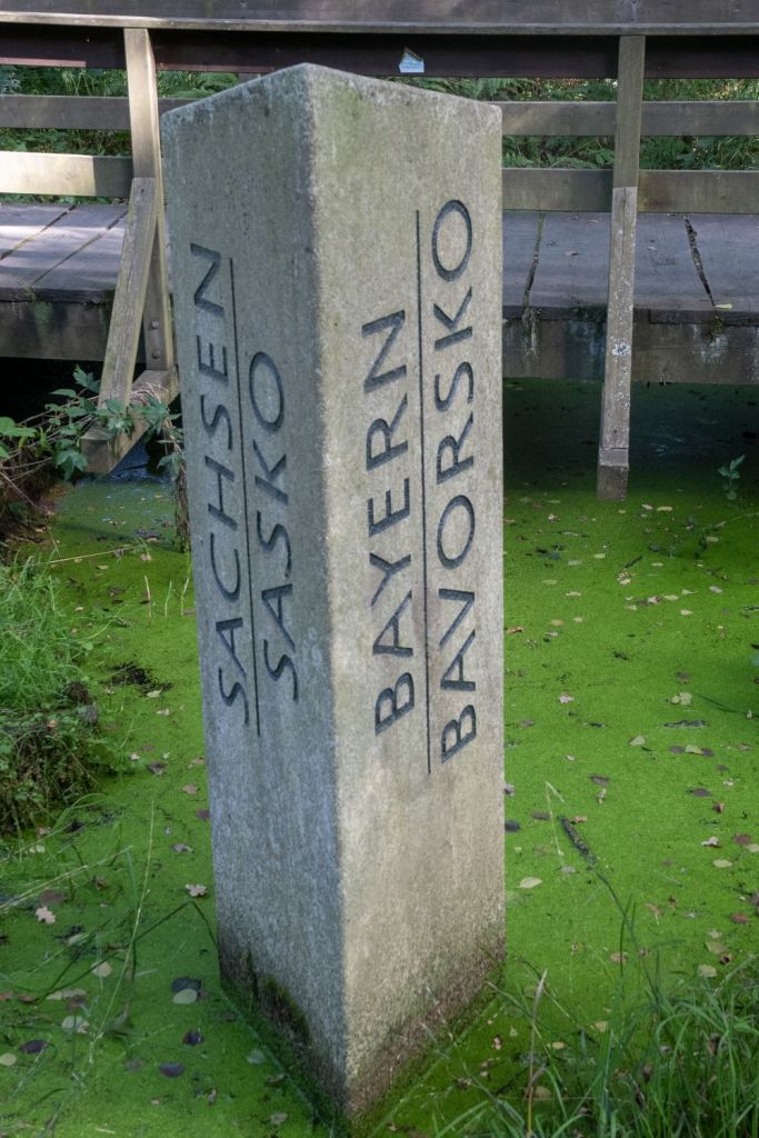
Germany – Czech Republic border is 648km long and begins in the north-east, to the south of the German town of Wittau, with the tripoint formed by its intersection with the German-Polish and Czech-Polish borders, located on the river Neisse. The border runs alongside the ridgeline of the Ore Mountains up to the village of Mittelhammer in Bavaria. Before German reunification, this Bavarian village formed the tripoint between the FRG, GDR and Czechoslovakia. The border then turns to the south-east and passes through the forests of the Upper Palatinate and Bohemia to the tripoint with the German-Austrian and Austro-Czech borders at the edge of the Šumava National Park.
The border traces its origins to a border that separated the Austrian Empire and the German Empire during the earlier periods. During the Cold War, there were two borders in this location – one between Czechoslovakia and Saxony in the German Democratic Republic (GDR) in the north-east, and the other with Bavaria in the Federal Republic of Germany (FRG) in the south-west. The latter formed part of the Iron Curtain and was heavily fortified. This is a historical tripoint as reported here on a German language website and my 2025 visit is here. The current border was established with the dissolution of Czechoslovakia on 31 December 1992 and the independence of the Czech Republic on 1 January 1993. Cross border cooperation is well established.
Germany – Austria Border established in 1871, the border between Germany and Austria is 784 km in length and is therefore both countries longest border. Mainly consisting of Alpine mountain ranges at its centre, the border begins in the north-west at Lake Constance, before moving east up to the ATCZDE tripoint. The founding of the Republic of Austria in 1918 stabilized the border before it disappeared with the annexation of Austria by Germany in 1938. At the end of the Second World War, the border was restored and has experienced no changes since. Cross border cooperation is facilitated by a shared language and focus on sustainable development, environmental and tourism issues.
Germany- Switzerland border is 334 km long. It begins at the CHDEFR tripoint in the west and finishes at the ATCHDE tripoint in the east. The border runs through the lake to the mouth of the river Rhine, it broadly follows the course of the Rhine westwards avoiding a number of Swiss towns such as Schafhausen. A peculiarity of the German-Swiss border is the German enclave of the municipality of Büsingen. In 1815 at the Congress of Vienna, the European powers recognized the neutrality of Switzerland as well as its internal and external borders, largely those of today. Switzerland having maintained its neutrality during World War II, the German-Swiss border did not undergo changes related to the war, which differentiates it from other German borders.
The entry of Switzerland into the Schengen area in 2008 means no controls exist, although in 2019 Germany posed the idea of their reintroduction to curb illegal immigration.
There is a difference in opinion regarding the status of Lake Constance, with the Swiss believing the border is as described above. Austria however believe the lake is neutral and therefore a condominium whereas the Germans have no opinion.
Germany- France Border is 451 km long and was initially established in 1648 (Treaty of Westphalia). The current demarcation stems from 1945. The border starts at the CHDEFR tripoint and ends at the DEFRLU tripoint. A significant portion of the border follows the river Rhine. Two areas have swapped between the countries: Alsace-Lorraine was French up to 1871 but was acquired by the German Empire in the aftermath of the Franco-Prussian War. The 1918 Treaty of Versailles saw the reverting of the sovereignty over Alsace-Lorraine back to France for it to annexed by Germany once more between 1941 and 1945 before it finally returned to France. The Saarland coal mines after World War I, were awarded to France, and Saarland was placed under the administration of the League of Nations for 15 years, it became part of Germany in 1935 following a plebiscite. Following WW2 the area was initially occupied by the French until 1947 when an autonomous area was set up. This was to be made permanent in 1954 following agreement between the 2 countries but was rejected following a plebiscite in 1954 leading to the area joining West Germany in 1957 as a federal state.
Germany -Luxembourg border separates the German states of Saarland and Rhineland-Palatinate from the Grand Duchy of Luxembourg. The demarcation follows watercourses in its entirety: the Moselle in its southern part, the Sauer in the middle, and the Our in the North. The border begins at DEFRLU in the South near Schengen and ends at BEDELU at Ouren.
The boundary treaty of 1984 deals with matters of detail concerning the demarcation of the border. In essence the treaty is based on the 1816 treaty between Luxembourg and Prussia which established joint sovereignty over the rivers. Bridges are jointly owned and maintained.
Germany – Belgium border is about 134 km long, and it separates the province of Liege (Belgium) and Rhineland-Palatinate and North Rhine-Westphalia in Germany. It begins at the Belgium, Germany and Holland BEDENL tripoint at Vaalserberg and stretches to the Belgium-Luxembourg-Germany tripoint BEDELU at Ouren. The current Belgium-Germany border was established in 1956 after Belgium returned some of the German territories such as Aachen-Bildchen, Losheim and Losheimergraben. that it had administered after WW2. Cross border cooperation is well developed. The Germany Belgium border has a particular area of interest with the Vennbahn and the 5 German exclaves.
Germany -Netherlands border is 577 km long, starts in the north on the southern banks of the Ems estuary. It then follows the course of several rivers, including the Rhine before moving into the valley of the Meuse (Maas). It ends at the BEDENL tripoint in Vaalserberg, near Aachen.
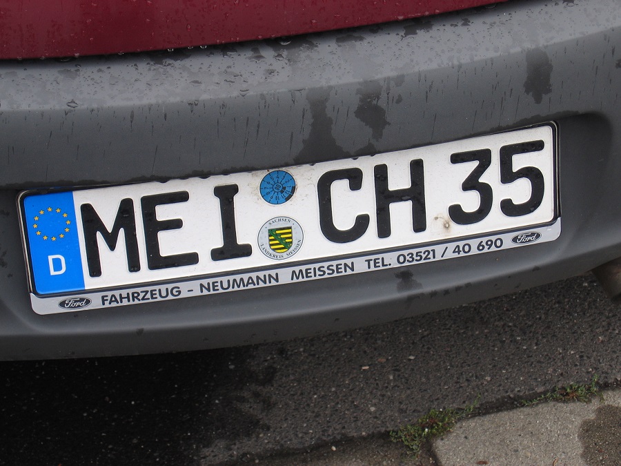
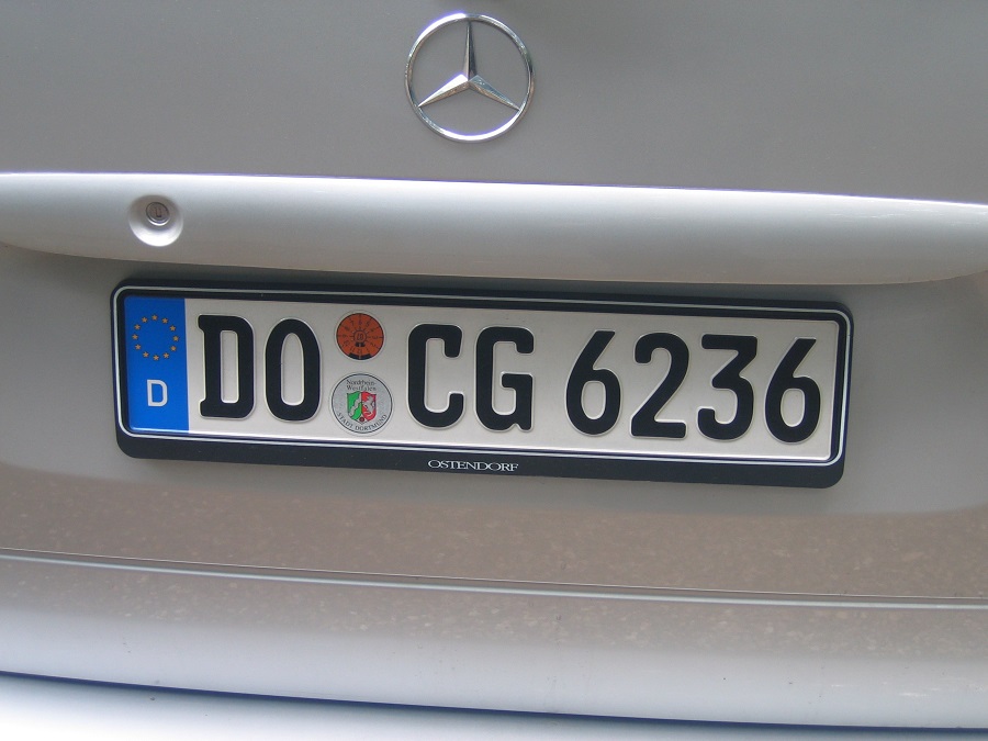
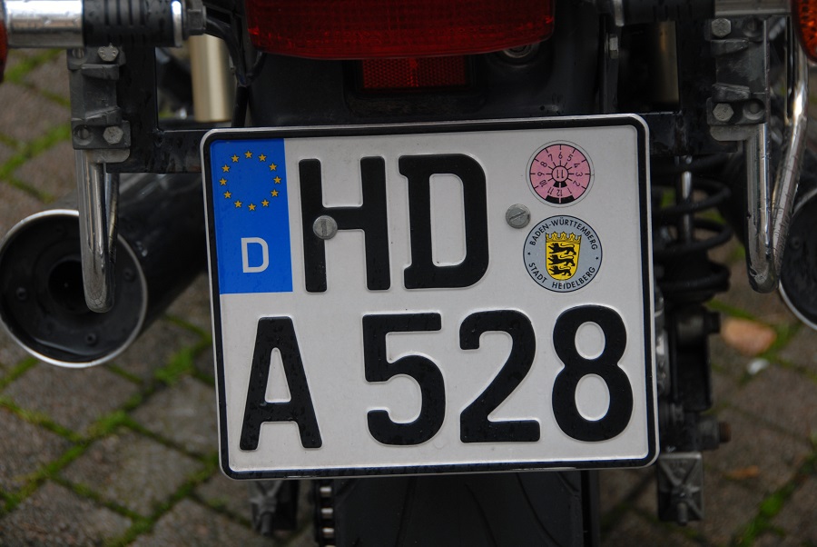
German Registration Plates

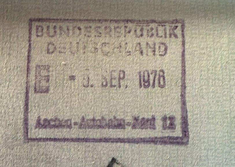
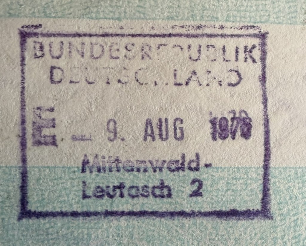
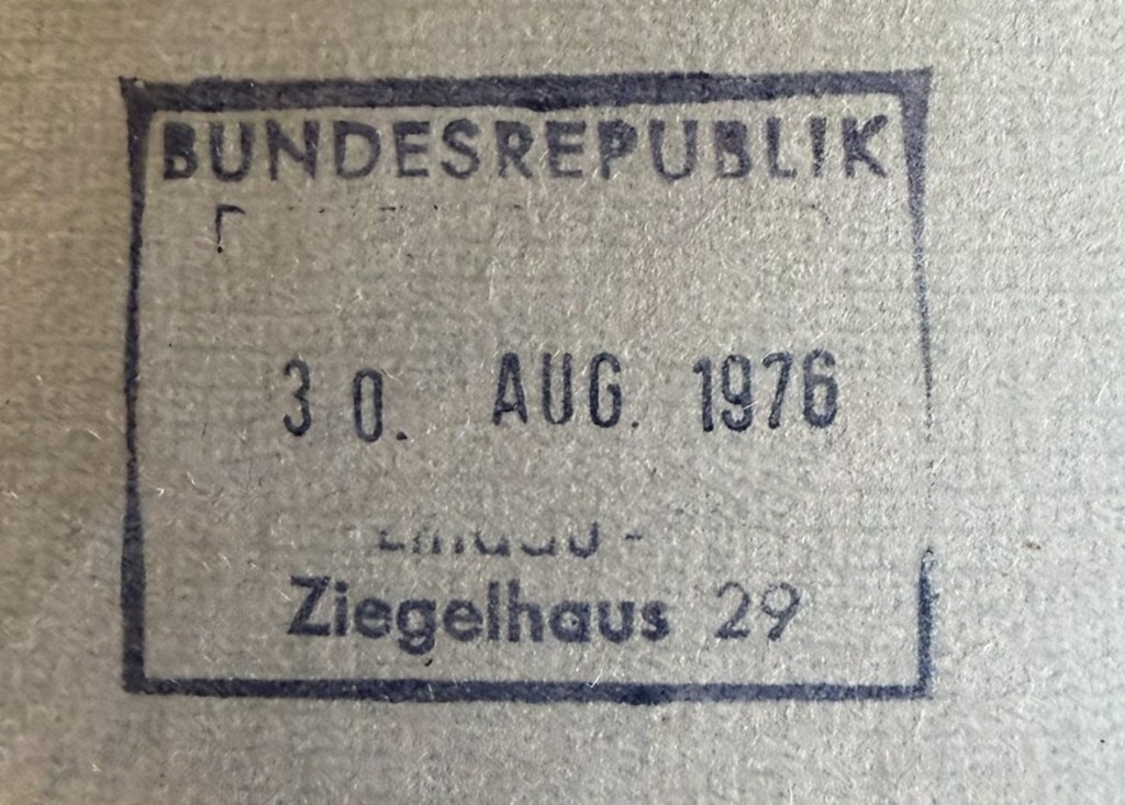
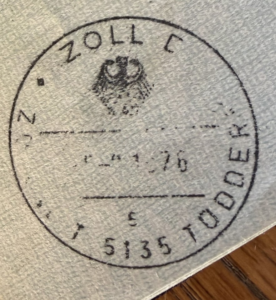
German Passport Stamps

German Tripoints

| Number | Name | countries | type | COORDINATES | Links |
|---|---|---|---|---|---|
| 1 | ATCHDE | Austria – Germany – Switzerland | Wet | 47°31’45″N 09°36’41″E | In theory the tripoint is located in Lake Constance, in practice there has never been any agreement between the three parties involved on how to “divide” the lake. CH regards the mid-line between DE/CH as the natural borderline, Austria’s opinion is that the Eastern part of the lake should be governed by all states, and Germany’s point of view is not really known.. These different points of view haven’t yet had any consequences of any practical sort, since matters of fishing rights and navigation on the lake have been agreed upon by all parties. |
| 2 | ATCZDE | Austria – Czech Republic – Germany | Dry | 48°46’18″N 13°50’22″E | The tripoint is located in the Šumava National Park and the Bayrischer Wald nature area. Accessible from a car park near the Berggasthof Dreisessel and then walk along the Czech – German Border path to the tripoint, taking in the Bayerischer Plöckenstein on the way. The tripoint is marked by a three sided monument with national symbols on each side. Van der Giessen (2024) |
| 3 | BEDELU | Belgium – Germany – Luxembourg | Wet | 43°31’33″N 19°13’15″E | The Belgium, Germany and Luxembourg tripoint is complex because it technically is not a single point but actually 3. This is because the river Our south of the point where the borders meets is jointly owned and administered by Germany and Luxembourg. BEDELU is in the center of the river, with 2 technical tripoints on either side. South of the triline the condominium jointly exists between Germany and Luxembourg. North of the triline the Belgium – Germany border follows the Thalweg. Krogh (2012) |
| 4 | BEDENL | Belgium – Germany – Netherlands | Dry | 50°45’15″N 6°1’16″E | The BEDENL is an extremely accessible Tripoint being very close to neighbouring towns and cities. The tripoint itself is close to the highest point in the Netherlands ( Vaalserberg 322.4m) and an observation tower and several restaurants and playground facilities. Van der Giessen (2024) Wallis (2007) |
| 5 | CHDEFR | France – Germany – Switzerland | Wet | 47°35’23″N 07°35’20″E | The Dreiländereck is located on the Rhine River, along the borders of Basel, Saint-Louis, and Weil-am-Rhein. It is marked indirectly by an impressive tripoint monument designed in 1957 by Wilhelm Münger (150m to the SE). The monument is a large iron pylon in the shape of a rocket with the flags of France, Germany and Switzerland on the tails. North of the tripoint there is a Three Countries Bridge for pedestrians and cyclists. Opened in 2007 and is the world’s longest span pedestrian bridge at 229m. Van der Giessen (2024) |
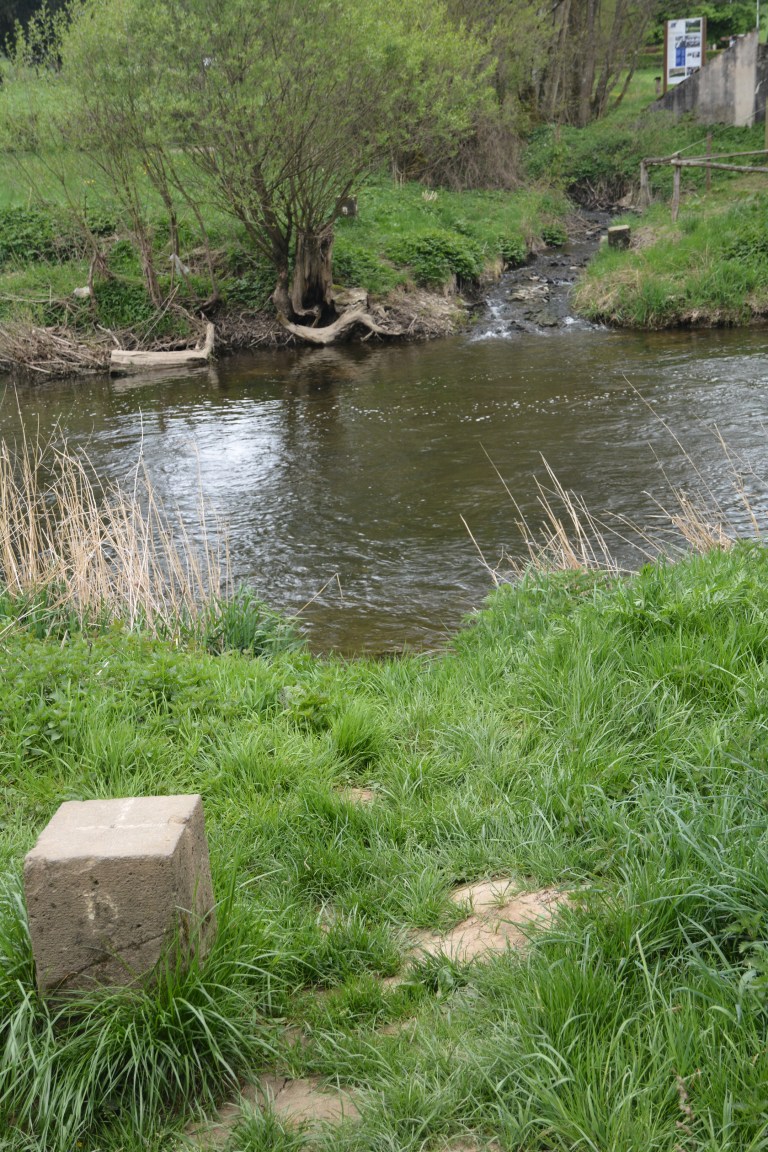
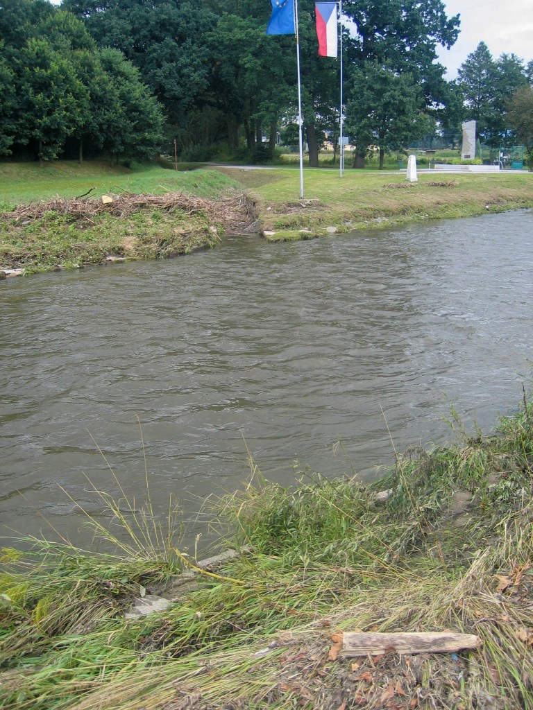
| 6 | CZDEPL | Czech Republic – Germany – Poland | Wet | 50°52’14″N 14°49′ 24″E | The tripoint lies at the confluence between the Neisse river and the Ullersforfer Creek in the centre of the Neisse. The bordering towns are Hrádek nad Nisou (Czech Republic), Zittau (Germany) and Bogatynia (Poland). The tripoint is marked by individual grand border markers in each country plus additional monuments and flags. There are plans for a tripoint monument linking the 3 countries by a 3 way bridge. Krogh (2012) |
| 7 | DEFRLU | France – Germany – Luxembourg | Both | 49°28’10″N 6°22’6″E | Like BEDELU the borders at this triline (not tripoint) are complicated because of the condominium arrangements regarding the shared ownership of the Moselle between Germany and Luxembourg. Above the triline the river is shared, hence like BEDELU there are 3 points of interest along the 114m triline, 1 at each end and one in the middle. Schengen is also of interest Krogh (2003) Van der Giessen (2024) |
Tripoint Gallery

Historic Tripoint

Site Navigation
In order to find your way around the site, either click on the links (text in red) or use the menus at the top and side of the pages. About leads you to the main areas of the site. The European Tripoints menu leads directly you to my visit reports whereas the Country Visits page allows you to choose which country to look at first.
Mobile User Advice
Tables display correctly when holding your mobile horizontally.
To access the links to other pages please click on the 3 horizontal dots at the bottom of the page.
References
grenzsteine.de – a very useful resource with links to many border markers across all of Germany. Click logo or here
