
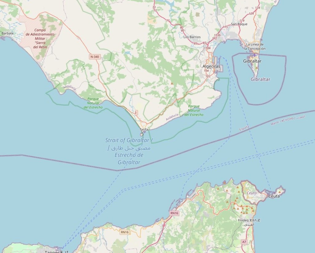
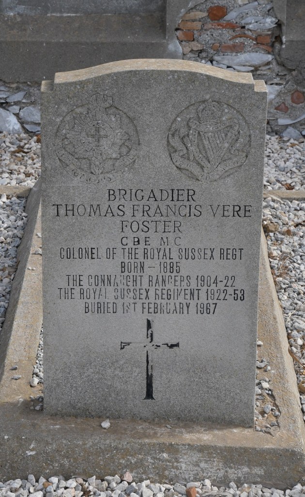
Gibraltar, a British Overseas Territory, located at the southern tip of the Iberian Peninsula. It was captured in 1704 during the War of the Spanish Succession (1701–1714). The Spanish Crown formally ceded the territory in perpetuity to the British Crown in 1713 through the Treaty of Utrecht.
In that treaty, Spain ceded to Great Britain “the full and entire propriety of the town and castle of Gibraltar, together with the port, fortifications, and forts thereunto belonging … for ever, without any exception or impediment whatsoever.”
Spain later attempted to recapture the territory during the thirteenth siege (1727) and the Great Siege (1779–1783). British sovereignty over Gibraltar was confirmed in later treaties signed in Seville (1729) and the Treaty of Paris (1783). Gibraltar is often used as an example of a pene -exclave. More information about exclaves is available here.
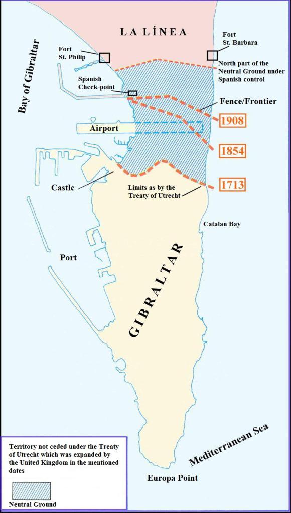
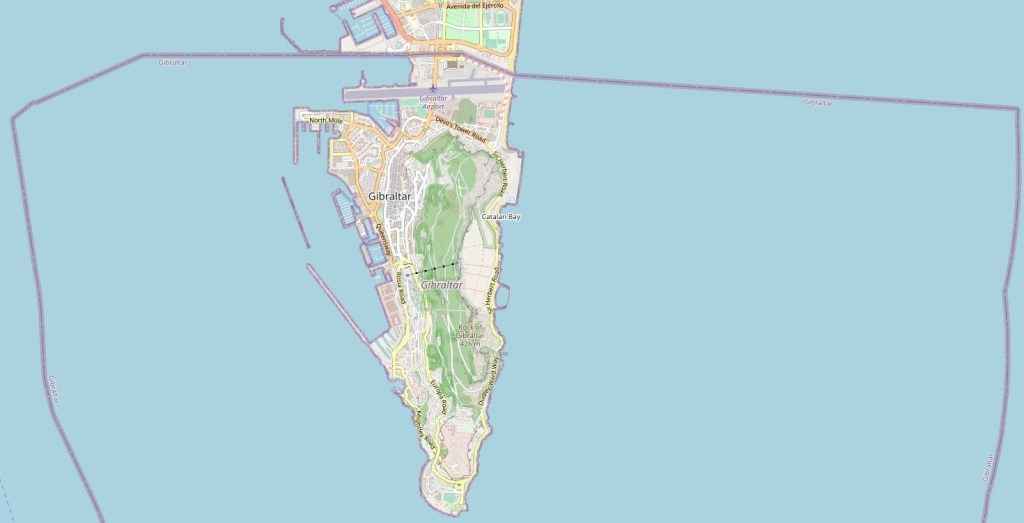
The status of Gibraltar is a point of contention between Spain and the United Kingdom. The land border is 1200 metres long and one of the shortest in the world. In 1910 the British built a fence which according to them was 1 meter inside their part of the neutral territory. The Spanish later contested it was actually 2 meter inside their territory. There is disagreement about where the border should be with the British arguing that their ownership of the 800 m strip of the isthmus is based on the initial position of border forts and de facto ownership. The northern half of the neutral territory was also taken over by Spain in the 1960s, during dictator Francisco Franco’s regime, and now forms an integral part of the Spanish municipality of La Línea de la Concepción. Between 1969 and 1982 the border was closed by Franco, in 1982 local pedestrians were allowed to cross whilst in 1985 the border was opened to vehicular traffic as well. Nowadays 12000 citizens commute to work in Gibraltar each day.
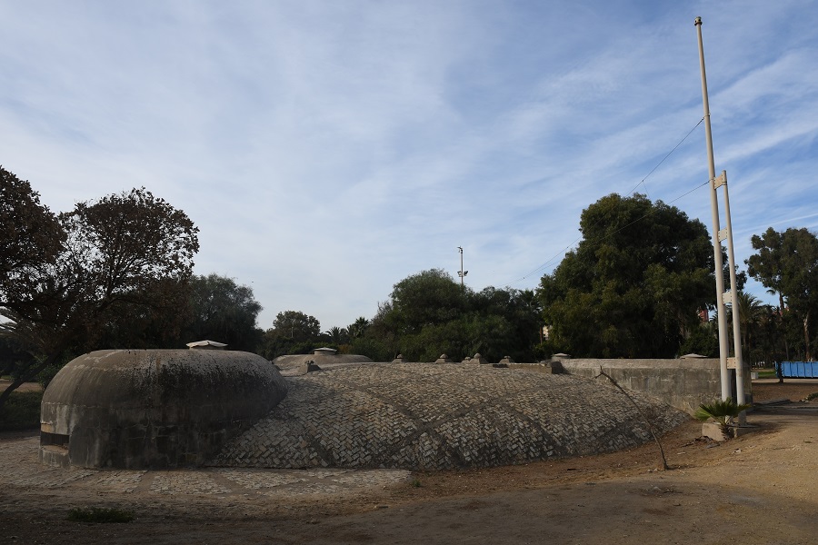
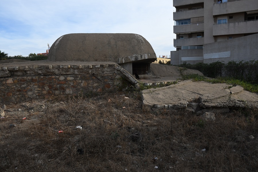
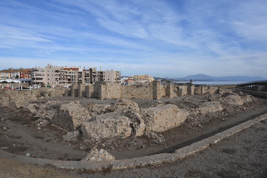
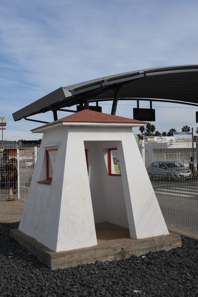
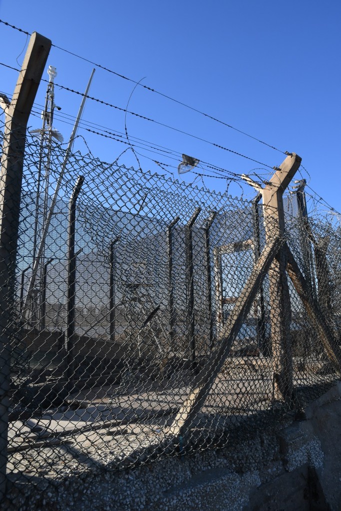
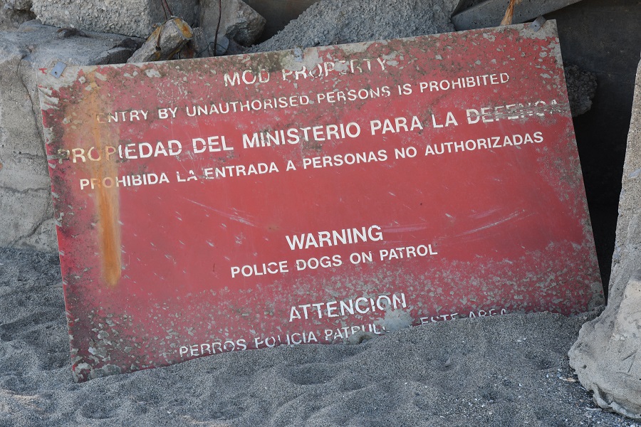
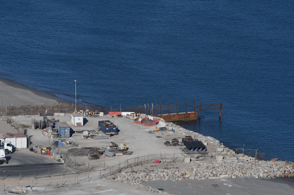
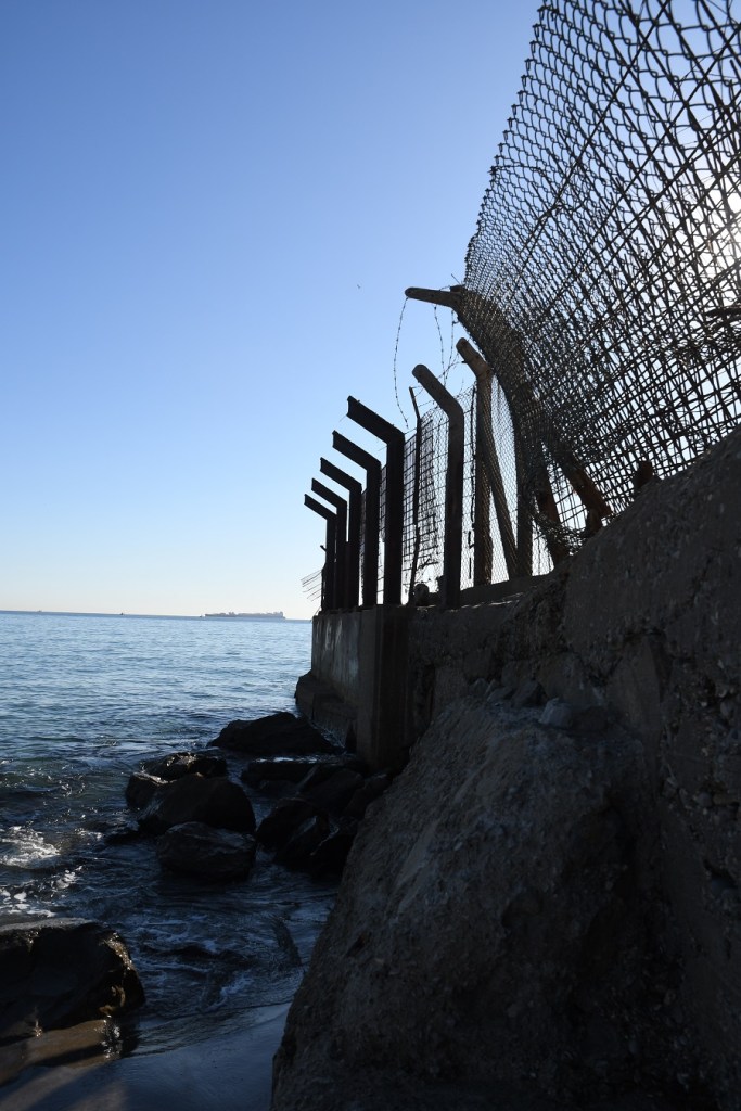
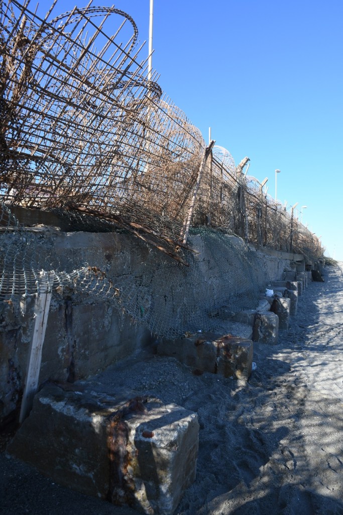
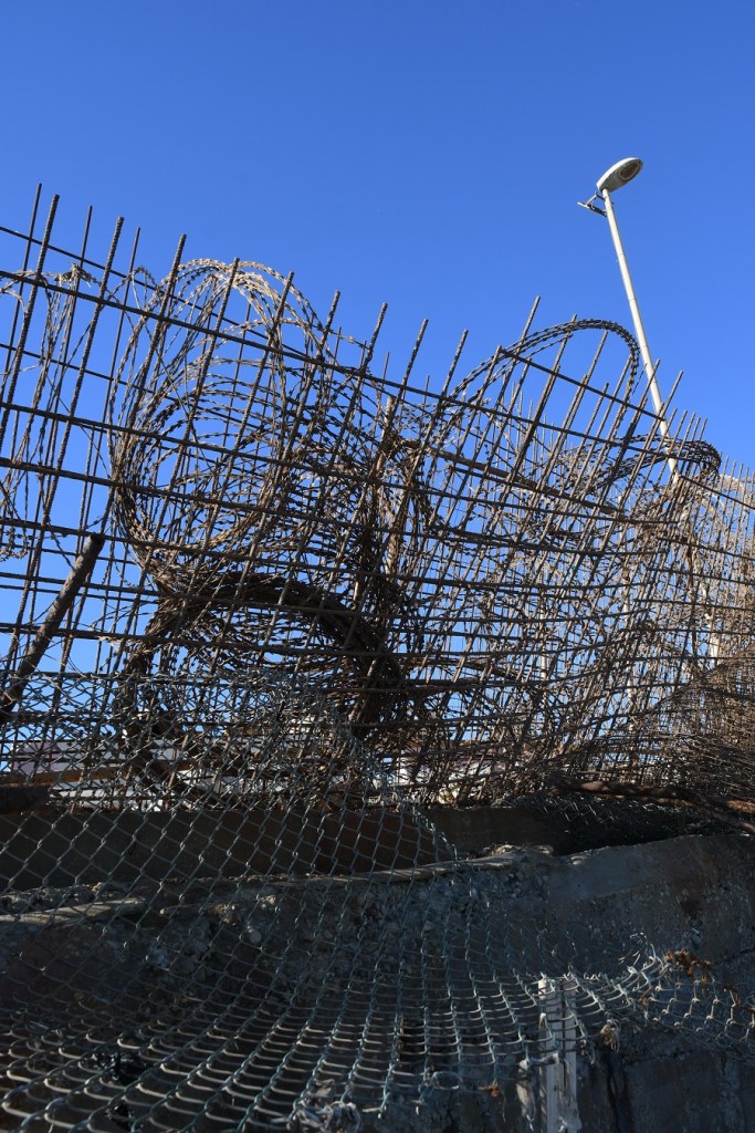
The following photos are of the remnants of the Spanish forts which were at one time at the edge of the neutral, they now are some distance from the border with Gibraltar and for the most part forgotten elements of a past time.

The United Nations considers to be a Non-Self-Governing Territory administered by the United Kingdom of Great Britain and Northern Ireland. The United Kingdom believes that Gibraltar is an independent territory, recognised by the United Nations, and that Gibraltar enjoys the individual and collective rights that are set out in the 2006 constitution and the right of self-determination. Spain contrastingly, sees Gibraltar as a colony of the UK with only the UK empowered to discuss Gibraltar matters on the international scene.
In 2015 the UK reaffirmed its claim to sovereignty, that Gibraltar had its right to self-determination set out in the 2006 constitution and that the UK would not enter into any sovereignty discussions unless Gibraltar agreed and further that the UK was committed to safeguarding Gibraltar, its people and its economy. The UK claimed sovereignty over land extended over the sea to a limit of three miles or to the median line under the UN convention on the Law of the Sea. Any discussion must include Gibraltar as their constitution gave them sole powers over many issues. Gibraltar’s position has been consistently against any encroachment by Spain on its independence. Both countries agree that any change in Gibraltars status must be agreed by Gibraltarians ( who consistently through referendums vote for the status quo). Spain in contrast continues to claim its sovereignty.. Brexit has added another dimension where Gibraltar voted overwhelmingly to remain within the EU whilst the UK narrowly did not.
The following incident shows the competing views of legitimacy and territorial oversight between the 3 parties.
Operation Flavius took place in March 1988, when SAS soldiers shot dead 3 suspected IRA terrorists in Gibraltar. All 3 were later discovered to be unarmed and no bomb was found (although a second linked car was discovered in Marbella Spain with explosives). Whereas the British and Gibraltar authorities deemed the killings lawful, Spain and the European Court of Human Rights in 1995 saw the deaths as illegitimate. The events were subject to a documentary “Death on the Rock” which can be viewed here.

Spain – Gibraltar Border Crossings
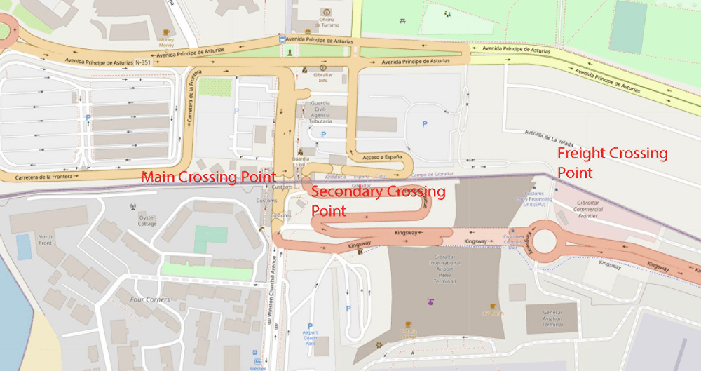
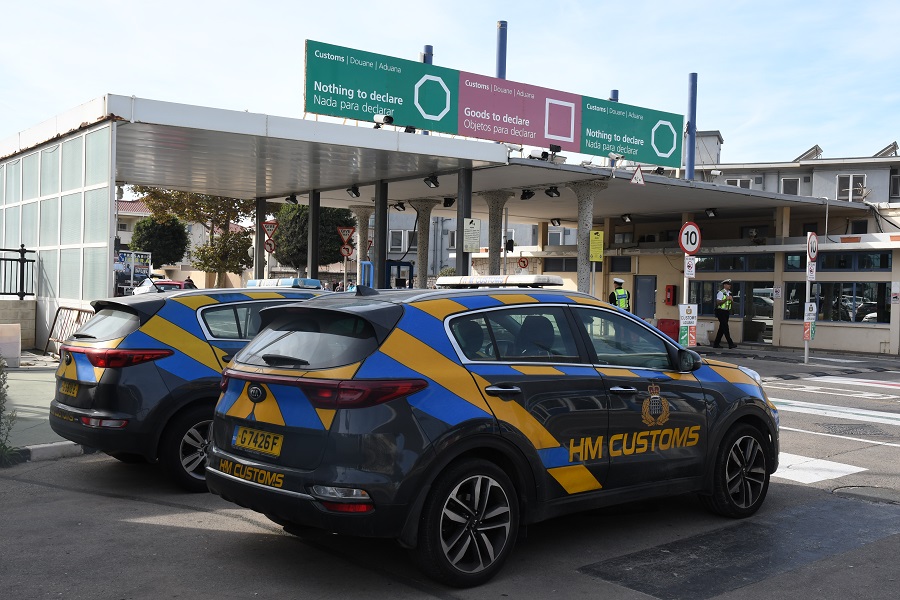
The crossing the land border between Gibraltar and Spain is subject to checks as both the United Kingdom and Gibraltar are not part of the Schengen zone. The airport is a military area where civilian aircraft are permitted to operate. Spain claims the airfield is occupied illegally by the UK. The UK claims its sovereignty extends over the isthmus area on which the airfield is built. The UK also claims a three-mile limit in the territorial waters around Gibraltar whereas Spain claims maritime rights to all areas except inside the ports on Gibraltar. UK claims of incursions of Spanish vessels into Gibraltar territorial waters are considered by Spain to reflect routine activity of Spanish ships in their own waters. There are 2 main border crossings into Gibraltar, one is the main one for tourists and residents, the other for freight. The former has an additional way out during the day, whereas in the evening and night, traffic goes in and out of the same crossing.
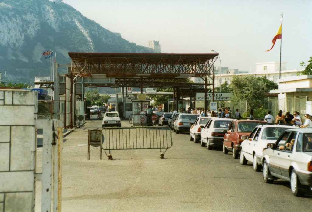
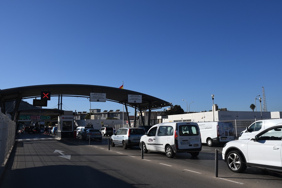
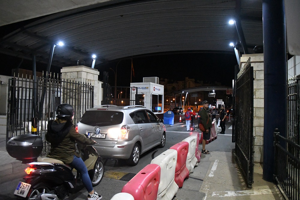
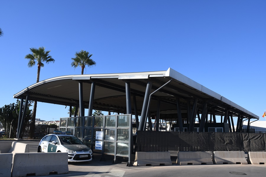
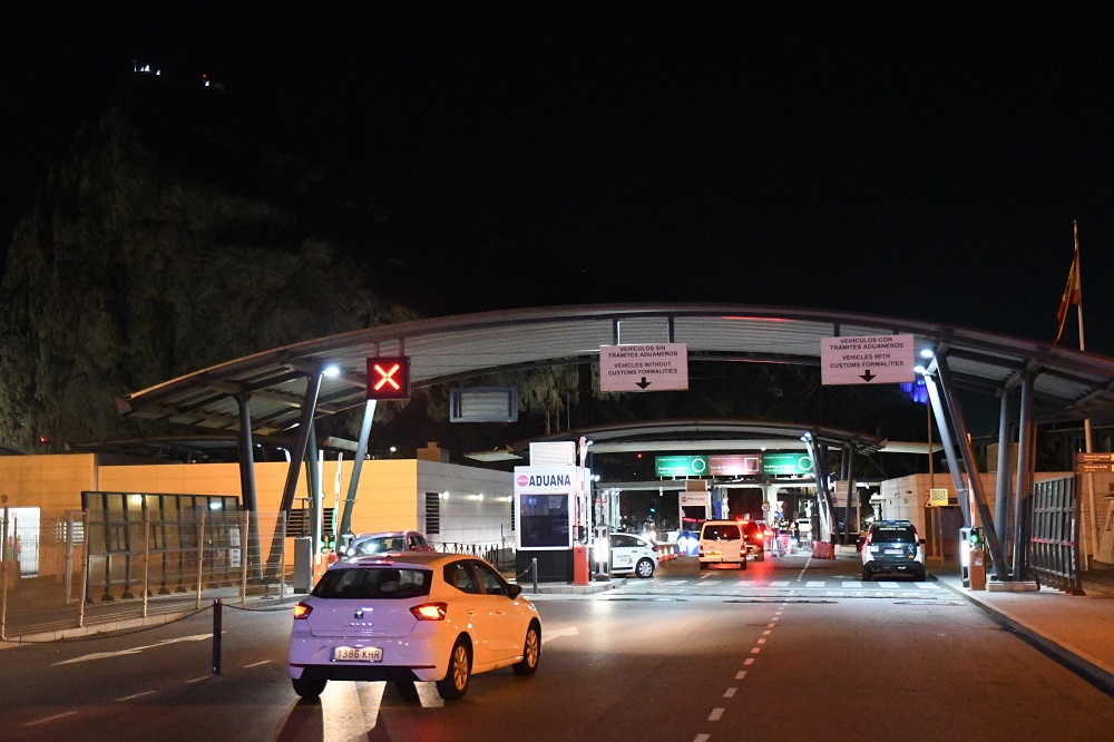
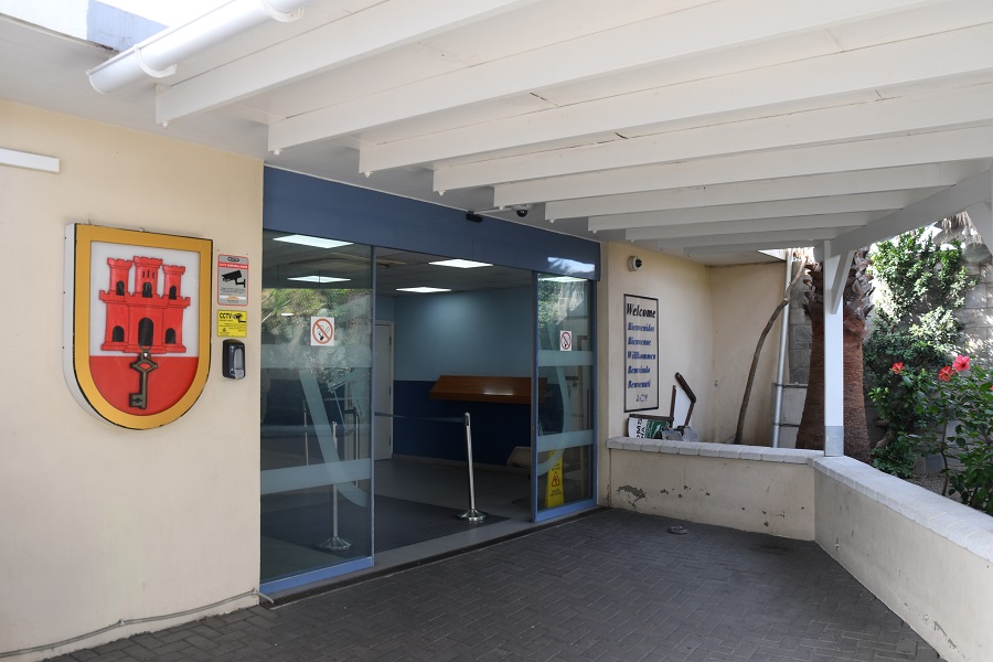
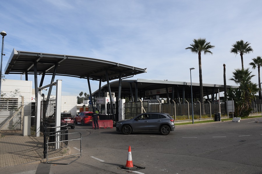
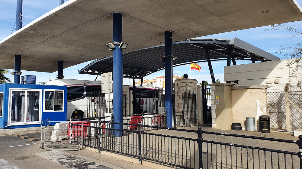
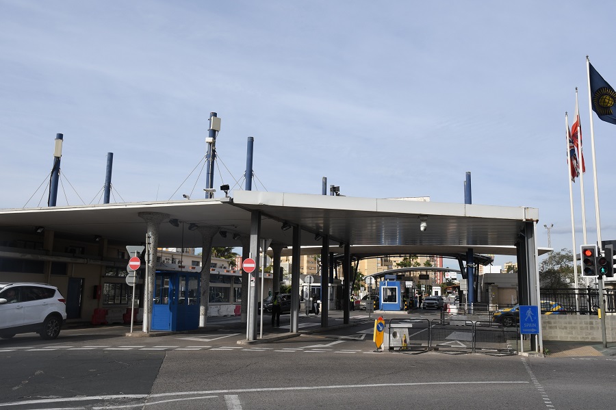
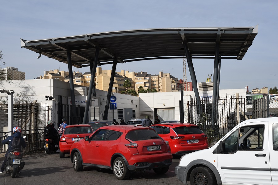
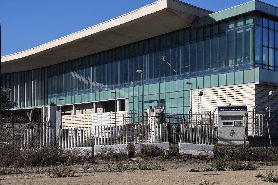
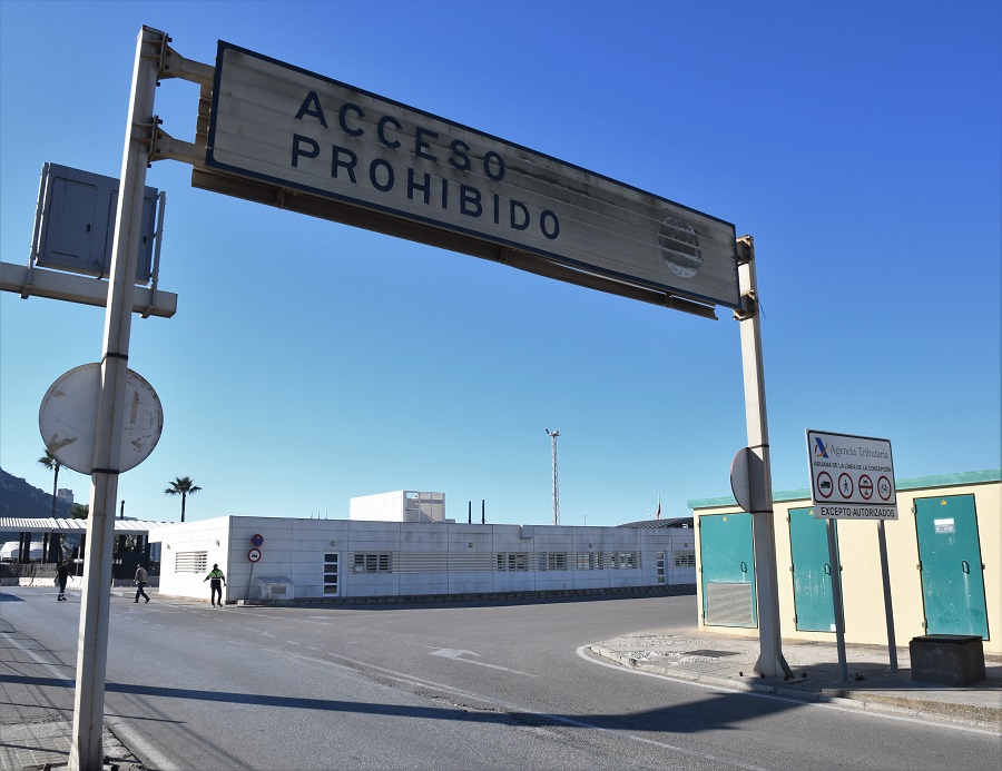
Main Crossing Point
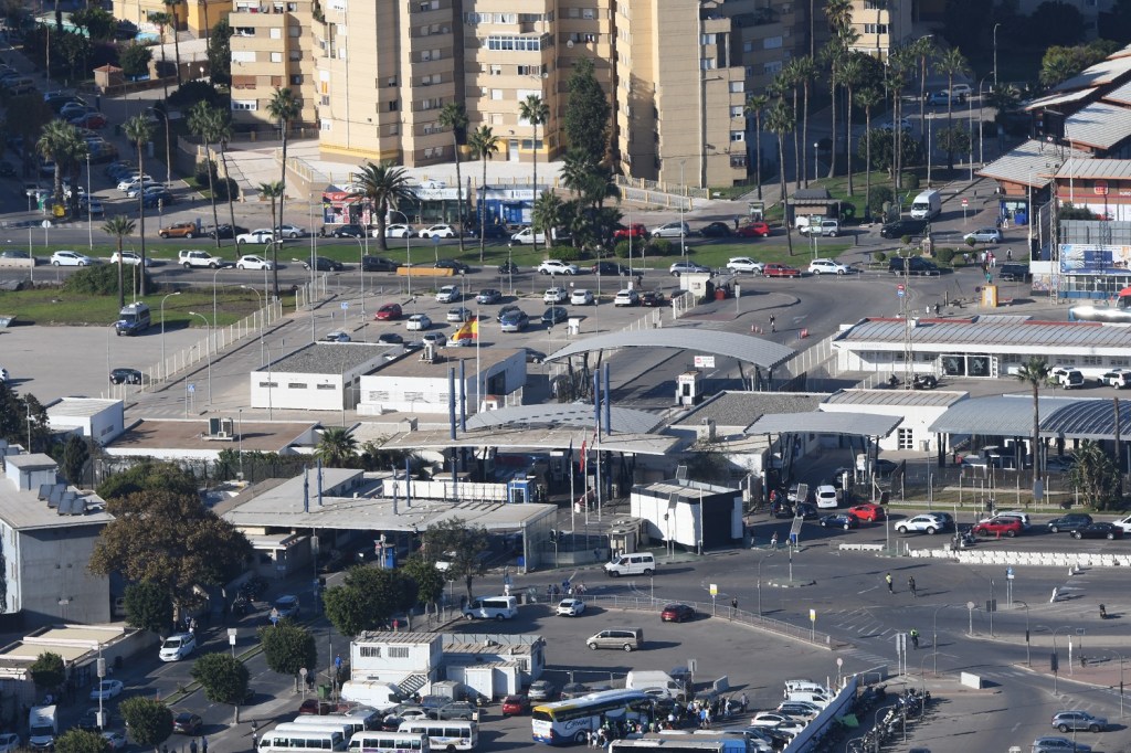
The border crossing has developed markedly since the earlier photos above. In this photo the Spanish side of the crossing has 2 curved roofs covering the main road in. The Gibraltar controls (paler and flatter) are the closest. This photo, taken mid afternoon shows a line of cars on the right leaving the territory with separate controls to those entering. What was nice about this border is that it was very relaxed which allowed for easy photography, a pleasant change from some of the borders where it is forbidden to photograph!!
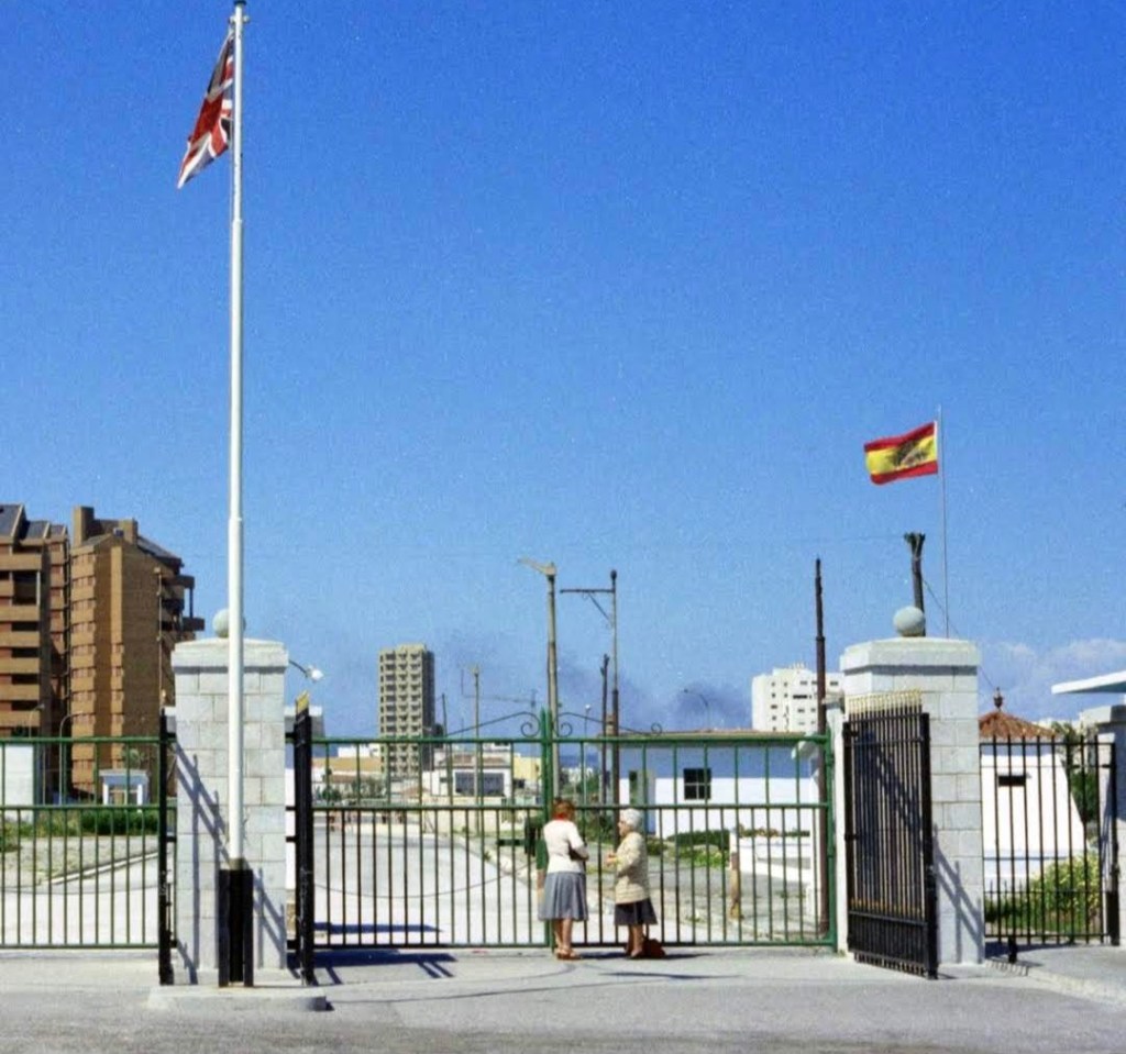
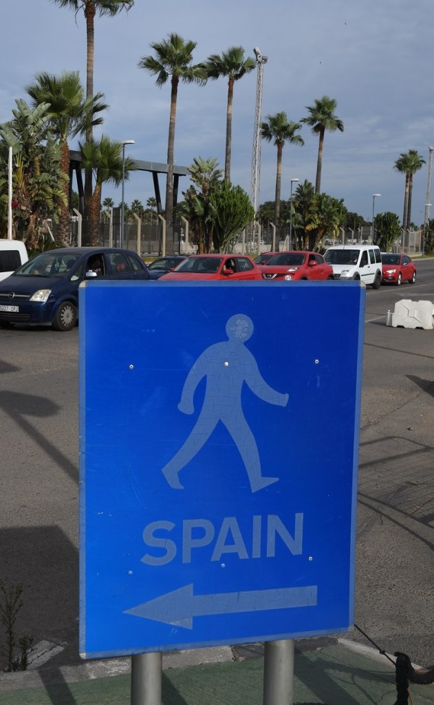
From the Spanish side
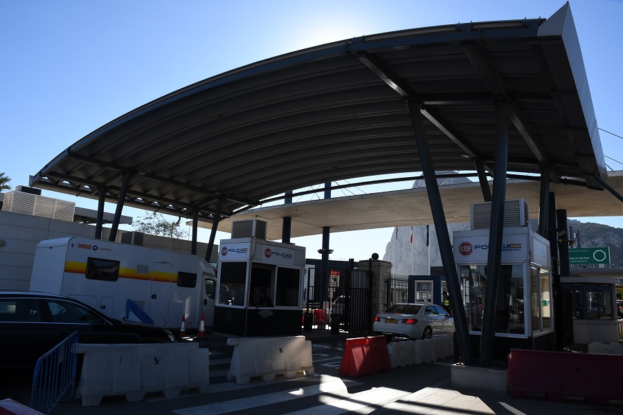
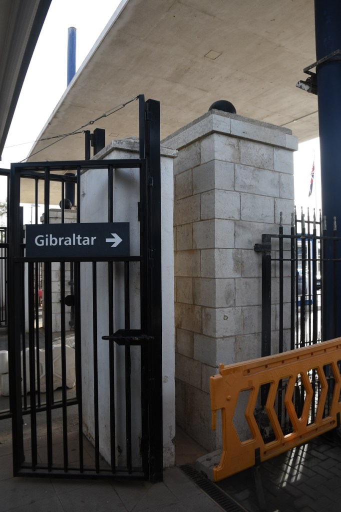
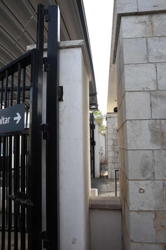
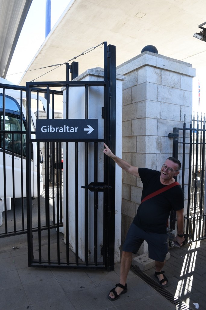
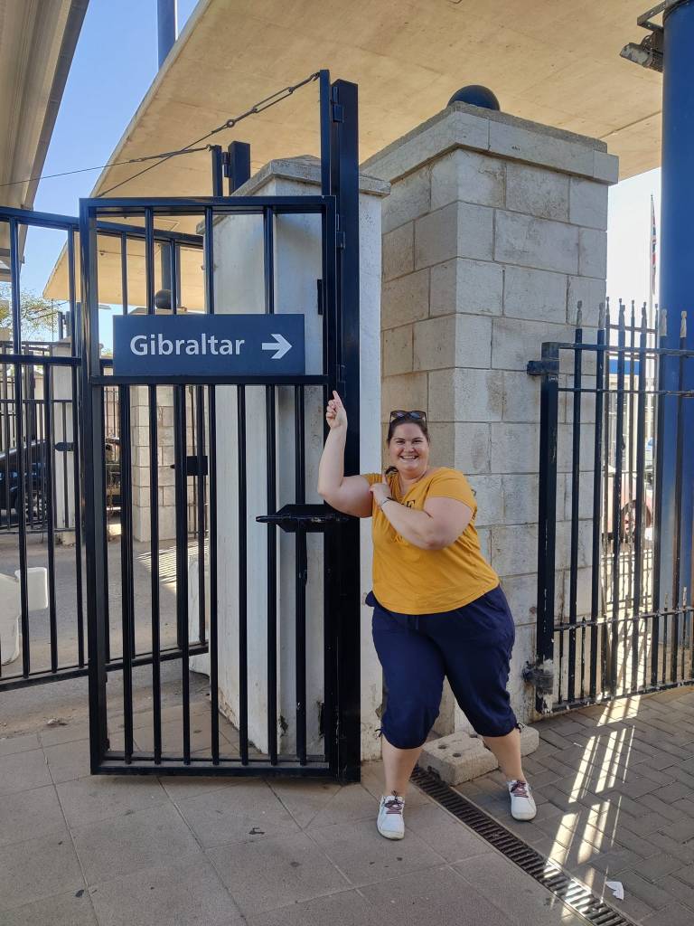
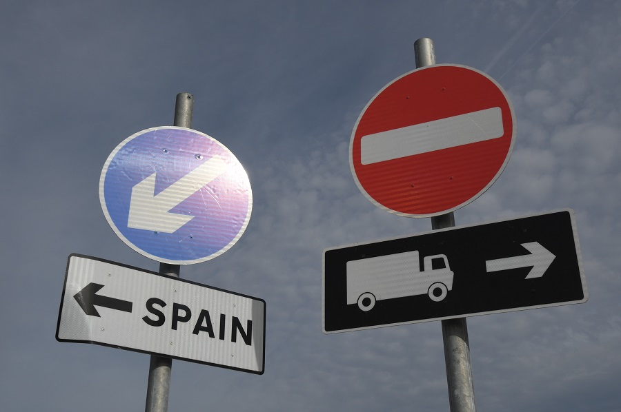
The actual border!!
The actual border is marked by a line between the 2 sets of pillars that hold 2 separate sets of gates. Meeting up with a fellow border enthusiast was added bonus and of course we had to celebrate the crossing of the border in a suitable manner.
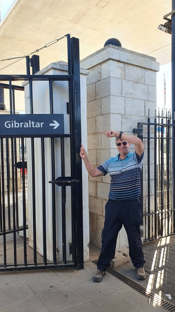
The border enthusiasts from 3 different countries: CZ, DK and UK but we all have to celebrate crossing the border with a subtle variation.
From the Gibraltarian side

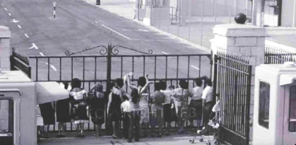
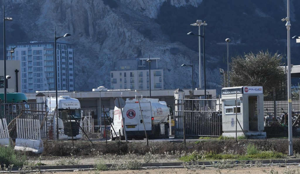
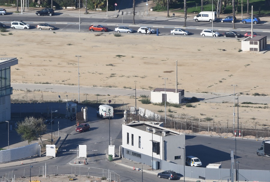
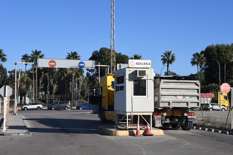
Freight Crossing Point
The freight crossing point lies to the east of the main crossing point and was very busy at most times we were there. This was the only place where we were warned about taking photos from a Spanish official. We were however sufficiently far away to not hear or understand.
The Border
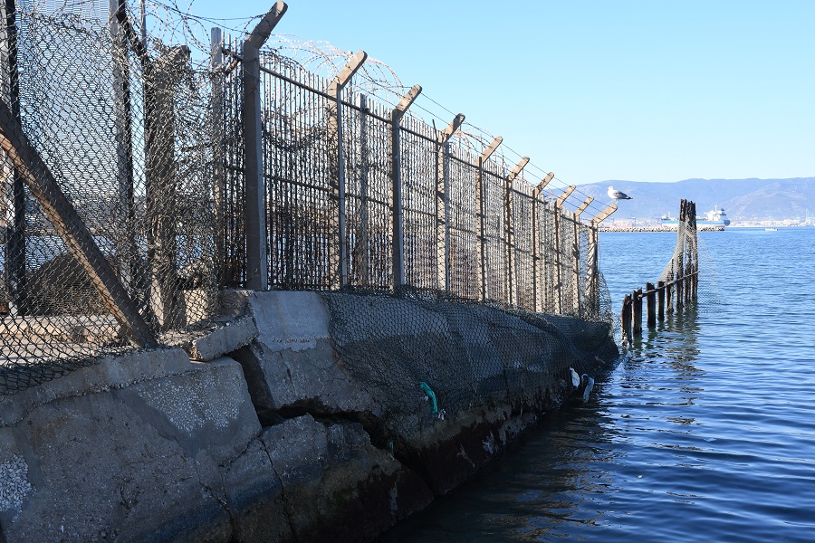
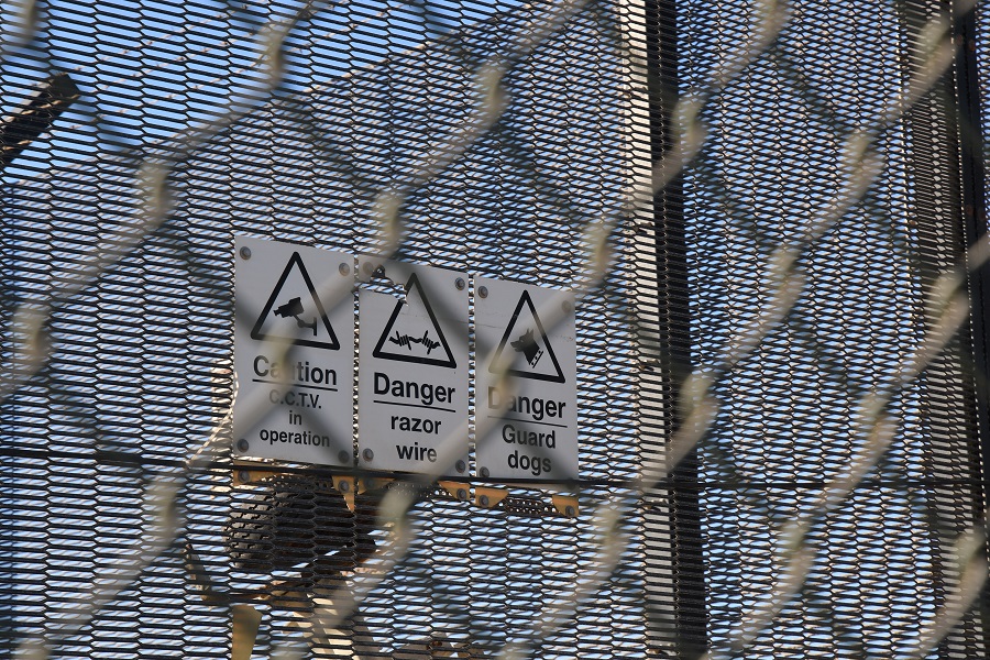
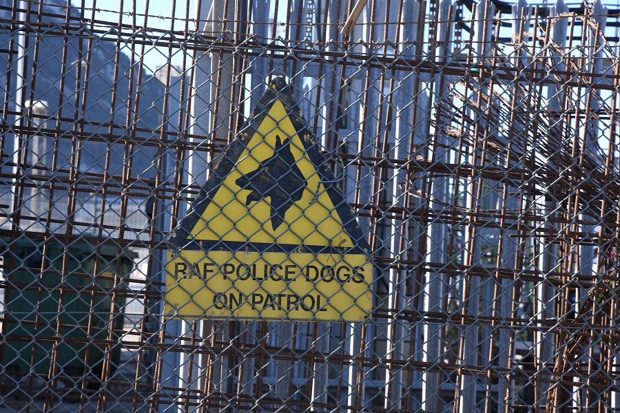
The border, one of the shortest in the world is easily accessible, but only from the Spanish side. The airport in Gibraltar is for obvious reasons a secure area and inaccessible. The area to the west of the main border crossing is also inaccessible. We spent our first morning moving from west to east.
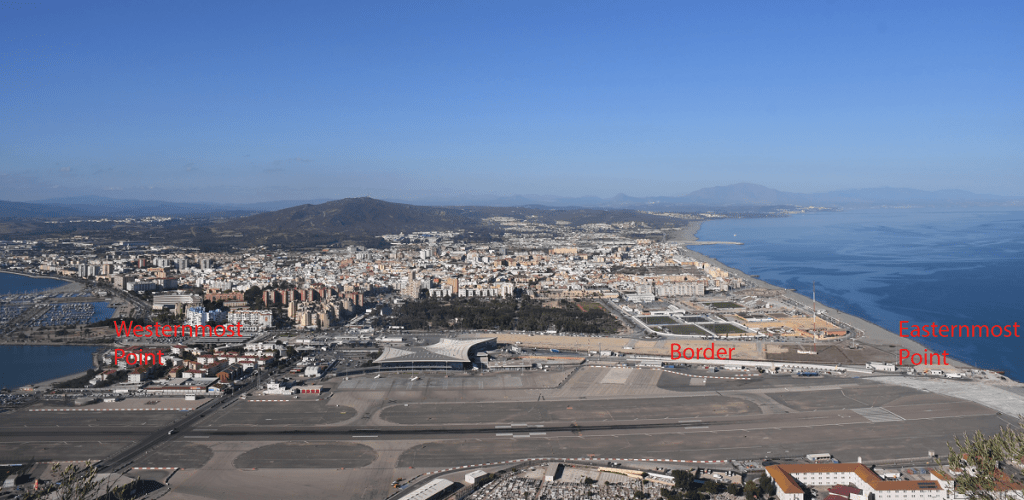
Westernmost Point
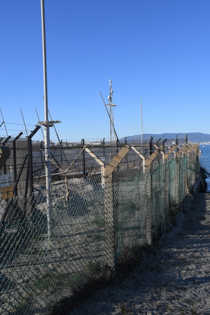
Easternmost Point
The Airport
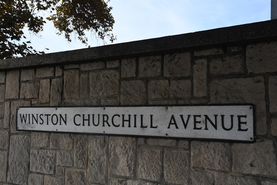
Gibraltar International Airport, previously known as North Front Airport, (IATA: GIB, ICAO: LXGB) is the civilian airport that serves the British overseas territory of Gibraltar. The runway and aerodrome is owned by the Ministry of Defence (MoD), and operated by the Royal Air Force (RAF) as RAF Gibraltar. Civilian operators BA and EasyJet use the civilian-operated terminal. Spain has prevented any other airlines using the airport as part of the EU Open Skies Programme. At the time of our visit an exciting aspect of a visit was the walk down Winston Churchill Avenue across the runway. Since March 2023 however there is a new Kingsway route through a tunnel underneath the runway for both vehicles and pedestrians. For more information, photos and videos about the airport and its border dimension click on the following LINK or the photo below.

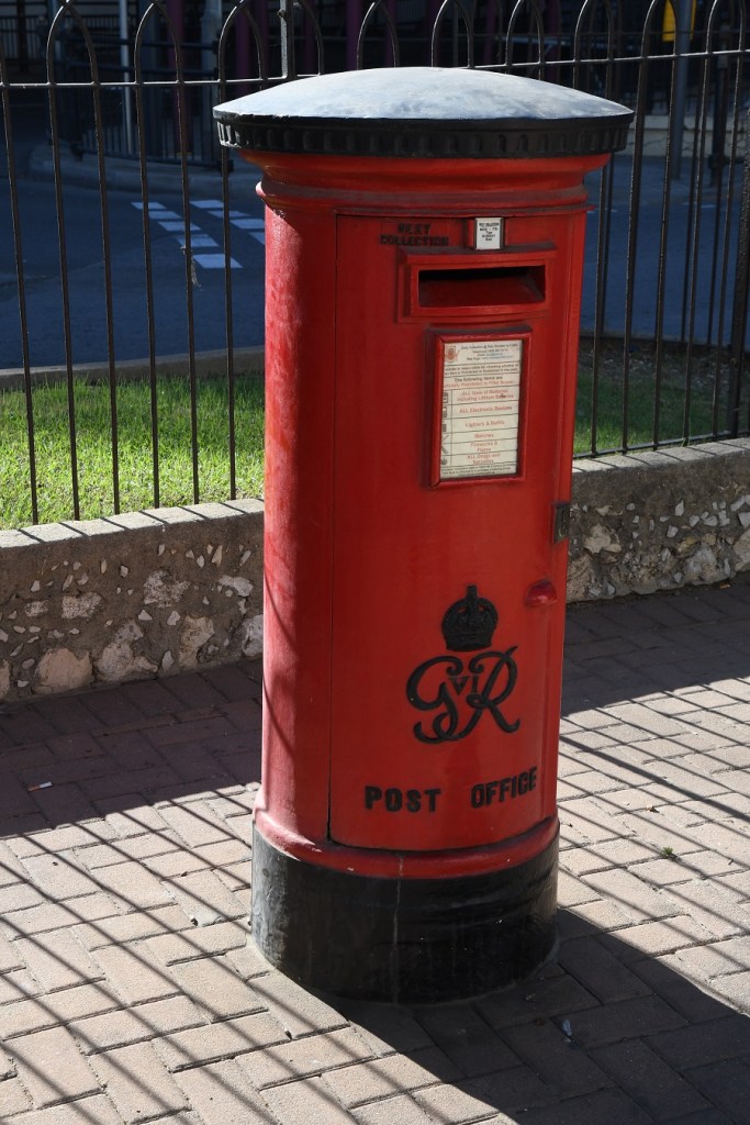
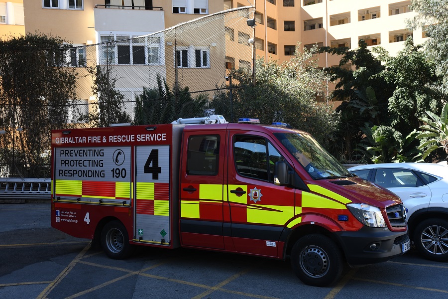
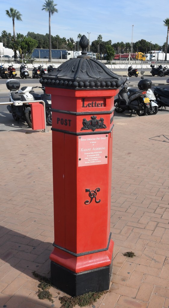
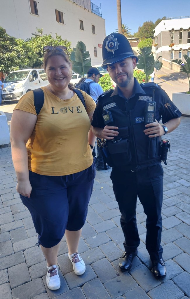
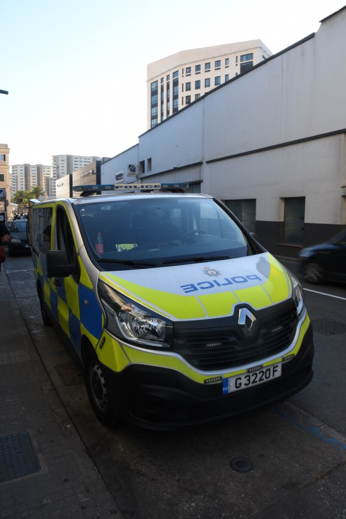
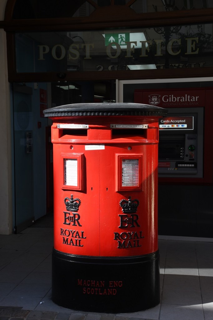
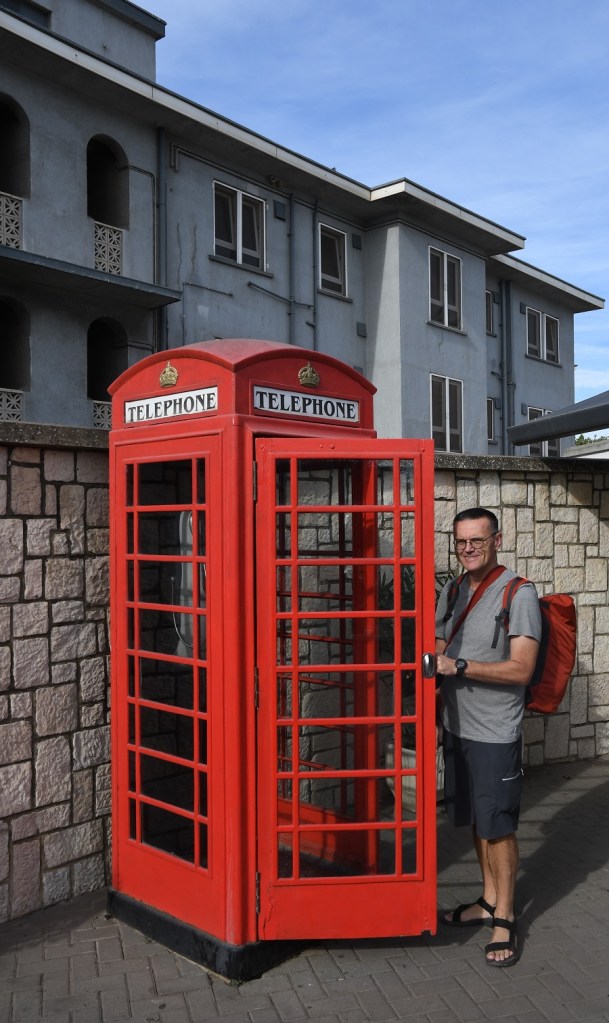
Echoes of the UK
For UK tourists elements of Gibraltar are very familiar, and remind one immediately of home. Here are a few images that caught my eye. If it was not for the weather and the obvious closeness and influence of Spain this is the closest to home of anywhere on the European continent.
The Rock
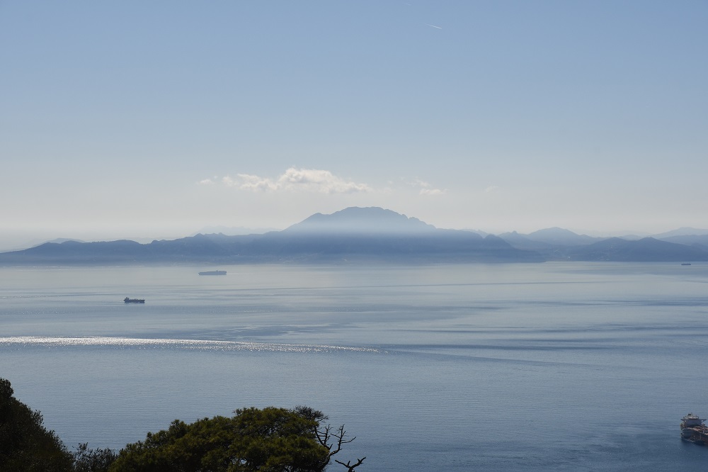
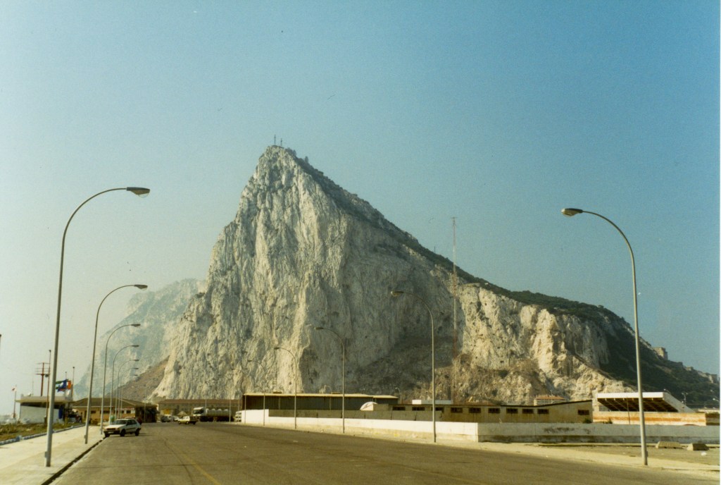
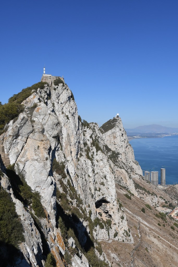
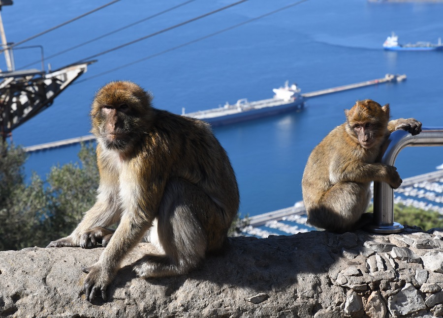
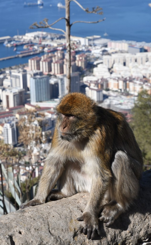
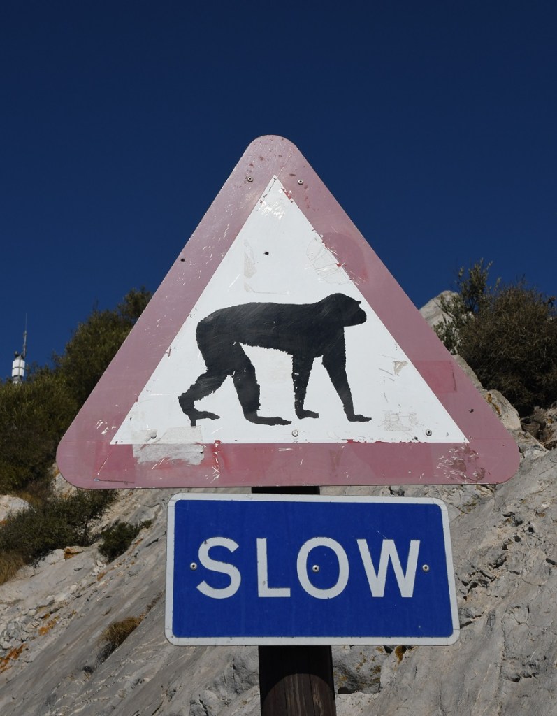
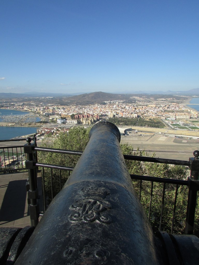
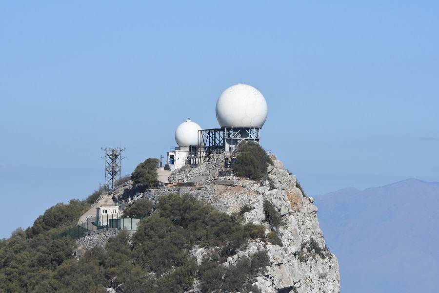
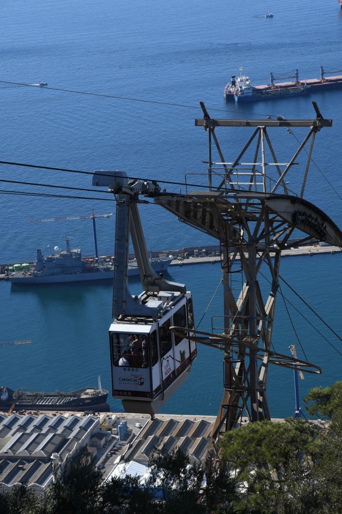
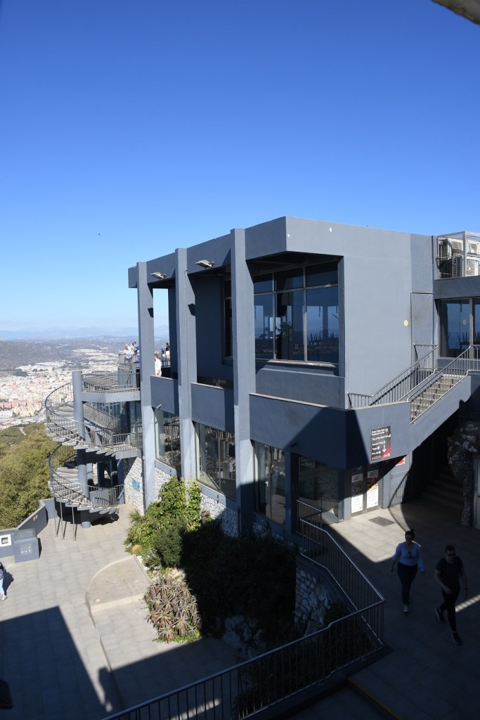
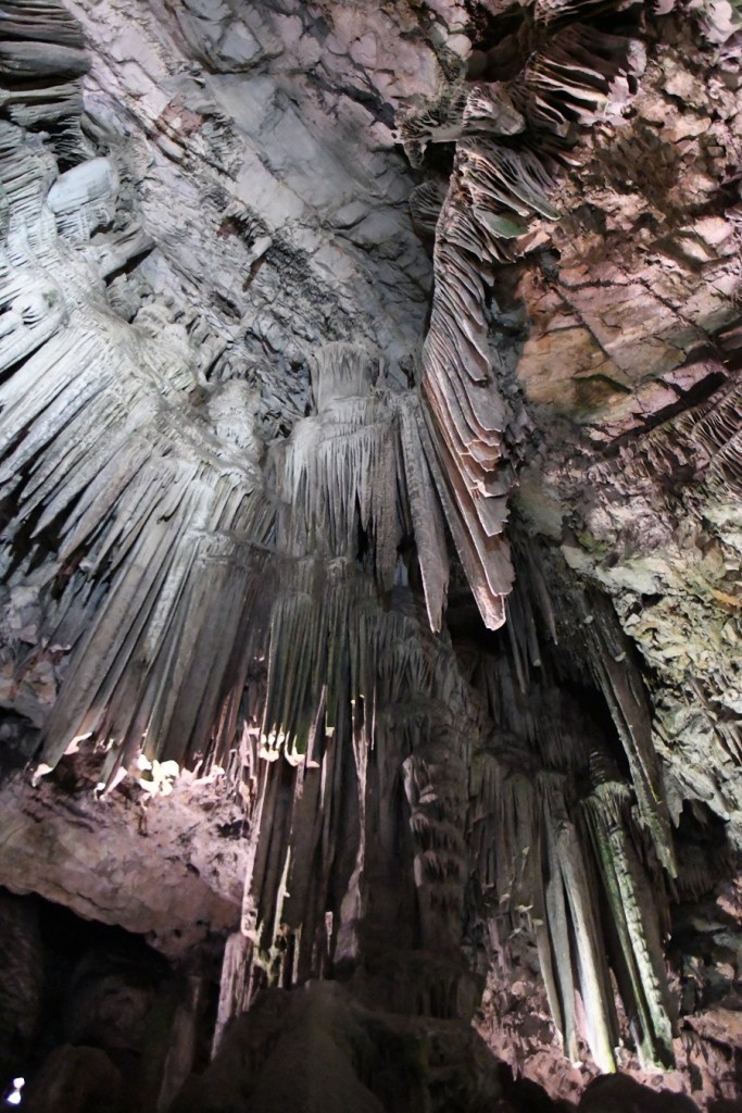
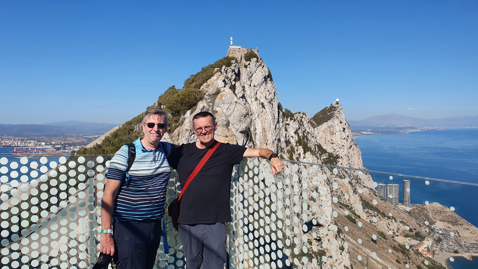
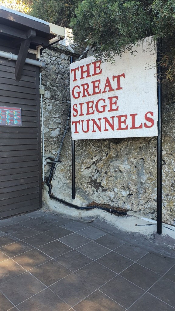
The Rock of Gibraltar (from the Arabic name Jabel-al-Tariq) is a monolithic limestone promontory located in the British territory of Gibraltar, near the southwestern tip of Europe on the Iberian Peninsula, and near the entrance to the Mediterranean. It is 426 m high. Most of the Rock’s upper area is covered by a nature reserve, which is home to around 300 Barbary macaques. These macaques, as well as a labyrinthine network of tunnels, attract many tourists each year. A unique feature of the Rock is its system of underground passages, known as the Galleries or the Great Siege Tunnels. There are several tourist attractions on the rock, most people get the cable car up.
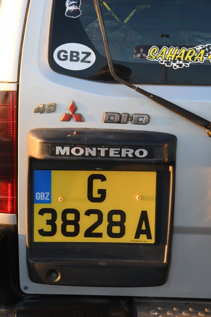
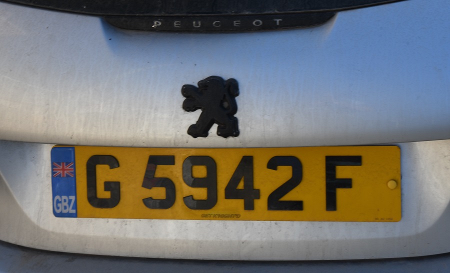
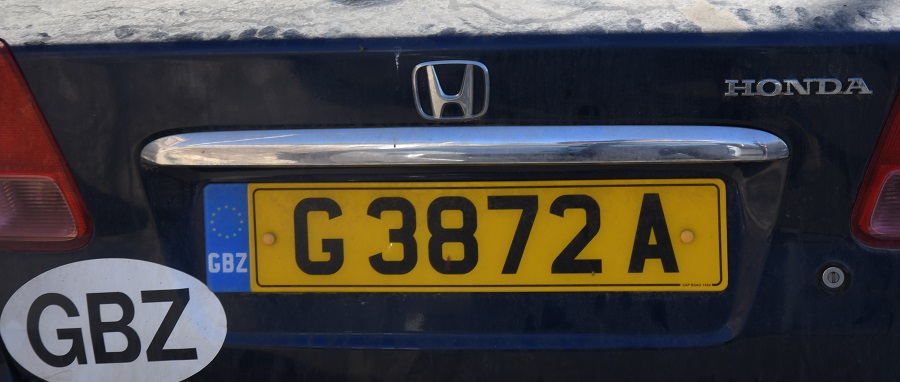
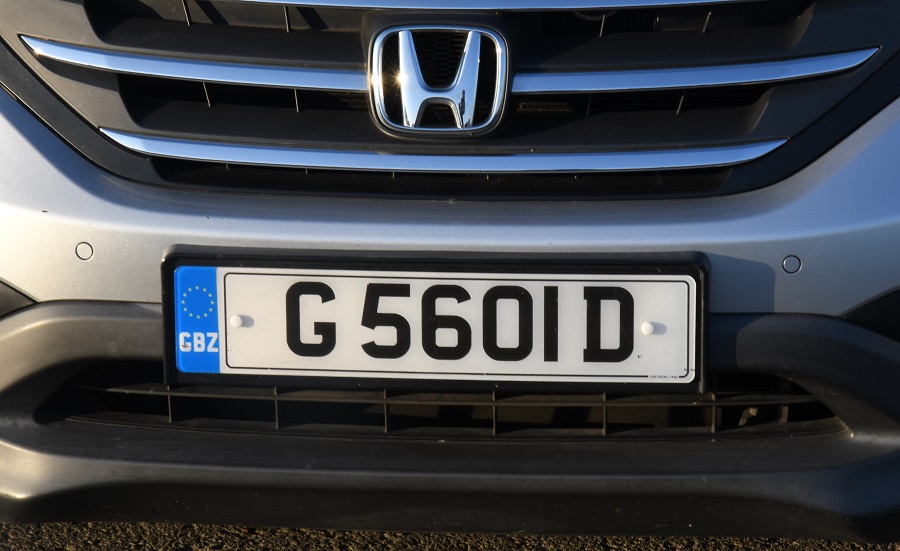
Gibraltar Registration Plates

First Date of Visit: August 1996
Second Date of Visit: 7 November 2022
