

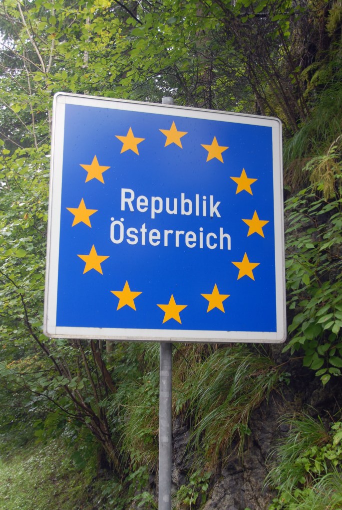
Austria (German: Österreich), known officially the Republic of Austria is a land-locked country in Central Europe. It is bordered by Germany and the Czech Republic to the north, Slovakia and Hungary to the east, Slovenia and Italy to the south, and Switzerland and Liechtenstein to the west. The current borders stem from 1918. Prior to that Austria was a leading European power, initially as an archduchy within the Holy Roman empire, leading its own empire during the 19th Century and as part of the Austro-Hungarian empire.
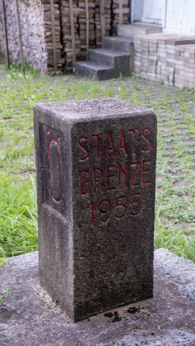
Prior to WW2, Germany annexed Austria by the Anschluss under terms outlined by the Munich Agreement. Following the defeat of Germany, Austria was divided into four occupation zones and jointly occupied by the United States, the Soviet Union, the United Kingdom, and France. Vienna was similarly subdivided but the central district was collectively administered by the Allied Control Council. After Austrian promises of perpetual neutrality, Austria was accorded full independence in 1955 becoming the first country where the Soviet Union voluntarily withdrew after WW2.
Austria has been a member of the United Nations since 1955 and joined the European Union in 1995. OSCE and OPEC are based in Austria and it is a founding member of the OECD and Interpol.
Austria is a member of the Schengen Zone and Eurozone.
Border Facts: Austria shares national borders with Switzerland (a non-European Union member state, and the principality of Liechtenstein (also a non-EU member state) to the west, Germany, the Czech Republic and Slovakia to the north, Hungary to the east, and Slovenia and Italy to the south.
Austria – Germany Border established in 1871, the border between Germany and Austria is 784 km in length and is therefore both countries longest border. Mainly consisting of Alpine mountain ranges at its centre, the border begins in the north-west at Lake Constance, before moving east up to the ATCZDE tripoint. The founding of the Republic of Austria in 1918 stabilized the border before it disappeared with the annexation of Austria by Germany in 1938. At the end of the Second World War, the border was restored and has experienced no changes since. Cross border cooperation is facilitated by a shared language and focus on sustainable development, environmental and tourism issues.
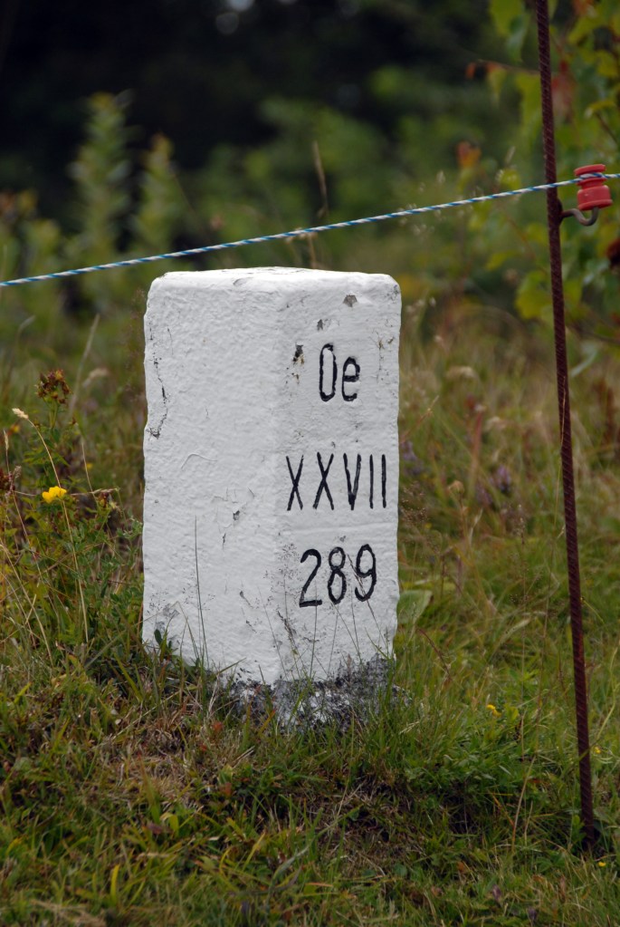
Austria – Czech Republic Border is 466 km long, it begins at the border tripoint formed by the Austrian, German and Czech borders (ATCZDE). It then turns towards the east and comes to an end at the tripoint formed by the meeting of borders between Austria, the Czech Republic and Slovakia (ATCZSK). Its demarcation crosses the rivers Inn and Morava.
This border was established in 1918, with the end of the First World War, the fall of Austro-Hungarian Empire and the creation of Czechoslovakia. During the Second World War, the region was annexed by Germany, becoming the protectorate of “Bohemia-Moravia”. The demarcation remained unchanged, with the border becoming a part of the “Iron Curtain” during the cold war. The current Austro-Czech border was established with the dissolution of Czechoslovakia on 31 December 1992 and the independence of the Czech Republic on 1 January 1993. Cross border cooperation is well established.
Austria – Slovakia Border is the second shortest Austrian border at 107 km long. It begins at the tripoint ATCZSK formed by the Czech, Slovak and Austrian borders, near the towns of Hohenau an der March and Borský Svätý Jur, running southwards before turning towards the east and following the Morava river to the ATHUSK tripoint between the Hungarian, Austrian and Slovak borders. It had already been in existence since 1919 after Czechoslovakia’s declaration of independence. In 1939, Germany invaded the region and divided it into several protectorates, subtly modifying the borders in favour of Austria. At the end of the war, the previous demarcation was re-established (with the exception of part of Bratislava). During the cold war, this border was part of the iron curtain and thus represented a real obstacle between the two countries. With the partition of Czechoslovakia, no modification was made to the border.
Austria – Hungary Border is 355 km long. The border is situated in the northwestern section of the country. One of the important natural features along the border between the two nations is Lake Neusiedl.
This border was established for the first time in 1921, after the fall of the Austro-Hungarian Empire. Austrians and Hungarians, fraternal rivals over the previous four centuries, ended up being the two big losing parties of the war. Austria wished to compensate its losses (Bohemia-Moravia, Galicia, Slovenia, Southern Tyrol) at the expense of Hungary, and the latter was unwilling to cede territory (the future Burgenland) even to its western neighbour, after having lost more than two thirds of its territory. In the end, Hungary managed to conduct a plebiscite on the area surrounding the town of Sopron, where a majority (despite being Germanophone) voted for Hungary in December 1921. The outcome of this referendum with the historic town of Sopron staying in Hungary restored good relations between the 2 countries and the border has remained unchanged since then.
The integration of Hungary into the Eastern Bloc in 1949 turned this border into a section of the Iron Curtain. From this point onwards, the border was essentially materialised by barbed wire and watchtowers. In 1989, this was the first border to be dismantled following the Pan European Picnic.
Austria – Slovenia Border is 330 km long and separates the countries from east to west, lying mostly in the Alps. It begins at the tripoint formed by the Austrian, Slovenian and Italian borders (ATITSI) at the summit of the Pec mountain at 1509 metres above sea level. In the east, the border comes to an end with the tripoint marking the crossing of the Austrian, Hungarian and Slovenian borders (ATHUSI). This border came into existence in 1919 with the Treaty of Saint-Germain-en-Laye. Before this, the Slovenian territory was part of the Austro-Hungarian Empire and there was therefore no border. The end of the First World War confirms the inclusion of Slovenian territories in the first Yugoslavia, thus creating the border. The cross-border region of Carinthia is consequently split in two, one portion being attached to Austria and the other to Slovenia.
From 1938 to 1945, following the annexation of Austria by Germany, this demarcation became the border between Germany and Yugoslavia. At the end of the Second World War, this border became part of the Iron Curtain and was therefore closely monitored. In 1991, Slovenia declared its independence with regard to Yugoslavia. Austria quickly recognised Slovenian independence and the Austro-Slovenian border demarcation was thus definitively established in 1991. In 2004 Slovenia joined the European Union, before joining the Schengen Area in 2007 ending border controls.
Cross border cooperation is well established.
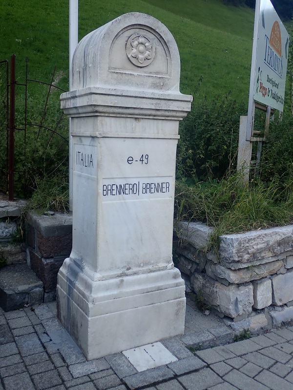
Austria – Italy Border is 430km long. The border between Italy and Austria has existed with its current demarcation since 1919 and the Treaty of Saint-Germain-en-Laye. In 1938, following the annexation of Austria by Germany, it nevertheless mutated into an Italian-German border. Despite the participation of Italy as an ally of Germany in the Second World War, the border was not modified by the peace treaty signed in 1947. This border has the particularity of being the first “mobile border,” recognised as such, in the world. Indeed, the border treaty signed in Vienna in 1994 stipulates that it is likely to move as a consequence of environmental changes. However, a diplomatic agreement is necessary between Italy and Austria to confirm these shifts, which is not the case between Italy and Switzerland whose demarcation is automatically updated according to these changes. The border is characterised by mountains and passes e.g. Brenner and Birnlucke.
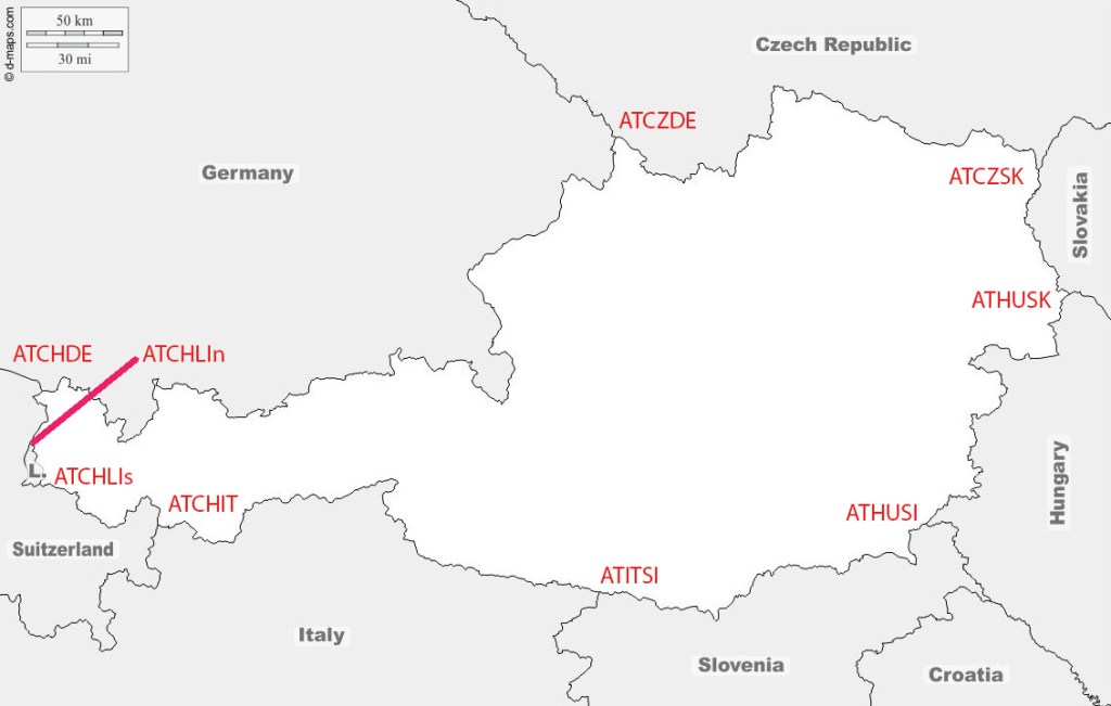
Austria – Switzerland Border is164 km long, the Austro-Swiss border has the peculiarity of being divided into two segments. Liechtenstein, divides the border into 2 parts. The northern segment of the border begins at the ATCHDE tripoint. The second portion begins south of Liechtenstein and comes to an end near the Resia Pass, at the geographic ATCHIT tripoint between Austria, Italy and Switzerland, which lies at 2000 metres above sea level. This border has been in existence since the signing of the Treaty of Westphalia in 1648, which put an end to the Thirty Years War and firmly established Switzerland’s independence with regard to the Holy Roman Empire.
In 1719, the birth of Liechtenstein changed the demarcation of the border, dividing it into two distinct portions. Lastly, in 1919, the border underwent another change when South Tyrol became part of Italy following the end of the Austro-Hungarian Empire.
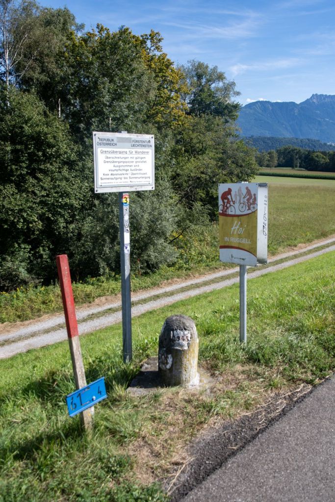
Austria – Liechtenstein Border is 34 km along the eastern and northern sides of Liechtenstein, separating it from the Austrian state of Vorarlberg. While the border is mostly natural, a recent 2024 agreement established a straight-line demarcation across a new artificial lake to simplify the border where it previously followed an old moat. After Austria joined the European Union, the Liechtenstein-Austria border became the border between the principality and the EU. The border runs between 2 tripoints ATCHLIs on the summit of Naafkopf and ATCHLIn in the Rhine River.
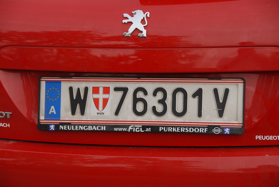
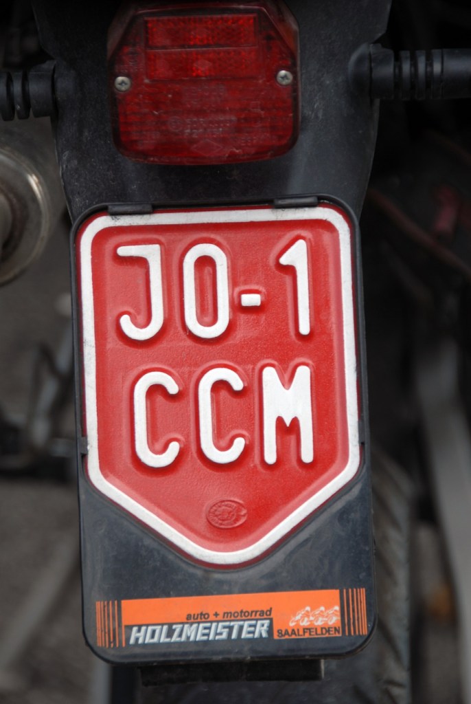
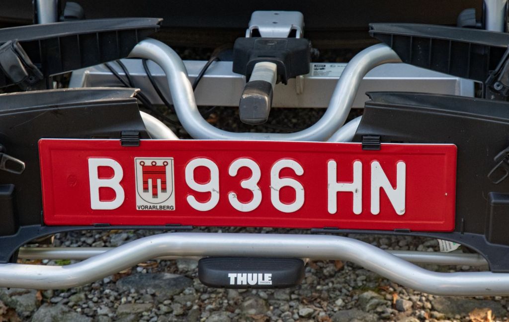
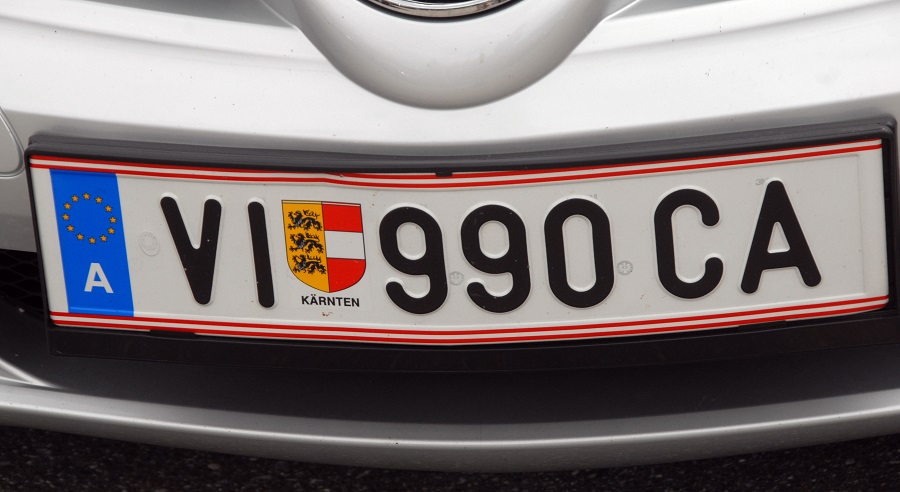
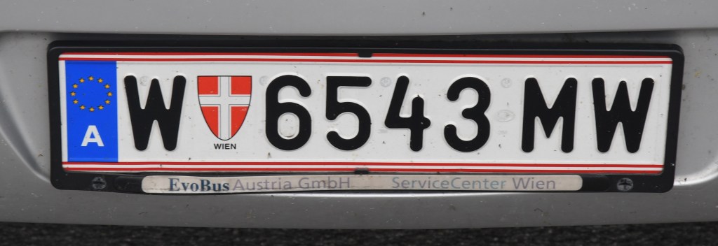
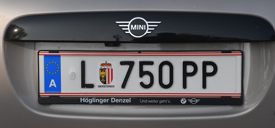
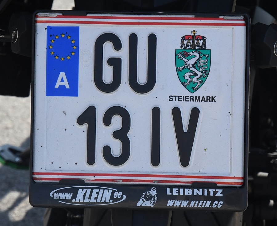
Austrian Registration Plates

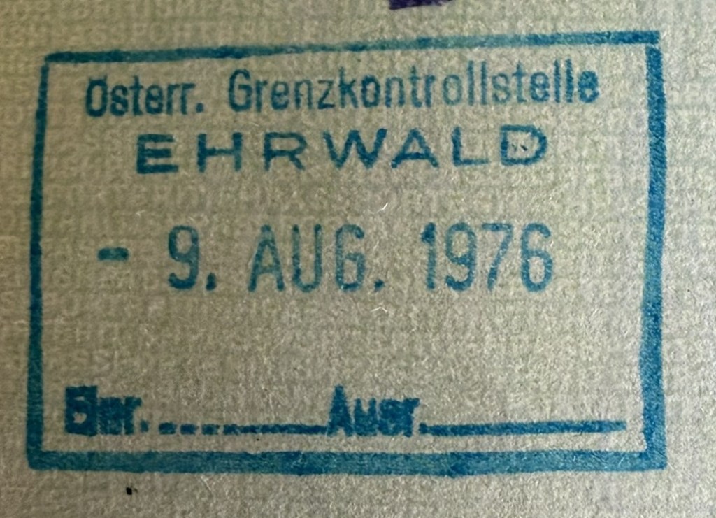
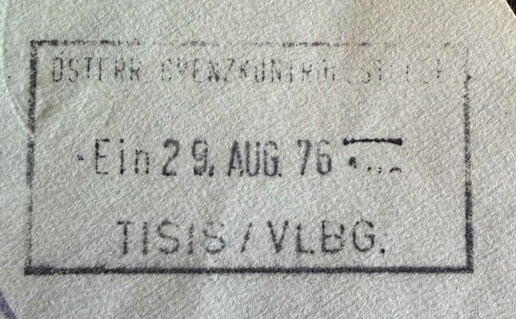
Austrian Passport Stamps
Austrian Tripoints
| number | Name | countries | COORDINATES | TYPE | Links |
|---|---|---|---|---|---|
| 1 | ATCHDE | Austria – Germany – Switzerland | 47°31’45″N 09°36’41″E | Wet | In theory the tripoint is located in Lake Constance, in practice there has never been any agreement between the three parties involved on how to “divide” the lake. CH regards the mid-line between DE/CH as the natural borderline, Austria’s opinion is that the Eastern part of the lake should be governed by all states, and Germany’s point of view is not really known.. These different points of view haven’t yet had any consequences of any practical sort, since matters of fishing rights and navigation on the lake have been agreed upon by all parties. |
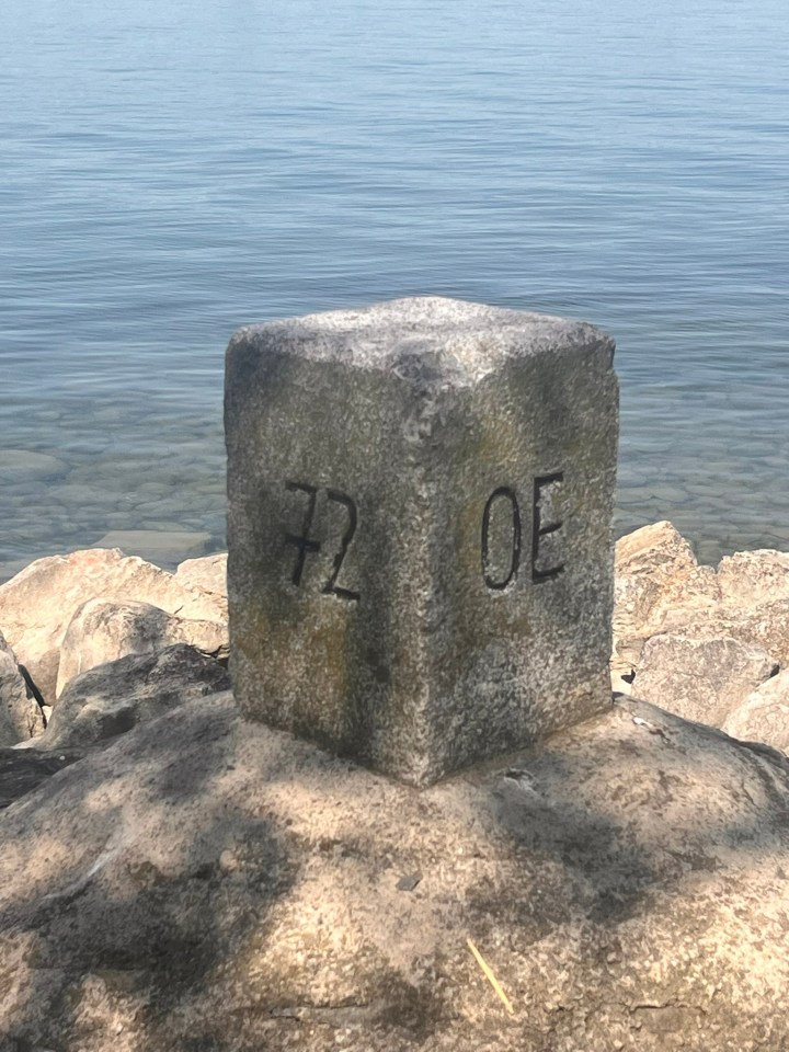
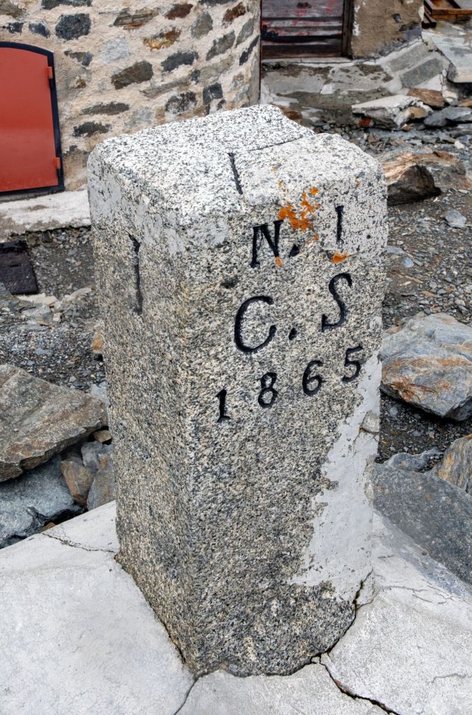
| 2 | ATCHIT | Austria – Italy – Switzerland | 46°51’16″N 10°28’08″E | Dry | The tripoint is located at the Resia Pass (2174m) near Piz Lad. The tripoint is marked by a border marker placed flat on top of a rock. The Dreiländergrenzstein is usually reached by taking the Mutzkopfbahn chair lift from Nauders (AT), walking in direction of Schwarzer See, and then the Grünsee Lake. A steep climb up the ATIT border leads to the tripoint. Van der Giessen (2024) |
| 3 | ATCHLIn | Austria – Liechtenstein – Switzerland (north) | 47°16’11″N 09°31’49″E | Wet | The tripoint is located in the river Rhine, south of the Bangs-Lienz (ATCH) border crossing. The ATLI border is demarcated and there are border markers on each side of the Rhine with BM#135 in AT commonly described as marking the westernmost point of Austria. BM#136 in CH is the tripoint marker. Van der Giessen (2024) |
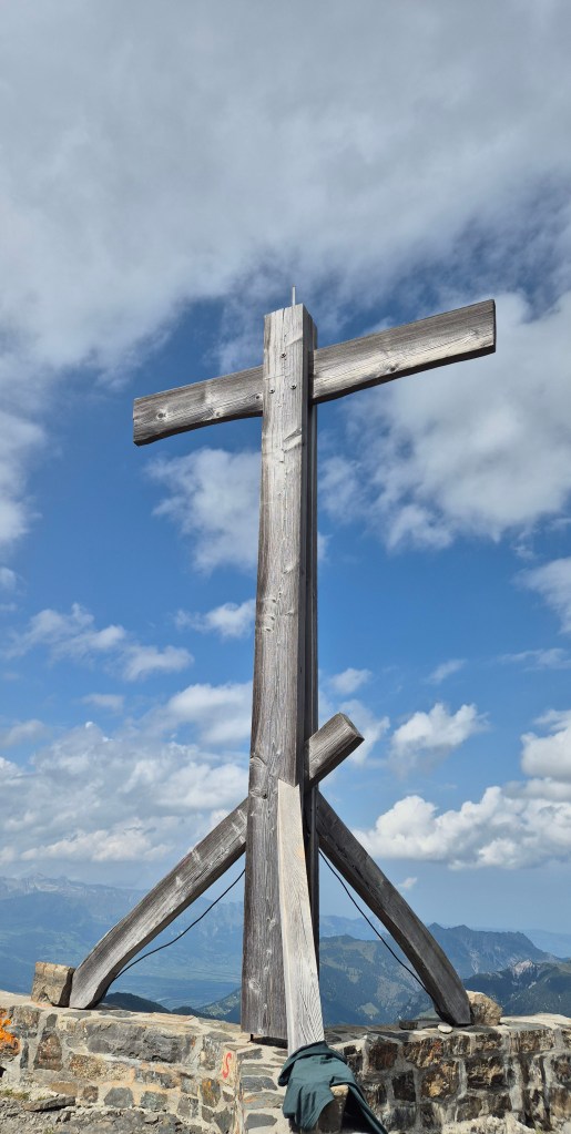
| 4 | ATCHLIs | Austria – Liechtenstein – Switzerland (south) | 47°03’35″N 09°36’24″E | Dry | The tripoint is located on the summit of the Naafkopf, a mountain in the Rätikon Alps. The tripoint is marked by a large wooden cross on a brick base that extends in three directions. Naafkopf is the third highest peak in Liechtenstein. Most people approach on the northeastern ridge which marks the Austrian-Liechtenstein border via the Pfälzerhütte, one of the two refuges operated by the Liechtenstein Alpine club. |
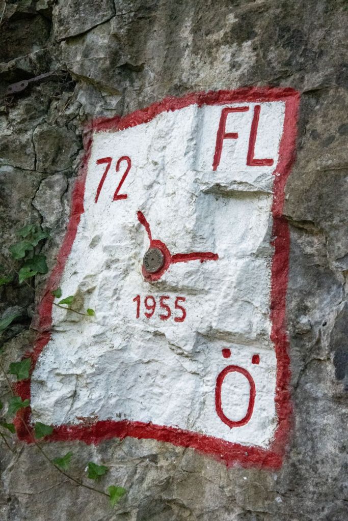
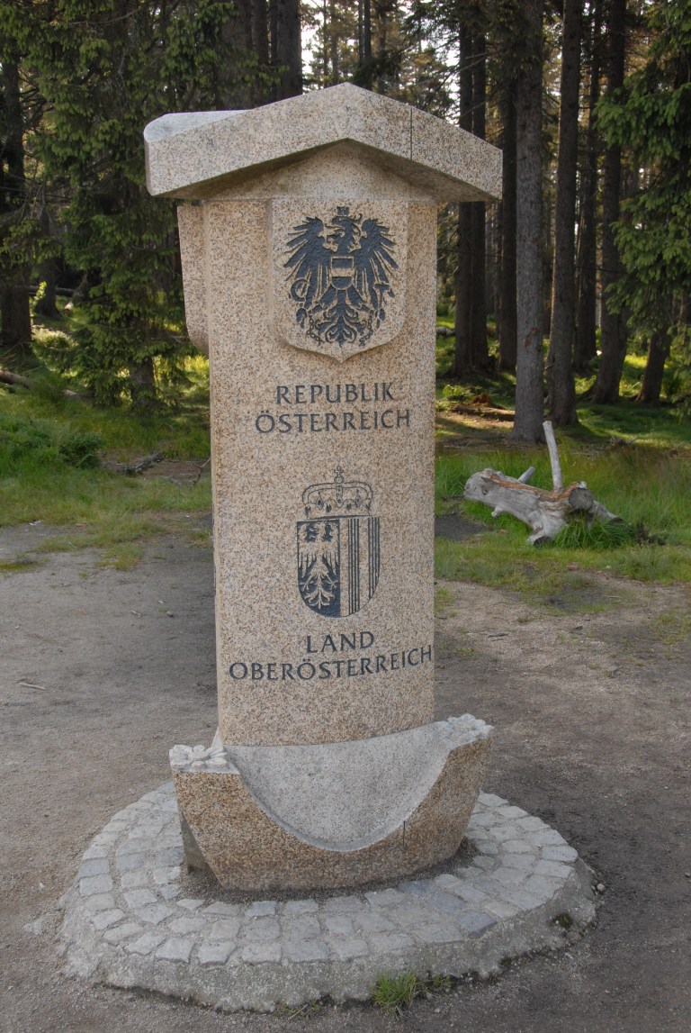
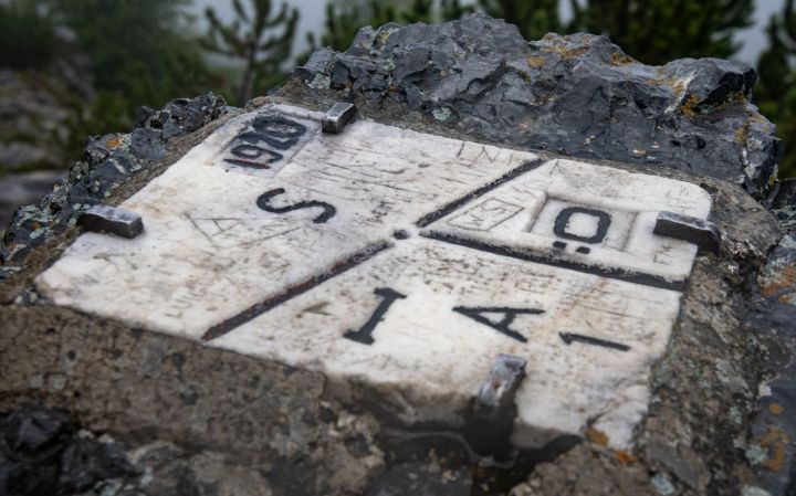
| 5 | ATCZDE | Austria – Czech Republic – Germany | 48°46’18″N 13°50’22″E | Dry | The tripoint is located in the Šumava National Park and the Bayrischer Wald nature area. Accessible from a car park near the Berggasthof Dreisessel and then walk along the Czech – German Border path to the tripoint, taking in the Bayerischer Plöckenstein on the way. The tripoint is marked by a three sided monument with national symbols on each side. Van der Giessen (2024) |
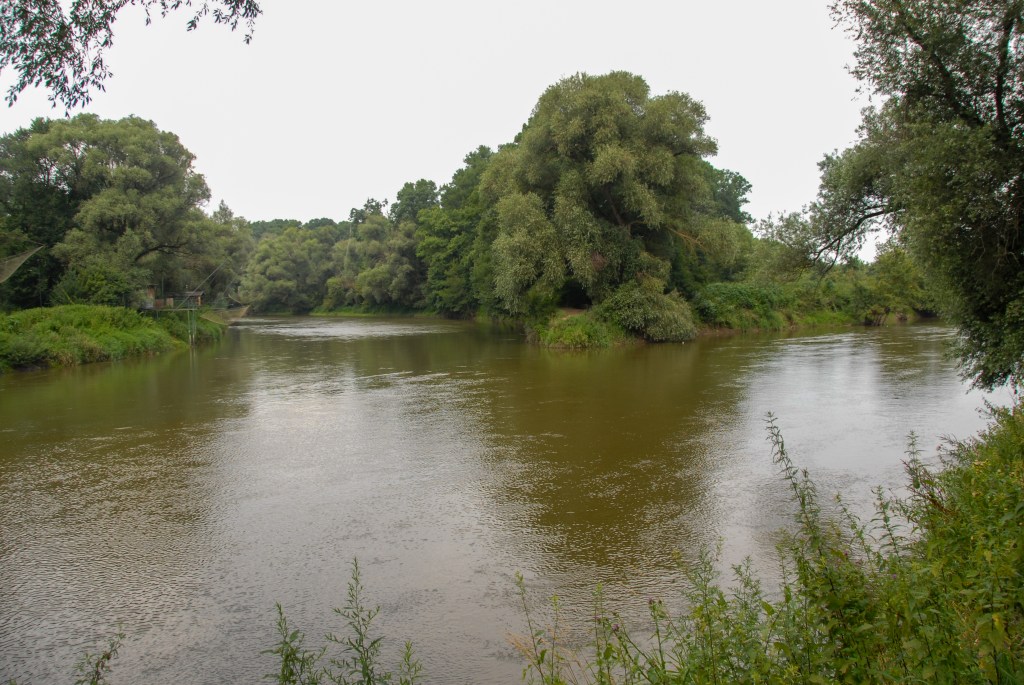
| 6 | ATCZSK | Austria – Czech Republic – Slovakia | 48°37’00″N 16°56’25″E | Wet | The tripoint is located at the confluence of the Thaya and March Rivers. It is accessible from either country. There were fishing huts on the Austrian and Slovak sides and signs and sculptures on the Slovak side. Van der Giessen (2024). |
| 7 | ATHUSI | Austria – Hungary – Slovenia | 46°52’9″N 16°06’50″E | Dry | The tripoint is located on small hill near the village of Trdkova. Located on the Raab-Mura watershed divide. A 4 sided tripoint monument was built in 1924. Prior to 1991 this point was on the Iron curtain. Now it is accessible from all 3 countries. It is the westernmost point of Hungary. Van der Giessen (2024) |
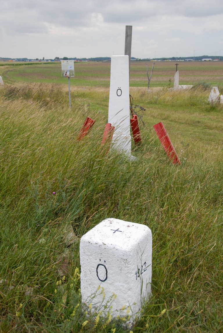
| 8 | ATHUSK | Austria – Hungary – Slovakia | 48°0’24″N 17°9’39″E | Dry | The tripoint is near the Slovak village of Čunovo, as well as the Hungarian village of Rajka and the Austrian village of Deutsch Jahrndorf. The tripoint is demarcated by a pillar. It bears the letters of each country marking its sides. At the location, you also find sculptures, borderposts from each country and information signs. Van der Giessen (2024) |
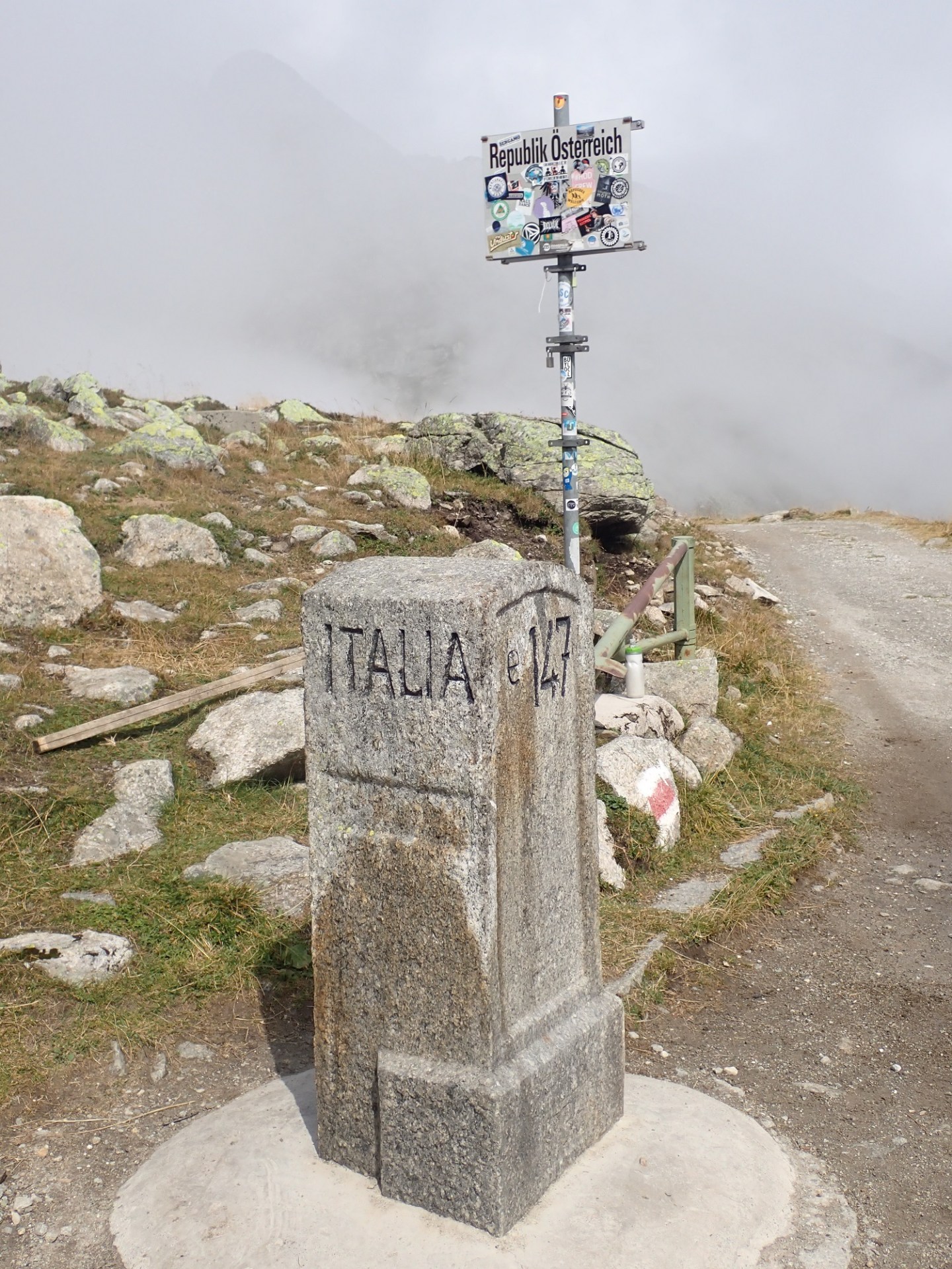
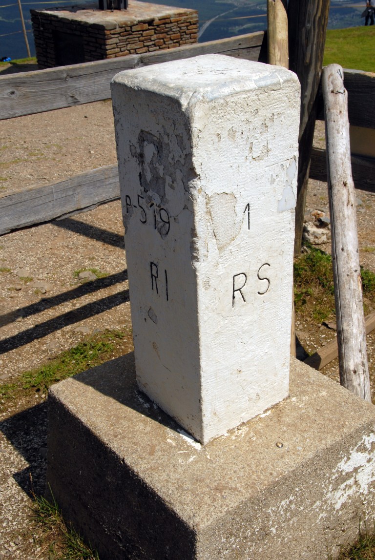
| 9 | ATITSI | Austria – Italy – Slovenia | 46°31’22″N 13°42’41″E | Dry | The tripoint is located at the summit of Peč Mountain (1509 m). Known in Slovenian as Tromeja, in German as Dreiländereck, and in Italian as Monte Forno. The three border area is seen as a symbol of peace and friendship among nations that, in the past, were politically divided. Large border stone as the tripoint monument and many other markers and monuments. Van der Giessen (2024) Wallis (2007) |
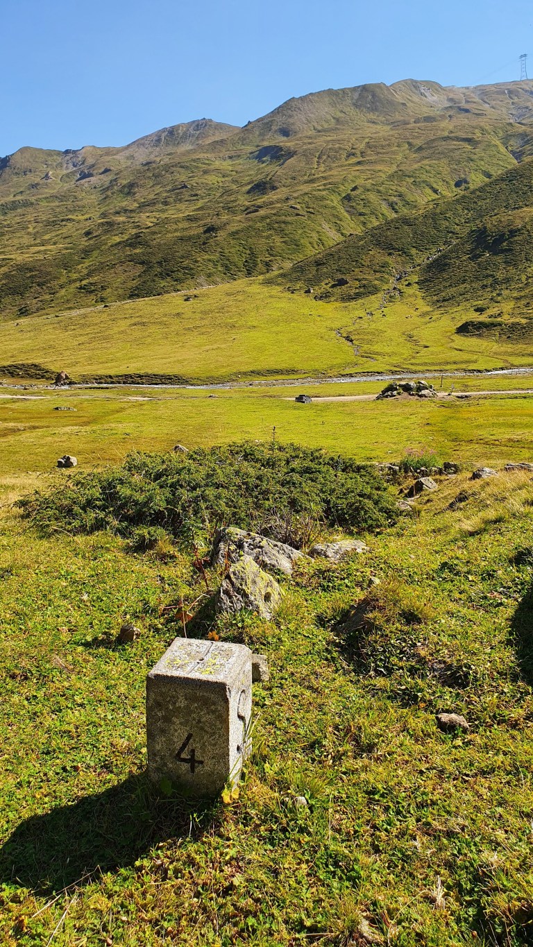
Tripoint Gallary
Please click on the photos below for full report of tripoint visit
Historical Tripoints

Site Navigation
In order to find your way around the site, either click on the links (text in red) or use the menus at the top and side of the pages. About leads you to the main areas of the site. The European Tripoints menu leads directly you to my TP visits reports whereas the Country Visits page allows you to choose which country to look at first..
Mobile Users Advice
Tables display correctly when holding your mobile horizontally.
To access the links to other pages please click on the 3 horizontal dots at the bottom of the page.

References
An interesting website with lots of reference to Austrian border markers. Details here or click the logo.
