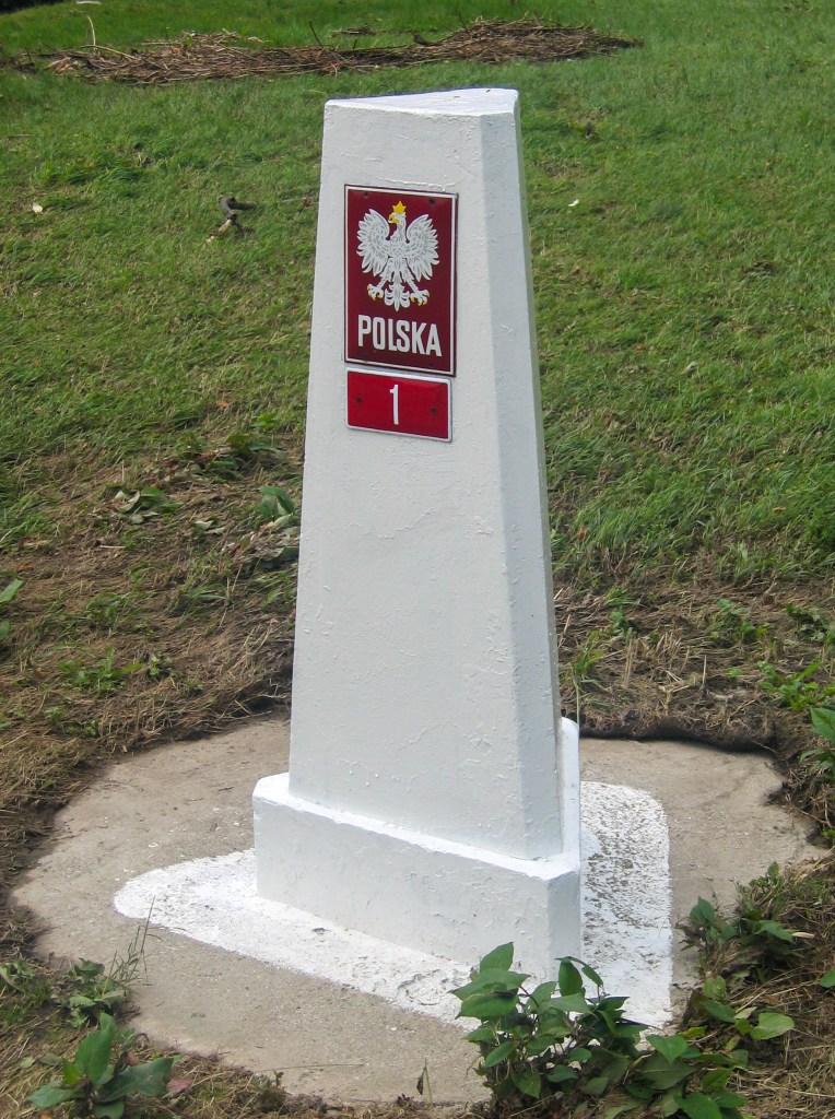

Poland lies at the physical centre of the European continent, approximately between latitudes 49° and 55° N and longitudes 14° and 24° E. Roughly a circle in shape, it is bordered to the north by the Baltic Sea, to the northeast by Russia and Lithuania, and to the east by Belarus and Ukraine. To the south the border follows the watershed of the Beskid (Beskidy), Carpathian (Karpaty), and Sudeten (Sudety) mountains, which separate Poland from Slovakia and the Czech Republic, while to the west the Neisse (Nysa Łużycka) and Oder (Odra) rivers define the border with Germany. Its current frontiers, stretching for 3,538 km, were drawn in 1945. Except for its southern mountainous regions, the country consists almost entirely of lowlands within the North European Plain.
Poland has changed in size since its inception. In 1550 it was the largest country in Europe, whereas between 1772 and 1918 it ceased to exist. The 20th Century was a particularly hard time for Poland, being initially partitioned between Russia and Germany it in effect shifted westwards, losing territory to Ukraine and gained territory from Germany. Its population during the WW2 dropped substantially with the near annihilation of its Jewish population. Poland did not regain its independence until 1989 following the trade union led opposition to the soviet domination of the country. It’s current borders were established in 1945.
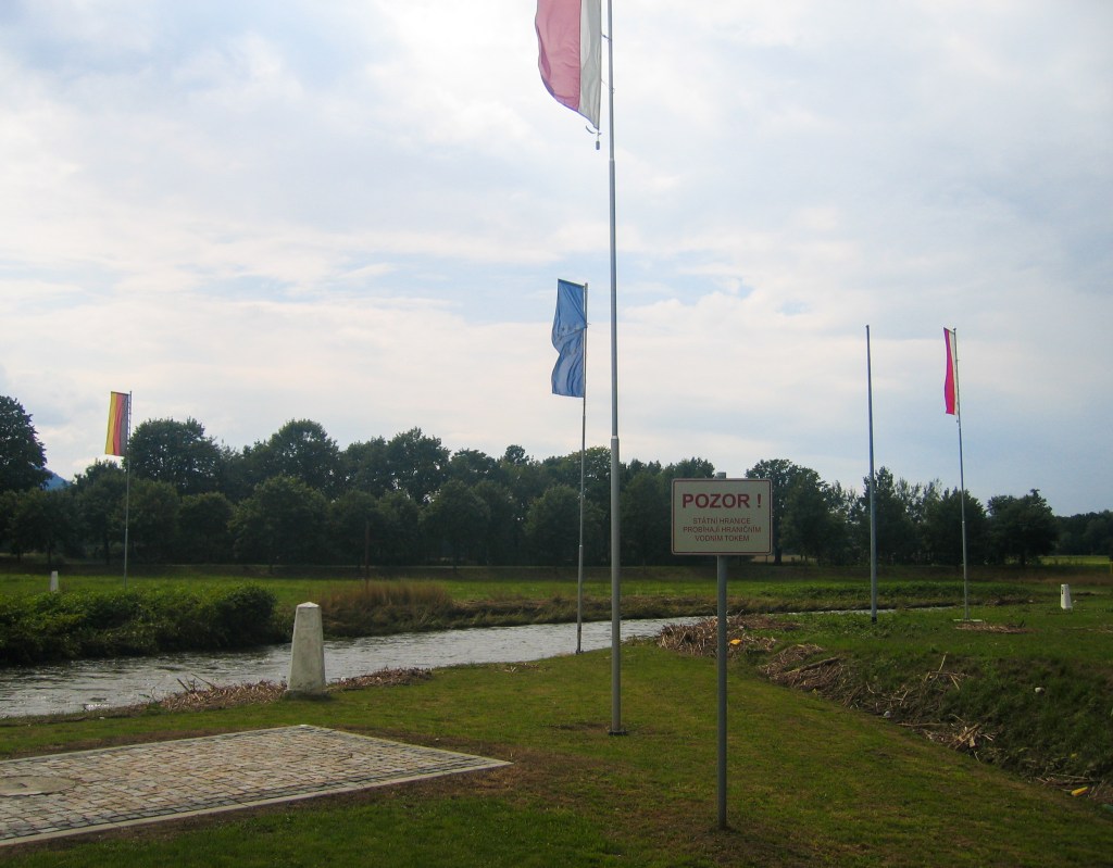
After Poland joining the EU in 2004, and the introduction of the Schengen common travel area in 2007, the border crossings with EU states (Germany, Czech Republic, Slovakia and Lithuania) were made redundant although infrastructure remains in place.
Poland is a member of several international organisations including the UN, NATO, the WTO, the Council of Baltic Sea States, the Visegrad Group, amongst others.
Border Facts:
Poland – Germany Border

The Germany–Poland border is currently the Oder–Neisse line. It has a total length of 467 km and has been in place since 1945. It stretches from the Baltic Sea in the north to the Czech Republic in the south. The map to the left however shows the evolution of that border over time and it’s movement prior to 1945. After World War II, the border was drawn from Świnoujście (Swinemünde) in the north at the Baltic Sea southward to the Czech Republic (then part of Czechoslovakia) border with Poland and Germany near Zittau. It follows the Oder–Neisse Line of the Oder (Odra) and Neisse (Nysa) rivers through most of their course.
This was agreed upon by the main Allies of World War II – the Soviet Union, the United States, and the United Kingdom, at the Soviets’ insistence, and, without any significant consultations with Poland (or Germany), at the Yalta Conference and Potsdam Conference. This border was a compensation to Poland for territories lost to the Soviet Union as a consequence of the Molotov–Ribbentrop Pact, and resulted in significant westward transfers of German population from the Recovered Territories, matching the Polish population transfers from the Kresy territories. It roughly matched the centuries-old, historical border between the Medieval Polish and German states.[3] It divided several river cities into two parts – Görlitz/Zgorzelec, Guben/Gubin, Frankfurt (Oder)/Słubice, Bad Muskau/Łęknica.
The border was recognized by East Germany in the Treaty of Zgorzelec in 1950, by West Germany in 1970 in the Treaty of Warsaw, and by reunified Germany, in 1990 in the German–Polish Border Treaty of 1990.
Poland – Czech Republic Border The current border between Poland and the Czech Republic was formally established on 1 January 1993, following the dissolution of Czechoslovakia. It extends 796 km, starting in the west, in the valley of Zittau at the border tripoint between Germany, the Czech Republic and Poland, crossing the Sudetes mountain range (Jizera Mountains, Giant Mountains, Orlické Mountains, Hrubý Jeseník), then passing near the Czech town of Opava and north of Ostrava. The border then cuts between the twin cities of Cieszyn in Poland and Český Těšín in the Czech Republic to join the tripoint between Poland, the Czech Republic and Slovakia. in the early part of the 20th Century there were territorial conflicts between the 2 countries where significant minorities of their respective countries lived.
Poland -Slovakia Border stretches from the eastern most point of Slovakia at the Tripoint PLSKUA westwards the tripoint CZPLSK. it is 541 km long and broadly follows the same line as the Czechoslovakia border with Poland. In 2005 there were a number of equal exchanges of land to meet practical and logistical needs of local residents near the Dukla pass and the Zilina region. Major features of this border are the Tatra Mountains and the Dunajec River gorge.
Poland – Ukraine Border is 535 km long. The border was first delineated in 1919 after the Ukrainian-Polish War and the subsequent 1920 Treaty of Warsaw. The demarcation of the border was revised after Ukraine became part of the Soviet Union in 1921. There were further adjustments after WW2 with Poland losing territory to the USSR. The current border was confirmed in 1992. The Poland-Ukraine border is the most often crossed eastern border of the EU. The border is heavily monitored as an external EU/Schengen border. There are a total of 11 border crossings on the border, most of which are comprised of road, rail, passenger, and cargo crossings.
Poland – Belarus Border is 418 km long, the border begins in the south, at the BYPLUA tripoint formed with the Belarus- Poland-Ukraine borders. The river Bug forms the first third of the border, which is similar to the Curzon Line. It ends in the north, with the intersection of the borders of Lithuania, Poland and Belarus BYLTPL. The border is heavily monitored as an external EU/Schengen border. On 25 January 2022, Poland began building a border wall on the border with Belarus to prevent illegal immigration in the aftermath of the Belarus–European Union border crisis, the barrier was completed on 30 June 2022.

An electronic barrier 206km in length mounting 3,000 cameras with night vision and movement sensors, was added to the fence between November 2022 and early summer 2023 at a cost of EUR 71.8 million.
The border runs along the administrative borders of two Voivodships Podlaskie and Lubelskie in the Polish side and Grodno and Brest Vobłasć in the Belarusian side.
Poland – Lithuania Border is 104 km long, the border begins in the East at the tripoint formed by the borders of Belarus, Poland and Lithuania, initially closely following the Marycha river. It takes a north-westerly direction and crosses the Gaładuś lake. The border comes to an end at the crossing of the borders of Russia (exclave of Kaliningrad), Poland and Lithuania. Cross border cooperation is on going in the areas of energy and both countries are members of the Interreg IV A “Lithuania–Poland” operational programme focusing on sustainable development.
Poland – Russia Border is a nearly straight-line division between the Republic of Poland (European Union member) and the Russian Federation (CIS member) exclave of Kaliningrad Oblast, a region not connected to the Russian mainland. It is 232 kilometres long. Its current location and size were decided as part of the aftermath of World War II. The Poland–Russia borders were confirmed in a Polish-Russian treaty of 1992 (ratified in 1993). In 2004 it became part of the boundary of the European Union and Commonwealth of Independent States. As of 2008, there were three road crossings (Gołdap-Gusev, Bezledy-Bagrationovsk and Gronowo-Mamonovo) and three train crossing (Braniewo-Mamonovo, Skandawa-Zheleznodorozhny and Głomno-Bagrationovsk).
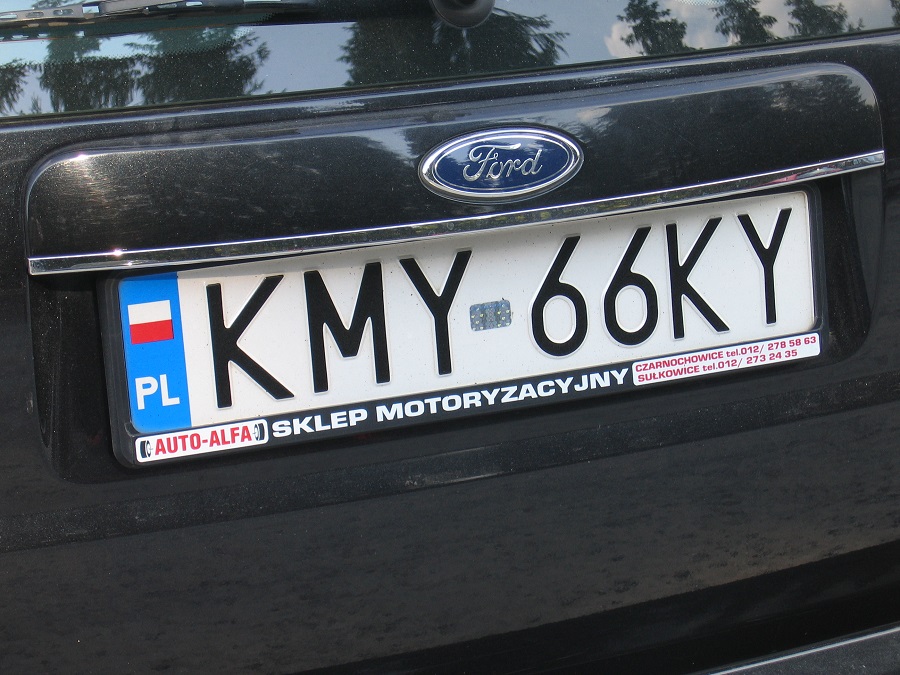
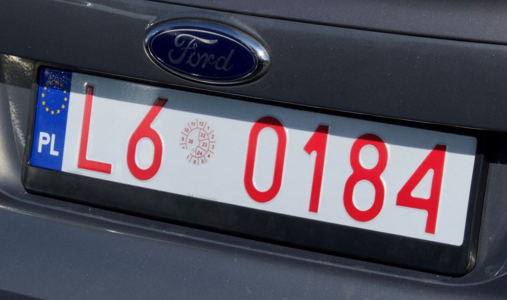
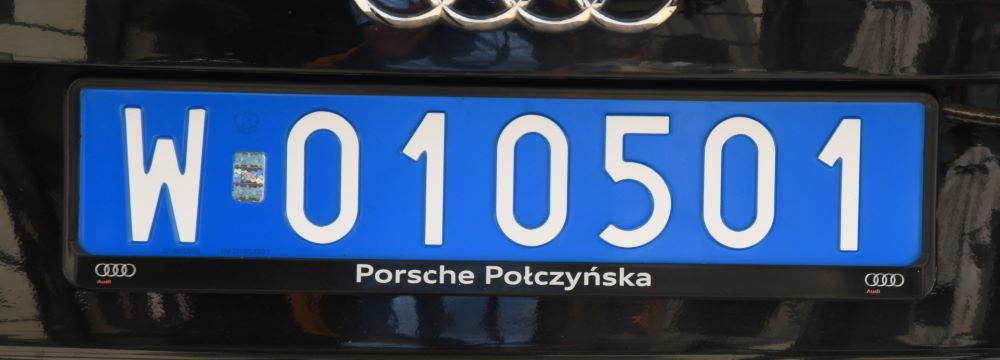
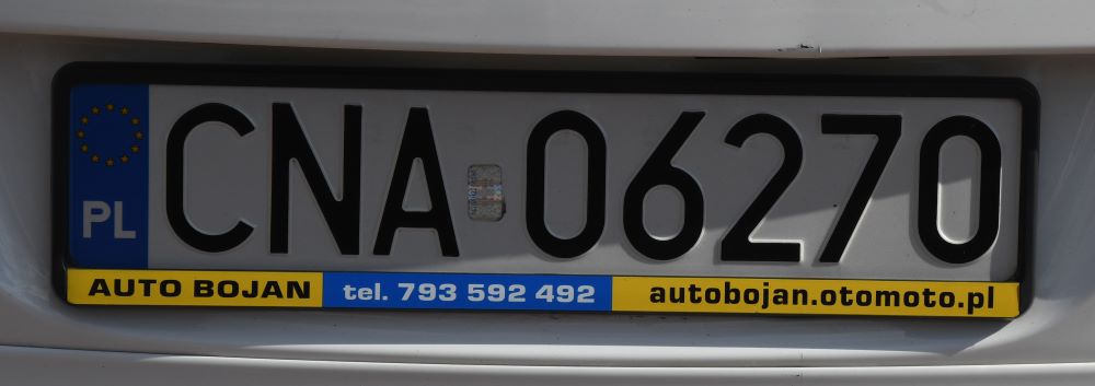
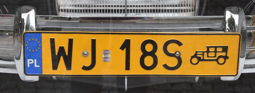
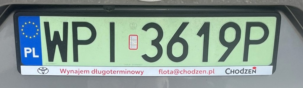
Polish Registration Plates

Polish Passport Stamps

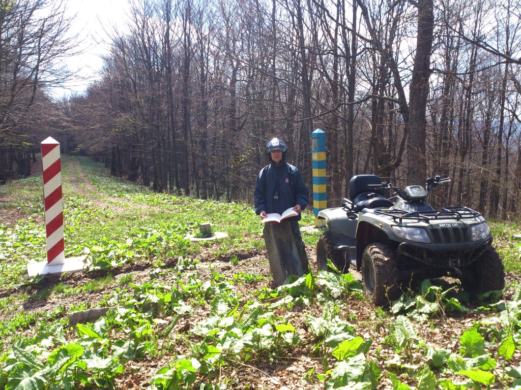
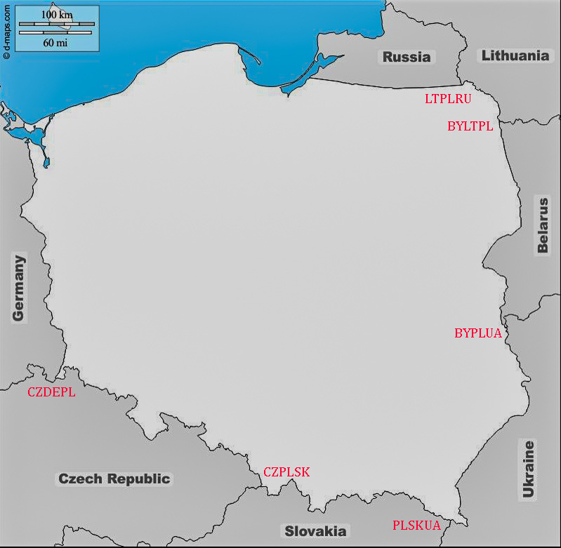
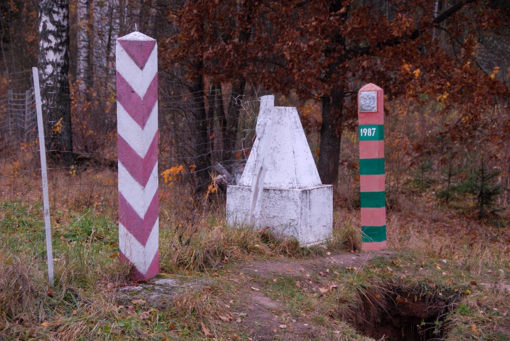
Polish Tripoints
| number | Name | COUNTRies | TYPE | COORDINATES | LINKS |
|---|---|---|---|---|---|
| 1 | BYLTPL | Belarus–Lithuania– Poland | Wet | 53°57’22″N 23°30’54,1″E | The tripoint is south of the Polish village of Stanowisko and can be approached from either Poland or Lithuania. The Mara river which marks the border curves at this point with a portion of Lithuania protruding towards the other 2 countries. There are 3 BM#1789, 1 in each country. Deeleman (2015) Krogh (2003) Wallis (2007) |
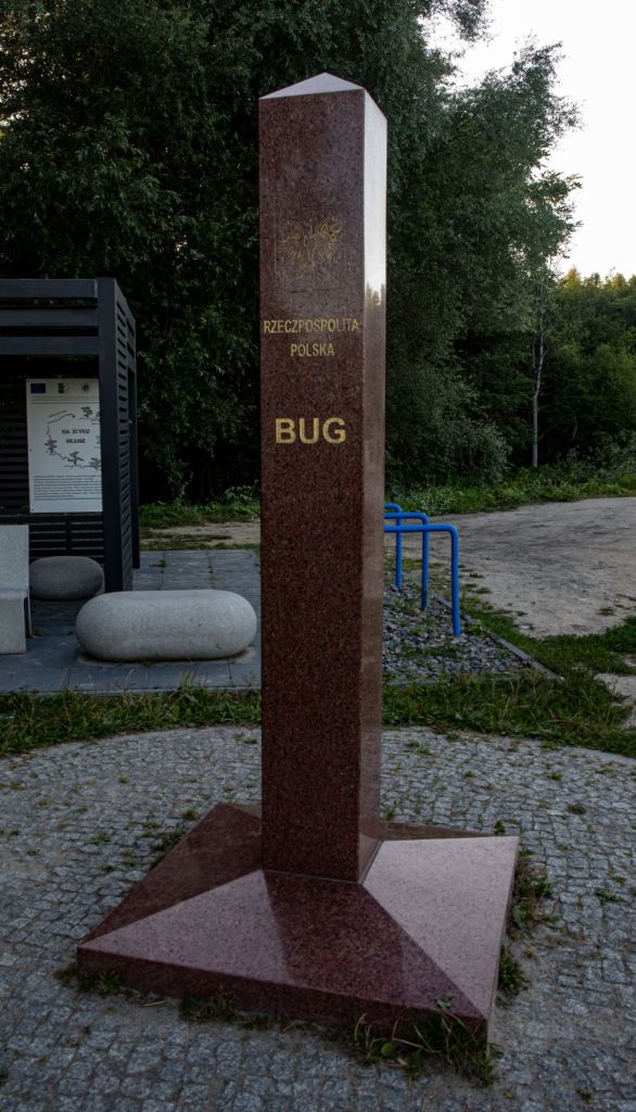
| 2 | BYPLUA | Belarus–Poland– Ukraine | Wet | 51°30’29″N 23°37’04″E | The tripoint is easily accessible from the Polish village of Orchówek, the tripoint is located at the intersection of a line running through the middle of the Bug River (Western Bug) with a line constituting an extension of the southern edge of the Mościcki Canal. There are 3 TP monuments, The UA segement was fortified with barbed wire and earthworks. PL/BY BM#001 visible. Krogh Van der Giessen (2024) |
| 3 | CZDEPL | Czech Republic–Germany–Poland | Wet | 50°52’14″N 14°49′ 24″E | The tripoint lies at the confluence between the Neisse river and the Ullersforfer Creek in the centre of the Neisse. The bordering towns are Hrádek nad Nisou (Czech Republic), Zittau (Germany) and Bogatynia (Poland). The tripoint is marked by individual grand border markers in each country plus additional monuments and flags. There are plans for a tripoint monument linking the 3 countries by a 3 way bridge. Krogh (2012) |
| 4 | CZPLSK | Czech Republic–Poland– Slovakia | Both | 49°31’02″N 18°51’03″E | The tripoint is located between Hrčava (CZ), Jaworzynka (PL) and Vyšny Koniec (SK). The actual tripoint is marked by a monument at the point 2 streams meet. It is located underneath a bridge which spans the Polish – Slovak border. The whole area has a park feel to it with walkways, signs and monuments bearing the symbols of each country. Krogh (2012) Wallis (2006) |
| 5 | LTPLRU | Lithuania–Poland– Russia | Dry | 54°21’48″N 22°47’31″E | This tripoint has added interest not only because of the proximity to the Russian exclave of Kaliningrad but that the point also forms the division between 2 Polish administrative divisions: Podlaskie Voivodeship and Warmian-Masurian Voivodeship, a quadripoint of sorts. In 2009 when I visited the old style tripoint monument, in 2010 a new granite monument was built and the area landscaped. In 2024 there are fortification to separate the RU section. Deeleman (2015) Krogh (2011) Wallis (2007) |
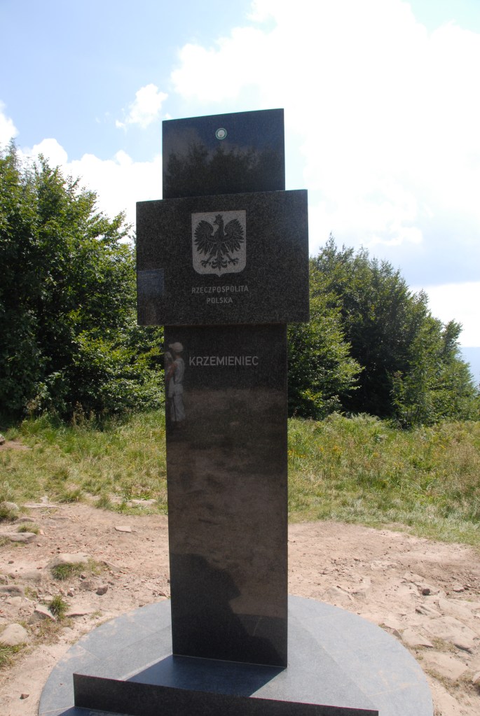
| 6 | PLSKUA | Poland–Slovakia– Ukraine | Dry | 49°5’17″N 22°33’56″E | The tripoint is located at Kremenec/Krzemieniec/Кременець (1221 m), in the Bukovec Mountains, north-east Slovakia. There are a few hiking trails from Nova Sedlica, the most eastern settlement in Slovakia and is a popular walk. The tripoint is marked by a marble monument and is also the easternmost point of Slovakia and the highest peak of the border between Slovakia and Ukraine. Deeleman (2015) |
Tripoint Gallery


Site Navigation
In order to find your way around the site, either click on the links (text in red) or use the menus at the top and side of the pages. About leads you to the main areas of the site. The European Tripoints menu leads directly you to my visit reports whereas the Country Visits page allows you to choose which country to look at first.

Mobile Users Advice
Tables display correctly when holding your mobile horizontally.
To access the links to other pages please click on the 3 horizontal dots at the bottom of the page.