
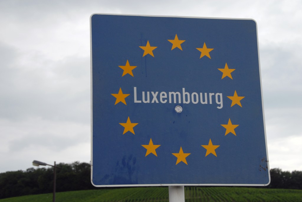
Luxembourg (French: Luxembourg; German: Luxemburg), officially the Grand Duchy of Luxembourg, is a landlocked country in Western Europe. It is bordered by Belgium to the west and north, Germany to the east, and France to the south. Its capital, Luxembourg City, is one of the four official capitals of the European Union (together with Brussels, Frankfurt, and Strasbourg) and the seat of the Court of Justice of the European Union, the highest judicial authority in the EU. It has strong connections with both France and Germany whose languages have official status along with Luxembourgish. It is a constitutional monarchy and Grand Duchy.
A Duchy since 1354, Luxembourg had long belonged to the Netherlands before becoming independent in 1890. The current demarcation of the border was set by the Vienna accords in 1815 and several border agreements between the Netherlands and Prussia in 1815 and 1816. During World War II, Germany annexed Luxembourg, which reverted to independent status in 1944. Luxembourg is a developed country, with an advanced economy and one of the world’s highest GDP per capita.
With an area of 2,586 square kilometres, it is one of the smallest sovereign states in Europe. In 2019, Luxembourg had a population of 626,108, which makes it one of the least-populous countries in Europe.
Luxembourg is a founding member of the European Union, OECD, United Nations, NATO, and Benelux.
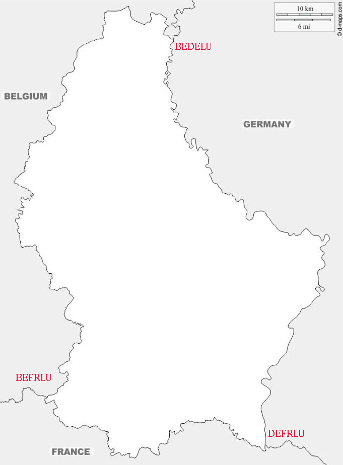
Border Facts: Luxembourg borders Belgium for 148 kilometres to the west and north, France 73 km to the south, and Germany 138 km [86 mi]) to the east.
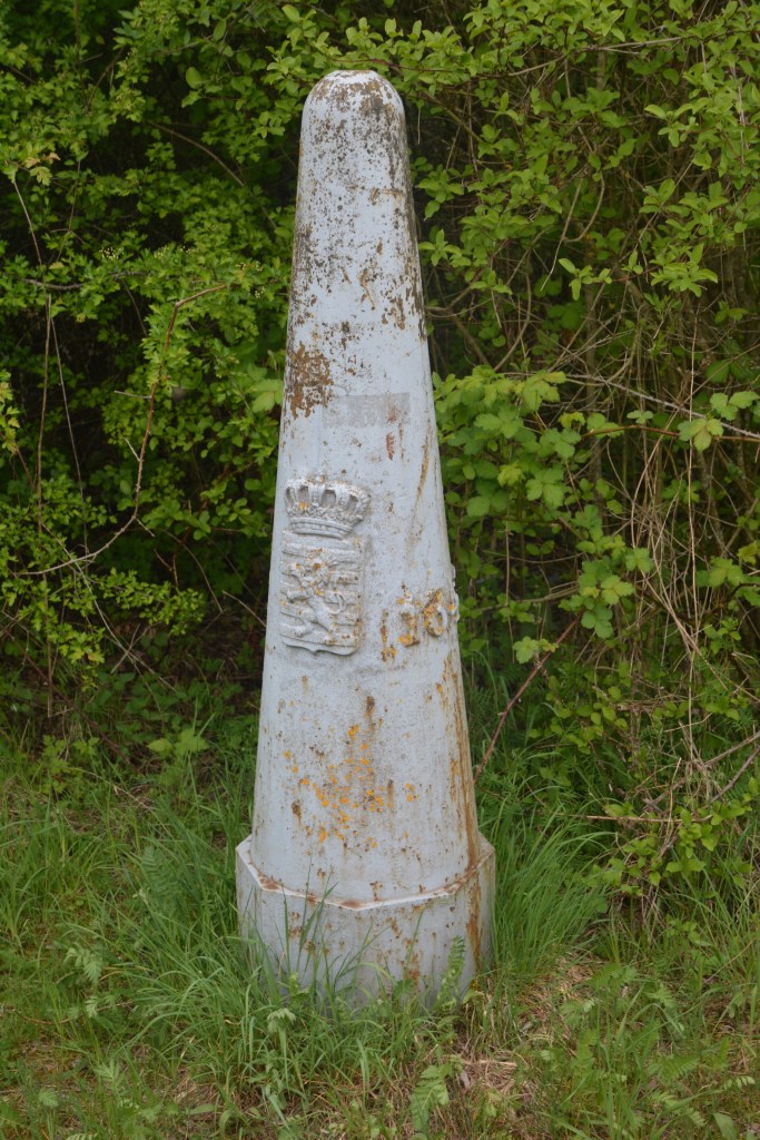
Luxembourg – Belgium border stretches over 148 km. It begins in the south at the tripoint between the Belgian, Luxembourgish and French borders BEFRLU, and ends in the north at the intersection of the German, Belgian and Luxembourgish borders BEDELU. The boundary line is noticeably S-shaped and is indicated by 507 border markers
Luxembourg – Germany border separates the German states of Saarland and Rhineland-Palatinate from the Grand Duchy of Luxembourg. The demarcation follows watercourses in its entirety: the Moselle in its southern part, the Sauer in the middle, and the Our in the North. The border begins at DEFRLU in the South near Schengen and ends at BEDELU at Ouren.
The boundary treaty of 1984 deals with matters of detail concerning the demarcation of the border. In essence the treaty is based on the 1816 treaty between Luxembourg and Prussia which established joint sovereignty over the rivers. Bridges are jointly owned and maintained.
Luxembourg – France border is 73km long and characterised by a high degree of cross border cooperation with citizens of both countries working in the other. It begins in the west at the BEFRLU tripoint at the junction of the Belgian municipality of Aubange, the French commune of Mont-Saint-Martin and the Luxembourgish commune of Pétange. This point is located in the Chiers river. It then follows a general easterly direction to the DEFRLU Germany-France-Luxembourg tripoint, at the junction of the German municipality of Perl, the French commune of Apach and the Luxembourgish commune of Schengen. This point is located in the Moselle.
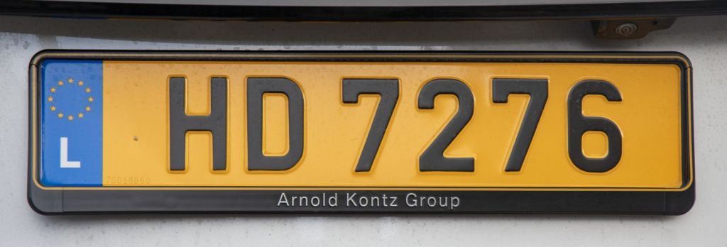
Luxembourg Registration Plates
Luxembourg Tripoints
| NUMBER | Name | Countries | Type | Coordinates | LINKS |
|---|---|---|---|---|---|
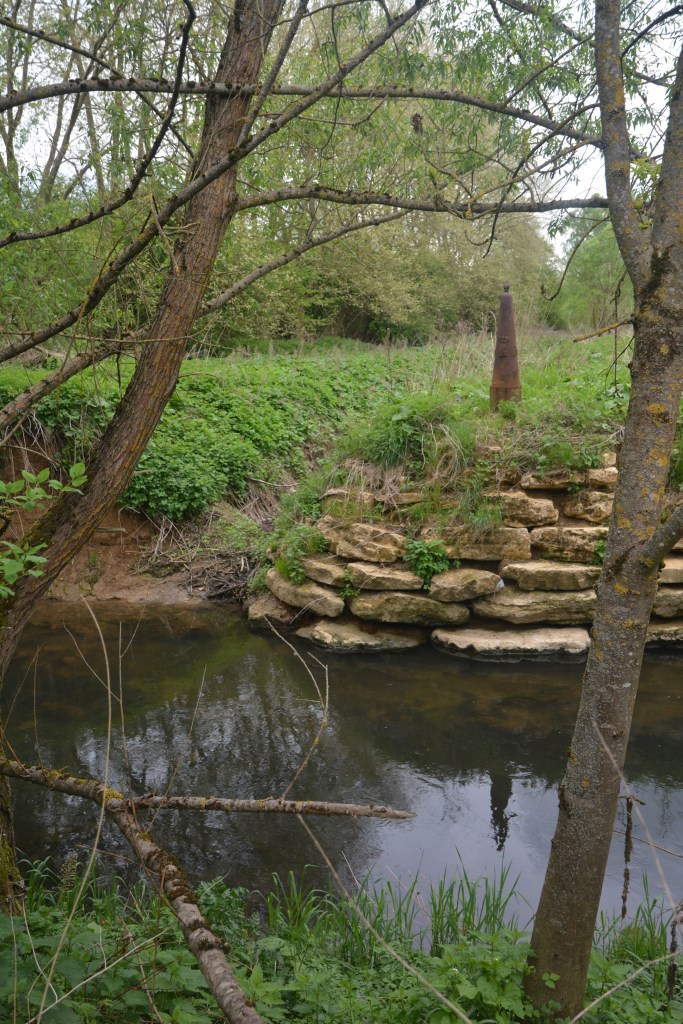
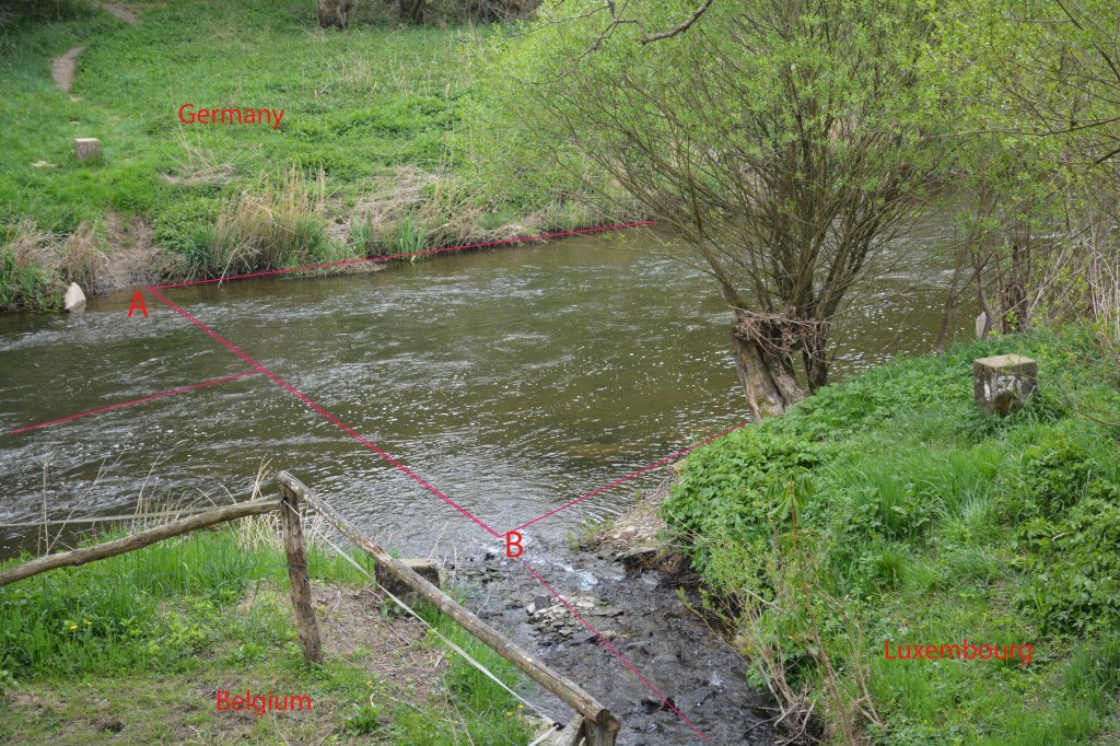
| 1 | BEDELU | Belgium – Germany –Luxembourg | Wet | 43°31’33″N 19°13’15″E | The Belgium, Germany and Luxembourg tripoint is complex because it technically is not a single point but actually 3. This is because the river Our south of the point where the borders meets is jointly owned and administered by Germany and Luxembourg. BEDELU is in the center of the river, with 2 technical tripoints on either side. South of the triline the condominium jointly exists between Germany and Luxembourg. North of the triline the Belgium – Germany border follows the Thalweg. Krogh (2012) |
| 2 | BEFRLU | Belgium – France – Luxembourg | Wet | 49°32’47″N 5°49’7″E | The wet tripoint is situated in industrial wasteland near Radange (LU), Athus (BE) and Mont-Saint Martin (FR). BE and LU border markers. No FR marker, The TP is at the confluence of the Bruehl creek into the Chiers river. Van der Giessen (2024) Wallis (2008) |
| 3 | DEFRLU | France – Germany – Luxembourg | Both | 49°28’10″N 6°22’6″E | Like BEDELU the borders at this triline (not tripoint) are complicated because of the condominium arrangements regarding the shared ownership of the Moselle between Germany and Luxembourg. Above the triline the river is shared, hence like BEDELU there are 3 points of interest along the 114m triline, 1 at each end and one in the middle. Schengen is also of interest Krogh (2003) Van der Giessen (2024) |
Tripoint Gallery


Site Navigation
In order to find your way around the site, either click on the links (text in red) or use the menus at the top and side of the pages. About leads you to the main areas of the site. The European Tripoints menu leads directly you to my visit reports whereas the Country Visits page allows you to choose which country to look at first.

Mobile User Advice
Tables display correctly when holding your mobile horizontally.
To access the links to other pages please click on the 3 horizontal dots at the bottom of the page.

