
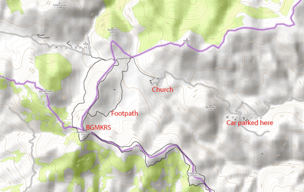
This was the first of 3 tripoints that I visited in July 2022. None of the Bulgarian tripoints had either been visited at all, or not for many years by the border enthusiasts I knew and there was very little online information about whether it was indeed possible or which was the best way to get there. The Bulgaria – North Macedonia – Serbia tripoint on the face of it was the most straightforward with a drive to Žeravino, a remote Bulgarian hamlet and onto St George’s Church before walking up to the summit of Shulep Kamak Peak (1337m). The peak was once described as the westernmost point of Bulgaria, however more advanced mapping techniques now puts that point at the col of Vrashka chuka (43.805688°N 22.354275°E).
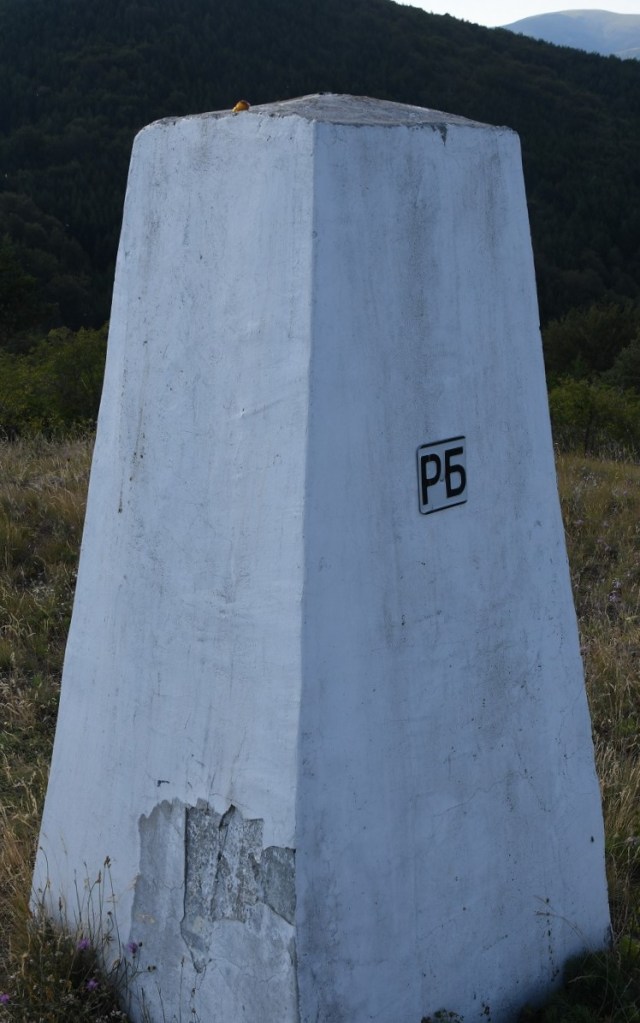
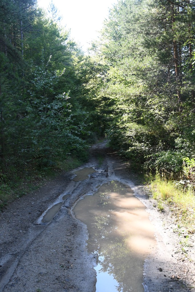
The road became increasingly bad before the village, and impossible to drive without a high clearance 4×4 after it. After leaving the car earlier than planned we walked to the church and onwards to the summit on well defined if overgrown paths. There was not much evidence many people visited this spot. At the summit there were great views of the 3 countries and a number of border markers. The border between Bulgaria and Serbia was well demarcated, with main and intermediate border markers. The border between Bulgaria and North Macedonia was less well demarcated with main border markers some distance apart.
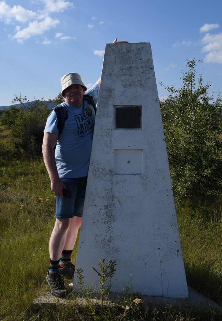
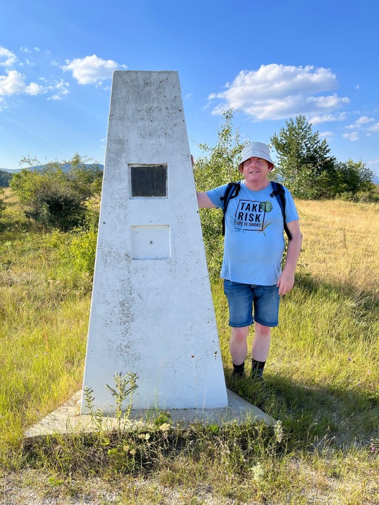
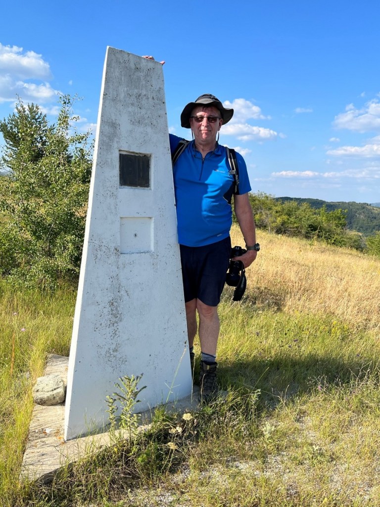
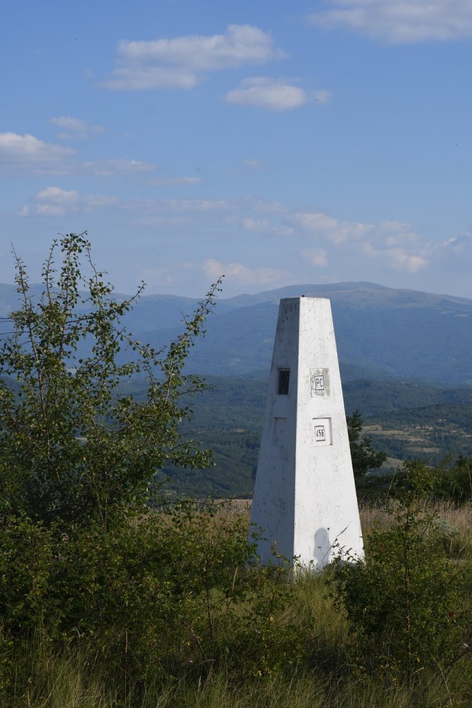
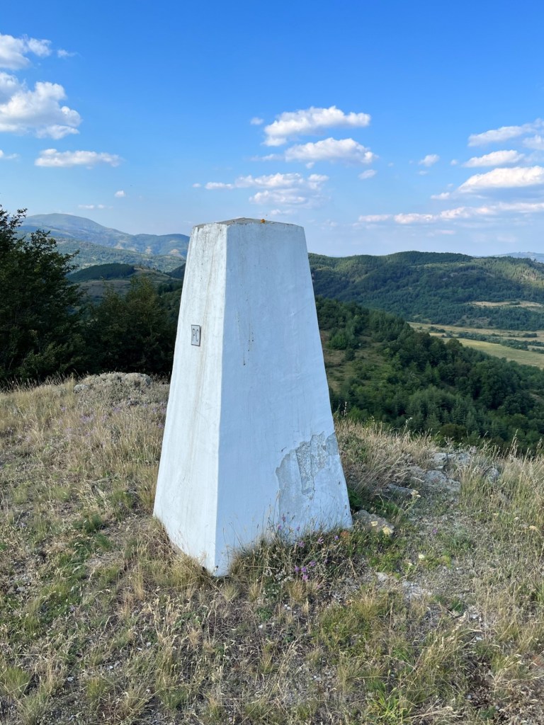
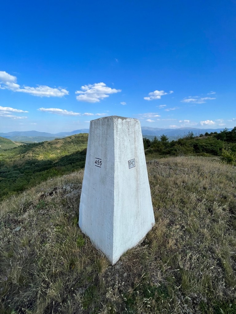
The Tripoint
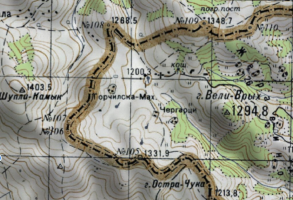
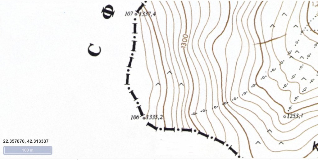
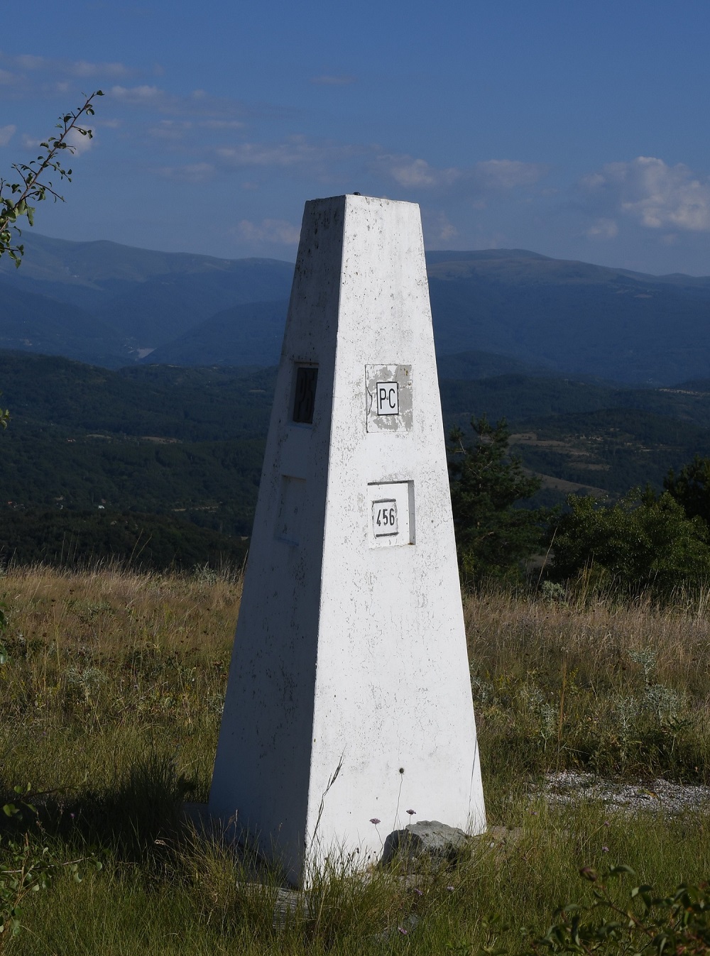
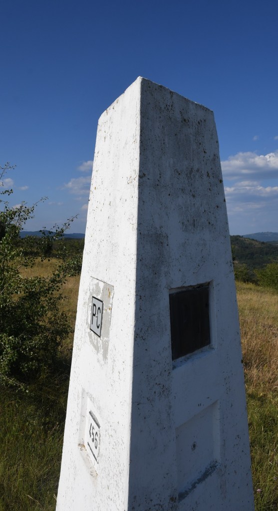
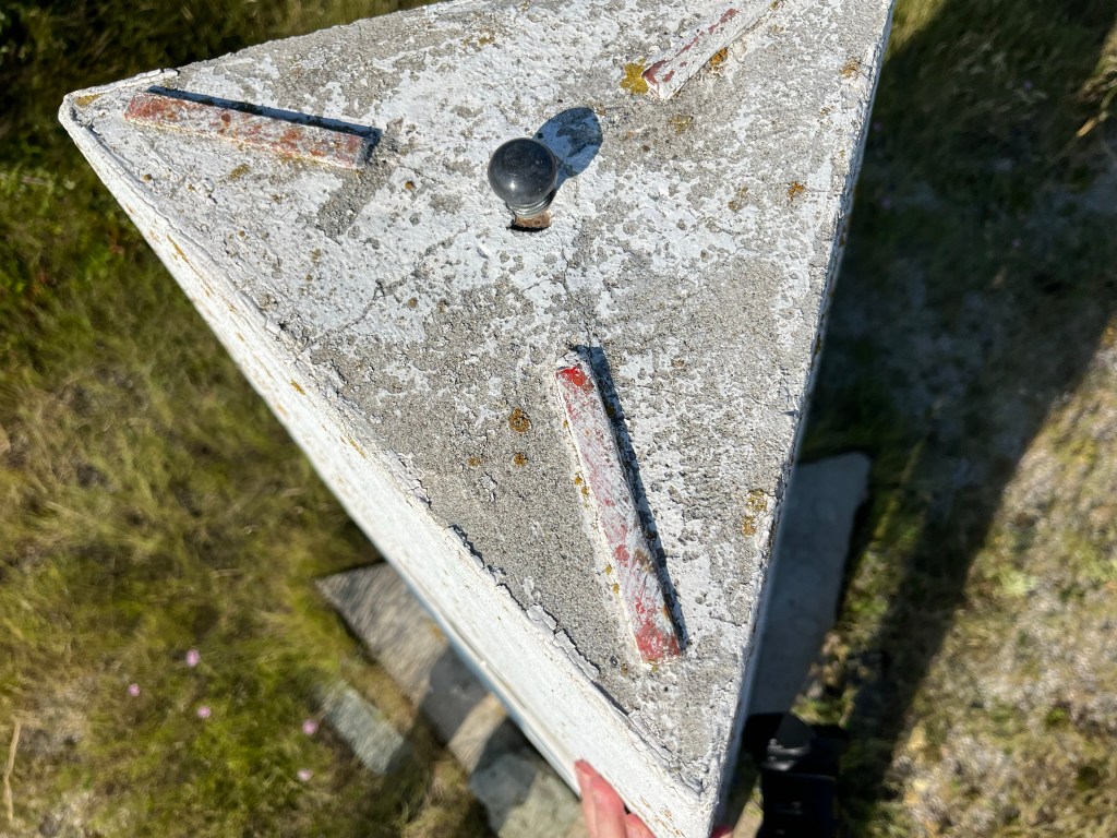
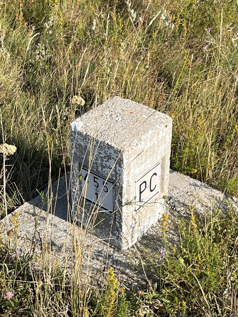
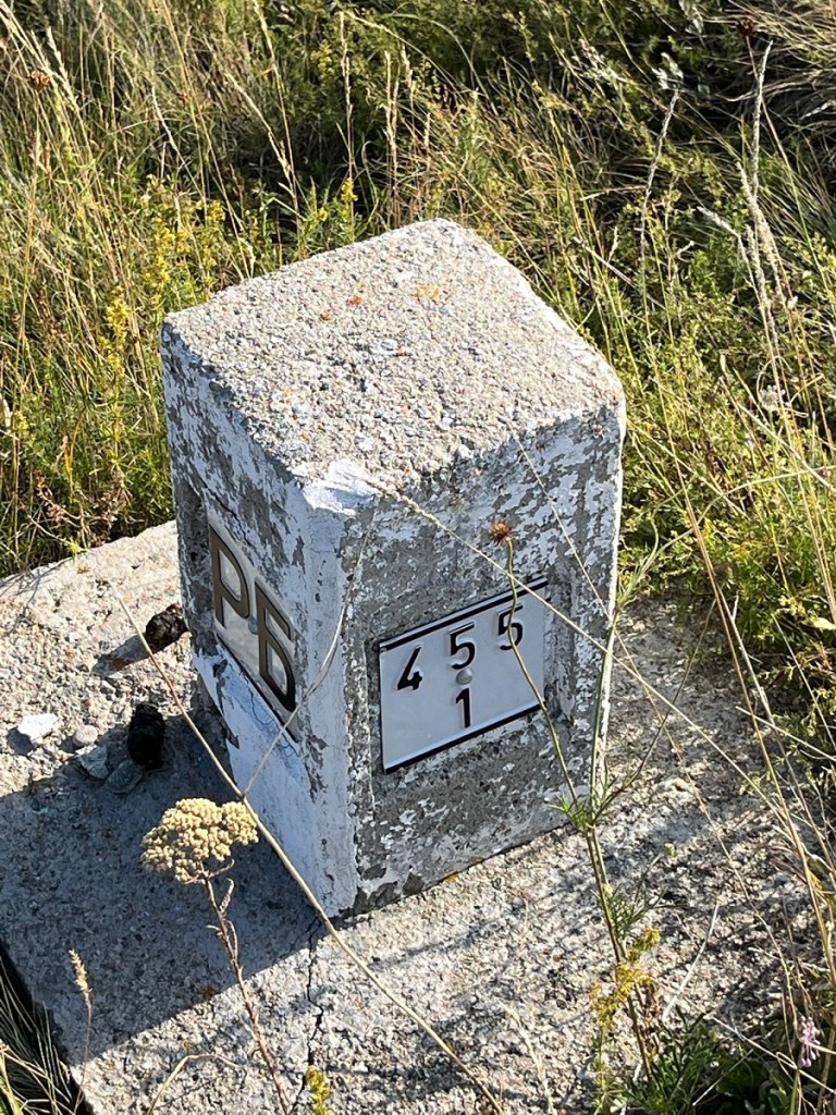
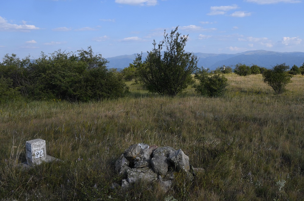
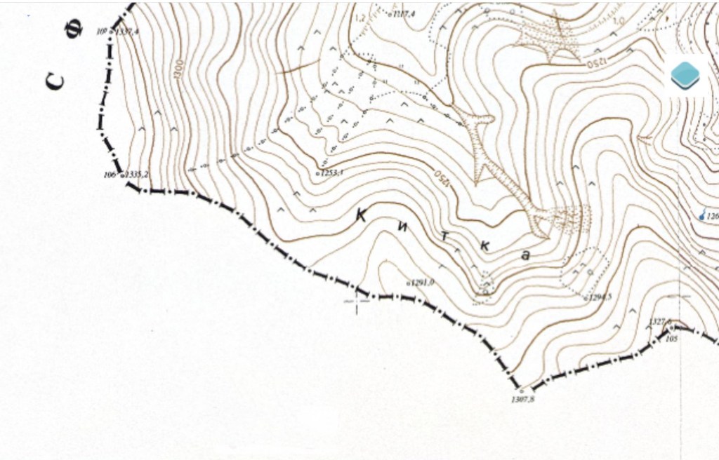
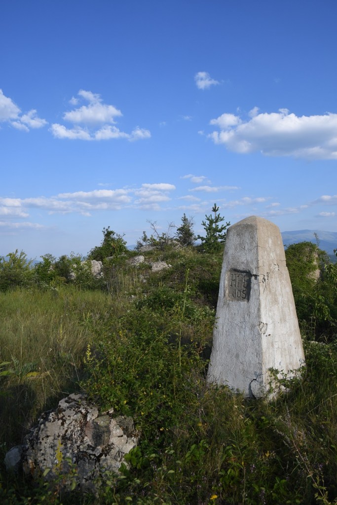
The tripoint is on the top of Shulep Kamak Peak, marked on the Bulgarian map below as border marker #106. in between that point and #107 there were intermediate markers. On the ground however, the border markers had different numbering to that on the map, the BG/MK marker BM #105 was the same, but the BG/RS markers were different.
Other border markers
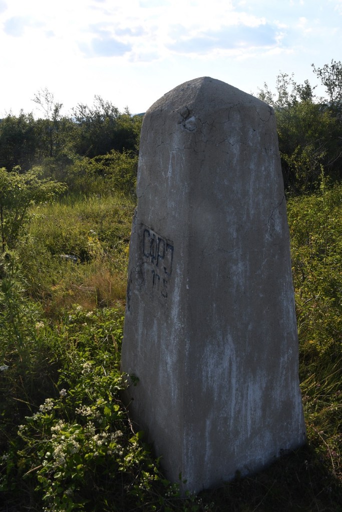
We had planned to locate and “bag” BM #107 and if possible BM #105, which there was no photographic record on the internet. What we were not aware of until our visit was the intermediate border markers between BM #106 and BM #107.
Border marker #107 and the intermediate markers.
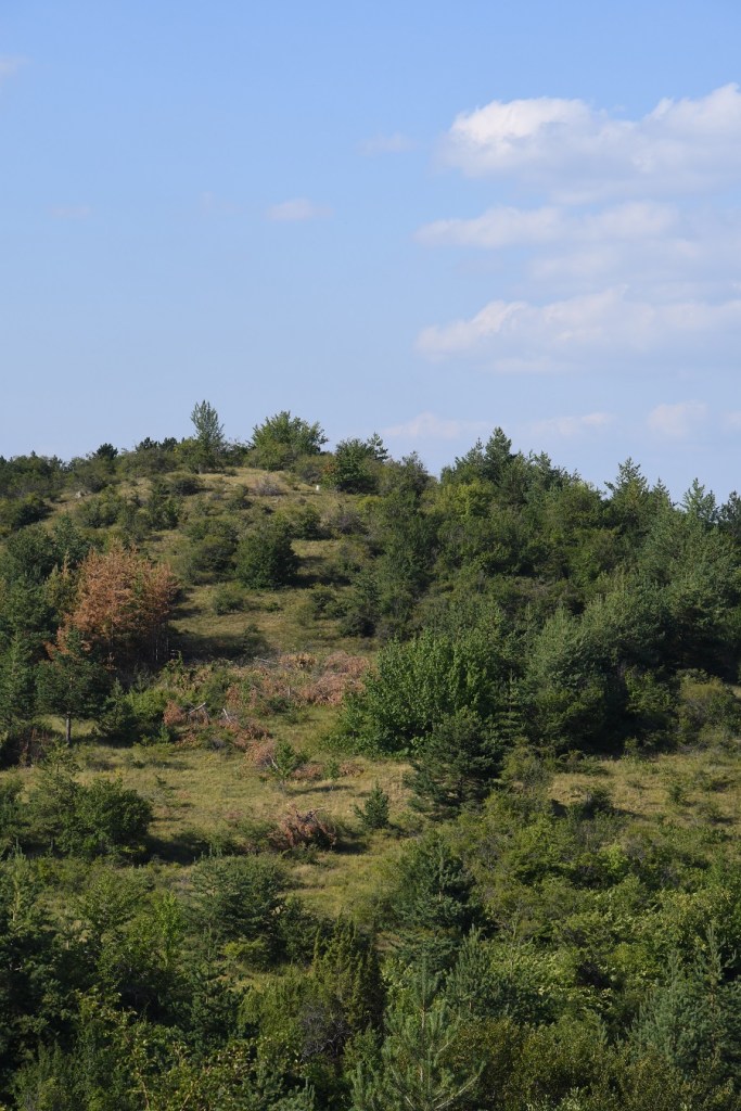
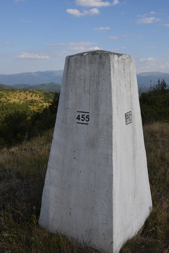
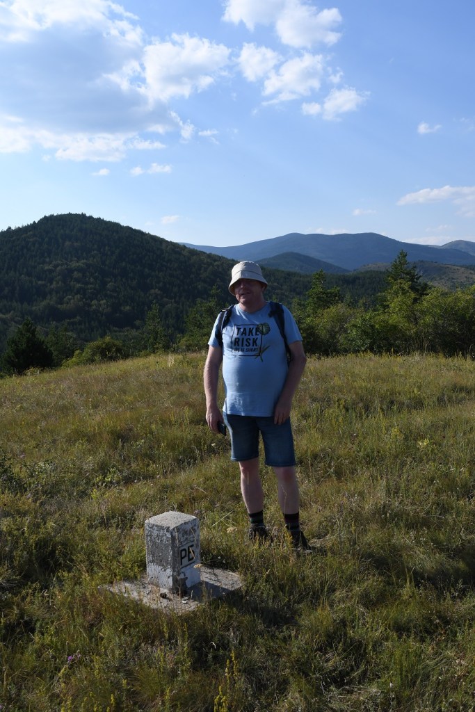
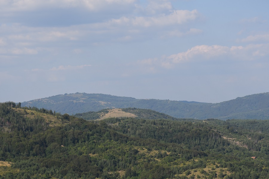
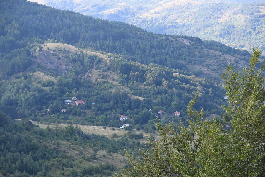
Great Views!!!
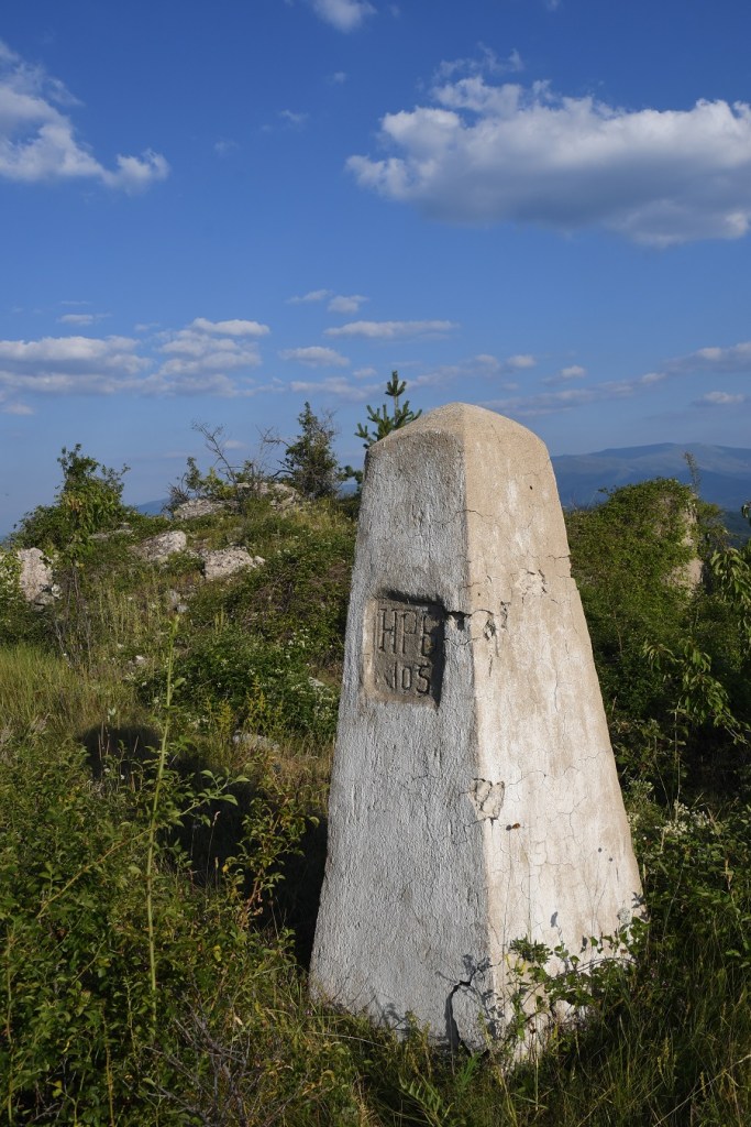
Border marker BM #105

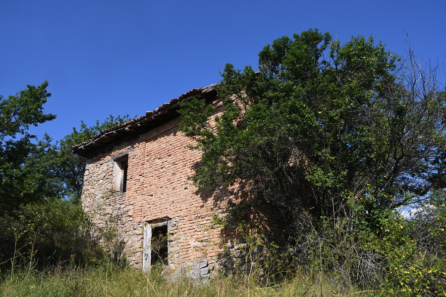
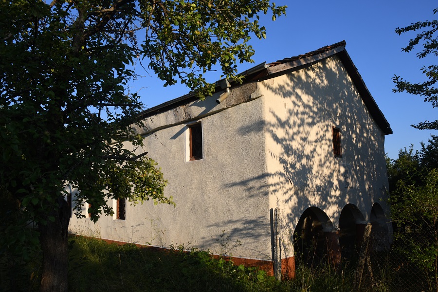
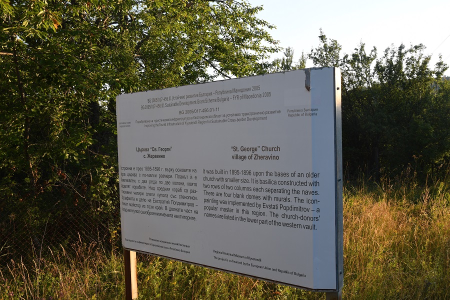
The Village and Church
Both the village and the church had a neglected feel about it, the road was clearly used, but no money had been spent on its improvement. It seemed an age after we left the area that we thought we had reached a more modern area.
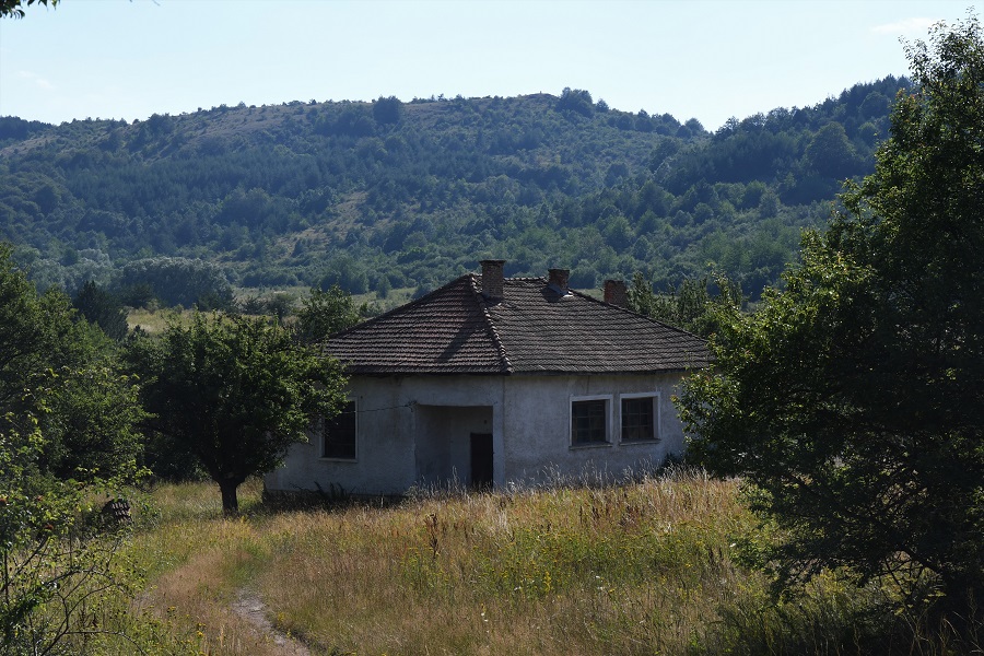
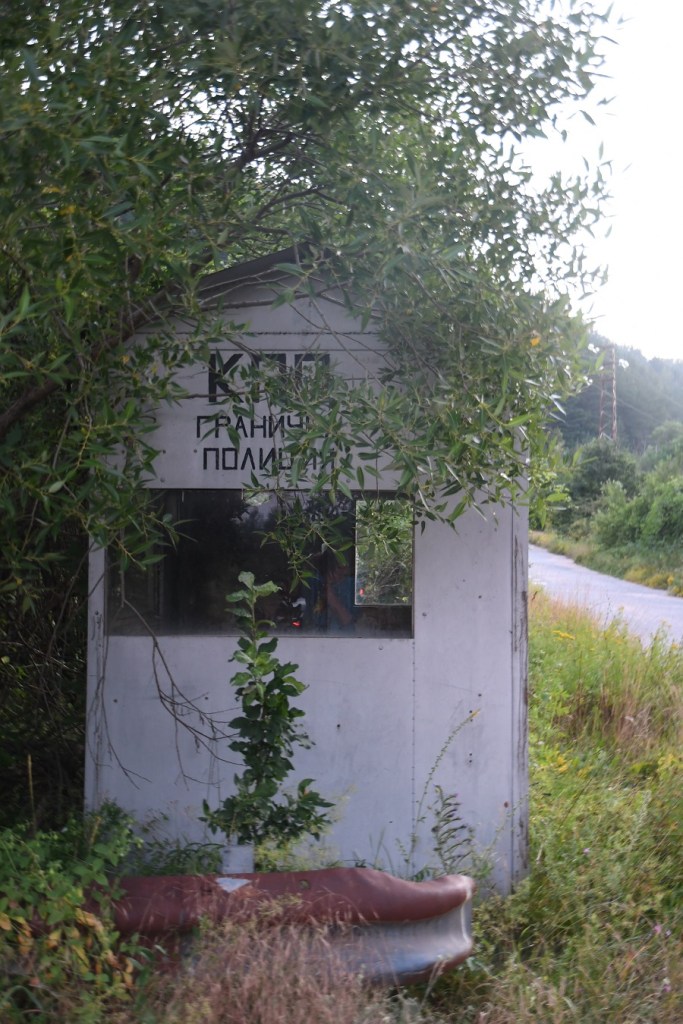
Disused Police Posts
In the planning phase of this trip there was reference to security posts on a hiking website. When we found them, they appeared not to have been used for some time.


Date of Visit: 25 July 2022
