
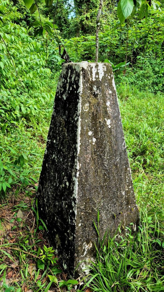
The Gracias a Dios border marker is a landmark that marks the border between Belize and Guatemala. It’s located at Gracias a Dios Falls, which is part of the Sarstoon River that separates the two countries.
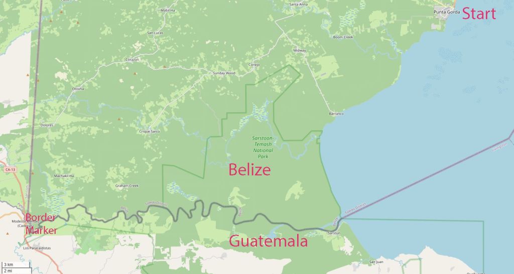
The Belize – Guatemala border is an almost straight line 266 km long, close to the 89th meridian west, The border between Belize and Guatemala is defined in Article I of the Wyke–Aycinena Treaty of 1859:
Beginning at the mouth of the River Sarstoon in the Bay of Honduras, and proceeding up the mid-channel thereof to Gracias a Dios Falls; then turning to the right and continuing by a line drawn direct from Gracias a Dios Falls to Garbutt’s Falls on the River Belize, and from Garbutt’s Falls due north until it strikes the Mexican frontier and forms the Belize, Guatemala and Mexico tripoint (BZGTMX) at the Aguas Turbias monument. This was the third of the 3 border markers we visited on the Belize – Guatemala border.
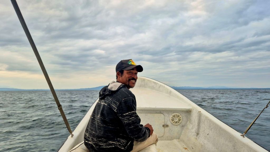
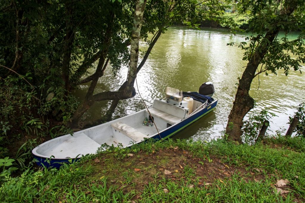
One of the highlights of the IBRG CATEX-24 expedition was a day trip by boat from Punta Gorda to the border marker, travelling along the whole southern border marked by the River Sarstoon.
Punto Gorda
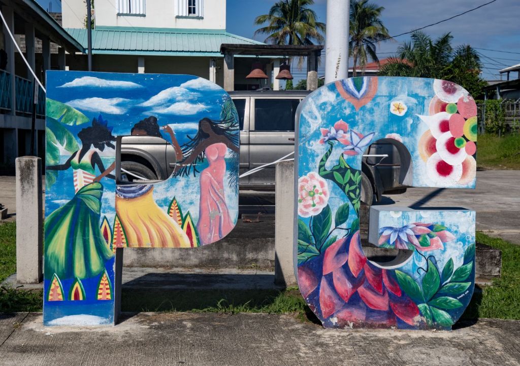
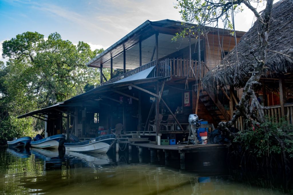
Punta Gorda (pop. 5531 (2010)) is a seaport and fishing town on the Caribbean Sea. It is a colourful town with a diverse mix of people living there, its inhabitants are mostly Kriol/English-speaking and are primarily of Garifuna, East Indian, Kriol, and Maya descent. It had a Caribbean vibe, something echoed as we travelled from the port towards the Sarstoon river estuary, with Bob Marley playing over the boats loudspeakers.


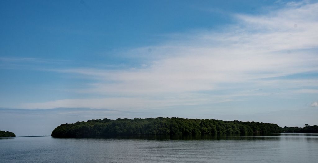
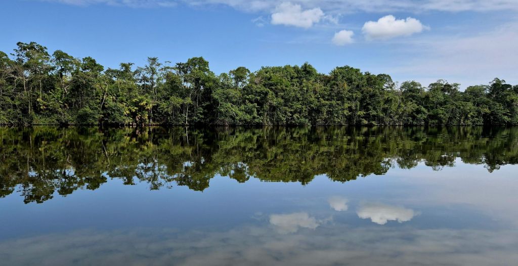
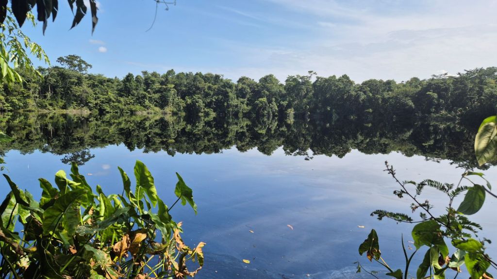
Sarstoon River & Sarstoon Island.
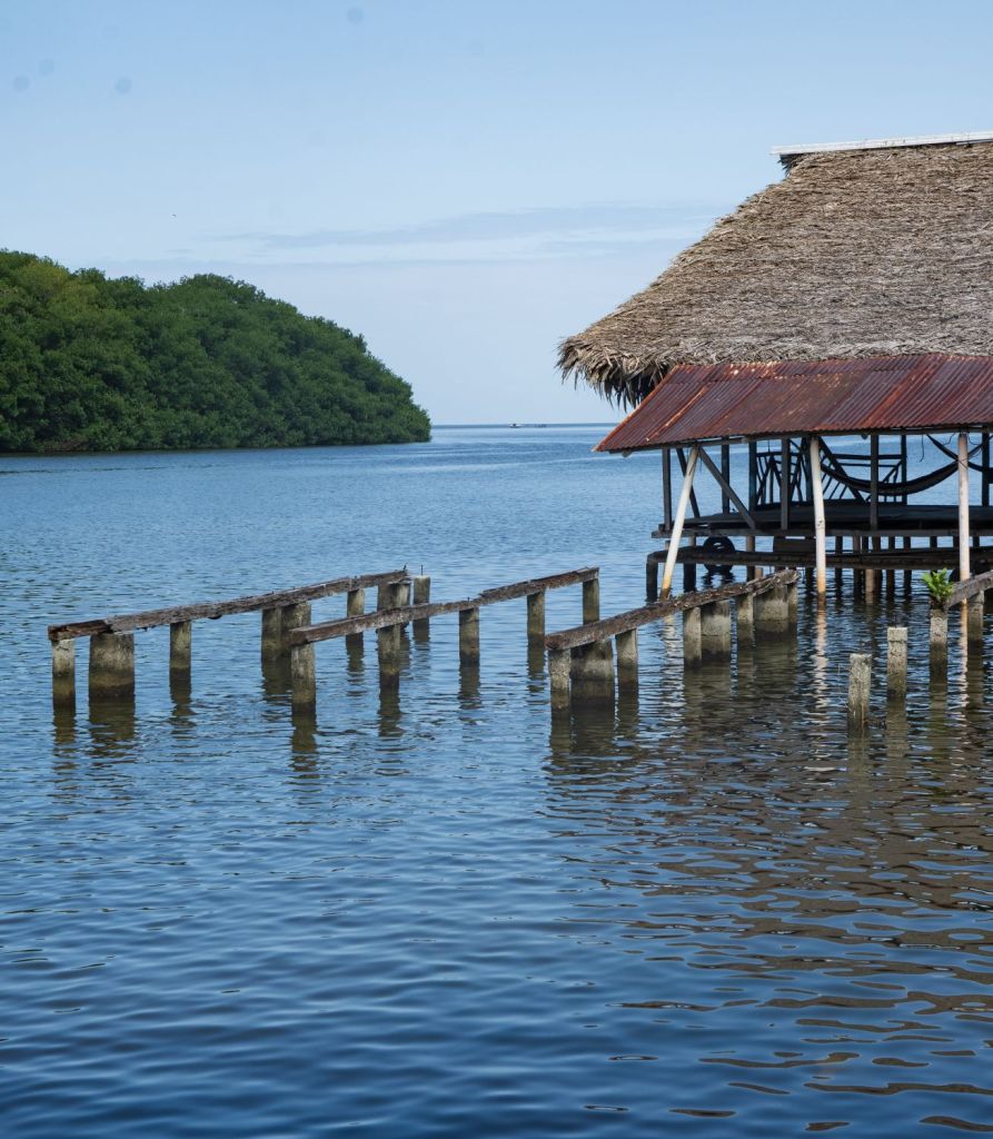
The Sarstoon River is a Central American river that forms part of the international border between Belize and Guatemala. Although as part of the Belizean–Guatemalan territorial dispute since 1999 Guatemala has claimed Belizean territory south of the Sibun River. As we entered the river it was possible to see both the Belizean and Guatemalan coast guard bases facing one another. The newish Belize Defence Force (BDF) outpost marks the Belizean side of the Sarstoon, and this has helped to discourage poachers and loggers crossing the river from Guatemala, as well as maintaining Belize’s claim over the area. Near the mouth of the river there is Sarstoon Island, which is part of the Toledo District of Belize, one of 6 districts of the country. The island is mostly mangrove swampland and is uninhabited. It covers approximately 0.68 square kilometres. According to the Wyke-Aycinena Treaty of 1859, “any islands which may be found [within the Sarstoon River] shall belong to that Party on whose side of the main navigable channel they are situated.” In 1860, commissioners for British Honduras (now Belize) and Guatemala surveyed the Sarstoon River and found that the river’s current predominantly passed to the south of the island, making Sarstoon Island part of the territory of British Honduras. Sarstoon Island has been a focal point of the Belizean–Guatemalan territorial dispute, with Guatemala recently making claims to the island. In our discussions with Wil Maheia, leader of the Belize Territorial Volunteers he outlined incidents where Guatemalan Armed Forces enter Belizean waters and interfere with local fisherman.

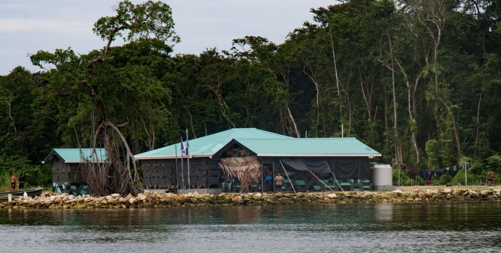

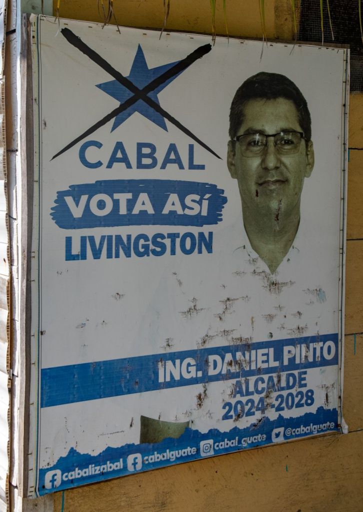
Although this was a contested international border, on our visit the atmosphere was relaxed and we travelled on both sides of the border without incident. On our return journey we visited the Guatemalan village Sarstun.


The Walk in…
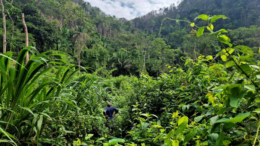
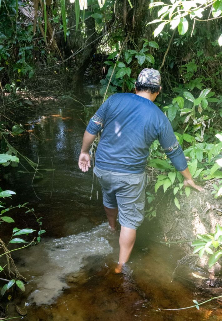
After mooring the boat we followed a narrow trail trough the jungle. After 20 or so minutes we entered a clearing where the border marker was located. Immediately by the mooring was an old decaying building built by the British for monitoring the border region and steps leading up the hillside which were also used by the British. Walking in the jungle is always fascinating, its noisy, humid and everything exists to either wreck your gear or damage you! Always fun.


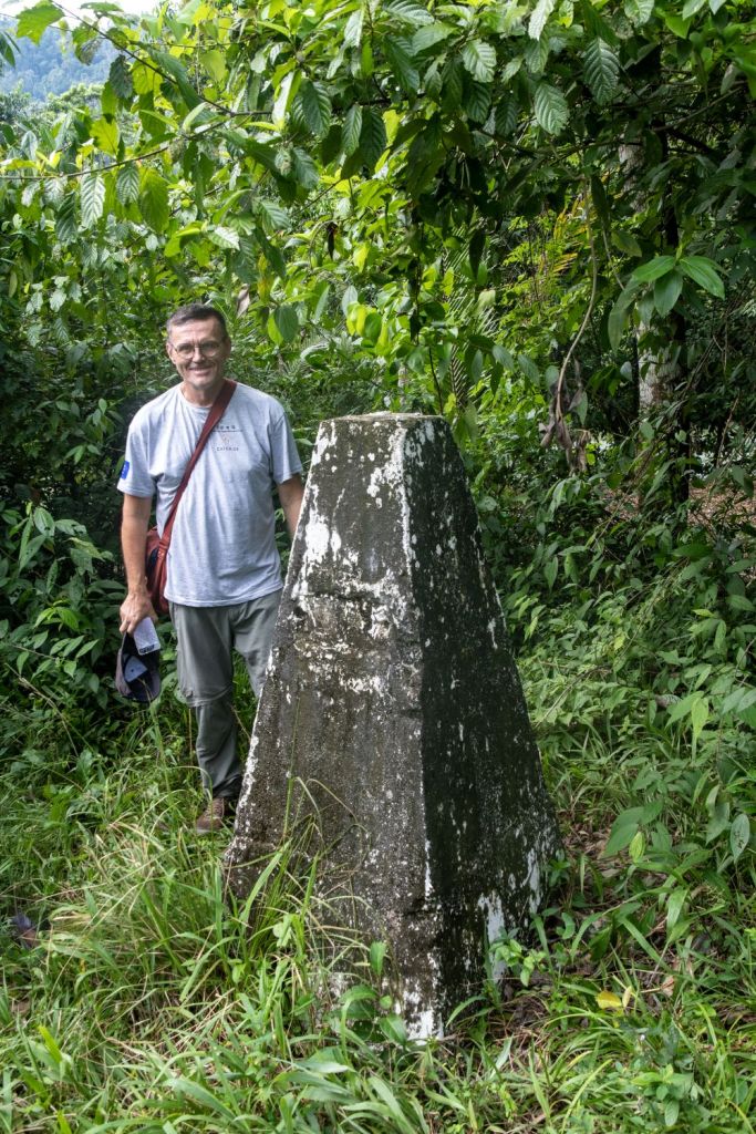
The Border Marker
The border marker is located close to the Gracias a Dios Falls. We left the jungle and entered a large clearing, the border marker was easy to locate. In comparison to the other 2 markers on the Belize – Guatemala border this is perhaps the most neglected. It was in need of renovation and cleaning. The metal country name plaques on the top were missing in the case of Belize whilst the Guatemalan one was in poor condition. The name plaques on the side of the marker were also missing. In other regards it was very similar to the border marker at Garbutt’s Falls


The other side…
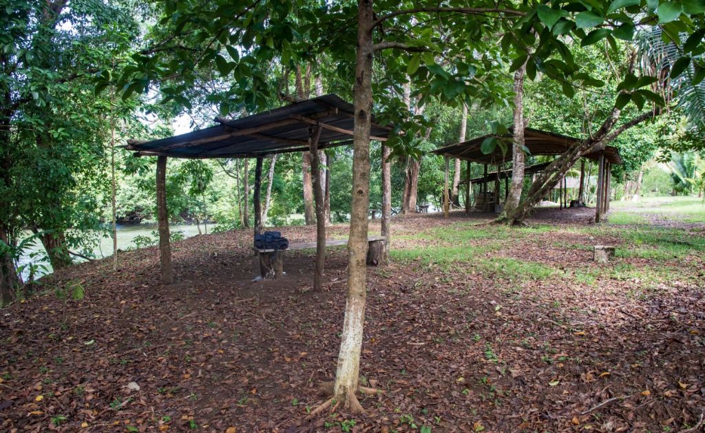
As we examined the border marker it was easy to notice a gap in the vegetation immediately behind it. A couple a steps and we were in Guatemala, the landscape could not be more different, instead of jungle and knee high vegetation, there was a picnic area and benches. The grass was cut and it was easy to imagine families socialising here. A short distance away was a farmhouse and a little further the Guatemalan town of Modesto Méndez . Situated 260 km from Guatemala City it has a population of 110 people. For those driving from the capital city to Flores, the border marker becomes a drive in and a half hour visit. We however enjoyed our all day boat trip and jungle hike. Life is an adventure and this was an exciting border orientated day.


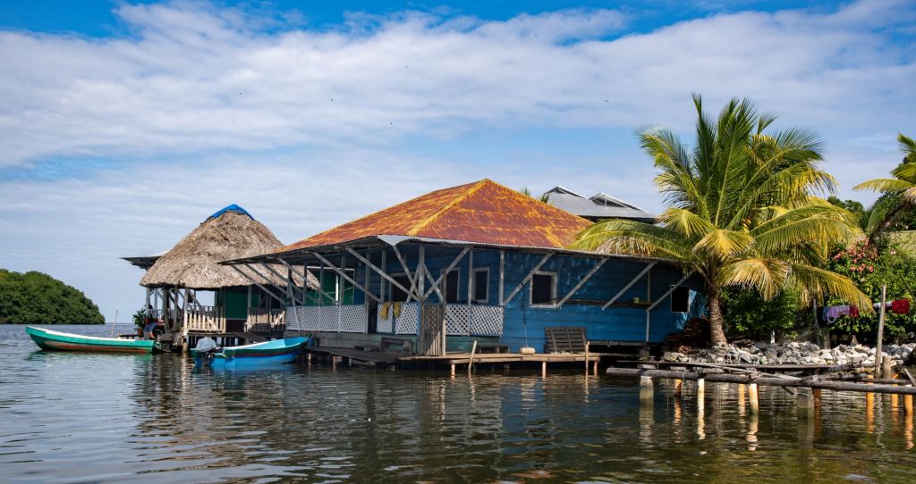
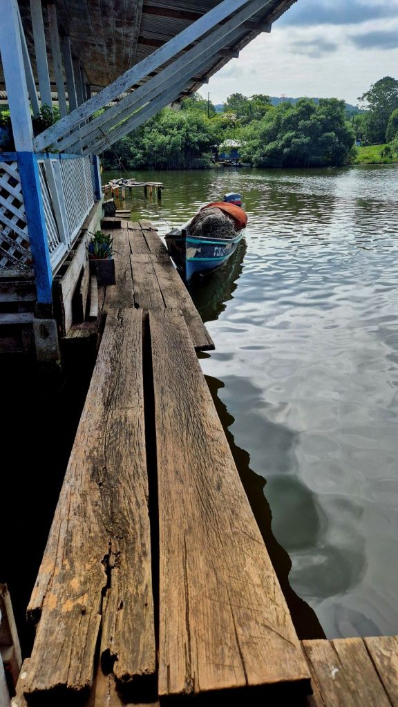
The way back and Sarstun village
Our mission was complete, we had visited all three border markers on the Belize – Guatemala border. Not many people from either country could say that let alone people from the UK and Denmark. Retracing our steps we reached the moored boat and sat and had a celebratory snack and drink. Lunch was arranged in the Guatemalan village near the river estuary that we passed earlier in the day when we picked up our guide. We headed back down the river only stopping briefly to explore a hidden lagoon and hear the local legends about pirates.

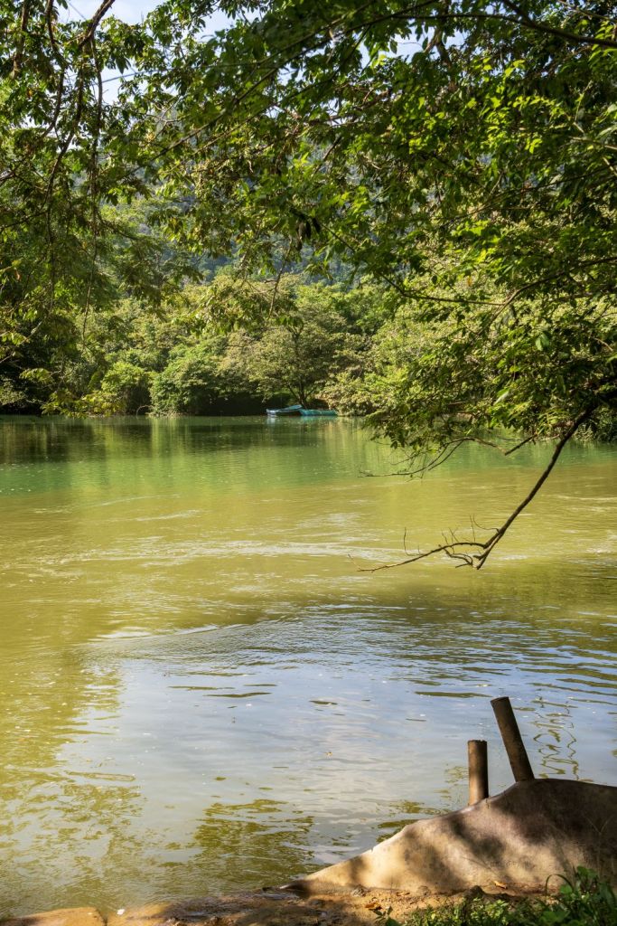
The lagoon
Local knowledge is essential, the lagoon is set back from the river, it is secluded and remote. A very narrow access route took us to the lagoon. It was hauntingly beautiful, sadly there were no Pirates to see.

The village
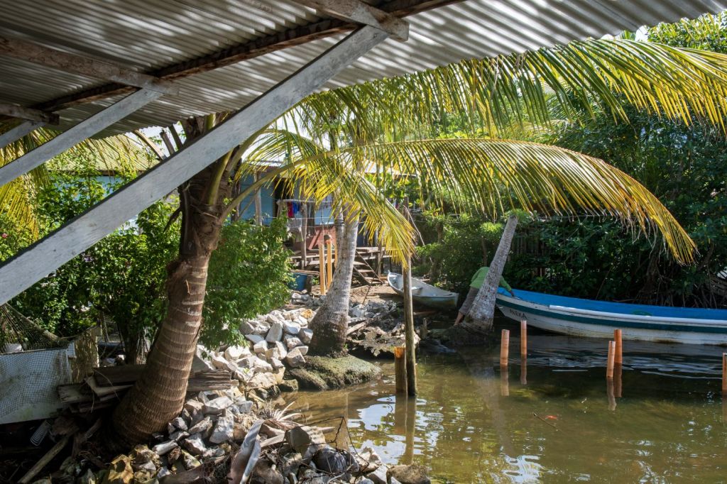
Sarstún is an isolated community with no infrastructure that links it to other Guatemalan towns. With no road links the closest Guatemalan town is Puerto Barrios, a 2 hour boat ride away. Whilst we were there many canoes and powered boats passed by. The village has a local school. Charities have established a medical clinic and have improved the water supplies through new wells and filtration equipment. Details here
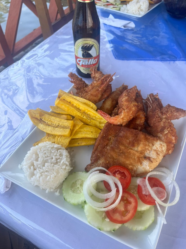
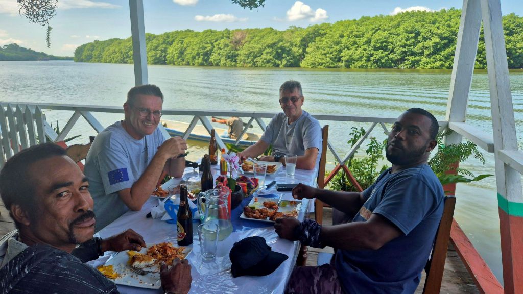
Eco tourism has brought much needed funds into the community with restaurants and places to stay. International tourists come from Belize and Guatemala by boat. We had a wonderful fish meal and the opportunity to explore the village.


Lunch
All that remained was for us to have a wonderful fish meal at a riverside restaurant, washed down with local Guatemalan beer.

Post Expedition Meeting
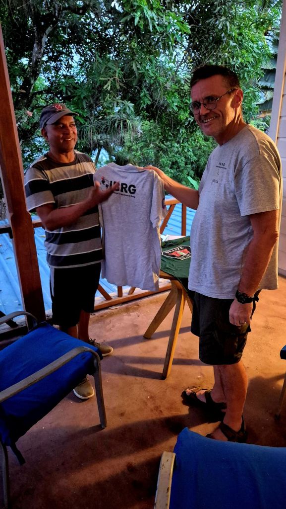
It was fantastic to meet up with Wil Maheia, a local politician and environmentalist who heads up the Belize Territorial Volunteers a group focused on increasing knowledge of Belizean borders and the challenges faced. The group arranges annual visits to Points of Interest on the border with Guatemala and acts as a pressure group over issues of territorial sovereignty and the challenges faced by border communities. They are activists who visit the edges of their country with its contested borders.


References
- Is Gracias a Dios Border Marker Neglected? Channel 5 Belize (July 2017) Details here
- The Belize Territorial Volunteers Make Another Trip to the Gracias Adios Border Marker. Love FM (April 2023) Details here.

Date: 24 November 2024
