
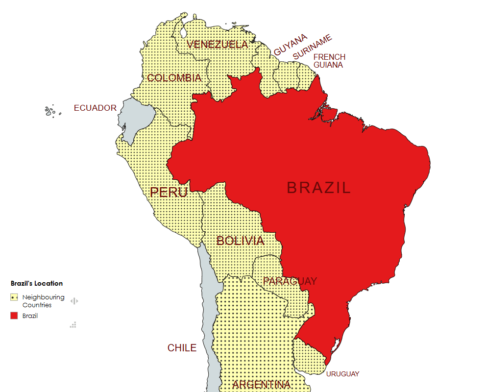
Brazil is the largest country in South America and occupies nearly half the continent, it’s also the fifth largest nation in the world. It forms an enormous triangle on the eastern side of the continent with a 7,400-kilometer coastline along the Atlantic Ocean. It has borders with every South American country except Chile and Ecuador. Brazil contains roughly 60% of the Amazon Rainforest, the most biodiverse region on Earth. It is also home to the Pantanal, the world’s largest tropical wetland. As of 2025, it is estimated to have a population of approximately 213.4 million, making it the seventh most populous nation globally. It’s population is exceptionally diverse, with a mix of Indigenous peoples, European settlers (Portuguese, German, Italian), and descendants of enslaved Africans (approximately 4 to 5 million were brought to Brazil in colonial times), plus significant Asian (Japanese) and Middle Eastern groups, with “Pardo” (mixed-race) being the largest self-identified group (around 45-46%), followed by White (43%), Black (10%), Indigenous (0.8%), and Asian (0.4%). Brazil has the most Portuguese speakers in the world and is the only country in the Americas where Portuguese is an official language.
Brazil gained its independence from Portugal in 1822, abolished slavery in 1888 and became a republic in 1889. Brazil in common with many south American countries has not had an easy path to democracy. Brazilian coffee exporters politically dominated the country until populist leader Getúlio Vargas rose to power in 1930. Vargas governed through various versions of democratic and authoritarian regimes from 1930 to 1945. Democratic rule returned in 1945 — including a democratically elected Vargas administration from 1951 to 1954 — and lasted until 1964, when the military supported by the USA overthrew President João Goulart. The military regime censored journalists and repressed and tortured dissidents in the late 1960s and early 1970s. The dictatorship lasted until 1985, when the military regime peacefully ceded power to civilian rulers, and the Brazilian Congress passed its current constitution in 1988.
As of 2025, Brazil is a federal presidential constitutional republic based on representative democracy. The federal government is divided into three independent branches. Firstly the Executive Branch: Headed by the President, who serves as both head of state and head of government, secondly, the Legislative Branch: Vested in the National Congress (Congresso Nacional), a bicameral body consisting of the Federal Senate and the Chamber of Deputies. and thirdly, the Judicial Branch: Comprises the Supreme Federal Court, the Superior Court of Justice, and other lower federal courts.
Brazil is a regional and middle power, and has been described as a rising global power. It is an emerging, upper-middle income economy and newly industrialized country, with one of the 10 largest economies in the world in both nominal and PPP terms, the largest economy in Latin America and the Southern Hemisphere, and the largest share of wealth in South America. With a complex and highly diversified economy, Brazil is one of the world’s major or primary exporters of various agricultural goods, mineral resources, and manufactured products. The country ranks thirteenth in the world by number of UNESCO World Heritage Sites. Brazil is a founding member of the United Nations, the G20, BRICS, G4, Mercosur, Organization of American States, Organization of Ibero-American States, and the Community of Portuguese Language Countries; it is also an observer state of the Arab League and a major non-NATO ally of the United States.
Border Facts
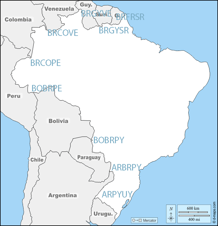
Brazil borders ten countries in South America: Argentina, Bolivia, Colombia, French Guiana (France), Guyana, Paraguay, Peru, Suriname, Uruguay, and Venezuela, sharing borders with every South American nation except Chile and Ecuador, and also bordering the Atlantic Ocean. Its borders total 16,885 kilometres. Brazil has the world’s third longest land border, behind China and Russia.
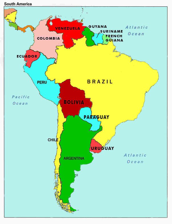
Neighbouring Countries by Region
- South: Uruguay, Argentina, Paraguay
- West/Southwest: Bolivia, Peru
- Northwest: Colombia
- North: Venezuela, Guyana, Suriname, French Guiana (an overseas territory of France)
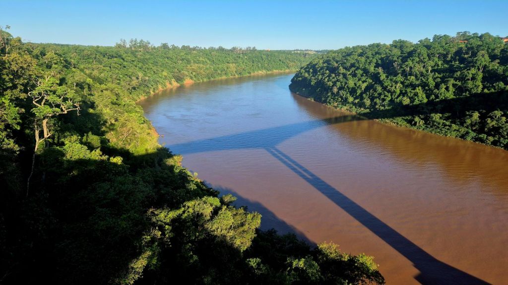
Brazil – Argentina border is mainly “wet” with 1,224 km by rivers and only 24 km by land. The border was established in by the Treaty of 1898 (which is based on an Arbitration Award 1895). There are 310 boundary markers. Starting at the confluence of Paraná and Iguaçu rivers at the ARBRPY tripoint, it passes through the Iguaçu Falls and follows the thalweg of that river to the mouth of Santo Antônio River, then running upstream the course of this river until its source. From there the boundary runs 25.1 km by land until reaching the source of the Peperi-Guaçu River and from there along the channel of that river to its confluence with the Uruguay River, then running downstream the course of the Uruguay to the mouth of river Quaraí at ARBRUY tripoint.
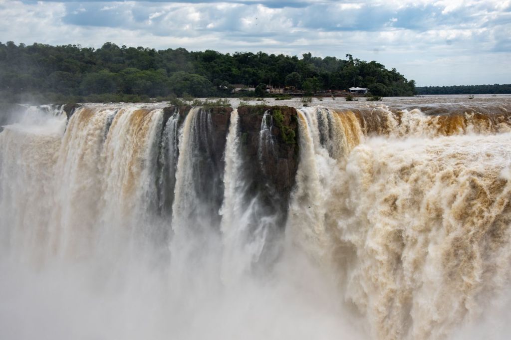
The Tancredo Neves Bridge, better known as Fraternity Bridge connects the Brazilian city of Foz do Iguaçu with the Argentine Puerto Iguazú, crossing over the Iguassu River. In 2025 new Immigration and Customs facilities were being built.
Brazil – Bolivia border is 3,423 kilometres long and is Latin America’s second-longest border and the eighth-longest worldwide. The border is primarily defined by rivers and wetlands, stretching from the Pantanal wetlands in the south-east to the Amazon rainforest in the north-west, featuring diverse terrains like tropical forests, savannas, and major rivers such as the Guaporé, Acre, Madeira, and Abunã. This border has changed over time, the Treaty of Petrópolis (1903) signed after the Acre War ceded Acre to Brazil.
Near the BOBRPY tripoint there is the “Dioniso Foyani” (or Foianini). Triangle, the above 1903 treaty with Brazil ceded this triangle to Bolivia so that Bolivia could build a port on the Paraguay River, ensuring a sovereign and direct river connection to the Atlantic Ocean via the Paraguay-Paraná Waterway and the Río de la Plata.
A current minor border dispute exists over Isla Suárez (Guajará-Mirim Island) on the Mamoré River, where both nations claim sovereignty, though a 1958 treaty maintains status quo, with Brazil de facto controlling it albeit Bolivia being geographically closer.
Bolivia and Brazil are building the Mamoré River International Bridge (or Rio Mamoré Bridge) connecting Guayaramerín (Bolivia) and Guajará-Mirim (Brazil), a major project over 1.2 km long, replacing a ferry, and fulfilling a long-delayed promise from the Treaty of Petrópolis (1903) to boost South American trade, particularly for landlocked Bolivia. Tender processes began in late 2023, with construction aiming for completion in 2027, integrating the region and offering a crucial export corridor to Asia.
Brazil – Colombia border is approximately 1,644 kilometres long, running through dense Amazon rainforest and following rivers like the Japurá and Apaporis as natural dividers, involving Colombian departments of Guainía, Vaupés, and Amazonas. The boundary was defined through two primary treaties: the Vásquez Cobo-Martins Treaty (1907) and the Tratado de Límites y Navegación Fluvial (1928).
The border begins at the BRCOVE tripoint with Venezuela on the Rio Negro and ends at the BRCOPE tripoint with Peru on the Amazon River (known as Tres Fronteras). The border consists of a mix of natural and artificial segments: River thalwegs: 808 km, Straight line segments: 612 km. and Watershed divides: 223 km. The most prominent international crossing is between the adjoining cities of Leticia (Colombia) and Tabatinga (Brazil).
Brazil – French Guiana (France) border is 730 km. long making it France’s longest border, the Brazilian state of Amapá borders French Guiana. The border runs through the Amazon rainforest, primarily defined by the Oyapock River. The only bridge that crosses the border is the Oyapock River Bridge, connecting the town of Saint-Georges in French Guiana with Oiapoque in Brazil. This unusual situation exists because French Guiana is an integral part of France, not a separate territory. The basis of this border dates back to the Peace Treaty of Utrecht signed between France and Portugal in 1713, which established the border between both the colonial holdings of both kingdoms in South America. It’s a gateway to the EU, fostering cross-border trade and raising issues of migration and environmental protection.
Brazil – Guyana border is 1605 km. long. The Ireng River (known as the Tacutu River on the Brazilian side) forms much of the border. The border runs through the Amazonian grasslands, with Roraima state in Brazil sharing this terrain. The current border was established by a 1901 Treaty. The main overland crossing connects Lethem (Guyana) and Bonfim (Brazil) via the Ponte Prefeito Olavo Brasil Filho bridge. The border’s porous nature and proximity to the disputed Essequibo region (Guyana-Venezuela) make it strategically important for Brazil, which monitors regional security. FUN FACT: Guyana drives on the left (as a legacy of being a British colony), the Takutu River Bridge is the only instance in the Americas of a land border where drivers must change from driving on the left (in Guyana) to driving on the right (in Brazil), or vice versa. The changeover is achieved by means of a crossover bridge on the Guyanese side.
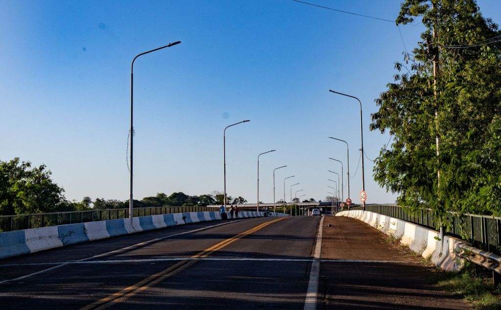
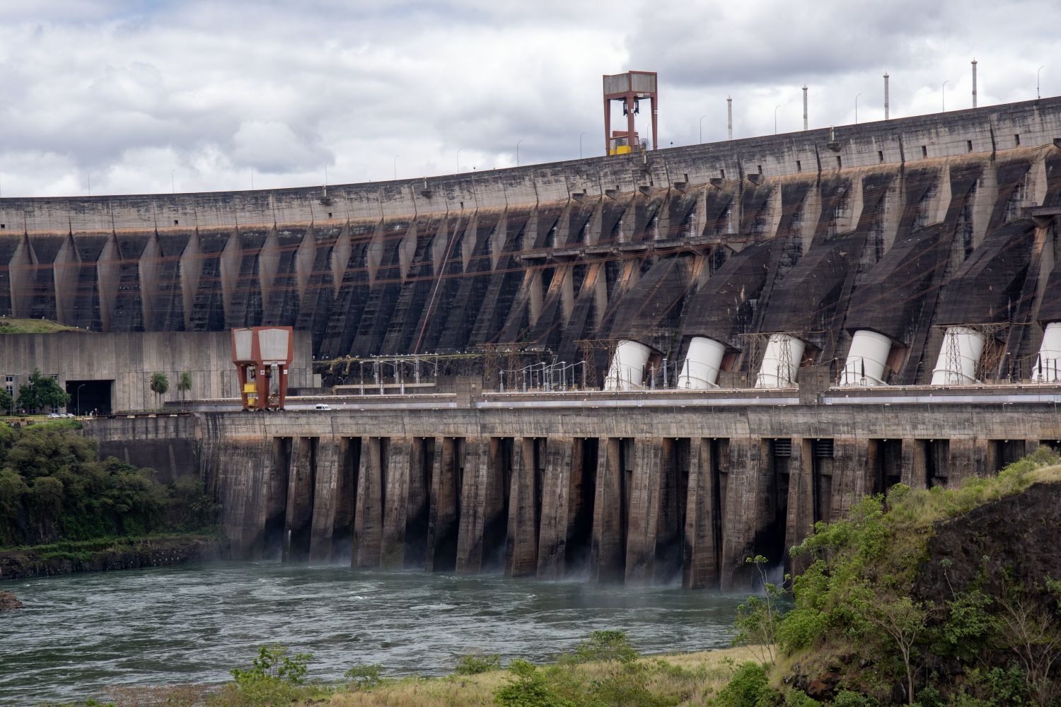
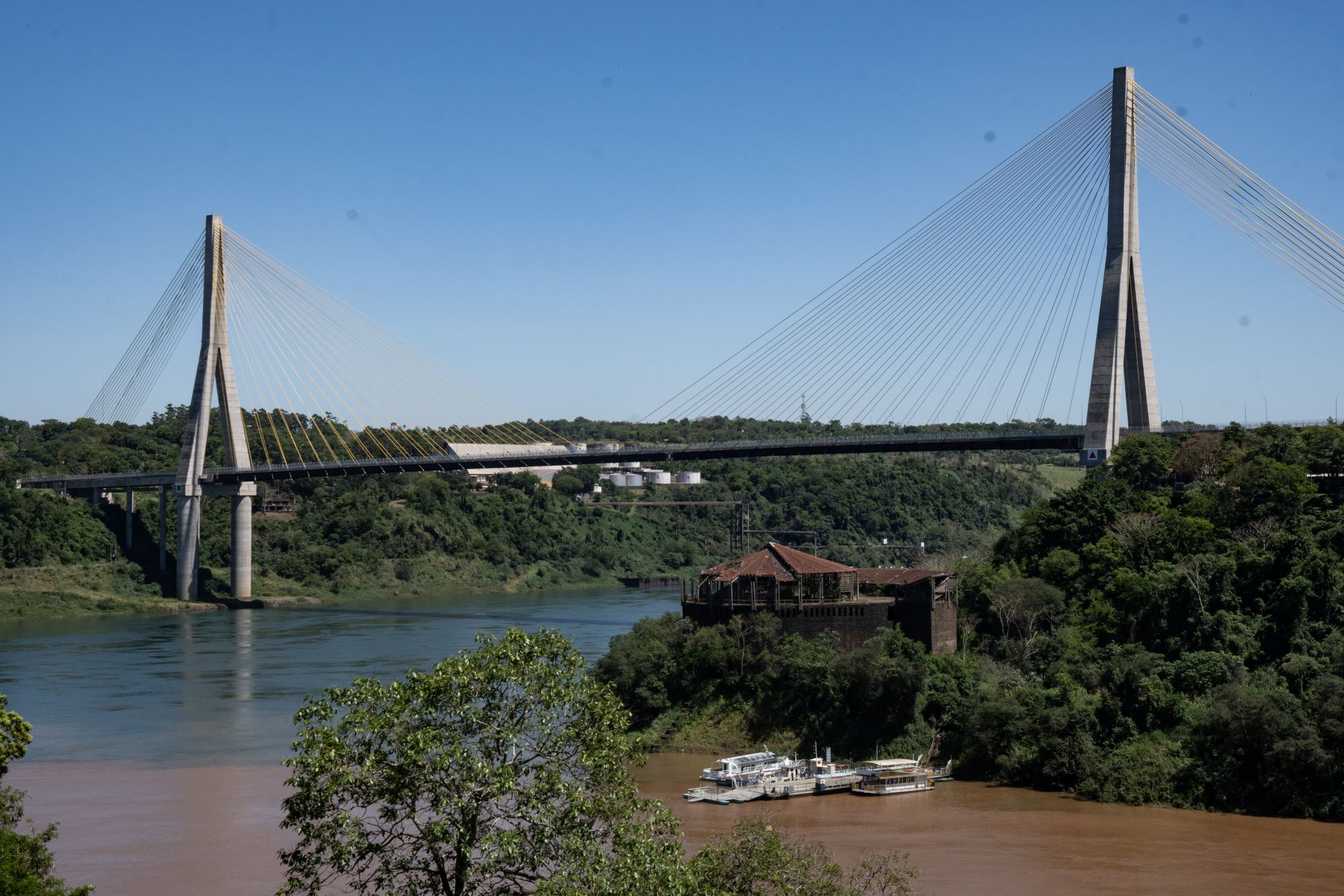
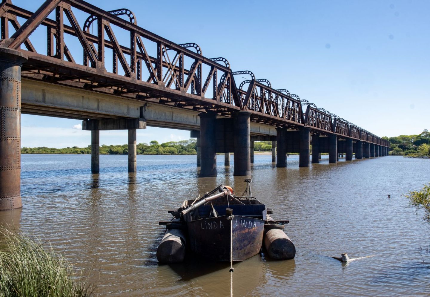
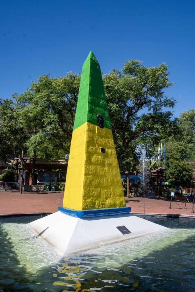
Brazil – Paraguay border is 1370 km long and begins in the south at the famous ARBRPY tripoint and the friendship bridge between Foz do Iguaçu and President Franco and ends in the triple border with Bolivia, near the Paraguayan city of Bahía Negra and the BOBRPY tripoint. On the border between Brazil and Paraguay, lies the Itaipu Hydroelectric Power Plant, which is one of the largest hydroelectric plants in the world in terms of annual energy generation. The Paraguay–Brazil Integration Bridge just north of the ARBRPY tripoint is due to open in December 2025, the bridge is completed for some time but its opening has been delayed due to the lack of connecting infrastructure.

Brazil-Peru border is a approximately 2,995-kilometer long located deep within the Amazon rainforest. It is characterized by dense tropical vegetation, a complex network of meandering rivers, and remote tripoints. Much of the border is defined by rivers that serve as natural barriers and transport corridors, including the Amazon (Solimões), Acre, Purus, Santa Rosa, and Yavarí rivers. On the Brazilian side of the border are the states of Amazonas and Acre. On the Peruvian side, are the regions of Loreto, Ucayali, and Madre de Dios. Much of the border was established in the Treaty of Rio de Janeiro in 1909. The border begins in the north at the BRCOPE tripoint on the Amazon river. The nearby “twin cities” of Tabatinga (Brazil) and Leticia (Colombia) form a major regional hub, with the Peruvian island of Santa Rosa de Yavari sitting directly across the water. The southern tripoint BOBRPE is located near the confluence of the Acre and Yaverija rivers, close to the town of Assis Brasil (Brazil) and Iñapari (Peru).
Due to the inhospitable terrain, land crossings are limited and movement of goods and people in the northern border regions occurs via the Amazon River and its tributaries, as there are no roads connecting the major border towns like Tabatinga to the rest of the national road networks. An exception is the Brazil–Peru Integration Bridge, which spans the Acre River between Assis Brasil and Iñapari. This route provides a rare terrestrial link between the Atlantic coast of Brazil and the Pacific coast of Peru.
Brazil – Suriname border is 593 km, the shortest border for Brazil. It separates Brazil’s Pará/Amapá states from Suriname’s Sipaliwini District. The border follows the watershed (drainage divide) of the Tumuk Humak Mountains, between the Amazonian and Atlantic rivers as established by the 1906 Treaty of Limits between Brazil and the Netherlands. The Impenetrable equatorial rainforest and mountains create natural barriers, preventing road construction and there are no border crossing points. The border was demarcated with 60 border markers, but the jungle makes physical maintenance challenging. The indigenous Tiriyó people do however move across the border using tracks known to them.
Brazil – Uraguay border is 985 km long, beginning at the ARBRUY tripoint in the west to the mouth of Arroyo Chuí, the southernmost point in Brazil. The western section of the border is marked by Quaraí River, a tributary of the Uruguay River and the “coxilhas of Santana.” To the east, its border is marked by the Jaguarão River that flows into the Lagoa Mirim. The border then runs from southern portion of this lagoon to the Chui. The border has specific points of interest for border enthusiasts: in the ARBRUY tripoint area there is contested ownership over the Brazilian Island which Brazil maintains full and effective sovereignty. Brazilian authorities assert that the island lies within the municipality of Barra do Quaraí, in the state of Rio Grande do Sul, while Uruguayan officials have historically included it as part of Bella Unión, in the Artigas Department. Nonetheless, Brazil’s claim is grounded in the 1851 Treaty and supported by decades of peaceful occupation and administration.
The second border disagreement is near the village of Masoller. The disputed area is called Rincón de Artigas (Portuguese: Rincão de Artigas), and the dispute arises from the fact that the treaty that delimited the Brazil-Uruguay border in 1851 determined that the border in that area would be a creek called Arroyo de la Invernada (Portuguese: Arroio da Invernada), but the two countries disagree on which actual stream is the so-named one.
So far, Rincão de Artigas is effectively under Brazilian control. As recently as 1985 Uruguay formally complained at the construction of Vila Thomaz Albornoz a small village in the contested area.
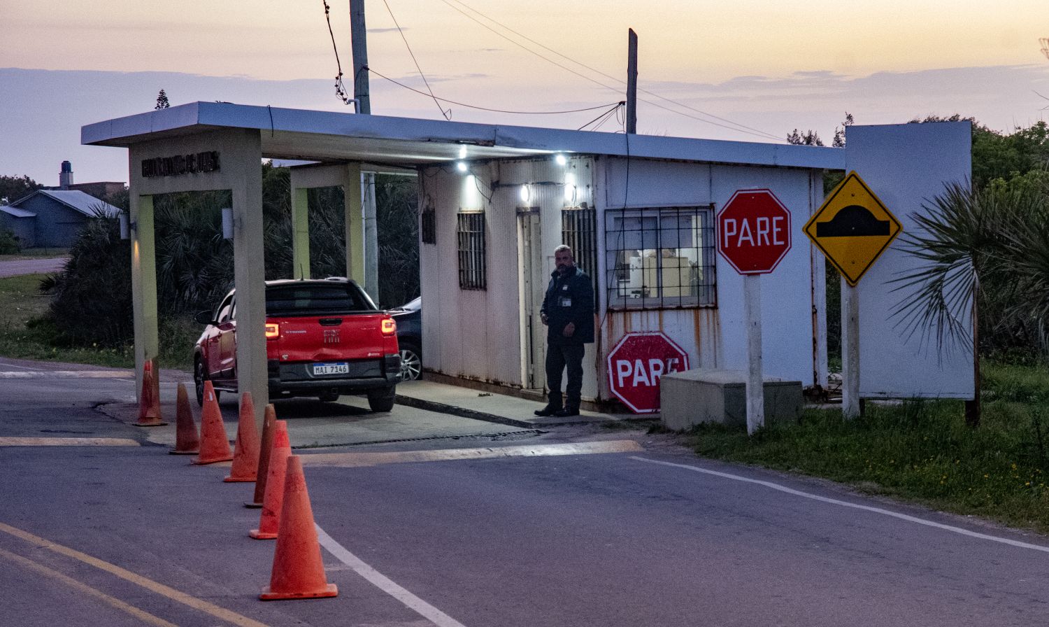
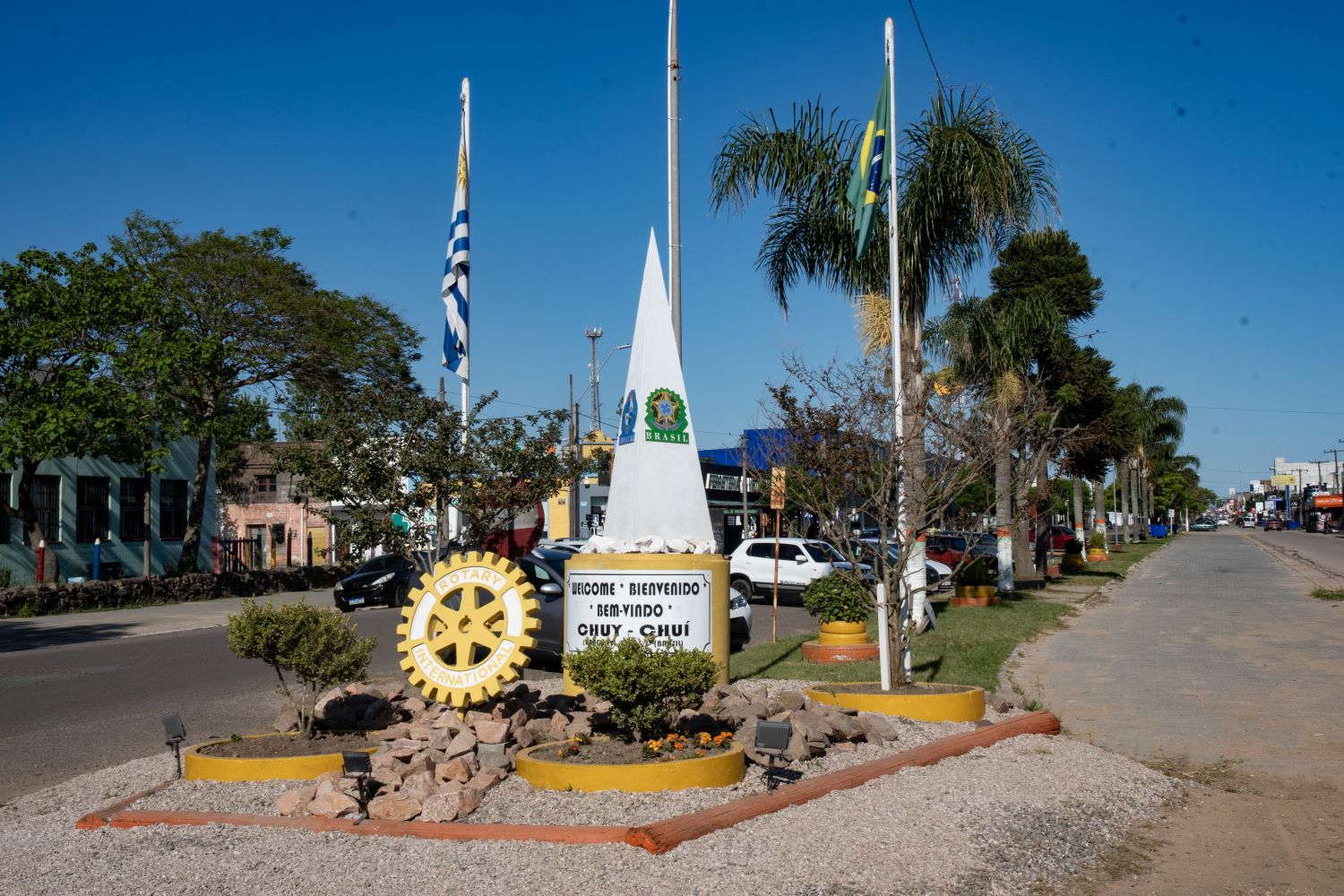
The other points of interest is where the border runs through the Uruguayan city Rivera and the Brazilian city Santana do Livramento. Residents of these two cities are able to walk freely between the two countries without any border control. Those wishing to travel further inland into both countries must then undergo border control at designated points. Many duty-free shops are located in both cities. The same situation exists between the Brazilian city Chuí and the Uruguayan city Chuy.
Please click on the images below to access visit reports, with maps, more photos and analysis.
Brazil-Venezuela border is approximately 2200 km long. It was delimited by the Treaty of Limits and River Navigation of May 5, 1859 and ratified by the Protocol of 1929 and marked by over 2,900 border markers. It separates Brazil’s Amazonas & Roraima states from Venezuela’s Bolívar & Amazonas states, primarily in the Guiana Shield highlands. Most of the border follows the natural watershed divide between the Amazon (Brazil) and Orinoco (Venezuela) river basins and begins at the BRCOVE tripoint near Cucuy Rock and ends at the BRGYVE tripoint on top of Mount Roraima.
The border is affected by Venezuela’s territorial claim over Guyana’s Essequibo region and the large influx of Venezuelan migrants into Brazil, creating humanitarian and security concerns. Brazil recognizes the current border and Guyana exercises de facto control over the disputed region. The primary official crossing is between Pacaraima (Brazil) and Santa Elena de Uairén (Venezuela) via BR-174 and Troncal 10 highways.
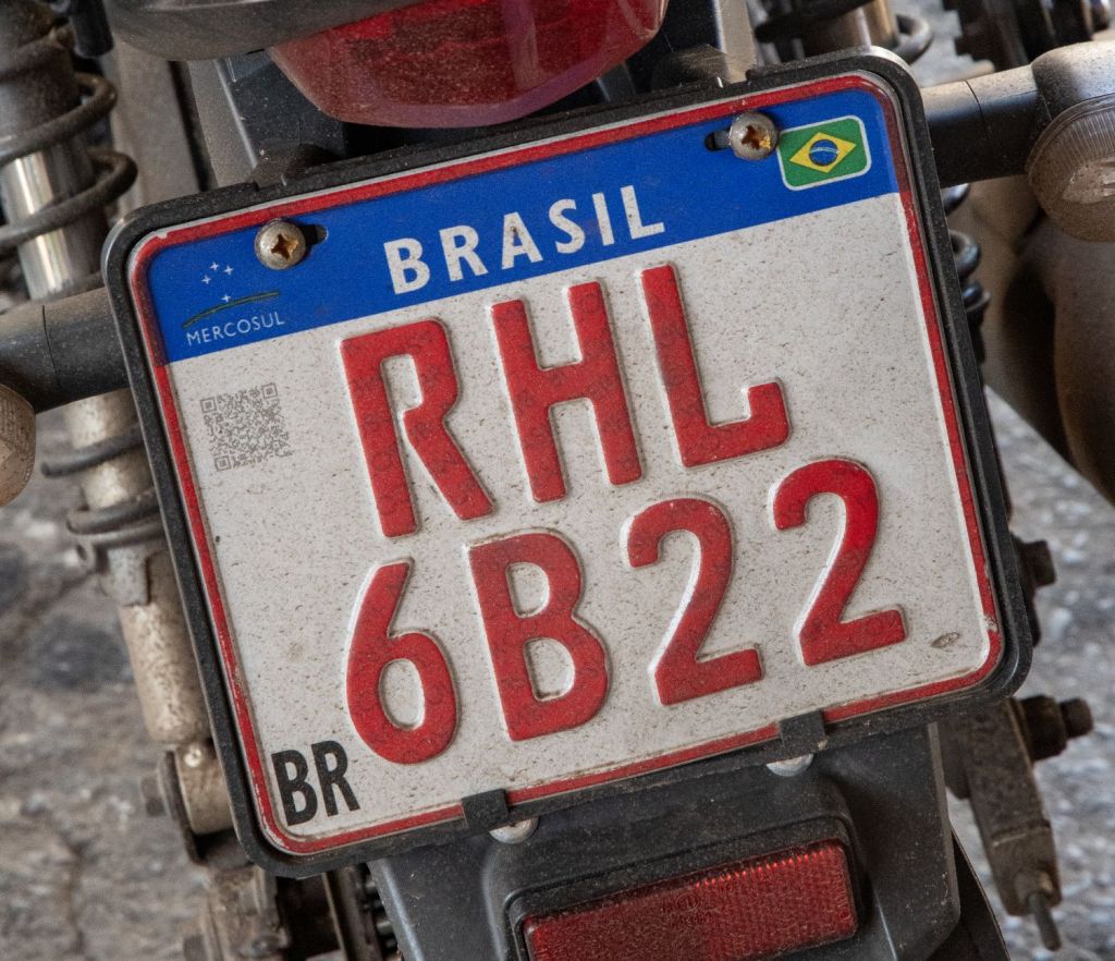
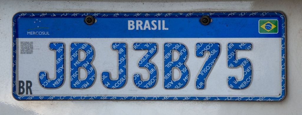
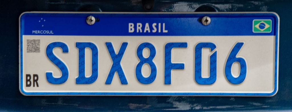
Brazilian Number Plates

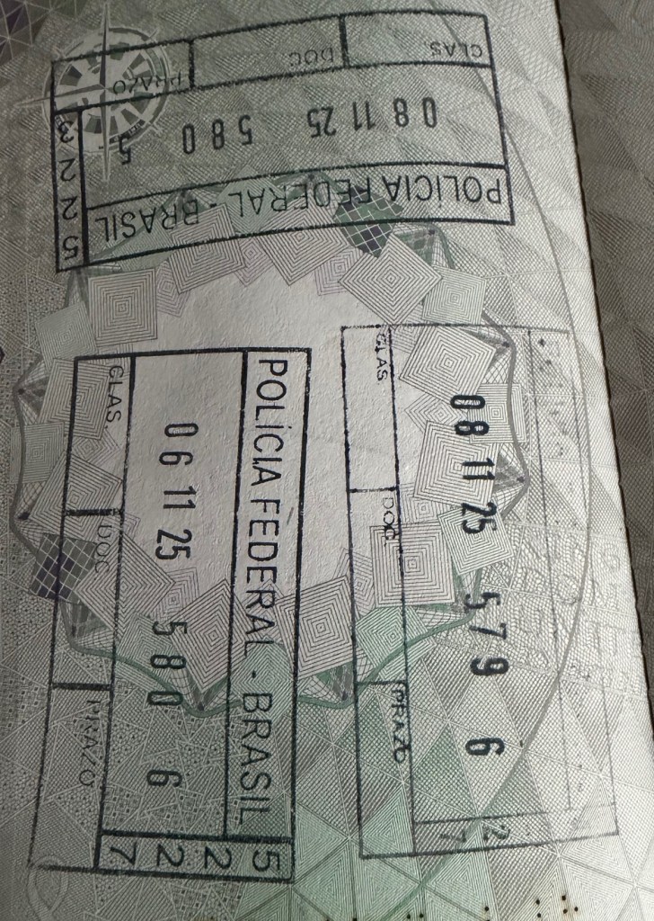
Brazilian Passport Stamps
Brazilian Tripoints
| number | name | countries | coordinates | type | link/notes |
|---|---|---|---|---|---|
| 1 | ARBRPY | Argentina – Brazil – Paraguay | 25°35′33″S 54°35′37″W | Wet | 3 Fronteiras is where the where the Iguazú and Paraná rivers converge. A new bridge across the Paraná river has been bult just north of the tripoint. |
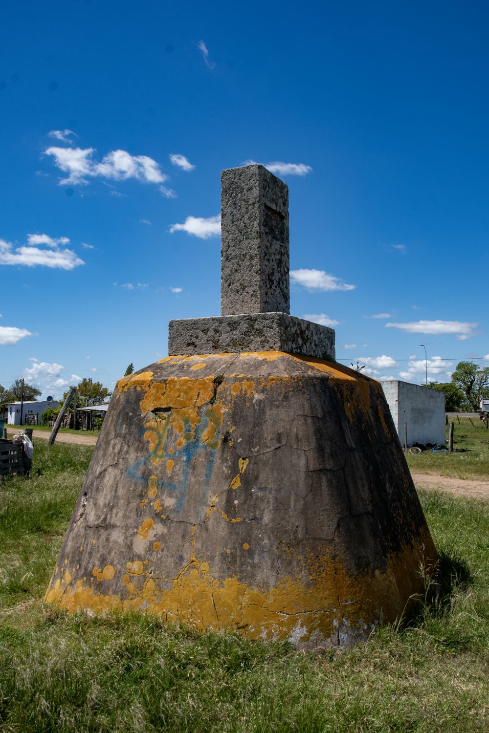
| 2 | ARBRUY | Argentina – Brazil – Uruguay | 30°12′S 57°39′W | Wet | Disputed with the ownership of Brasilera Island contested between Brazil and Uruguay. 2 monuments, one on BR mainland and one on the island close to the TP. Southernmost tripoint in the world |
| 3 | BOBRPE | Boliva – Brazil – Peru | 10°56′27″S 69°34′1″W | Wet | At the confluence of the Acre and Yaberija rivers. |
| 4 | BOBRPY | Boliva – Brazil – Paraguay | 20°10′S 58°10′W | Wet | At the confluence of the Negro and Paraguay rivers. |
| 5 | BRCOPE | Brazil – Colombia – Peru | 04°13′00″S 69°56′00″W | Wet | Tres Fronteras is a in the upper Amazon river. Tabatinga (BR), Leticia (CO), and Santa Rosa de Yavari (PE) on an island in the Amazon River are the closest towns. |
| 6 | BRCOVE | Brazil – Colombia – Venezuela | 1°14′N 66°51′W | The tripoint is located between the Rock of Cocuy situated on east bank & San Jose island situated near west bank. | |
| 7 | BRFRSR | Brazil – French Guiana – Suriname | 2°20′N 54°33′W | Disputed. There has been a history of conflict over which tributary of the Lawa River the boundary follows to the tripoint with Brazil. The Netherlands, and now Suriname, contends that the boundary follows the Marowini River to the east, while France asserts that the border follows the Litani River and Coulé-Coulé Creek to the west. Currently being negotiated by the bilateral boundary commission | |
| 8 | BRGYSR | Brazil – Guyana – Suriname | 1°57′N 56°29′W | Wet | Disputed. Guyana became independent with its borders unresolved. The issue stems from competing claims about where the source of the Courantyne river which was to be the border between GYSR. It was either the Kutari River (1840) or the New River or Upper Courantyne (1871), This led to the New River triangle dispute. Currently GY has de facto control over the area. |
| 9 | BRGYVE | Brazil – Guyana – Venezuela | 5°12′N 60°44′W | Dry | Monte Roraima (2734m) A white monument with the names of the 3 countries, accessible only from VE. |
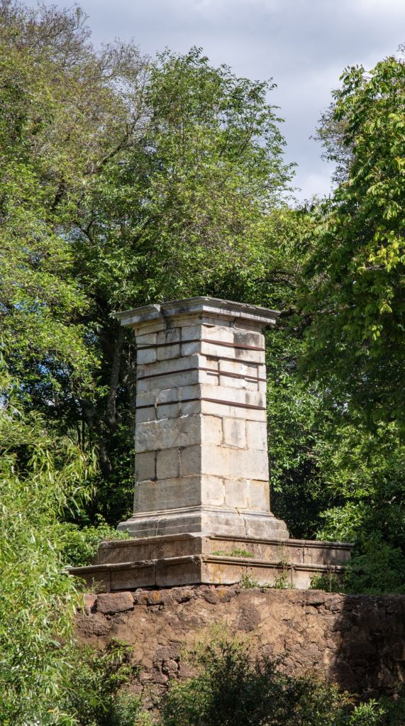
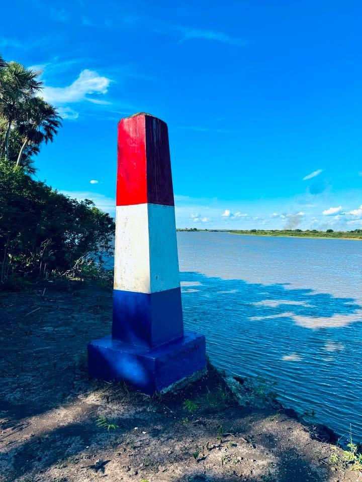
Tripoint Gallery


Site Navigation
In order to find your way around the site, either click on the links (text in red) or use the menus at the top and side of the pages. About leads you to the main areas of the site. The Americas Tripoints menu leads directly you to my visit reports whereas the Country Visits page allows you to choose which country to look at first. Clicking on photos can lead you directly to reports too.
Mobile Users Advice
Tables display correctly when holding your mobile horizontally.
To access the links to other pages please click on the 3 horizontal dots at the bottom of the page

