
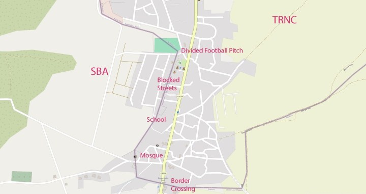
Pergamos (Turkish: Beyarmudu) is a Turkish Cypriot village in Larnaca District, Cyprus, 4 km north of Pyla, almost surrounded by the British Sovereign Base Area (SBA) at Dhekelia. Pergamos is under the de facto control of Northern Cyprus. Pergamos is the site of a Green Line crossing checkpoint. That and the proximity of the SBA has assisted economic development in the area Due to its location the are is a lot of border related interest along the SBA(E) and TRNC demarcation line. The line as drawn on Google Maps is not accurate. POI’s include a divided Mosque, a school whose playground backs directly onto the border, blocked streets between Pergamos and the SBA residential area and a divided football field. I visited this point as part of the IBRG CYBEX-24 expedition.
Border Crossing
Coming from the South it is necessary to go through the Pyle – Pergamos checkpoint. Additional interest is that the border is technically between the UK and TRNC. Click on the image below to access full report, photos maps and analysis of this border checkpoint.

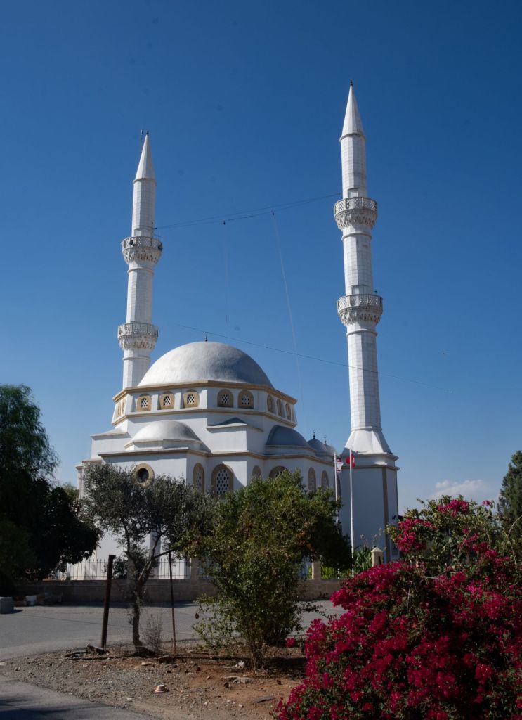
The Mosque
Walking north and then turning left brings you to one of the major buildings in the village. The Mosque is an impressive building which is divided by the border. Close by there is a controlled barrier leading to the SBA.


The School
Moving north we entered a school to view the border that was directly behind the spectator stand overlooking the playground.

Blocked Streets
There are a number of streets that lead from the SBA into Pergamos but are all blocked since 1974.


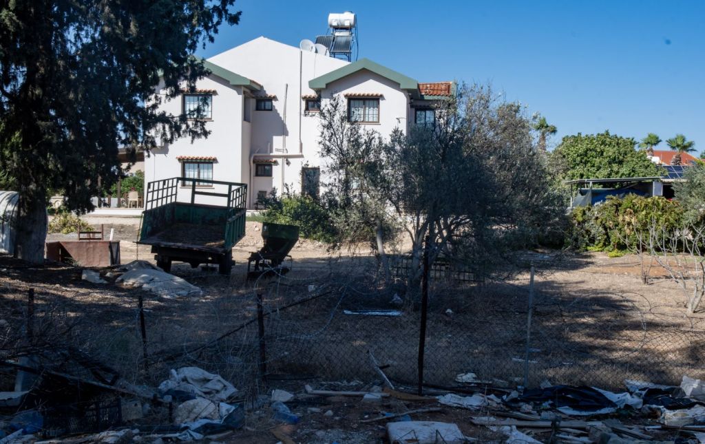

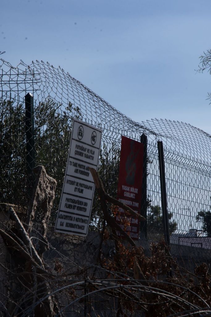
Divided Sport Ground
As we reached the furthest point from the border crossing for us on this trip, we reached a sports ground which was divided between the SBA and Pergamos village. It appeared as if access was only from the TRNC. Adjacent to the sports ground was another barrier controlling access to the SBA. It was possible to walk into the SBA at this point, although the area was enclosed.


Date of Visit: 30 September 2024
