

The Strovilia/Akyar Checkpoint is in the British SBA(E). This checkpoint is particularly interesting because in order to reach it one needs to pass through a long corridor that spans not only the buffer zone but also the British military base. It is the shortest route is from Famagusta in the north to Larnaca in the south. I visited this point as part of the IBRG CYBEX-24
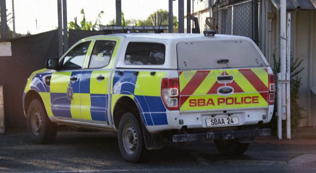
We drove to the crossing point and then some of us walked across. After driving some distance from the crossing point into the UK military base area we were stopped by SBA police who asked us why we had been taking photographs.
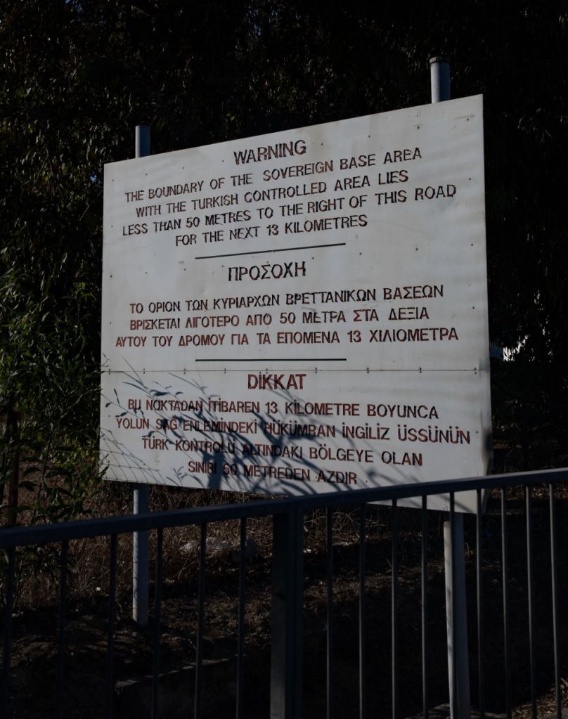
This was the first time that the SBA personnel had expressed concern. After leaving the checkpoint we soon reached the SBA access road, a strip of UK territory where the RoC and the TRNC are only 50m from the edge of the road.

The North
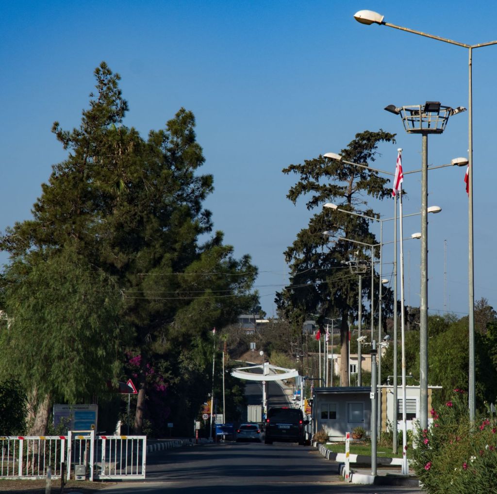
Travelling from north to south
Driving from Famagusta it is not long before the TRNC is reached, lots of cameras, gates and flags, we stayed in the vehicle on this side, passport checks were straightforward.


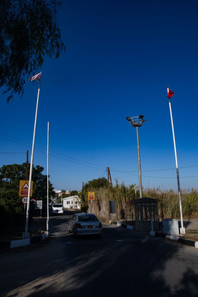

The South
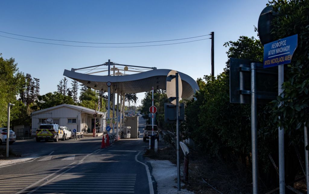
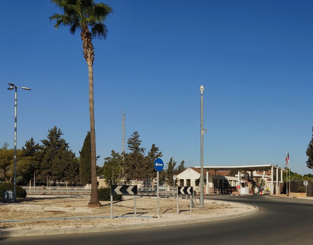
SBA Checkpoint
After crossing the border some of us walked through the SBA checkpoint.


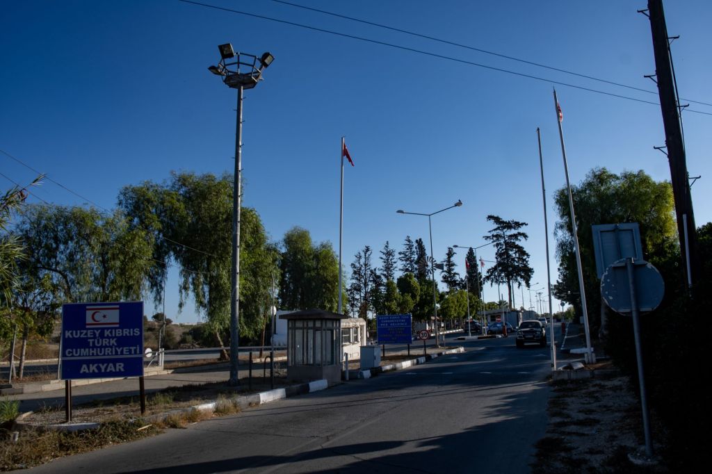
Entering the SBA base area
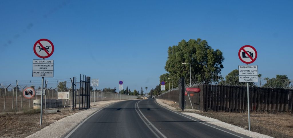
Travelling south the road goes through the UK military base. There is no stopping here, but there was a British feel here.
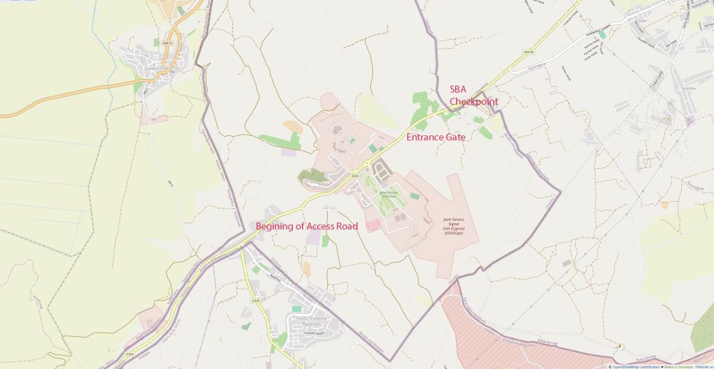

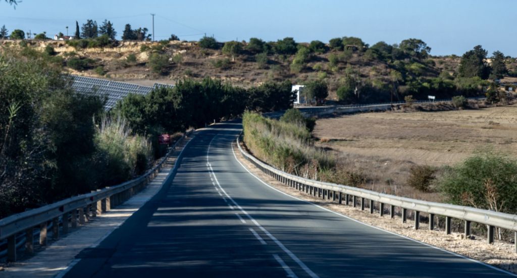
The SBA Access Road
Moving south there is a narrow strip through which the road goes. The border to the Republic of Cyprus (on the left) and the TRNC (on the right) is a mere 50m from the edge of the road. Several OP’s a UN base and views of an abandoned village provide border interest.
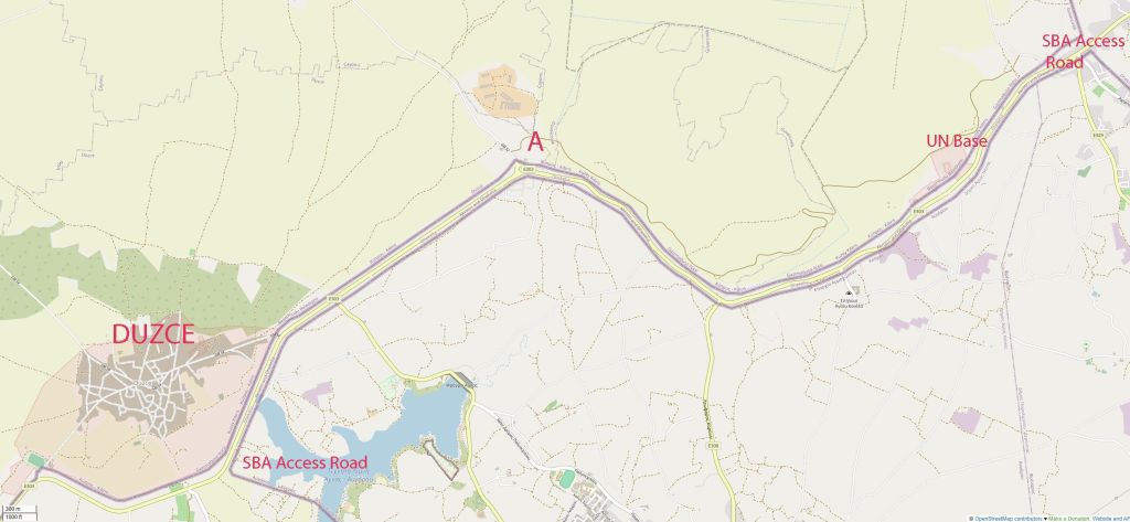
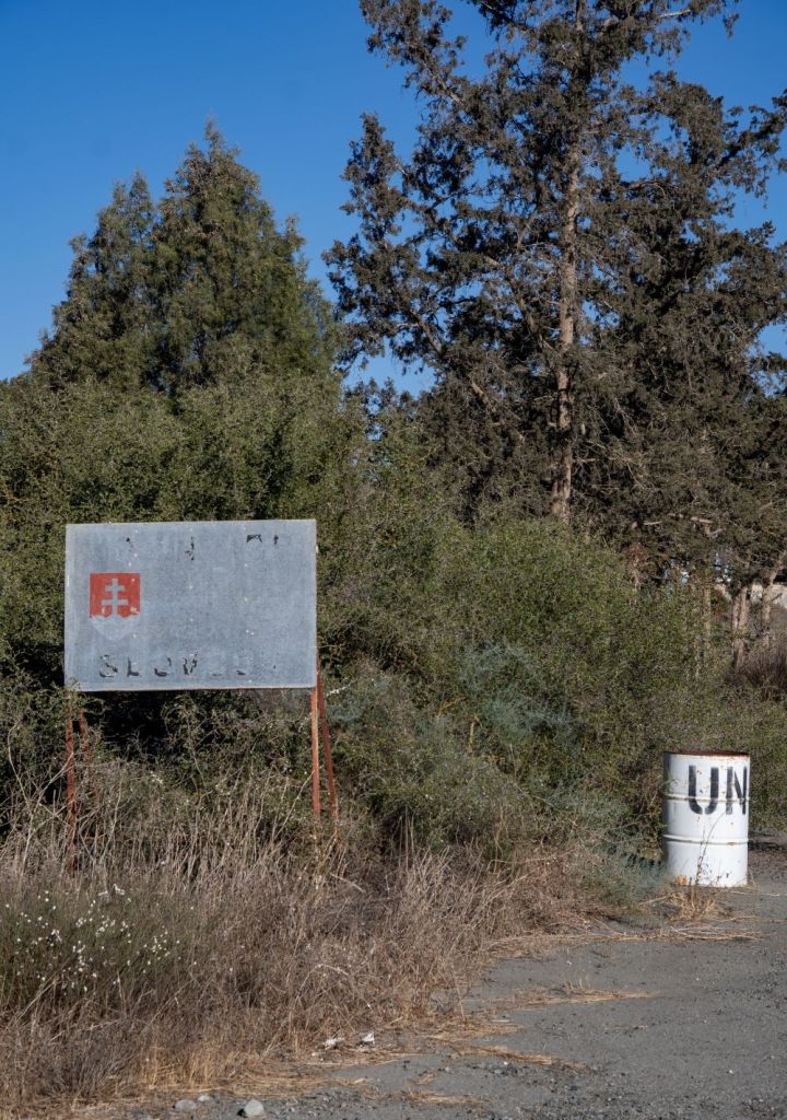
UN #139 Base
A well established base (Slovak troops) is visible from the road.


Point A
Two -thirds down the access road a roundabout is reached which provided views north into the TRNC.

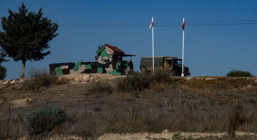
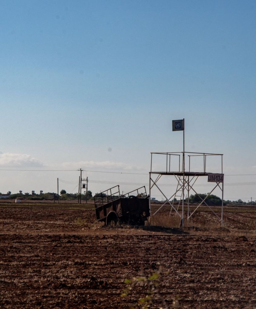
Further OP’s
On each side there were observation posts.

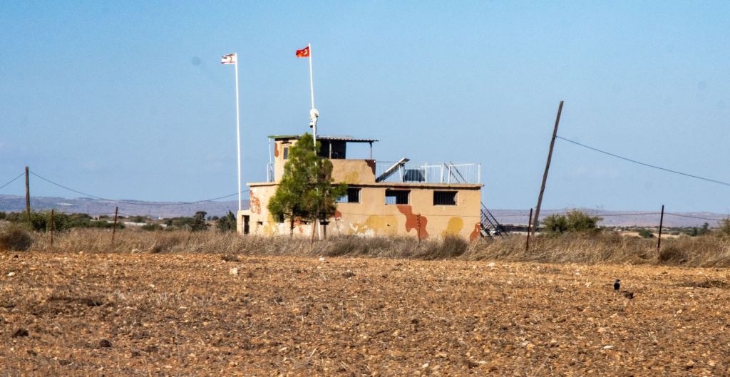
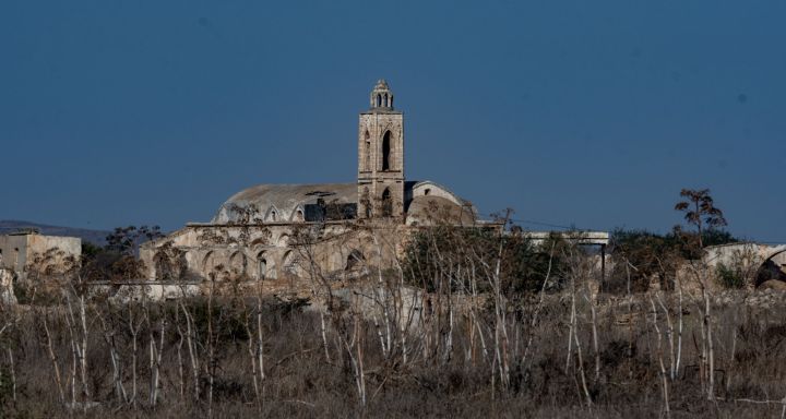
Duzce – an abandoned village.
The final POI on the road is an abandoned village, it is just north of the Buffer Zone and it is under the de facto control of the Turkish Republic of Northern Cyprus. It was an exclusively Greek Village, whose inhabitants fled due to the 1974 invasion.
Please click on the image below for more photos maps and analysis.
This was the last POI of this trip and we headed back to Larnaca airport for our flights home.

Date of Visit: 02 October 2024
