
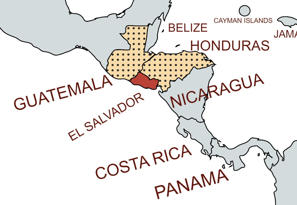
El Salvador, officially the Republic of El Salvador, is a country in Central America. It is bordered on the northeast by Honduras, on the northwest by Guatemala, and on the south by the Pacific Ocean. It has no land border with Nicaragua but shares ownership of the Gulf of Fonsca with both Nicaragua and Honduras. El Salvador is the smallest country in Central America, and is located entirely on the western side of the isthmus. It’s also the only Central American country without a Caribbean coast. Following its independence from Spain in 1821 El Salvador was a member of a number of short lived confederations before becoming fully independent in 1841. From the late 19th to the mid-20th century, El Salvador endured chronic political and economic instability characterized by coups, revolts, and a succession of authoritarian rulers supported by the United States. The conflict ended with the Chapultepec Peace Accords. This negotiated settlement established a multiparty constitutional republic, which remains in place to this day.
El Salvador has a multi-party system. It is a presidential representative democratic republic, whereby the President of El Salvador is both head of state and head of government, and of an executive power is exercised by the government. Legislative power is vested in both the government and the Legislative Assembly. The Judiciary is independent of the executive and the legislature.
El Salvador is a member of the United Nations and several of its specialized agencies, the Organization of American States (OAS), the Central American Common Market (CACM), the Central American Parliament (PARLACEN), and the Central American Integration System (SICA). It actively participates in the Central American Security Commission (CASC), which seeks to promote regional arms control. It is also a member of the WTO.
Border Facts
El Salvador is bordered on the northeast by Honduras, on the northwest by Guatemala, and on the south by the Pacific Ocean.
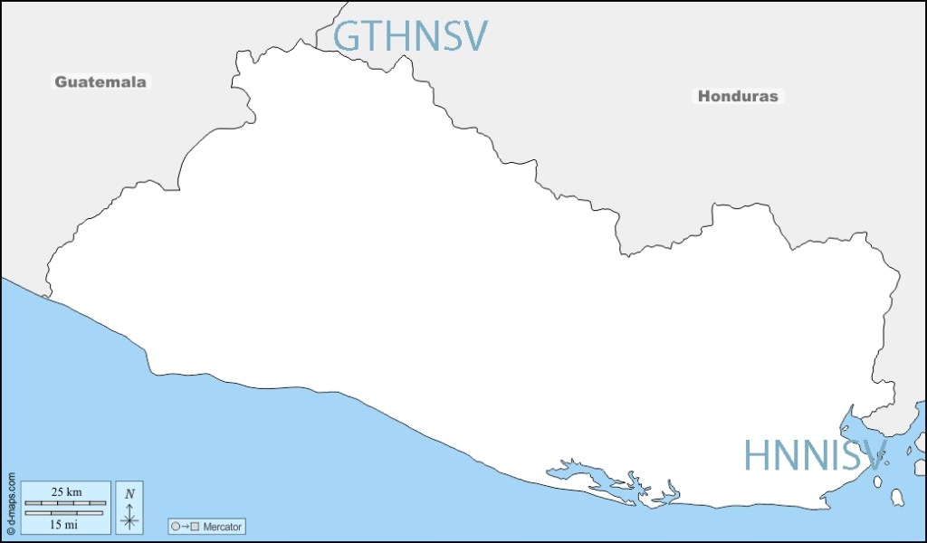
El Salvador – Guatemala border is 203 km long. From north to south, it starts in the tripoint GTHNSV of the two countries with Honduras, near the peak Monte Cristo in Volcanoes National Park,
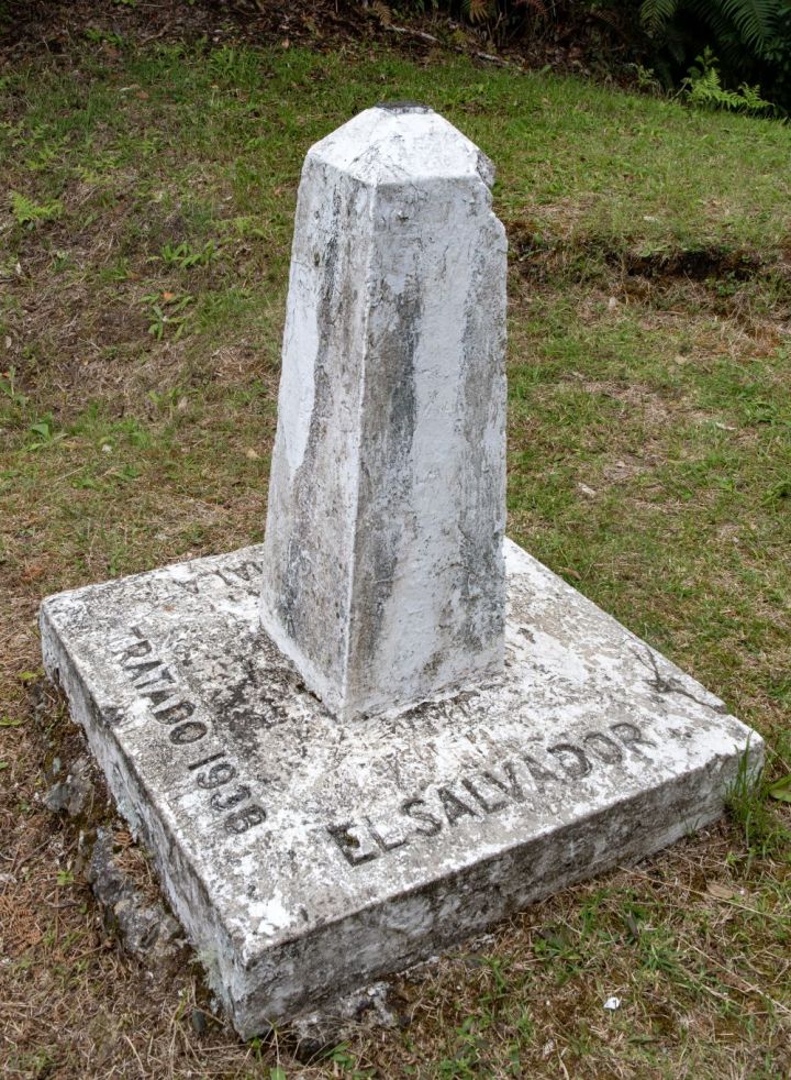
It separates the department of Jutiapa in Guatemala from Ahuachapan (north) and Santa Ana departments in El Salvador. It runs along 169 km of rivers, 31 km of straight-line segments and 2 mi 3.2 km in Lake Güija. It finished in the Rio Paz before reaching the Pacific Ocean. 530 boundary pillars were erected in 1940
There are several border crossings between the 2 countries
.
El Salvador – Honduras border 256 km long, to the east and north of the country. It runs in a south–north direction, running from the coast of Pacific Ocean and the tripoint configuration HNNISV in the Gulf of Fonseca, going to the beginning of the east–west stretch which heads towards the tripoint GTHNSV linking El Salvador – Honduras – Guatemala at Cerro Montecristo (2418m). The border was first established in 1841 when the two countries were part of the Federal Republic of Central America along with Nicaragua. In 1856, the three countries separated by setting the current international borders.
There are two official border crossing points – El Poy in the north and El Amatillo in the east.
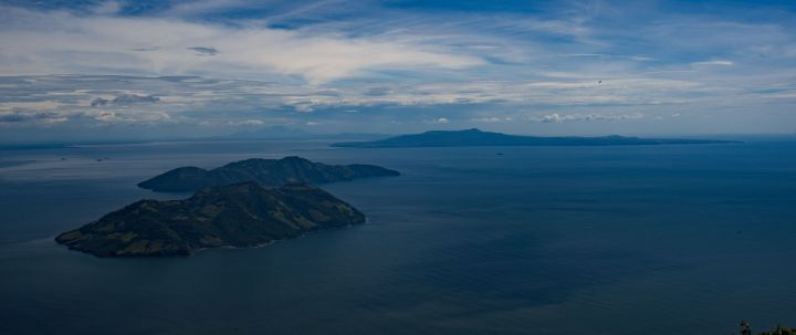
Isla Conejo (rabbit island), lies in the Gulf of Fonseca and is disputed between El Salvador and Honduras. In 1992 the ICJ arbitrated over the islands in the Gulf but Isla Conejo was omitted. it is 600m from the Honduras coastline and the case being arbitrated by the ICJ.
El Salvador – Nicuagua border do not share a land border. They do however do meet in the Gulf de Fonsca which is is jointly shared by 3 countries (including Honduras). HNNISV is a complex dual condominium of shared waters. The ICJ in 1992 determined that Nicaragua, Honduras and El Salvador were to share control of the remaining water area in the gulf as a “tridominium” shared in common. The littoral zones abut each other in a way that forms two separate areas of tridominium waters in the gulf.
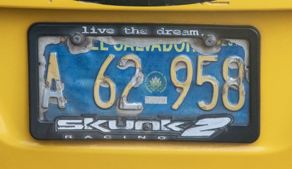
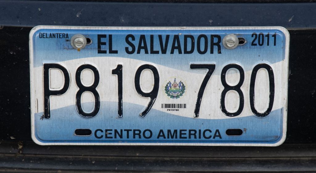
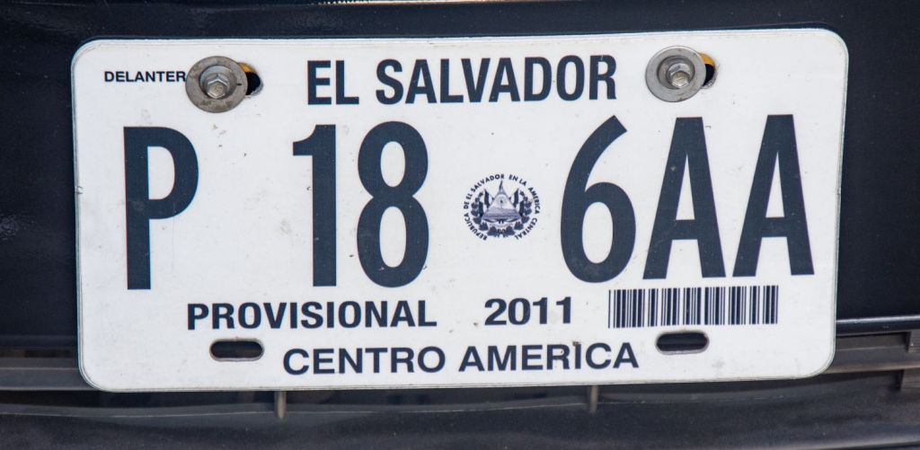
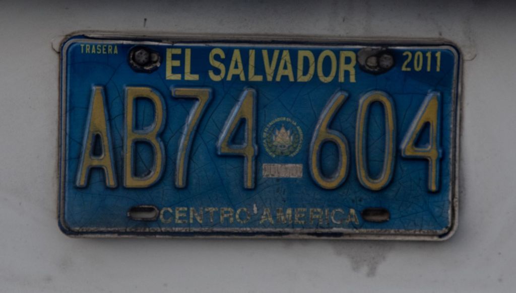
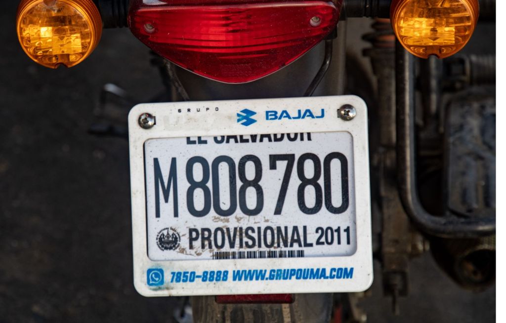
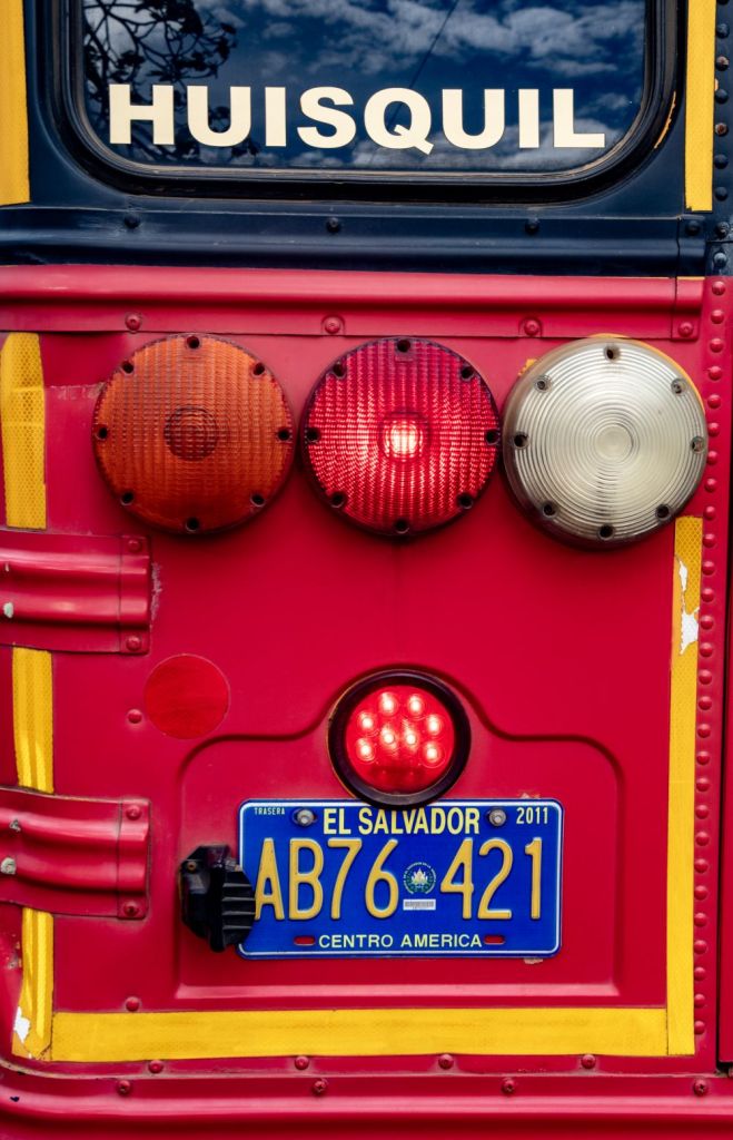
El Salvadoran Registration Plates
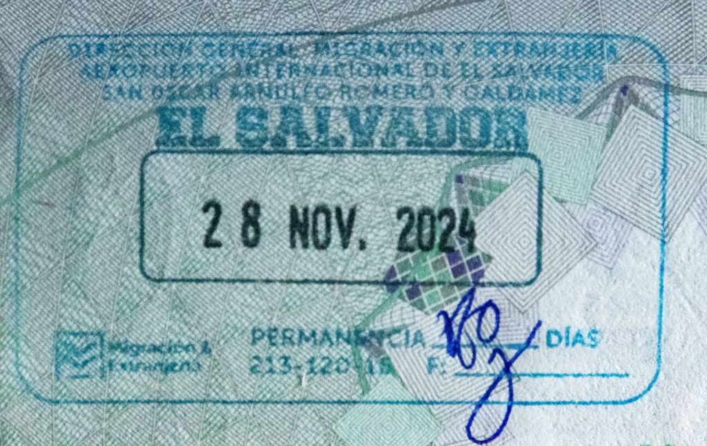
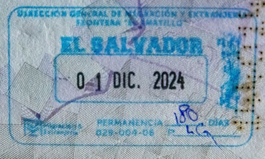
El Salvadoran Passport Stamps
El Salvadoran Tripoints
| number | name | country | coordinates | type | links/notes |
|---|---|---|---|---|---|
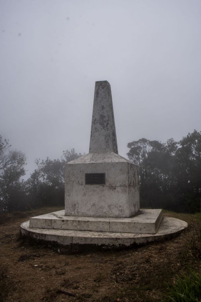
| 1 | GTHNSV | El Salvador – Guatemala – Honduras | 14°25′18″N 89°21′2″W | Dry | Cerro Montecristo (2418m). Westernmost tripoint in the world |
| 2 | HNNISV | El Salvador – Honduras – Nicaragua | 13°07’30″N 87°33’01″W | Wet | Golfo de Fonsca is jointly shared by the 3 countries. It is a historic bay with the characteristics of an enclosed sea, with a strip of territorial waters for each State and the remainder in the central part as condominium waters. The Gulf is divided into: 1) Territorial waters of each coastal State up to 3 miles from its continental coast. 2) Condominium waters (Joint Maritime Zone), formed as residues of the non-territorial body of water in the Gulf of Fonseca. Isla Conejo is contested between HNNI. |
Tripoint Gallery

Site Navigation
In order to find your way around the site, either click on the links (text in red) or use the menus at the top and side of the pages. About leads you to the main areas of the site. The European Tripoints menu leads directly you to my visit reports whereas the Country Visits page allows you to choose which country to look at first. Clicking on photos can lead you directly to reports too.

Mobile Users Advice
Tables display correctly when holding your mobile horizontally.
To access the links to other pages please click on the 3 horizontal dots at the bottom of the page

