Liechtenstein, officially the Principality of Liechtenstein (German: Fürstentum Liechtenstein is a doubly landlocked country in the Central European Alps. It is located between Austria to the east and north-east and Switzerland to the north-west, west and south. Formed in 1719, Liechtenstein became fully independent upon the dissolution of the German Confederation in 1866. Liechtenstein is Europe’s fourth-smallest country, with an area of just over 160 square kilometers and a population of 41,389. It is also a Monarchy. It is the world’s smallest country to border two countries, and is one of the few countries with no debt. Its official language is German.
It is a member of the United Nations, the European Free Trade Association, and the Council of Europe. It is not a member state of the European Union, but it participates in both the Schengen Area and the European Economic Area. It has a customs union and a monetary union with Switzerland, with its usage of the Swiss franc.
Liechtenstein is one of the world’s two doubly landlocked countries – countries wholly surrounded by other landlocked countries (the other is Uzbekistan). Liechtenstein is the sixth-smallest sovereign state in the world by area.
Border Facts
Liechtenstein is situated in the Upper Rhine valley of the European Alps and is bordered to the east by the Austrian state of Vorarlberg, to the south by the canton of Grisons (Switzerland) and to the west by the canton of St. Gallen (Switzerland). The Rhine forms the entire western border of Liechtenstein. Measured south to north the country is about 24 km long.
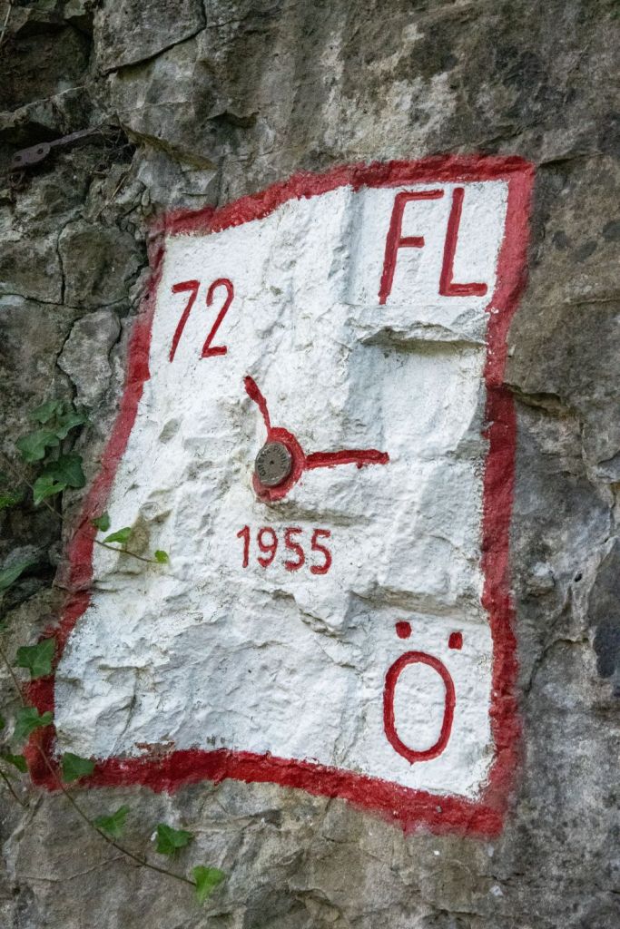
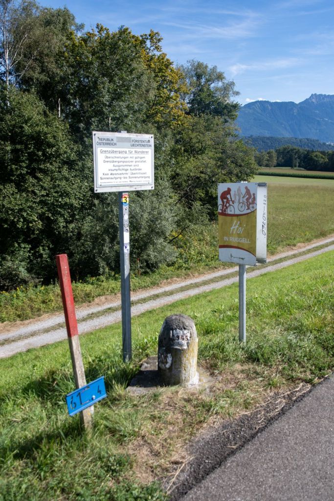
Liechtenstein – Austria Border is 34 km along the eastern and northern sides of Liechtenstein, separating it from the Austrian state of Vorarlberg. While the border is mostly natural, a recent 2024 agreement established a straight-line demarcation across a new artificial lake to simplify the border where it previously followed an old moat. After Austria joined the European Union, the Liechtenstein-Austria border became the border between the principality and the EU.

Liechtenstein – Switzerland Border – is 37 km long and consequently creates 2 additional tripoints, one on the Rhine and one on the summit of Naafkopf. Largely defined by the Rhine River in the west and the Alps (Rätikon range) in the south. It’s an open border, part of the Schengen Area, meaning no passport checks for travelers moving between the two countries. They share a customs union (since 1924) and the Swiss Franc (CHF) is Liechtenstein’s currency, creating a strong economic union. Switzerland represents Liechtenstein’s diplomatic interests in many countries, with a strong, integrated relationship.
Liechtenstein Registration Plates


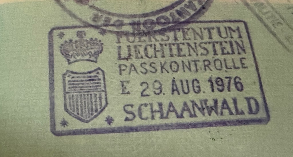
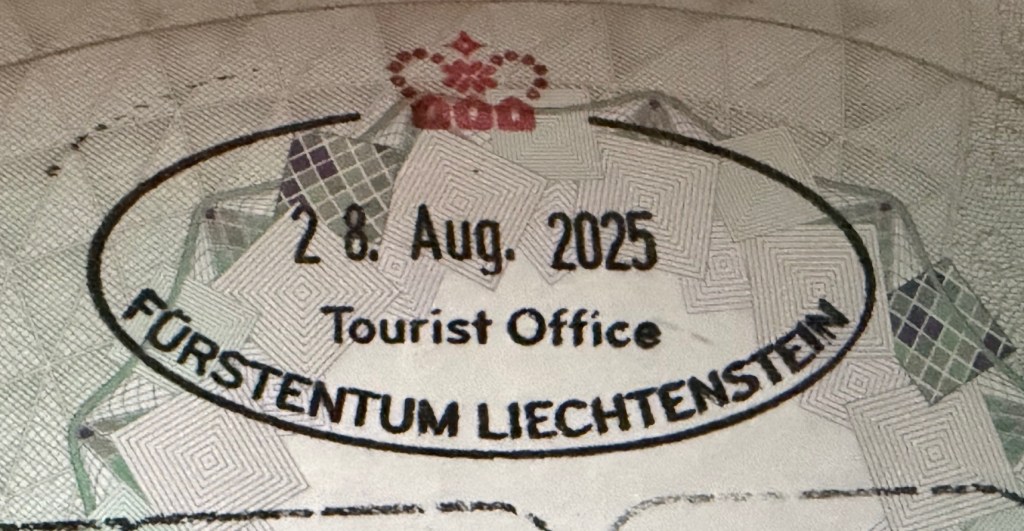
Liechtenstein Passport Stamps
Liechtenstein Tripoints
| Number | Name | Countries | Coordinates | Type | Notes |
|---|---|---|---|---|---|
| 1 | ATCHLIn | Austria – Switzerland – Liechtenstein | 47°16’11″N 09°31’49″E | Wet | The tripoint is located in the river Rhine, south of the Bangs-Lienz (ATCH) border crossing. The ATLI border is demarcated and there are border markers on each side of the Rhine with BM#135 in AT commonly described as marking the westernmost point of Austria. BM#136 in CH is the tripoint marker. Van der Giessen (2024) |
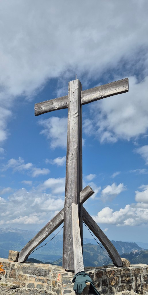
| 2 | ATCHLIs | Austria – Switzerland – Liechtenstein | 47°03’35″N 09°36’24″E | Dry | The tripoint is located on the summit of the Naafkopf, a mountain in the Rätikon Alps. The tripoint is marked by a large wooden cross on a brick base that extends in three directions. Naafkopf is the third highest peak in Liechtenstein. Most people approach on the northeastern ridge which marks the Austrian-Liechtenstein border via the Pfälzerhütte, one of the two refuges operated by the Liechtenstein Alpine club. |
Tripoint Gallery
Please click on the images below for full tripoint visit report.

Site Navigation
In order to find your way around the site, either click on the links (text in red) or use the menus at the top and side of the pages. About leads you to the main areas of the site. The European Tripoints menu leads directly you to my TP visits reports whereas the Country Visits page allows you to choose which country to look at first.

Mobile Users Advice
Tables display correctly when holding your mobile horizontally.
To access the links to other pages please click on the 3 horizontal dots at the bottom of the page.