
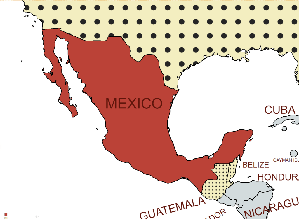
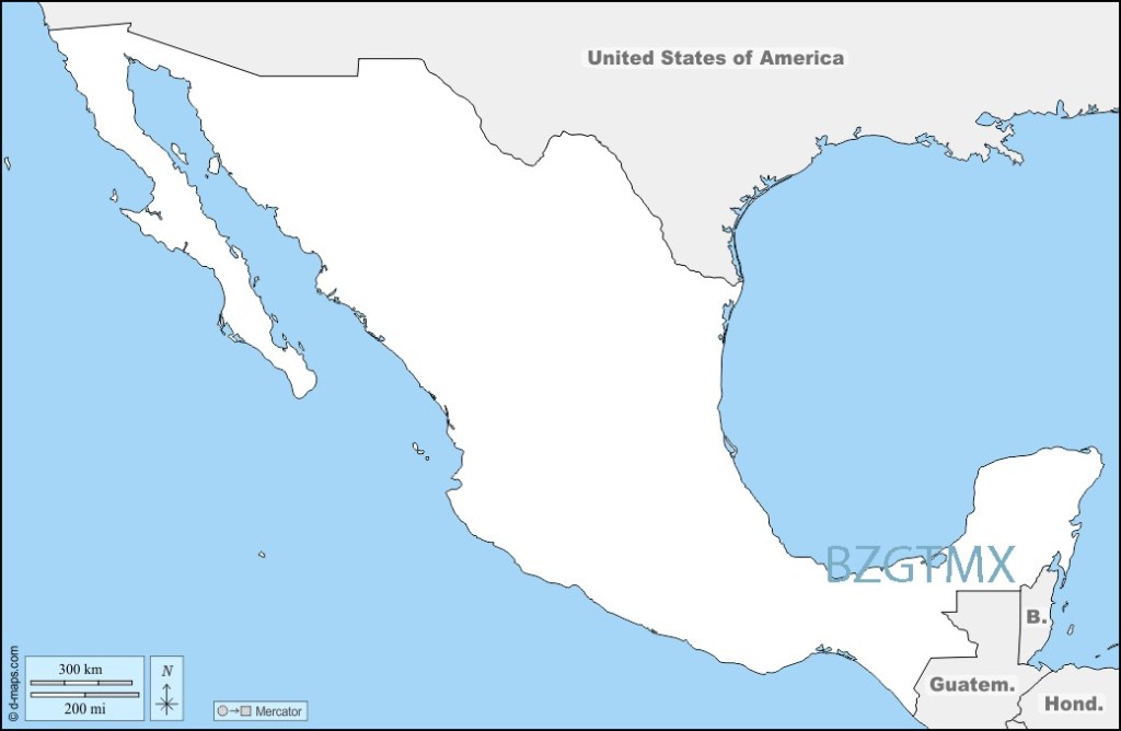
Mexico, officially the United Mexican States, is a country in the southern portion of North America. The country shares land borders with the United States to the north, with Guatemala and Belize to the southeast; as well as maritime borders with the Pacific Ocean to the west, the Caribbean Sea to the southeast, and the Gulf of Mexico to the east.
Mexico is a constitutional republic comprising 31 states and Mexico City, its capital and largest city, which is among the world’s most populous metropolitan areas. It is a major tourist destination with a substantial number of UNESCO World Heritage Sites.
Mexico is a newly industrialized and developing country, with the world’s 12th-largest economy by nominal GDP and 12th-largest by PPP. Mexico’s large economy and population, global cultural influence, and steady democratization make it a regional and middle power, and it is increasingly identified as an emerging power. Although Mexico has made significant political and socioeconomic gains in recent decades, it continues to struggle with social inequality, poverty, systemic corruption, and extensive crime with ongoing conflict between federal authorities and organised drug cartels.
Mexico is a member of United Nations, the G20, the Organisation for Economic Co-operation and Development (OECD), the World Trade Organization (WTO), the Asia-Pacific Economic Cooperation forum, the Organization of American States, Community of Latin American and Caribbean States, and the Organization of Ibero-American States.
Time Zones
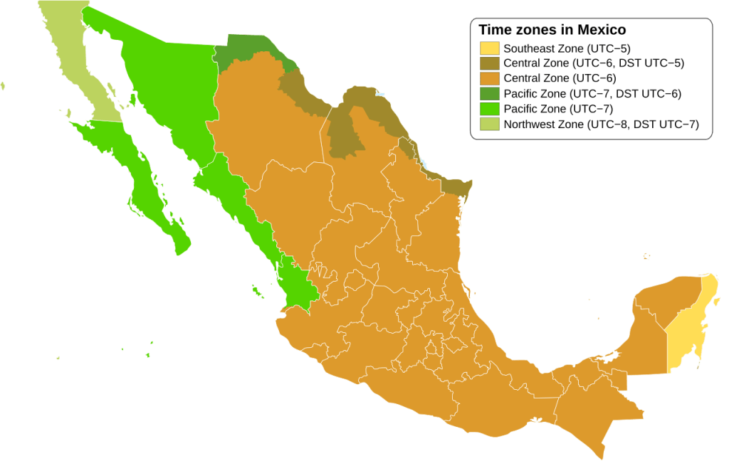
Mexico has four standard time zones, which mirror the time zones in the contiguous United States.
The central and most of the eastern parts of the country, including its capital Mexico City and most of Chihuahua observe Central Standard Time (Zona Centro).
Most of western Mexico, including Baja California Sur, Nayarit, Sinaloa, and Sonora, use Mountain Standard Time (Zona Pacífico). These two areas, covering nearly all of Mexico, are flanked by much smaller time zones in the country’s far east and far west. Baja California, bordering California and the Pacific Ocean, is on Pacific Standard Time (Zona Noroeste); Quintana Roo, Mexico’s easternmost state, observes Eastern Standard Time (Zona Sureste).
Mexico abolished Daylight Saving Time (DST) in most of the country on October 30, 2022. However, most municipalities near the country’s northern border follow the DST schedule of the United States.
Border Facts
Mexico shares international borders with three nations: to the north the United States–Mexico border; to the southeast, the Belize–Mexico border, and also to the southeast the Guatemala–Mexico border. In addition Mexico shares a maritime border with 5 nations: in the Pacific Ocean with Guatemala and the United States, in the Atlantic Ocean with the United States and within the Caribbean with Belize, Cuba, and Honduras
Mexico – United States border extends 3,145 kilometres, in addition to the maritime boundaries of 29 km into the Pacific Ocean and 19 km into the Gulf of Mexico. From the Gulf of Mexico, it follows the course of the Rio Grande (Río Bravo del Norte) to the border crossing at Ciudad Juárez, Chihuahua, and El Paso, Texas. Westward from El Paso–Juárez, it crosses vast tracts of the Chihuahuan and Sonoran deserts to the Colorado River Delta and San Diego–Tijuana, before reaching the Pacific Ocean.
Treaty of Guadalupe Hidalgo (1848) established the United States-Mexico international boundary. The treaty established temporary joint commissions to survey, map, an demarcate with ground landmarks the new United States – Mexico boundary. Since then there have been a series of further conventions and treaties to refine and further clarify the course of the border, the last being the1970 treaty referring to the Rio Grande and the Colorado River
The U.S. states along the border, from west to east, are California, Arizona, New Mexico, and Texas. The Mexican states along the border are Baja California, Sonora, Chihuahua, Coahuila, Nuevo León, and Tamaulipas. Among the U.S. states, Texas has the longest stretch of the border with Mexico, while California has the shortest. Among the states in Mexico, Chihuahua has the longest border with the U.S., while Nuevo León has the shortest.
There are 48 U.S.–Mexico border crossings, with 330 ports of entry. The San Ysidro Port of Entry is located between San Ysidro, California and Tijuana, Baja California. Approximately 50,000 vehicles and 25,000 pedestrians use this entry daily. In the U.S., I-5 crosses directly to Tijuana, and the highway’s southern terminus is this crossing. This is the busiest border crossing in the world.
The Wall
The Trump wall, commonly referred to as “The Wall”, is an expansion of the Mexico–United States barrier that started during the U.S. presidency of Donald Trump and was a critical part of Trump’s 2016 presidential campaign platform leading up to the year’s election. Throughout his campaign, Trump called for the construction of a border wall. He said that, if elected, he would “build the wall and make Mexico pay for it”. This of course did not happen. The U.S. built new barriers along 732 km, 79 km of which previously had no barrier. Much of the remainder consists of 9.1 m steel bollard wall where previously there had been fencing or vehicle barriers. Since 2021 building has effectively stopped.
Mexico -Belize border is 250 km and almost exclusively follows the course of the Hondo River. It separates Belize from the Mexican state of Quintana Roo. The border was established through a treaty in 1893. In early 2007, the Ministry of Foreign Affairs of Mexico announced an agreement with Belize for the delimitation of the maritime boundary in the Bay of Chetumal.
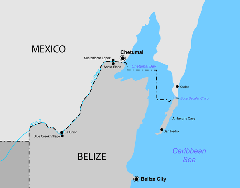
Under the treaty, the border starts at Boca Bacalar Chico, a narrow channel that separates the southern tip of the Caribbean coast of the Yucatan Peninsula and Ambergris Caye. It then runs through Chetumal Bay in a broken line up to the mouth of the Hondo River. The border follows the Hondo River through its deepest channel and then along its tributary, Blue Creek, until it reaches the meridian of Garbutt’s Falls (approximately 89° 9′ W). From this point, it runs directly south to 17° 49′ N latitude, the border established between Mexico and Guatemala and the tripoint at BZGTMX.
There are currently 2 border crossings between the 2 countries, firstly via the Puente Internacional Santa Elena between Subteniente López (MX) and Sta Elena (BZ) and secondly via the nearby Chac-Temal International Bridge. Smaller crossing points exist for example between La Union (MX) and Blue Creek Village (GT). There are unofficial crossing points elsewhere on the border.
Mexico – Guatemala border is 871 km long. It marks the division between northern and central America. It runs between north and west Guatemala (the Guatemalan departments of San Marcos, Huehuetenango, El Quiché and El Petén) and the Mexican states of Campeche, Tabasco and Chiapas.
The border includes stretches of the Usumacinta River, the Salinas River, and the Suchiate River. The border was established by treaty in 1882. Mexico and Guatemala agreed to use straight lines between key points known and accepted by both countries. Two such points are the tripoint with Belize at the Aguas Turbias monument, and Volcán Tacaná (4060m). The measurement and demarcation work was completed in 1899.
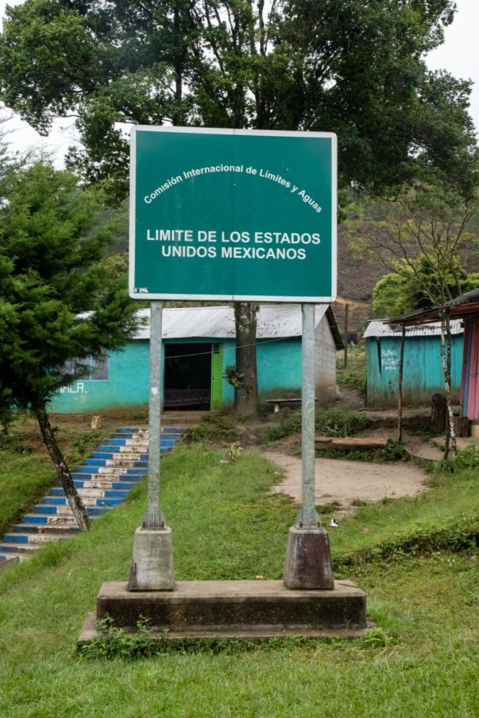
Mexico has some fencing along its southern border with Guatemala to restrict illegal migration and the drug trade. Mexico’s border with Guatemala has 10 border crossings.
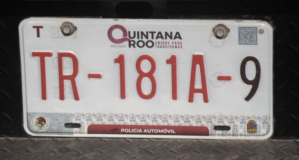
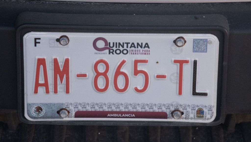
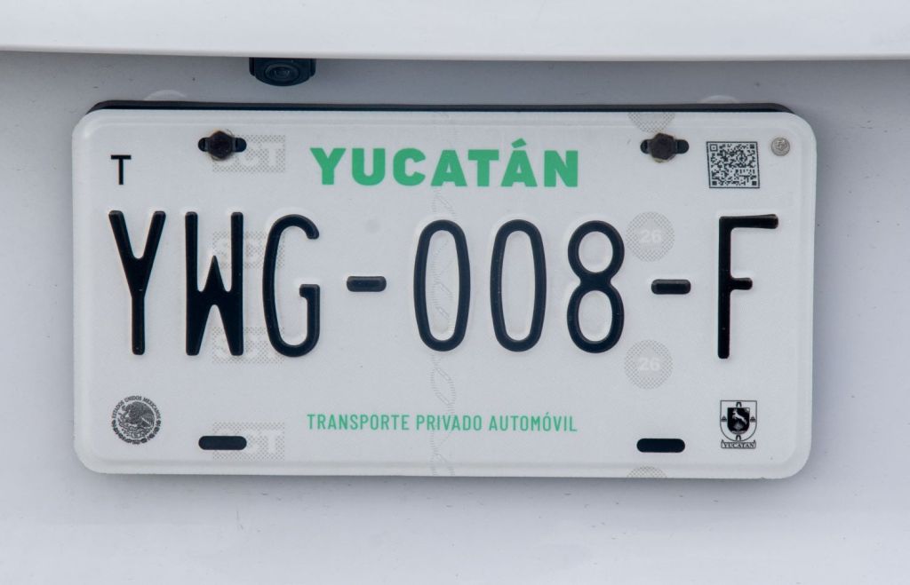
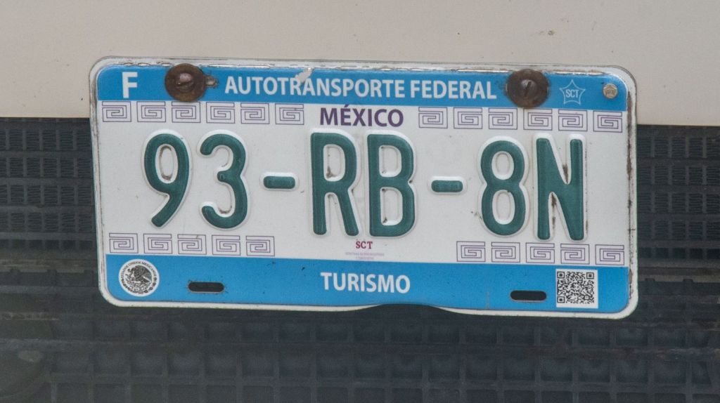
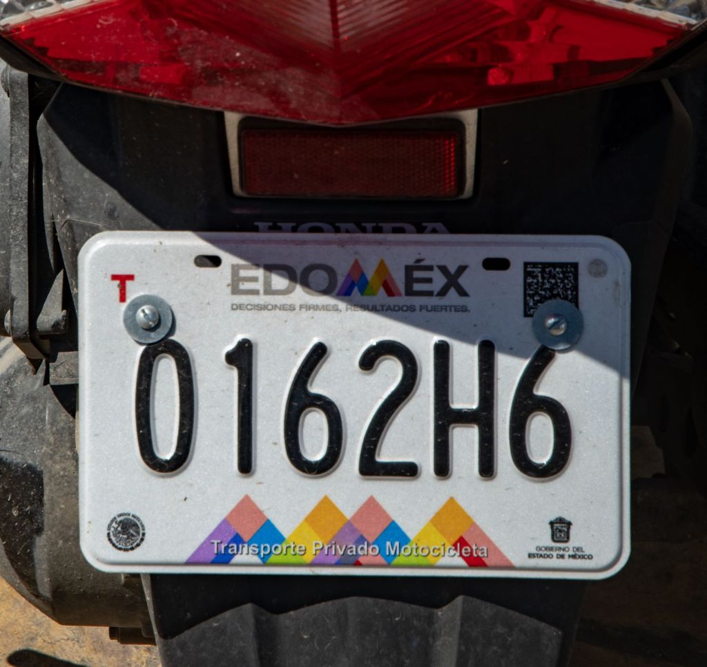
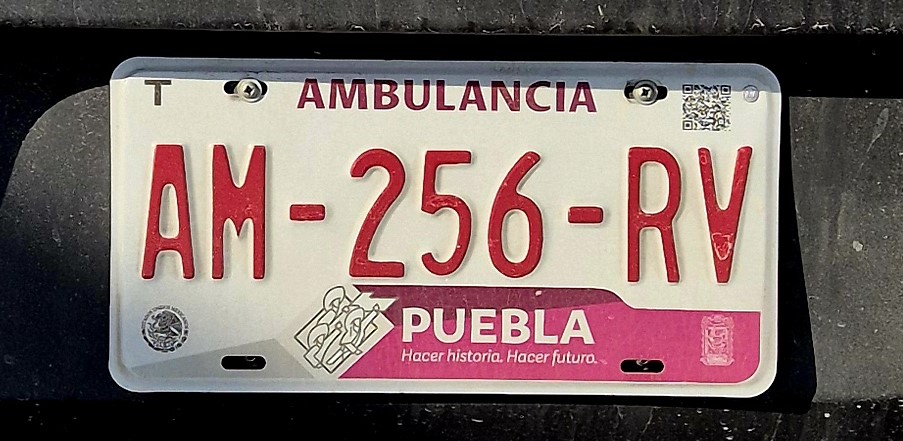
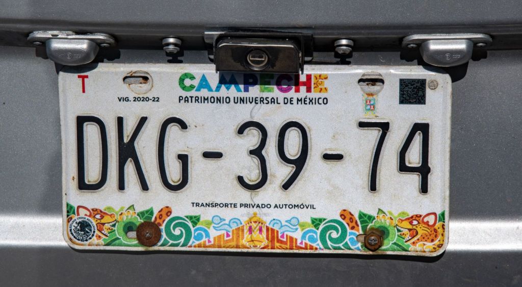
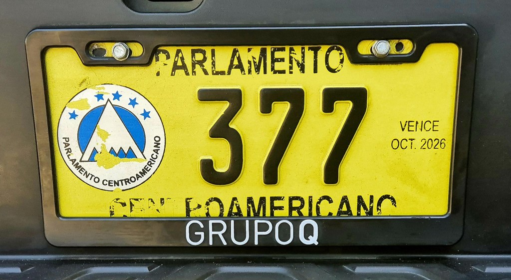
Mexican Registration Plates
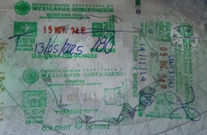
Mexican Passport Stamps

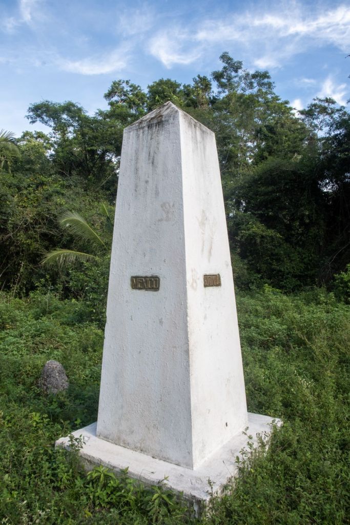
Mexican Tripoints
| number | name | country | coordinates | type | links/notes |
|---|---|---|---|---|---|
| 1 | BZGTMX | Belize – Guatemala – Mexico | 17°48′56″N 89°9′7″W | Dry | Tripoint is situated at the Aguas Turbias monument. BZGT (2002) surveying of the border has led to no change. |
Tripoint Gallery

Site Navigation
In order to find your way around the site, either click on the links (text in red) or use the menus at the top and side of the pages. About leads you to the main areas of the site. The European Tripoints menu leads directly you to my visit reports whereas the Country Visits page allows you to choose which country to look at first. Clicking on photos can lead you directly to reports too.

Mobile Users Advice
Tables display correctly when holding your mobile horizontally.
To access the links to other pages please click on the 3 horizontal dots at the bottom of the page

