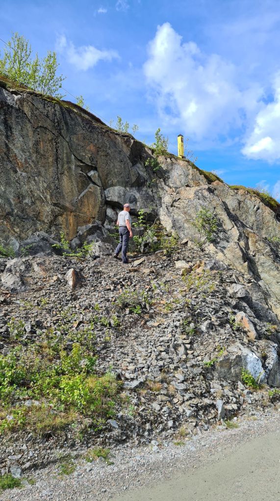
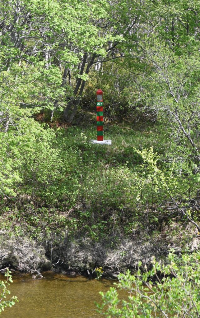
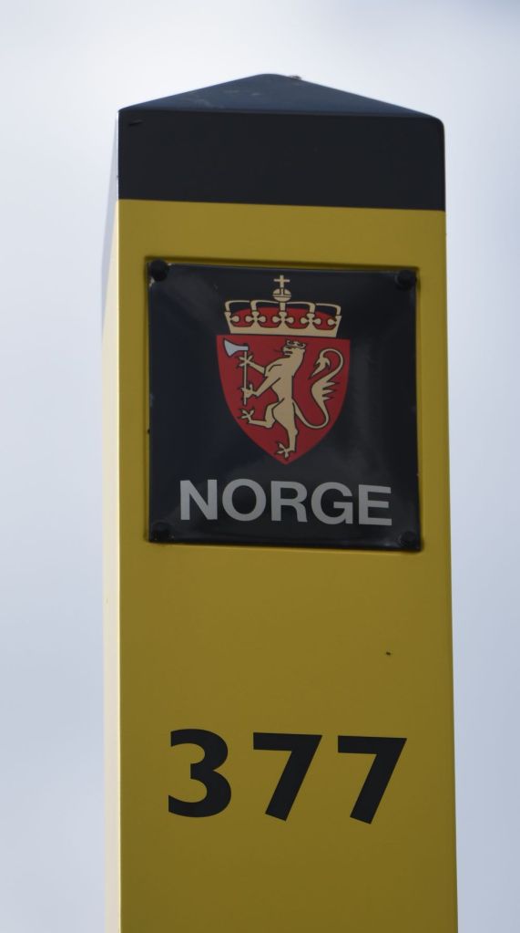
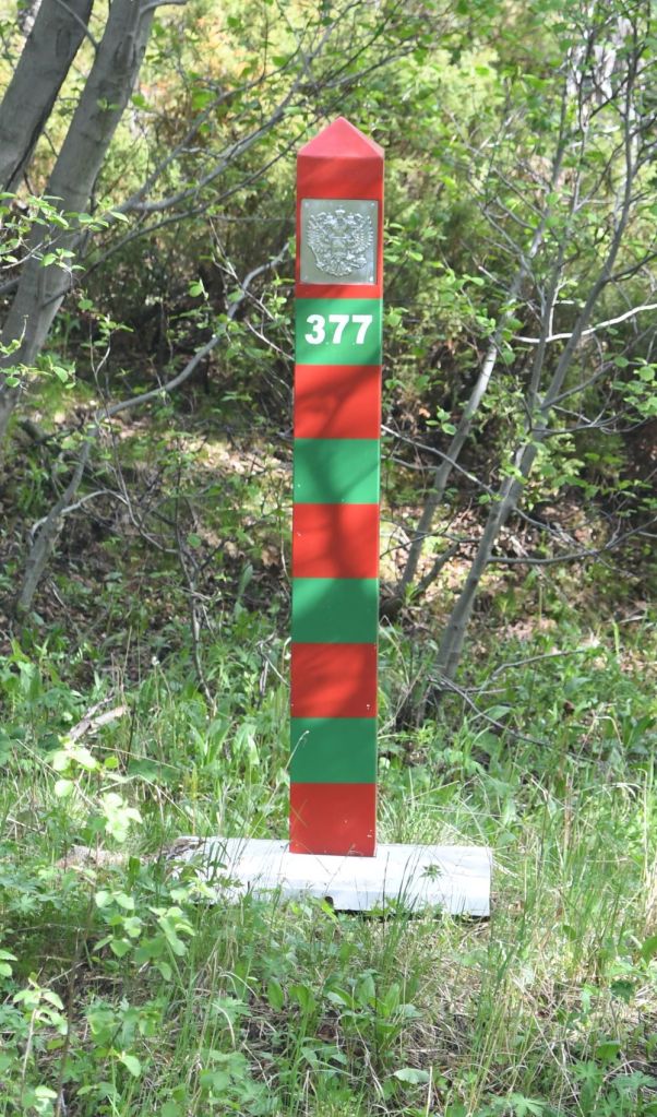
Travelling north on road 8860 it is not long before we reach the Jakobselva (Jacobs River) which is the border between Norway and Russia. The river runs along the border of Sør-Varanger Municipality in Finnmark county, Norway, and Pechengsky District in Murmansk Oblast, Russia. The land on the Russian side of the border is part of a border zone with restricted access. The Norwegian markers are yellow with a 18 centimetres tall black top—this was chosen because it would be most visible in all types of weather and lighting. The Russian markers have a pattern of alternating red (19cm wide) and green (17cm wide) bands. The red was chosen to symbolize the Flag of the Soviet Union, while the green symbolized the colour of the border guards’ uniforms. Both poles have the respective country’s coat of arms on the side facing the border. While originally made of wood, the border markers are now made of composite materials. Whereas on land border markers are 4m apart, on this river it is dependent on the terrain. The border is NOT the middle of the river, but is at the deepest point.
I visited this point as part of the IBRG ARTEX-24 expedition.


Date of Visit: 15 June 2024
