

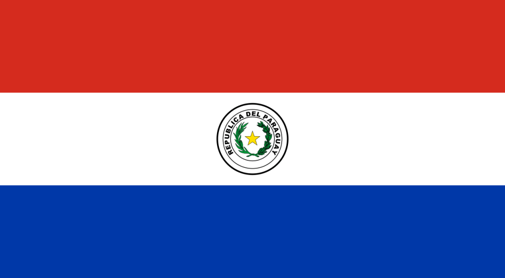
Paraguay (Guarani: Paraguái), officially the Republic of Paraguay, is a landlocked country located in the central region of South America. It borders Bolivia to the northwest and north, Brazil to the northeast and east, and Argentina to the southeast, south, and west. Paraguay has access to the Atlantic Ocean via the Paraná–Paraguay Waterway. The country is governed as a unitary presidential republic composed of a capital district and seventeen departments. Its capital and largest city is Asunción.
Paraguay was colonised by Spain in 1524, and was in part characterised by Jesuit missions that converted the indigenous population to Christianity. Following independence from Spain in the early 19th century, Paraguay was ruled by a series of authoritarian governments. This period ended with the disastrous Paraguayan War (1864–1870), during which the country lost half its prewar population and around 25–33% of its territory. In the 20th century, Paraguay faced another major international conflict—the Chaco War (1932–1935) against Bolivia—in which Paraguay prevailed. It subsequently came under a succession of military dictators, culminating in the 35-year regime of Alfredo Stroessner, which lasted until his overthrow in 1989 by an internal military coup. This marked the beginning of Paraguay’s current democratic era.
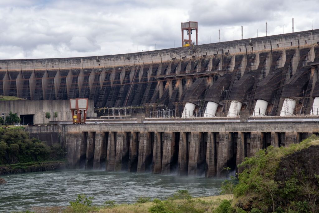
Paraguay is a developing country, ranking 99th in the Human Development Index, with the seventh highest GDP in South America. As of 2024, it had one of the fastest growing economies in the Western Hemisphere, driven by beef and soya bean exports, manufacturing, and construction. Paraguay is one of the world’s leading exporters of hydroelectricity; the Itaipu Dam on the Paraná River border with Brazil is the third largest hydroelectric dam in the world in terms of produced energy. Paraguay is a founding member of Mercosur, the United Nations, the Organization of American States, the Non-Aligned Movement and the Lima Group.
The majority of Paraguay’s 6 million people are mestizo, and Guarani culture remains widely influential; more than 90% of the population speak various dialects of the Guarani language alongside Spanish—the highest rate of fluency in an indigenous language in Latin America.
Paraguay is a representative democratic republic, with a multi-party system and separation of powers across three branches. Executive power is exercised solely by the President, who is head of state and head of government. Legislative power is vested in the two chambers of the National Congress. The judiciary is vested on tribunals and Courts of Civil Law and a nine-member Supreme Court of Justice, all of them independent of the executive and the legislature.
Since the end of the 1947 civil war, the country’s politics have generally been dominated by the conservative Colorado Party.
Border Facts
Paraguay borders Bolivia to the northwest and north, Brazil to the northeast and east, and Argentina to the southeast, south, and west.
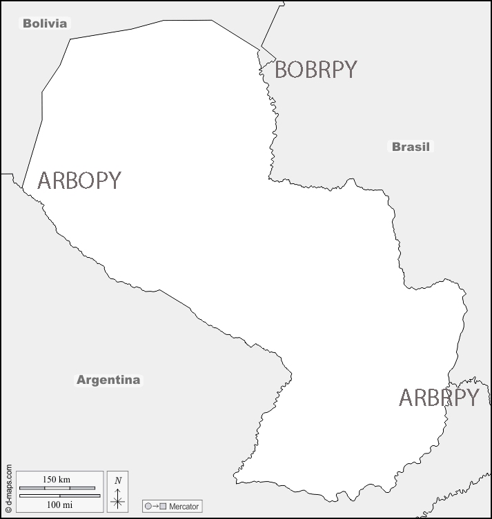
Paraguay- Argentina border is 1689 km long and is solely defined by three major rivers: the Pilcomayo, Paraná and Paraguay, being one of the largest natural borders in the world. The capital of Paraguay, Asunción, lies on one of the banks of the Paraguay River, which borders Argentina. It starts at the AGBOPY tripoint in the west and finishes at the AGBRPY tripoint in the east, which is possibly the most touristic tripoint in the world being close to the world famous Iguazú Falls, located on the border with Brazil. The border has a multitude of border crossings including bridges and ferries.


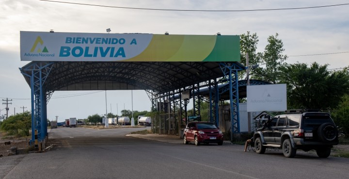
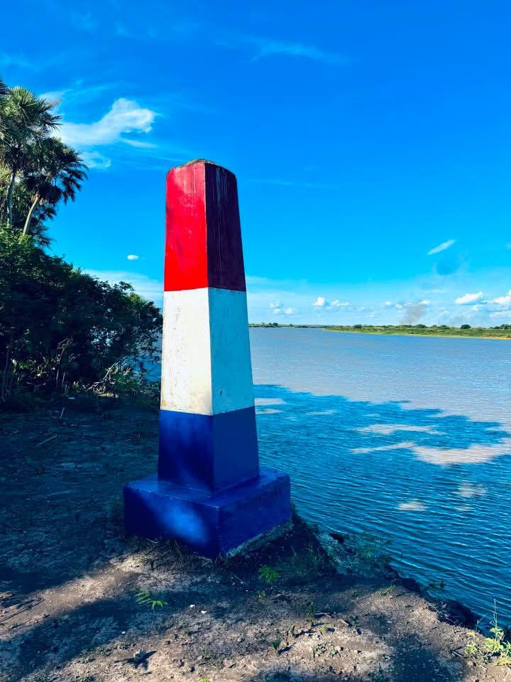
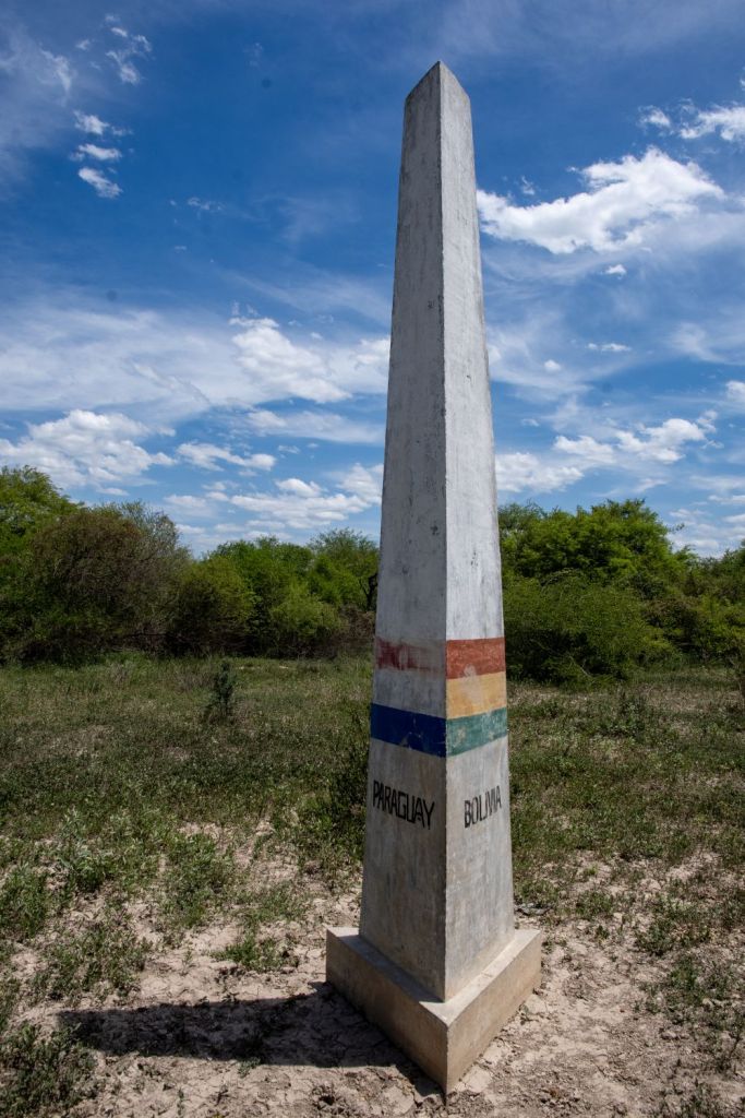
Paraguay – Bolivia border is 742 km long. It begins in the east at the AGBOPY tripoint near the town of La Esmeralda on the Pilcomayo River, it then moves in a north-northeast direction towards the summit of Cerro Capitán Ustares, where it turns east to the town of Fortín Galpón , where it follows a line south along the Paraguay River , ending at the BOBRPY tripoint. It is demarcated by 11 markers ( Marker I to Marker X plus the tripoint marker at BOBRPY). Markers I to X are connected to each other by straight lines, while Marker X is connected to the tripoint marker by a watercourse
There is a border post near the Paraguayan town of Infante Rivarola .
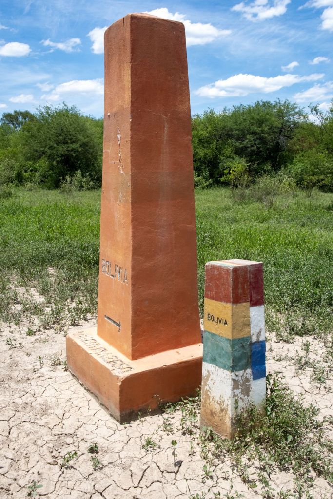

The current border line has existed since 1938 and was established by a treaty concluded in Buenos Aires after the end of the Chaco War (1932-1935) between the two countries.
Paraguay – Brazil border is 1370 km long and begins in the south at the famous ARBRPY tripoint and the friendship bridge between Foz do Iguaçu and President Franco and ends in the triple border with Bolivia, near the Paraguayan city of Bahía Negra and the BOBRPY tripoint. On the border between Brazil and Paraguay, lies the Itaipu Hydroelectric Power Plant, which is one of the largest hydroelectric plants in the world in terms of annual energy generation. The Paraguay–Brazil Integration Bridge just north of the ARBRPY tripoint is due to open in December 2025, the bridge is completed for some time but its opening has been delayed due to the lack of connecting infrastructure.


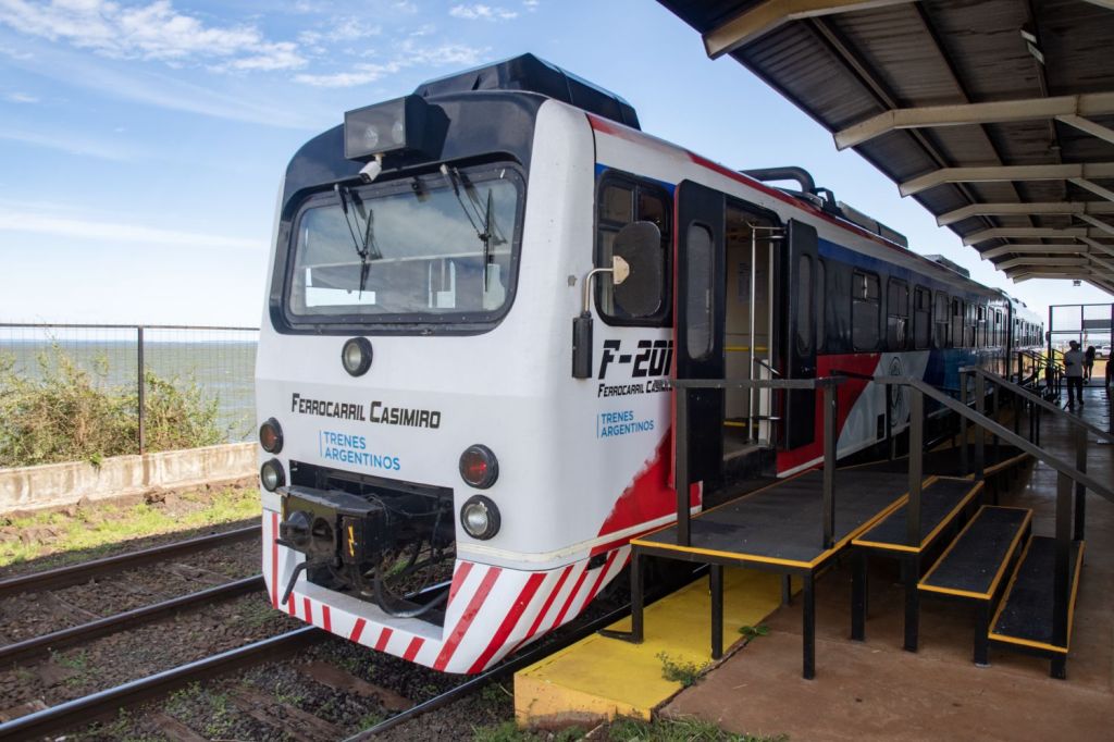
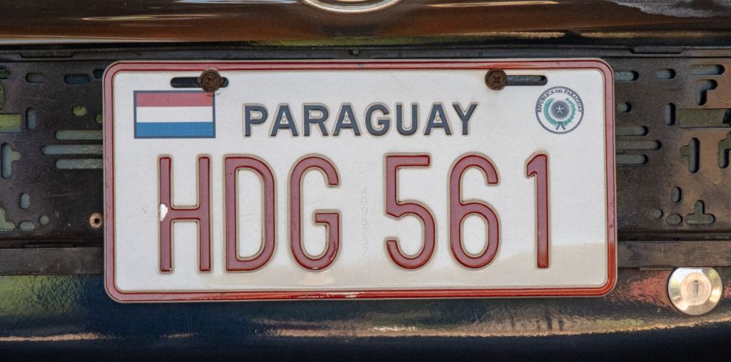
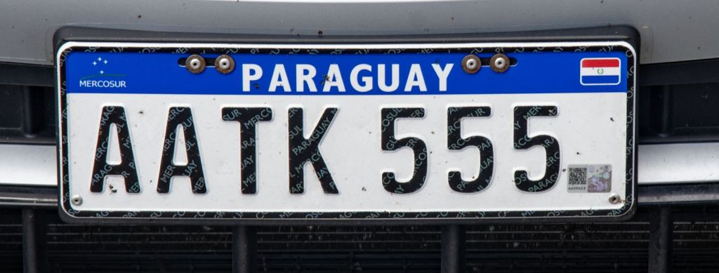
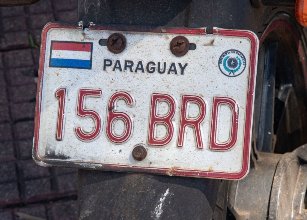
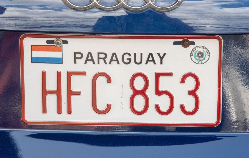
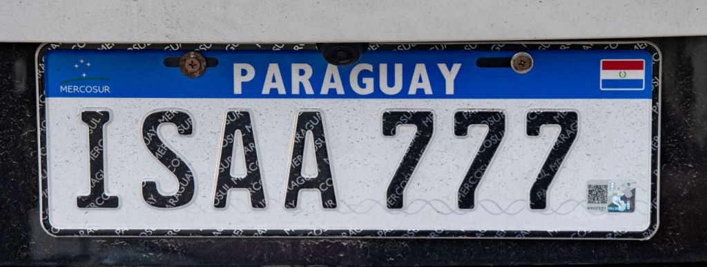
Paraguayan Number Plates

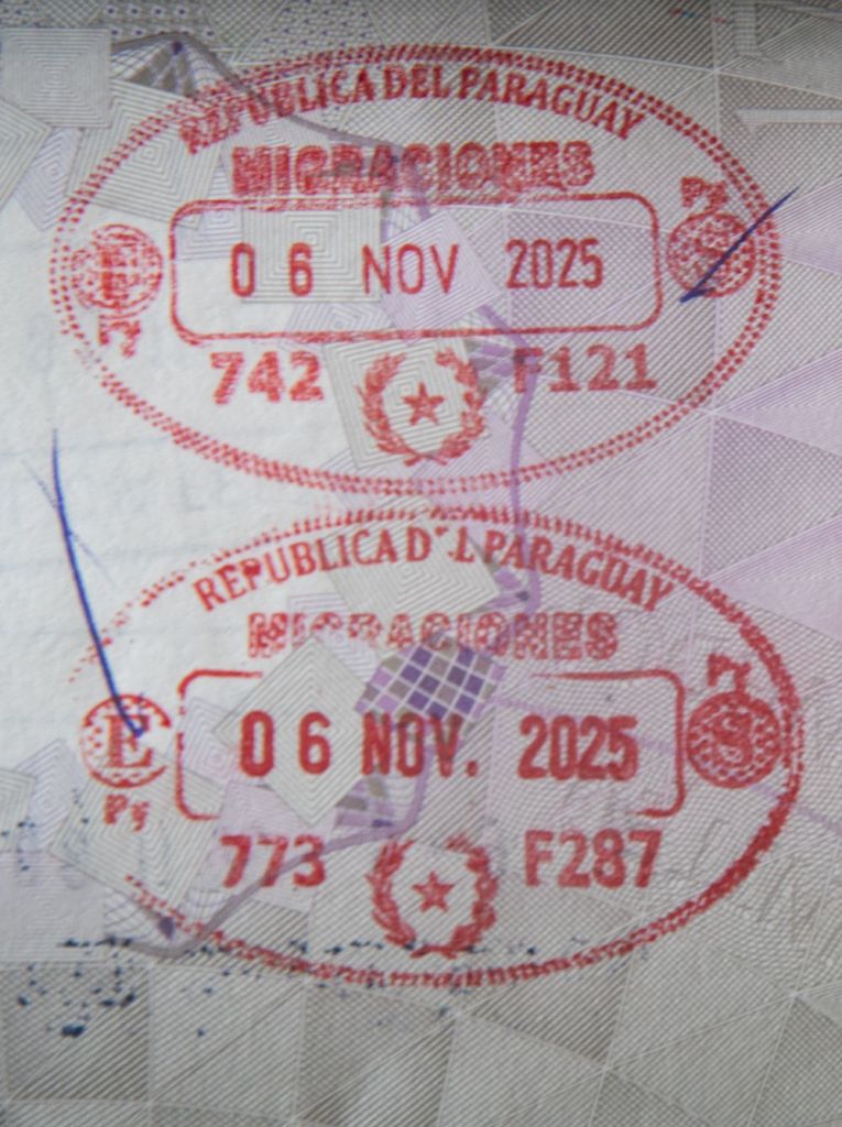
Paraguayan Passport Stamps

Paraguayan Tripoints
| Number | Name | Country | coordinates | Type | Notes |
|---|---|---|---|---|---|
| 1 | ARBOPY | Argentina – Boliva – Paraguay | 22°14′S 62°39′W | Wet | Hito Esmeralda is at the edge of the Pilcomayo River. Marked by a concrete pillar, Names and flags of respective countries. Possibly now dry due to alluvial deposits |
| 2 | ARBRPY | Argentina – Brazil – Paraguay | 25°35′33″S 54°35′37″W | Wet | 3 Fronteiras is where the where the Iguazú and Paraná rivers converge. A new bridge across the Paraná river has been bult just north of the tripoint. |
| 3 | ARBRUY | Argentina – Brazil – Uruguay | 30°12′S 57°39′W | Wet | Disputed with the ownership of Brasilera Island contested between Brazil and Uruguay. 2 monuments, one on BR mainland and one on the island close to the TP. Southernmost tripoint in the world |
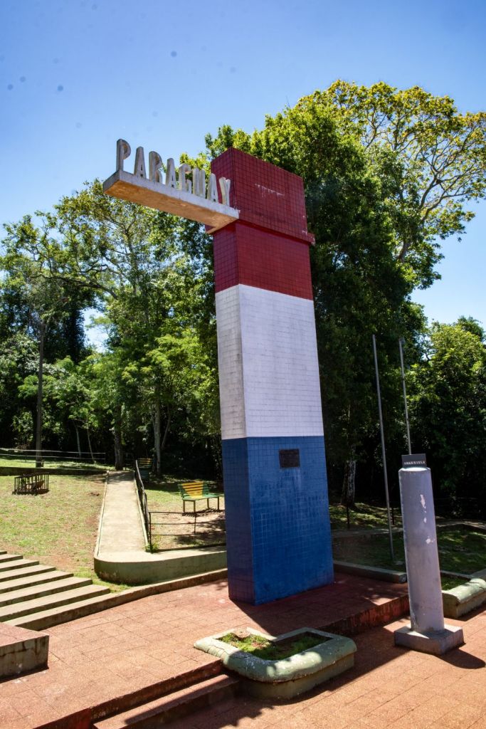
Tripoint Gallery


Site Navigation
In order to find your way around the site, either click on the links (text in red) or use the menus at the top and side of the pages. About leads you to the main areas of the site. The European Tripoints menu leads directly you to my visit reports whereas the Country Visits page allows you to choose which country to look at first. Clicking on photos can lead you directly to reports too.
Mobile Users Advice
Tables display correctly when holding your mobile horizontally.
To access the links to other pages please click on the 3 horizontal dots at the bottom of the page

