
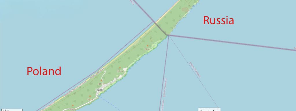
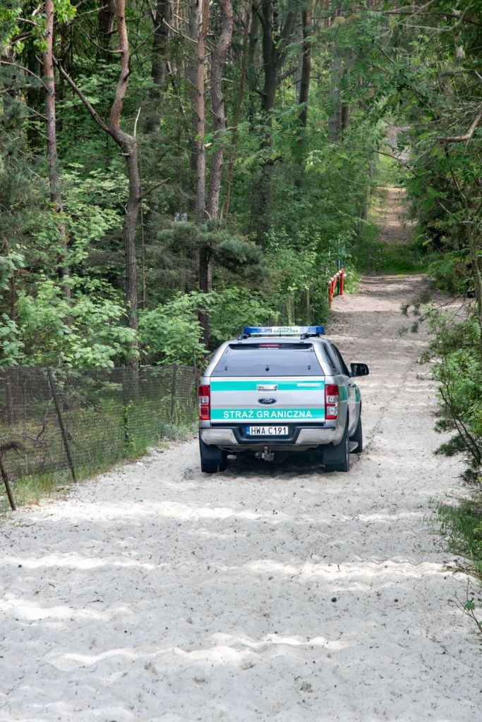
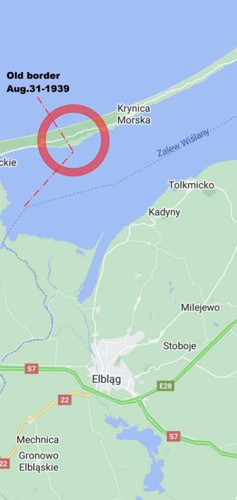
The Vistula Spit is a narrow peninsular stretch of land in the Baltic Sea, and it is bisected by the international border between Poland and Russia (specifically, Russia’s Kaliningrad Oblast exclave). The border runs across the spit, with the southwestern portion belonging to Poland and the northeastern tip belonging to Russia. The border on the Vistula Spit is the shortest section of the entire land border between Poland and Russia, measuring only 0.835 km long on the onshore part. Unlike other sections of the Polish – Russian border, although there is Border Guard presence the atmosphere is relaxed, primarily because this is a hiking and cycling area and there is a 620m buffer area, so a direct approach to the border with Russia is impossible.
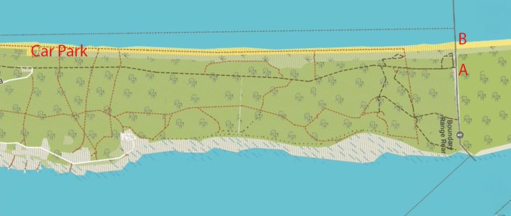
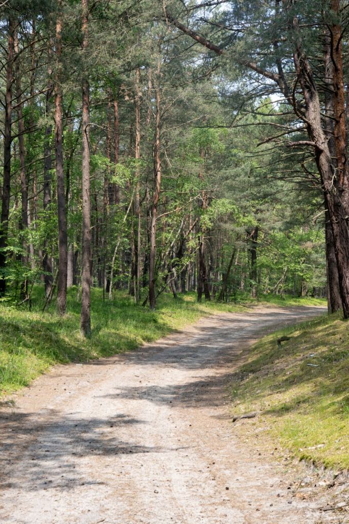
Driving along the Spit as far as possible to reach a car park, where there are many families picnicking, cycling and enjoying the sunny weather. The map below indicates the woodland tracks that lead to the buffer zone.
I was the only one walking to the buffer zone, cyclists and motorbikes whizzed by, no cars were allowed. Lots of information boards, some denoting beaches, others with maps marked the straight line to the first POI.


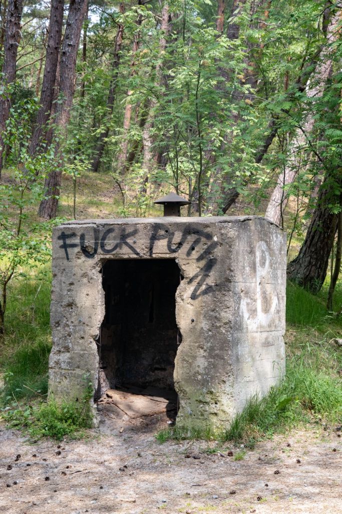


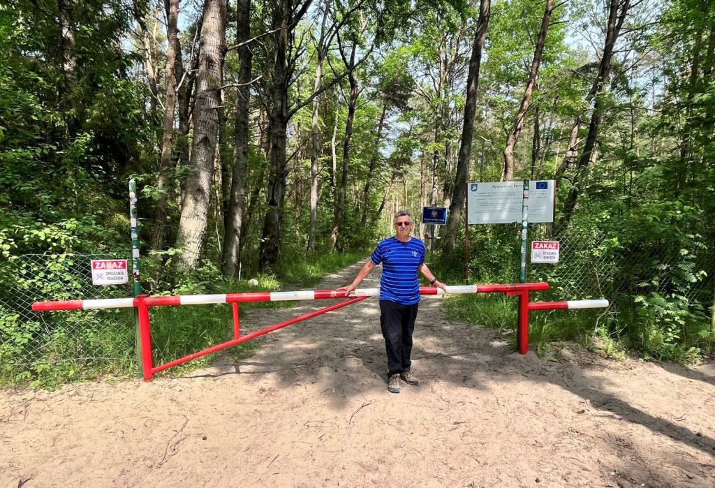
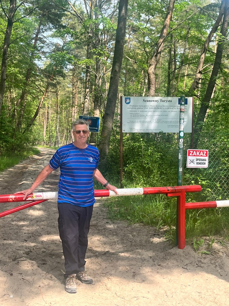
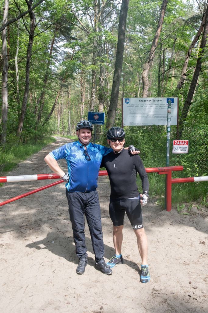
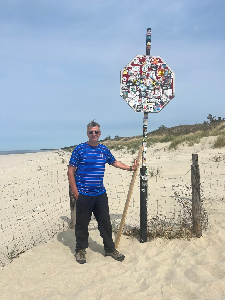
The Gate
As far as ordinary people can go (marked as A on the map above). If possible it is a 10 minute walk do the highly fortified border with Russia. For most people it is a place to take photos and chat.

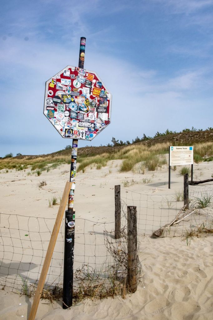
The Beach
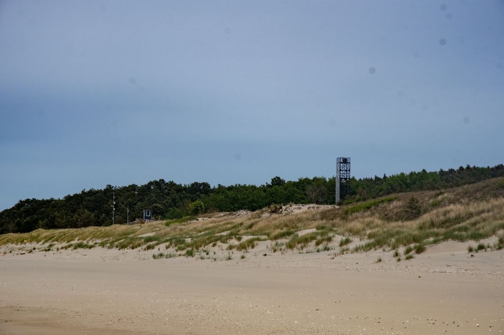
Whereas the gate is a focal point, there was something about the beach that was special, it was possible to look into Russia and the fence was in places broken so it would be possible to walk further, where it not for the risk of fines and the scrutiny of the nearby Polish border guards. (marked as B on the map above).


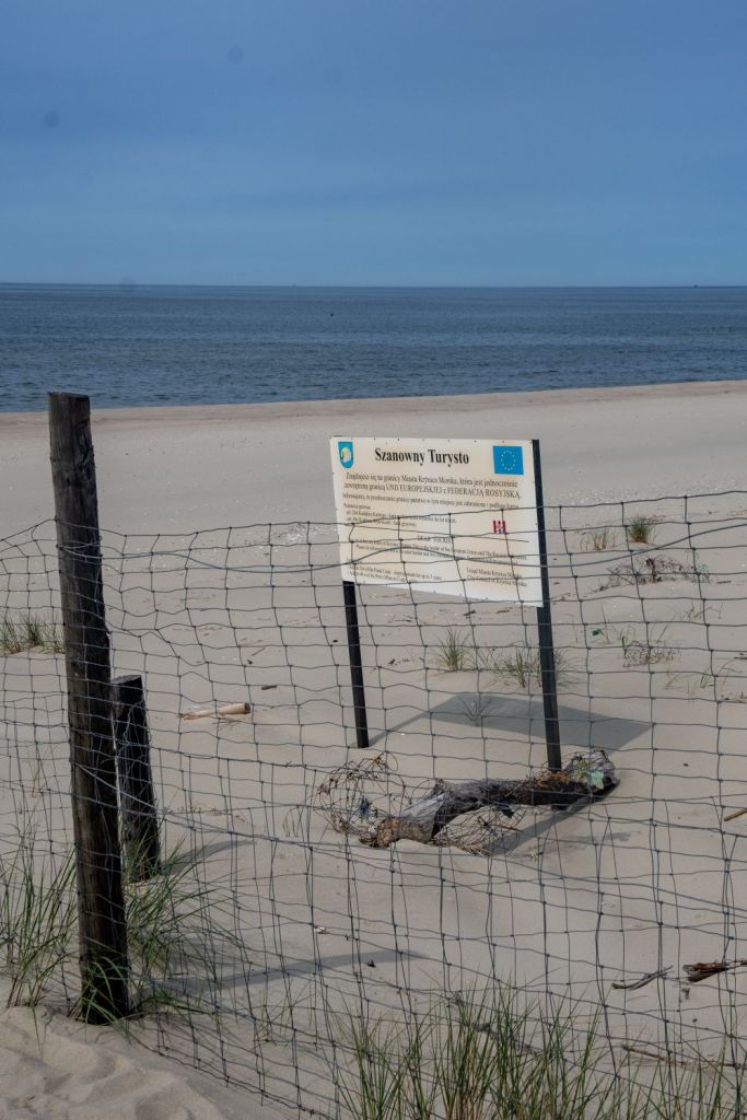


Looking into Russia
It is approximately 620m to the border with Russia. The buildings furthest away are in Russia.
Another border…
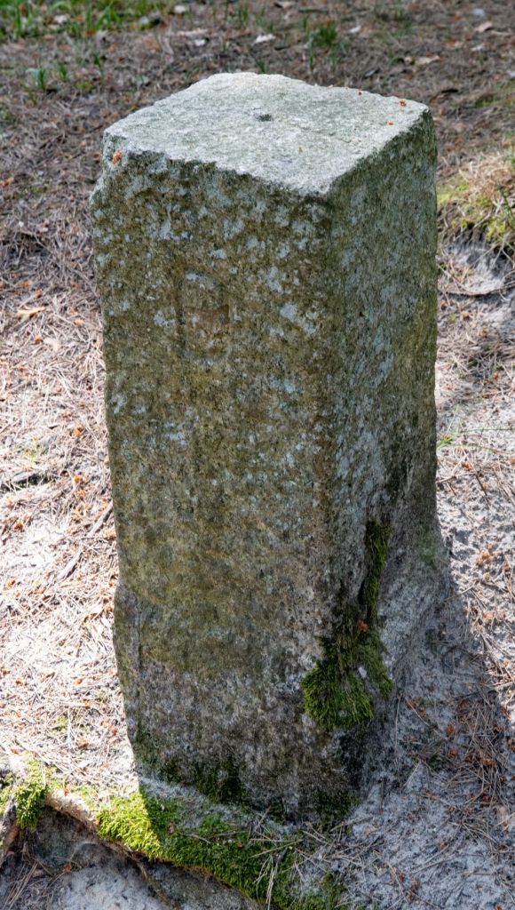
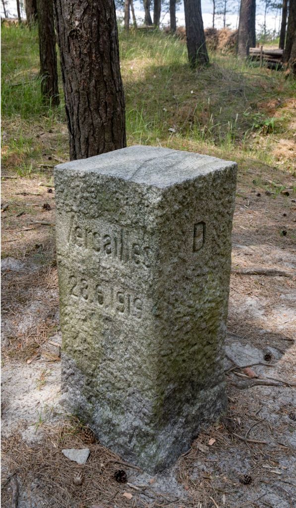
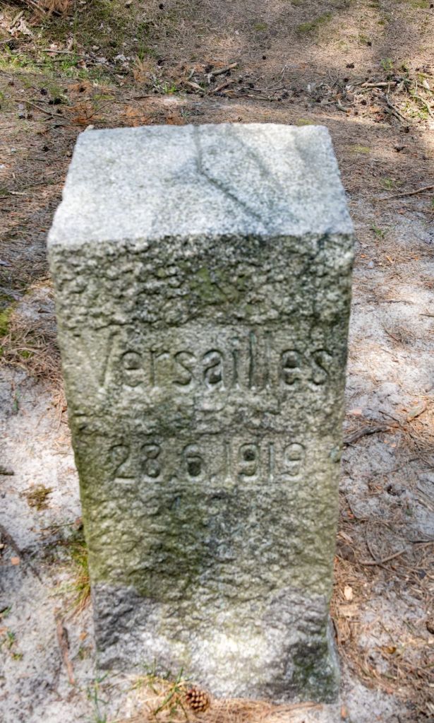
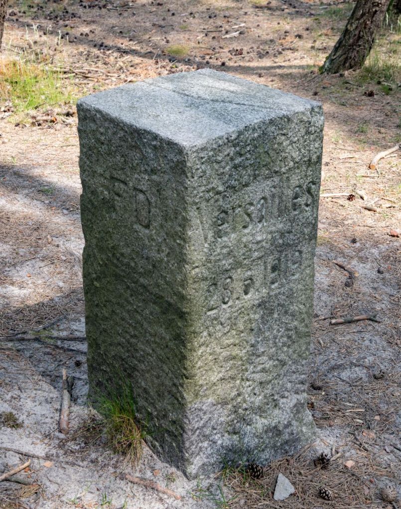
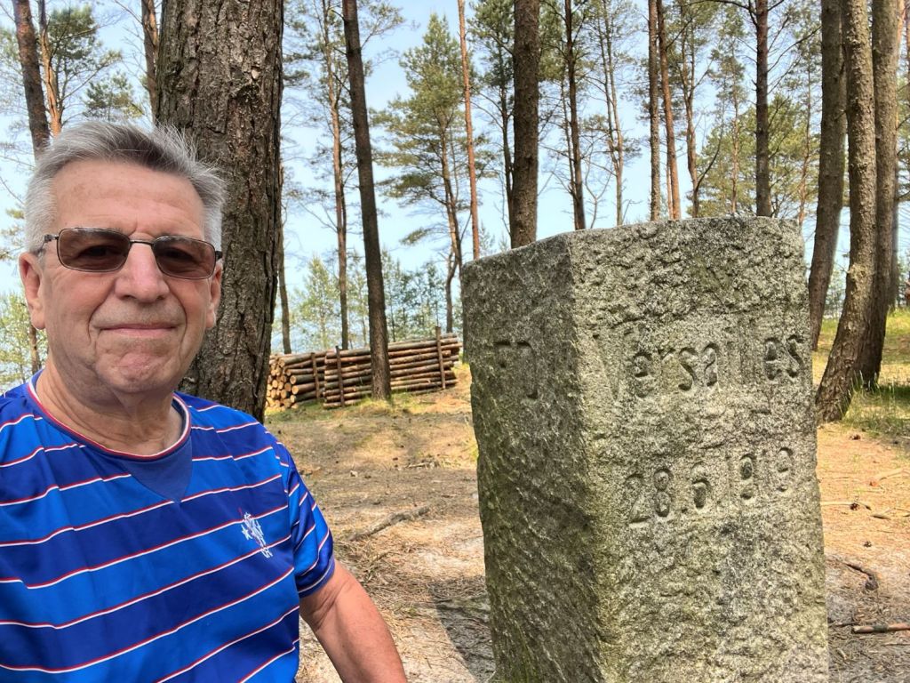
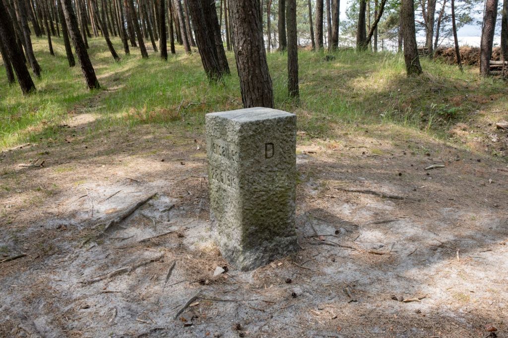
Historical borders are fascinating, remnants and echoes of a past era. The Vistula Split has such a border which is remarkable well preserved. The Free City of Danzig was a city-state under the protection and oversight of the League of Nations between 1920 and 1939, consisting of the Baltic Sea port of Danzig (now Gdańsk, Poland) and nearly 200 other small localities in the surrounding areas. The border markers are easily accessible and the last one with its Treaty of Versailles inscription especially impressive.
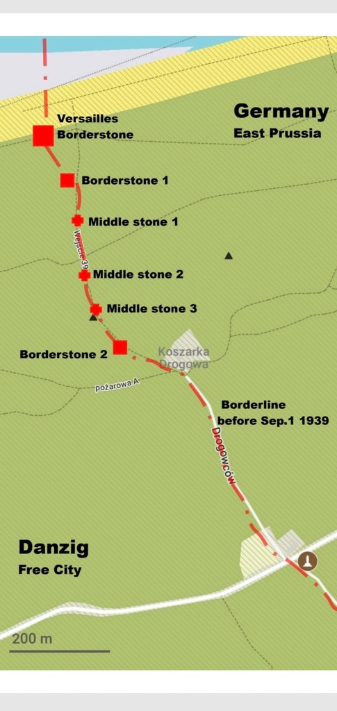
After discussions with fellow members of IBRG it was straightforward to find several well preserved border markers which were located north of the main 501 road 10 km before Krynica Morska.
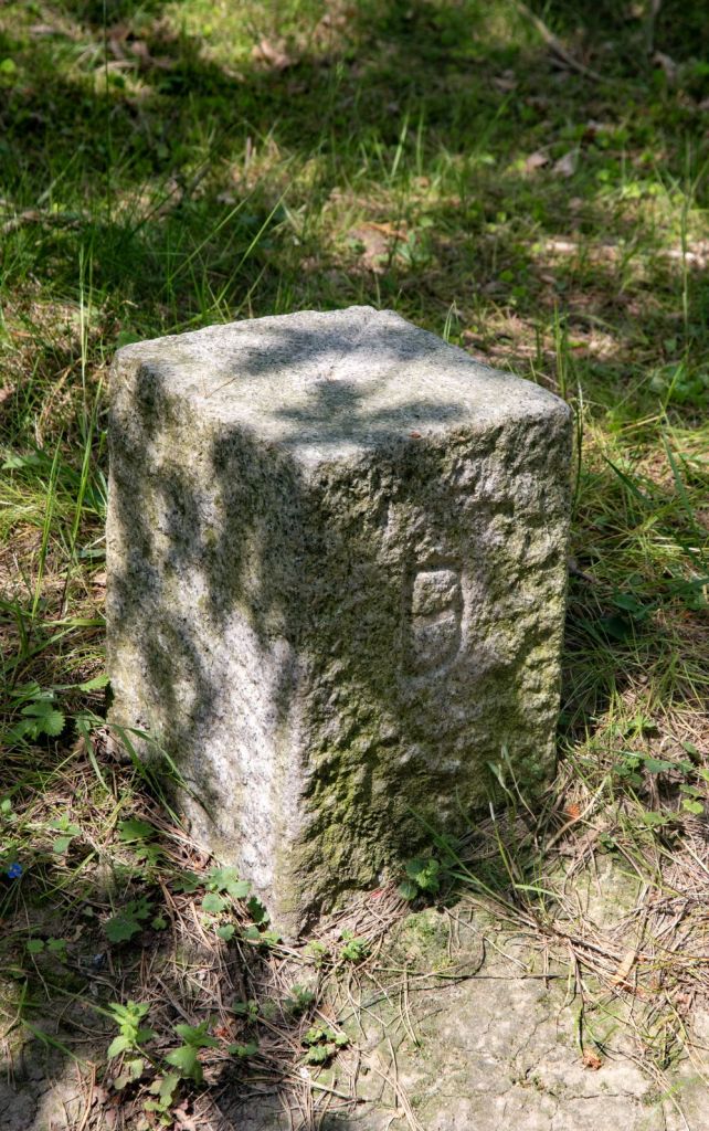
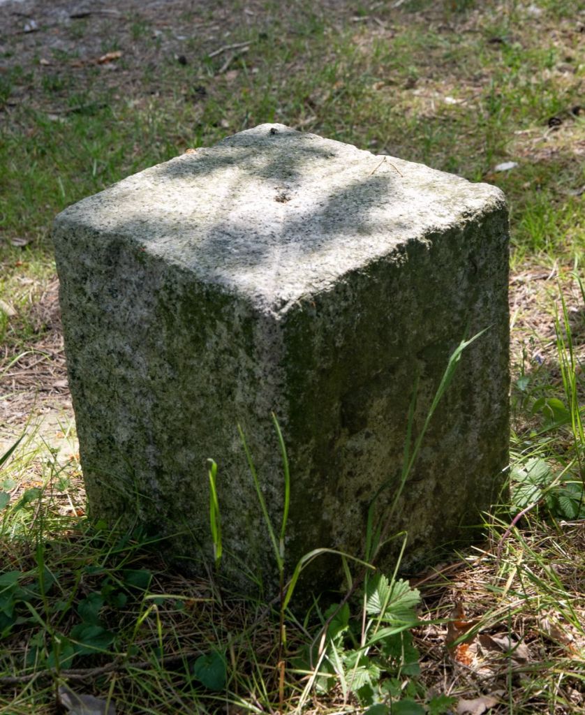
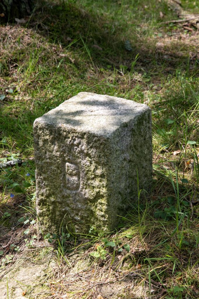
Border Stone 2

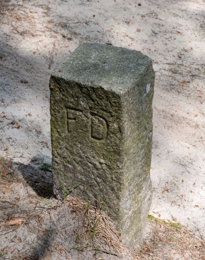
Middle stones


Border Stone 1
Versailles Border marker G-0017
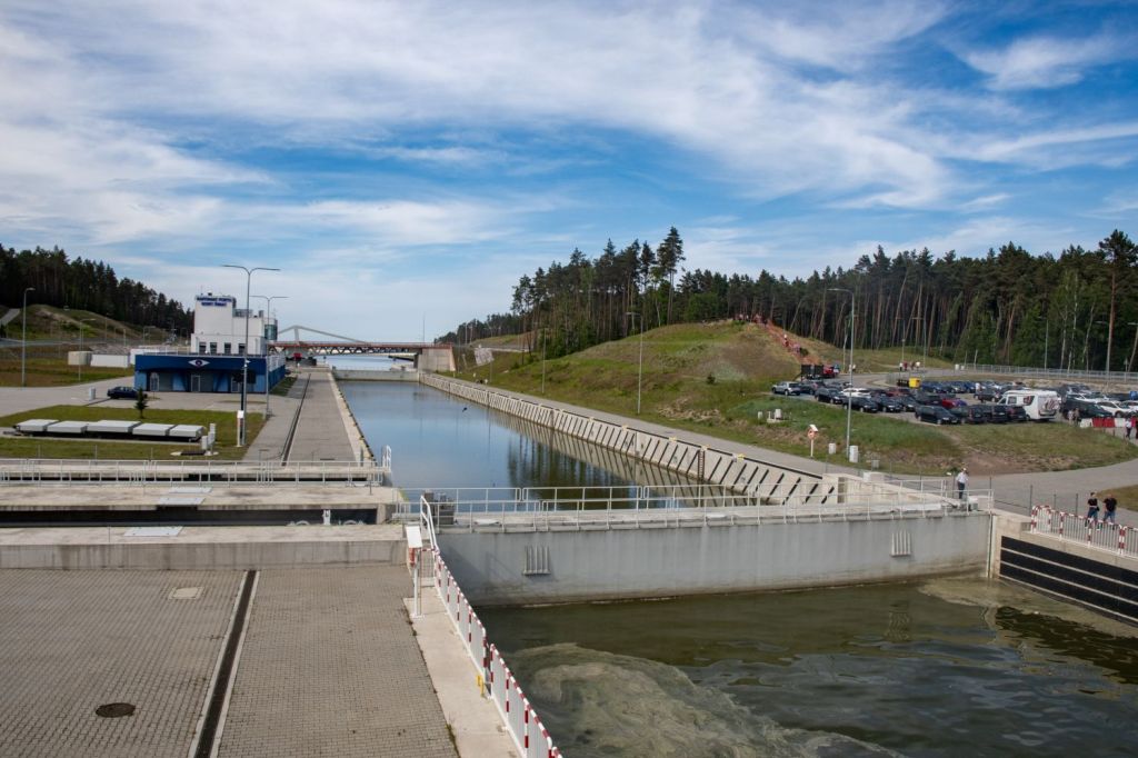
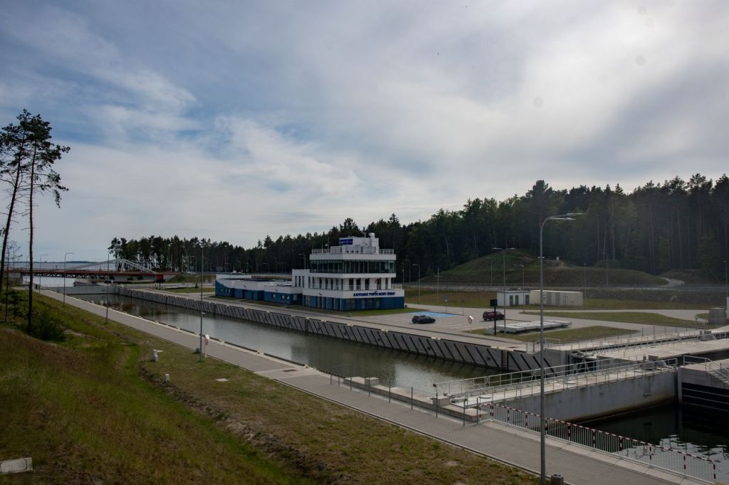
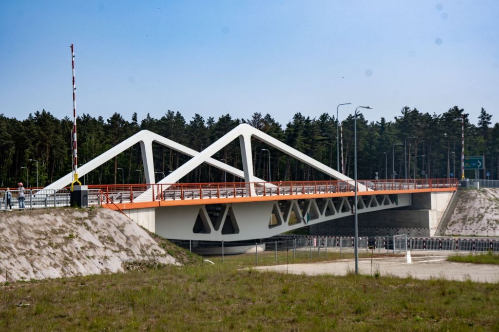
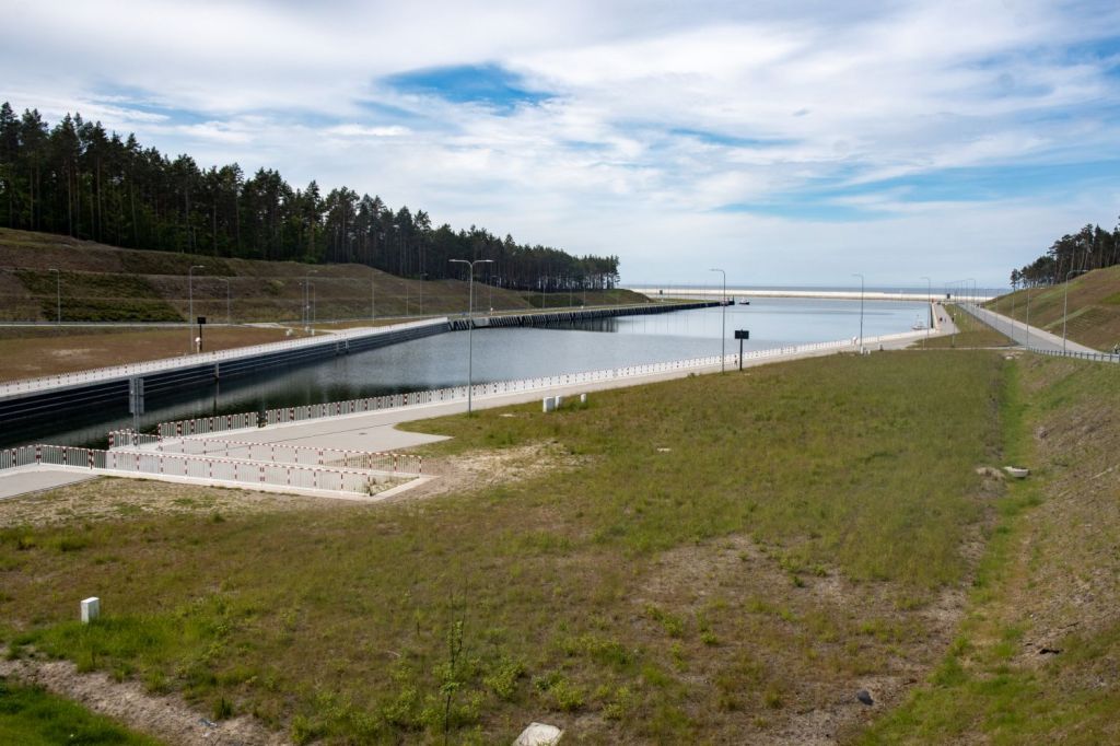
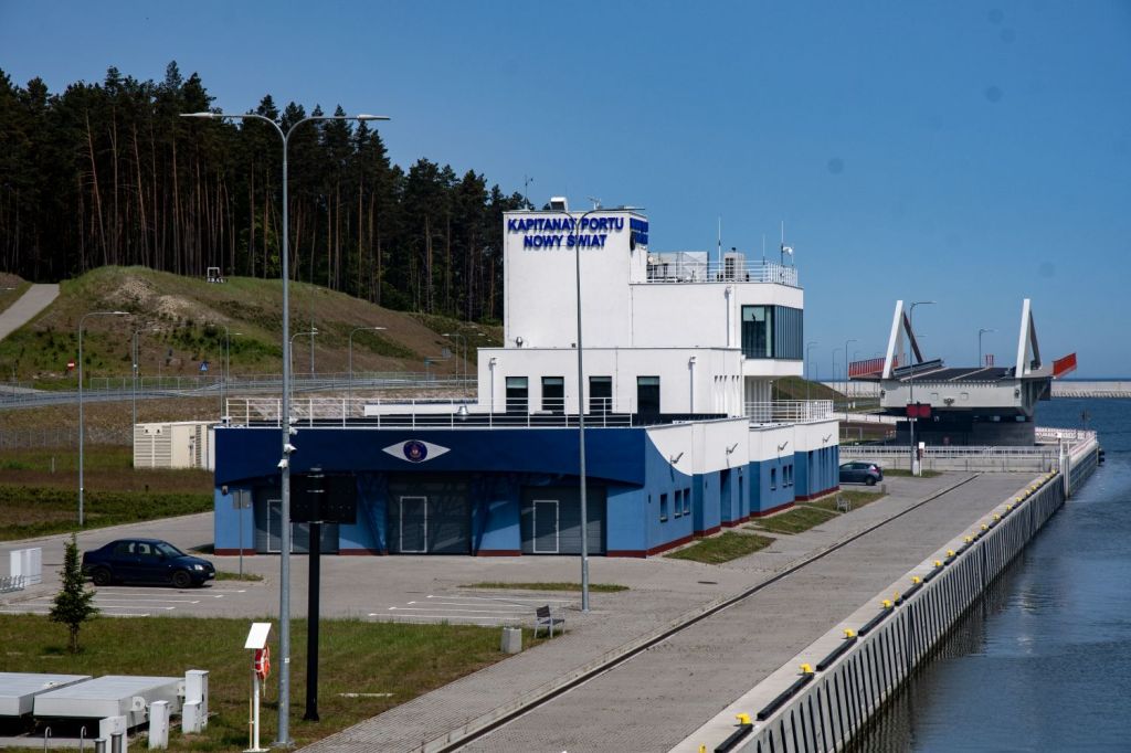
Vistula Spit canal
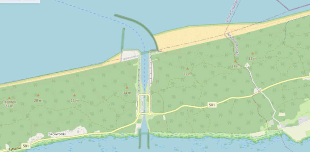
The Vistula Spit canal, officially known as the Nowy Świat ship canal is a canal across the Polish section of the Vistula Spit that creates a second connection between the Vistula Lagoon and Gulf of Gdańsk. It allows ships to enter the Vistula Lagoon and the port of Elbląg without having to rely on the Russian Strait of Baltiysk, saving a 100-kilometer journey and avoiding Russian waters. Its construction started in February 2019. It is 1,536 m in length and allows ships of draft up to 4 m length up to 100 m and beam up to 20 m to pass through. The canal was officially opened on 17 September 2022.


Videos

Date of Visit: 01 June 2025
