
Uruguay, officially the Oriental Republic of Uruguay, is a country in South America. It shares borders with Argentina to its west and southwest and Brazil to its north and northeast, while bordering the Río de la Plata to the south and the Atlantic Ocean to the southeast. It is part of the Southern Cone region of South America. Uruguay covers an area of approximately 176,215 square kilometres. It has a population of almost 3.5 million people, of whom nearly 2 million live in the metropolitan area of its capital and largest city, Montevideo. It is possible to drive for considerable distances without passing a settlement of any size. Uruguay is a democratic constitutional republic, with a president who serves as both head of state and head of government.
Pre independence Uruguay was characterised by colonial struggles between Portugal and Spain. Uruguay was settled later than other South American countries due to indigenous peoples resistance and a lack of economic resources to exploit. In 1603, the Spanish began introducing cattle, which became a source of regional wealth. After struggling against initially Spanish and then Portuguese domination, Uruguay gained independence in 1828, nevertheless the 19th Century was characterised by foreign interference, and military intervention. Although, independence was secured, the middle 20th century inline with other South American countries was characterised by military dictatorships and left wing guerrilla groups. Since 1984 Uruguay has become increasingly democratic, Uruguay has a presidential, representative democratic republic with a strong emphasis on separation of powers, featuring an Executive (President/Head of State & Govt.), a bicameral legislature (General Assembly: Senate & Chamber of Representatives), and an independent Judiciary, all under a unitary state structure with nationwide administration of key services. Its system uses universal, compulsory suffrage for 5-year terms, no immediate presidential re-election, and operates with a multi-party system dominated by major coalitions like the Broad Front (FA) and National Party (PN).
Uruguay is highly ranked in international measurements of democracy, government transparency, economic freedom, social progress, income equality, per capita income, innovation, and infrastructure. It is classified as a high-income economy and has fully legalized cannabis—the first country in the world to do so—as well as same-sex marriage, abortion and euthanasia. Uruguay is also a founding member of the United Nations, the OAS, and Mercosur.
Border Facts
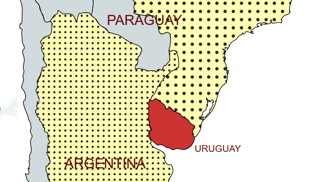
Uruguay shares borders with Argentina to its west and southwest and Brazil to its north and northeast, while bordering the Río de la Plata to the south and the Atlantic Ocean to the southeast. Montevideo is the southernmost national capital in the Americas and the third most southerly in the world (after Canberra and Wellington). Uruguay is the only country in South America situated entirely south of the Tropic of Capricorn, and is the southernmost sovereign state in the world when ordered by northernmost point of latitude.
Uruguay – Argentina border is 579 km long marked by the Uruguay River, and is the border between Argentina and Uruguay. It starts in a triple border Argentina-Uruguay-Brazil, at the mouth of the Quaraí River in the Uruguay. The course follows the Uruguay river, passing west of the Uruguayan departments of Artigas, Salto, Paysandu, Rio Negro, Soriano and Colonia and the Argentine provinces of Corrientes, Entre Rios and Buenos Aires, until the confluence of the Uruguay and the Paraná rivers into the Rio de la Plata. The Treaty of Montevideo (1828) established the border. A further treaty in between Uruguay and Argentina concerning the Río de la Plata and the Corresponding Maritime Boundary was signed in 1973. The border between the 2 countries is entirely “wet” with the exception of a small land border on Isla Martín García which is a unique Argentine island in the Río de la Plata, technically within Uruguayan waters, that shares a rare land border with Uruguay’s Timoteo Domínguez Island, formed as river sediments joined them. A 1973 treaty established Martín García as Argentine territory, a nature reserve, and historical site.
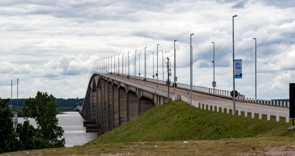
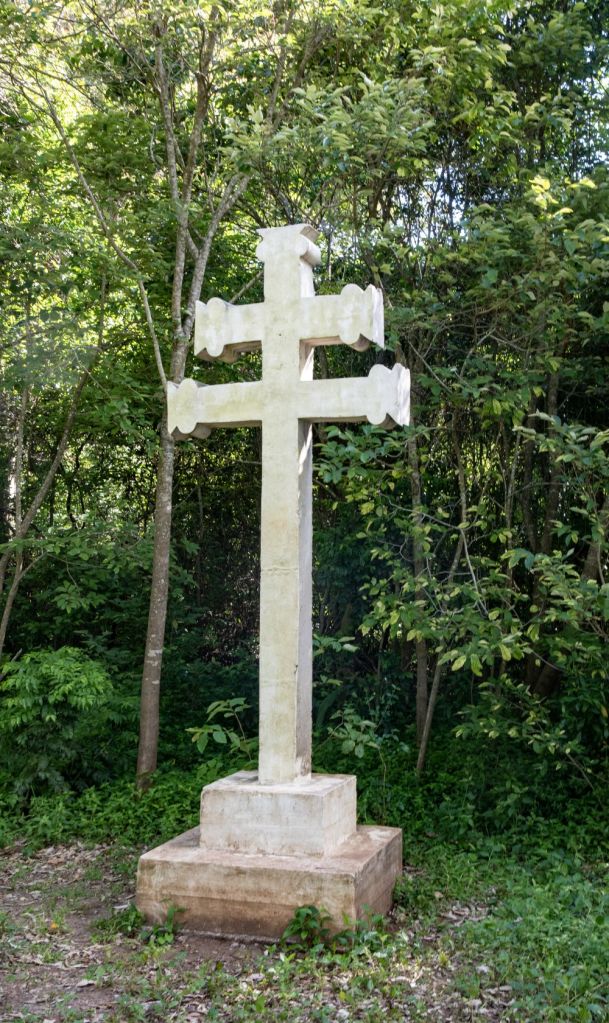
Please click on the images below to access visit reports, with maps, more photos and analysis.


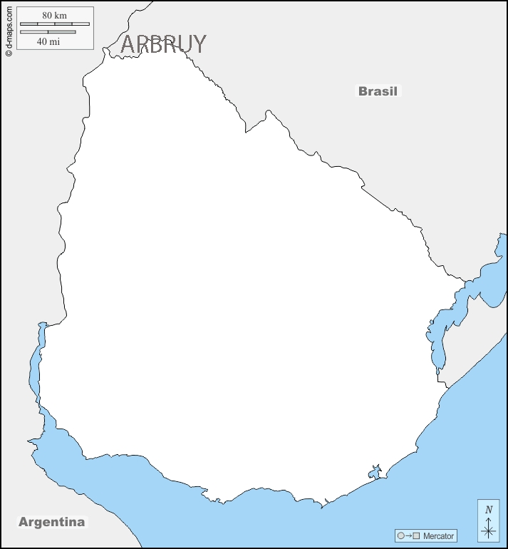
Uruguay – Brazil border is 985 km long, beginning at the ARBRUY tripoint in the west to the mouth of Arroyo Chuí, the southernmost point in Brazil. The western section of the border is marked by Quaraí River, a tributary of the Uruguay River and the “coxilhas of Santana.” To the east, its border is marked by the Jaguarão River that flows into the Lagoa Mirim. The border then runs from southern portion of this lagoon to the Chui. The border has specific points of interest for border enthusiasts: in the ARBRUY tripoint area there is contested ownership over the Brazilian Island which Brazil maintains full and effective sovereignty. Brazilian authorities assert that the island lies within the municipality of Barra do Quaraí, in the state of Rio Grande do Sul, while Uruguayan officials have historically included it as part of Bella Unión, in the Artigas Department. Nonetheless, Brazil’s claim is grounded in the 1851 Treaty and supported by decades of peaceful occupation and administration.
The second border disagreement is near the village of Masoller. The disputed area is called Rincón de Artigas (Portuguese: Rincão de Artigas), and the dispute arises from the fact that the treaty that delimited the Brazil-Uruguay border in 1851 determined that the border in that area would be a creek called Arroyo de la Invernada (Portuguese: Arroio da Invernada), but the two countries disagree on which actual stream is the so-named one.
So far, Rincão de Artigas is effectively under Brazilian control. As recently as 1985 Uruguay formally complained at the construction of Vila Thomaz Albornoz a small village in the contested area.
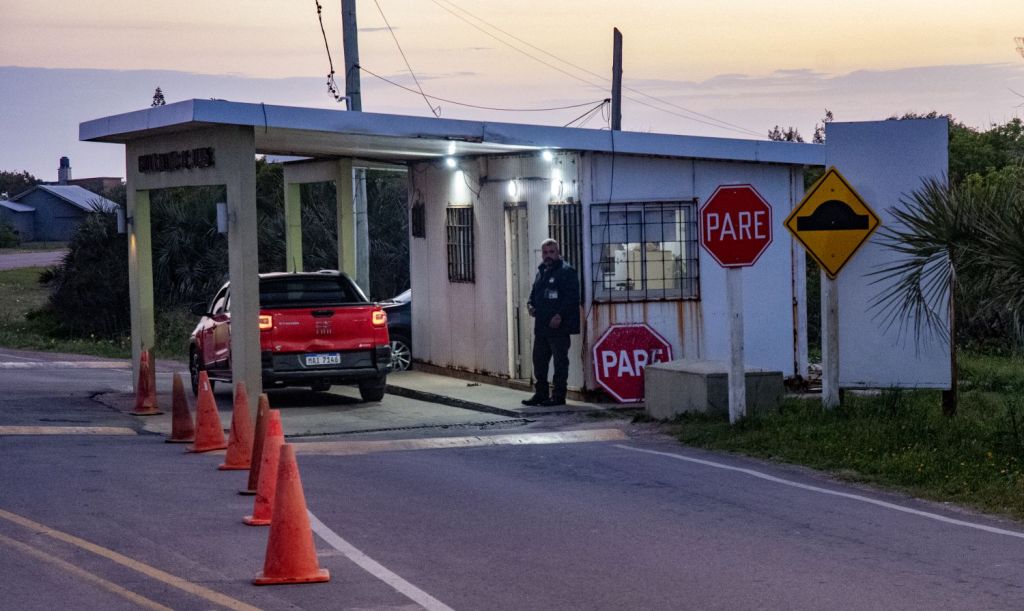
The other points of interest is where the border runs through the Uruguayan city Rivera and the Brazilian city Santana do Livramento. Residents of these two cities are able to walk freely between the two countries without any border control. Those wishing to travel further inland into both countries must then undergo border control at designated points. Many duty-free shops are located in both cities. The same situation exists between the Brazilian city Chuí and the Uruguayan city Chuy.
Please click on the images below to access visit reports, with maps, more photos and analysis.


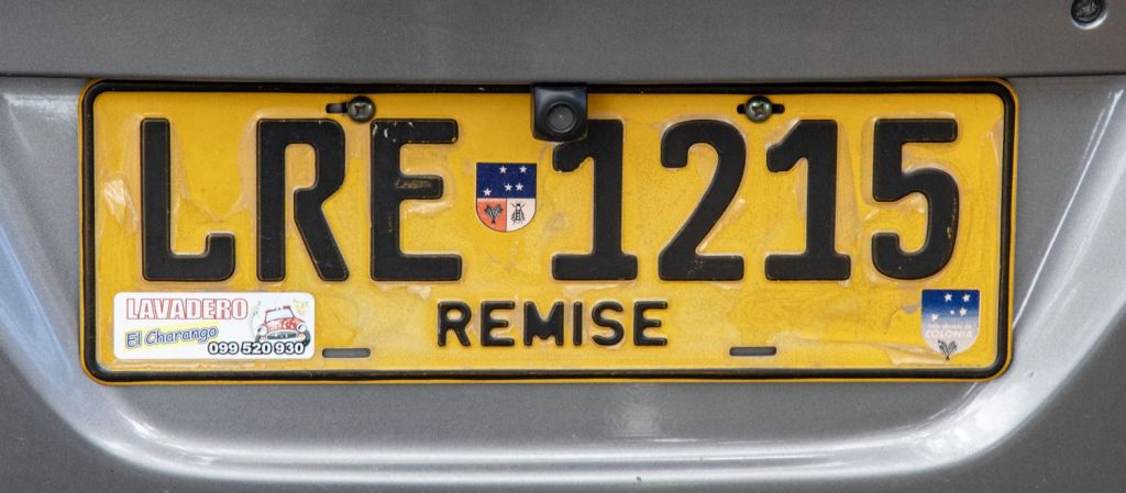
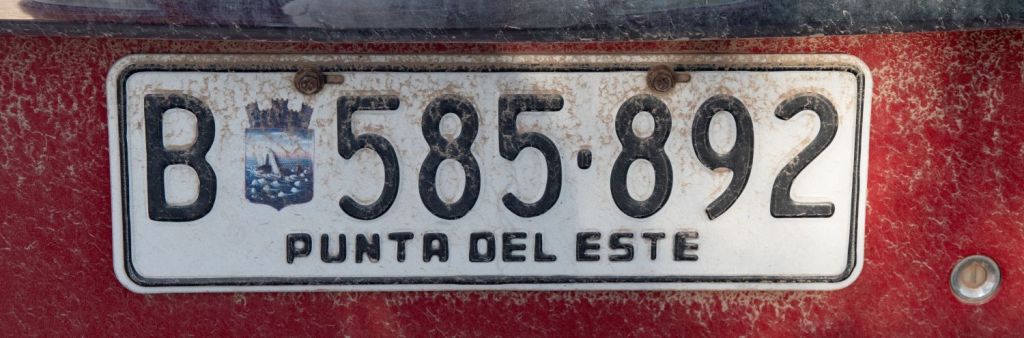
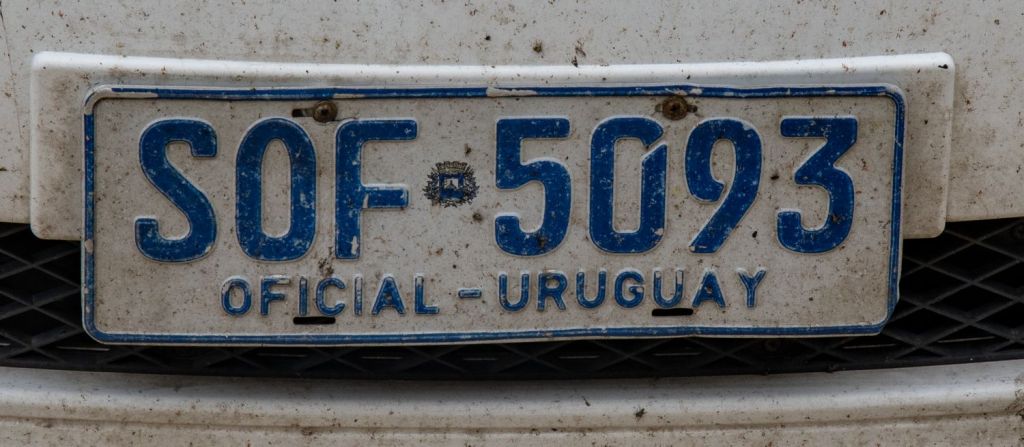
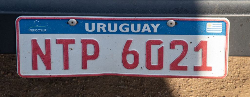
Uruguayan Number Plates


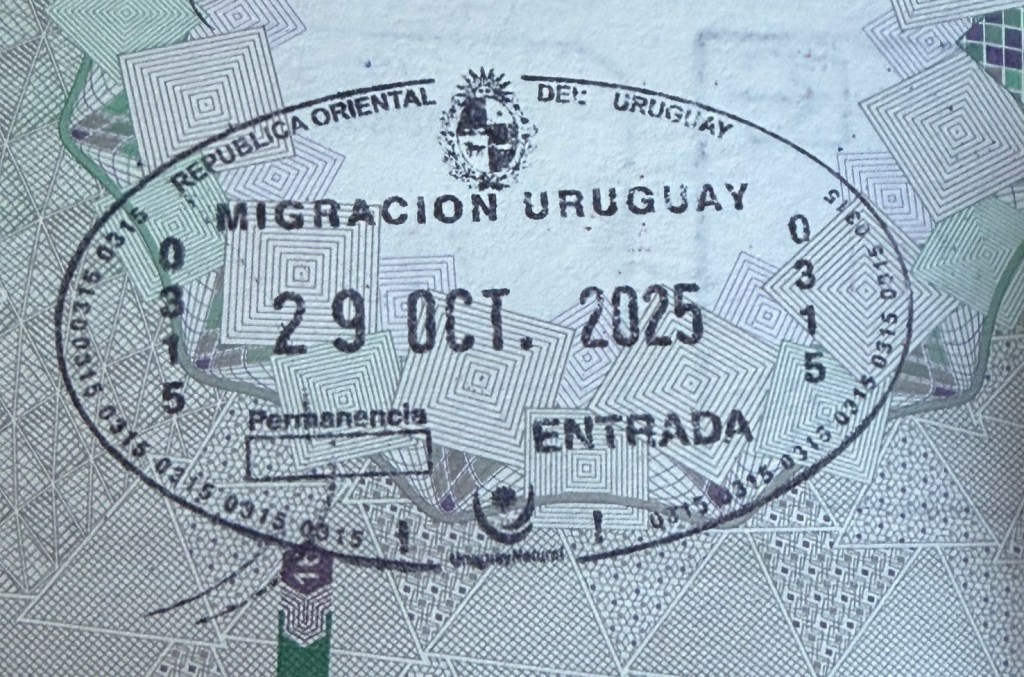
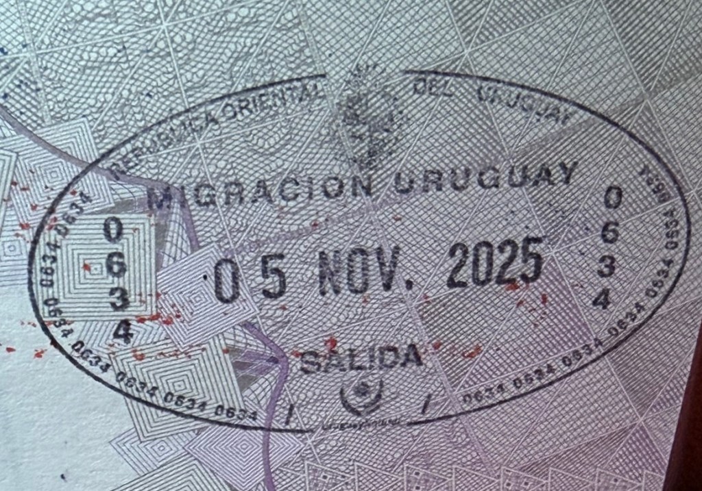
Uruguayan Passport Stamps
Uruguayan Tripoints
| number | name | Countries | coordinates | type | notes/links |
|---|---|---|---|---|---|
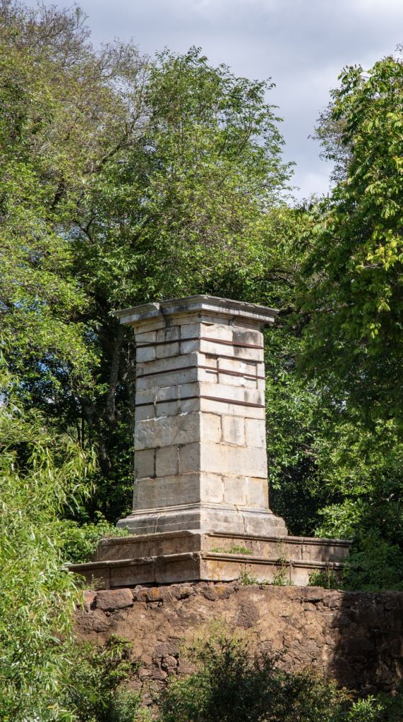
| 1 | ARBRUY | Argentina – Brazil – Uruguay | 30°12′S 57°39′W | Wet | Disputed with the ownership of Brasilera Island contested between Brazil and Uruguay. 2 monuments, one on BR mainland and one on the island close to the TP. Southernmost tripoint in the world |
Tripoint Gallery


Site Navigation
In order to find your way around the site, either click on the links (text in red) or use the menus at the top and side of the pages. About leads you to the main areas of the site. The America Tripoints menu leads directly you to my visit reports whereas the Country Visits page allows you to choose which country to look at first. Clicking on photos can lead you directly to reports too.

Mobile Users Advice
ables display correctly when holding your mobile horizontally.
To access the links to other pages please click on the 3 horizontal dots at the bottom of the page

