

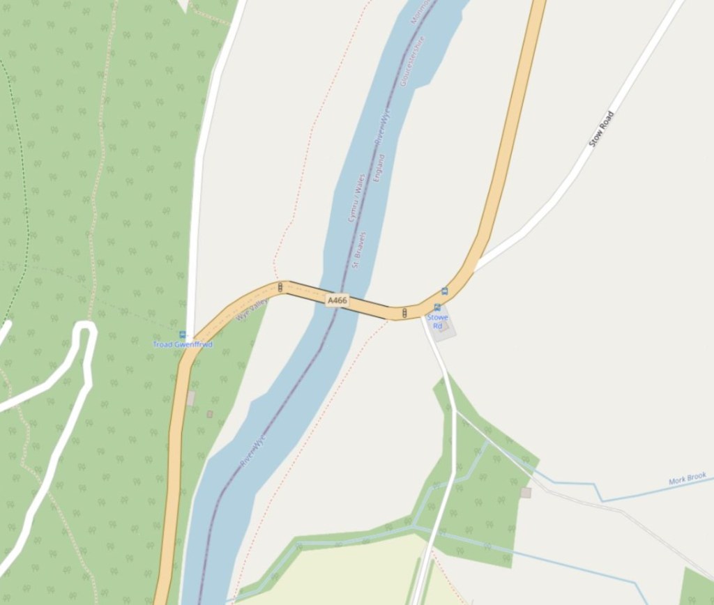
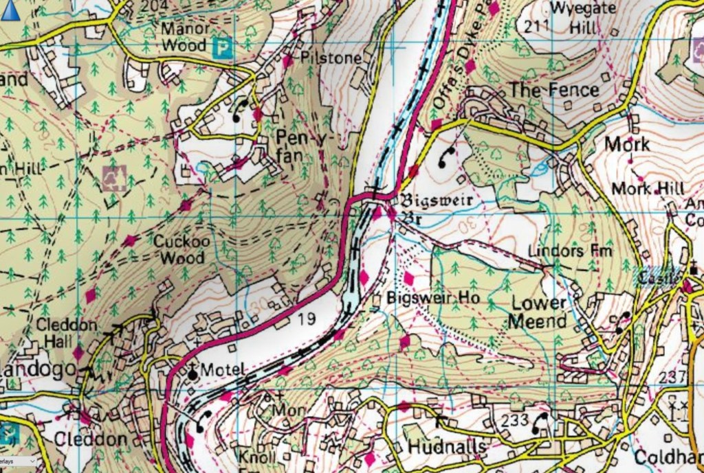
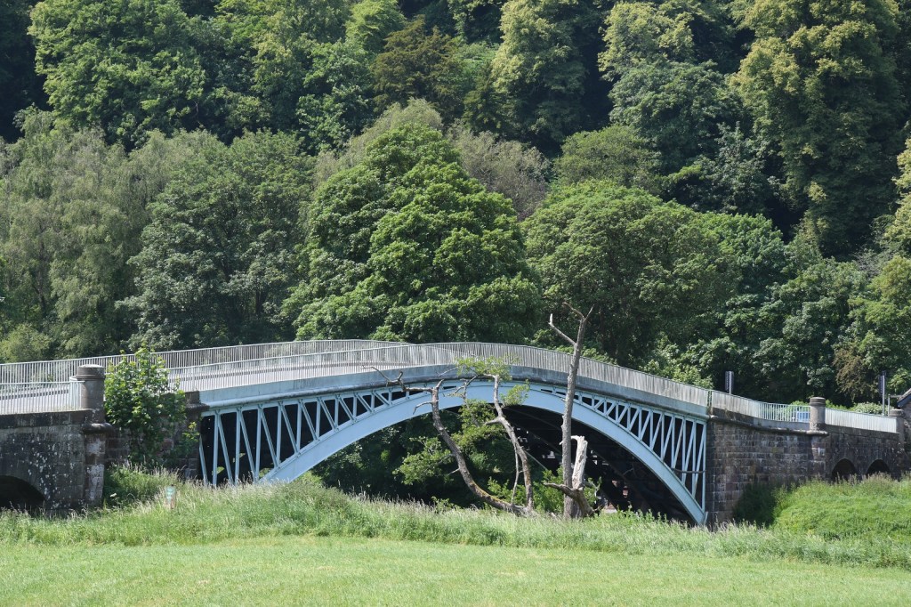
Bigsweir Bridge is an 1827 road bridge crossing the River Wye, straddling the boundary between the parish of St. Briavels, Gloucestershire, England, and Llandogo, Monmouthshire, Wales.
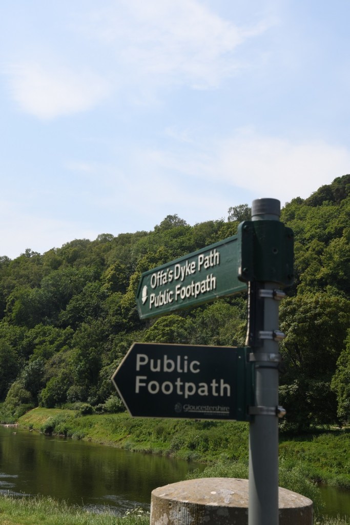
The bridge carries the A466 road, and is located about 3.2 km north of the village of Llandogo, 2 miles (3.2 km) south of Whitebrook, and 4.8 km west of the village of St Briavels. It is the Normal Tidal Limit of the River Wye, and navigation below this point falls under the jurisdiction of the Gloucester Harbour Trustees.
The elegant cast-iron road bridge was built in 1827 as part of the new turnpike road constructed up the lower part of the Wye valley between Chepstow and Monmouth. The bridge connects the English and Welsh sides of the river, with an abandoned but recently restored toll house on the Welsh side. The bridge comprises a single arch of 50 metres (55 yd) , and was designed by Charles Hollis of London and cast at Merthyr Tydfil.
A pair of stone flood arches were added at each end some years later, doubling the length of the bridge. Because of its narrow width, modern traffic using the A466 is controlled by traffic signals at either end.
Bigsweir Bridge became a Grade II* listed structure in 1988. The bridge was repaired, strengthened and repainted in 2010–11.


Date of Visit: 9 June 2023

I have noticed that with border crossings between England and both Wales and Scotland on the none English side it always says the country ie/Welcome to Scotland and sometimes the local authority area but coming into England just whatever local authority you are entering.I wonder if this is a fear thing with British/UK nationalists being unwilling to acknowledge that the island has 3 countries upon it or just local authorities thinking’why should we pay for a sign other than our own ‘?Or,as with most things,a combination of the two?
LikeLike