

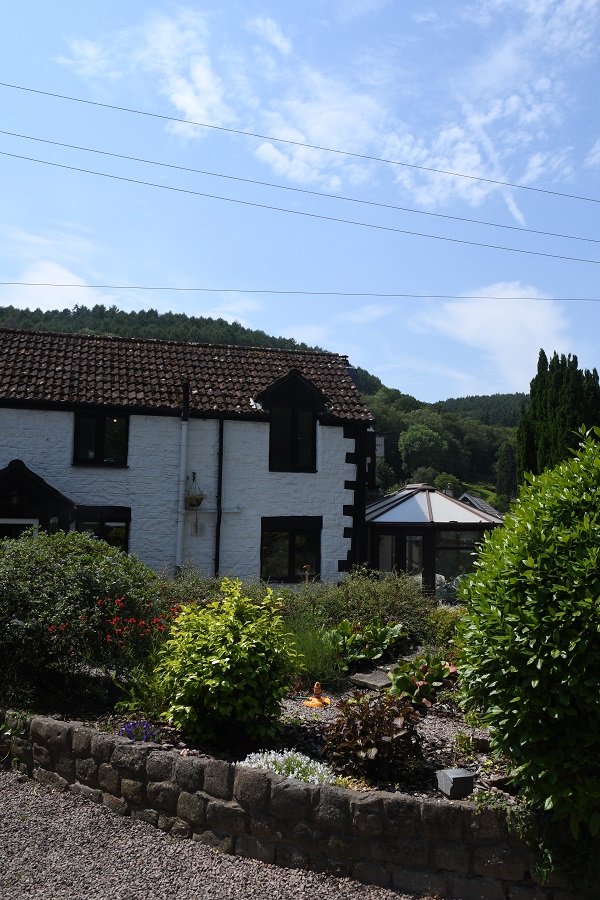
Redbrook is situated in the lower Wye Valley, an area of outstanding natural beauty, about 3 miles south of Monmouth and 13 miles north of Chepstow on the A466. The village is within Gloucestershire, England, adjoining the border with Monmouthshire, Wales. Redbrook was historically an important industrial centre with many industrial sites including mills, an ironworks, tinplate works and copper works. The village once boasted no less than 13 inns and three breweries. The last brewery to close, in 1926, was Redbrook Brewery
Redbrook on Wye was the last station before Monmouth on the Wye Valley Railway. The railway was opened in 1876 to connect Monmouth to the South Wales line, closing to passengers in 1959 and freight in 1964. Today a wood-decked footbridge spans the river which once carried the railway.
As a border town there are a number of points of interest.
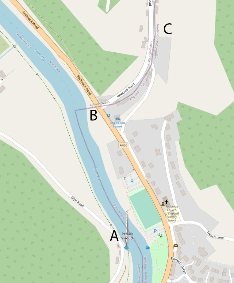
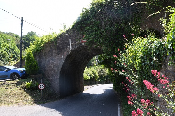
A. Penallt Viaduct
The first border POI is the Penallt Viaduct which formerly carried the Wye Valley Railway over the River Wye, which at this location forms the border between England (Gloucestershire) and Wales (Monmouthshire). The 23 km Wye Valley Railway opened on 1 November 1876.
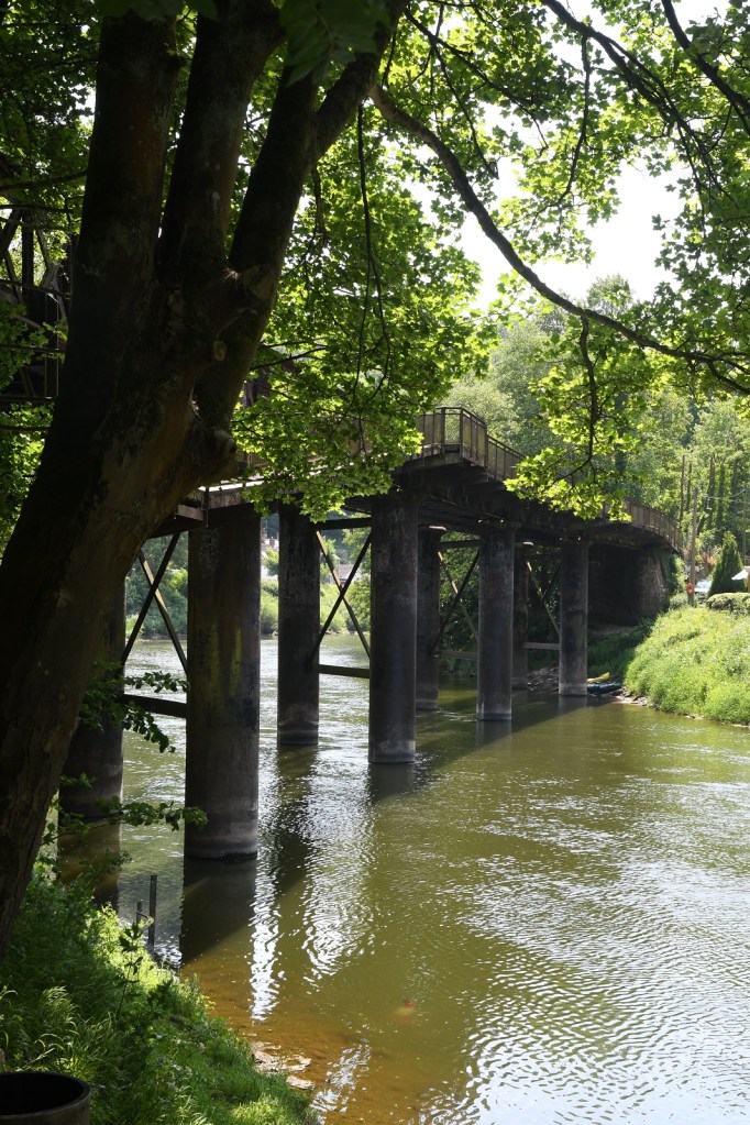
The viaduct is a single-track curved structure of five girder spans supported on four pairs of cast iron columns, located between Redbrook on Wye and Penallt Halt stations. Passenger services ceased on the railway in 1959 and it closed to freight in January 1964. The viaduct is still open to carry a public footpath, attached to the upstream girders of the viaduct, over the Wye between the villages of Redbrook and Penallt.
The footbridge was jointly provided by the pre-1974 Monmouthshire and Gloucestershire County Councils who agreed in 1953 to pay for the construction of the footbridge attached to the viaduct.


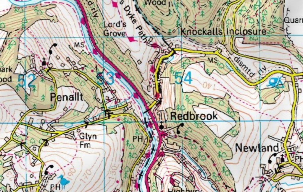
B. The A466 border crossing.


Driving north along the A466 there is no reason to get excited, it is no different from any other A road, however it does cross between England and Wales. Open Street map and the OS maps (see below) differ on exactly where the border is. The former has the border moving diagonally across the A466 into Newland Road whereas the OS map has the border moving along the south side of Newland Road.
No national signs here, or changes in the road service. However county signs are placed either side of the border.
C. Redland Road
Even with the maps it is not easy to track the border. The border follows a small stream on the south side of the road, and seems to transect a number of properties. Whilst it is easy to say that north of the road is Wales and south is England, it appears as if the road itself for the most part is in Wales


Date of Visit: 8 June 2023
