
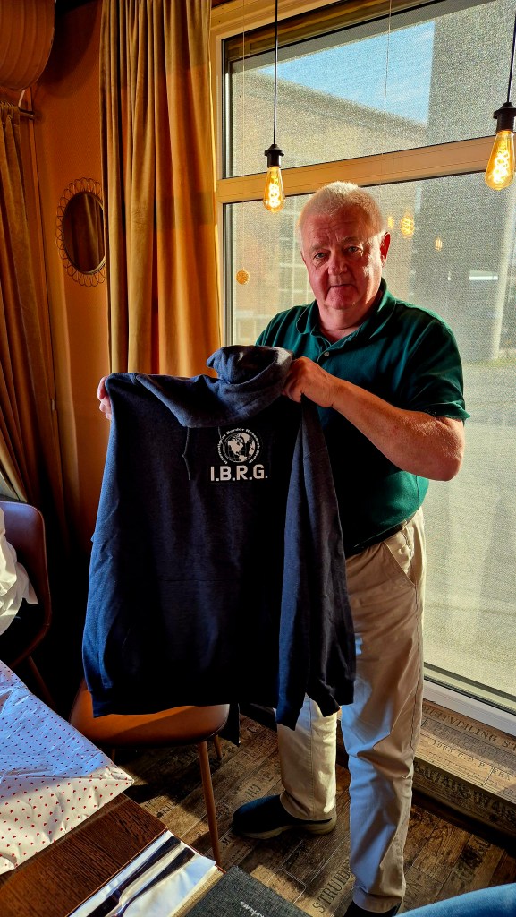
The expedition began at Oslo Airport and finished in Tromso with 6 IBRG members from Denmark, Netherlands, UK and US. This 6 day trip’s primary focus was to visit the 2 Nordic tripoints FINORU and FINOSE. In addition, POI’s on the Norway and Russia border, including open and closed border crossings, hydro electric dams that cross the border as well as many border markers and a previously unvisited or reported Russian pene enclave. Another highlight is visiting the most northern border crossing in the world between Norway and Finland.
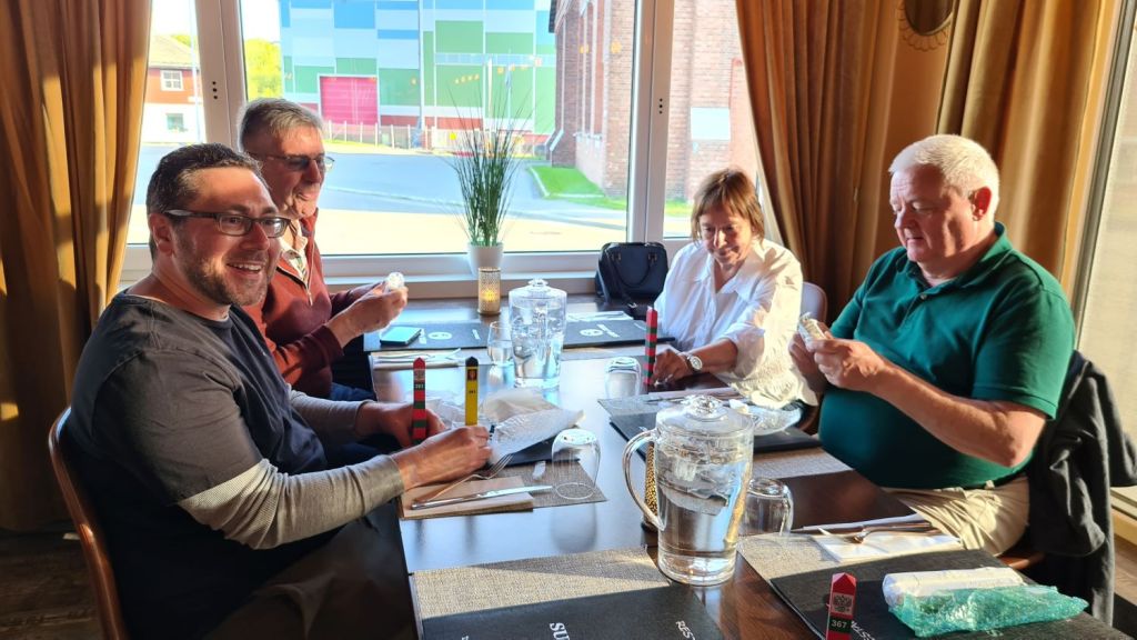
As with all the IBRG trips there was lots of discussions, food and drink! This page is an introduction to the trip with individual reports being accessible by clicking on either the photos or the links (in red) either within the text or via the menu of the right hand side of the page.
Day One
After meeting at Oslo Airport and flying 2 hours north to Kirkenes (KKN), the trip began in earnest. Arriving in the Artic for the first time for many of us was both exciting and awesome. The landscape, sun and light all were so different.


Whilst waiting for the hire car, we found a tri border monument in the car park. After travelling to our hotel we met up with Frode Berg, another IBRG member who lives in Kirkenes and was acting as our guide for part of the trip.

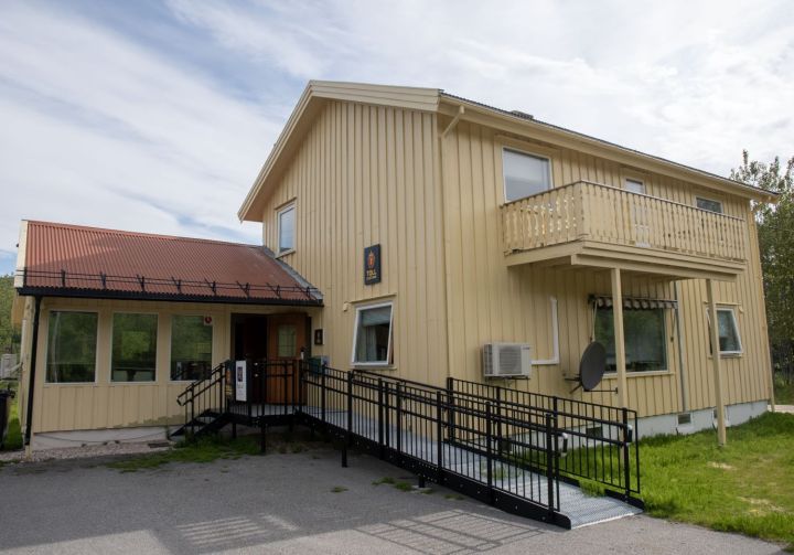
Our first stop is at the ‘Barents Observer‘ a digital newspaper that publishes in English, Norwegian and Russian.
It was great to hear about the work of the digital newspaper, the censorship of its output in Russia and its focus on social, political and environmental issues.
Thomas explained to use the changing nature of the relationship between Norway and Russia from the early optimism of cross border collaboration in the 1960’s to very limited contact and hostility now.
Meeting Olesia and hearing her story about leaving Russia and creating a new life in Norway was fascinating. A young woman who has already experienced so much. Her bio is here.


A stroll around Kirkenes.
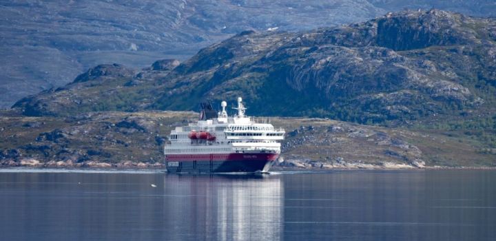
Kirkenes (pop. 3529) is a small town in Sør-Varanger Municipality in Finnmark county, in the far northeastern part of Norway. The town lies on a peninsula along the Bøkfjorden, an arm of the large Varangerfjorden, and is located just a few kilometres from the Norway-Russia border. Kirkenes is one end of the route of the Hurtigruten, which cruises daily up and down the Norway coast to and from Bergen. Kirkenes is served by Kirkenes Airport, Høybuktmoen. The European route E6 highway has its northern terminus at Kirkenes. Kirkenes is also the terminus of Kirkenes–Bjørnevatn Line, the world’s second-most northerly railway line, used to transport iron ore from the mines at Bjørnevatn to the port at Kirkenes.


Our first border trip- the relatively unknown Pikeneset Enclave
After the walk around Kirkenes, coupled with the early start from Oslo, a sensible option would have been to return to the hotel to chill. IBRG members however are made of sterner stuff. We headed to explore what appeared on the map to be a Russian pene enclave. No one had reported on it, so we felt we needed to go. The Pikeneset Enclave is a small sliver of Russia at the bottom of a Norwegian peninsula. Please click on the images below for full information, maps and narrative.


Evening Meal
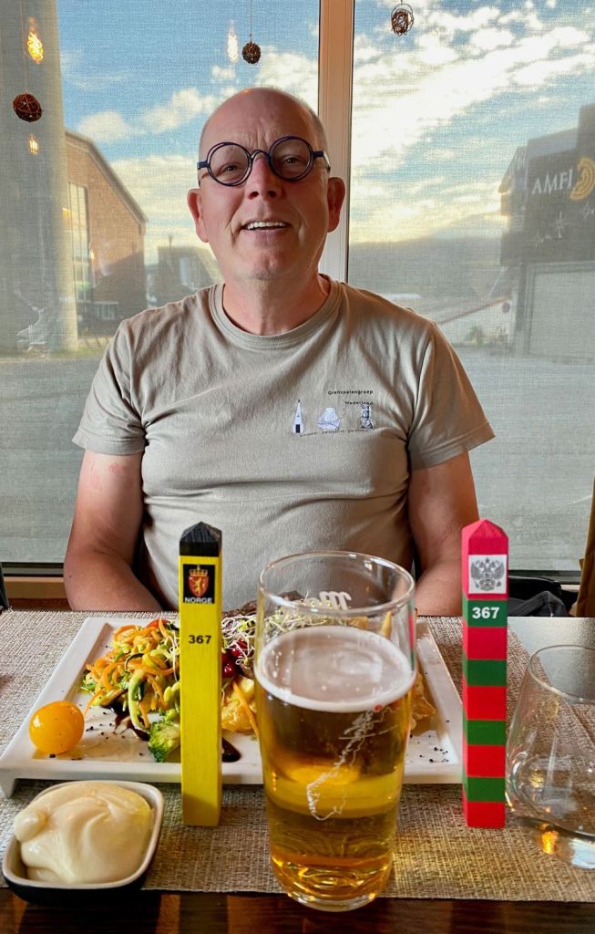
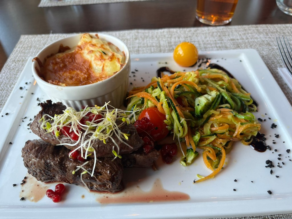
Returning to Kirkenes we all met up at the Surf & Turf Restaurant in Kirkenes for a meal, lots of opportunities to catch up, enjoy Norwegian food and beer. A special moment was to meet and catch up with Frode Berg, a previous president of the IBRG. Hearing about his adventures in Russia and his career in the Norwegian Border Commission was fascinating.
Day Two
Please click on the photos below to access additional information, photos and maps of the POI’s.
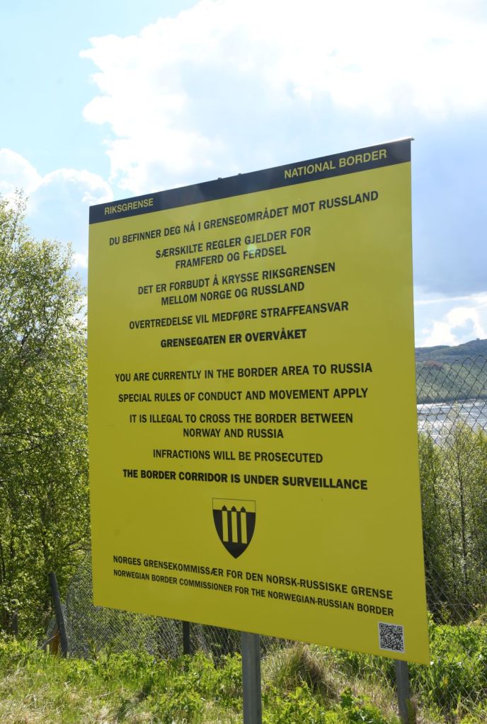
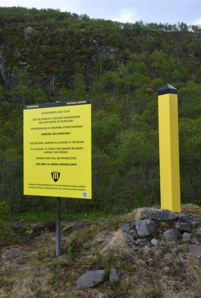
Our second day was a busy one with us firstly driving to firstly to Skafferhullet a closed border crossing between Norway and Russia. Here we meet Frode Nielsen Børford, a journalist with the Sør-Varanger Avis. It is a fascinating place with watchtowers, fences, old border control facilities and an interesting history.
Skafferhullet


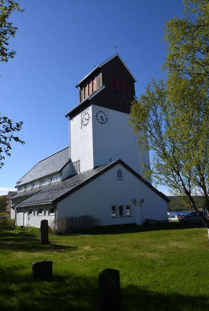
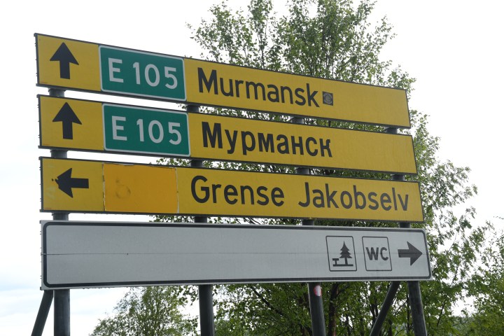
Grense Jakobselv
After leaving Skafferhullet we headed north to Grense Jakobselv where the Norwegian – Russian border meets the Barents Sea. An isolated settlement, an iconic Church and many border markers all against the backdrop of Russia just across the river made this a fascinating place.

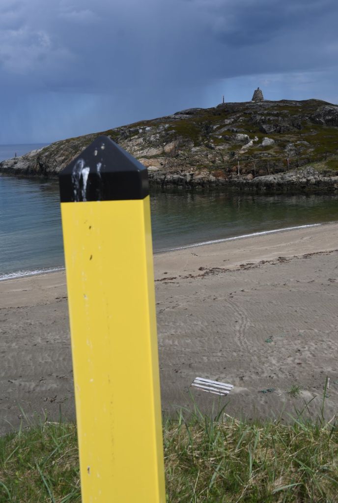

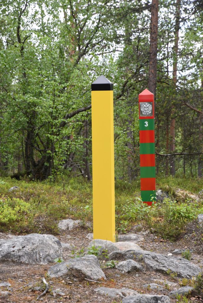
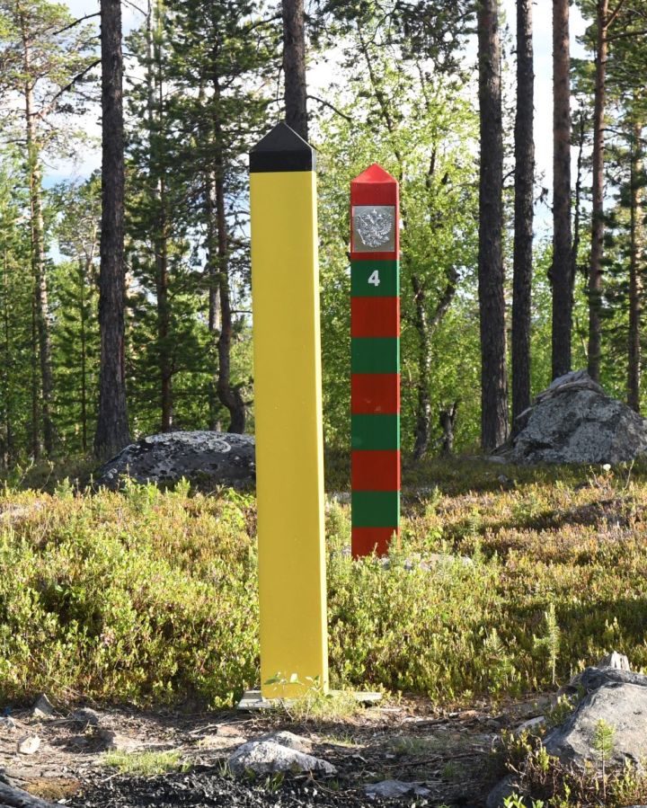
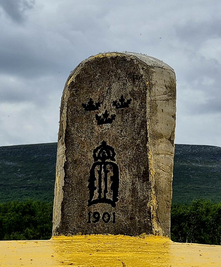
Jakobselva border markers
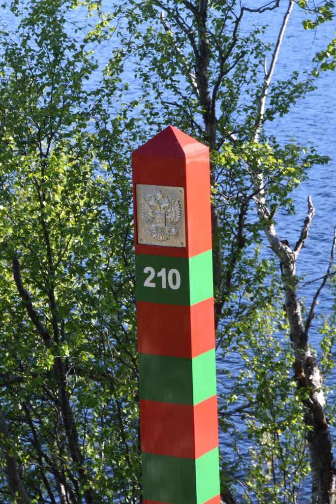
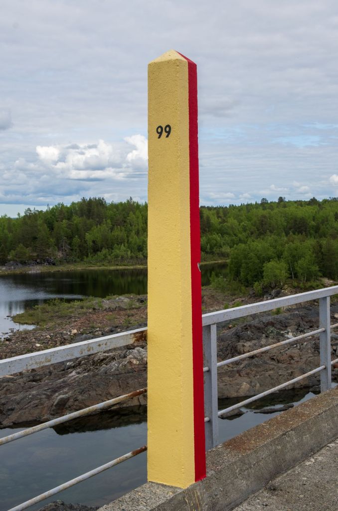
Travelling to and from Grense Jakobselv meant travelling along a road close to the Russian border. We stopped and examined several border markers. The Russian ones, at a distance.


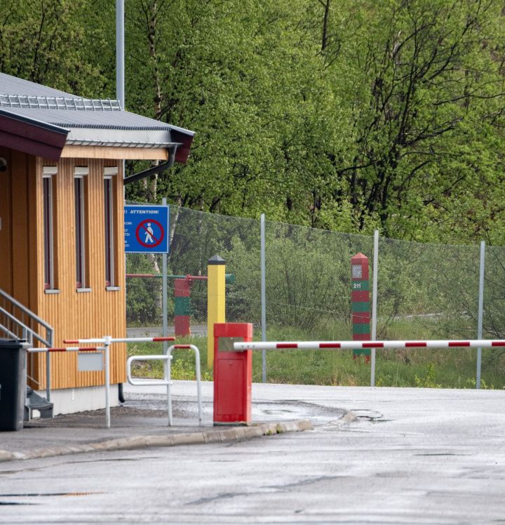
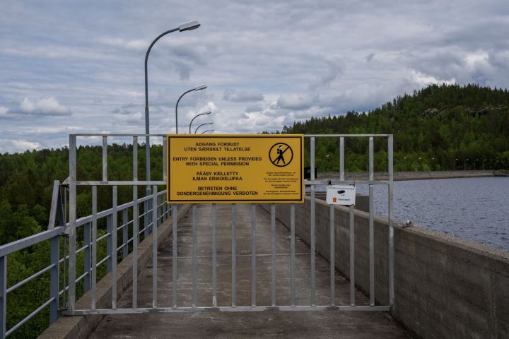
Storskog – Borisoglebsky Border Crossing
Our final visit of the day was to the only border crossing between Norway and Russia. There is also a duty free shop on the Russian side. We contacted the Norwegian authorities to ask permission to enter the restricted zone to take photographs of BM# 211 which is situated immediately behind the Norwegian building. Although unsuccessful we were able to get some good photos of the crossing point.


Day Three
Please click on the photos below to access additional information, photos and maps of the POI’s.
This was the most busy day of the trip with 4 major POI’s (one by accident) and 6 secondary targets. With the long days we had enough daylight but did we have enough energy? What better way to start than with a boat trip with Barents Safari from Kirkenes harbour to the Russian border along the Paatsjoki river. Barents Safari have a summer camp right by the border. There is a local history display focusing on the local people and their culture. The platform is a great place to look into Russia and the Boris Gleb church as well as visually exploring the border line between Norway and Russia.
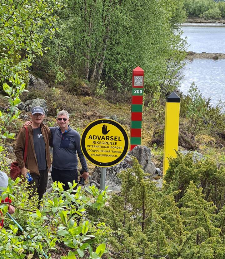
BM #200

Melkefoss dam
Our second visit after a 2 hour 85 km drive was the Melkefoss hydroelectric station, we arrived here by accident (it was the wrong dam), but were able to explore the cross border dam and see BM’s 111 and #112.


Upon realising our mistake, we made the 6 km drive further south to Skogfoss Dam where we were expected by Tor Beddari who was to be our guide. Parts of the dam pass over the Russian border (although it is all under Norwegian control) and it would be possible to drive over the dam. There are roads to the road network of both countries, but the border crossing is not open to public. We had special permission to visit the border.
Skogfoss Dam

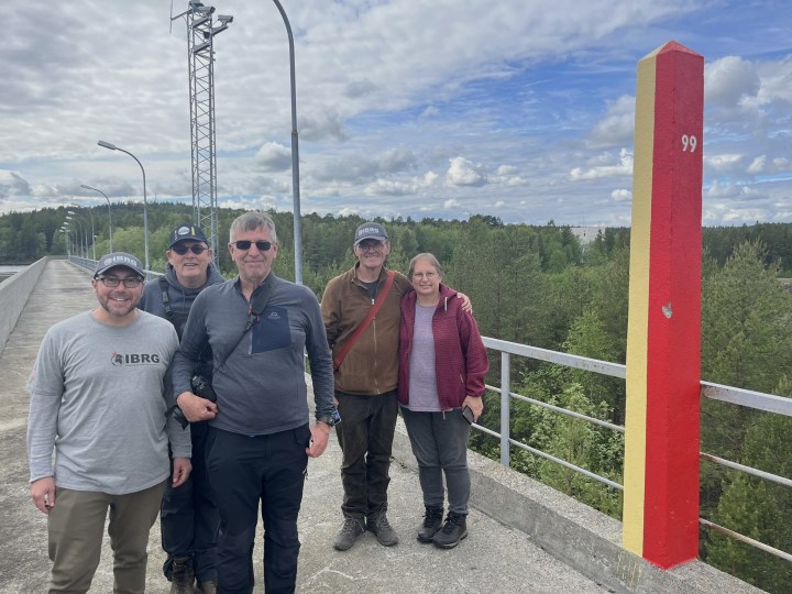
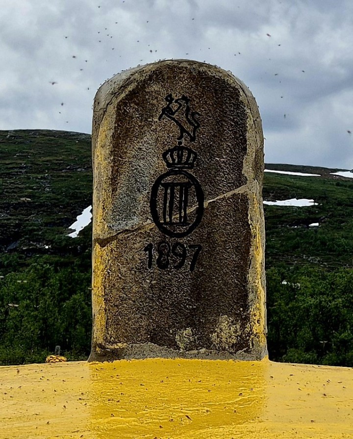
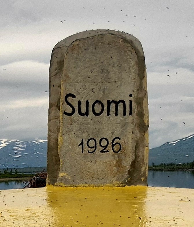
FINORU
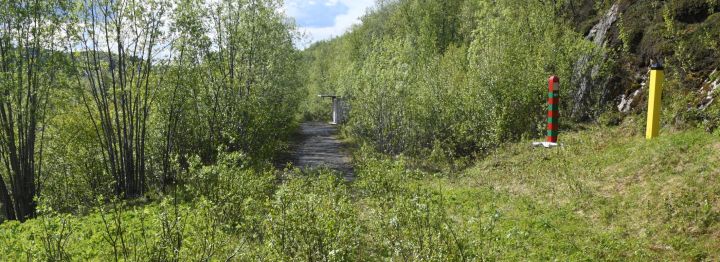
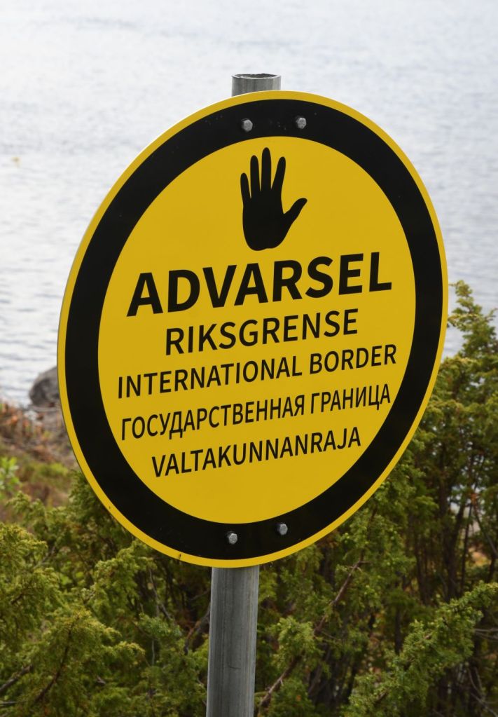
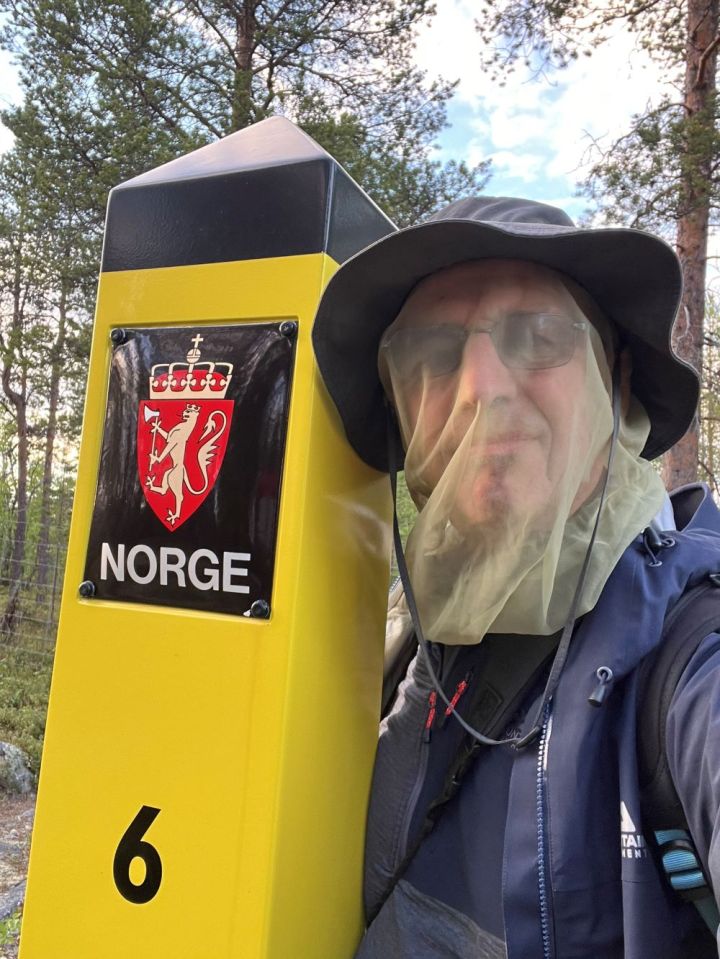
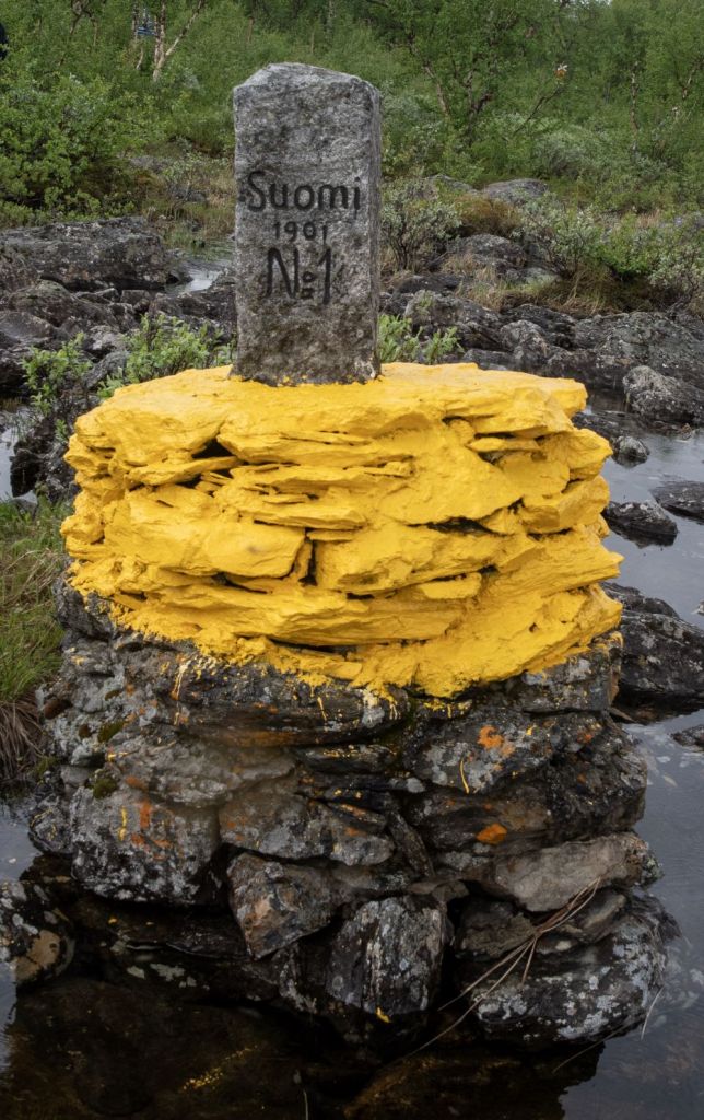
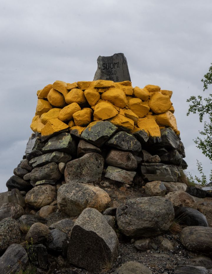
After leaving the dam we had another long drive to reach the car park at Grenseberget which is the end of the road and marks the start of our 5 km walk which follows a marked track for 5 km up to the tripoint monument Treriksrøysa. The walk follows the Norway – Russian border and in some places is very close to it. With some planning, and by using the cleared border corridor it is possible to combine a visit to the tripoint with an opportunity to bag the border markers BM#1 to BM#6.
Treriksrøysa (‘Three-Country Cairn’) is a cairn which marks the tripoint where the borders between Finland, Norway and Russia meet. It is the only place in Europe where three time zones meet: Central European Time, Eastern European Time and Further-eastern European Time. Non EU members of our group were not able to enter Finland.


Norwegian/Russian border markers #1 to #6
With some effort, wading through water and marsh, crossing and recrossing small rocky tracks and getting through the reindeer fence, it was possible to visit the first 6 border markers on the Norway-Russia border.


Day Four
Please click on the photos below to access additional information, photos and maps of the POI’s.
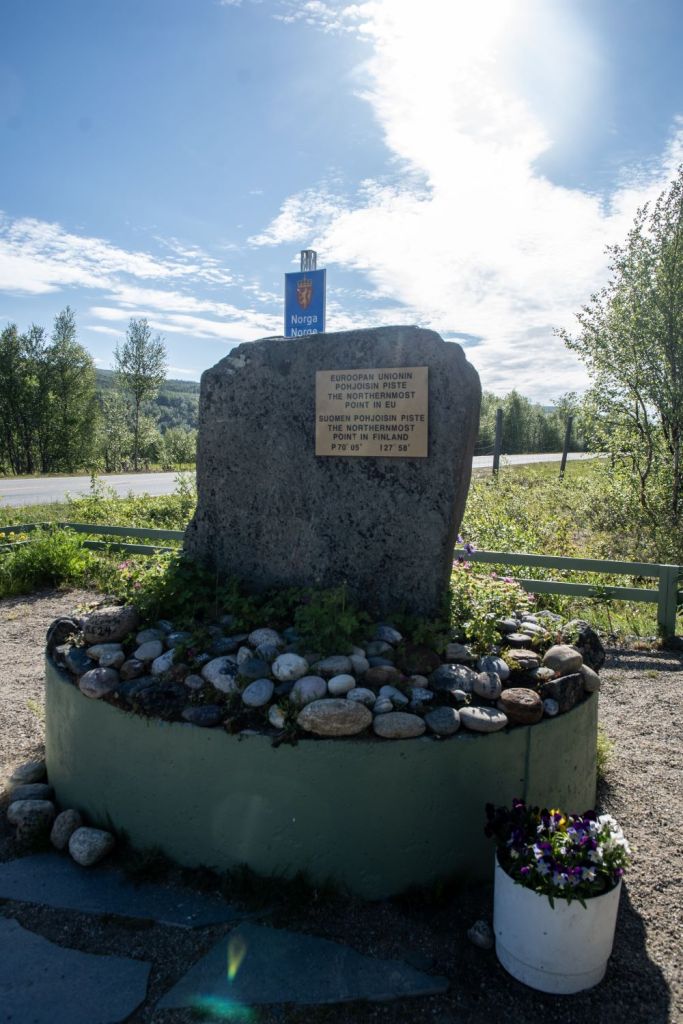
Looking at the itinerary this could be described as an easy day because there was only one border POI but it wasn’t. We decided that we should make the 2 hour car journey from Kirkenes to the most northern border crossing point in the world between Polmak (FI) – Nuorgam (NO). As we were later in the afternoon flying to Tromsø we needed to make an early 05.00 start from our hotel (who kindly made us breakfast bags to go). The border crossing also allowed us to visit the most northern point of Finland and also the EU. Unlike my experience at the FINORU tripoint there was no problem with me entering Finland. An unexpected bonus was a visit to the local customs office where we ended up having coffee and cookies with the local officials. Border trips are always interesting and full of surprises

Polmak – Nuorgam border crossing
Polmak (FI) – Nuorgam (NO) border crossing is the most northern border crossing in the world. It is also the northernmost point of Finland and that of the EU which is marked by a monument. The Norway – Finland border is well demarcated with stone cairns and it is easy to spot a number near the road and along the border in both directions.


Skoltefossen
On the way back to Kirkenes we stopped to explore a waterfall, super impressive in terms of size and the roar of the water as it crashed past us.

Skoltefossen is a waterfall in Sør-Varanger municipality in Finnmark . It is located in the Neidenelva , 9 kilometers from the mouth of the Neidenfjorden .
The waterfall has a drop height of 7 meters and is around 80 meters long. It is part of a 1 km long section of rapids.
Onwards to Finland
After we returned to Kirkenes we headed to the airport and dropped the hire car off. 2 of our group had taken the earlier flight with us meeting up later in Tromsø. Our focus was now shifting to the next day and our trip to the FINOSE tripoint between Finland, Norway and Sweden. Once in Tromsø we drove to Kilpisjärvi in Finland with a stop at Vollan Gjestest at Nordkjosbotn which was about half way for something to eat . We arrived at our hotel with 10 minutes to spare (having “lost” an hour when travelling from Norway to Finland).


Day Five
The last day! Although we only had 2 border POI’s on our to do list, this would be a long day with us visiting the FINOSE tripoint between Finland, Norway and Sweden before driving back to Tromsø.
Please click on the photos below to access additional information, photos and maps of the POI’s.
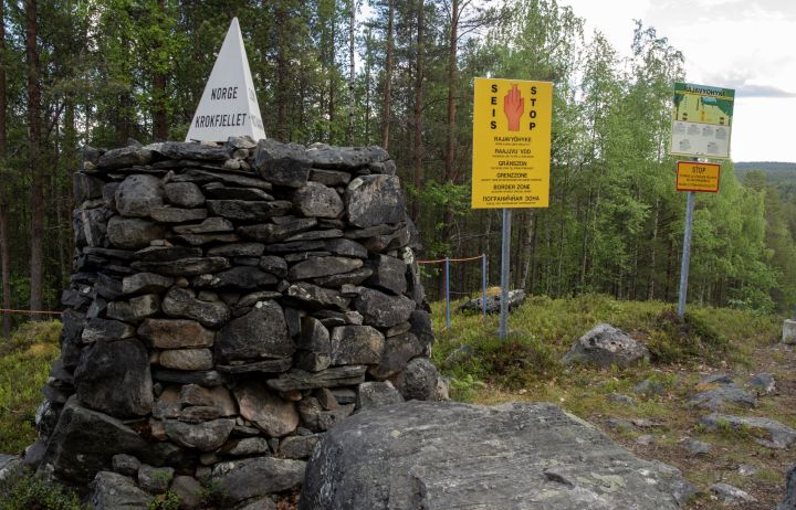
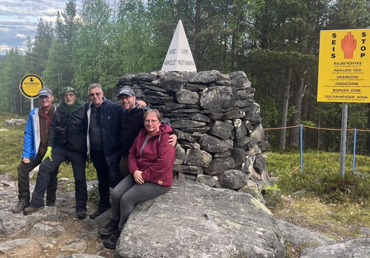
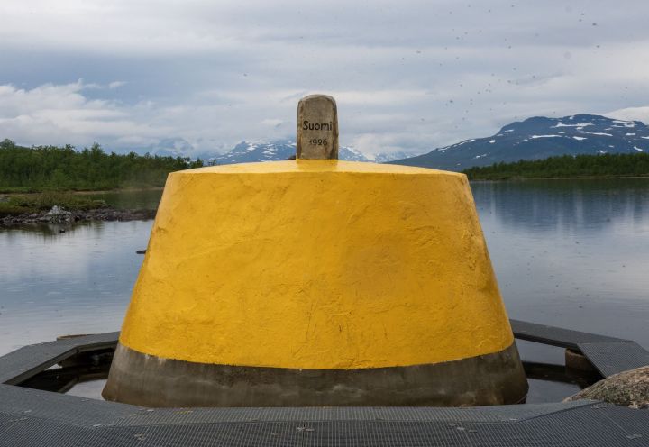
FINOSE
FINOSE is the northernmost international tripoint in the world, it is also the westernmost point of mainland Finland and the northernmost point of Sweden. Our trip started the with the ferry from the small boat harbour at Siilastupa near the village of Kilpisjävri across Lake Kilpisjävri to Koltalahti/Koltaluokta at Swedish side of the lake. We undertook a detailed examination of the whole tripoint area, visiting all the border markers on the 3 borders as well as the impressive tripoint cairn. We opted to follow the Malla Trail (11 km) back to Kilpisjärvi as this would give us enough time on the ground.


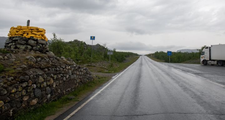
Kilpisjärvi – Skibotn border crossing
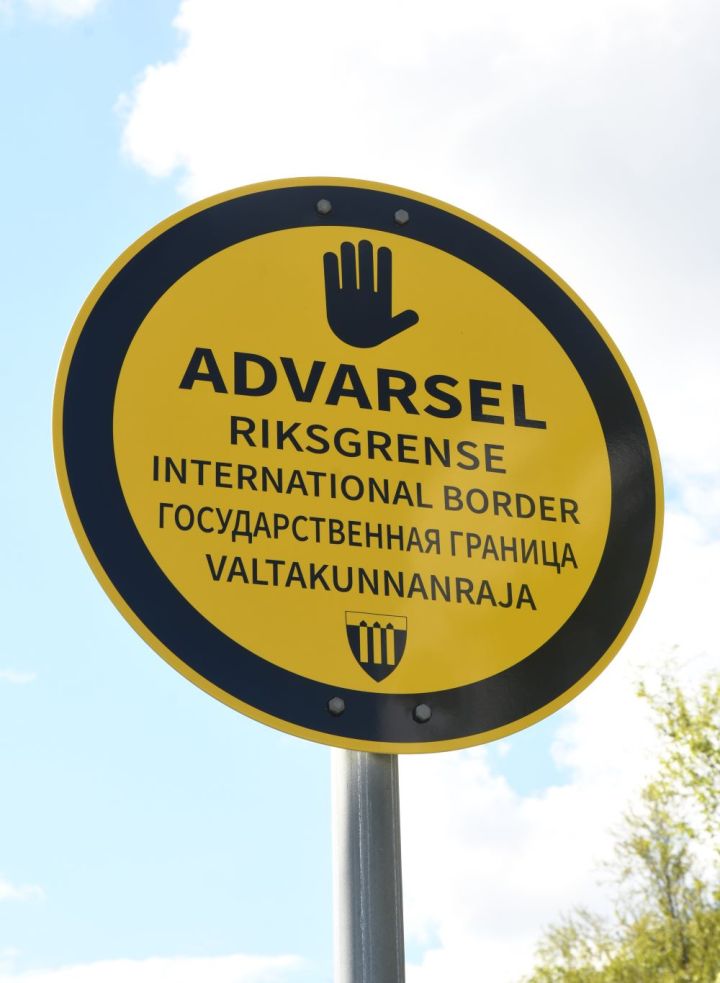
The Kilpisjärvi (FI) – Skibotn (NO) border crossing is 10 km from Kilpisjärvi and is relatively remote. There is plenty to keep a border enthusiast interested in. As an international border there are several national and local signs. The Norway – Finland border is well demarcated with stone cairns and it is easy to spot a number near the road and along the border in both directions. This is a time zone and external EU border.


All that remained was to drive back to Tromsø via our go to restaurant for a well earned meal. We arrived at our hotel in time for a quick celebration drink and talk about our adventures over the past 5 days. Participants flew home the next day at varied times. An amazing visit, one of the most memorable border expeditions, with great company and much fun.
Videos
Der letzte Bus von Norwegen nach Russland | Fokus Europa
Other IBRG Members Reports
- Piet van der Giessen (NL) an IBRG member and author of the Grenspalen.one website. His report is here

Dates of Visit: 14-19 June 2024
