
Central America is a relatively unknown area for border enthusiasts. Members of the International Border Research Group (IBRG) had visited most continents but the 3 tripoints and associated Points of Interest were relatively unknown. To add to the difficulty there was little information on the internet on how best to visit the tripoints, border crossings and border markers that we had identified as major targets. Travelling so far and with a 3 week window meant compromises and choices had to be made. Being such an interesting area meant there would be additional foci, including the regions culture, its villages, towns and cities as natural features such as the volcanoes of El Salvador.
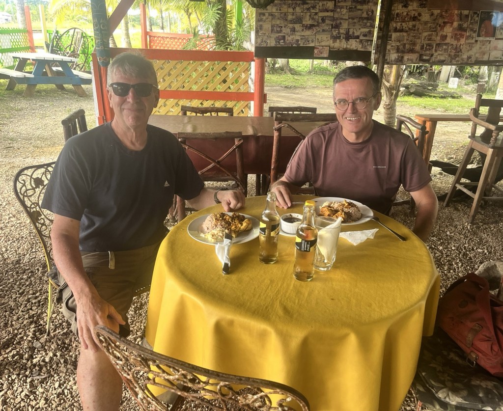
As with all the IBRG trips there was lots of discussions, food and drink! This page is an introduction to the trip with individual reports being accessible by clicking on either the photos or the links (in red) either within the text or via the menu of the right hand side of the page.
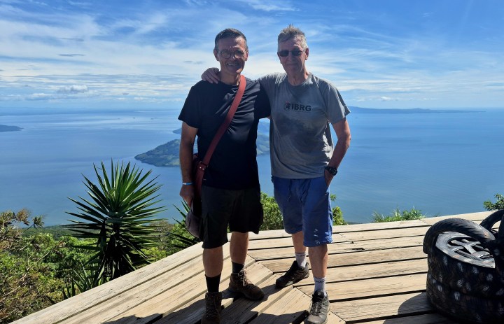
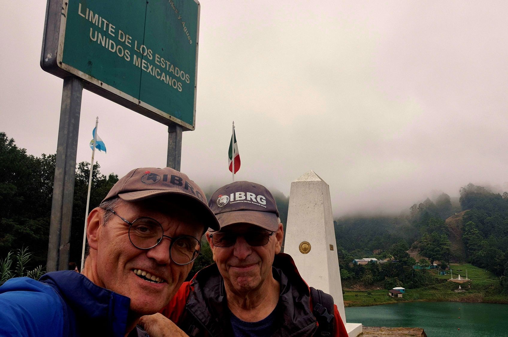
There were 2 IBRG participants on this trip, the President Steen Schelde (DK) and Vice President Barry Arnold (UK).
Collectively we learnt a lot about the planning and organisation of “out of area” trips, especially in under estimating the time needed to travel between points, the changing visa regimes and how tough some of the hikes to POI’s were.
Tripoints
On the apex of most border enthusiasts target lists are tripoint. We had no idea how successful we would be in trying to visit each of them.
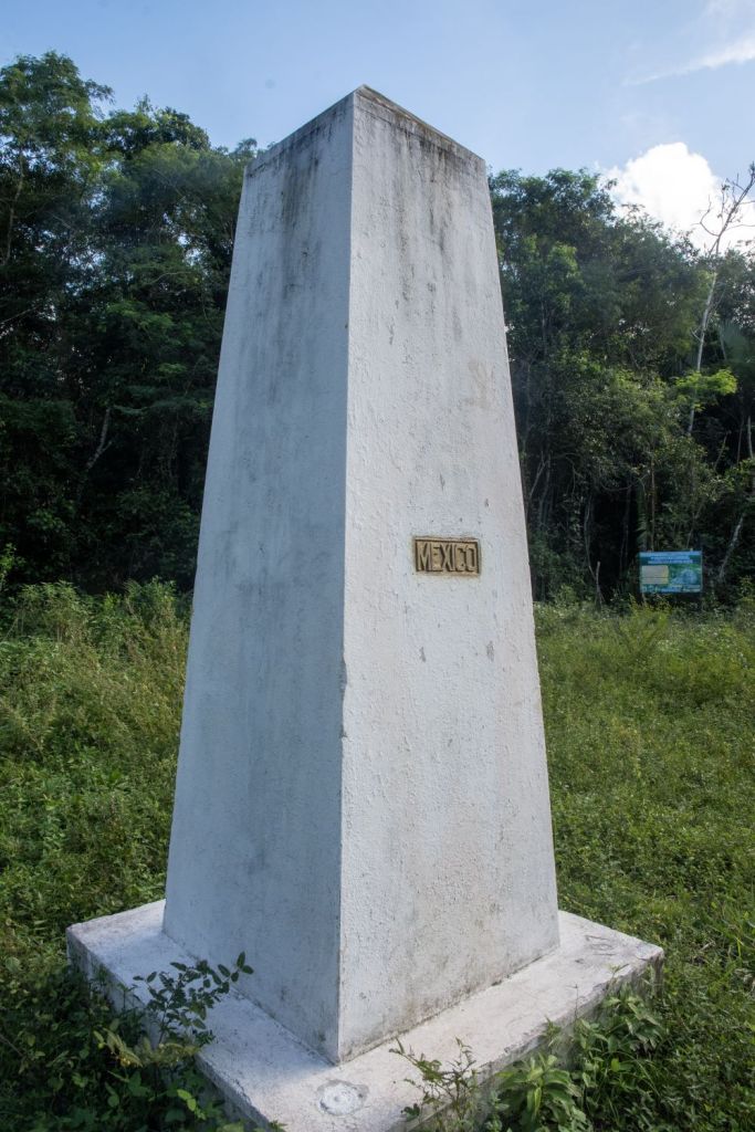
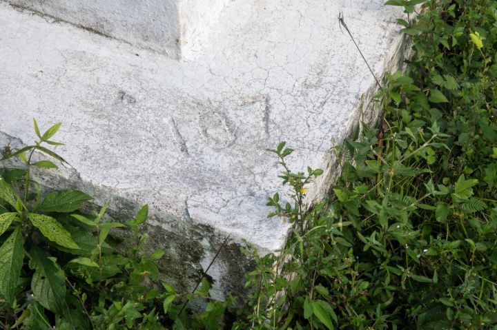
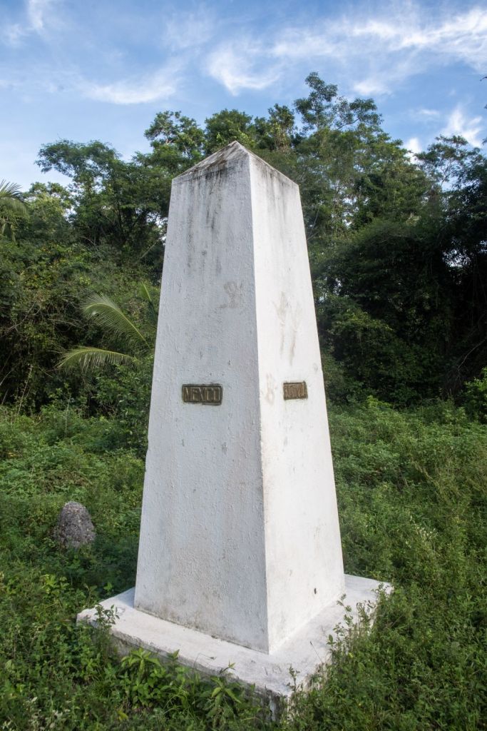
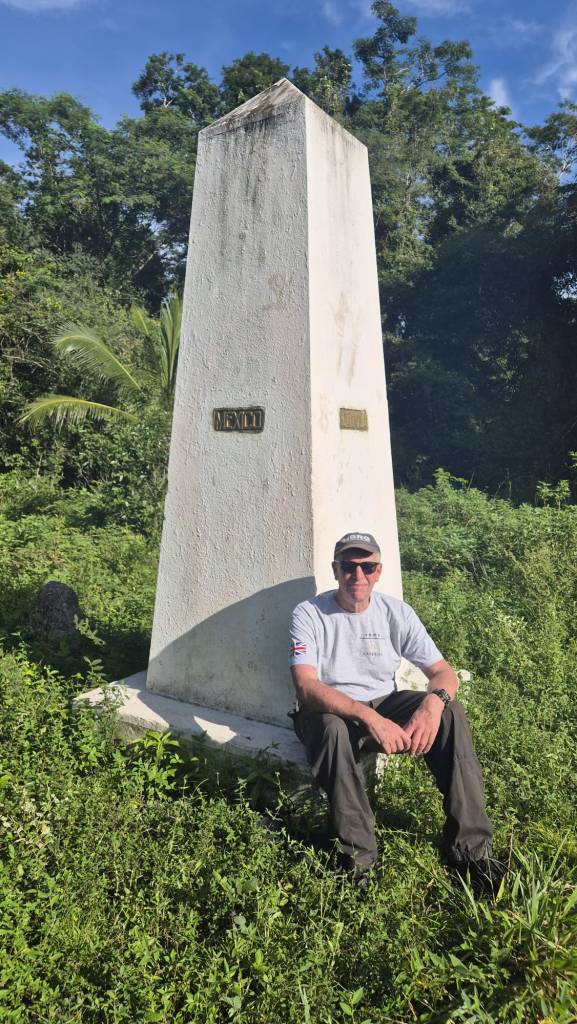
There are 3 tripoints in Central America, the first is the tripoint between Belize – Guatemala – Mexico BZGTMX, a remote tripoint deep in the jungle which involved a long trek from the small Mexican village of Pioneros del Río Xnohá. It was by far the most difficult to access of any of the tripoints attempted by members of IBRG, The second is the tripoint between El Salvador – Guatemala – Honduras GTHNSV, the most western tripoint in the world. The tripoint is located at the summit of Cerro Montecristo (2418 m) located within the tri national the Trifinio Fraternidad Transboundary Biosphere Reserve. The final tripoint is between El Salvador – Honduras – Nicaragua HNNISV a wet tripoint located within in the Golfo de Fonsca. This is a complex geographical arrangement involving 2 shared tridominium waters.
Please click on the photos below to access full reports with maps, photos and visit details.
BZGTMX
This was the tripoint we were least certain about visiting. Very few photos existed and although Belizean border enthusiasts had visited, they did so in vehicles with considerable support. We walked in through jungle paths, disappearing tracks, swamps and overgrown paths. We were only certain we were going to get there when we reached the Mexican – Guatemalan border markers and turned east towards the tripoint.

GTHNSV
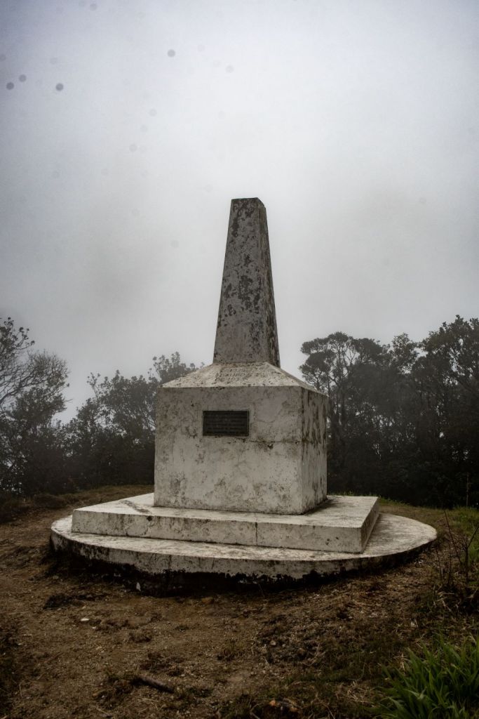
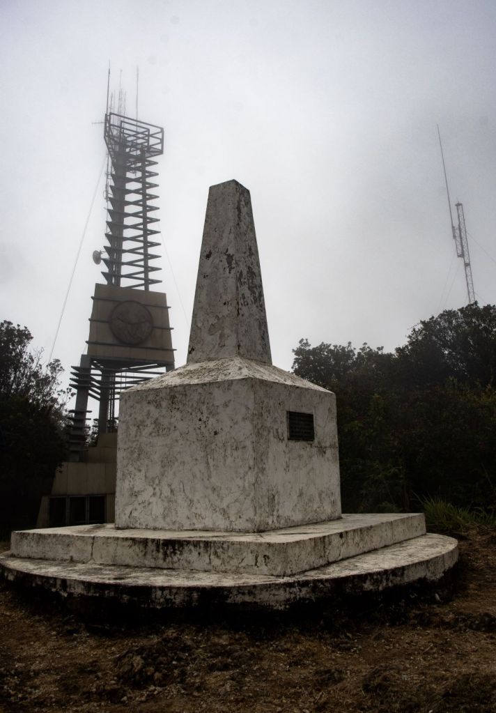
The tripoint is located at the summit of Cerro Montecristo (2418 m) in the Montecristo Massif. This point is known as Trifinio. The tripoint is marked by a white tripoint monument close to a nearby observation tower that commemorates the establishment of the national park. The tripoint is only accessible from El Salvador and there are no tracks from the other 2 countries. A long drive and a 6km walk led us to the summit. Another remote and rarely visited tripoint bagged.


HNNISV
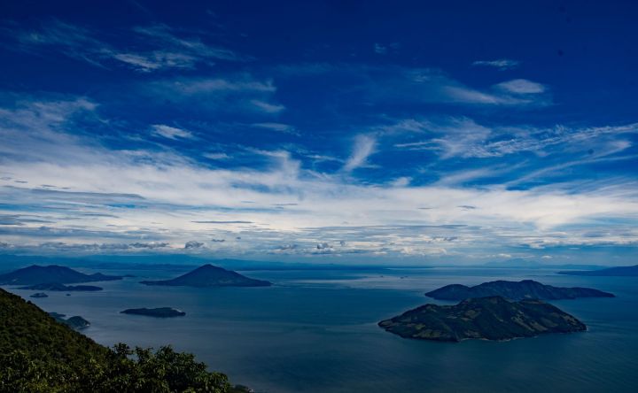
Visiting a wet tripoint is difficult, one’s perspective is affected by the country one is in. The Gulf of Fonseca is large and a lot of the shoreline is inaccessible. We decided due to logistical constraints to view the tripoint from the summit of the Conchagua volcano in El Salvador, another tough trek to the top. This is the most complex tripoint arrangement in the world with 2 shared tridominium waters. A visit to the other 2 countries is being planned.
Border Markers
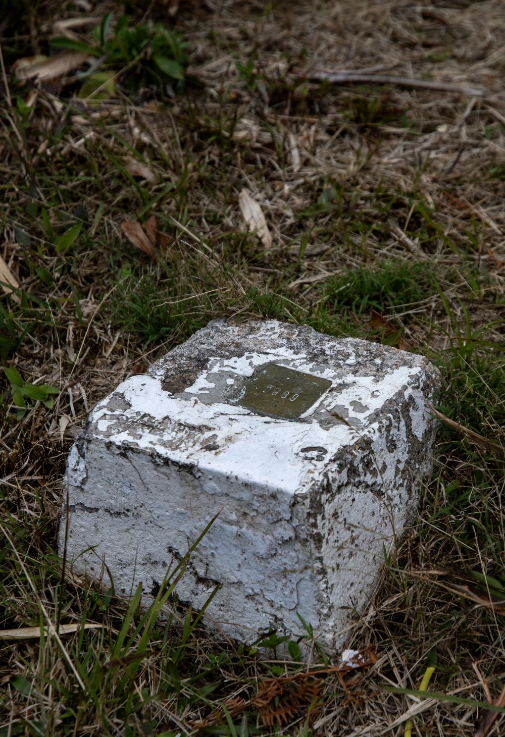
Another dimension of being a border enthusiast is finding and recording border markers. Borders can be extremely well demarcated or not marked at all. On this trip we were able to find markers on all the borders we visited with the exception of the Honduras – EL Salvador border. The Guatemalan – Mexican border is very well demarcated, whereas the Belize – Mexican border which follows the Hondo river did not have any markers – although we found a plaque on the Puente Internacional Santa Elena between Subteniente López (MX) and Sta Elena (BZ). Finally the Belize – Guatemala border (266 km long) is marked by only 3 markers and a target was to visit all 3.
Please click on the images below to access visit reports with maps, photos and analysis.
Guatemalan – Mexico border
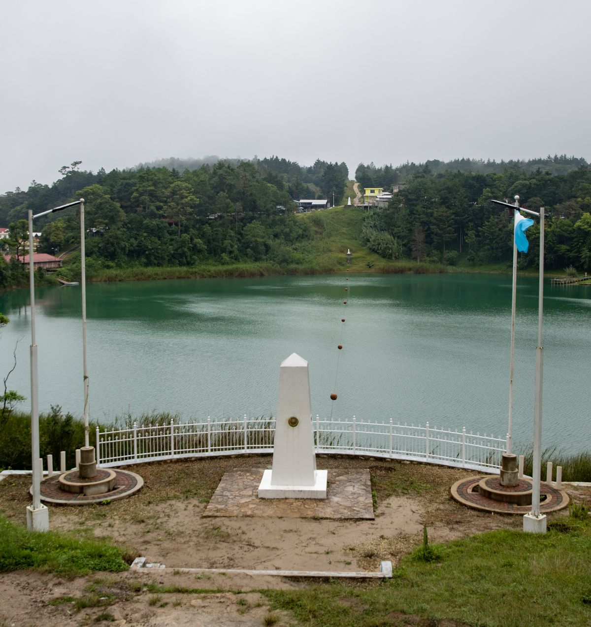
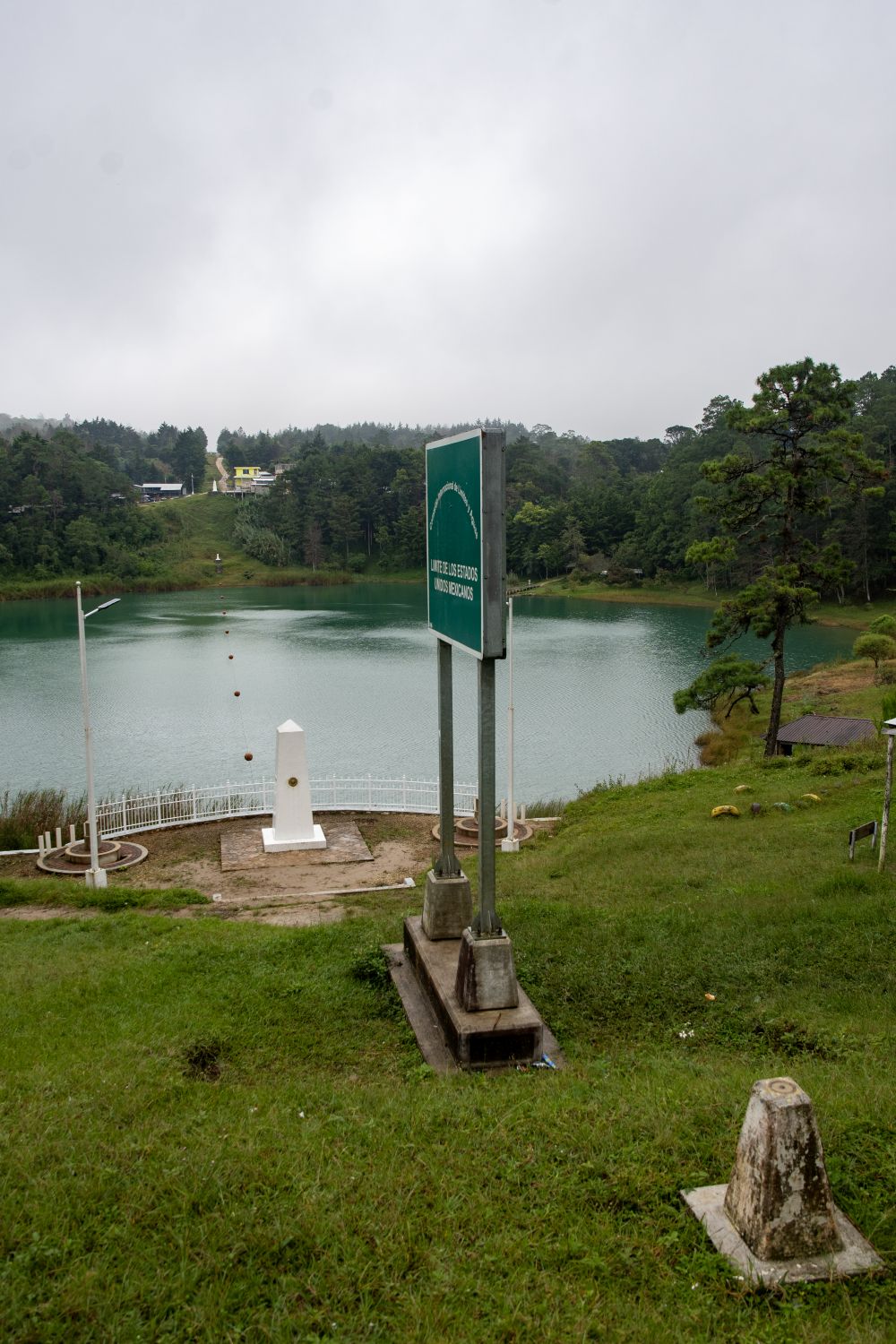
Mexico and Guatemala agreed to use straight lines between key points known and accepted by both countries. Two such points are the tripoint with Belize at the Aguas Turbias monument, and Volcán Tacaná (4060m). The measurement and demarcation work was completed in 1899. Border markers were visible at each crossing point (see below). The best example of how the border was demarcated was Lago Internacional, a small lake near Tziscao which is divided in half by the border. The border is externally well demarcated with large and small border markers, flags, plaques and signs.


Belize – Guatemala border
Guatemala – Belize border is an almost straight line 266 km long, close to the 89th meridian west, it is marked by only 3 markers: Gracias a Dios Falls on the River Sarstoon, Garbutt’s Falls on the River Belize and finally the Aguas Turbias monument at the BZGTMX tripoint.
We maybe are the only European border enthusiasts to have visited all 3. The first marker visited was at the BZGTMX tripoint outlined above. The marker at Garbutt Falls was close to a border crossing and was an easy walk in, whereas the marker at the Gracias a Dios Falls involved an all day boat trip from Punta Gorda in Belize.


El Salvador – Guatemala Border
We discovered 2 border markers on this border close to the GTHNSV tripoint.

Border Crossings
The third dimension of any border trip are border crossings. For border enthusiasts they are fascinating places, the demarcation of the border, the actual line, the buildings and procedures for crossing the border, the hustlers and dodgy people who seem to be often present, as well the final moment of getting that new passport stamp. The border crossings we visited were varied, from small remote crossing points to major ones. Perhaps the most exciting was crossing the Hondo river in a small boat to visit Belize for first time. Crossings in Central America are time consuming especially with a hire car and its associated paperwork. On 2 occasions we missed a checkpoint and had to go back, on one occasion the UK member was not allowed into Honduras due to the recent introduction of consular visas. Always exciting and never dull.
Please click in the images below to access visit reports with maps, photos and analysis.
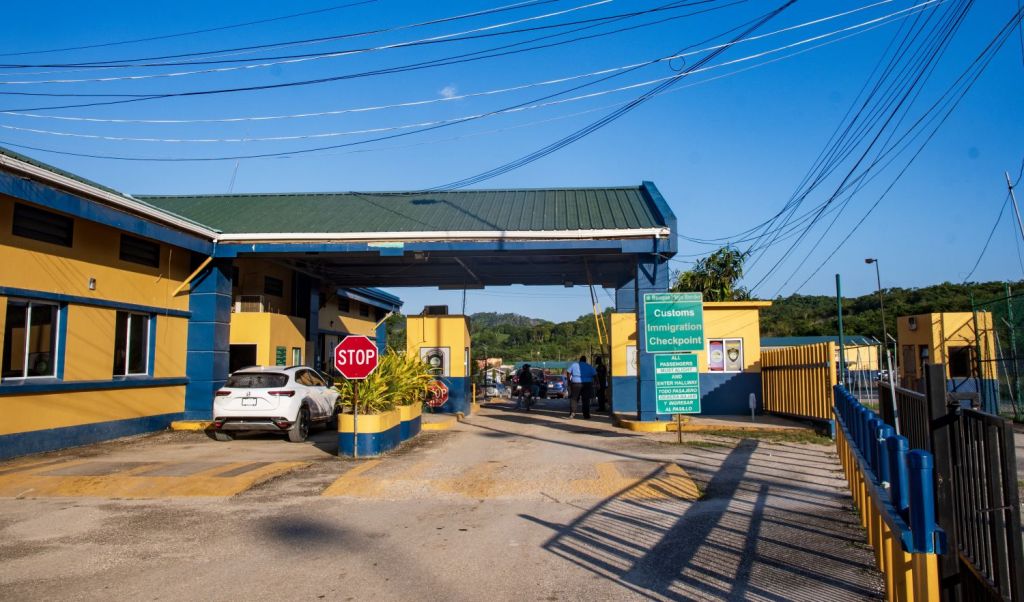
Belize – Mexico


Mexico – Guatemala
Carmen Xhán-Gracias a Dios Border Crossing. A small crossing in the most remote corner of Mexico’s southernmost state of Chiapas.

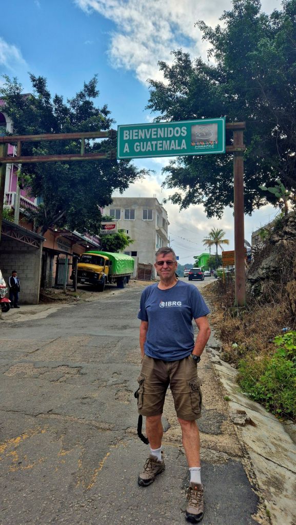
Guatemala – Belize
Melchor de Mencos border crossing is the only one between Belize and Guatemala. This a popular border crossing for western tourists being on the route between Flores and Tikel in Guatemala and San Ignacio in Belize.


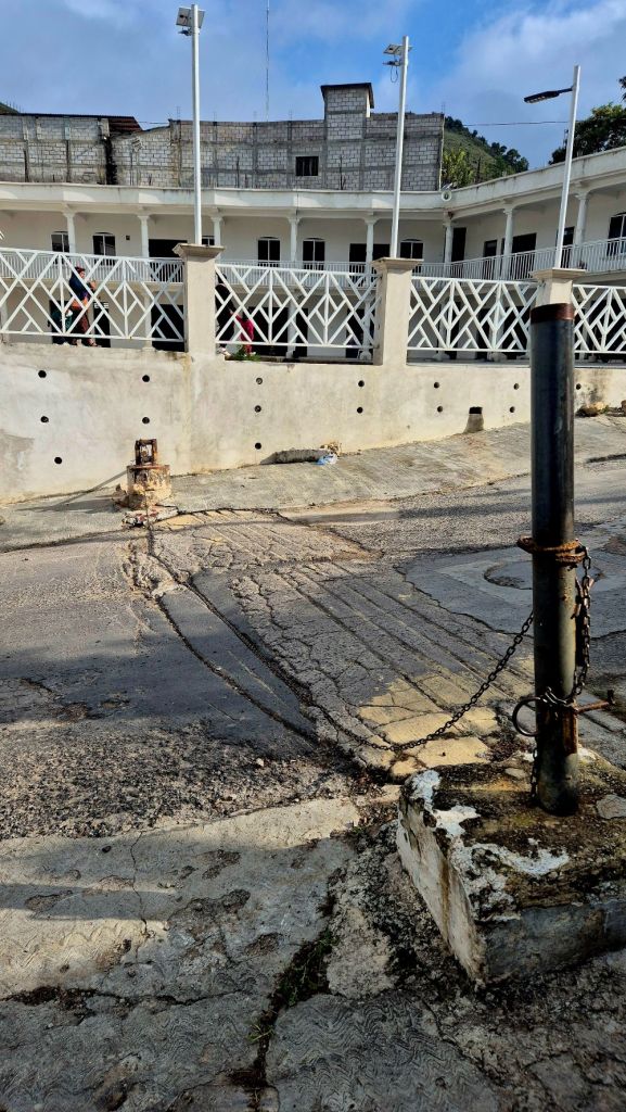
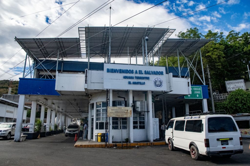
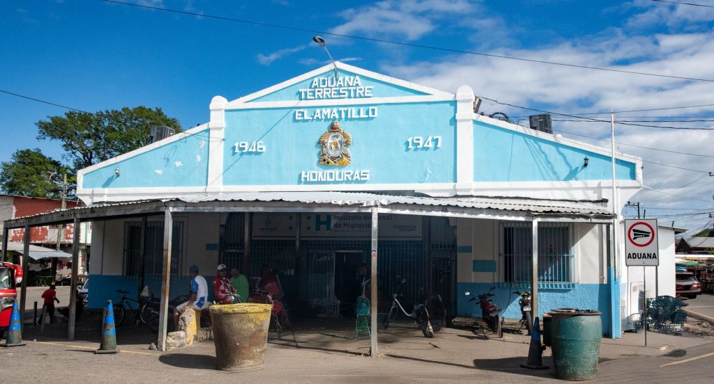
El Salvador – Honduras
El Salvador and Honduras share a 402-kilometer border. There are two official border crossing points and we visited the El Amatillo crossing in the east. Both sides of the border were well organised and streamlined. This crossing point is on the Pan American Highway. After completing the El Salvadorian exit procedures it is a short walk across the bridge that spans the border river Río Goascorán to reach the Honduras facilities. It was here I was refused entry due to me requiring a tourist visa (recent change just before our visit).


Non Border Interest
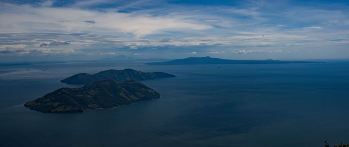
Central America is amazing, it is vibrant, colourful and loud. The Mayan ruins, the colonial architecture, the dramatic landscapes including many volcanos, the food and above all the people who are so friendly and welcoming. A few photos below (this time without links) try to capture something of the wonder of this part of the world. I would encourage everyone to visit.


Date of Visit: 15 November – 6 December 2024
