

The buffer zone – also called ‘the Green Line’ – extends approximately 180 km across the island. In some parts of old Nicosia it is only a few meters wide, while in other areas it is a few kilometres wide. Its northern and southern limits are the lines where the belligerents stood following the ceasefire of 16 August 1974, as recorded by UNFICYP.
The aim of CYBEX-24 was to visit as many POI’s along the buffer zone as possible within a 6 day visit, recognising that there would be POI’s left over for another trip. Prior to the trip we contacted UNFICYP and the British High Commission for permission to visit the old Nicosia International Airport, to join a UN guided tour of the Green Line within Nicosia and to visit the Nicosia War Cemetery and Nicosia (Waynes Keep) Military Cemetery which are within the buffer zone. Unfortunately, permission was denied due to heightened tensions between the 2 communities due to the 50 year anniversary of the conflict. Instead we focused on the buffer zone from the outside in Nicosia, visited exclaves, hunted for SBA markers and visited the highest and most north easternmost point on the island.
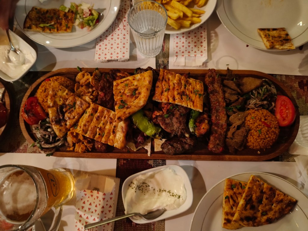
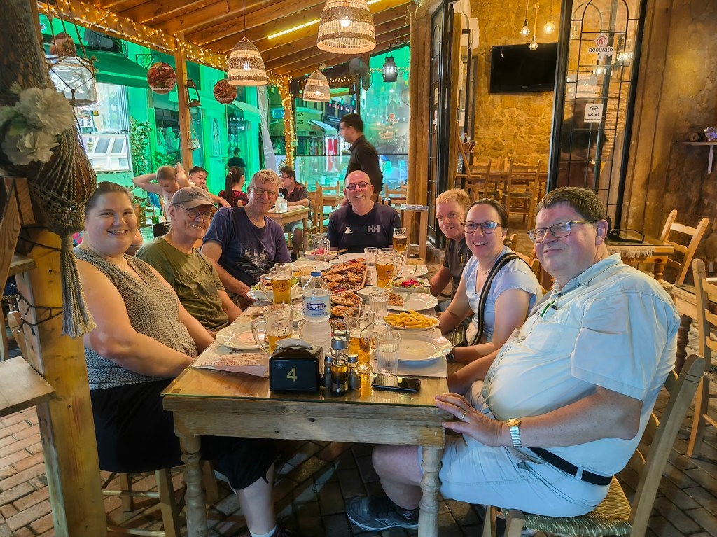
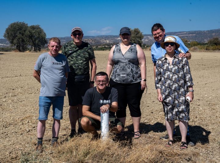
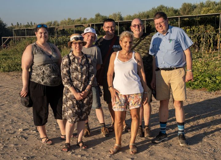
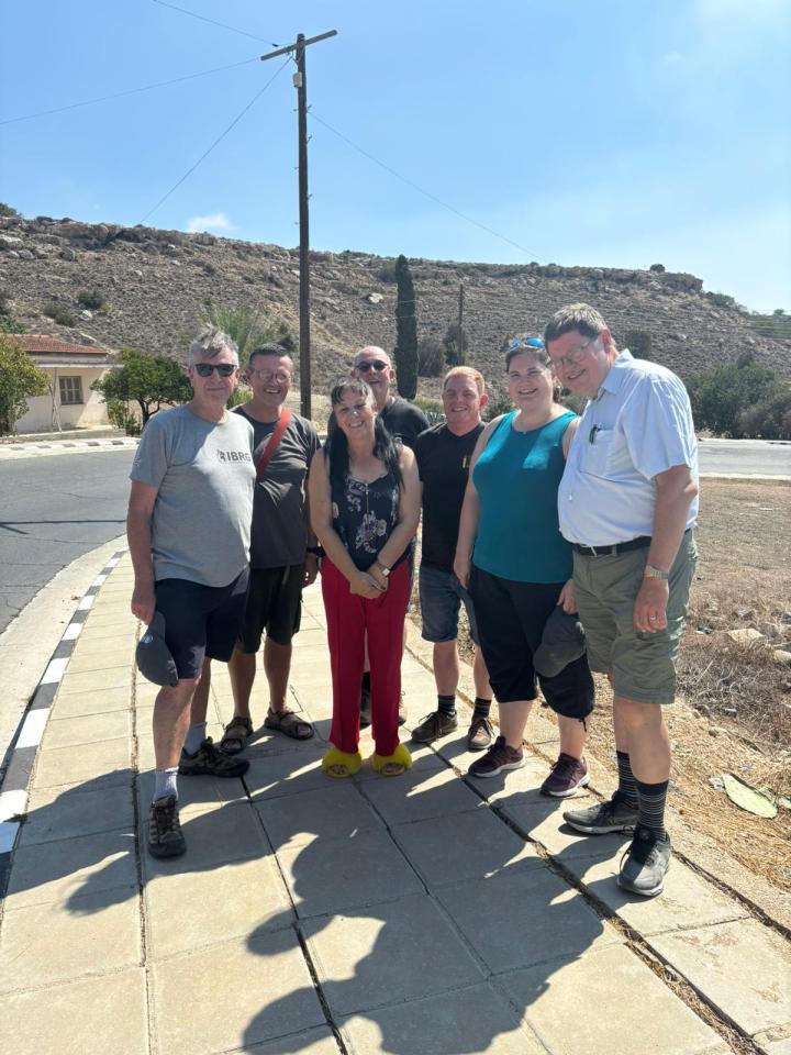
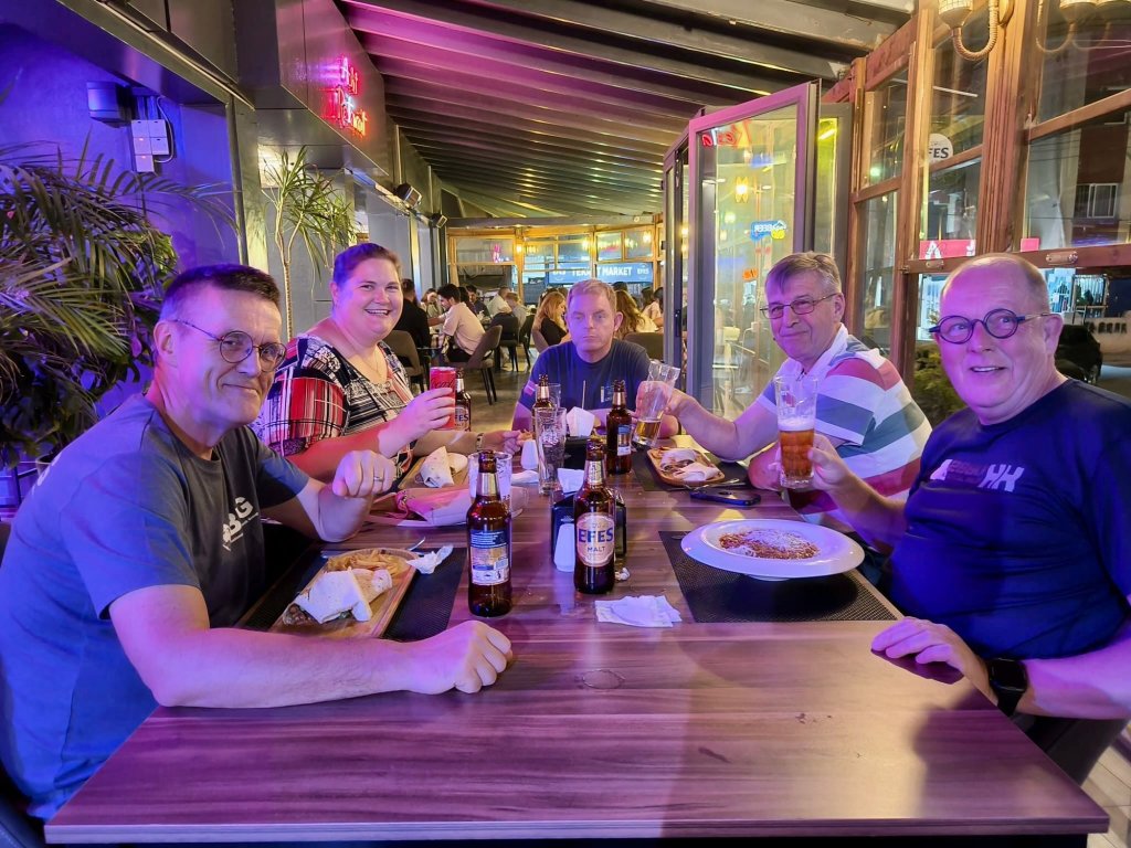
As with all the IBRG trips there was lots of discussions, food and drink! This page is an introduction to the trip with individual reports being accessible by clicking on either the photos or the links (in red) either within the text or via the menu of the right hand side of the page.
It was a staggered arrival with participants arriving at different times the previous day. It was great to meet up again after several months.
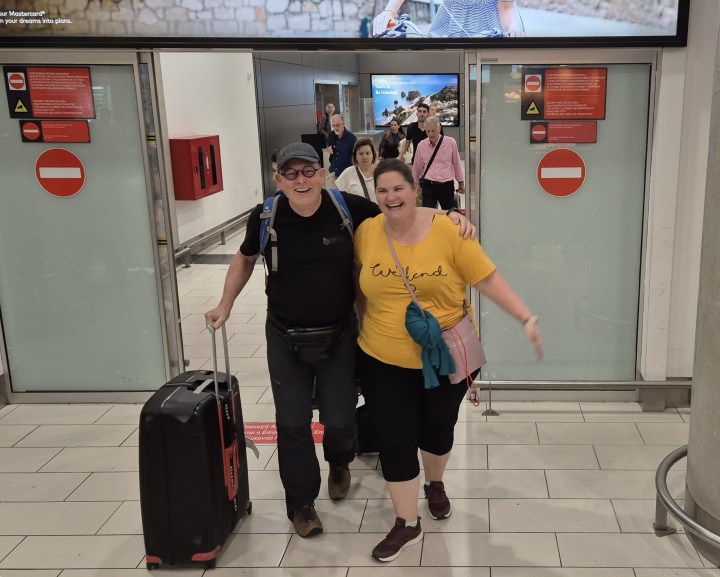

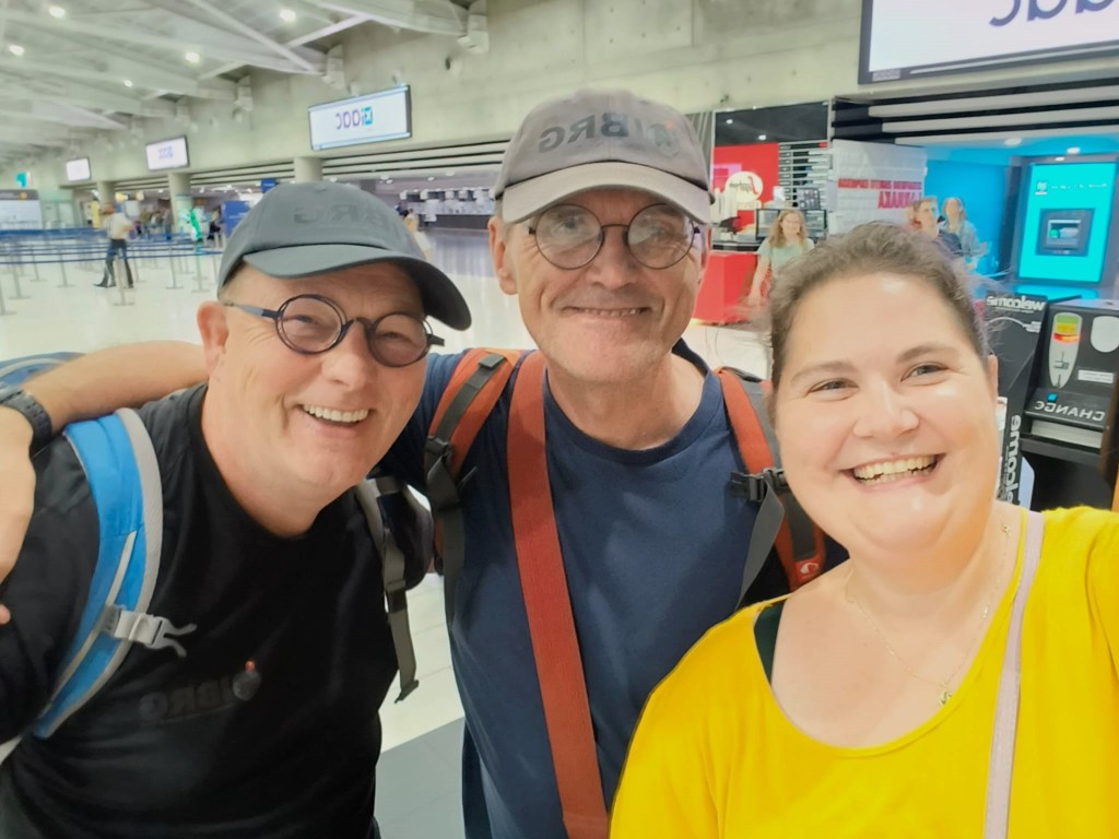
The early arrivals travelled to Nicosia by shuttle (only to discover that they are dropped on the outskirts and then needed to get to the hotel). Later ones waiting to get the hire mini bus, whilst the last ones arrived in the early hours.
It was inevitable, that the first meet up would take place in a café a few meters south of the Ledra Street crossing point. No hop across to the north but a few beers and forward planning for the next few days.
Day One
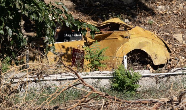
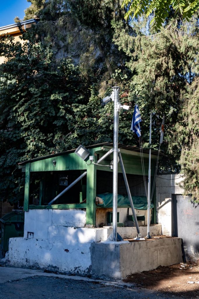
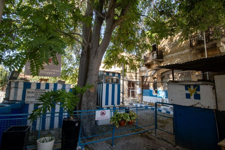
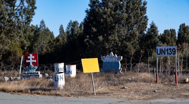
Once we had all arrived and after breakfast we headed from our hotel, which was conveniently situated near the buffer zone to explore the southern side of the zone. Starting at Paphos gate we headed east and took in all the POI’s we could find: highlights included the Green Line hut, the 10 minute yard and yellow car, several closed off streets and a number of UN bases. Photography generally was allowed, there were a couple of places where Greek Cypriot personnel were guarding gates where it was discouraged. Some places were on our list to see, others such as the Blue Tractor was a pleasant surprise. Popping over to the north became second nature, for a meal, a drink or to explore.
The buffer Zone from the South
Even though we were unable to walk through the buffer zone there were lots of opportunities to view into it
Please click on the photos below to access additional information, photos and maps of the POI’s.


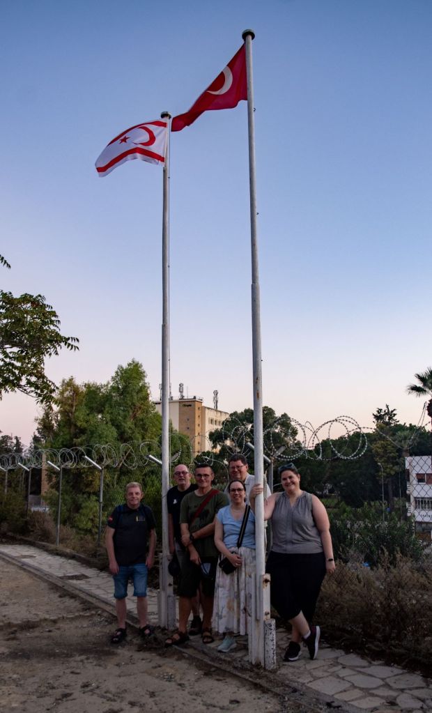
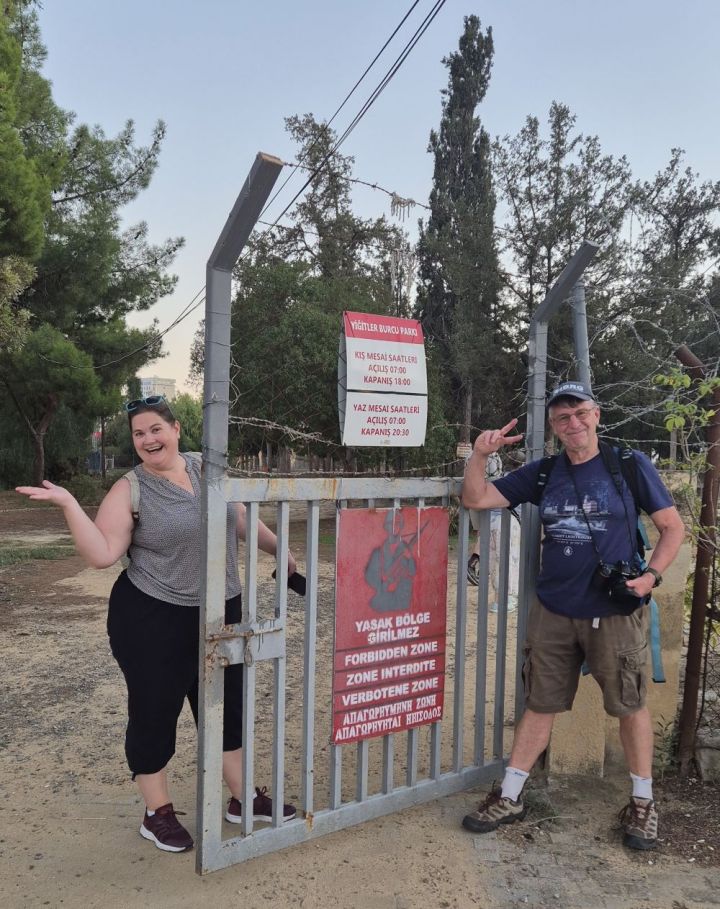
The buffer zone from the North
The north also provided opportunities to view the buffer zone, especially near the Ledra Palace crossing.
Please click on the photos below to access additional information, photos and maps of the POI’s.


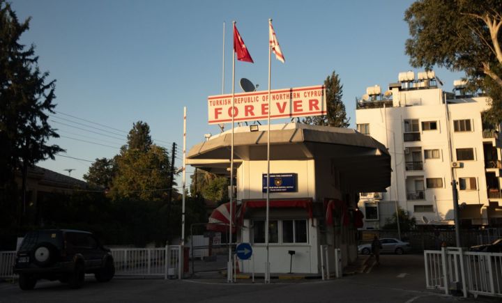
Border Crossings in Nicosia
There are 2 border crossings for pedestrians in the centre of Nicosia, they are both fascinating for border enthusiasts. The divide between the 2 sides is clear, culturally and economically.

Walking the buffer zone on both sides definitely got the step count up. All that remained was to have a celebration meal close to the Ledra Street crossing this time on the northern side.


Day Two
Following a busy day one, there was no let up with 4 border POI’s on the list. The highlight was the TRNC coastal pene exclave of Kokkina. Travelling there (following the recommended route in Google maps) involved crossing into the TRNC and back again. After exploring the exclave the next POI is Mount Olympus, the highest point in Cyprus. En route we would take time to visit the beautiful Kykkos Monastery. Other adventures occurred too!
Please click on the photos below to access additional information, photos and maps of the POI’s.
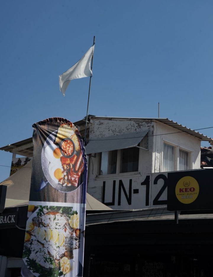
Border Crossings
Crossing from south to north and back again is straightforward although the TRNC officials discourage photography. Checkpoints are located on the edge of the buffer zone.


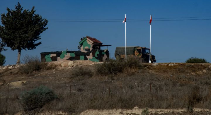
Kokkina – a coastal pene exclave
Kokkina is a TRNC military base separated from the mainland TRNC by 7 km. It has been an exclave since 1964 when due to inter communal violence Turkish Cypriots clustered together for protection. UN forces have been in place since that date. Although is is a highly restricted area, it is possible to view the exclave from the outside: from the old coastal road access points and from various viewpoints on the mountains that surround it. There are many fortifications and lots of OP’s UN, TRNC and RoC.


We travelled to a small fishing village that overlooks the exclave, its base and the Turkish and TRNC flags carved into the mountain. A lovely fish lunch followed.

Kykkos Monastery
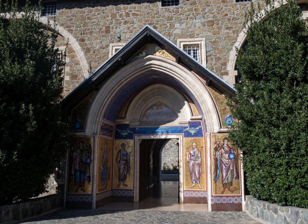
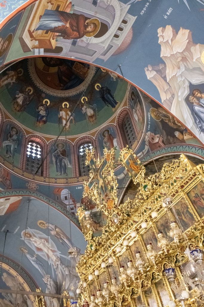
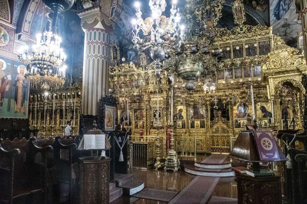
Kykkos Monastery, which lies 20 km west of Pedoulas, is one of the wealthiest and best-known monasteries in Cyprus. The Holy Monastery of the Virgin of Kykkos was founded around the end of the 11th century. The monastery lies at an altitude of 1318 meters on the north west face of Troödos Mountains. There are no remains of the original monastery as it was burned down many times. The current church dates from 1745. It is known for its rich decorations and several important icons.


Mount Olympus
Mount Olympus (1952m) is capped by a NATO monitoring station and closed to the public, so the actual summit is out of reach. In addition to the monitoring station there is Troodos Station, the oldest remaining British Military asset in Cyprus.


Further (mis)adventures
Just when we thought that our adventures were over for the day as we were driving back to Nicosia our front nearside wheel hit a rock which damaged the rim and deflated the tyre. Amazing driving by Steen meant that we stopped safely and then the team jumped into action and changed the tyre, and contacted the hire car company. Drama, what drama?
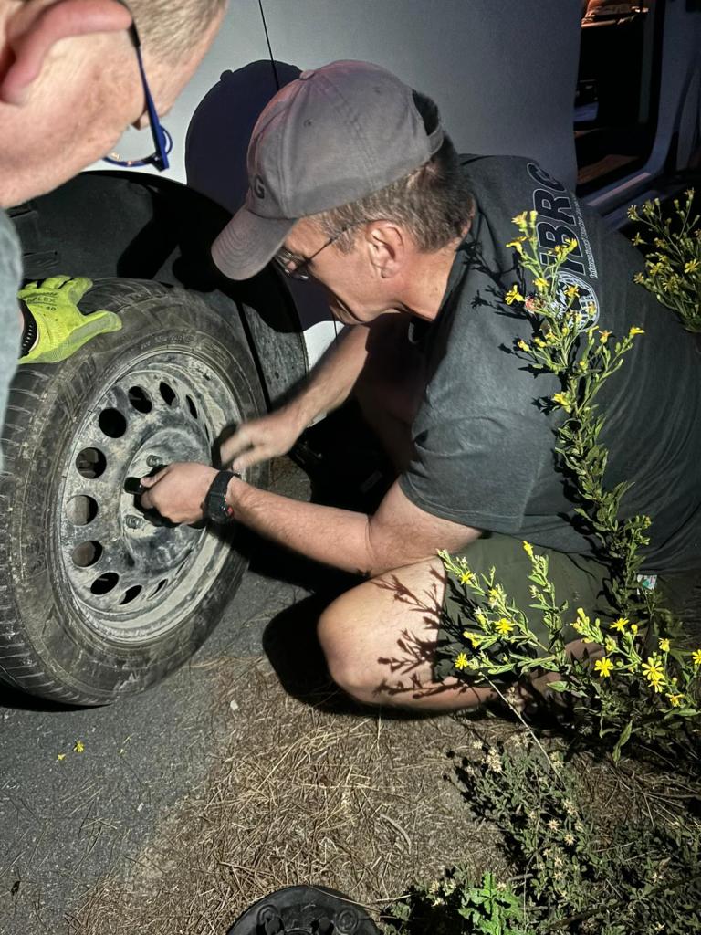


The puncture was solved quickly, it was reassuring how many cars stopped to see if we were OK. It was also the first opportunity for the IBRG Hi-Vis vest to be used in action.!
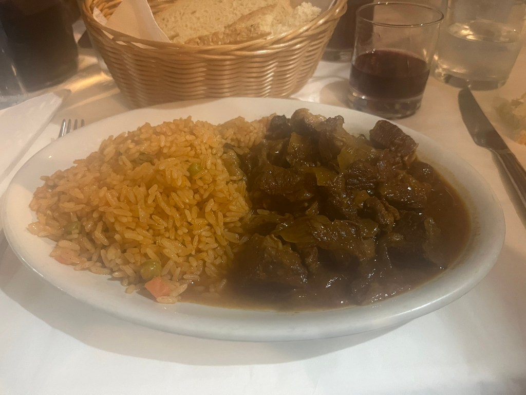
Every cloud however has a silver lining, we were now too late to make it back to Nicosia in time to have an evening meal. We therefore stopped in Kakopetria a small town in the Troodos foothills and found a wonderful taverna.


Day Three
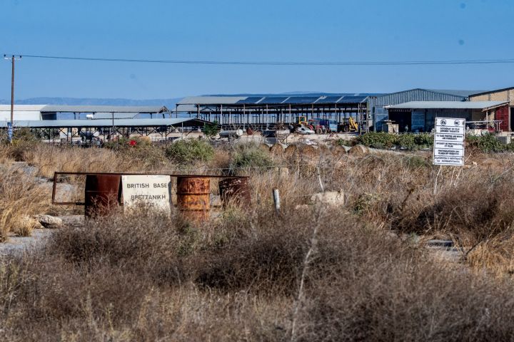
The emphasis on day 3 was to focus on the Sovereign Base Areas. The Sovereign Base Areas (SBAs) of Akrotiri and Dhekalia form a British Overseas Territory on the island of Cyprus. The UK retained sovereignty over these two coastal areas under the 1960 Treaty of Establishment. The treaty established the independent Republic of Cyprus, which contains important British military installations.
The SBAs have a population of approximately 10,000 people. They are citizens of the Republic of Cyprus but are governed by the Administration of the SBA. There are approximately 3,800 British military and UK-based civilian personnel and their dependants who work or live on the bases.
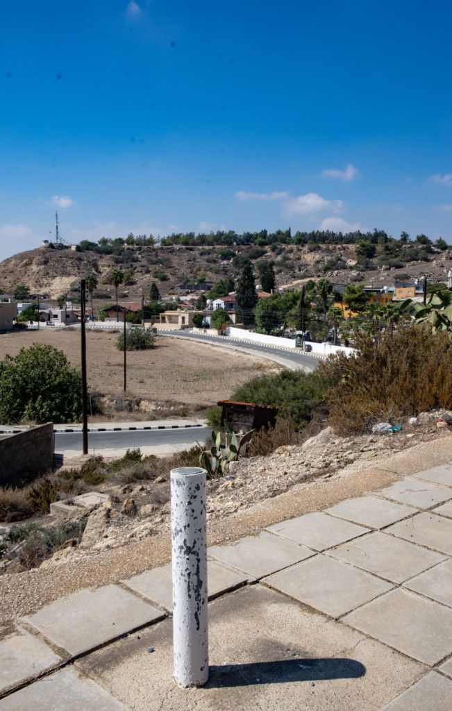
Our focus was on the way the border of these UK possessions were demarcated. All British SBA boundaries are demarcated with border markers; usually white poles of various lengths, but also other types are found. Their top plates are either military and have English or Greek markings. Some markers are numbered, although more often or not the paint has been eroded. There were originally over 700 border markers, although some have been damaged, destroyed and not replaced.
Please click on the photos below to access additional information, photos and maps of the POI’s.


The first pair of markers were rural and coastal and of different design, neither had the metal head plate. The one on the coast had suffered from considerable corrosion. As it was a Sunday the local fish restaurant was very busy and the sea inviting us to be tourists rather than border geeks.

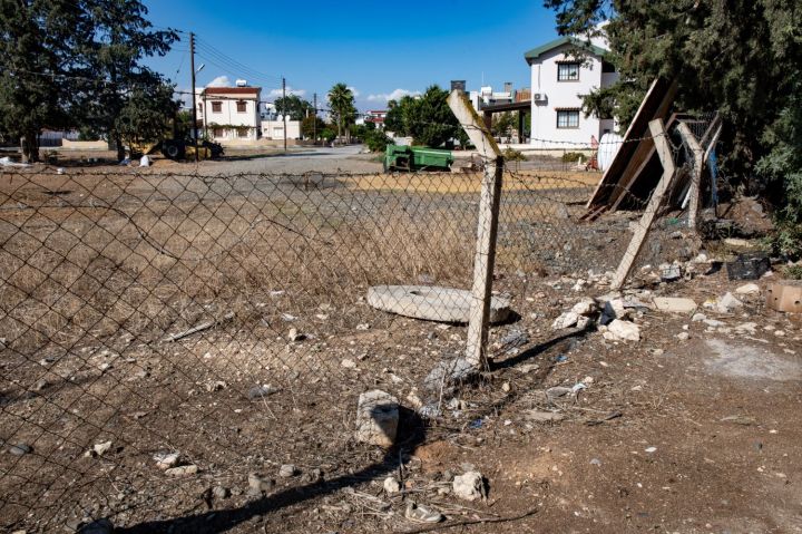
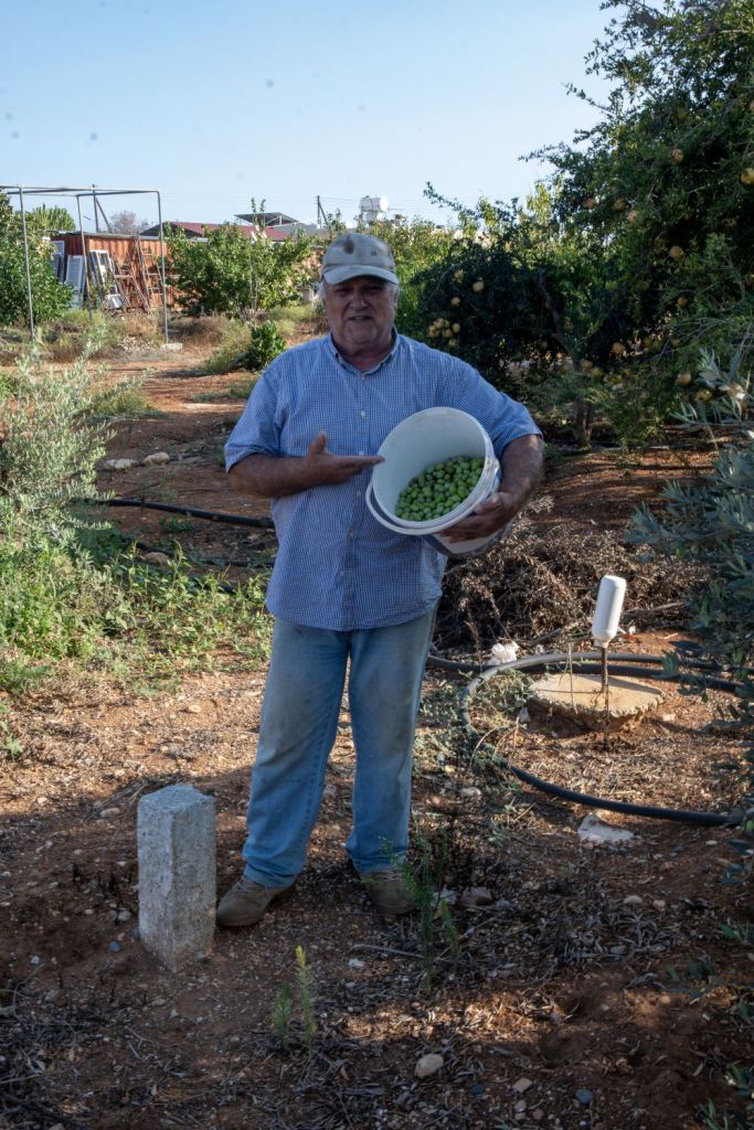
The next POI was close to Kolossi Castle, a place I had visited several times before, it was clear that the border was not marked on the ground, a ice cream kiosk was divided, as was a car park. Moving along the border we discovered divided houses and border markers in an orchard.


The last two points of interest were Asomatos and Ormideia, where the border markers were easily accessible at the side of roads. Following this we headed to Limassol to our next hotel and found a local open air restaurant to relax and reflect on the adventures of the day.


Day Four
Day Four was another fast moving day, our first visit was to Pyle, before travelling across the demarcation line to Pergamos. Two exclaves followed with our focus on finding as many SBA border markers as possible before finding a Cyprus tripoint – the first of this trip.
Pyle
Pyle/Pile is a village in Larnaca District, Cyprus. It is one of only four villages located within the United Nations Buffer Zone. The village is special in the respect that it is the only settlement in Cyprus still inhabited by both its original Greek Cypriot and Turkish Cypriot inhabitants. We explored the village, the main square with its restaurants, a divided house and many SBA markers.
Please click on the photos below to access additional information, photos and maps of the POI’s.


Pergamos
Pergamos (Turkish: Beyarmudu) is a Turkish Cypriot village in Larnaca District, Cyprus, 4 km north of Pyla, almost surrounded by the British Sovereign Base Area (SBA) at Dhekelia. It is a fascinating place with barricaded streets, checkpoints and a divided football pitch.


Exclaves and tripoints
Eastern Sovereign Base Area of Akrotiri and Dhekelia has 4 exclaves, we visited Xylotymbou and the Dhekelia Power Station. The latter was divided by a SBA road only 20m wide at its narrowest point.

Our last visit of the day was to find the point where the Republic of Cyprus, the SBA (E) and the United Nations buffer zone meets – the CYUKUNe tripoint. All that remained after that was to cross into the north and head to our hotel in Famagusta for a well deserved meal and beer.
Dhekelia military cemetery
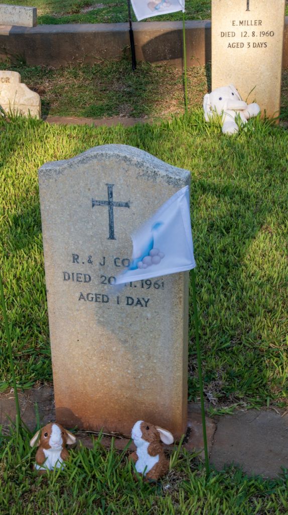
A non border POI was the Dhekelia military cemetery which is the final resting place for British and UN personnel as well as their families. What was shocking was the number of babies and children who were buried there too. These babies graves were adorned with flags and soft toys thanks to a local charity. Details here.


Day Five
In the last few days there have been several border POI’s per day. Today there were only 2 due to the distance between them. Firstly, we travelled from our hotel in Famagusta to Varosha, the abandoned and decaying area that has remained closed since 1974 and has only just partially reopened since 2017. Following this we drove north along the panhandle to the Lands End of Cyprus. Only 109km from the coast of Syria. As this was the penultimate day, an evening celebration meal in the Famagusta old town rounded off another amazing day.
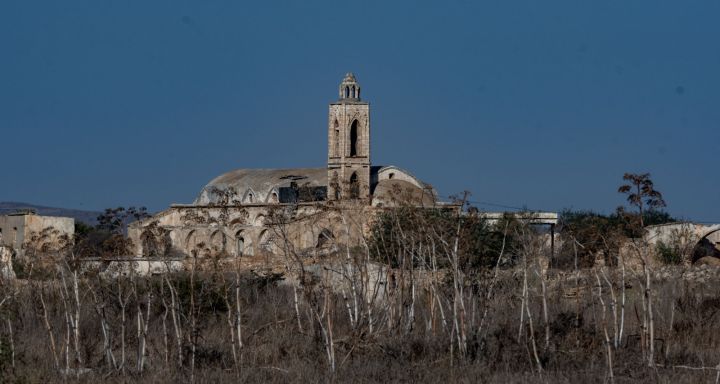
Varosha
Before 1974, Varosha was the modern tourist area of the Famagusta city. Its Greek Cypriot inhabitants fled during the Turkish invasion of Cyprus in 1974, when the city of Famagusta came under Turkish control, and it has remained abandoned ever since. The UN, EU and the Republic of Cyprus all demand the return of the area to the original owners and in effect to the south. In contrast the TRNC have begun to reopen Varosha, beginning in 2017 and culminating in 2020, parts of the area have been opened to tourists and some buildings renovated.
Please click on the photos below to access additional information, photos and maps of the POI’s.


Cape Apostolos Andreas
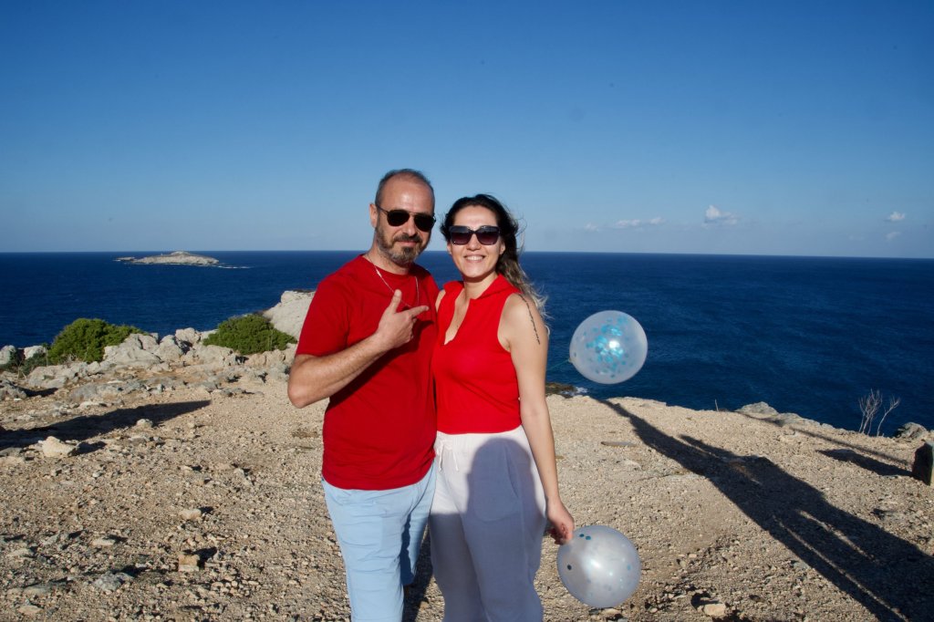
Cape Apostolos Andreas, at the tip of the peninsula, is only 109km from the coast of Syria. It is the north-easternmost point of the island of Cyprus situated at the tip of the finger-like Karpass Peninsula. It was fun to explore this extremity and see the Kleides Islands, a group of small rocky uninhabited islands right at the top. We also gate crashed a birthday party.


The Final Evening
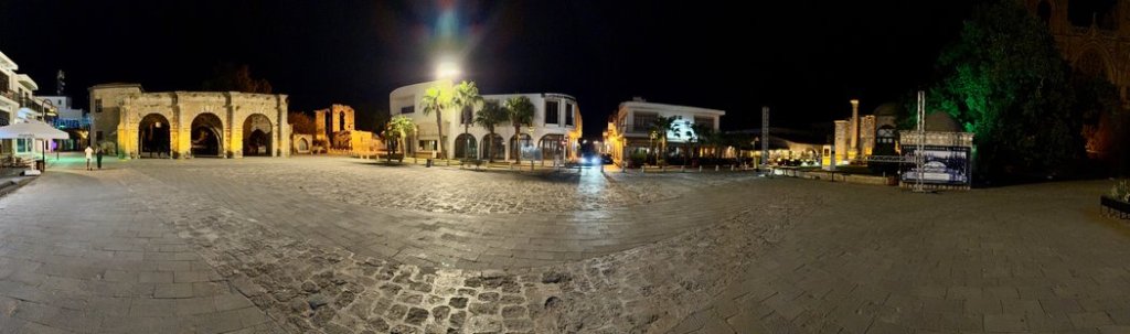
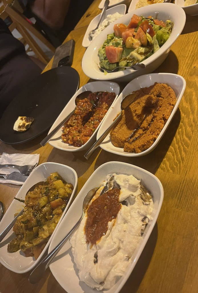
We explored the old town of Famagusta, and had an amazing final meal with lots of discussion and reflection on the last few days. What an amazing trip with lots of highlights. Border trips are not without challenges but we managed to see most of the things on our list.


Day Six
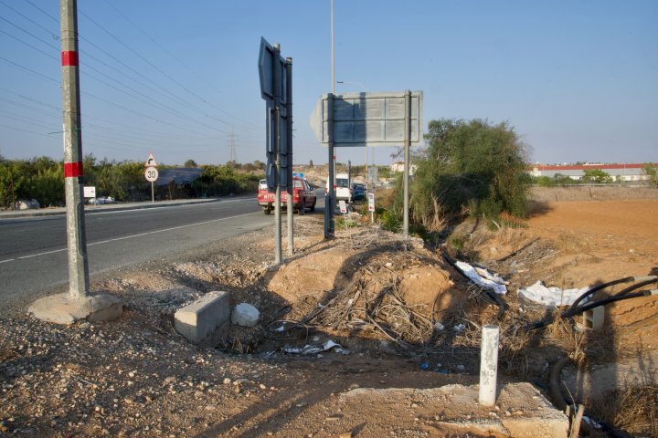
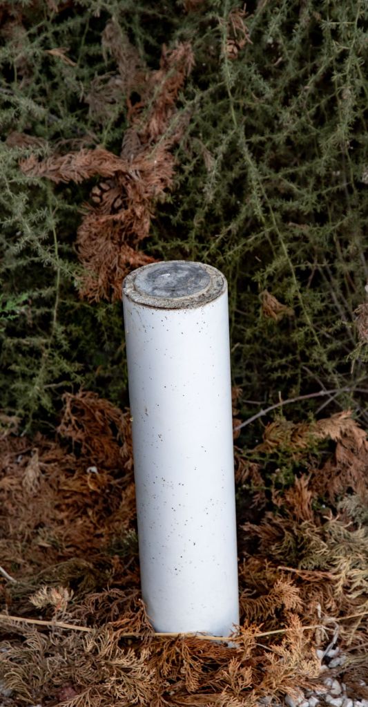
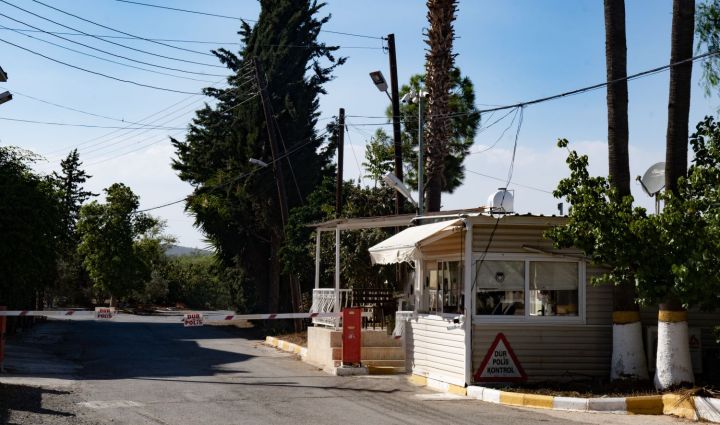
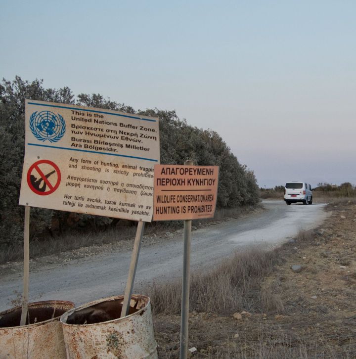
The last day. All that remained was to travel from Famagusta in the north to Larnaca Airport in the south. As normal participants travelled back at different times, and with the exception of the UK participant were travelling via some expected places including Belgrade and Gdansk. Luckily for us border geeks the route to the Airport included a border checkpoint – this time between the TRNC and the UK (SBA(E)) a long access road with OP’s and the borders with the RoC and TRNC a mere 50m from the roads edge. We were also able to see Duzce, an abandoned village which we saw on the route in. Finally we bagged our second tripoint of the trip CYUKUNw, marked by a white UN barrel.
Please click on the photos below to access additional information, photos and maps of the POI’s.
The crossing point
Our last interaction with border officials.


The SBA access road
If we had more time, this is a road to travel along several times.

Düzce
Düzce is an abandoned village under the de facto control of the Turkish Republic of Northern Cyprus. Its displaced inhabitants built a new village Dasaki Achnas, near the old location, within the confines of the Dhekelia Sovereign Base Area.
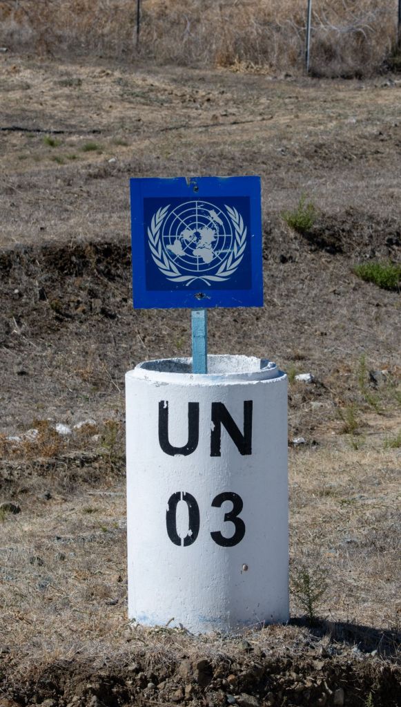
CYUKUNw
The point where the Republic of Cyprus, the UK through the eastern SBA and the UN buffer Zone meet.

Other IBRG Members Reports
- Piet van der Giessen (NL) an IBRG member and author of the Grenspalen.one website. His report is here

Dates of Visit: 29 September to 02 October 2024
