
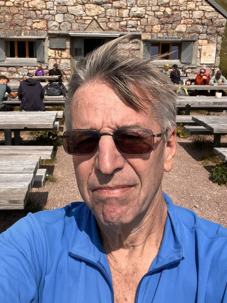
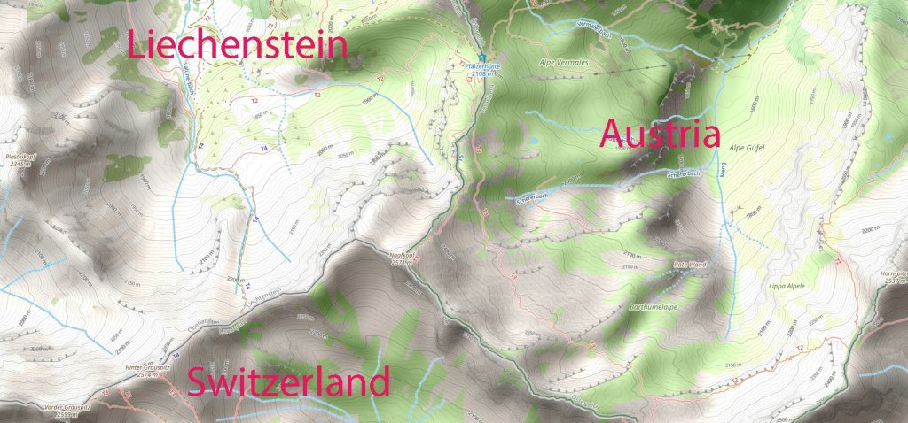
Naafkopf is a mountain peak located in the Rätikon range of the Alps, marking the tripoint where Austria, Liechtenstein, and Switzerland converge. With an elevation of 2,570 metres, it stands as a geographical and cultural landmark, offering trekkers a chance to explore one of the most unique alpine settings in Europe. The peak’s significance is further amplified by its dramatic landscape and its role as a historic border point. We visited this point as part of the IBRG LIVCO-25 expedition. This is Tripoint #34 for me. My other European tripoint visits are reported here. My visit to the northern Liechtenstein tripoint ATCHLIn is reported here
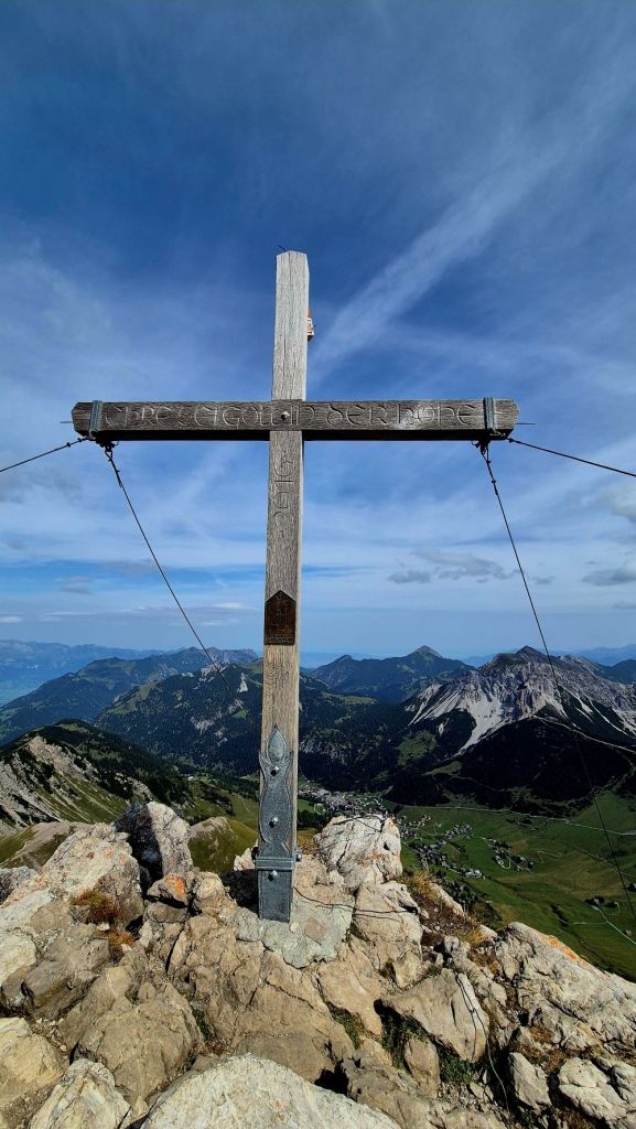
Naafkopf’s prominence lies in its geographical and natural features. The peak is surrounded by steep cliffs, open alpine meadows, and three distinct ridges delineating international borders. The northeastern ridge marks Austria and Liechtenstein, the southeastern separates Austria and Switzerland, and the northwestern ridge defines Liechtenstein and Switzerland. Trekkers can spot the summit’s wooden cross supported by a brick base, symbolising the meeting point of the three nations. Nearby, the Pfälzerhütte (2108m) serves as a historic base for mountaineers and trekkers alike.
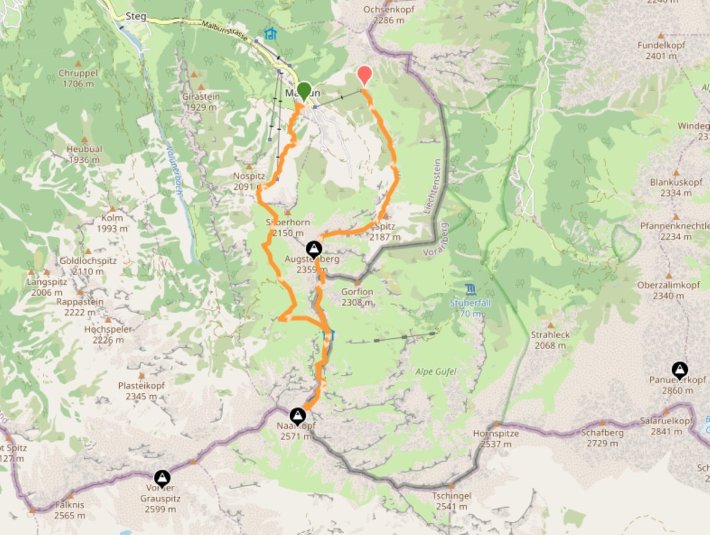
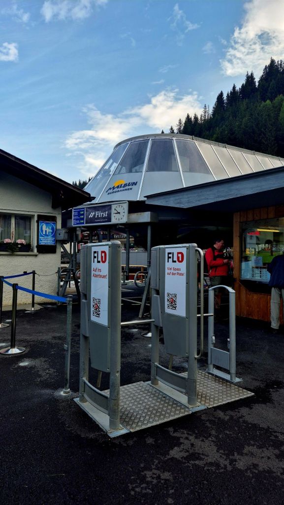
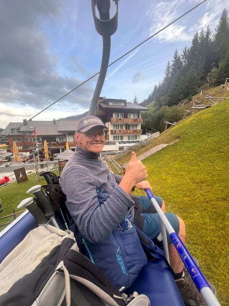
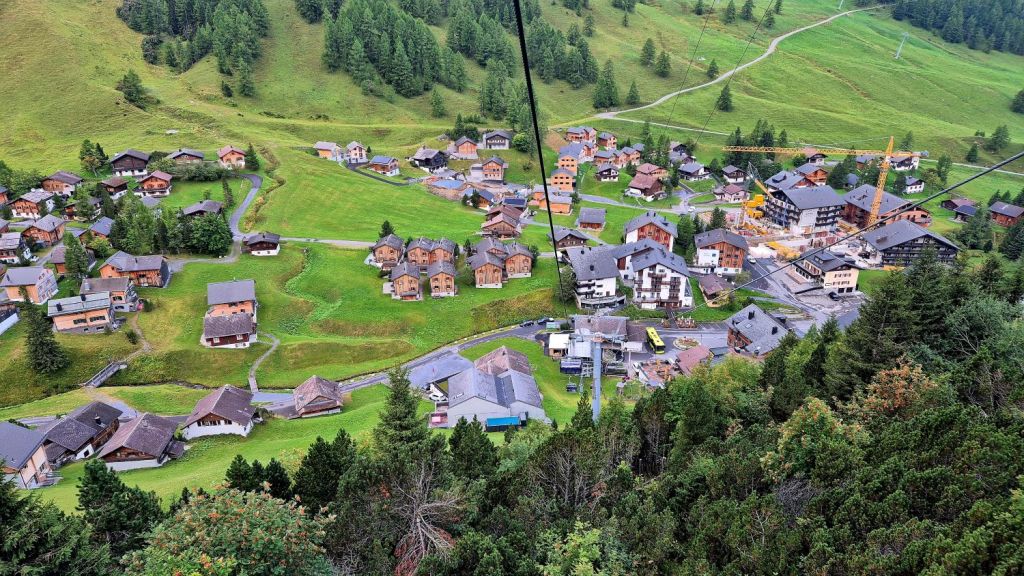
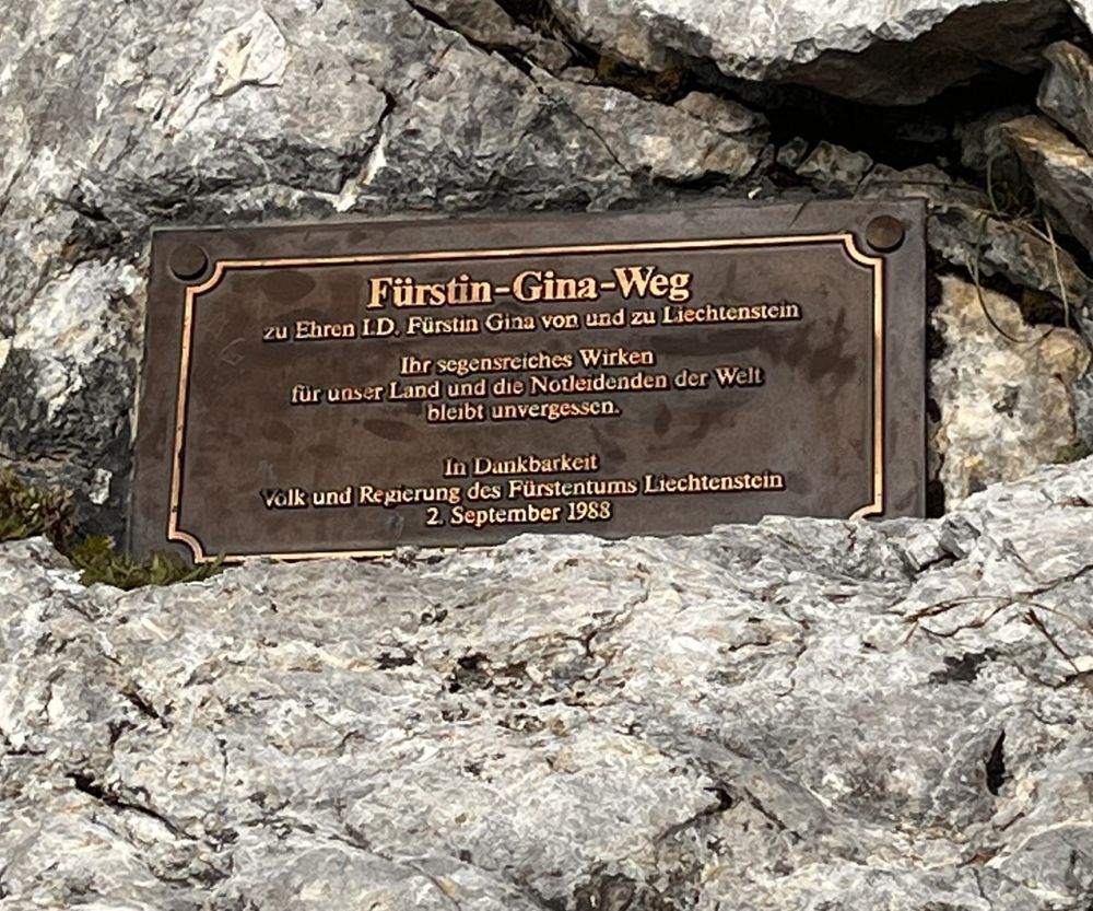
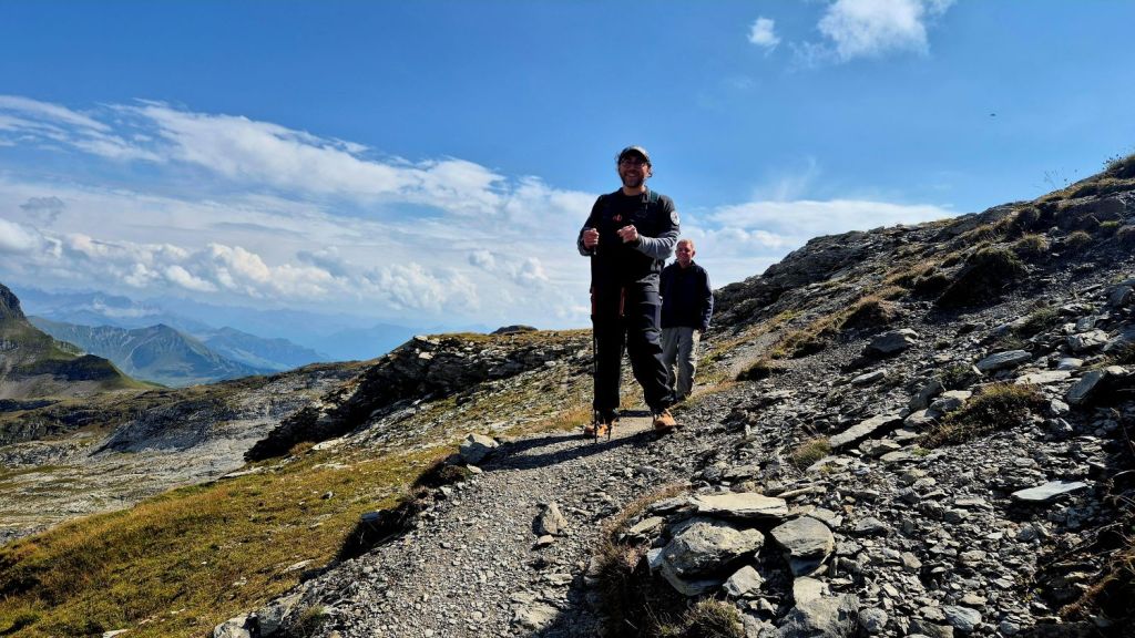
There are lots of options to approach ATCHLIs. We chose a variation of the Fürstin-Gina-Weg. The Sareis chairlift Malbun (1600m) takes walkers quickly up to top station (200m) and access to the Sareiserjoch ridge.
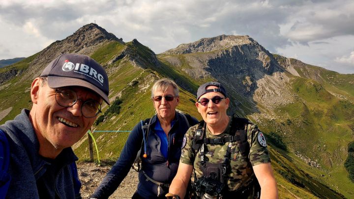
Once on the ridge, it is a beautiful hike in wonderful alpine scenery initially to Spitz (2187m), then Augustenberg (2359m) and on the the Pfälzerhütte (2108m).
Some of our group chose to return to Malbun (11.9 km in total) from the Pfälzerhütte. Whilst 5 of us headed south to the tripoint (an additional 4km round trip with 462m ascent/decent).
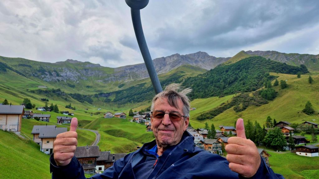
The Chair Lift
Using the chair lift saves 200m of ascent and with a long hike ahead of us was the easier option.
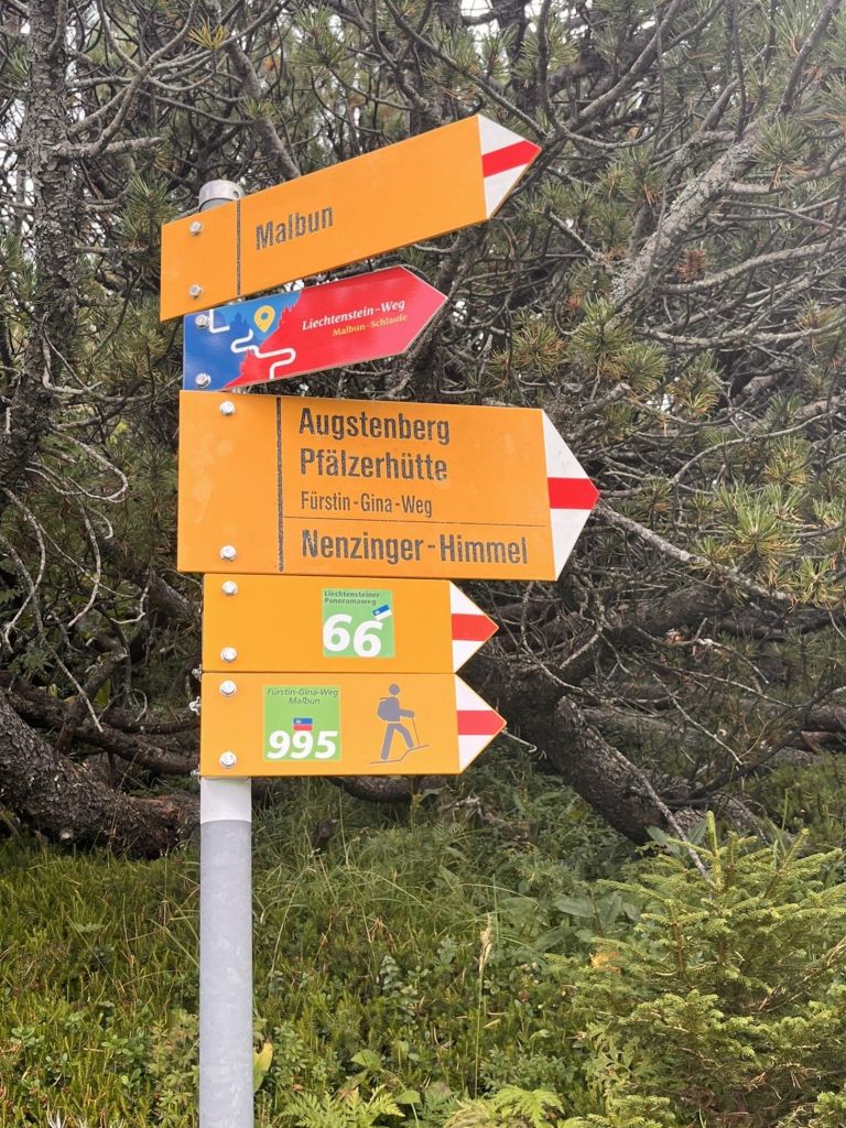
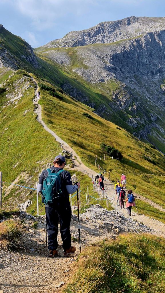
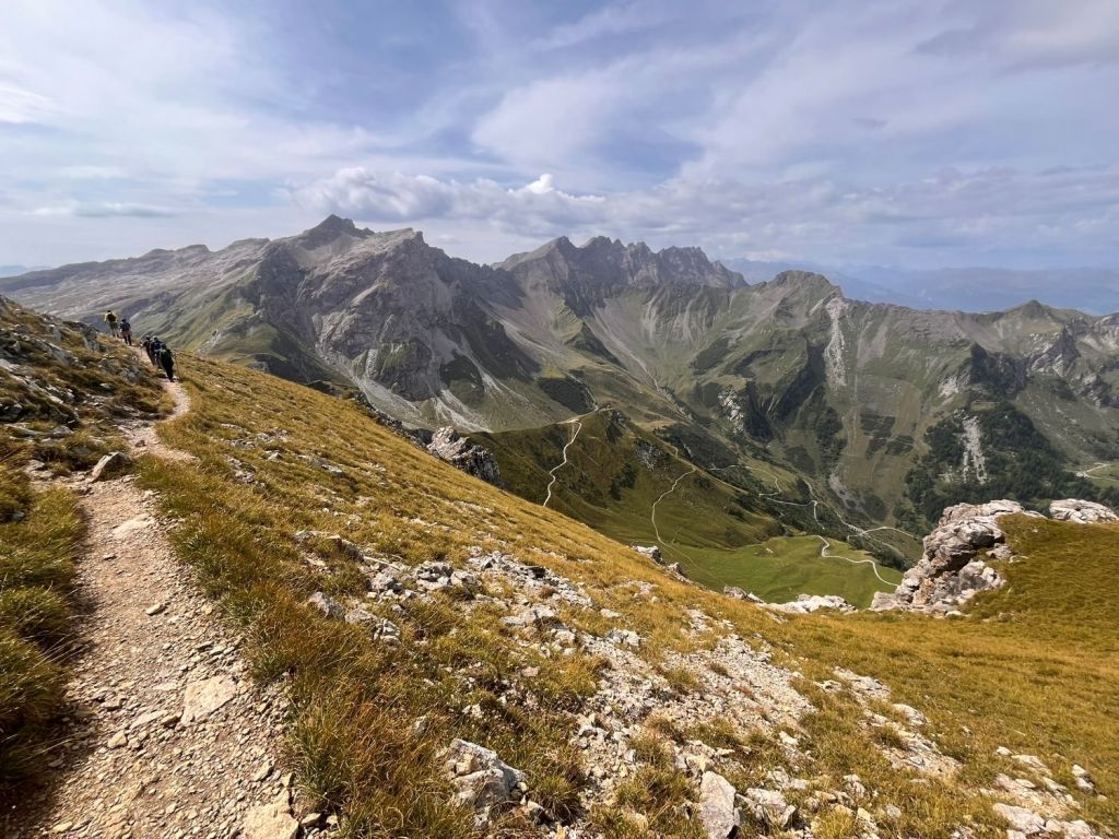
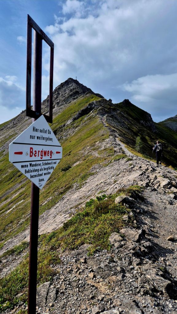
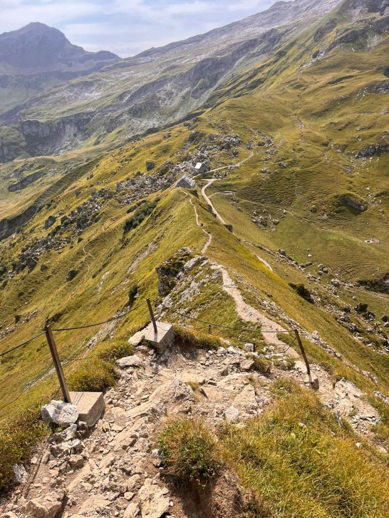
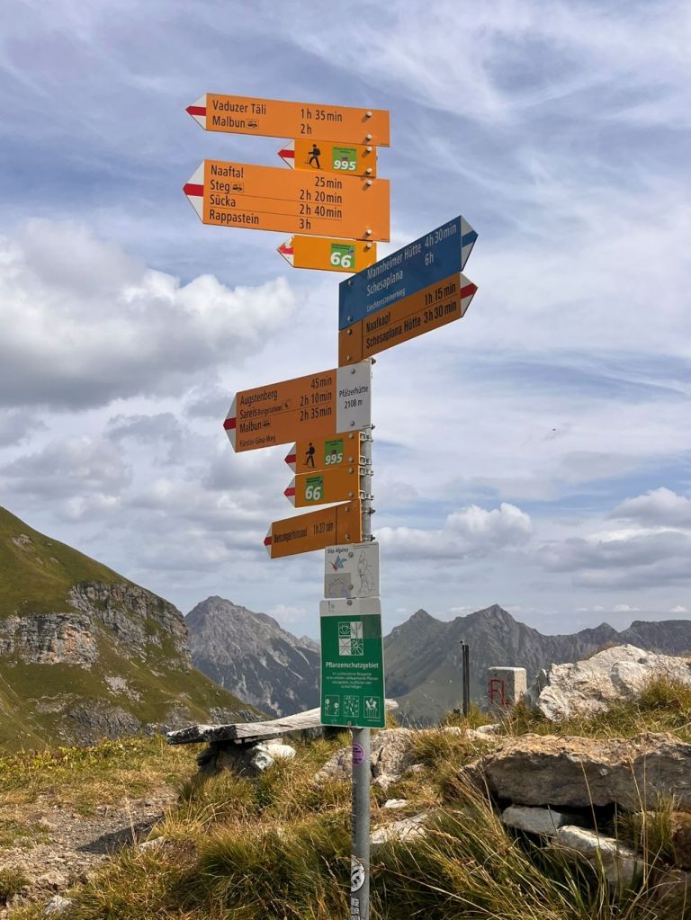
Sareiserjoch to Pfälzerhütte
The hiking trail from Sareiserjoch to the Pfälzerhütte (part of the Fürstin-Gina-Weg) involves significant elevation changes, featuring a challenging ascent to the Augstenberg ridge followed by a steep descent. The route climbs from the saddle (Sareiserjoch) up to the Augstenberg summit at 2,359 meters. From the Augstenberg summit, the path drops sharply down to the Pfälzerhütte, a descent of approximately 250 meters. A narrow, exposed, and steep trail with scree and rocky sections. Rated as T3 (demanding/mountain hiking).
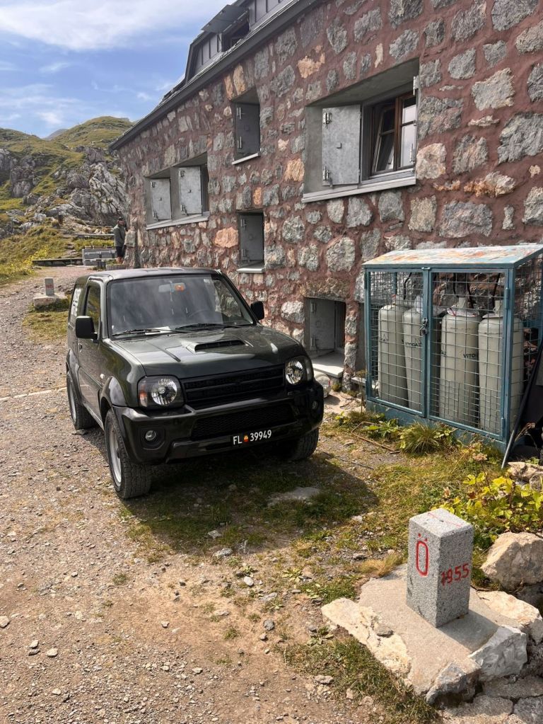
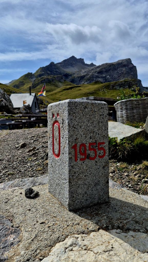
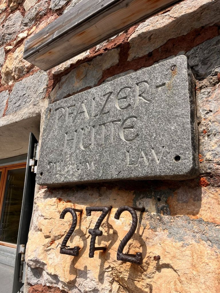
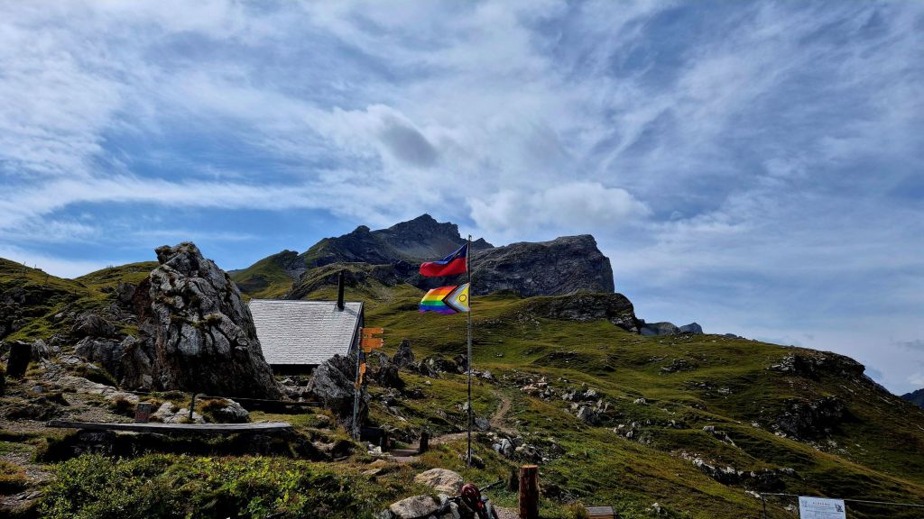
Pfälzerhütte
The Pfälzerhütte is a high-alpine mountain hut of the Liechtenstein Alpine Club (LAV), situated at 2,108 metres above sea level on the Bettlerjoch in Liechtenstein. It sits directly on the border with Austria and serves as a key base for hikers on the Liechtenstein Trail and the Via Alpina. For us it was a welcome sight, and was the place where some of us choose not to continue onto the tripoint.

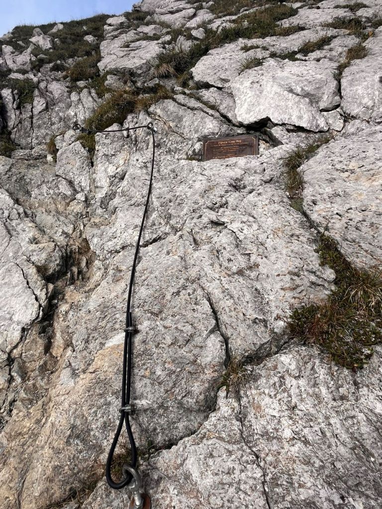
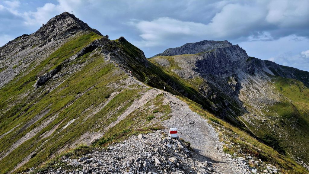
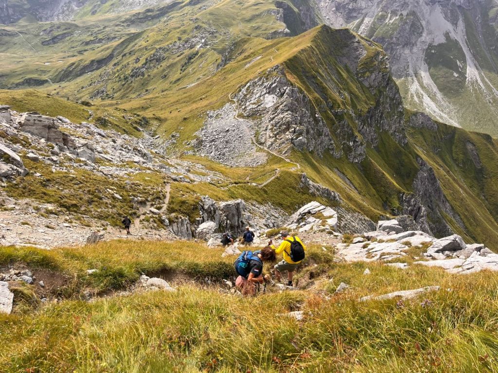
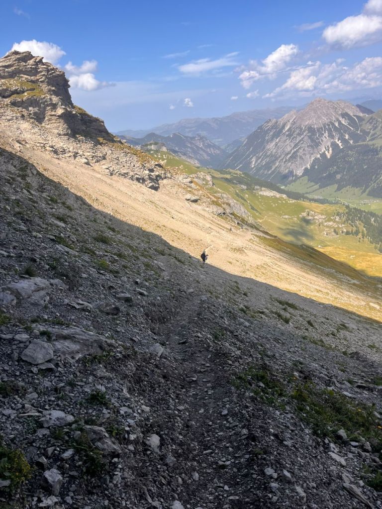
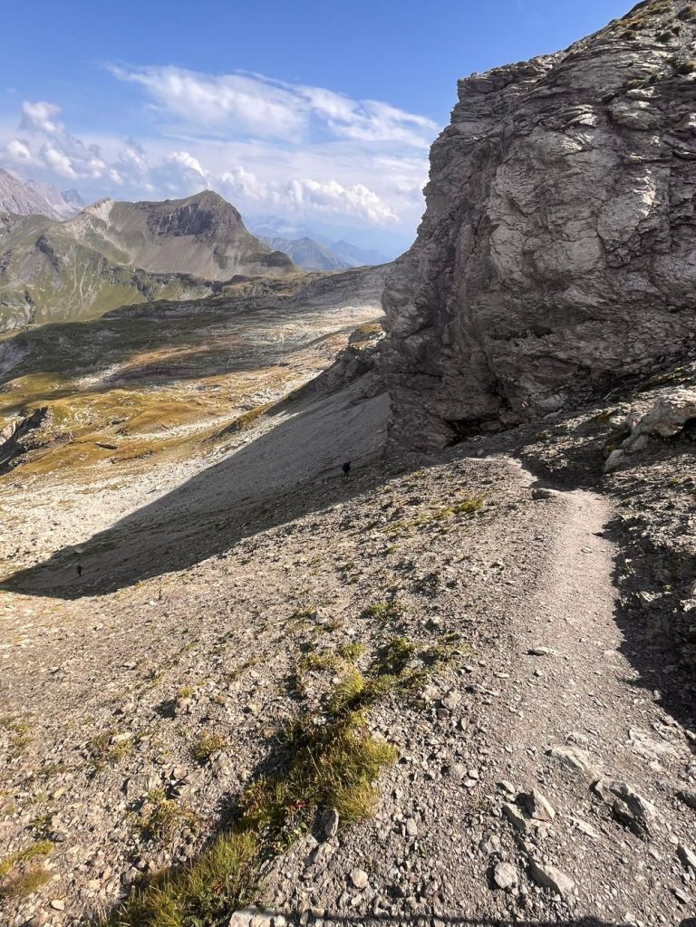
Pfälzerhütte to Naafkopf
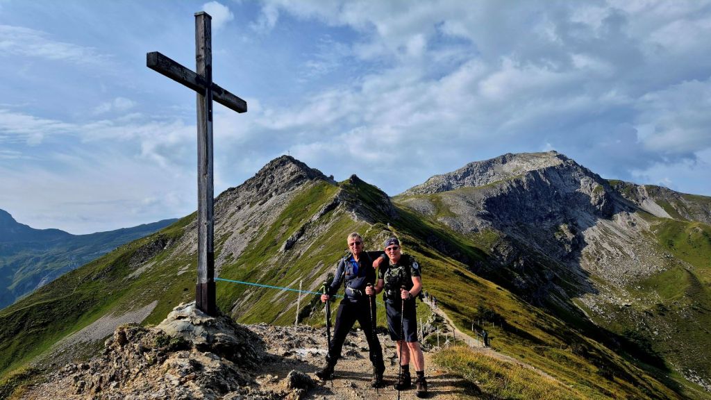
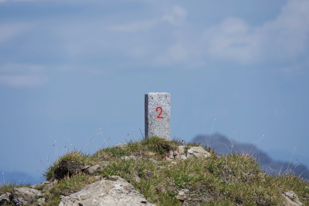
The ascent involves an elevation gain of just over 400 meters. However, the trail is very well maintained and easy to manage though it involves some rocky sections and zig zag paths across scree near the summit. The trail is considered a moderate (T2) mountain hike. Assume 2 hours 20 minutes to ascend and 2 hours to descend. As border enthusiasts we spent an hour on the top and took time exploring the border markers en route.
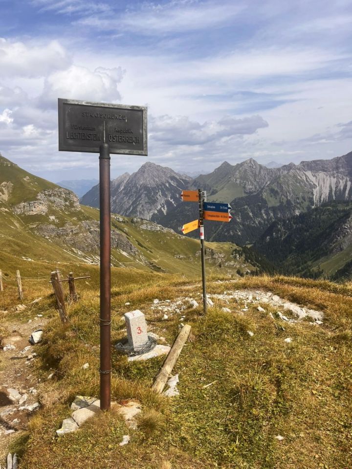

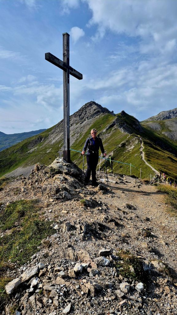
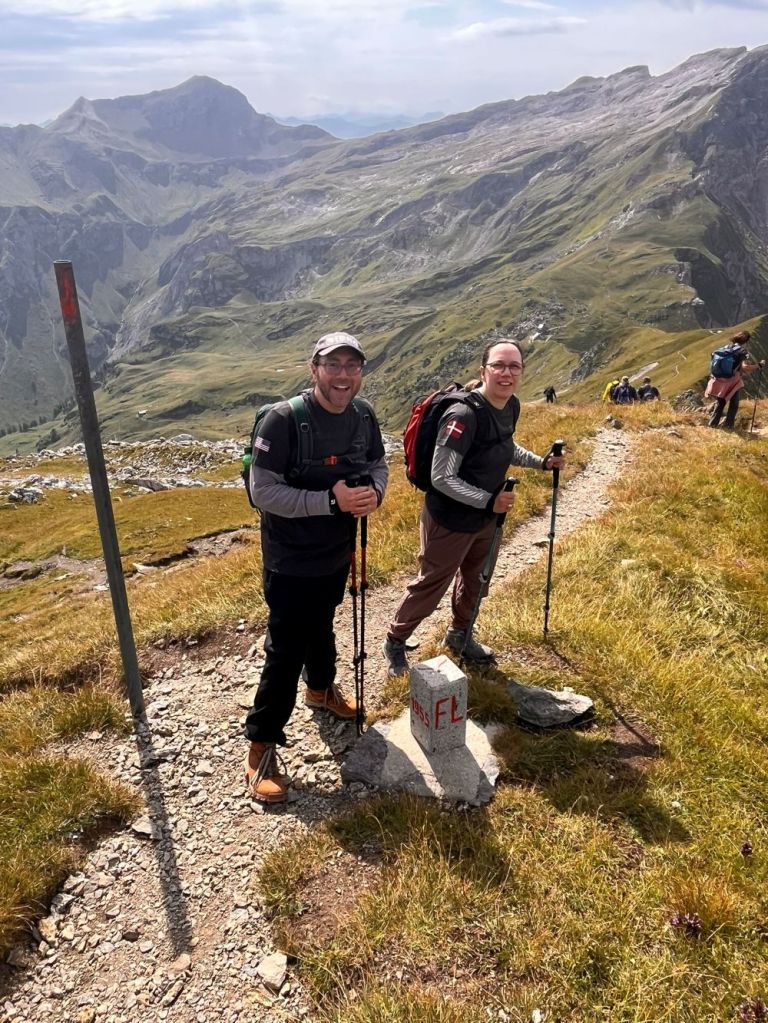
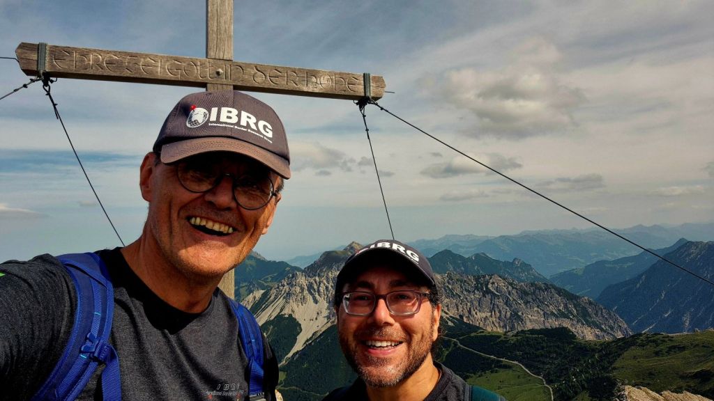
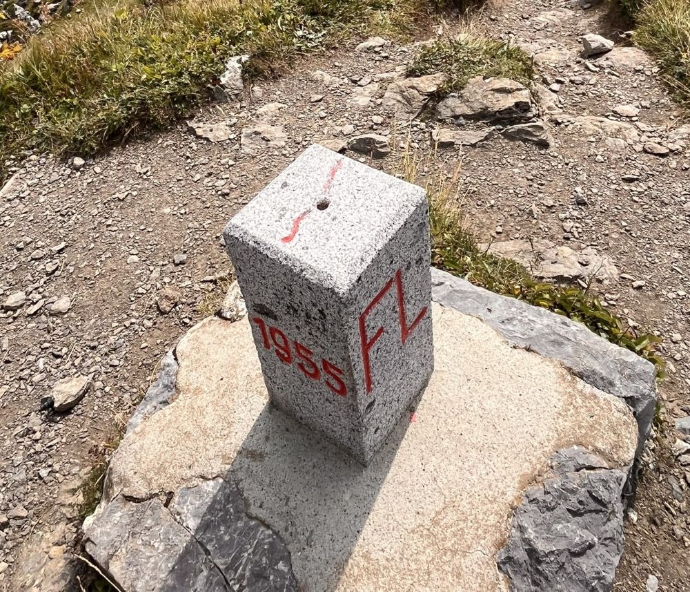
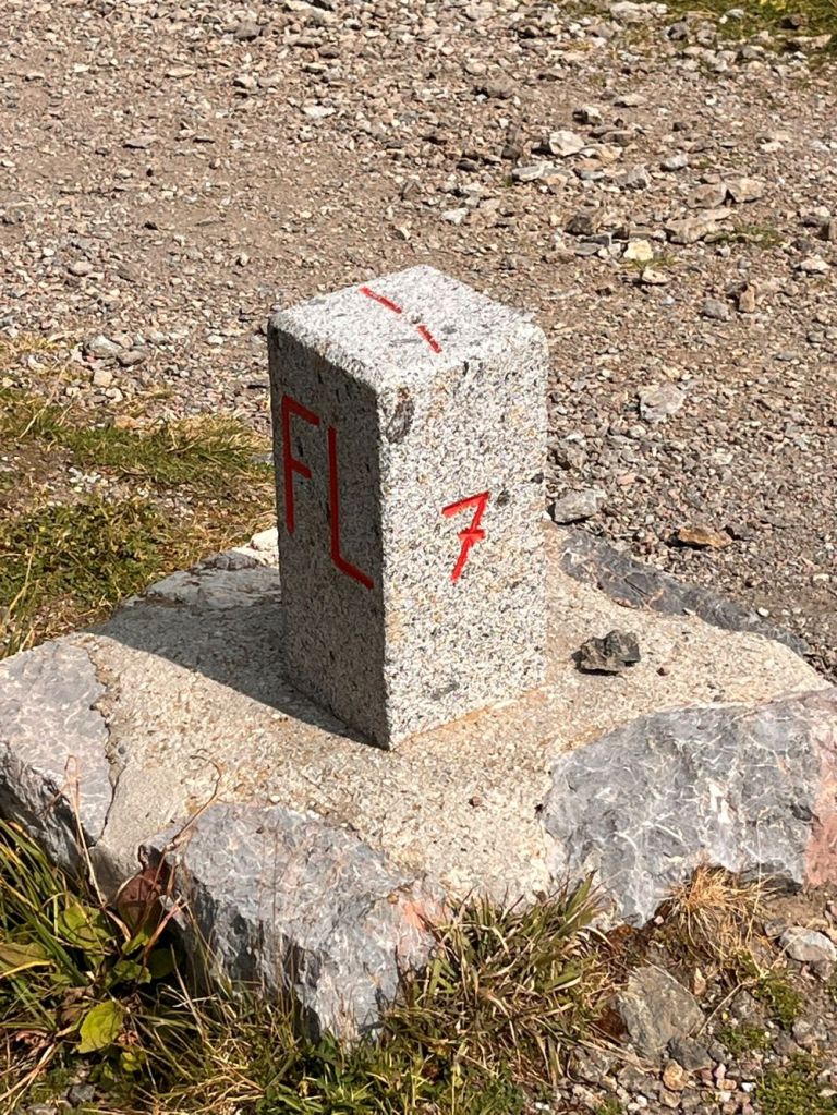
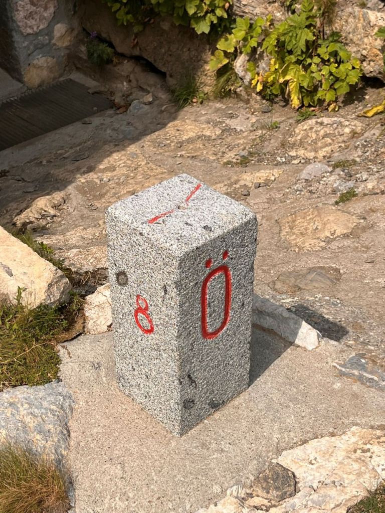
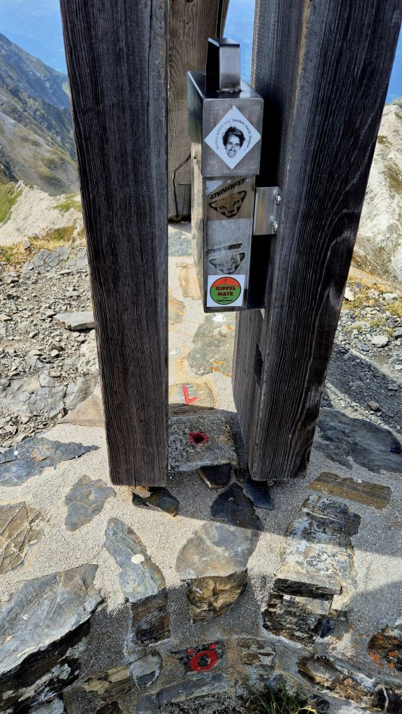
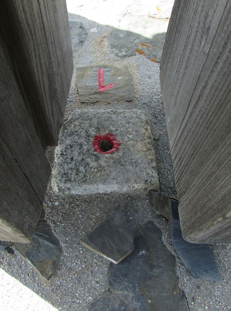
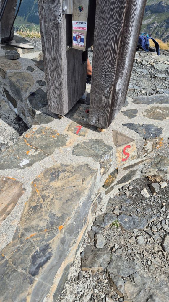
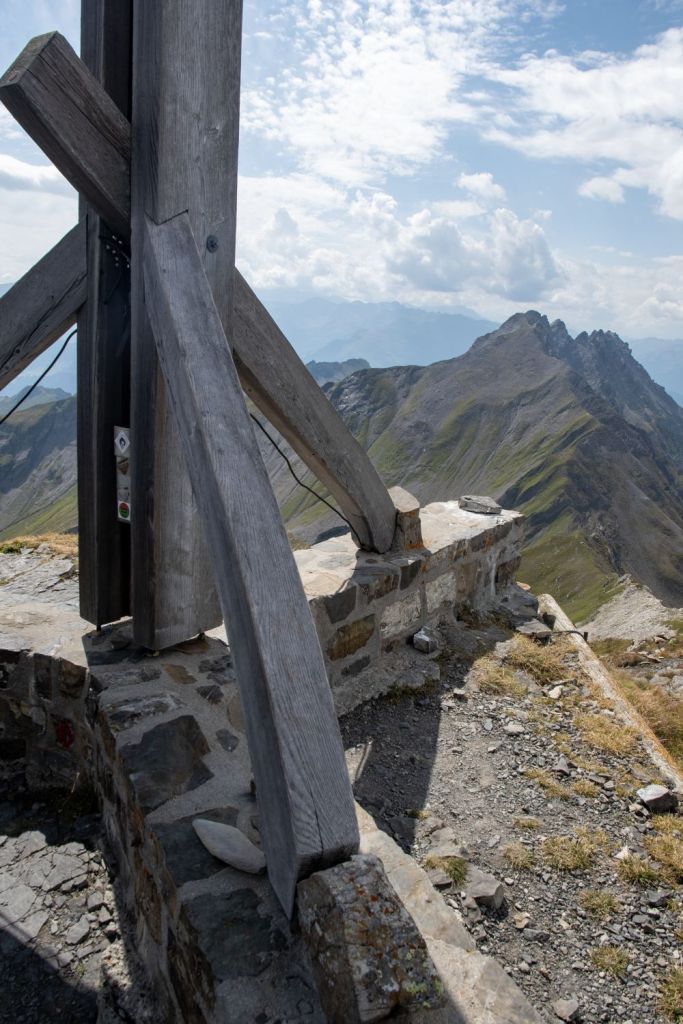
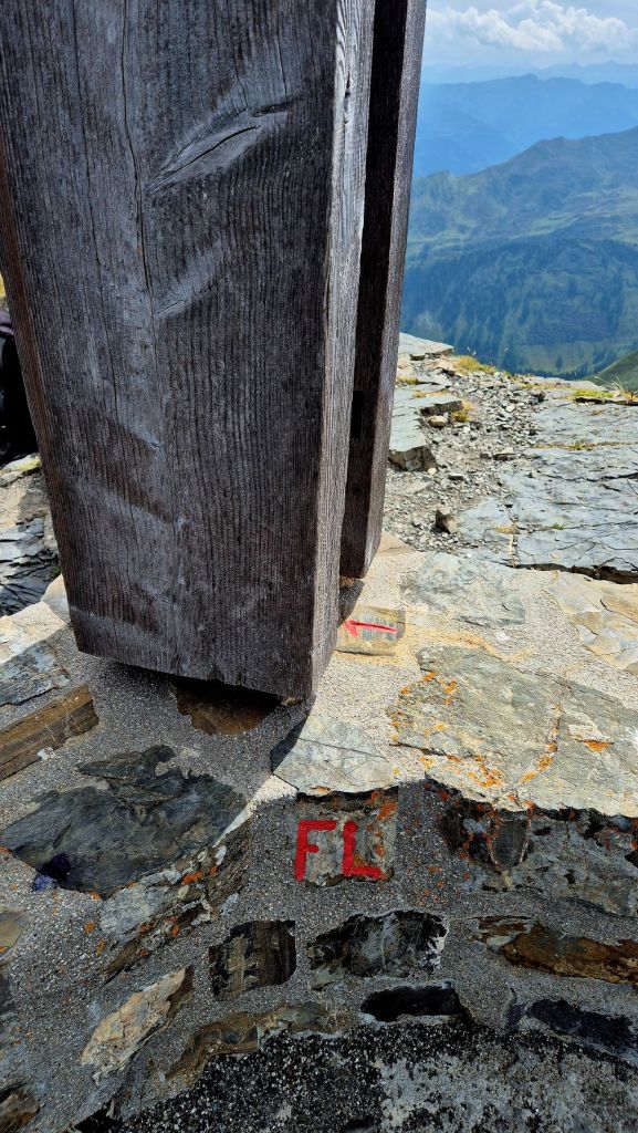
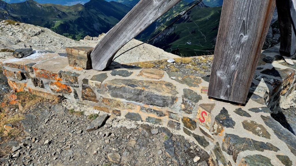
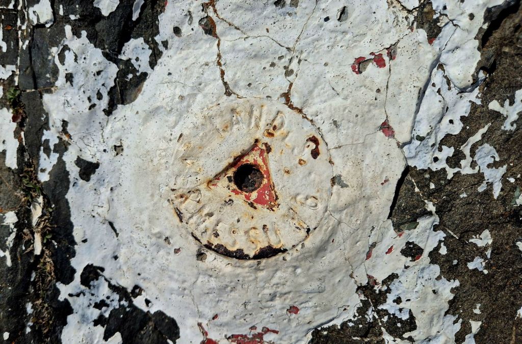
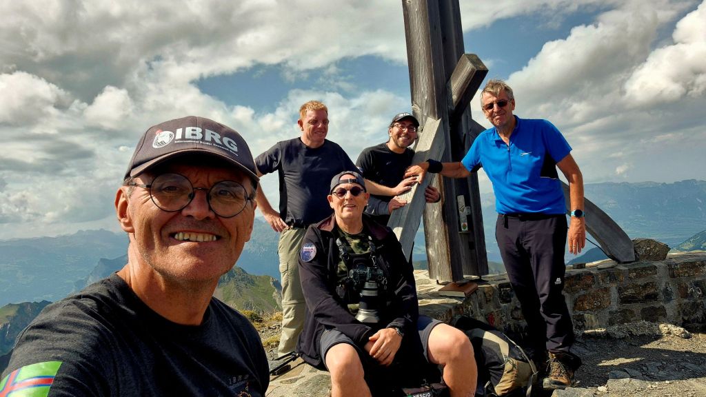
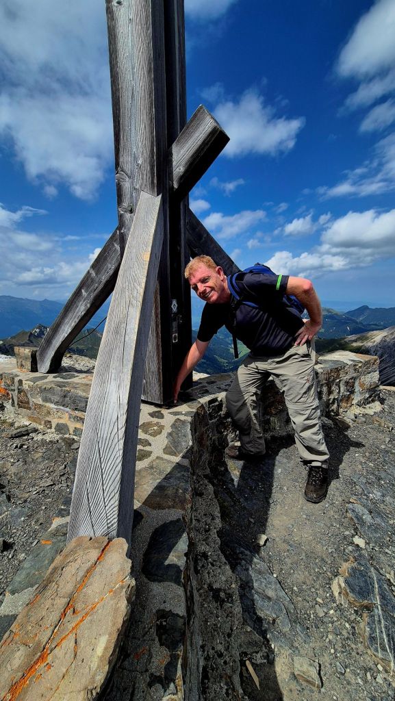
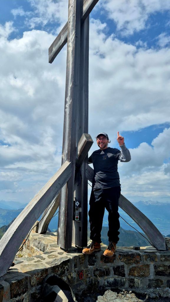
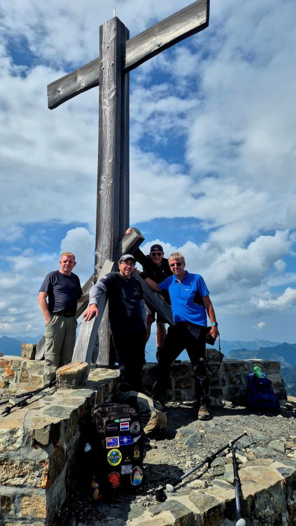
The Tripoint
A long established tripoint dating back to 1434. The tripoint is located on the summit of the Naafkopf, a mountain in the Rätikon Alps. The tripoint is marked by a large wooden cross on a brick base that extends in three directions. Naafkopf is the third highest peak in Liechtenstein. Most people approach on the northeastern ridge which marks the Austrian-Liechtenstein border via the Pfälzerhütte, one of the two refuges operated by the Liechtenstein Alpine club.
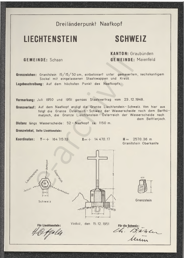
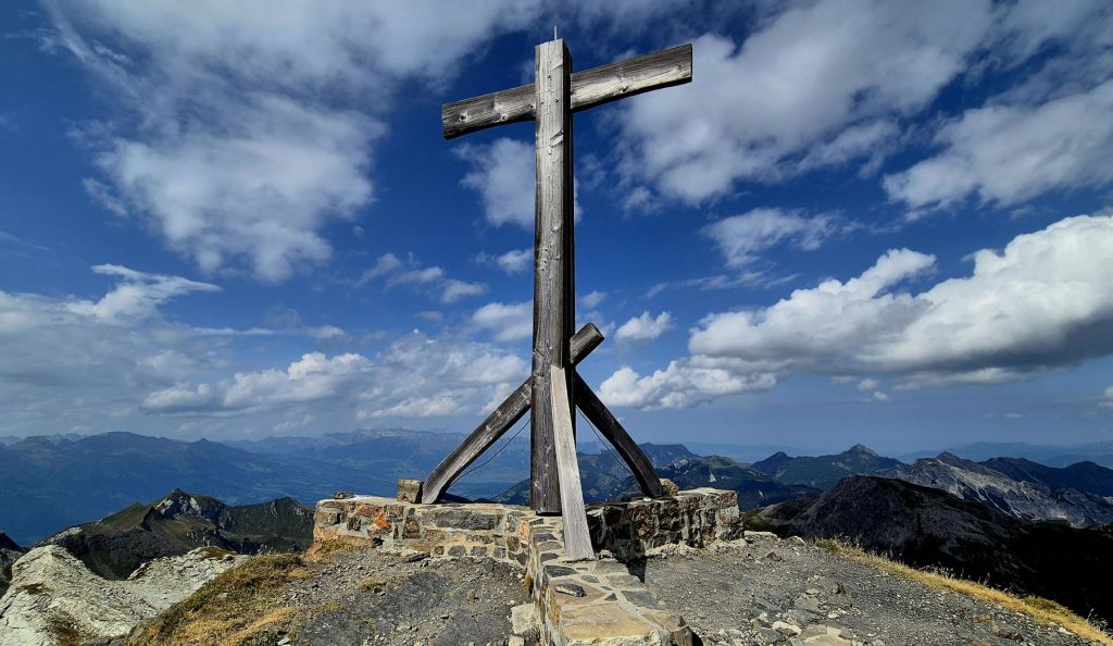
The cross is located exactly on top of the tripoint with a triangular base and each country being marked on the top of their respective triangle.

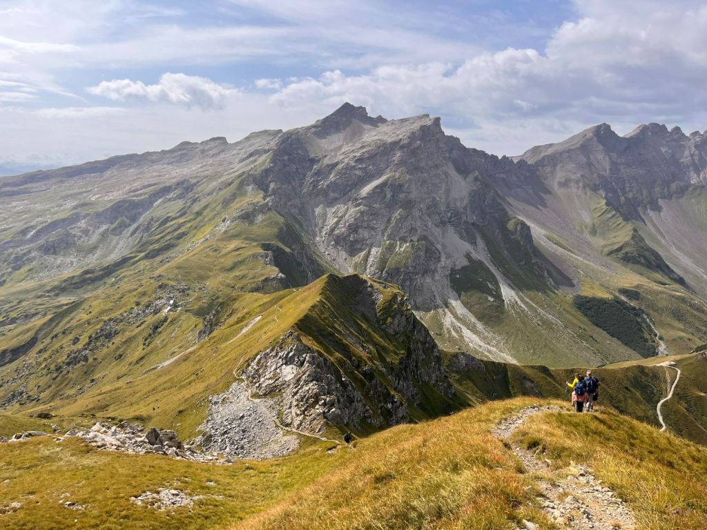
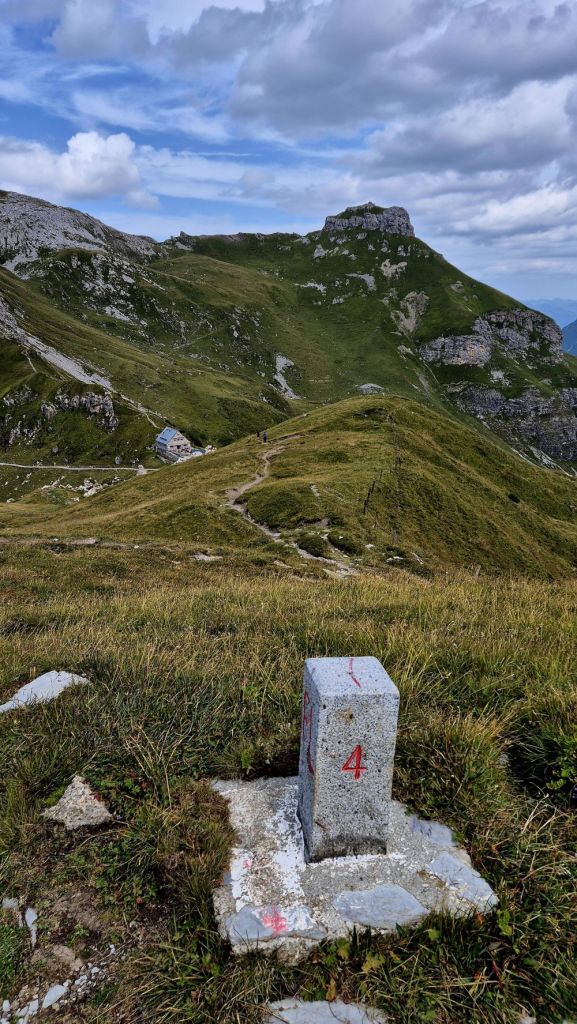
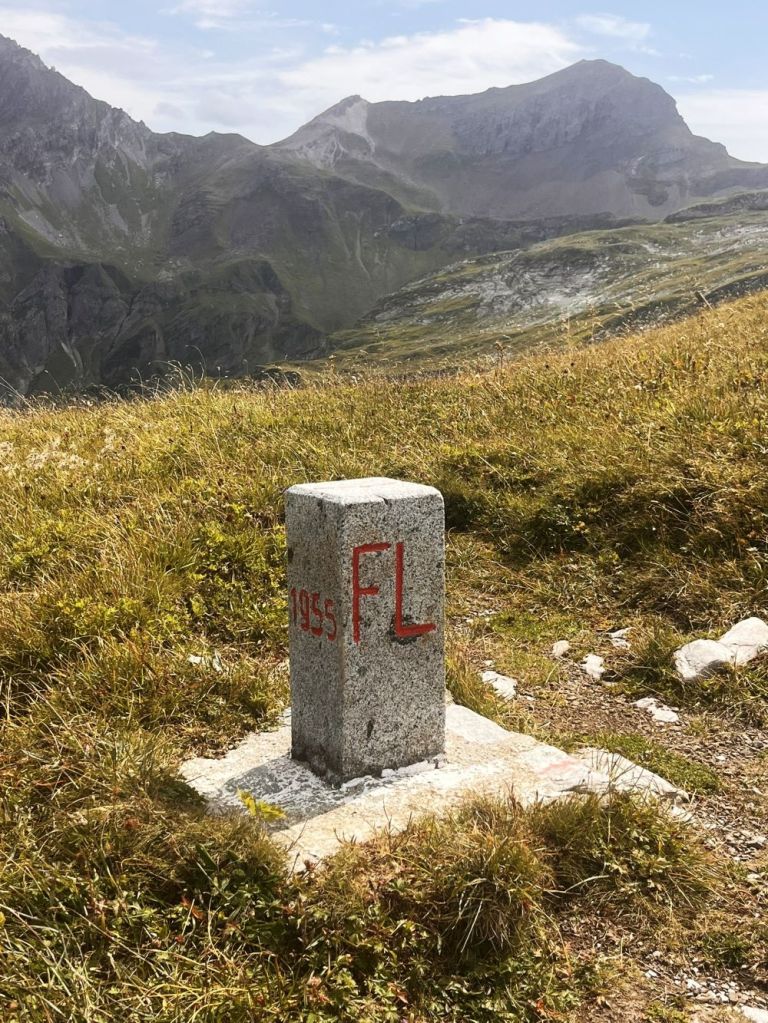
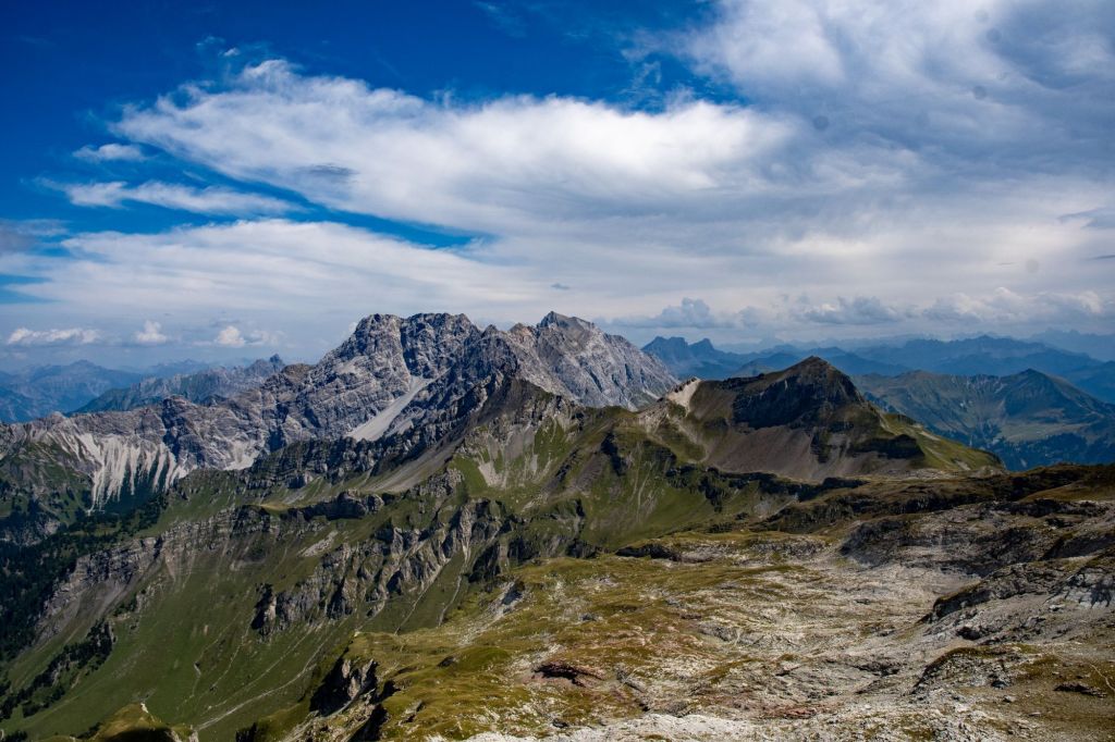
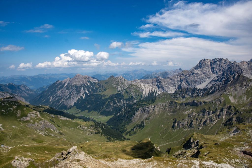
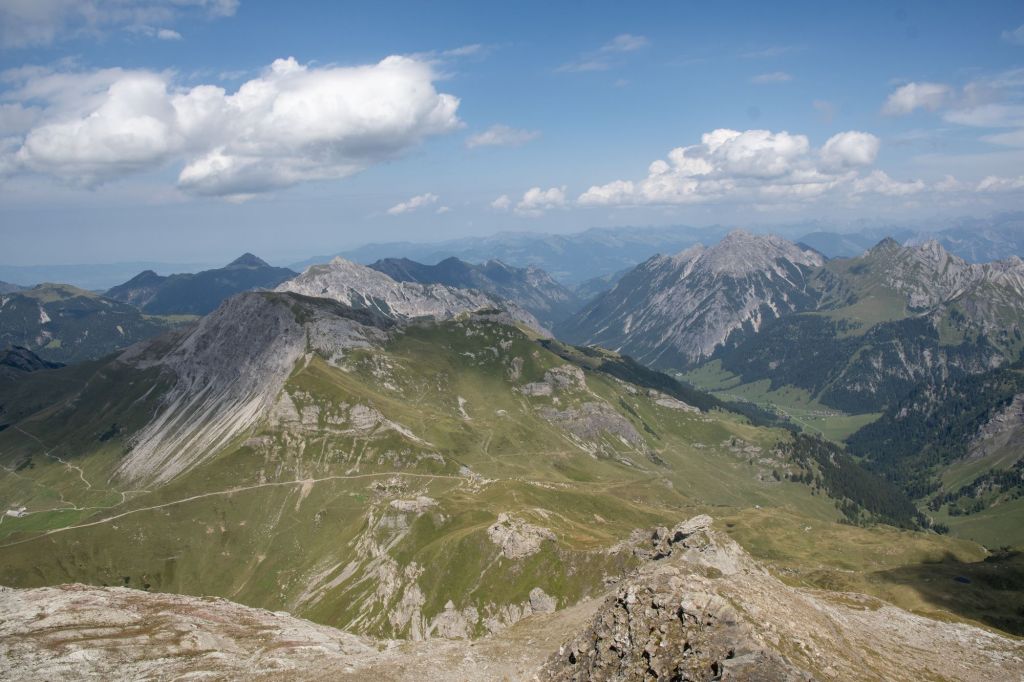
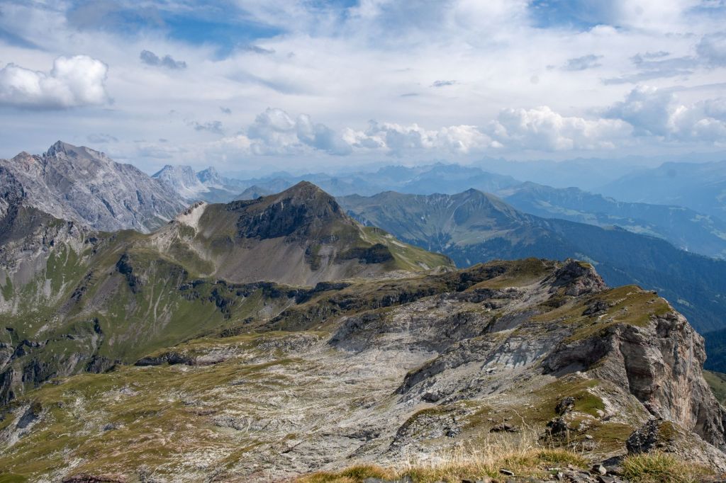
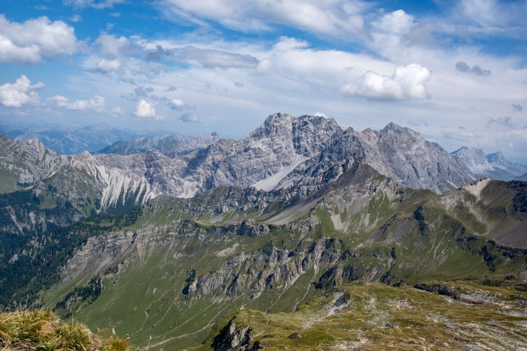
Views from the Tripoint
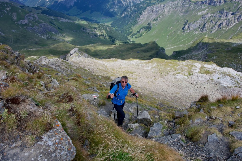
On the way down…
All that remained was the 2 km down to the Pfälzerhütte and a further 5km to return to Malbun and our hotel, with some further ascents. It was a long and tough day. An overnight in the Pfälzerhütte would have been a great idea.
Videos


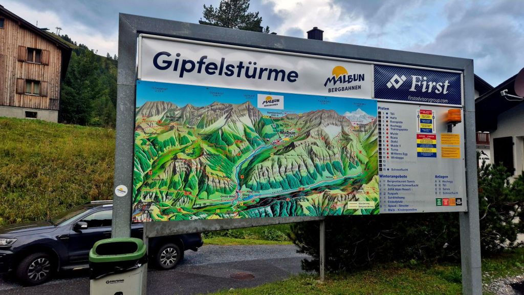
Click on the images above to access further information, maps and photos.

Date of Visit: 27 August 2025
