
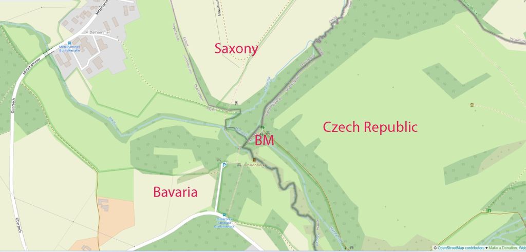
The historical German tripoint is where Bavaria, Saxony, and Bohemia met (now Czechia) is near Eichigt (Saxony), Regnitzlosau (Bavaria), and Hranice (Bohemia/Czechia), a significant spot marking the Iron Curtain’s border with Czechoslovakia and historically connecting German states to the Austrian/Habsburg lands. Later, this point became the historical tripoint between Czechoslovakia, East Germany (GDR), and West Germany (FRG) and was a key point on the “Iron Curtain,” marking the intersection where southern end of the heavily fortified Inner German Border met the equally strict Czech-West German border.
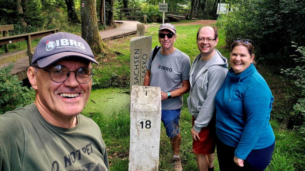
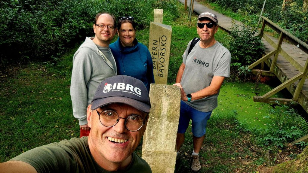
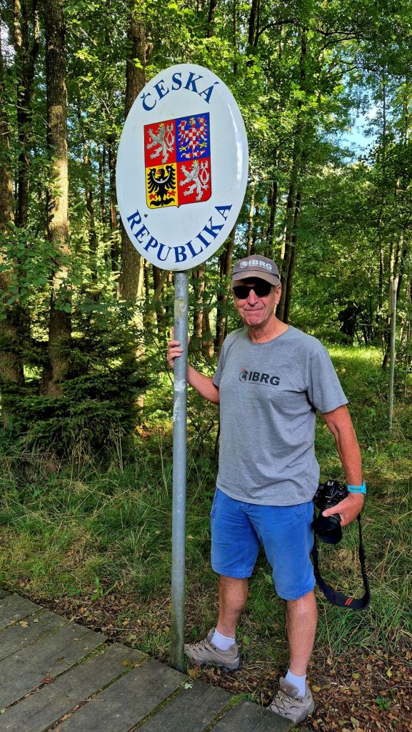
The Southern Regnitz (Rokytnice) and its tributary Lesní potok form a natural border. Numerous border stones are erected along the Regnitz, including some from the last border demarcation in 1844. These are designated historical monuments . Today the area is marked with information boards, border markers and national signs. It is easy to move between the Czech Republic and Germany. We visited this point as part of the IBRG LIVCO-25 expedition. This is Tripoint #31 for me. Other European tripoint visits are reported here
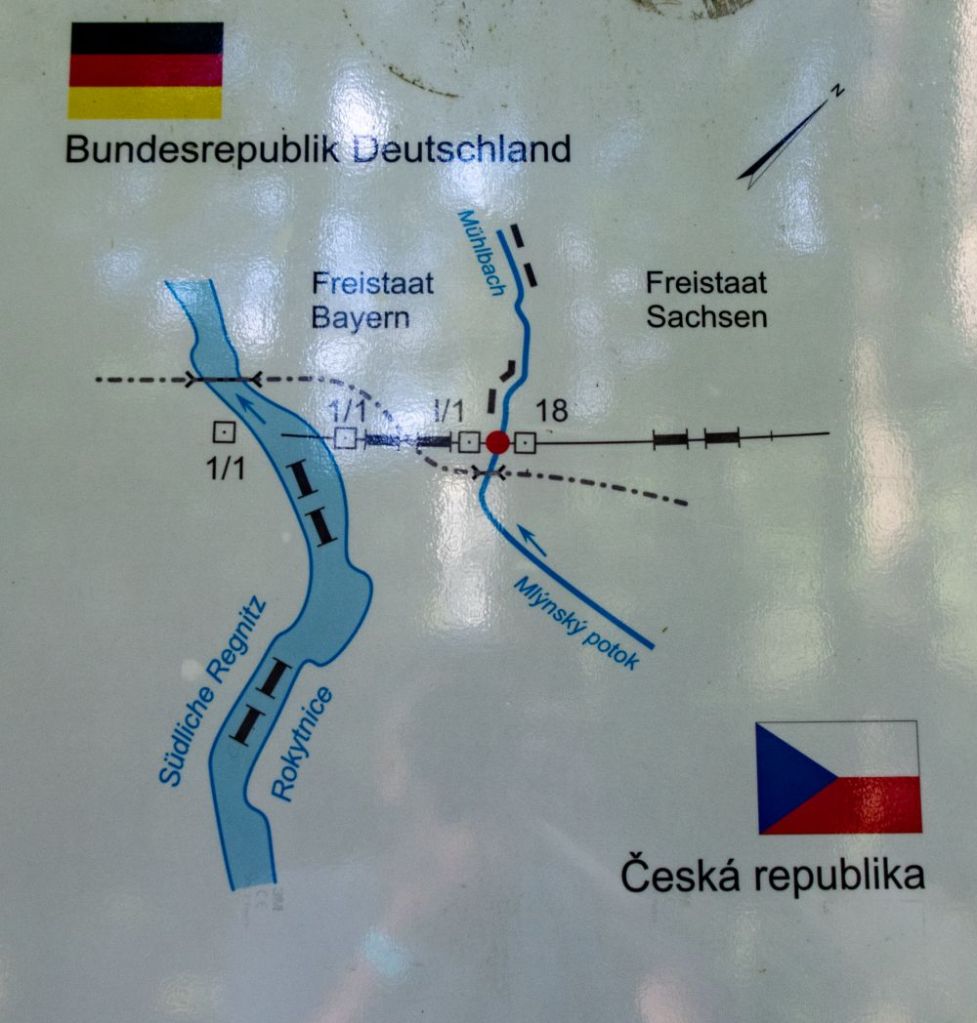
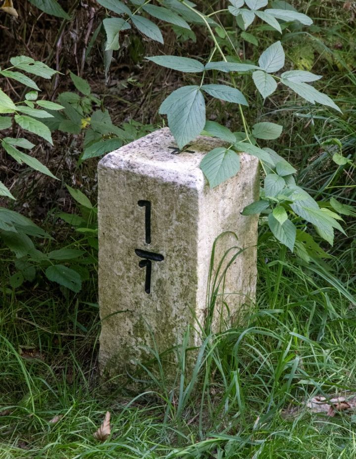
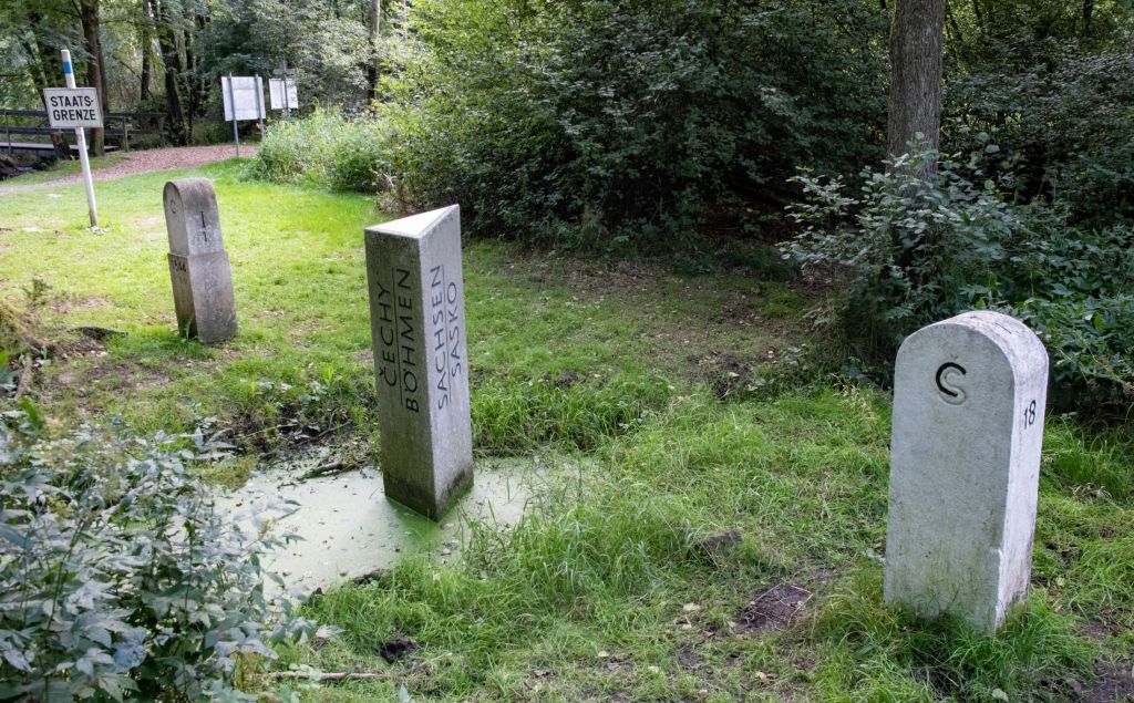
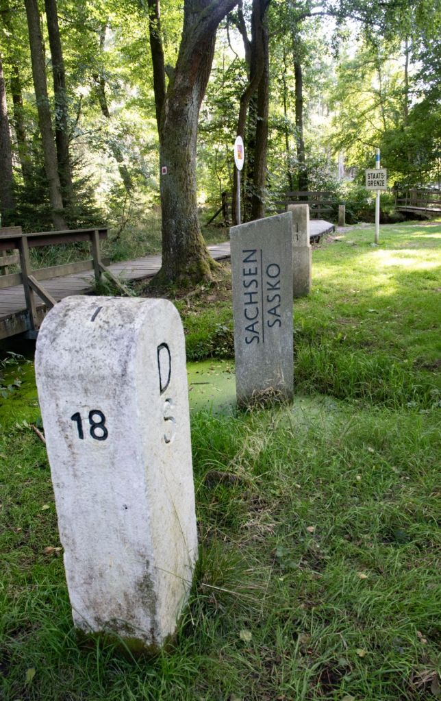
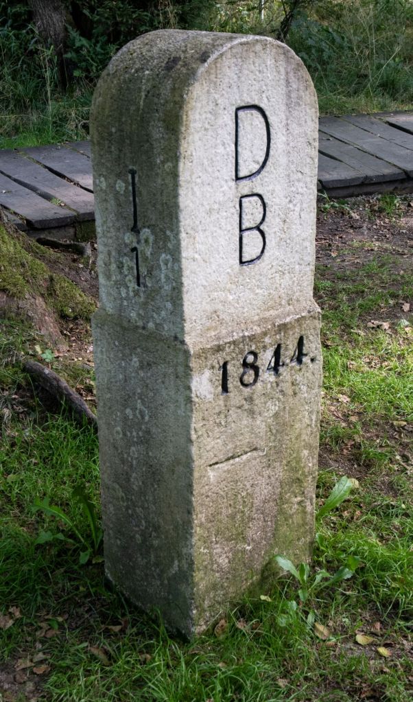
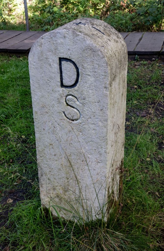
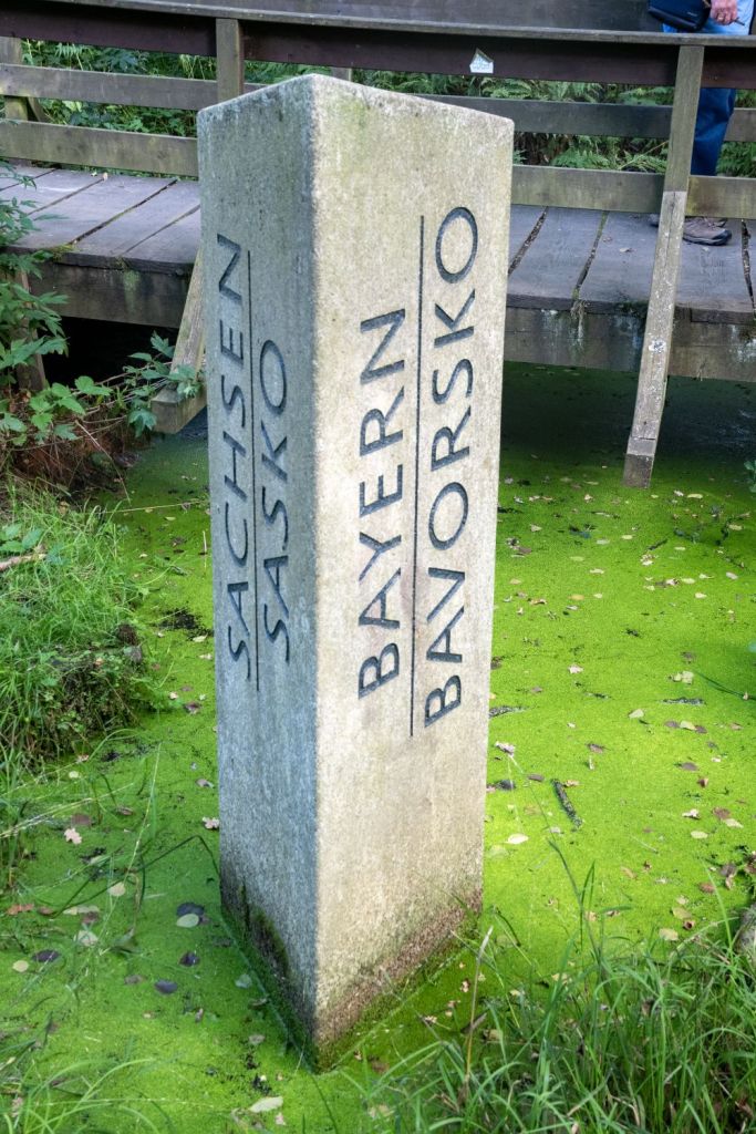
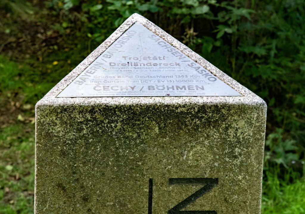
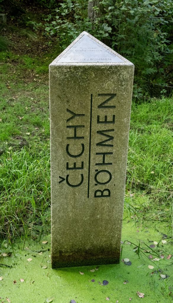
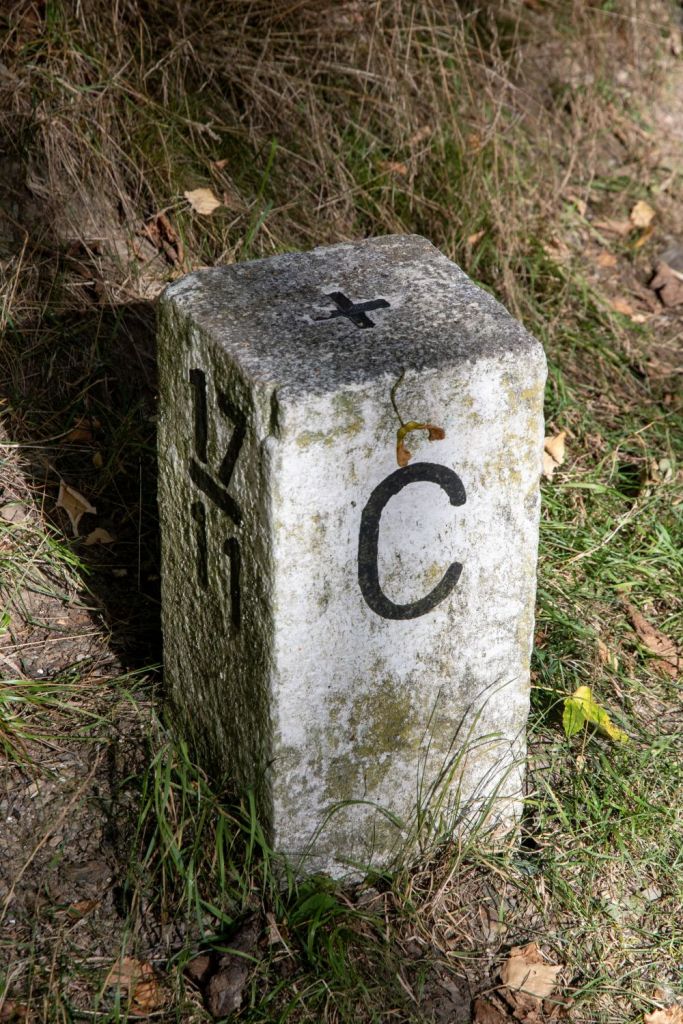
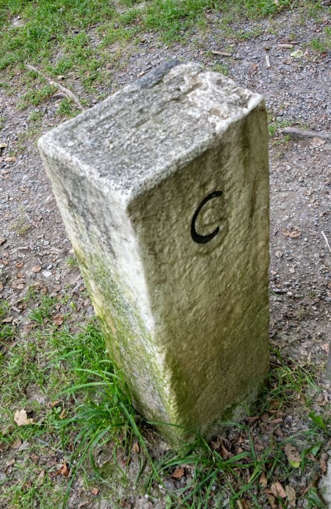
Existing older boundary stones, some dating back to 1844, may still bear historic markers like “DB” (Deutschland Bayern) or “DS” (Deutschland Sachsen). The tripoint monument is triangular with the names of the constituent areas in Czech and German.
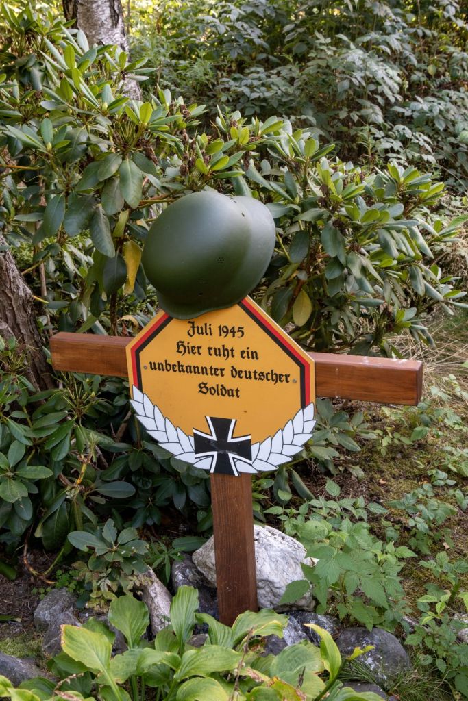
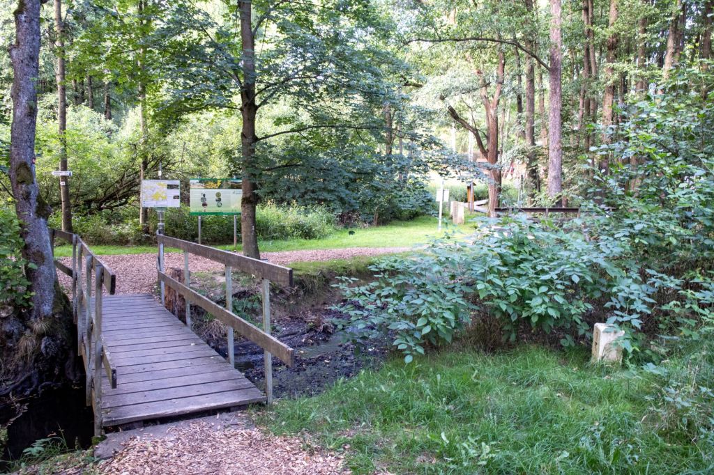
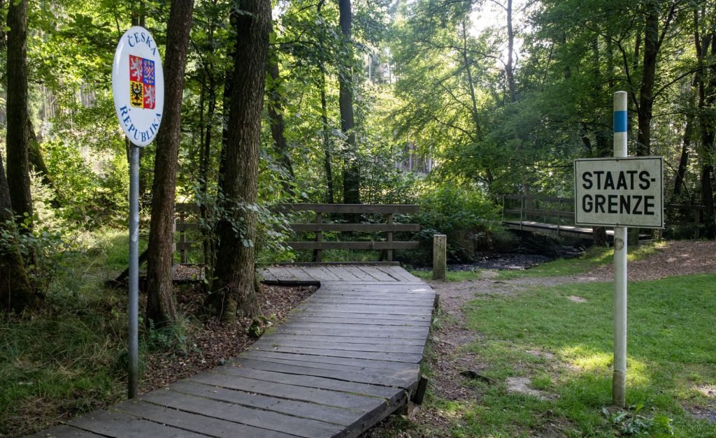
Entering the tripoint area the first POI is sadly the grave of an unknown soldier, killed after the end of WW2. The path crosses the border between the modern European countries of the Czech Republic and Germany where the first border marker 1/1 is observed. The CZ/DE border moves east -west crossing the river border between Bavaria and Saxony

Tripoint Marker
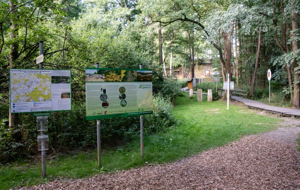
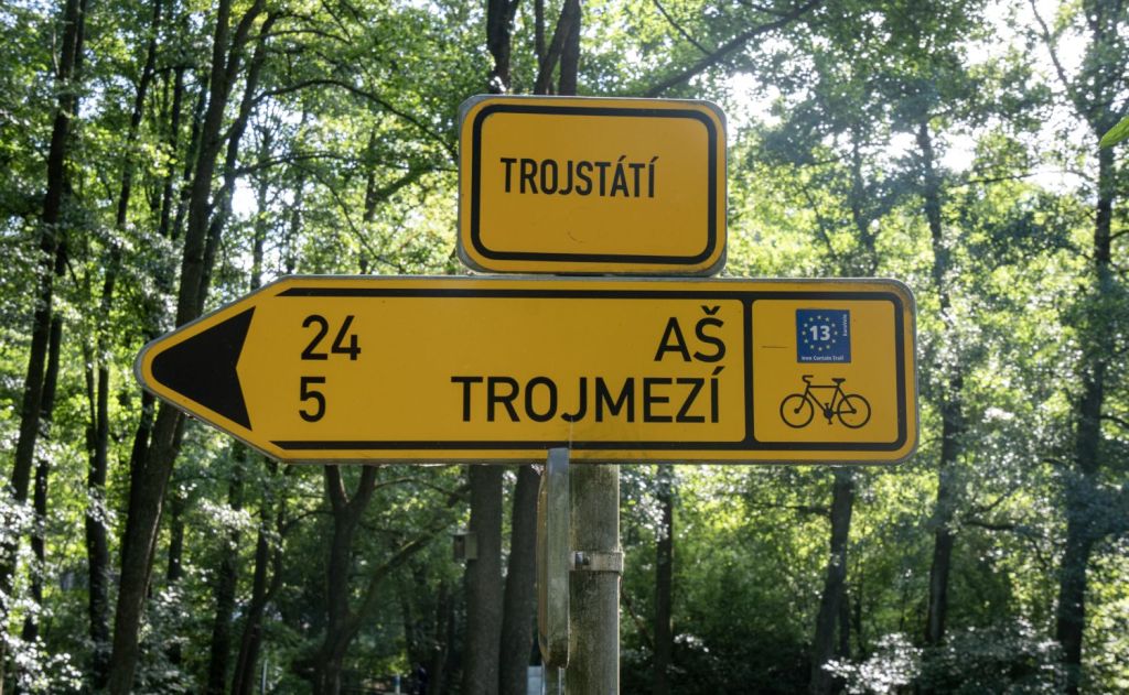
More signs and markers
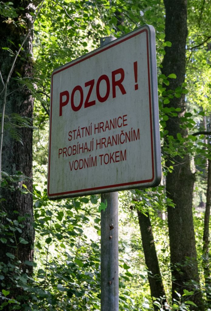
There are many signs, both national emblems and information boards with useful historical information and maps as well as details of the local flora and fauna. Walkways take visitors across the rivers and brooks, sometimes I need to check which area I was in.
East German Watch Tower
A short distance away from the tripoint was a B Tower, short for Beobachtungsturm) originally used by the East German Border Guards. The tower had the following levels:
Basement
Ground floor with arrest cells
1st floor with sleeping compartments for a half squad, with two small windows per side, suitable as a loophole
2nd floor with observation platform, and alarm and signalling equipment. Four windows face each of the four sides.
Roof, with railing and search light, possibly antennas
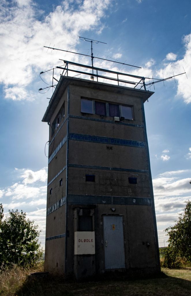
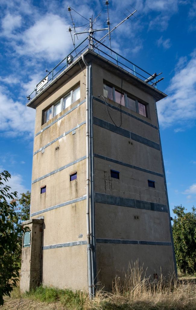
Many towers were demolished at the time of reunification. Those that remain are now historical monuments, and this one has been repurposed into a base for the local amateur radio club. For information on the inner German border click here or the photos above.

Date of Visit: 22 August 2025
