
The historic tripoint between Germany, Poland, and the Free City of Danzig
The Free City of Danzig was a city-state under the protection and oversight of the League of Nations between 1920 and 1939, consisting of the Baltic Sea port of Danzig (now Gdańsk, Poland) and nearly 200 other small localities in the surrounding areas. It was established on November 15, 1920. The city state bordered the Polish corridor to the west and East Prussia to the east. In 1928, its territory covered 1,952 km2, including 58 square kilometres of freshwater surface. The border had a length of 290.5 km, of which the coastline accounted for 66.35 km
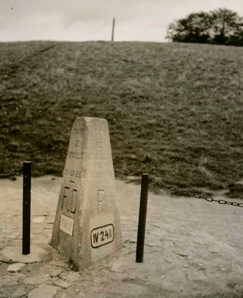
Historical tripoints are a subset interest to those border enthusiasts who travel the world visiting points where 3 countries meet. Some are marked with border markers, others with nothing at all. In the case of DEFDPL the 2 of the constituent parts of the tripoint, Germany in the form of East Prussia and the City State itself ceased to exist following WW2 and the area is now completely in the modern state of Poland. The specific location of the tripoint between Germany, Poland, and the Free City of Danzig was situated near the junction of the Vistula and Nogat rivers, close to the modern Polish town of Biała Góra. Other members of the IBRG have visited this spot and using their maps and photographs was very helpful. This was my #30 tripoint visit. Other European tripoint visits are reported here


May 2025 visit
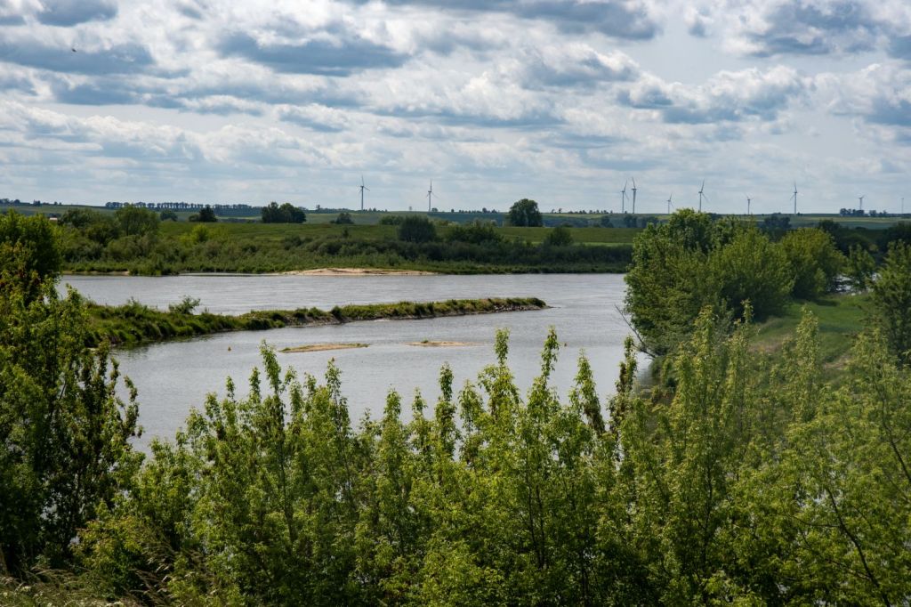
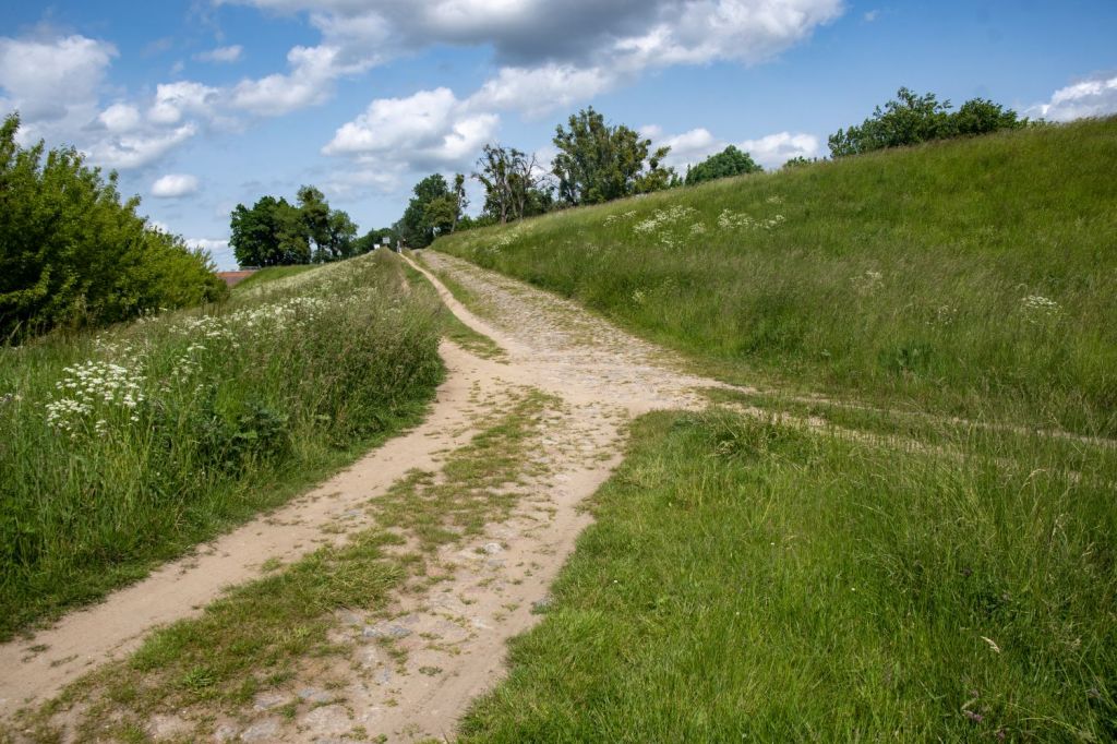
Parking in a nearby car park with information boards, clearly defined paths lead to the tripoint area which is bordered by the rivers Nogat and Vistula.


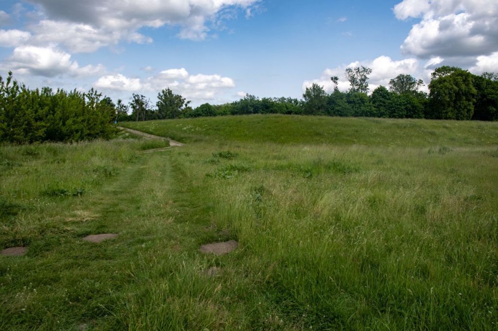
Tripoint Area
Without exact geo data it was always a guess to where exactly the tripoint was located. Looking at maps and other photos of border enthusiasts I think I got close.


More information on the Free City of Danzig
Please click on the flag image below for more information and border POI’s.


Date of Visit: 31 May 2025
