
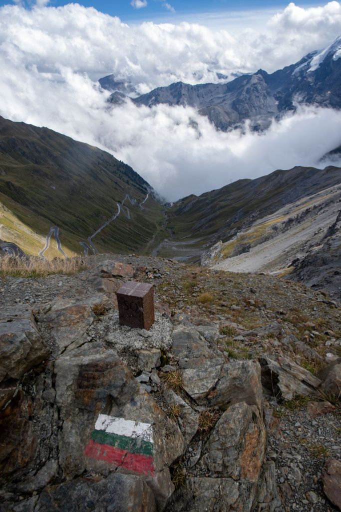
The Dreisprachenspitze (Three Language Peak, 2,843m in the Ortler Alps, the historic meeting point of Italian, German, and Romansh languages.), located near the Stelvio Pass on the border of Italy and Switzerland features a significant war memorial and historical site from World War I. It currently is a secondary tripoint (marking regions rather than countries) between Lombardy (Province of Sondrio), South Tyrol both Italian, and Graubünden in Switzerland.

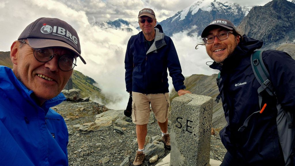
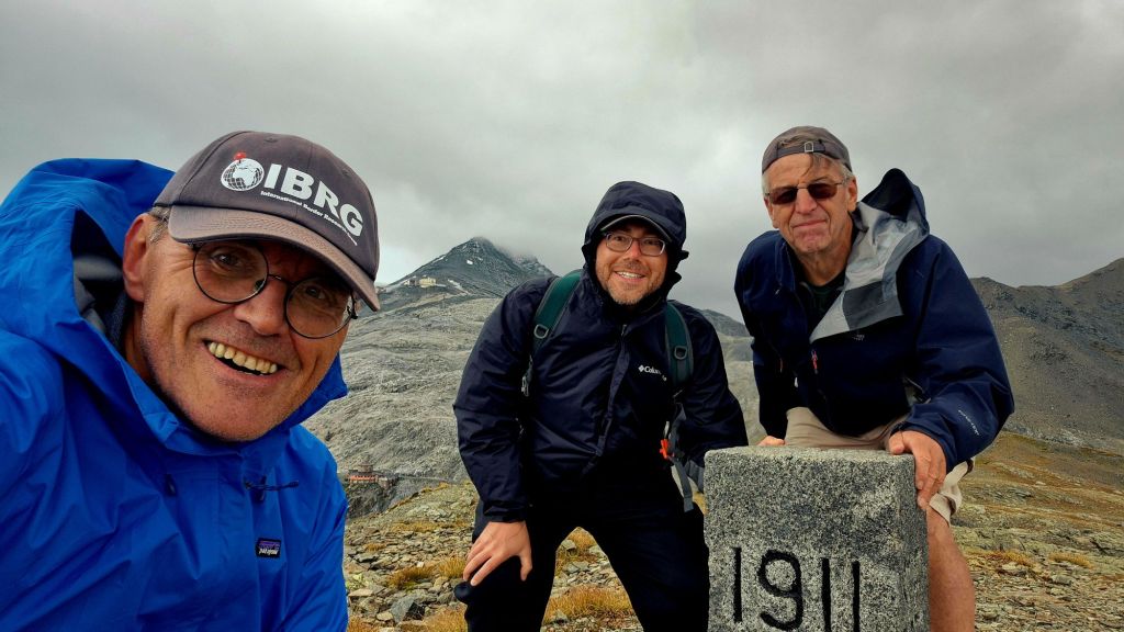
Until the Treaty of Saint-Germain came into effect in 1920, which ceded South Tyrol to Italy, this was the tripoint of The Kingdom of Italy, Austria – Hungarian Empire, and Switzerland, and therefore is a historical tripoint. This is Tripoint #36 for me. My other European tripoint visits are reported here. We visited this point as part of the IBRG LIVCO-25 expedition.
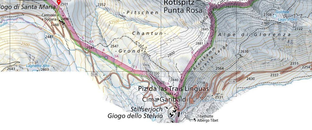
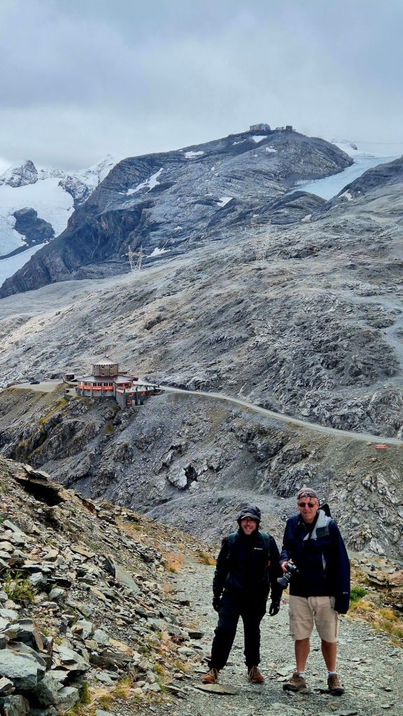
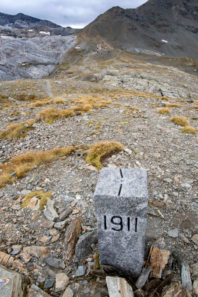
Ascent along the border
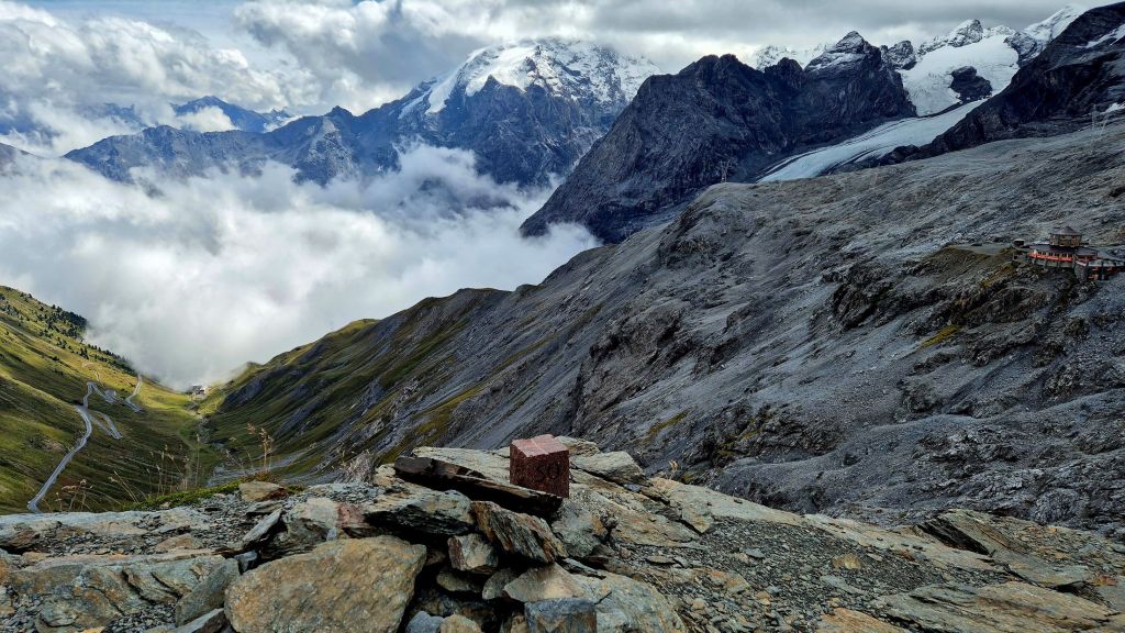
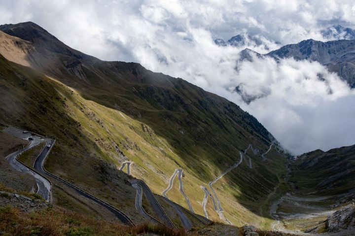
The short ascent from the Stelvio Pass to the Dreisprachenspitze follows a hairpin bend on the south-western slope and soon runs along the ridge that marked the border between Austria/Hungary and Italy until 1919. Today, this ridge marks the border between the two Italian provinces of Lombardy and South Tyrol. The walk to the tripoint was characterised by amazing alpine views and the hair pin road leading up to the Stelvio Pass.
The Tripoint
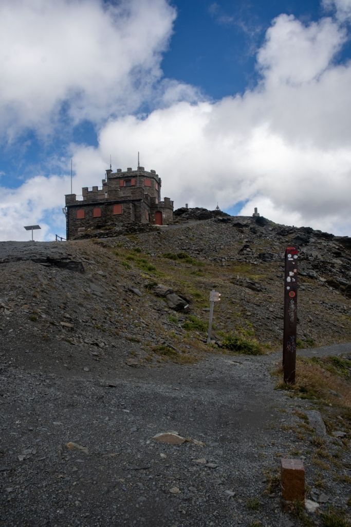
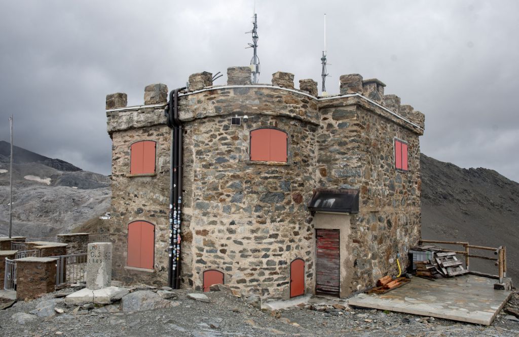
Dreisprachenspitze – known as Piz da las trais Linguas in Romansh or Cima Garibaldi in Italian – was one of the key locations during the First World War. The tripoint marker BM#1 – is still there, at 2,850 metres above sea level. Since summer 2014, three iron figures have been guarding it and telling visitors about the remarkable history that took place here over 100 years ago. There used to be a hotel on the summit, now replaced by a restaurant (situated completely within Switzerland).
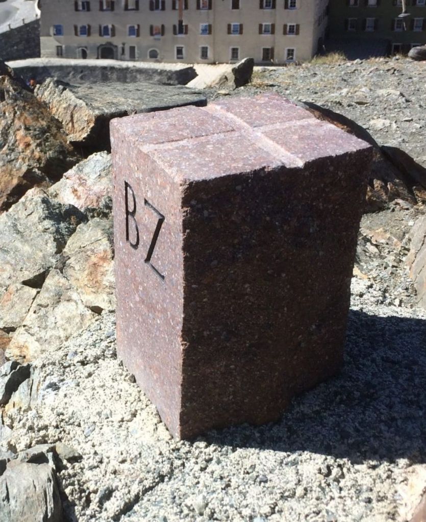
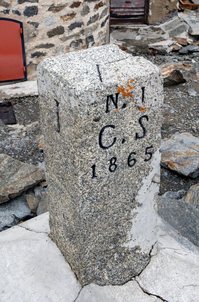
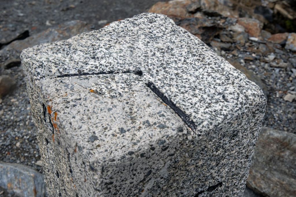
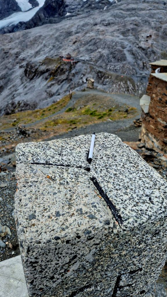
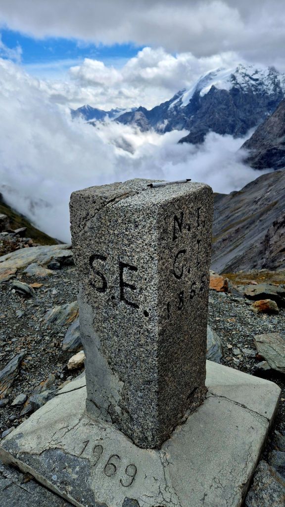
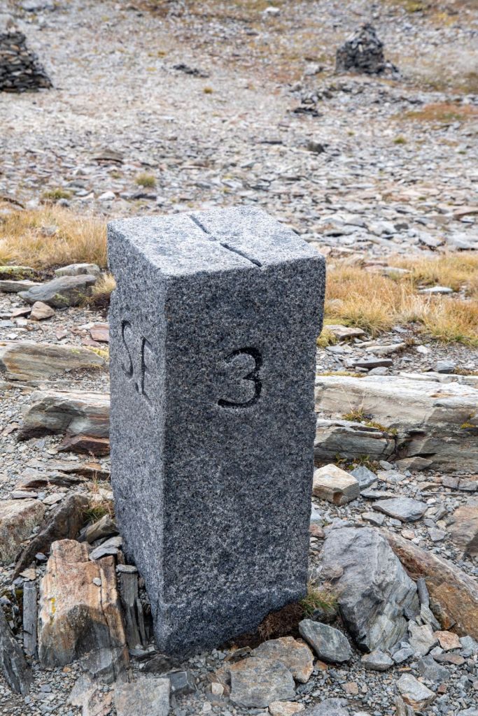
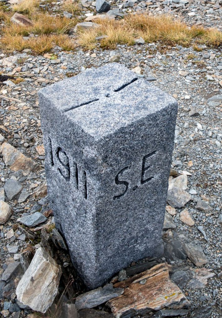
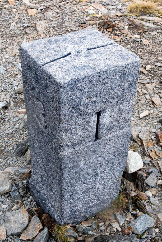
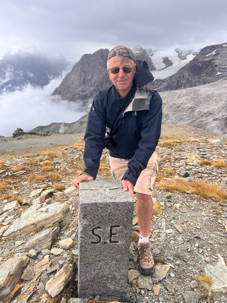
Tripoint Marker
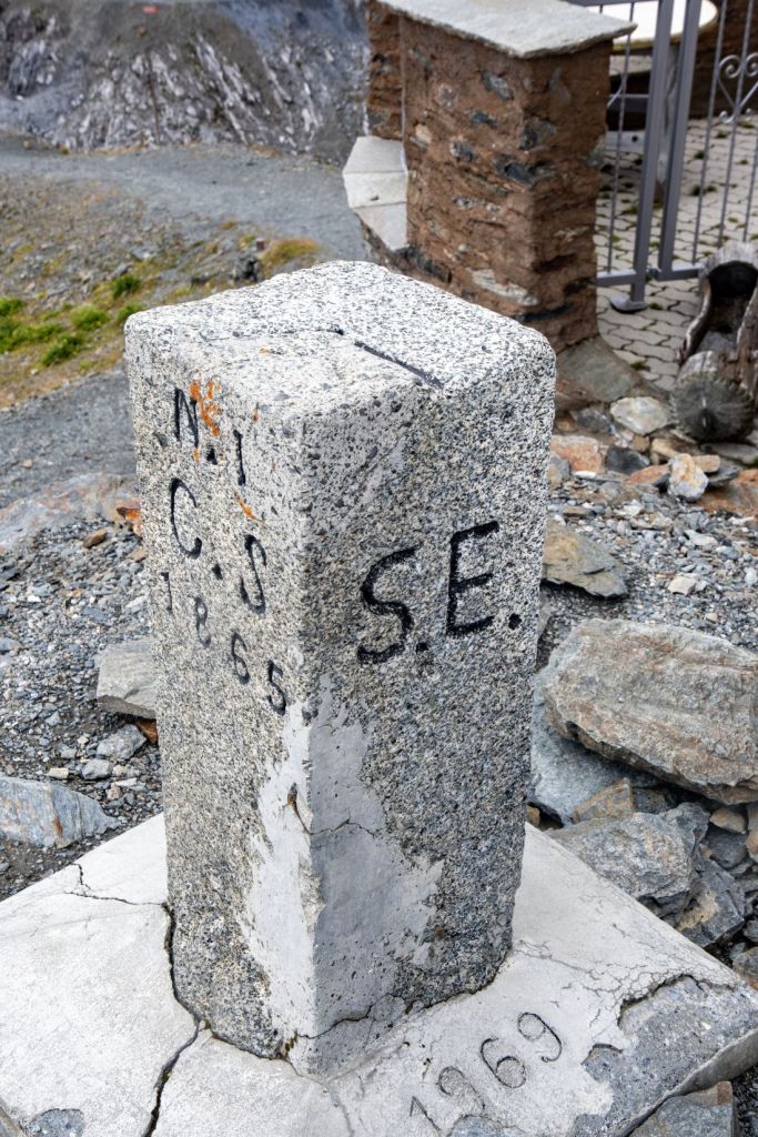
Today, boundary stone no. 1, C.S stands for ‘Confederaziun svizra’, meaning ‘Swiss Confederation’ in Romansh. SE meaning “Schweizerische Eidgenossenschaft” in German. The year 1865 indicates the date of the survey or the year the boundary stone was erected. ‘R.I.’ on the south side stands for ‘Repubblica Italiana’.
Click on images below to enlarge.
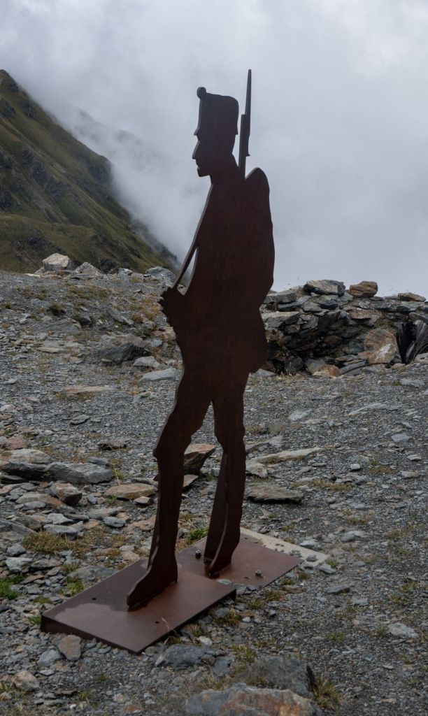
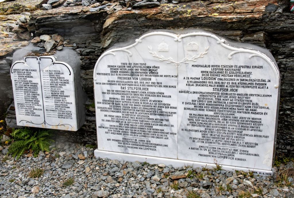
Monuments to a forgotten battle front
The group of three mountain soldiers on the Dreisprachenspitze.
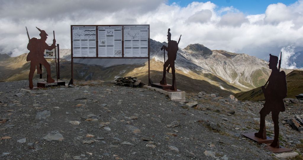
During the First World War, this was a contested high-mountain region: to the east lay Austria-Hungary , to the west the Kingdom of Italy , and in between, at this very point, was a protrusion of Swiss territory . Thus, it sometimes happened that the two warring states, Austria-Hungary and Italy, literally fought over the heads of the Swiss border guards. In 1915, the Austro-Hungarian Army established a large troop camp on the eastern slope below the Breitenkamm ridge on the Austro-Hungarian side, which was in the blind spot of the Italian artillery.
In the area there are remains of trenches, accommodation huts and old buildings that supported the respective armies. The battles fought at altitude were tough on all sides. A short distance away from this monument is a memorial to Austrian – Hungarian solders.
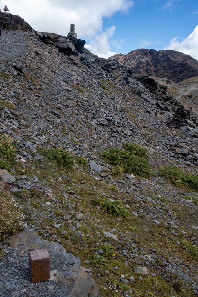
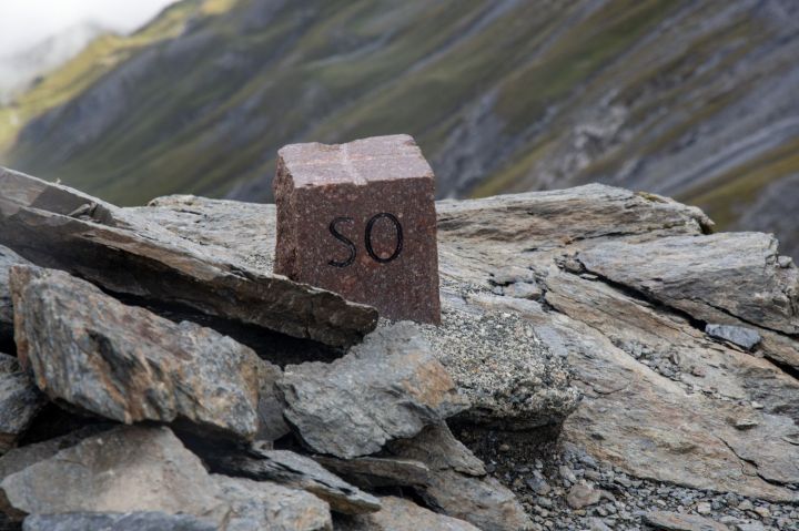
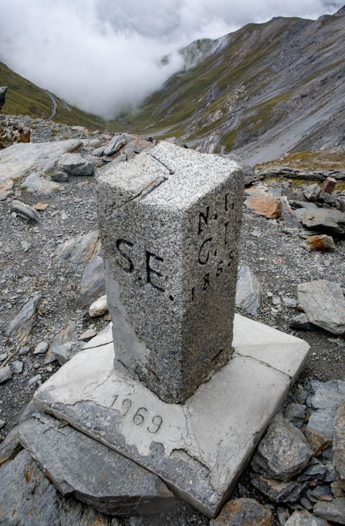
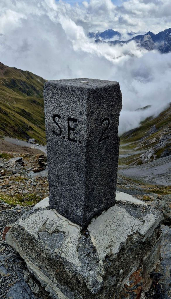
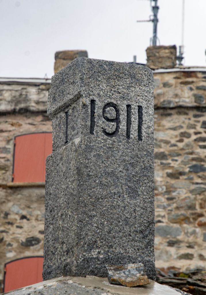
Other border markers
Walking along the old Swiss – Austrian- Hungarian border 2 more border markers were observed.
BM#2
Click on images below to enlarge.
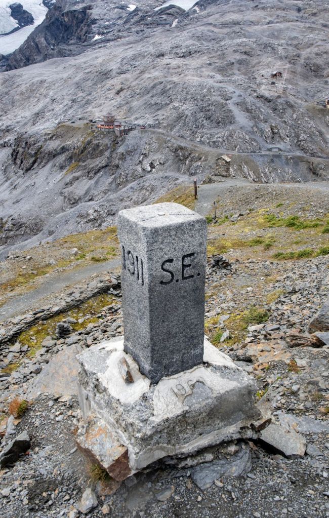
BM#3
Click on images below to enlarge.
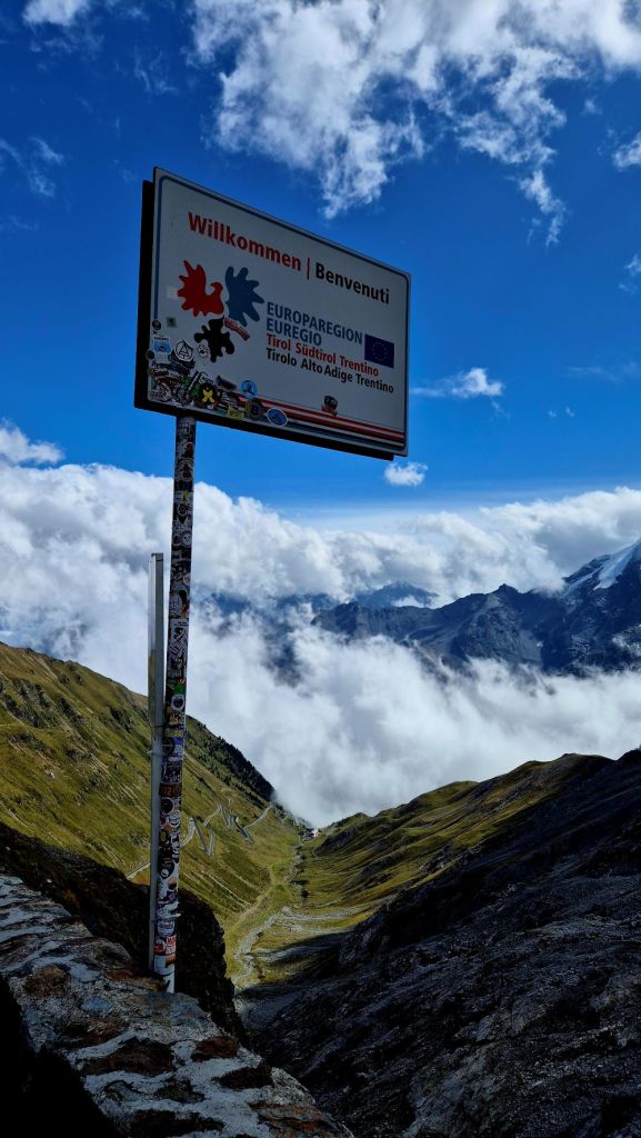
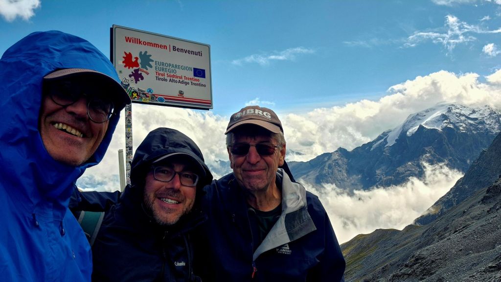
Stelvio Pass
The Stelvio Pass is a mountain pass in northern Italy at an elevation of 2,757 m above sea level. It is the highest paved mountain pass in the Eastern Alps, and the second highest in the Alps, 7 m (23 ft) below France’s Col de l’Iseran (2,764 m). Before the end of World War I, it formed the border between the Austro-Hungarian Empire and the Kingdom of Italy. The Stelvio Pass remains important for sport when it is open from May through November. The Stelvio Pass was also picked by the British car show Top Gear as its choice for the “greatest driving road in the world”. It is the highest finish of any Cycle Grand Tour.


Date of Visit: 29 August 2025
