
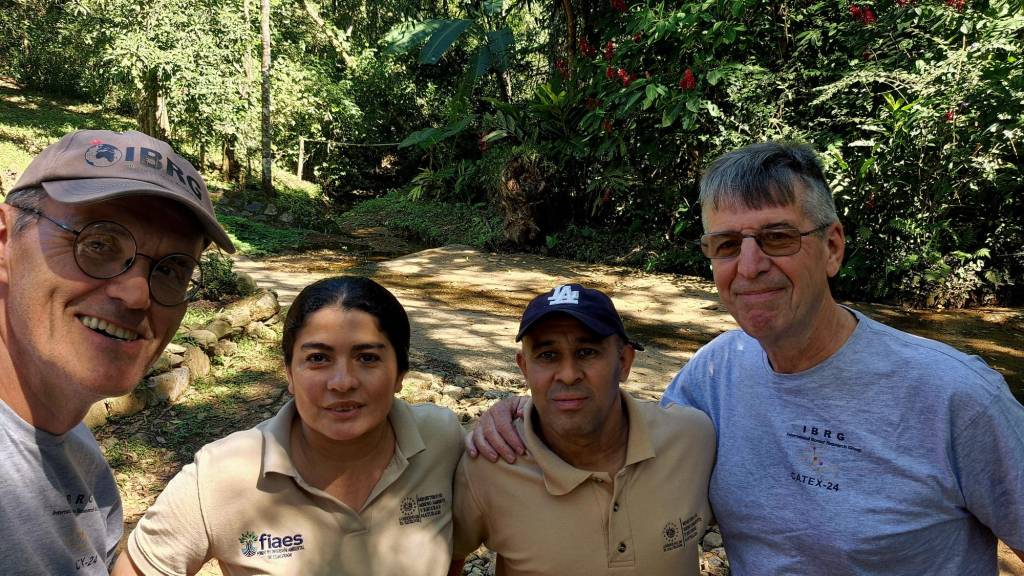
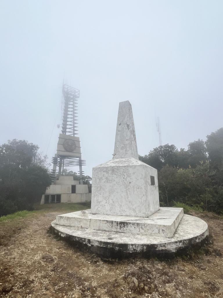
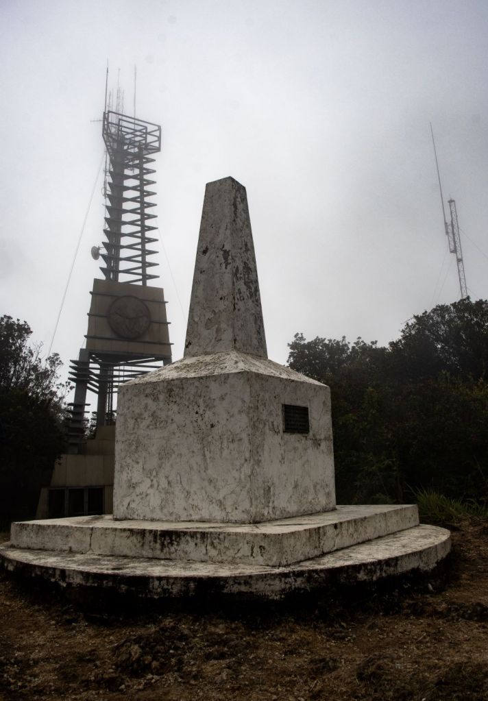
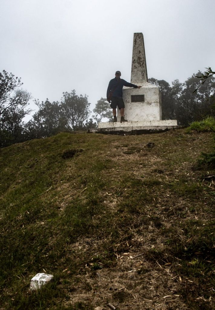
The tripoint between Guatemala, Honduras and El Salvador was Established initially in 1821, and subsequently by a GTHN arbitral tribunal 1933 & trilateral protocol 1936. These dates are inscribed on the monument itself. The tripoint is located at the summit of Cerro Montecristo (2418 m) in the Montecristo Massif. This point is known as Trifinio. I visited this tripoint as part of the IBRG CATEX-24 expedition. This is Tripoint #28 for me. Other Americas tripoint visits are reported here
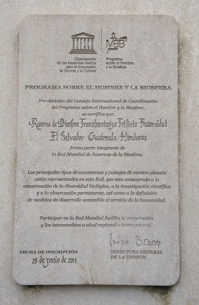
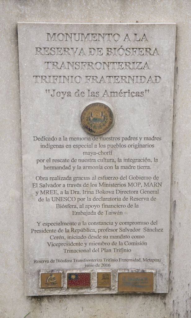
Montecristo National Park is a large national park cantered on the Montecristo cloud forest in the north-western tip of El Salvador. It was founded in 2008, and covers an area of 19.73 km2. The national park, together with Montecristo Trifinio National Park in Honduras and Trifinio Biosphere Reserve in Guatemala, form the Trifinio Fraternidad Transboundary Biosphere Reserve.
The tripoint is marked by a white tripoint monument close to a nearby observation tower that commemorates the establishment of the national park. Whilst the tripoint monument was built 90 years ago, it was not until 1980 that its location was agreed between the 3 countries.
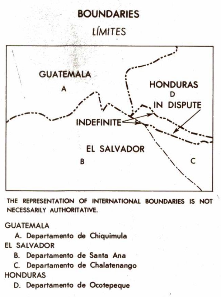
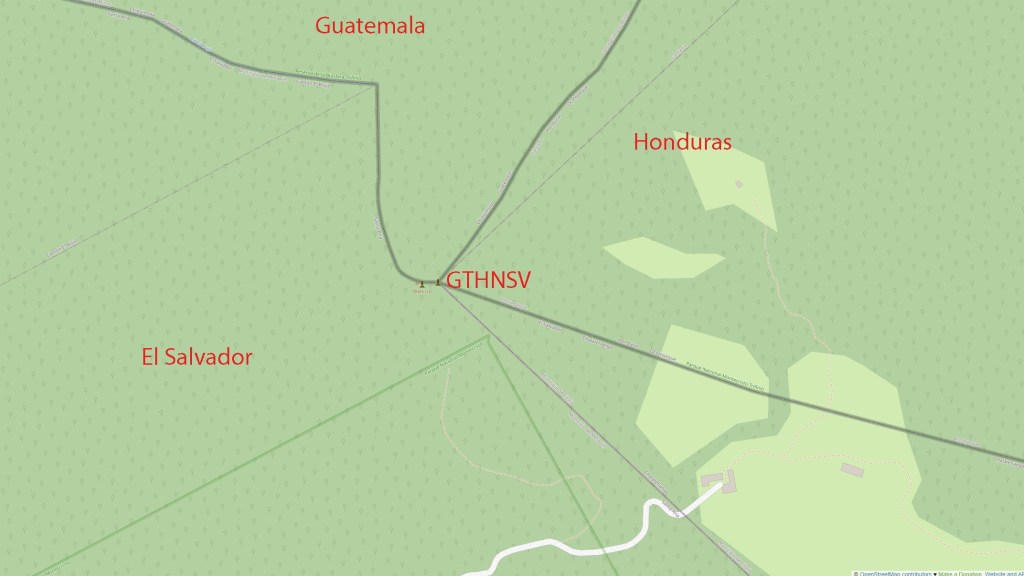
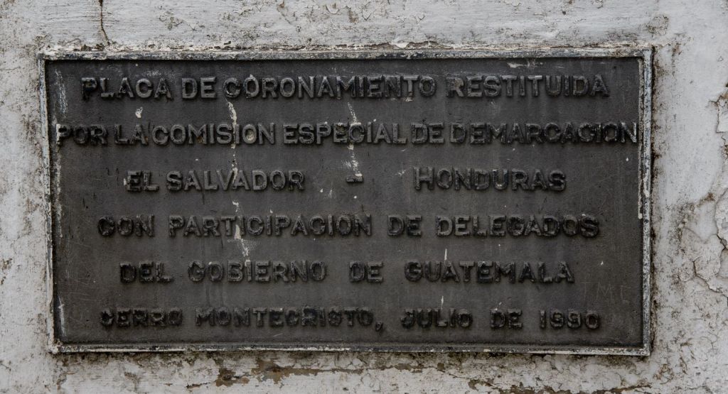
The disputed border area was in turn resolved through a ICJ judgement in 1990. Interestingly, whilst 2 of the borders in the tripoint area were demarcated the HNSV border had no marker that was observable. The map to the left indicates a departmental (region) quadripoint exists as well.
Google Maps in inaccurate and does not represent the borders well at this location.
Although not as remote as BZGTMX, a visit to this tripoint does take some planning. We left Santa Ana and visited Tazumal – the Mayan ruins before heading north towards the entry point of the National Park. The tripoint is only accessible from El Salvador and there are no tracks from the other 2 countries.
Montechristo National Park
Two hours after leaving the Tazumal ruins we reached the entrance gate, arriving at 11.50.
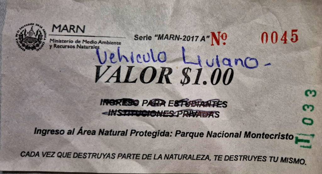
The cost of entry was $1 USD (El Salvador uses the US dollar as currency since 2001), and for the first time we received a senior citizens discount and were allowed in free.
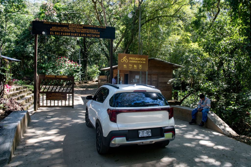
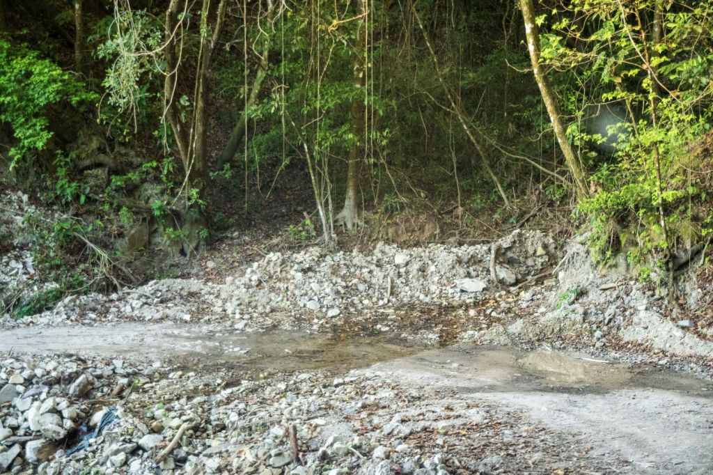
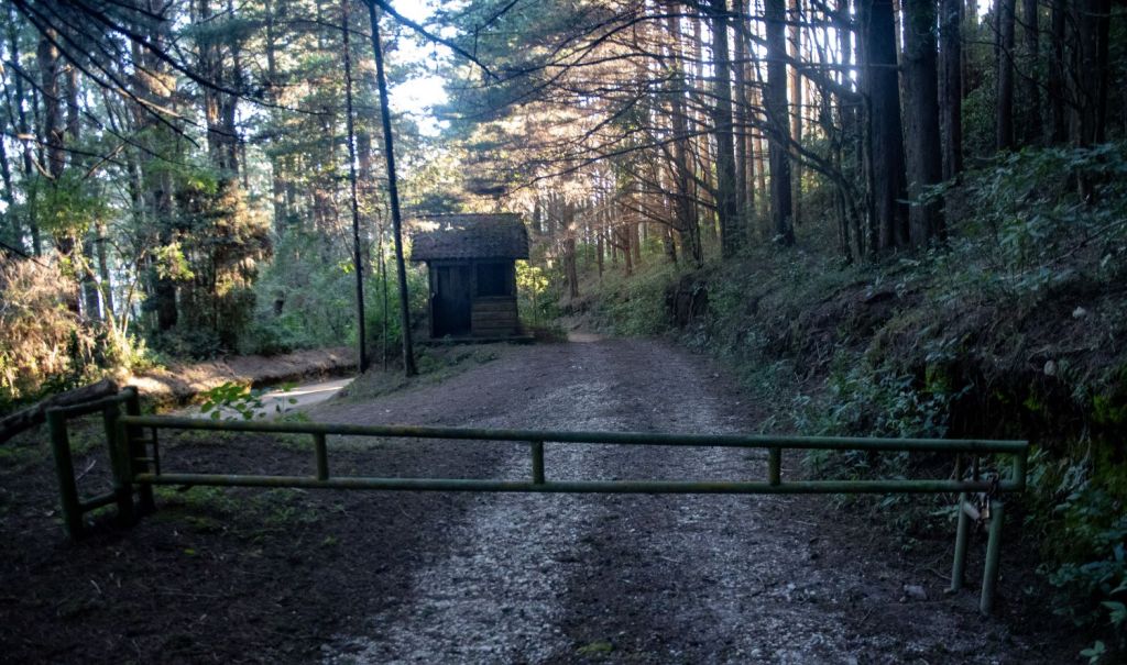
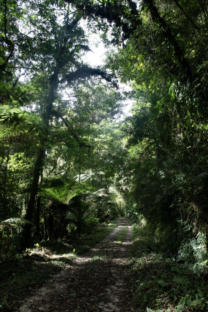
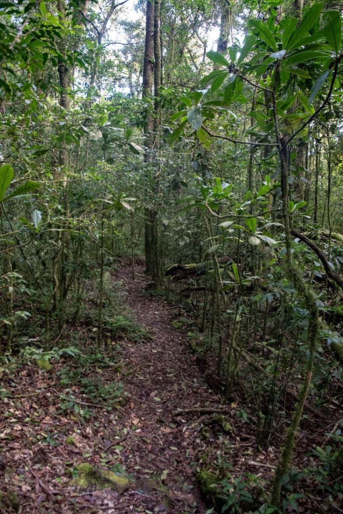
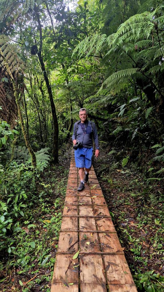
Although no English was spoken it became clear we had to drive along an unmade forest track to a wooden cabin and then walk from there. This turned out to be a further 6 km steady walk up hill until the entry gate to the tripoint area is reached.
The Journey Up.
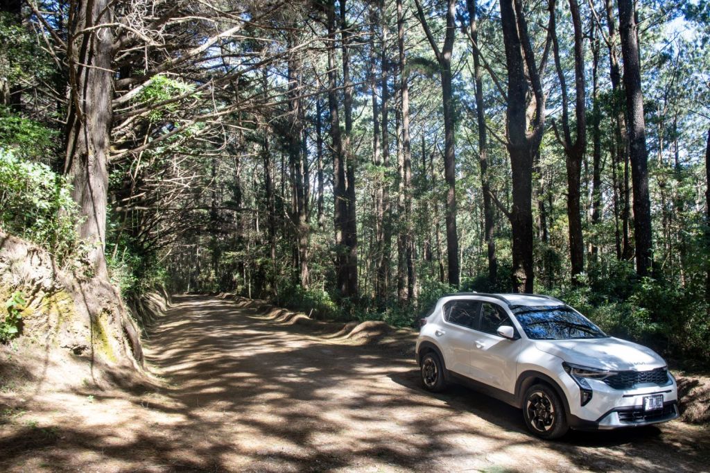
Although much better than the roads in Guatemala, the forest track too care and the 19 km took over an hour from the gate due to water erosion and the height clearance of our SUV.
The walk was straightforward and not challenging but it did add a time pressure component to this tripoint as were not sure if and when the park gates closed, and being locked in was not something we wanted to happen. The walk from where we parked the car to the Trifino gate was 1.5 hours up and 1 hour down. I would say we were walking fast with no stops, to give you an indication of the length of time required to reach the tripoint. We arrived back at the entrance gate when it was dark but it was open with the National Park officers checking cars. They seemed impressed we had been to the tripoint.
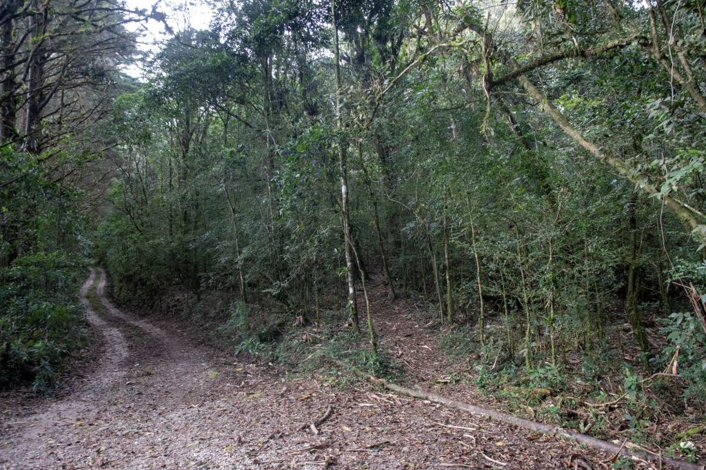
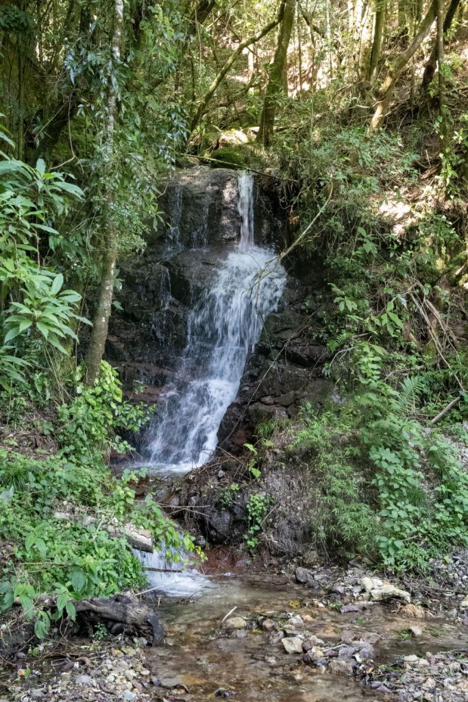
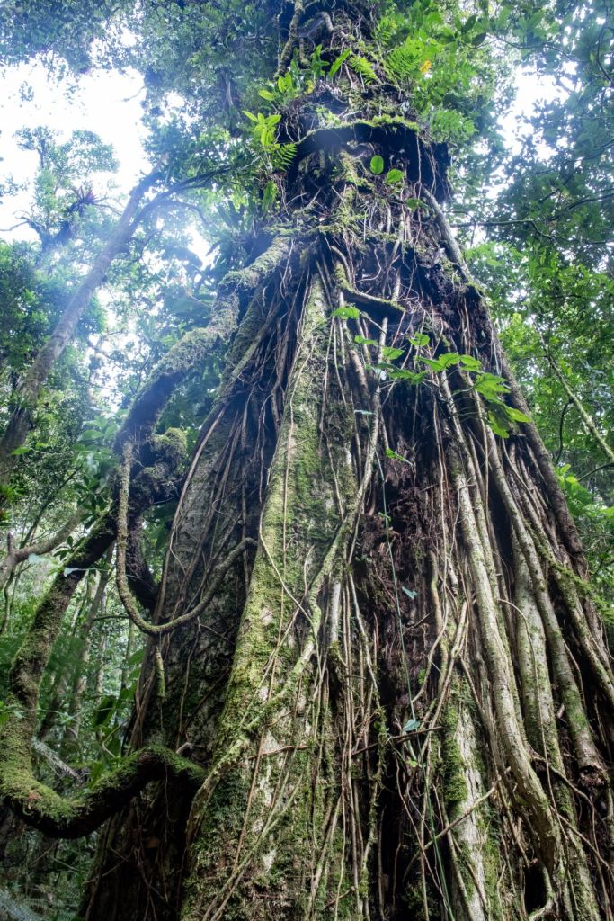
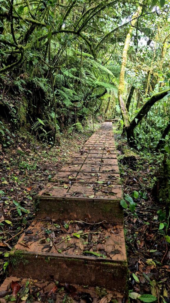
Shortly after leaving the gate we found a junction, the path on the right acts as a short cut and I would recommend using it if the weather is dry. We took the road up and the path down. As altitude was gained, the rain forest ecosystem became more dominant, and reminded me of New Zealand. Unlike BZGTMX, the temperature was pleasant and even cool towards the top.
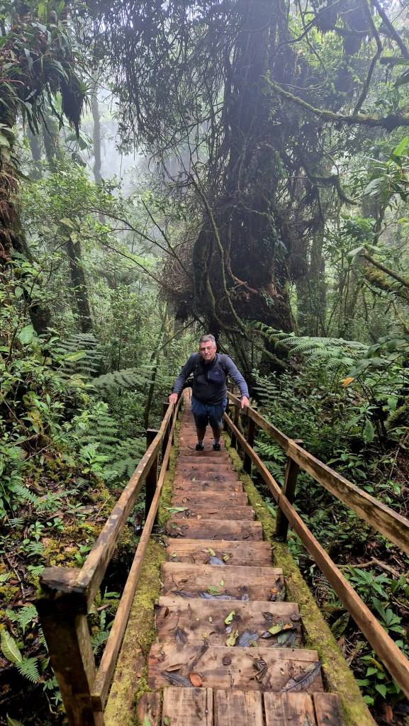
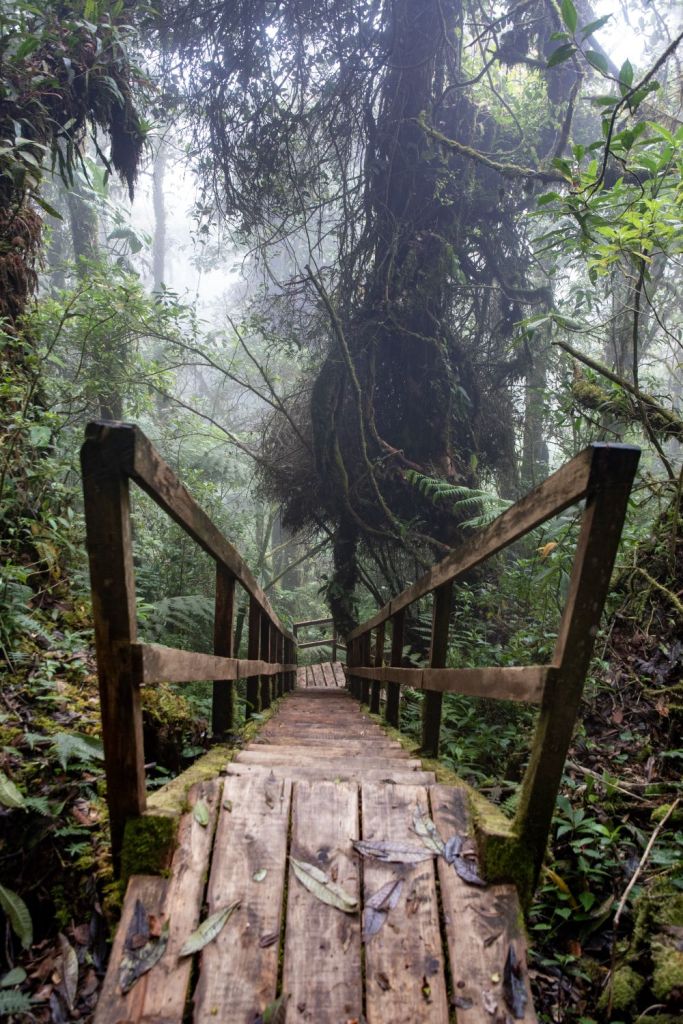
The Trifino Gate and 750 steps
We knew that when we reached the gate we would make it to the tripoint although some of the reviews on suggested the steps were hard work. In reality they were OK as they were initially quite gentle and towards the top, steep although that did meant that height was gained quickly.
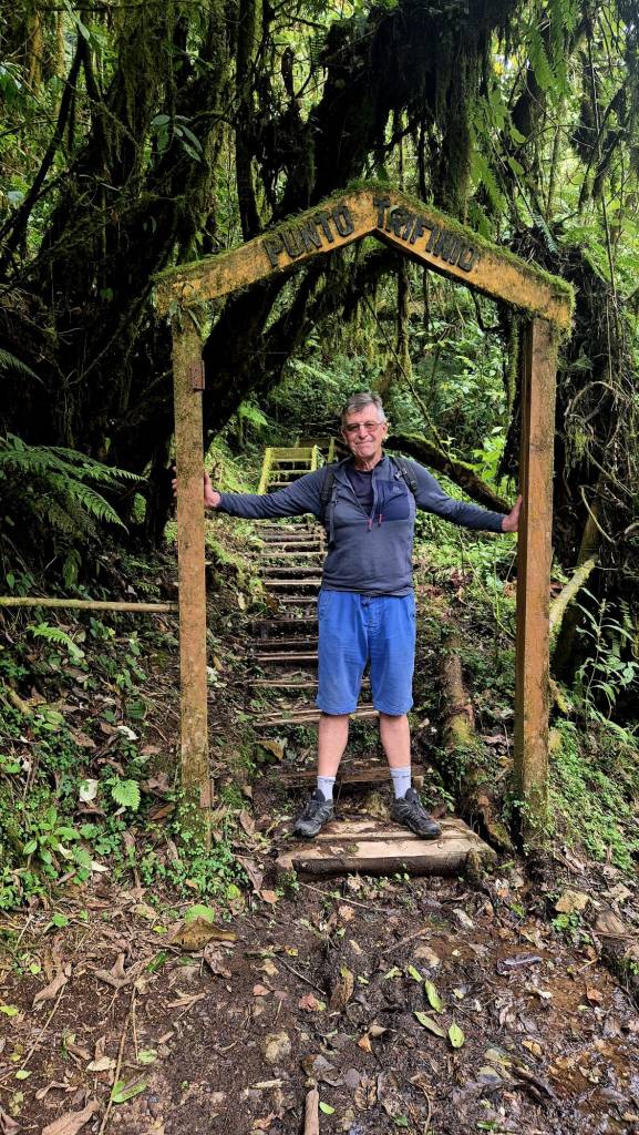
Finally after 40 minutes the sight we had been waiting for came into view. It was cold and misty on the top with a strong wind.
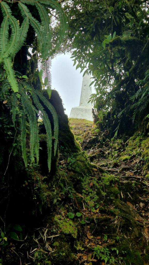
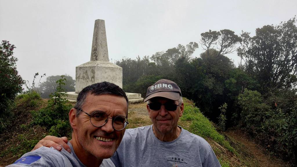
The last steep pull up to the top and our first glimpse of the tripoint monument. We visited this point as part of the IBRG CATEX-24 expedition. Our primary aim was to visit the 3 Central American tripoints and this was our #2 bagged.
In all the walk from the gate took 40 minute up and 20 minutes down.
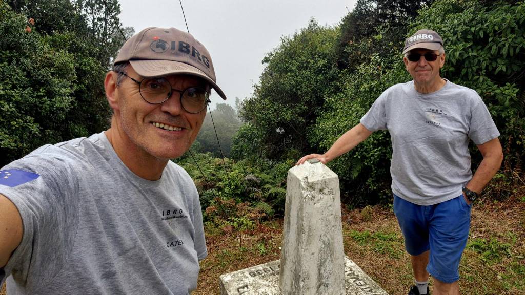
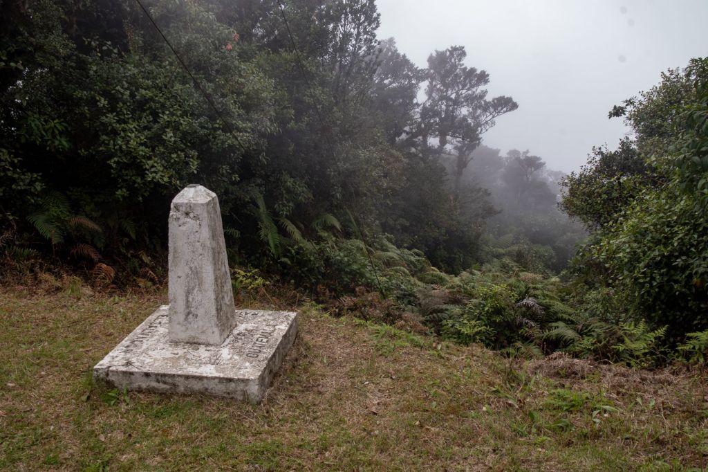
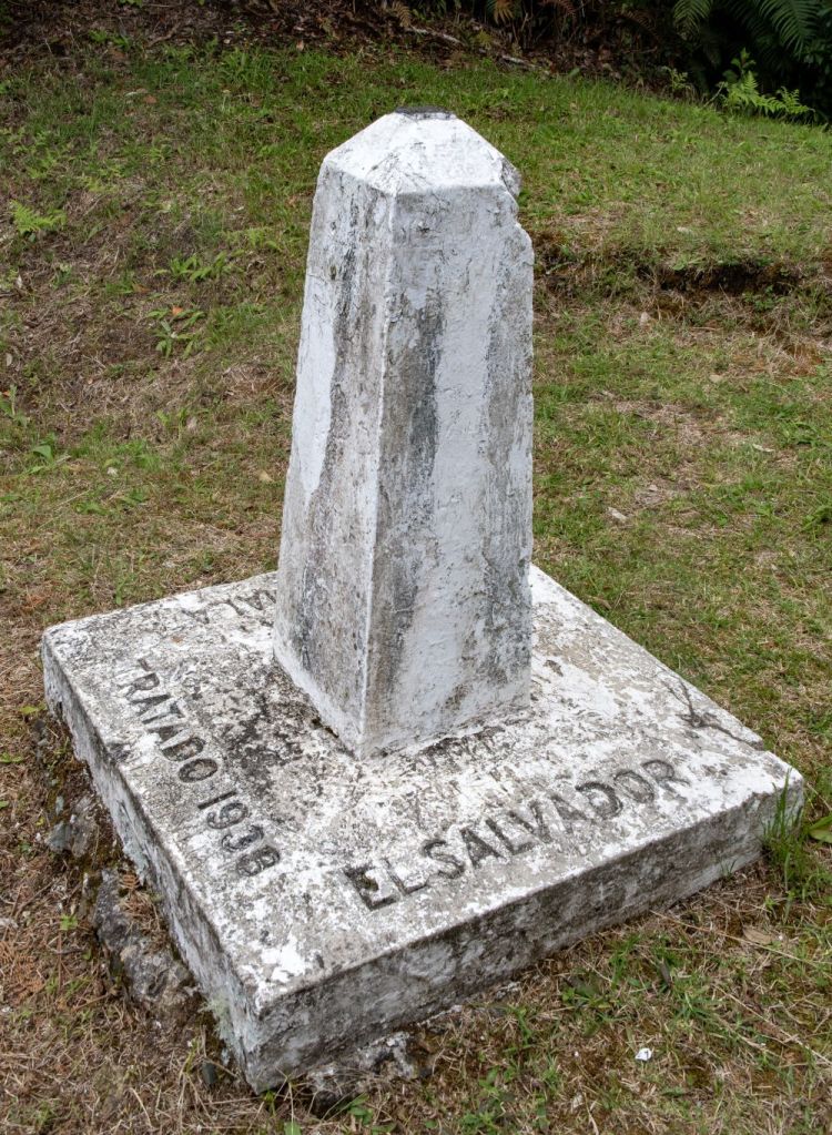
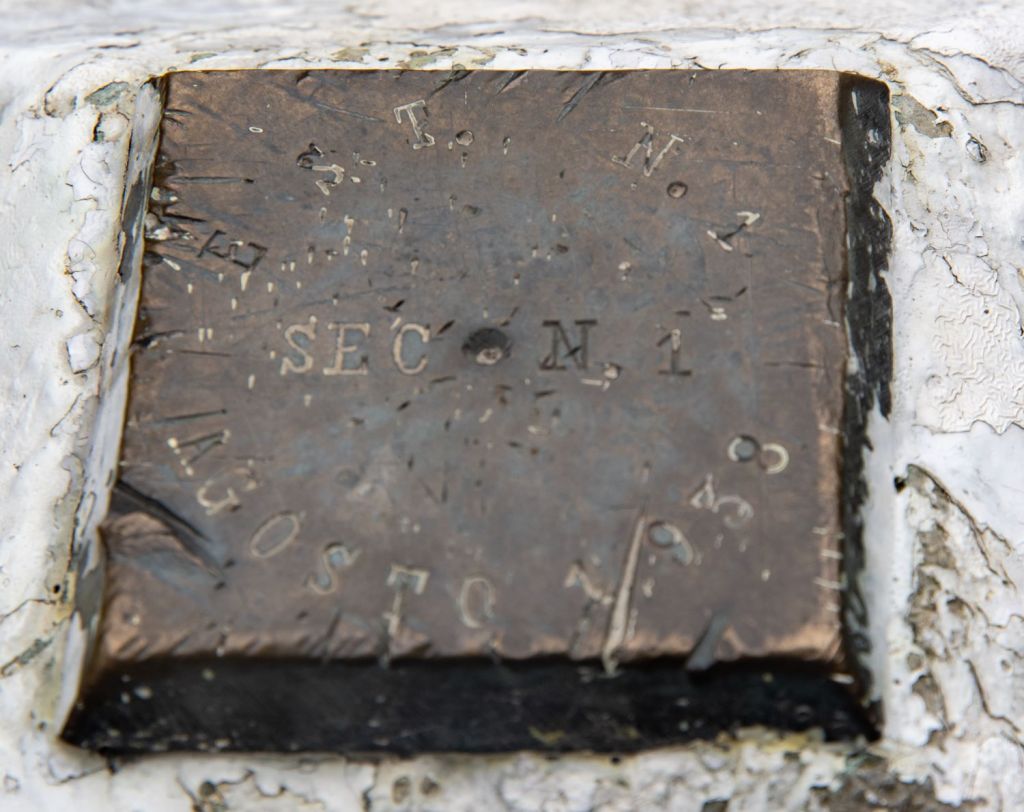
The Tripoint Monument
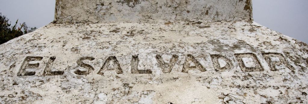
The monument is impressive, although it could do with a degree of restoration with a repaint and the inscriptions being redone. It is 4 sided, approximately 3.0 m tall with the names of the countries, its date of construction and a commemorative plaque.
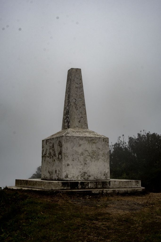

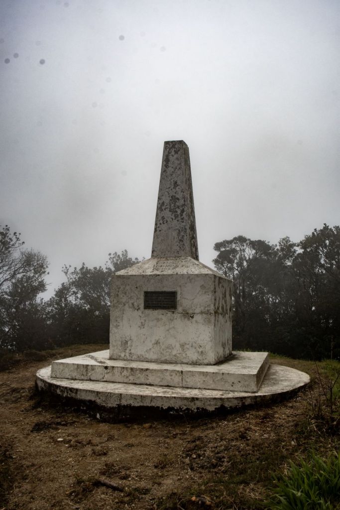

A Class B achieved. Too tall for us to reach the apex of the monument for a Class A.
Supplementary Border Markers
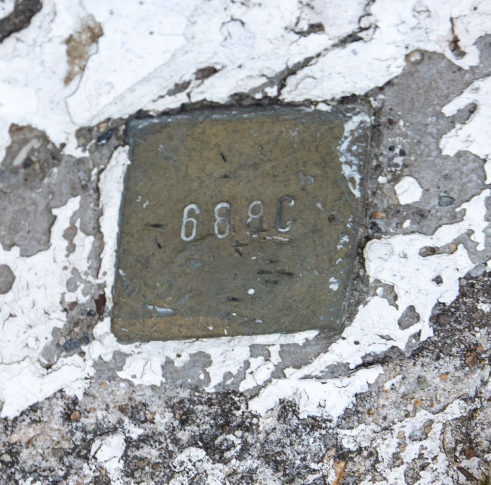
What is always a pleasant surprise is finding other markers close to the tripoint monument. Excellent examples of this is ATITSI and BGGRMK. We had no information or photos regarding this tripoint, there were however 2 markers.
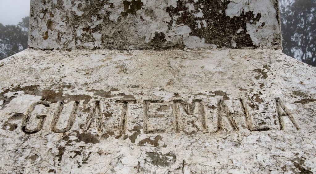
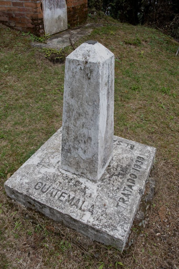
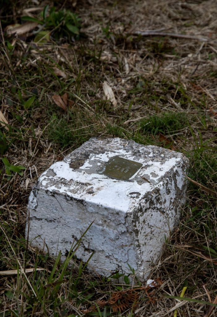
El Salvador – Guatemala Border
Approximately 40 m NW of the tripoint monument, easily visible even in the mist there was a large border marker with country inscriptions and a metal plaque on the top. A short distance of the border has been cleared but it is not possible to walk further as there is dense undergrowth.
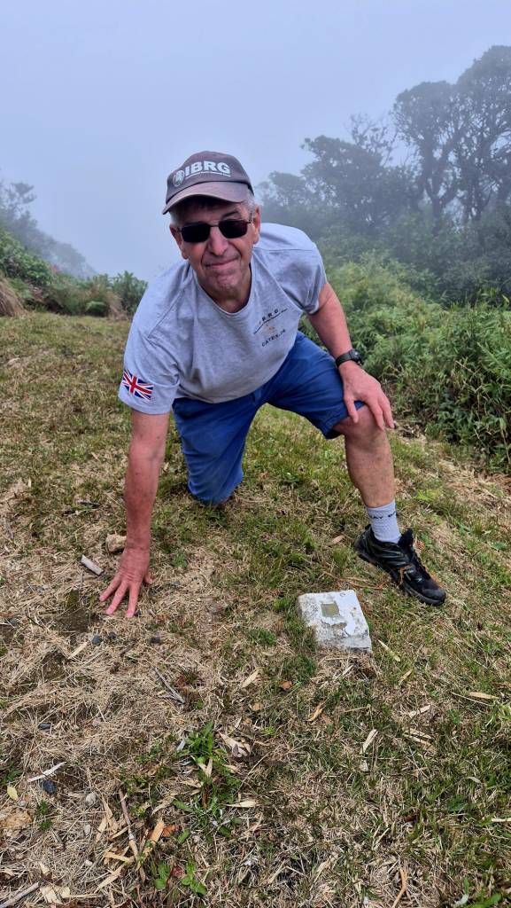
Guatemala – Honduras Border
A much smaller border marker is located 20 m NE of the monument.
There was no border marker that we could see to demarcate the Honduras – El Salvador border.
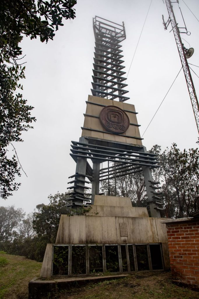
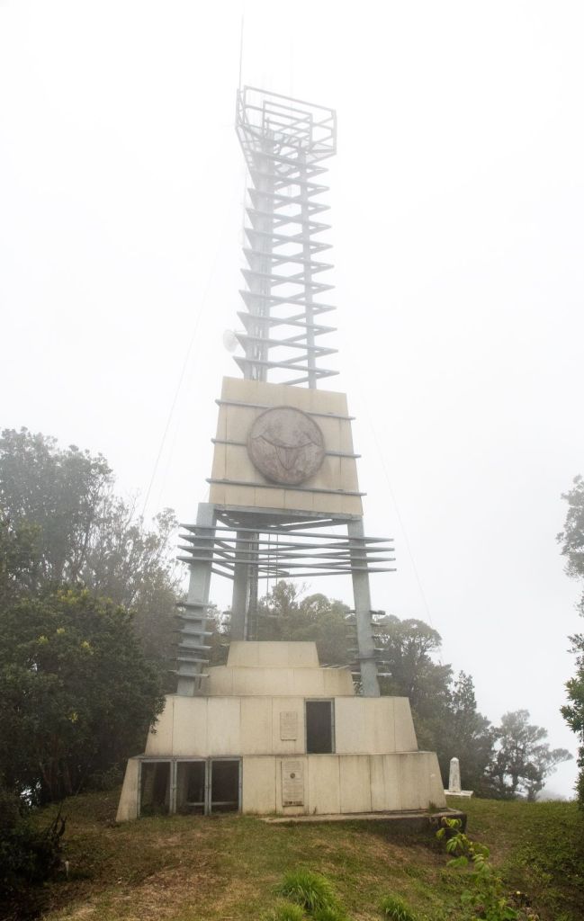
The Tower
Prior to visiting this point, I had assumed this was a communications tower, and although there are some separate ariels this tower in fact commemorates the establishment of the 3 country national park and its granting of UNESCO World Heritage Site recognition.
Videos

Date of Visit: 30 November 2024
