
This month there was a continued focus on the IBRG CYBEX-24 expedition in September/October 2024. The aim of CYBEX-24 was to visit as many POI’s along the buffer zone as possible within a 6 day visit, recognising that there would be POI’s left over for another trip. Following on from the update last month there were 5 further border POI’s to report on.
I also began my reporting on the first trip by IBRG members to Central America in November and December, this was a fast moving 3 week trip to 5 countries: Belize, El Salvador, Guatemala, Honduras and Mexico (4 new countries for me taking my total up to #69). Sadly Nicuagua whilst seen from the top of Conchagua remained out of reach this trip. The primary aim was to visit the 3 Central American Tripoints, but also to bag border crossings and border markers where possible. There was still time for lots of Mayan ruins, colonial architecture, food, culture and fun. There was so much to see and do and is likely to be the focus of website updates for the next couple of months.
New Pages
5 new pages this month on border POI’s in Cyprus. Please click on the images below to access full reports with maps, analysis and photos.
CYBEX-24
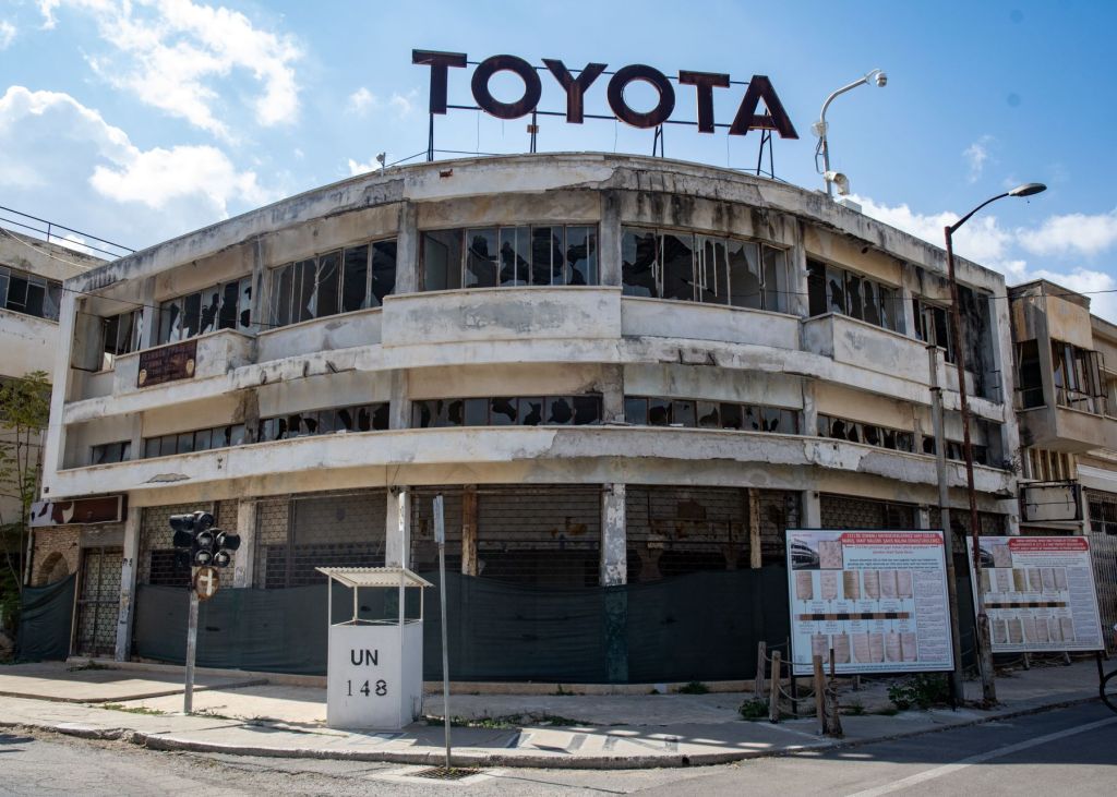


- Varosha (Turkish: Maraş) is the southern quarter of Famagusta, a de jure territory of Cyprus, currently under the control of the TRNC. After 50 years the buildings have decayed and in part collapsed with vegetation growing in the ruins. Palm beach where the jet set partied in the 70’s remains lovely and now open, but with abandoned hotels as a backdrop. Signs everywhere warning to stay out of the buildings. Details here.
- Cape Apostolos Andreas, at the tip of the peninsula, is only 109km from the coast of Syria. It is the north-easternmost point of the island of Cyprus situated at the tip of the finger-like Karpass Peninsula. Details here.
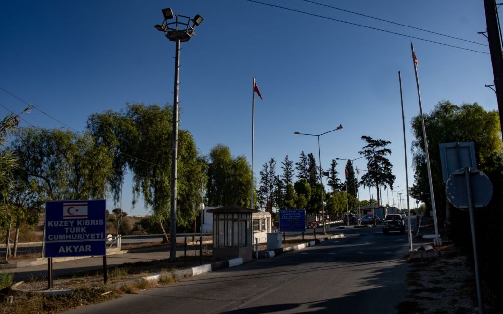
- The Strovilia/Akyar Checkpoint is in the British SBA(E). This checkpoint is particularly interesting because in order to reach it one needs to pass through a long corridor that spans not only the buffer zone but also the British military base. Details here.
- Achna (Turkish: Düzce) is an abandoned village in the Famagusta District of Cyprus. It is just north of the Buffer Zone and it is under the de facto control of the Turkish Republic of Northern Cyprus. Details here
- CYUKUNw is an administrative tripoint where the Republic of Cyprus, the SBA(e) and UN Buffer Zone meet. Details here.
CATEX-24
Four new pages on my trip to Central America. My initial focus was on the 3 tripoint visits. Please click on the images below to access full reports with maps, analysis and photos.
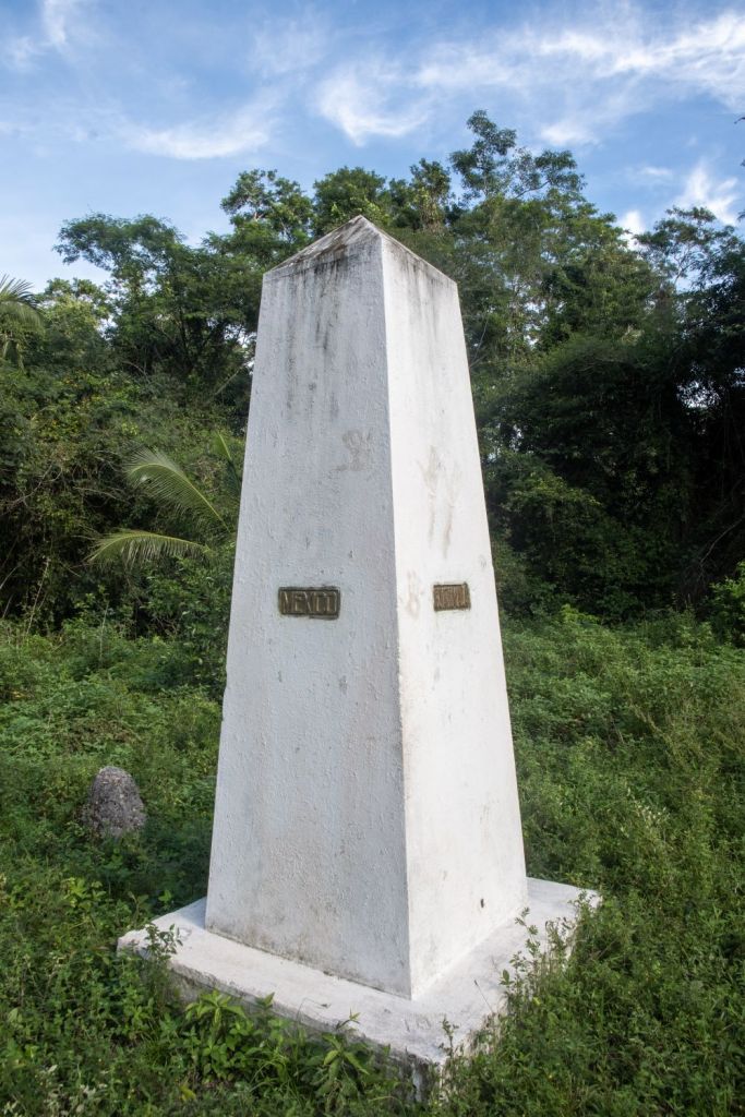

- The tripoint between Belize, Mexico and Guatemala is the toughest one I have ever visited. A 7 hour return trek through the Jungle and swamps to visit this remote spot. Details here
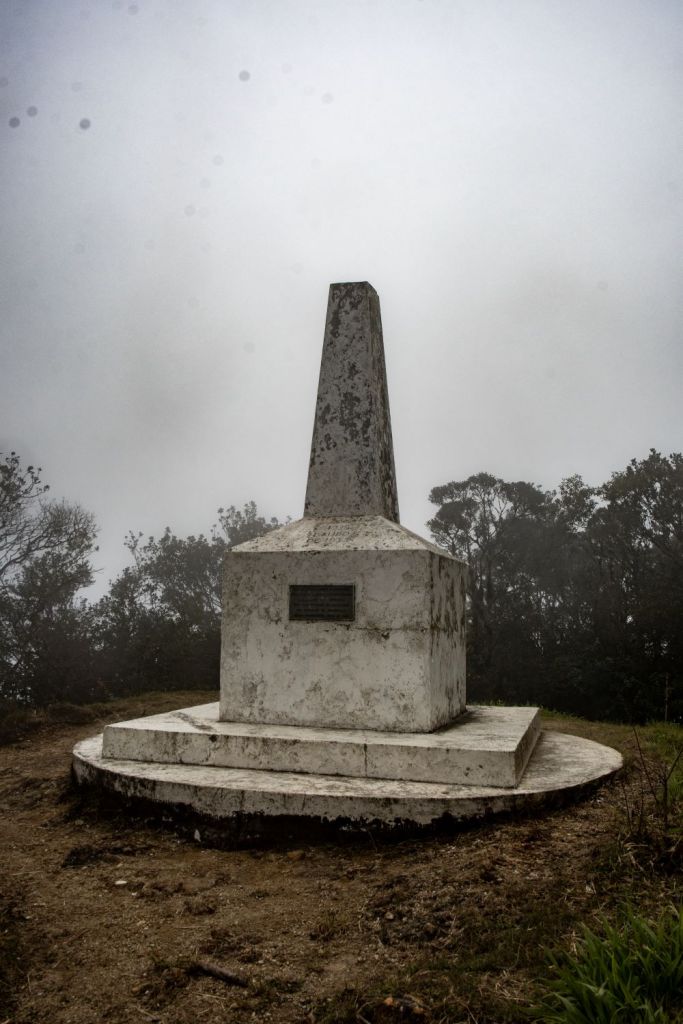
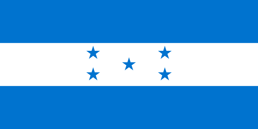
- The tripoint between Guatemala, Honduras and El Salvador is located at the summit of Cerro Montecristo (2418 m) in the Montecristo Massif. The tripoint is marked by a white tripoint monument close to a nearby observation tower that commemorates the establishment of the national park. Details here.
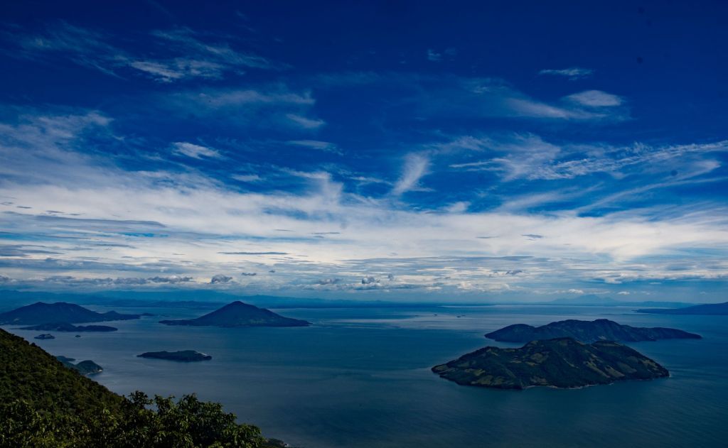
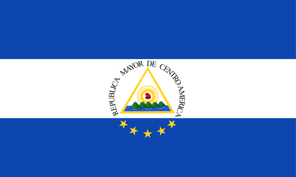
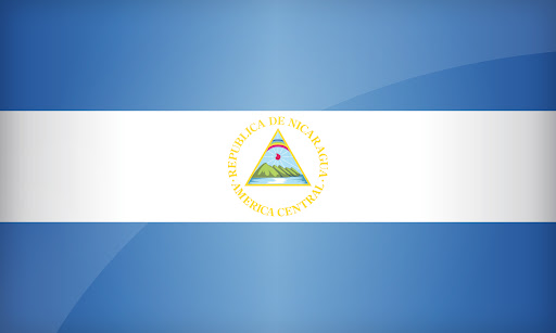
- The Gulf of Fonseca, a part of the Pacific Ocean, is a gulf in Central America, bordering El Salvador, Honduras, and Nicaragua. This is a very complex tripoint consisting of 2 shared tridominium areas. Details here.
- La Unión – Blue Creek Border Crossing is one of the strangest I have visited. Although there are plans for an international bridge, when we visited as part of IBRG CATEX-24 the link was via a small rowing boat. Details here. We crossed into Belize, over a closed border crossing by small boat. The officials were welcoming.
Updated Pages
3 updated pages reflecting my recent visit to Cyprus. Please click on the images below to access full reports with maps, analysis and photos.
CYBEX-24


- 1) Additional links and photos added to the IBRG page details here.
- 2) Update to the Cyprus country page with new photos, reports and links to individual POI’s. Details here.
- Update to the Oddities and Extremities page with new photos, reports and links. Details here.
CATEX-24
Please click on the images below to access full reports with maps, analysis and photos.
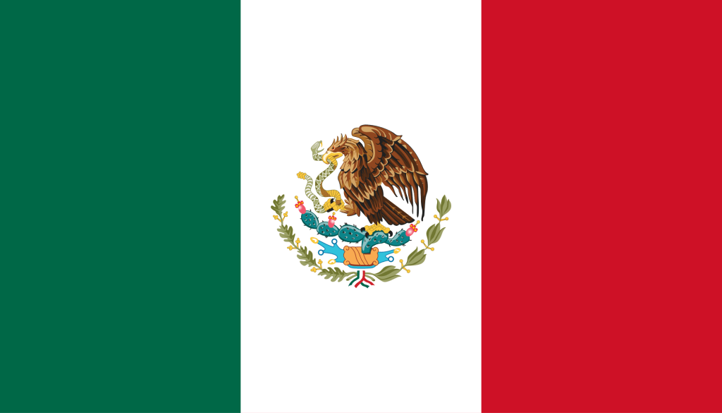
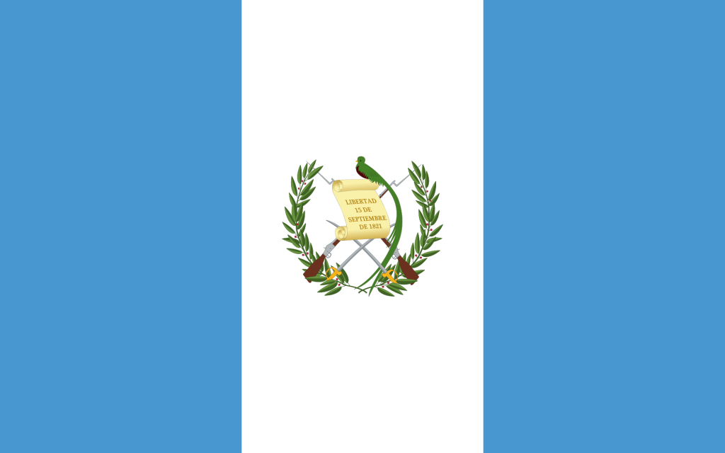
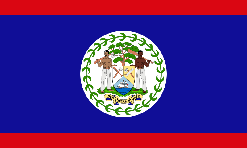
- Please click on the country flags above for updated pages including new maps, photos and links the border POI’s.
