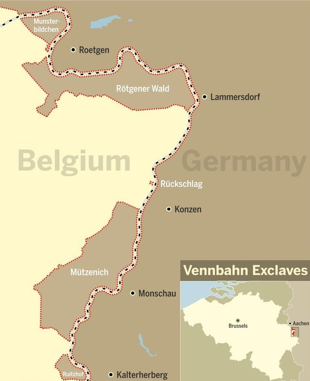
The Vennbahn is a former railway line from Aachen to Luxembourg. When built in 1889 the railway was located entirely in Prussia. Following Germany’s defeat in WW1 the areas of Eupen and Malmedy were added to Belgium in 1920 and 1921 through the Treaty of Versailles. In order to manage this now cross border railway the railway track was ceded in perpetuity to Belgium, thereby creating German exclaves cut off from Germany by the railway.
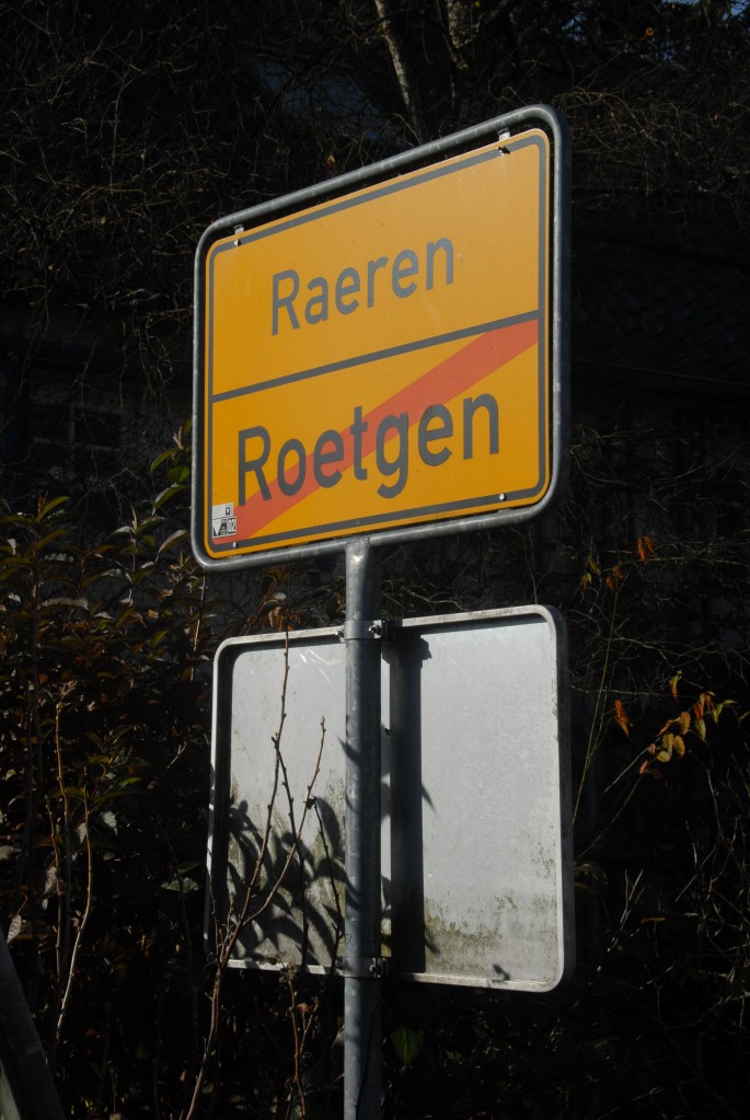
Currently, there are 5 exclaves remaining, following the selling and transfer of land leading to the enlargement of Rötgener Wald and the Hemmeres exclave disappearing in 1958. From north to south, the exclaves are: Munsterbildchen, Rotgener Wald, Ruckschlag, Mutzenich and Ruitzhof. More information about exclaves is available here.
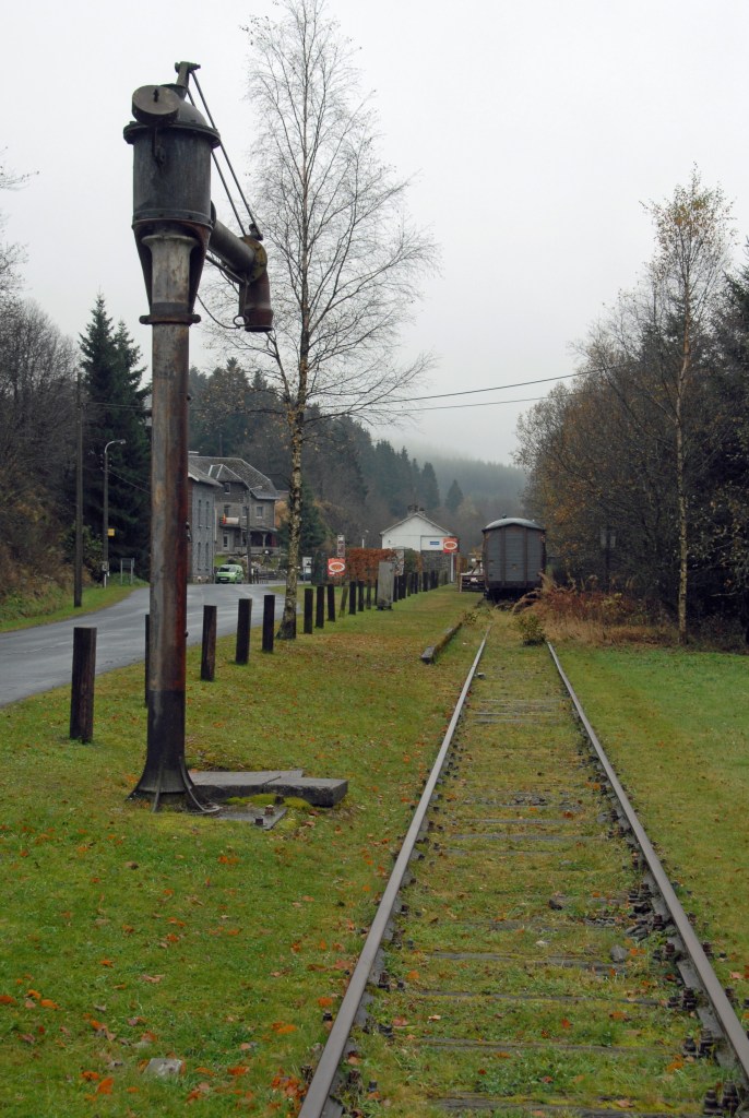
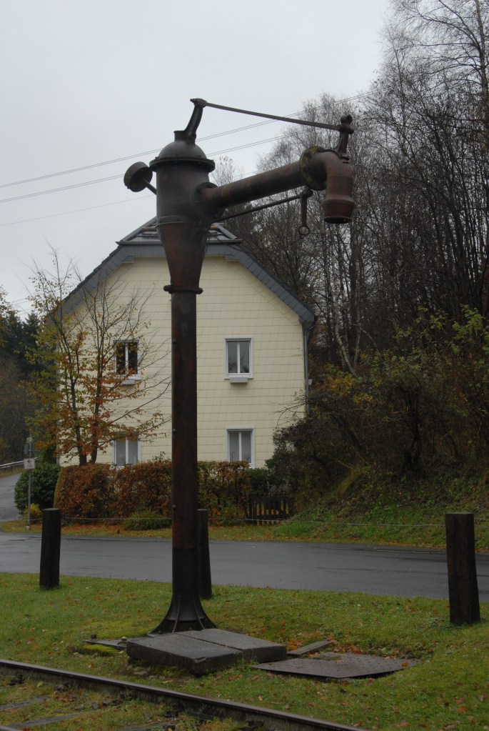
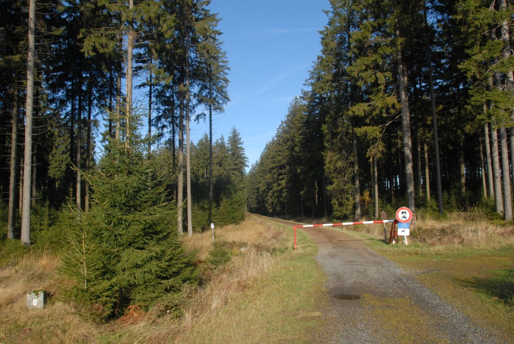
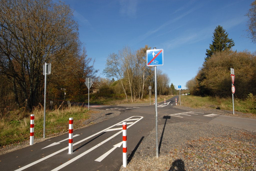
The railway was deemed uneconomic in 2008 and the track bed removed. Subsequently, the route has been reinstated as a cycle way, although there is a section of rail bike remaining. For earlier images please review the blog by Hugh Wallis (2007) here.
I have visited the area twice, once in 2012 and once in 2018 as part of the IBRG BELEX18 trip.
Vennbahn 2018 Visit
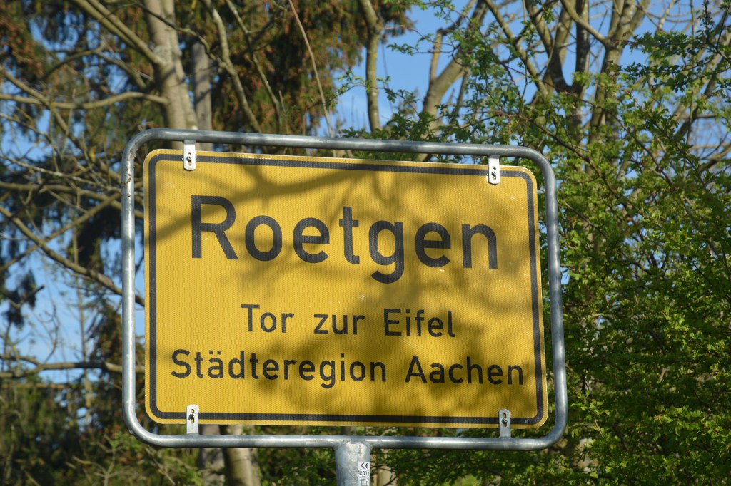
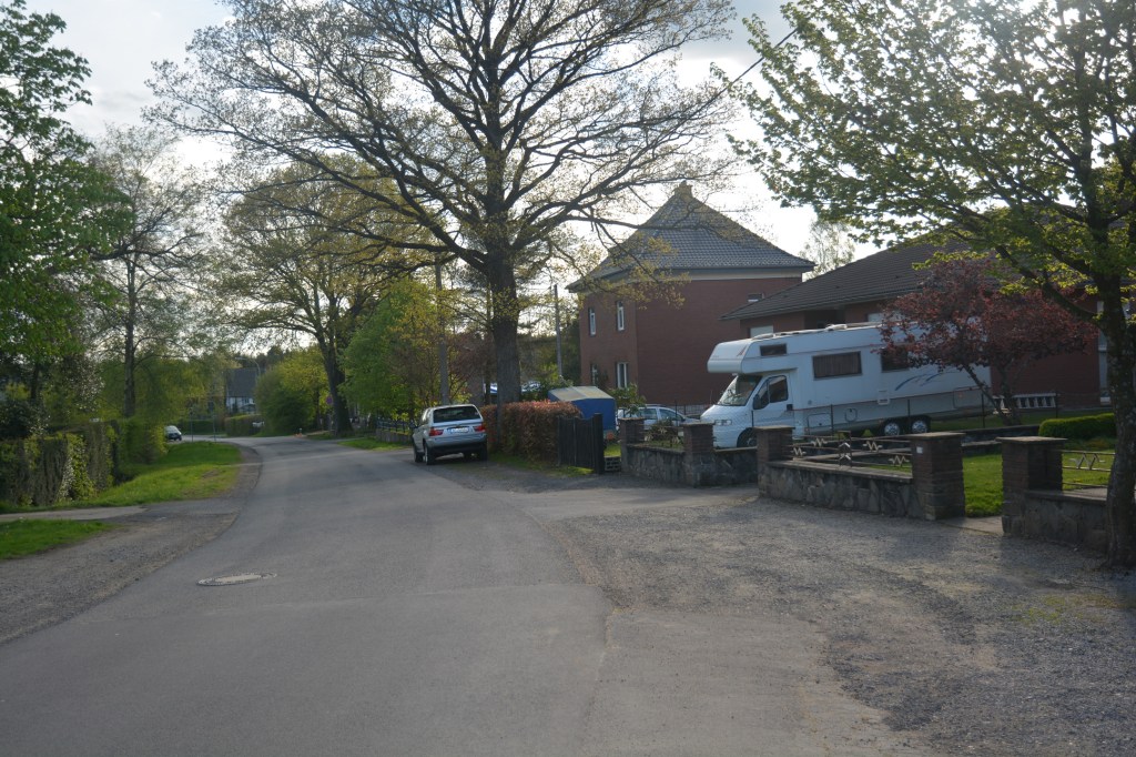
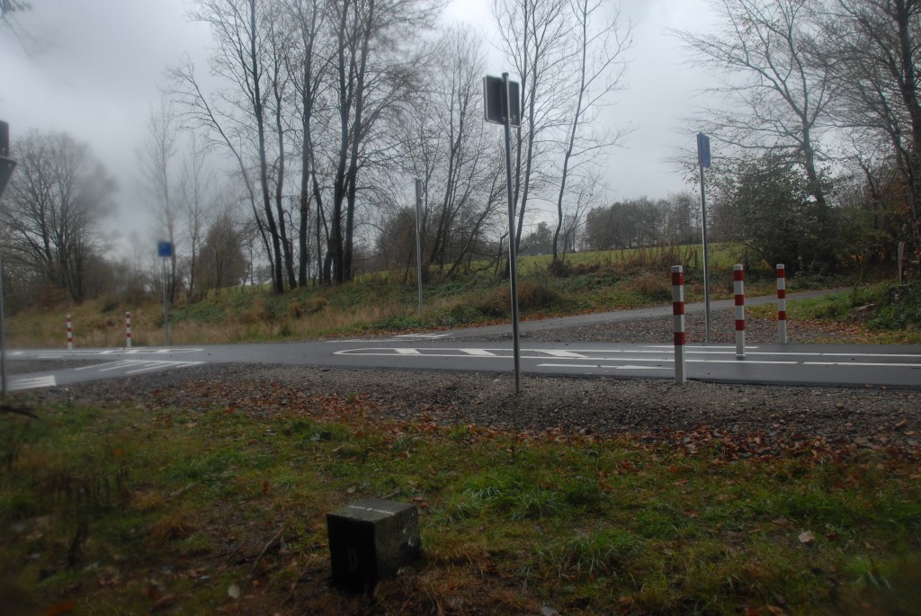
This point in Rötgener Wald where Mühlenstraße meets the cycle way is particularly interesting. The Belgian houses lay directly on the German border (which is the road). We spoke to a home owner about the logistical difficulties and jurisdictions – with the houses only being accessed via a “foreign” road.


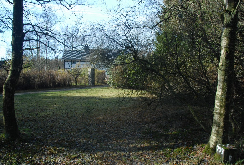
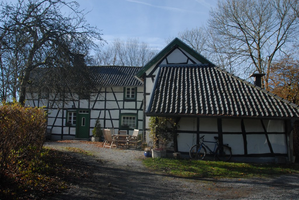
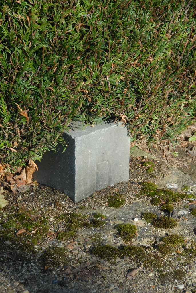
Rückschlag is one of the most interesting exclaves insofar as it is a single property. I visited here in 2012 but it’s still fascinating how the border is in effect the garden edge.


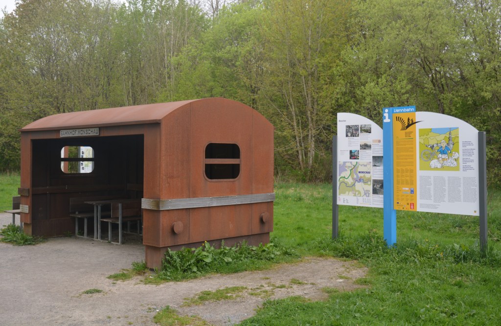
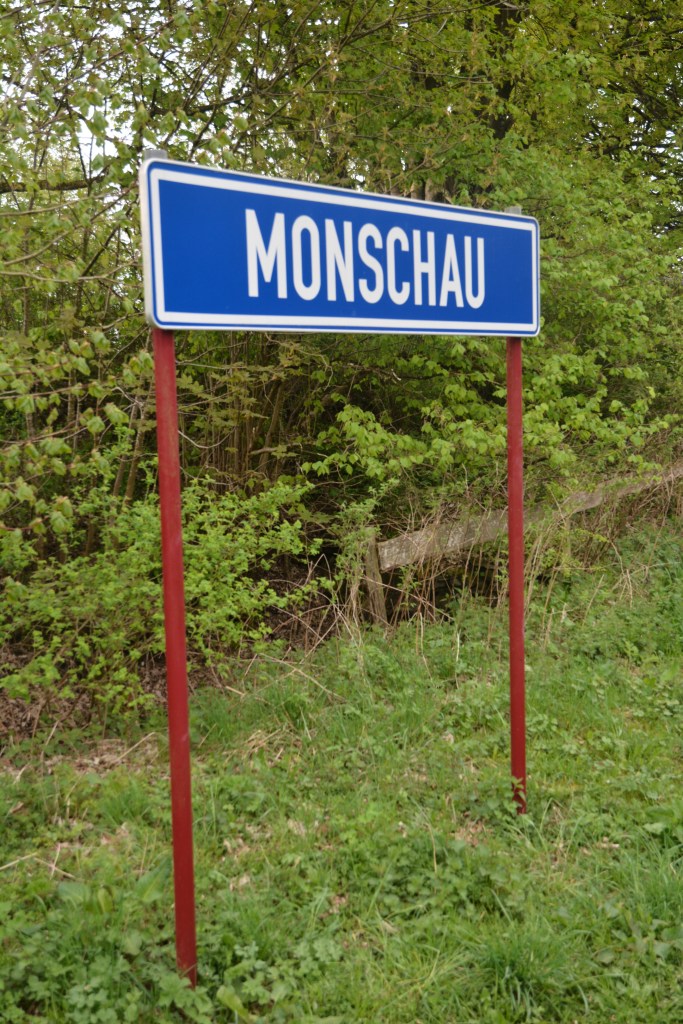
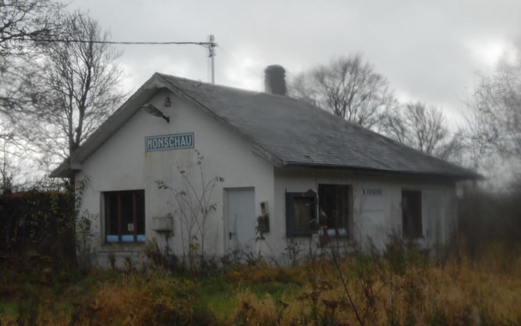
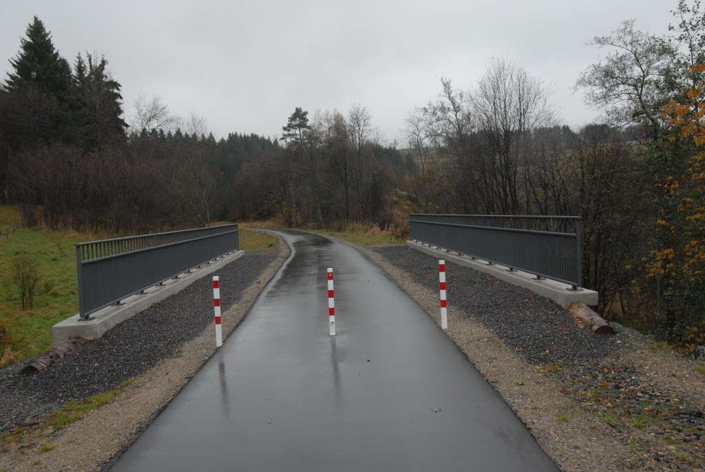
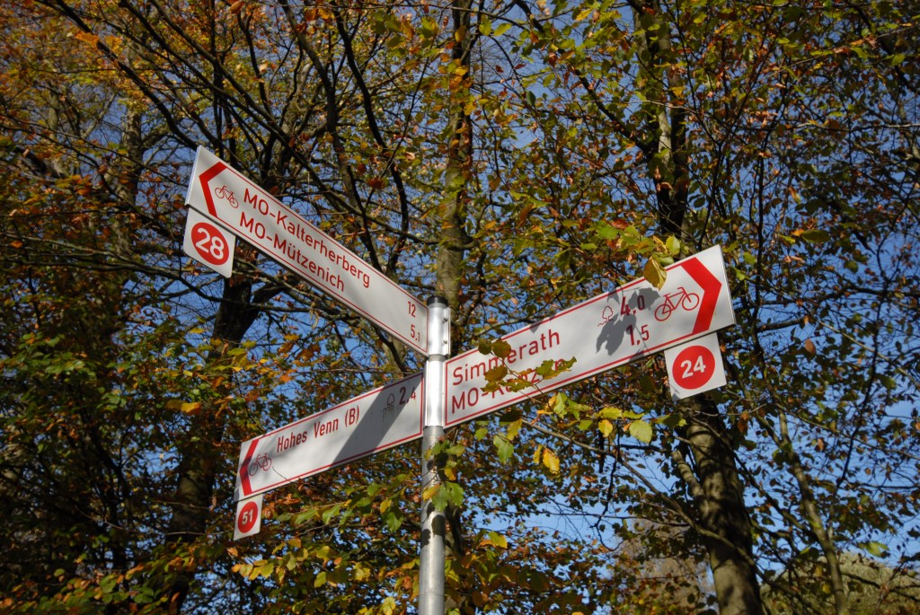
We travelled to the former stations at Monschau and Konzen. Old station buildings and a road crossing the cycle path at which point it enters Belgian territory for a few meters.


Vennbahn 2012 Visit
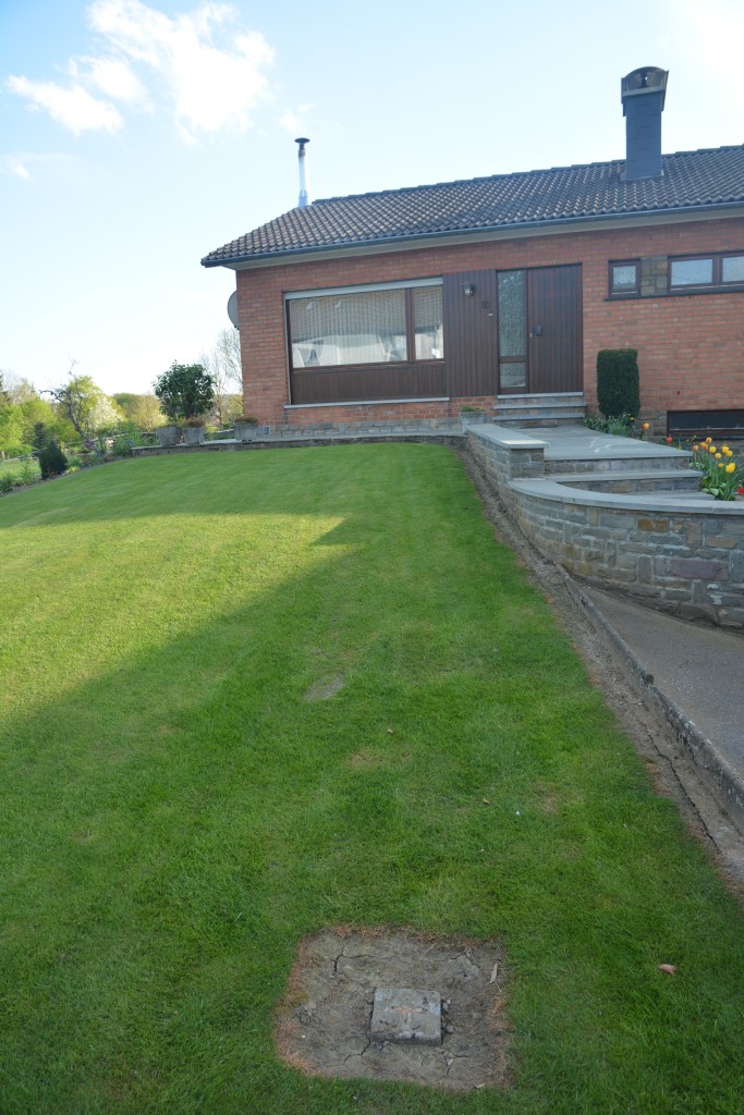
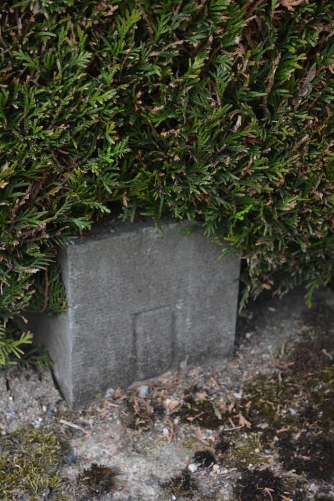
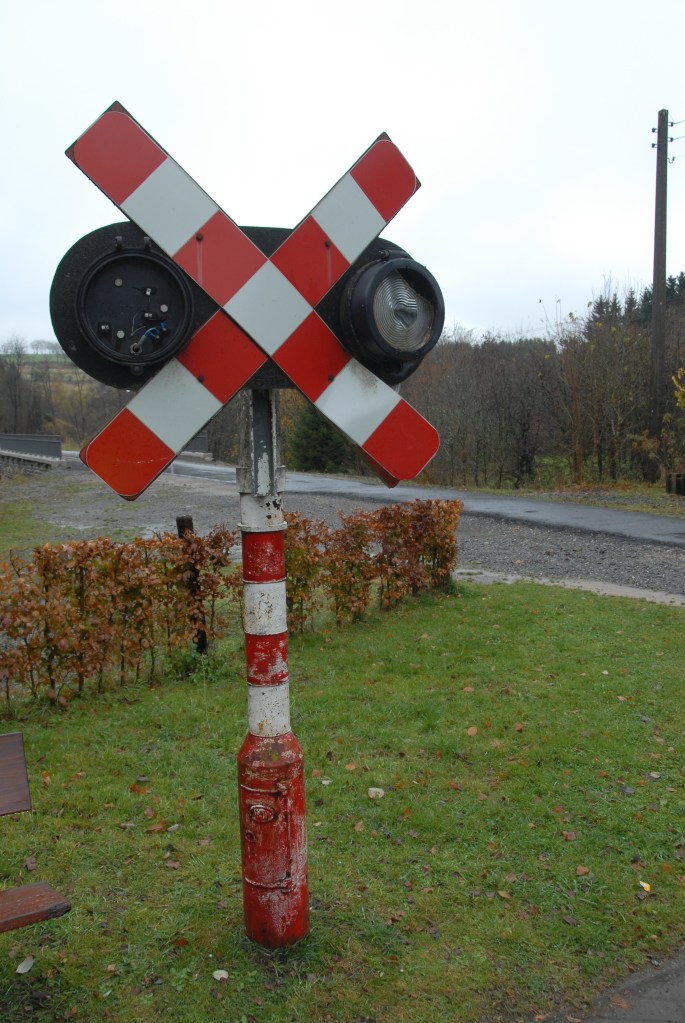
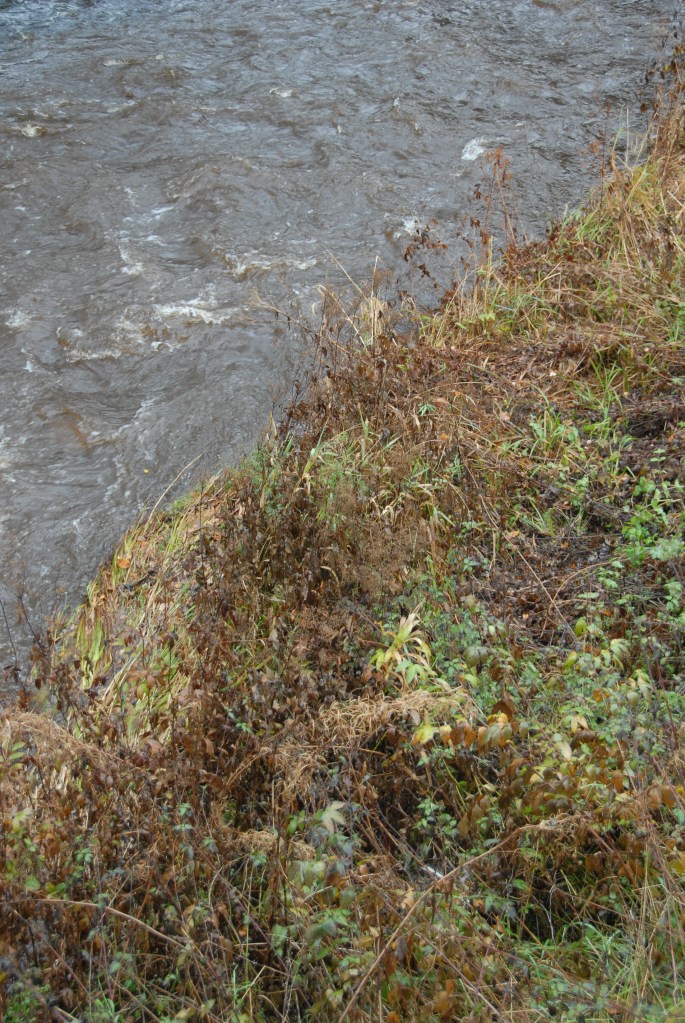
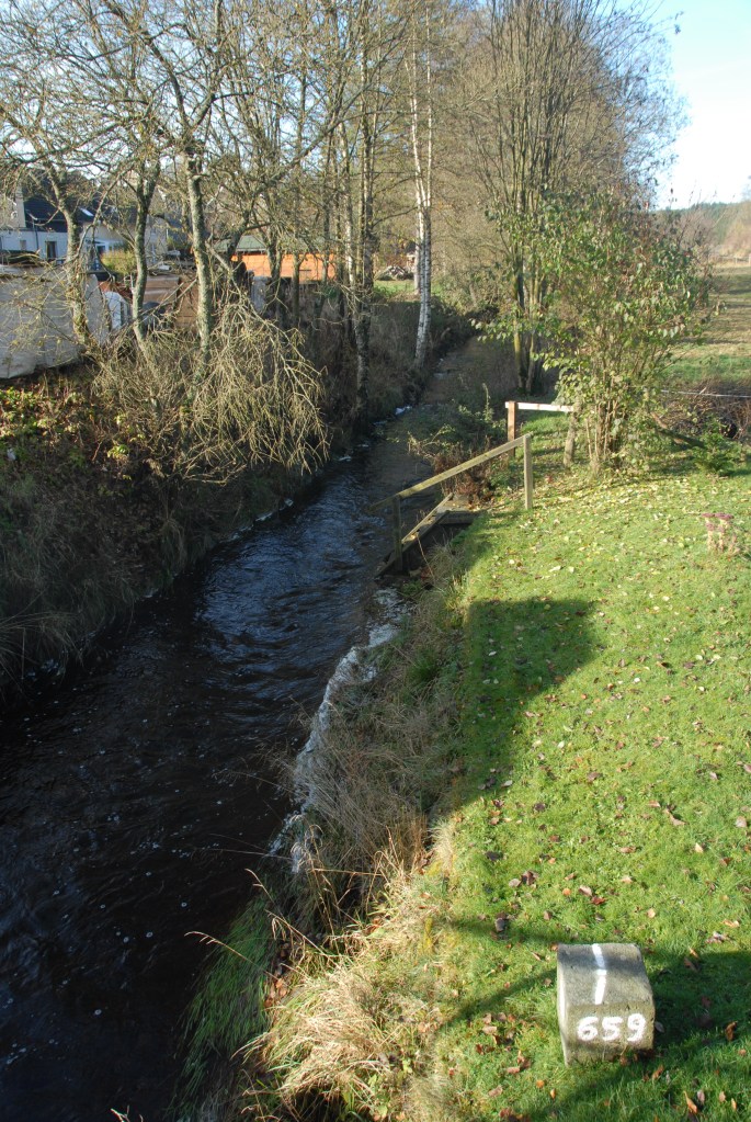
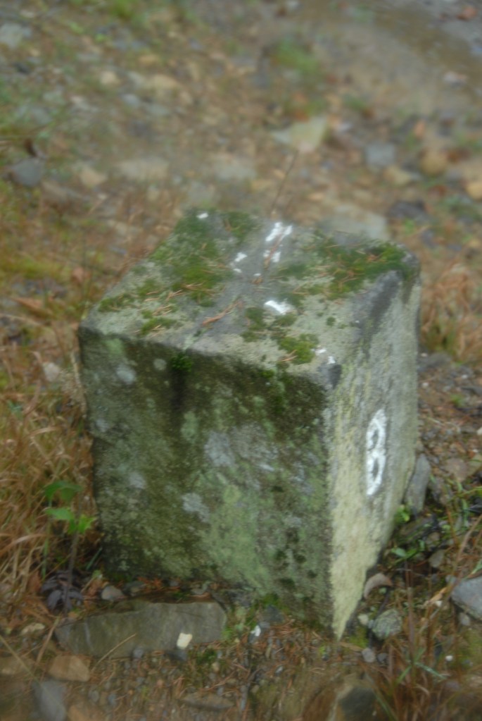
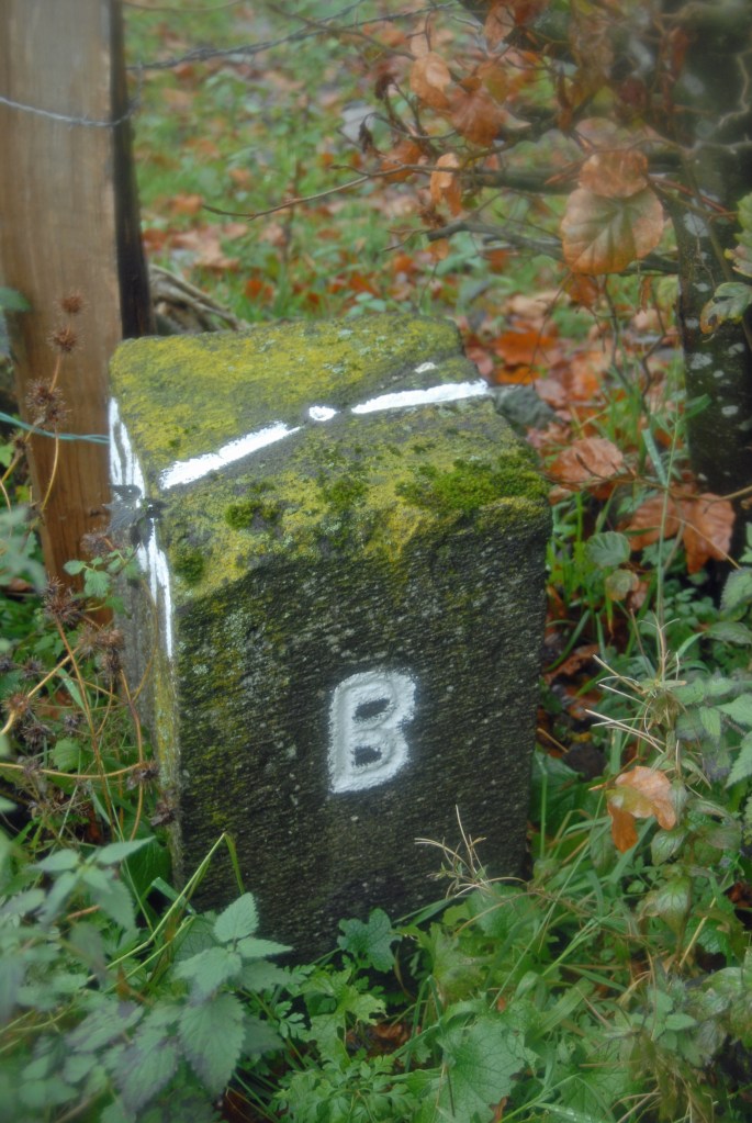
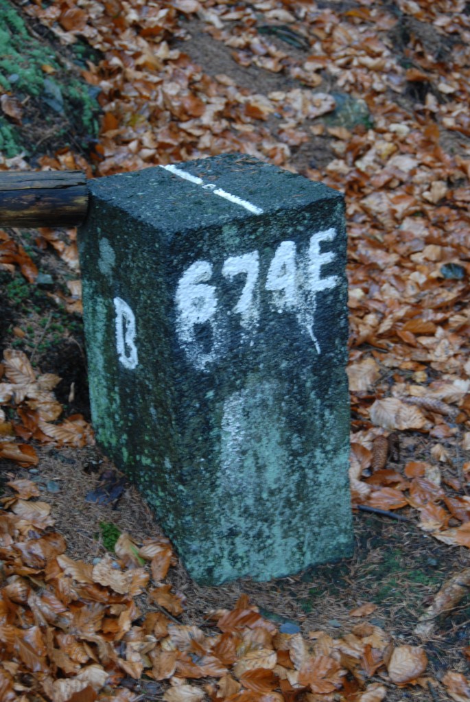
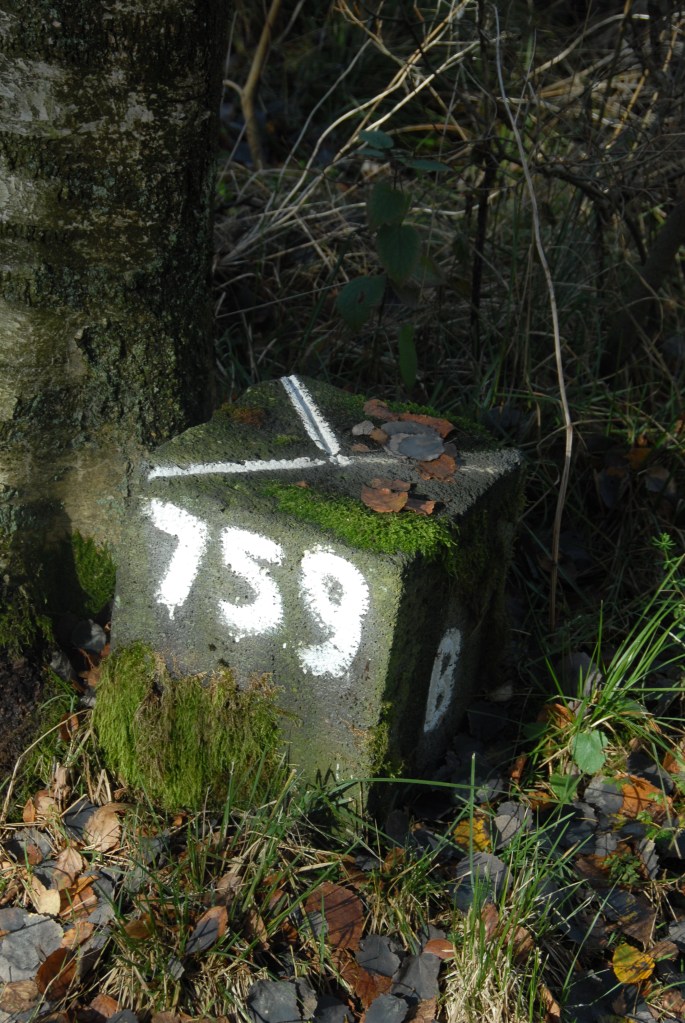
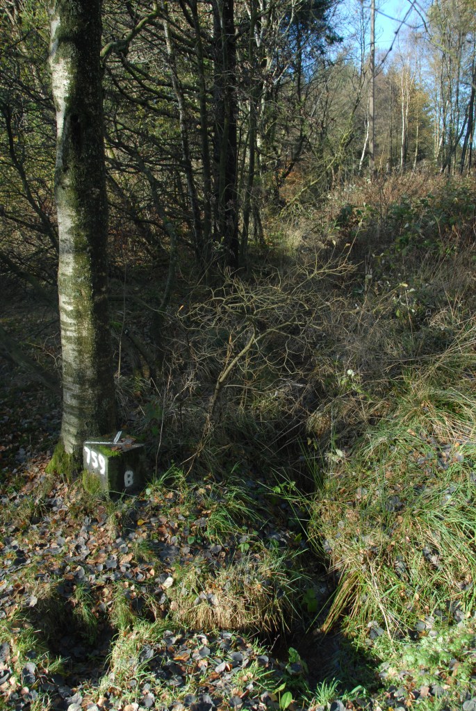
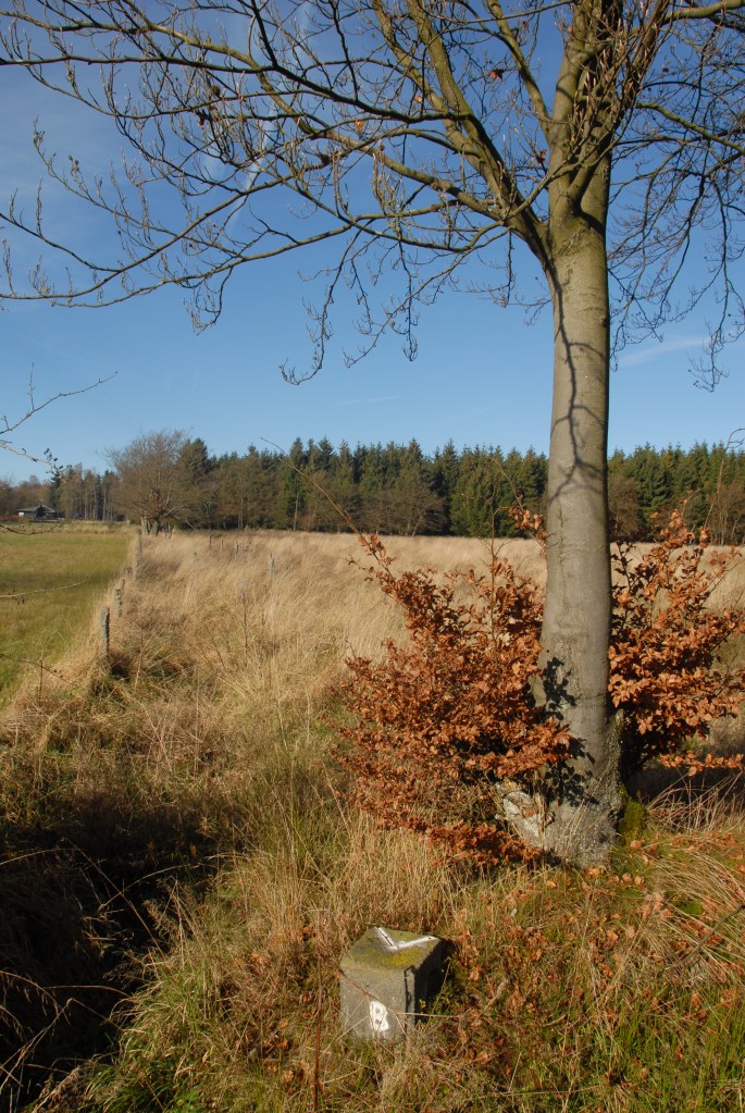
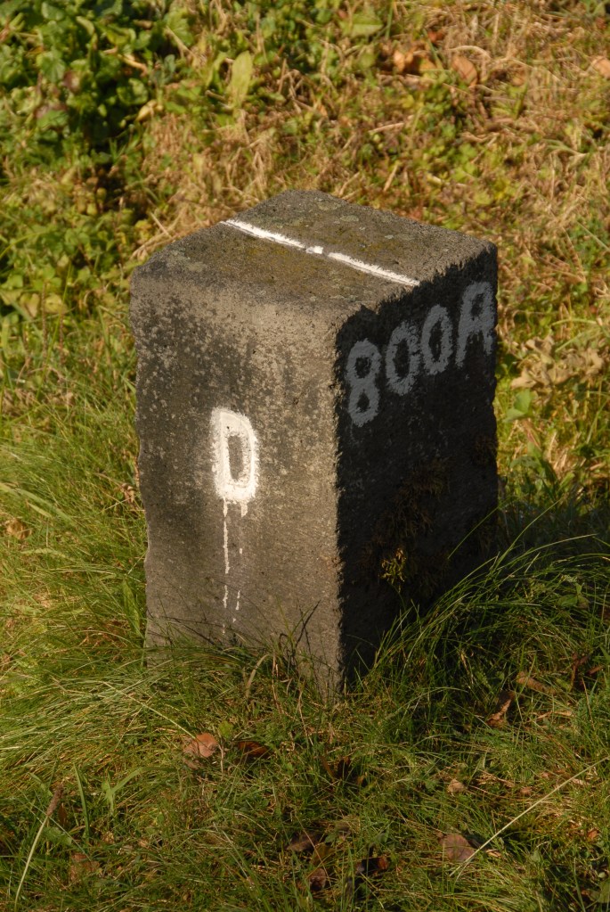
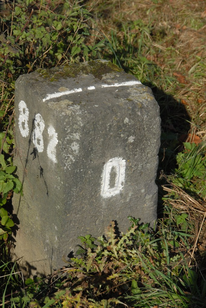
I spent a few days in the autumn of 2012 cycling along sections of the Vennbahn, spotting border markers and other points of interest. The cycle way and railway building all are Belgian territory, with German territory on either side.


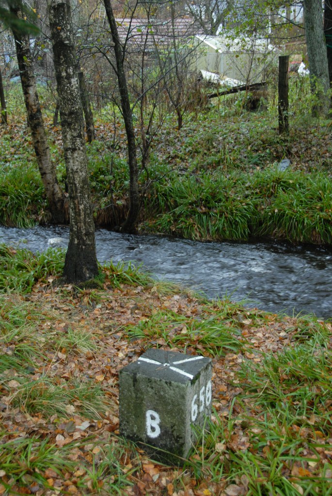
The next border marker spotted was BM 651 where the Leykauler Strasse turns right.


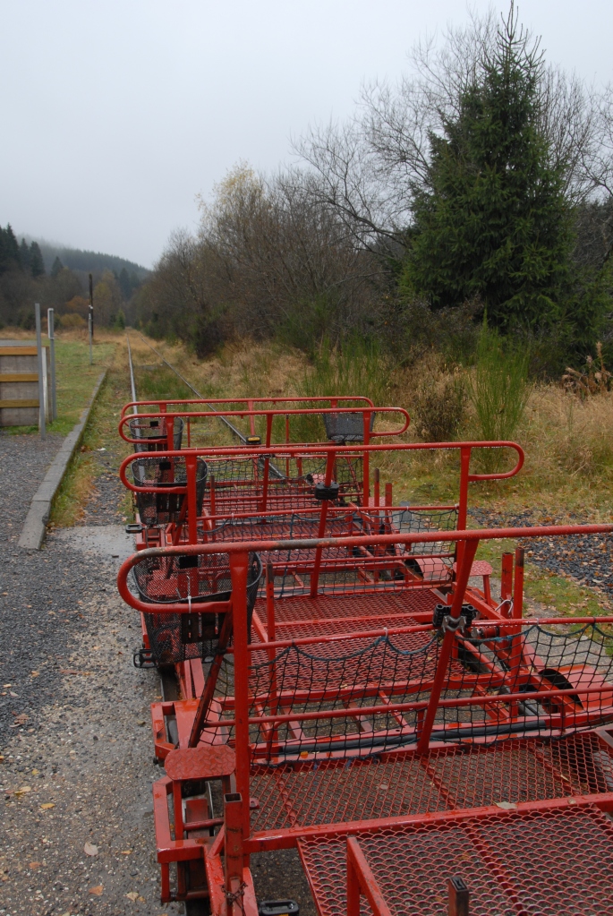
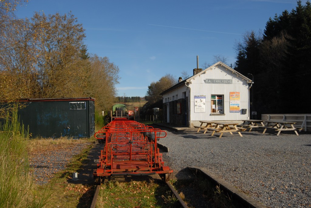
Kalterherberg Station
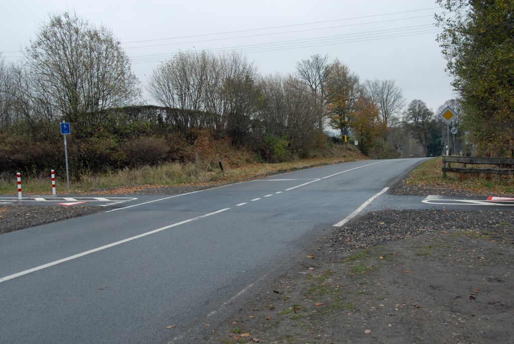
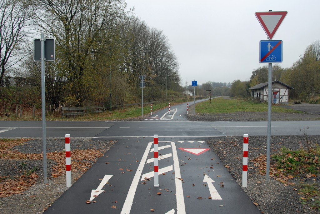
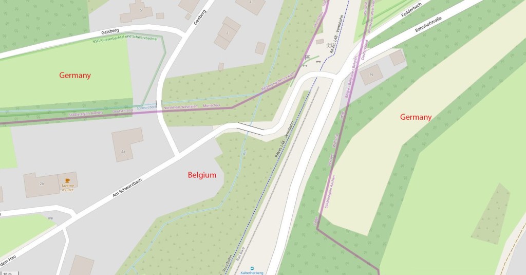
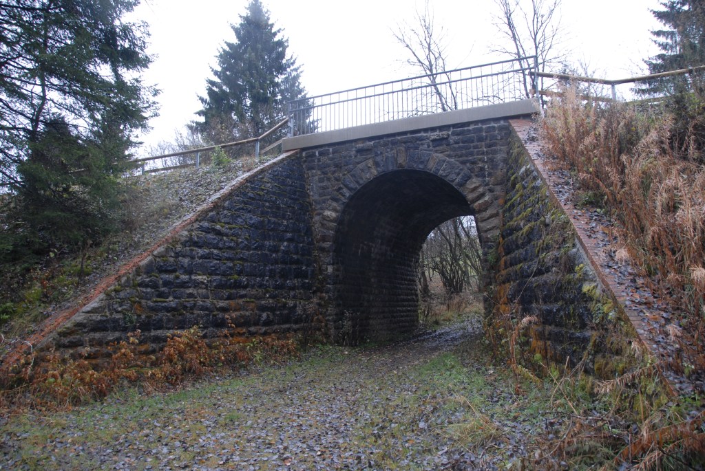
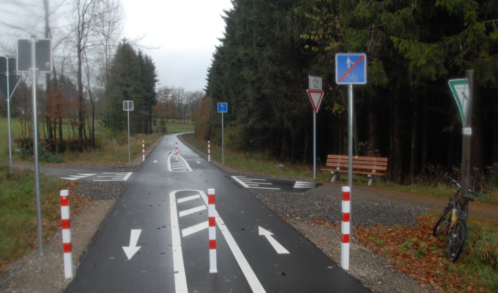
The area around the Kalterherberg Station is particularly complex. The station itself has the rail bike option and a lot of railway architecture. The are bridges across the rivers Rur and Schwarzenbach with corresponding border markers and the only entrance to the Ruitzhof exclave.
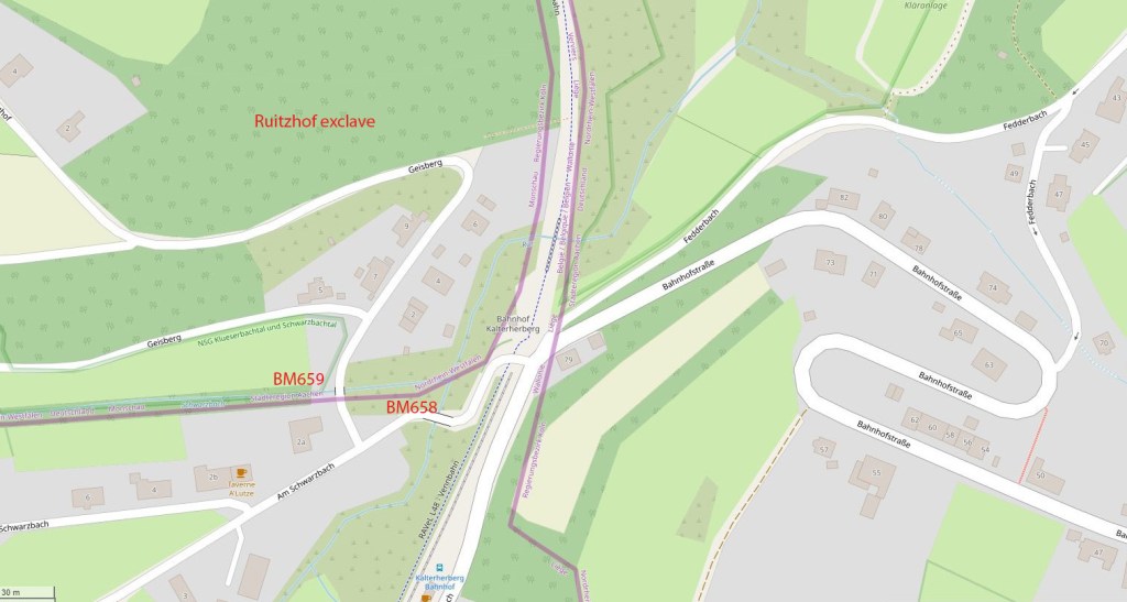


It is easy to lose ones bearings here with the Vennbahn merging into Belgium proper, hence getting to the Ruitzhof exlave involves turning into the only access road Geisberg. I also noticed that the German bus stop is in Belgium.


Ruitzhof Exlave
Entrance to the Ruitzhof exlave


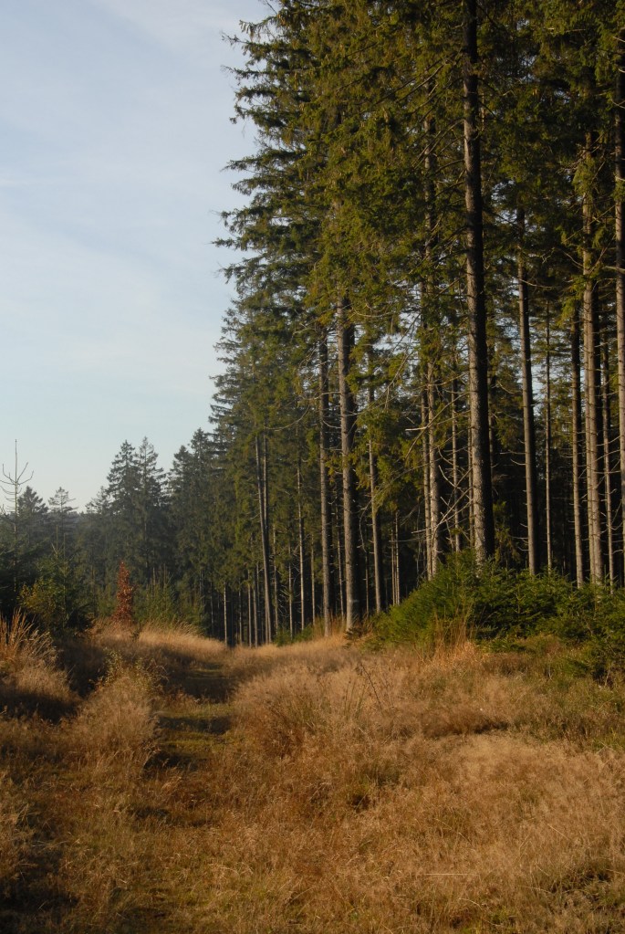

Riding along the Vennbahn
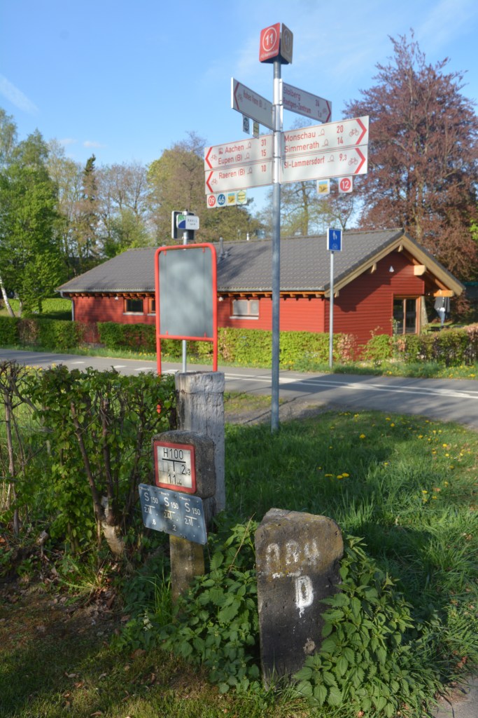
I was not systematic in terms of trying to capture every border marker. Jannis Deeleman has done a great job of doing that here. When I saw something that was interest I stopped.


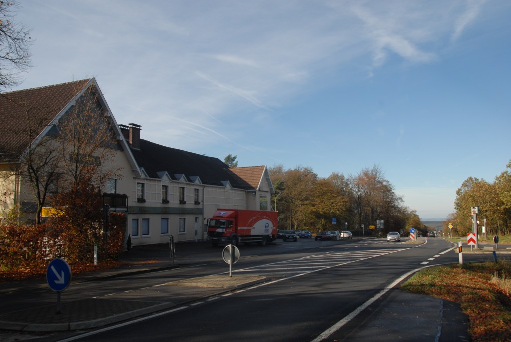
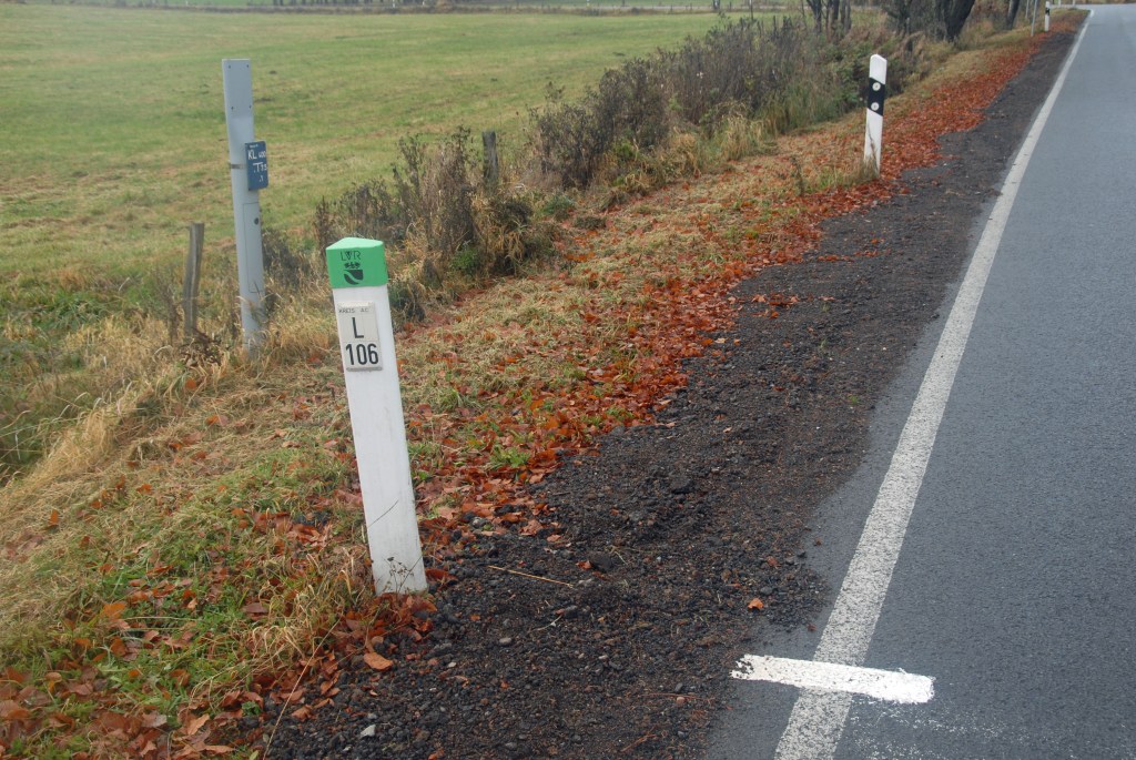
L106 German Road?
This question was posed by Hugh Wallis 2007 here. The map below indicates that the Vennbahn border follows the road whilst the other side of the road is Belgium proper. On the ground there was no indication of the road changing to Belgium and the road markers were German.


Rückschlag Exclave
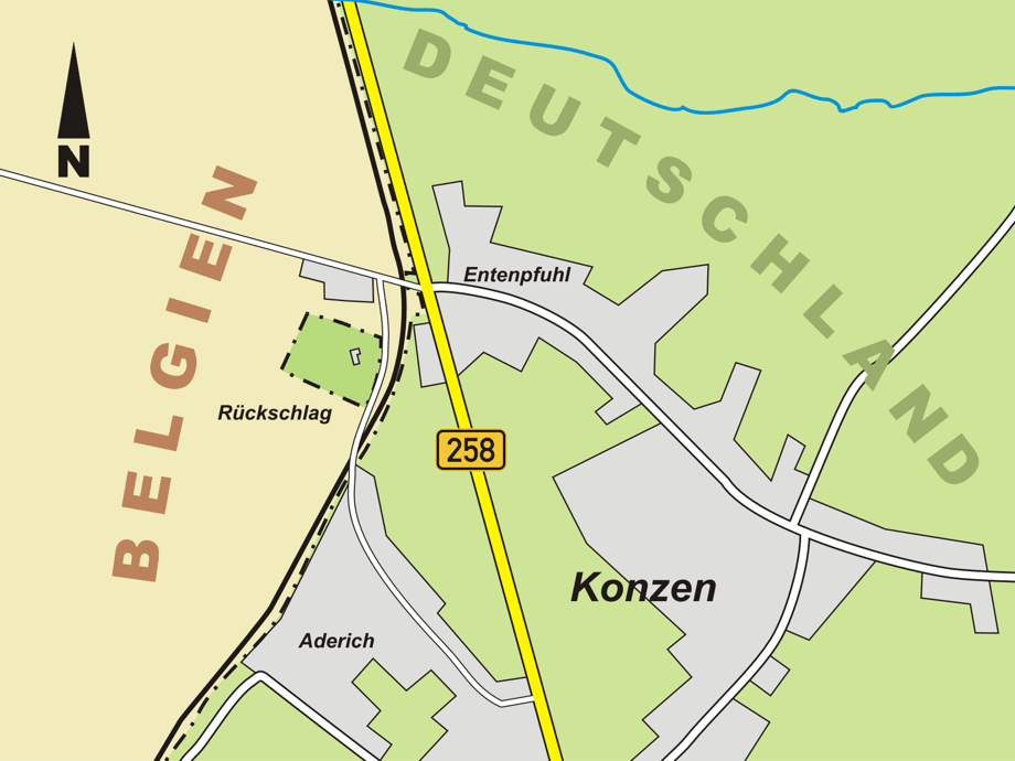
A single German farmhouse forms this exclave.
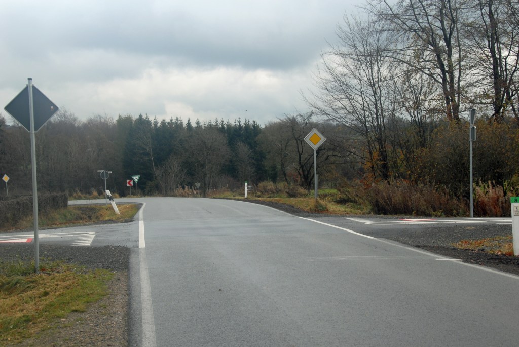
I found the intersections between the Vennbahn and roads and other paths interesting from a border perspective


Mühlenstraße, Rötgen
The Belgian houses lay directly on the German border (which is the road).


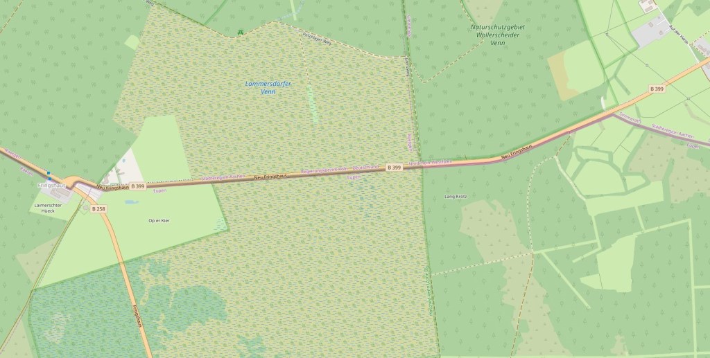
Fringshaus
This area is of interest because at one time it formed a Belgian counter-exclave from 6 November 1922 until 23 April 1949, while Germany owned the connecting roads that were part of the Roetgener Wald enclave. These roads met at a traffic island north of Fringshaus, with the 2,279 m2 island itself being a part of Belgium. This counter-enclave ended in 1949 when Belgium annexed the German roads that intersected at the traffic island. In 1958, when Belgium returned the east-west road to Germany, this traffic island also became part of the Roetgener Wald exclave. The road is still of interest as it crosses a small part of Belgium with no connection with the wider Belgian network.