
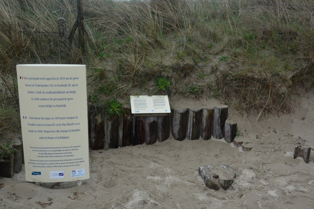
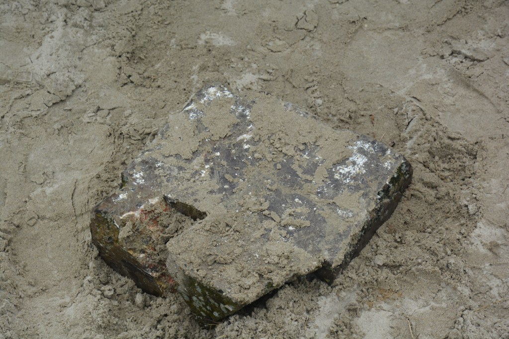
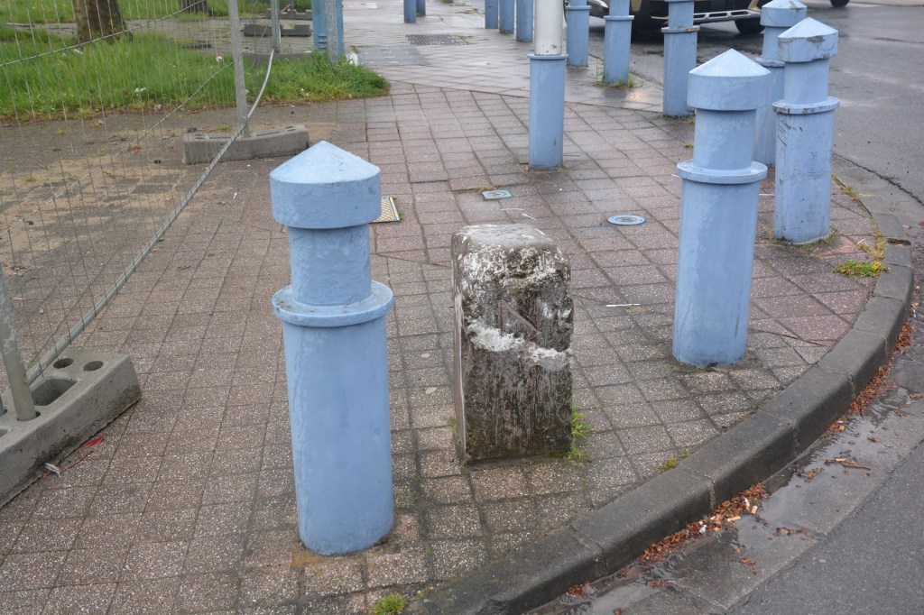
The border between Bray-Dunes (FR) – De Panne (BE) has existed since 1815. Napoleon’s defeat at Waterloo in 1815 put an end to the French occupation of part of the Netherlands which in 1830 would become Belgium. The Treaty of Kortrijk laid out the boundaries between France and the United Kingdom of the Netherlands. This treaty prohibits any construction less than 10 meters from the border and less than 5 meters from a shared road. This marker between Bray-Dunes and De Panne was erected in 1819 to mark the border between France and the Netherlands at the time. It is the starting point on the coast of the 620 km border between France and Belgium which ends at BEFRLU near Athus and Mont-Saint-Martin. I visited this border as part of the IBRG BELEX18 trip on a very wet and windy day. No chance to dig the border marker out of the sand. It is marked with 1819 and F and N.
It marks the northern most point of metropolitan France and the western most point of Belgium. More border extremities can be found on my Oddities and Extremities page.
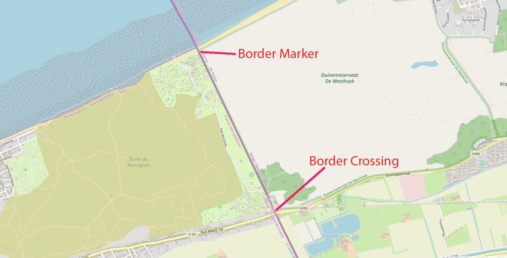


Road Border Crossing


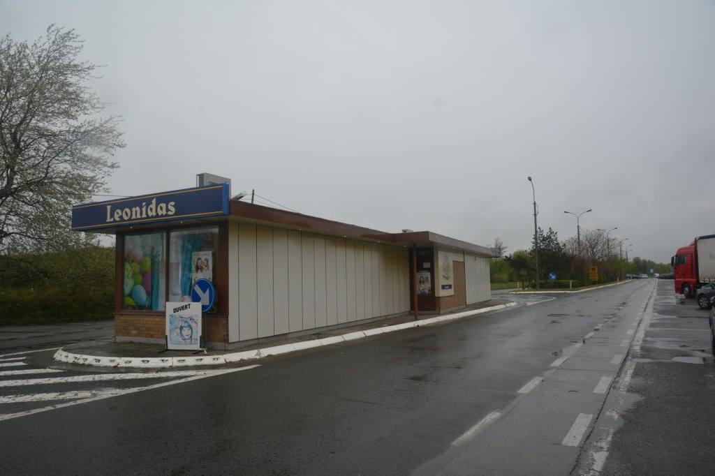

Date of Visit: 29.04.2018

Awesome blog you have heree
LikeLike