
The southernmost tripoint in the world
The tripoint between Argentina, Brazil and Uruguay is fascinating. It is the southernmost tripoint in the world and the third “compass point” tripoint I have visited (FINOSE being the northernmost tripoint and HNNISV being the westernmost tripoint). The tripoint location is contested with Brazil and Uruguay disagreeing on its location due to the long-standing territorial dispute involving Ilha Brasileira. A rarely visited tripoint with limited information on the internet. I visited this point as part of the IBRG SATEX-25 expedition. This is Tripoint #37 for me. My other Americas tripoint visits are reported here.
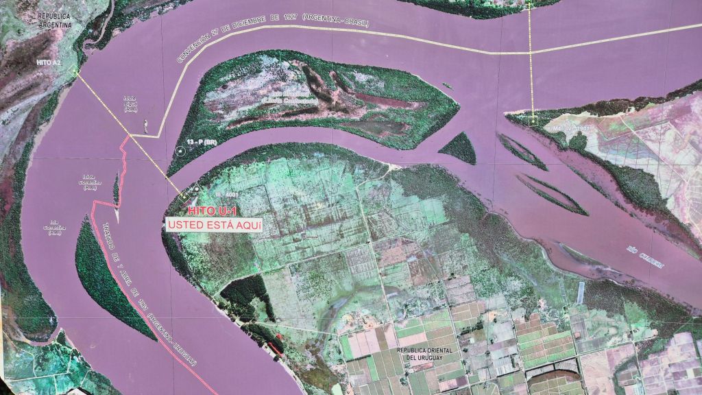
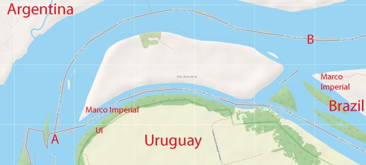
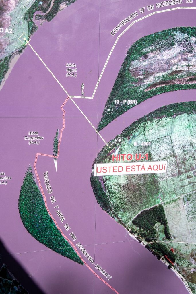
The map below indicates the relative position of markers within the tripoint area. Both maps have slightly different interpretations of where the intersection between the borders should be. Position A is the Brazilian position whereas Position B indicates the Uruguayan.
Contested borders
The boundary disputes relative to the Brasilera Island result from different interpretations of the Brazilian – Uruguayan boundary treaty of October 12, 1851. The 1851 treaty states that the island or islands in the mouth of the Rio Quarai belong to Brazil, but Uruguay claims that Brasilera Island is in the Uruguay river and does not belong to Brazil.
In an Argentine – Uruguayan treaty signed on April 7, 1961, the Government of Uruguay restated its contention that the Island was theirs, stating that the island was not located at the confluence (mouth) of the Quaraí and Uruguay rivers, but rather that it was downstream from that point, therefore belonging to Uruguay. In 1974, the Uruguayan government issued a decree stipulating that official maps produced in the country should mark the island located at the mouth of the Quaraí River as a “disputed boundary .” Although multiple objections have been submitted by the Republic of Uruguay, Brazil has never given an official response to this dispute and consider it a non issue.
Brazil therefore maintains full and effective sovereignty over it. Brazilian authorities assert that the island lies within the municipality of Barra do Quaraí, in the state of Rio Grande do Sul, while Uruguayan officials have historically included it as part of Bella Unión, in the Artigas Department.
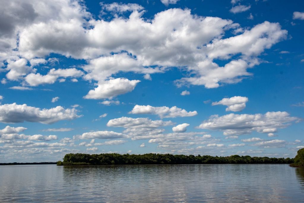
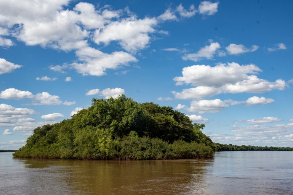
The island is uninhabited with the sole Brazilian farmer leaving in 2011, despite the disagreements the relationship between the 2 countries is friendly. Locally, there are projects aimed at turning it into a municipal environmental reserve.
Our Tripoint Visit
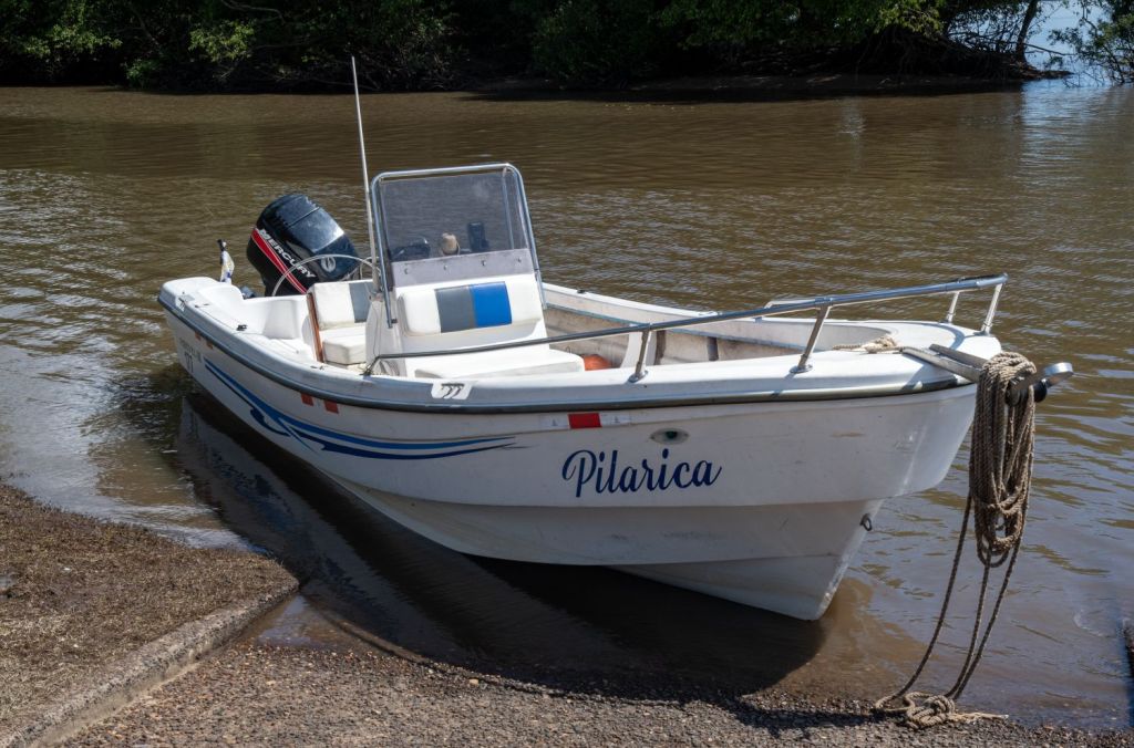
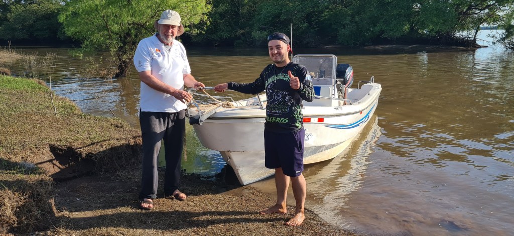
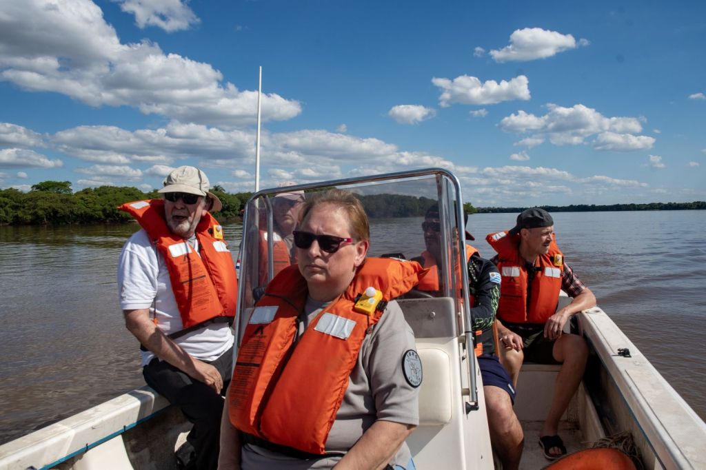
We based ourselves in Bella Unión which is slightly closer to Asunción, (capital city of Paraguay) than to its own capital, Montevideo. Our hotel HAS Hotel Boutique was able to arrange a boat trip to the tripoint area with Aventura Náutica.

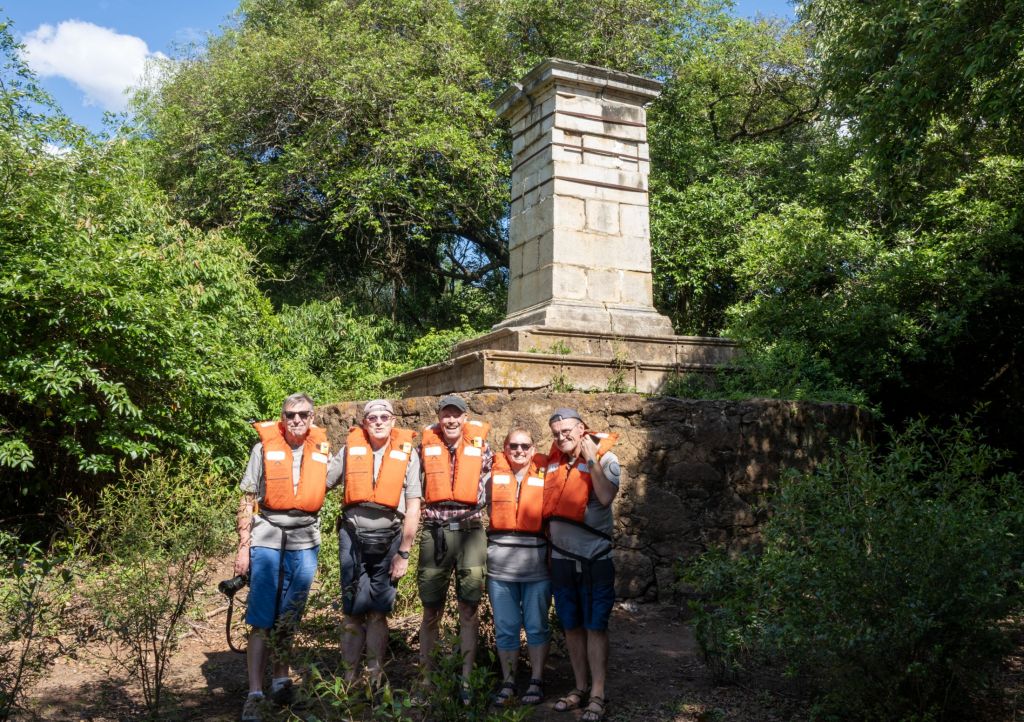
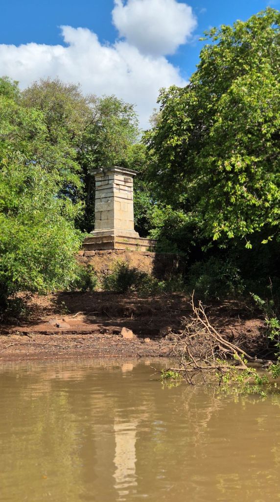
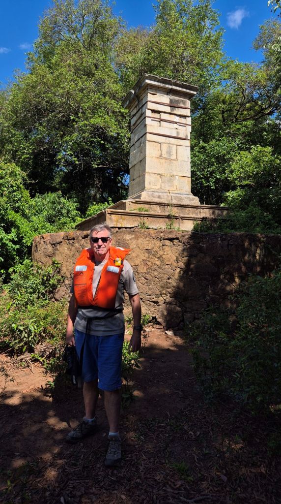
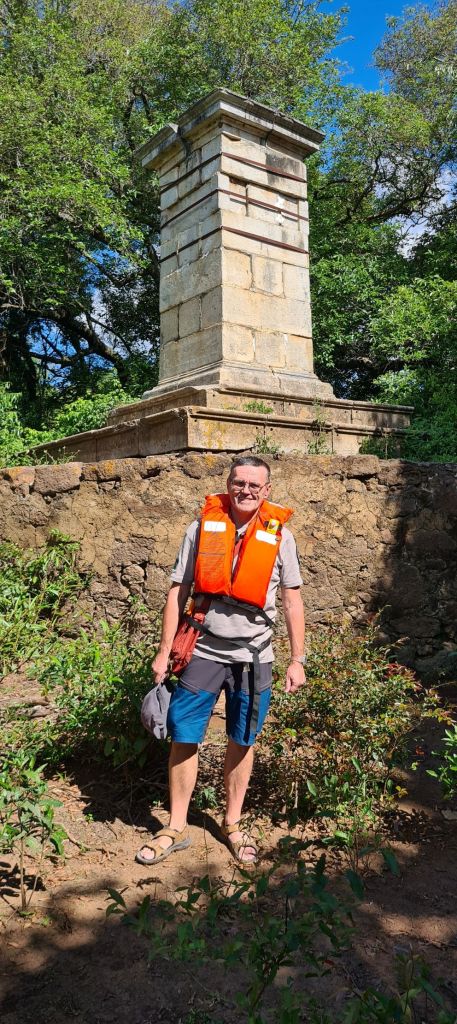
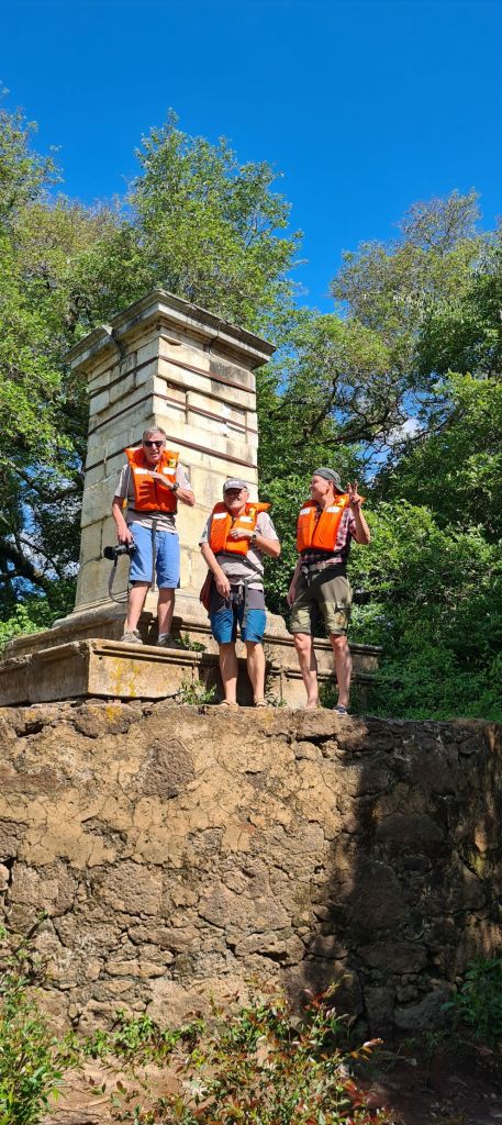
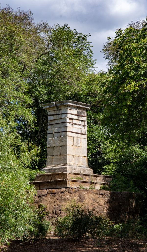
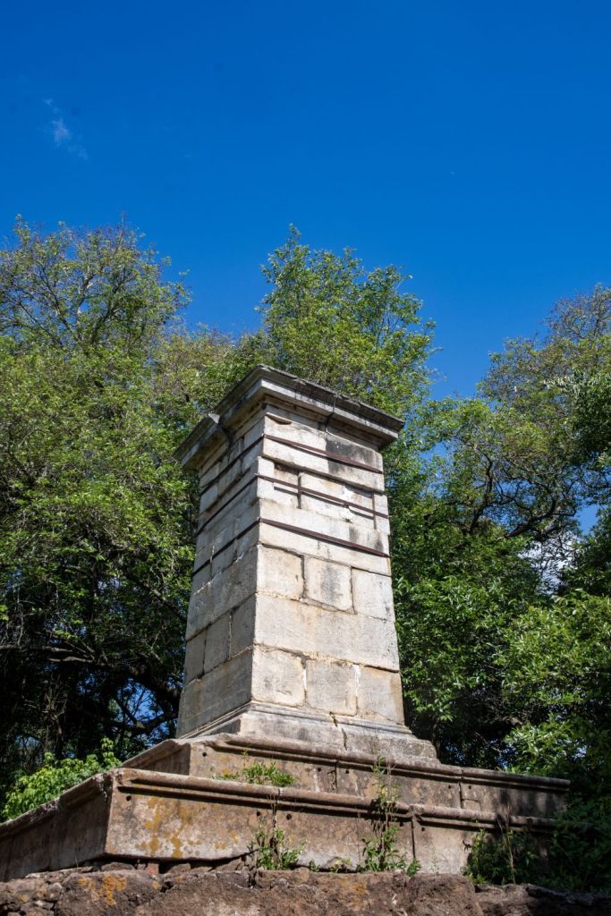
Marco Imperial
Our first objective was the Marco Imperial, bult in 1862 this marble monument marked the border of Brazil and is the closest border marker to the tripoint (Position A), there was a genuine sense of excitement as we saw the monument for the first time. The visit became more memorable when standing on the monument we were attacked by a swarm of bees!
ARBRUY Tripoint (Position A)
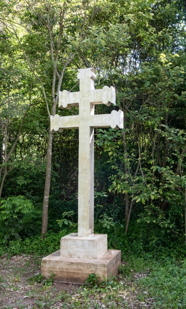
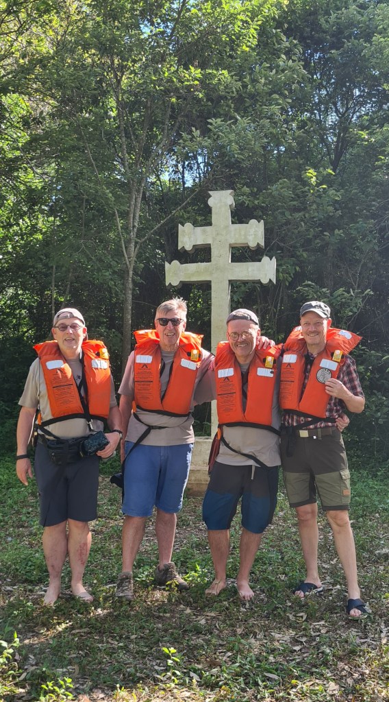
Missionary Cross
The missionary cross was our second POI on the island. The first such cross built on a Brazilian Island it is used on special days for religious services which are attended by pilgrims from the 3 countries.
ARBRUY Tripoint (Position B)
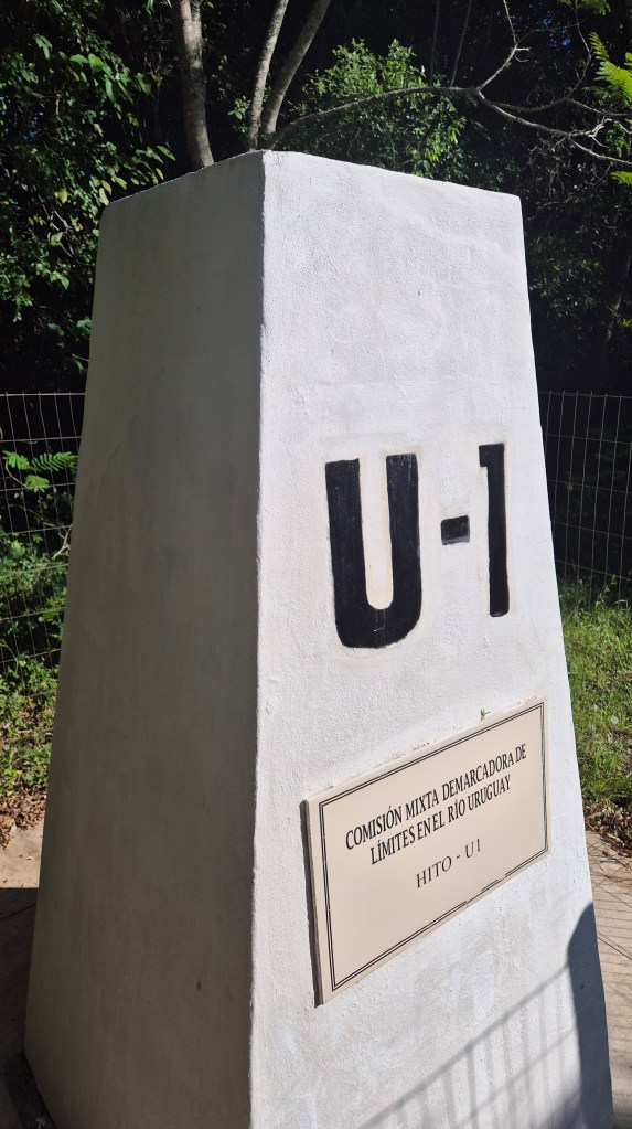
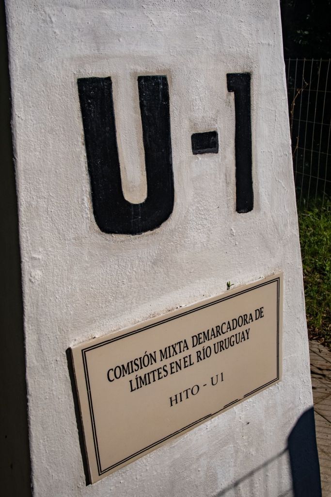
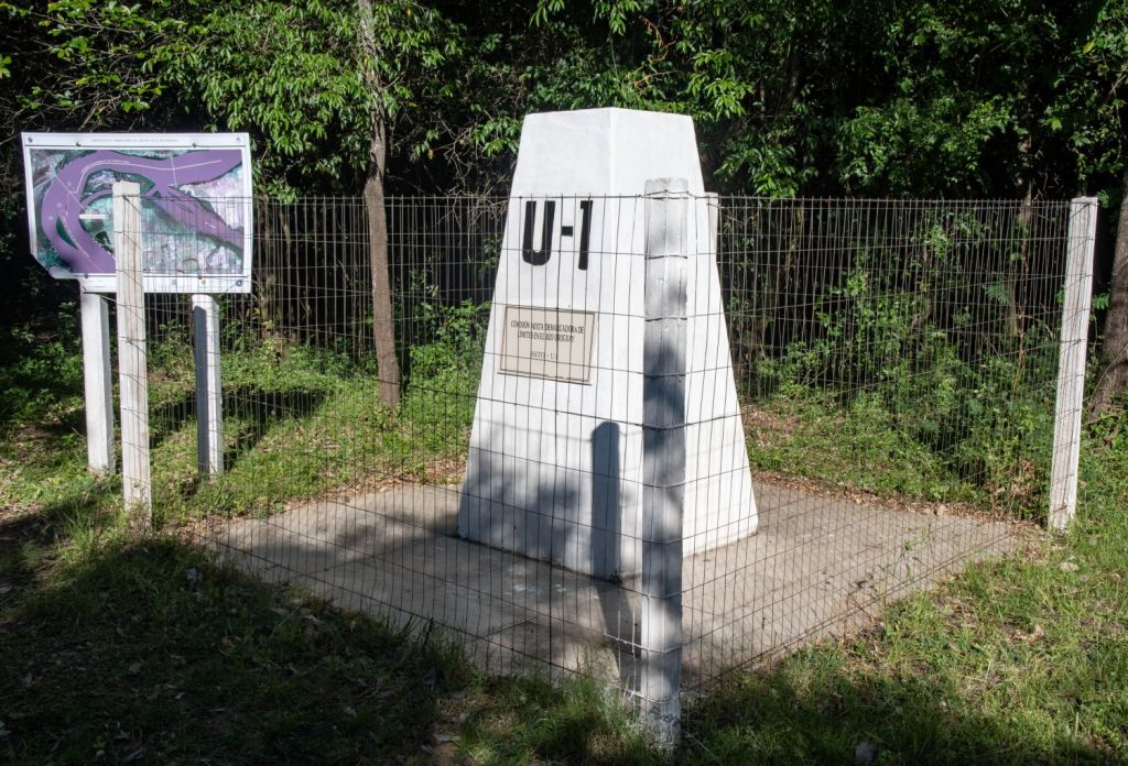
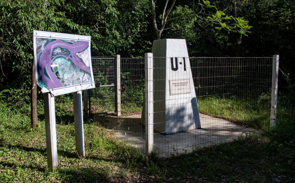
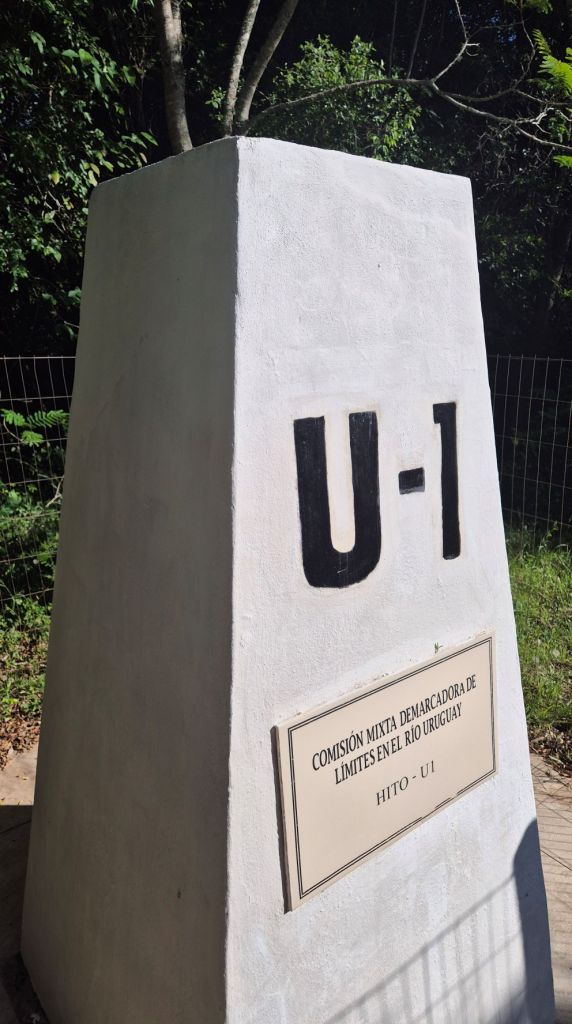
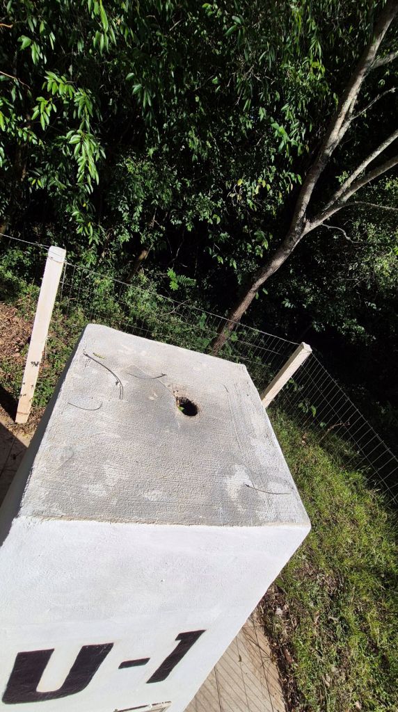
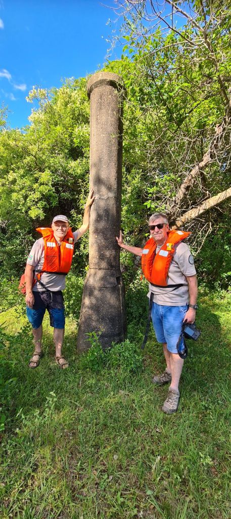
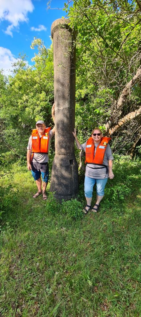
Hito U1
This was an unexpected aspect of our trip as we were unaware of this monument. There is limited information regarding this marker, but appears to be a hydrostatic marker, one of 4 which define maritime limits with neighbouring countries, managed under joint treaties. The map above indicates the treaties Uruguay has with Argentina in 1961 and Argentina has with Brazil in 1927. Marco Imperial is designated as 13-P. The treaty between Uruguay and Brazil in 1851 is not referenced due to the differing interpretations between the 2 countries. The Uruguayan skipper was insistent that island belonged to his country.
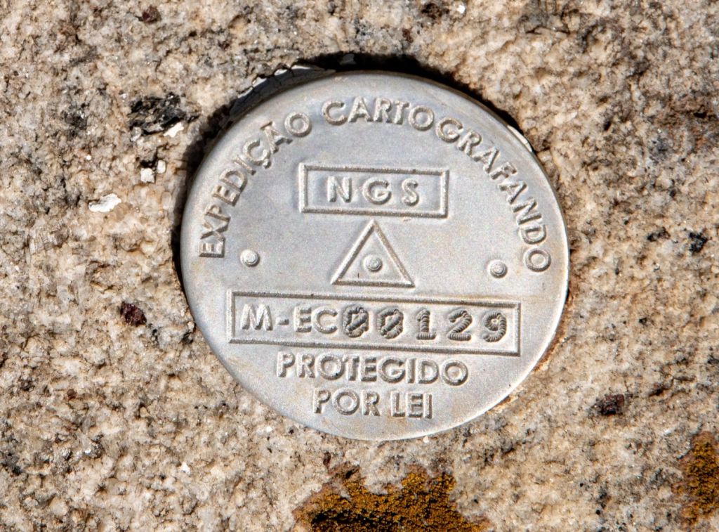
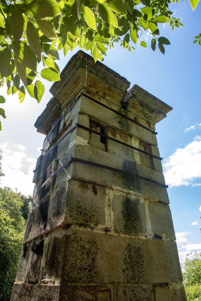
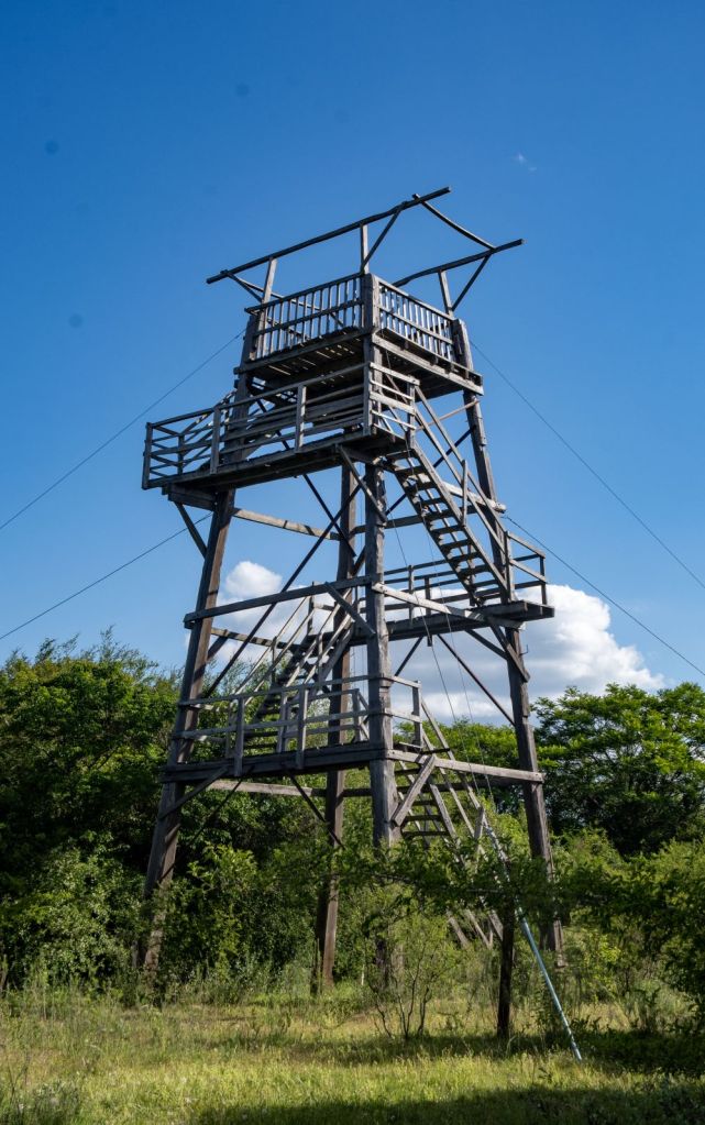
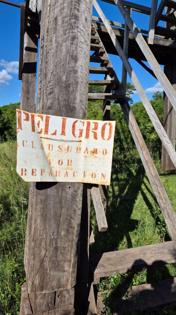
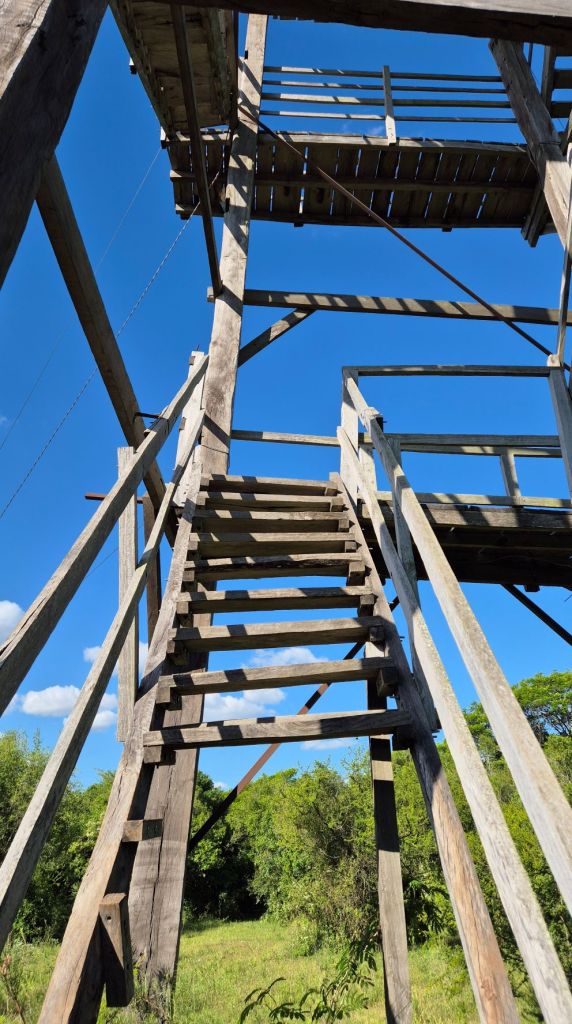
Near Hito U-1 there was 2 other points of interest. A derelict watch tower, which would have provided a super viewpoint if accessible and a Uruguayan triangulation point.
Even better if…
There was so little information available about this area. Knowing what we know now an additional couple of days would have allowed us to cross into Argentina and visit the 2 markers on that side. Whereas a trip into Brazil would have allowed us to visit the second Marco Imperial which we had initially thought we might be able to do on our boat trip. Will this second trip happen? Who knows but it is a good excuse to go back.
After our Visit
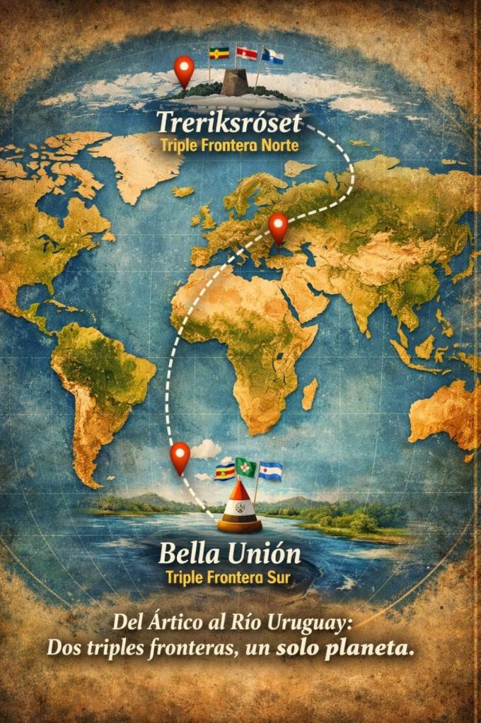
Border expeditions are unpredictable, both in what happens during the visits and also what happens afterwards. By chance we met Dardo Oxandabarat the Tourism manager in Bella Unión. He was interested in why a group of European tourists were visiting. We explained our interest in borders and particularly the unique nature of the nearby tripoint being the most southern in the world. We talked too, about our visit to FINOSE the northernmost tripoint and the potential to attract more tourists to the area.
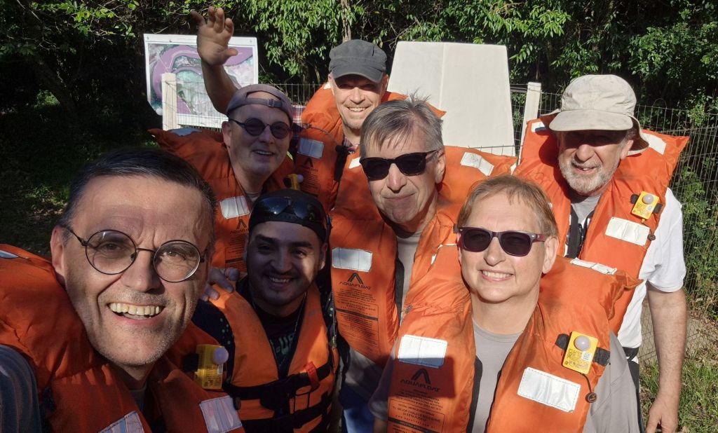
Since our visit there has been 2 developments, one being the marketing of the area with reference to the tri border aspects. Bella Union officials have been in contact with their Norwegian colleagues too as the poster on the below indicates.
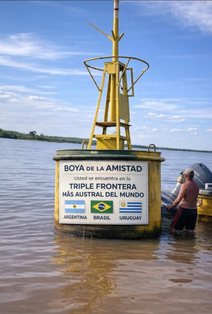
The second development has been the marking of the tripoint with a buoy which was towed into position in January 2026. The buoy is located 3 km north of Bella Union within Uruguayan waters – actual position to be confirmed.

Videos


Click on the images of flags above to access further information, maps and photos.

Date of Visit: 31 October 2025
