
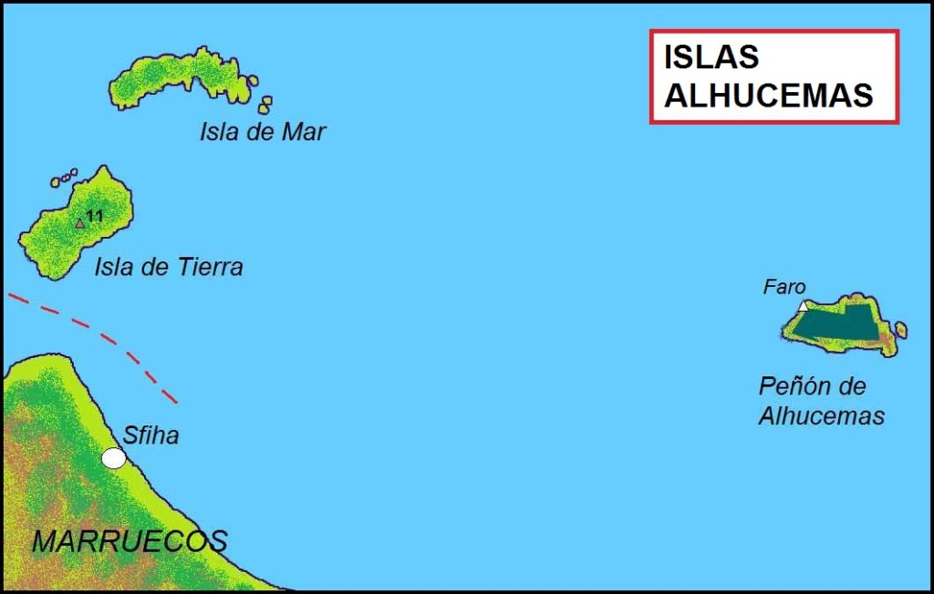
Peñón de Alhucemas, together with the islets of Isla de Mar and Isla de Tierra slightly to the west, form the Alhucemas Islands. They are located 300 metres off the Moroccan town of Al Hoceima, 146 km east of Ceuta and 84 km west of Melilla. The aggregate land area of the group of three islands is 4.6 ha.
Spanish rule dates back to 1559, when the Saadis ceded several territories to Spain in exchange for Spanish help against Ottoman armies. In 1673, Spain sent a garrison to the island of Peñón de Alhucemas, and has permanently occupied it since then. It is now administered by Spain as part of one of the plazas de soberanía, and its sovereignty is disputed by Morocco. I visited this point as part of the IBRG SPEGEX-22 trip.

The plazas de soberanía (places of sovereignty) are divided into 2 groups, major which includes Ceuta and Melilla, and minor that includes the rest that are mainly little islands and one which is a peninsula. They include (west to east) Perejil Island,
Peñón de Vélez de la Gomera. the Alhucemas Islands, Alboran Island and small islote de La Nube and finally the Chafarinas Islands.
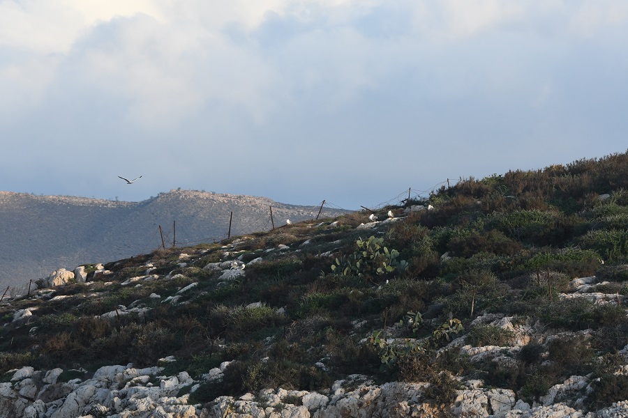
In 2012 the Spanish military garrison in the fort on Peñón de Alhucemas comprised an infantry section of 25–30 men from the 32nd Mixed Artillery Regiment, plus personnel from the marine services with an inflatable boat for reaching supply vessels. On 29 August 2012, 19 sub-Saharan immigrants traversed the short expanse of water between Morocco and the Isla de Tierra. These individuals camped on the island, hoping to somehow gain access into the Spanish mainland. They were shortly joined by an additional 68 immigrants on 2 September 2012. Refugees and illegal immigration from sub-Saharan nations has been a problem that Spain, and the European Union as a whole, has been trying to solve. Since the islets had an “undefined internal status”, the immigrants did not benefit from the Spanish immigration laws and, under a joint operation, Spanish troops tended to the women, children, and medical needs of the immigrants, then turned them back over to Morocco who in term expelled them to Algeria. The Spanish Army has since stationed a small camp on the Isla de Tierra to discourage new attempts to illegally cross into Spanish territory. We spotted some barriers to discourage access to the island.
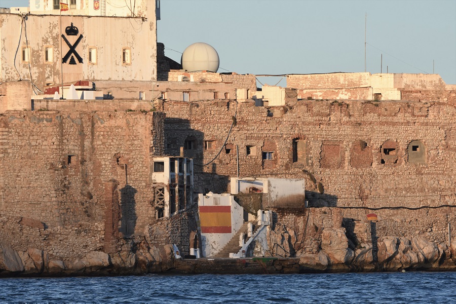
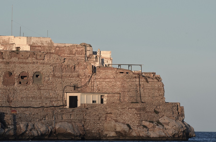
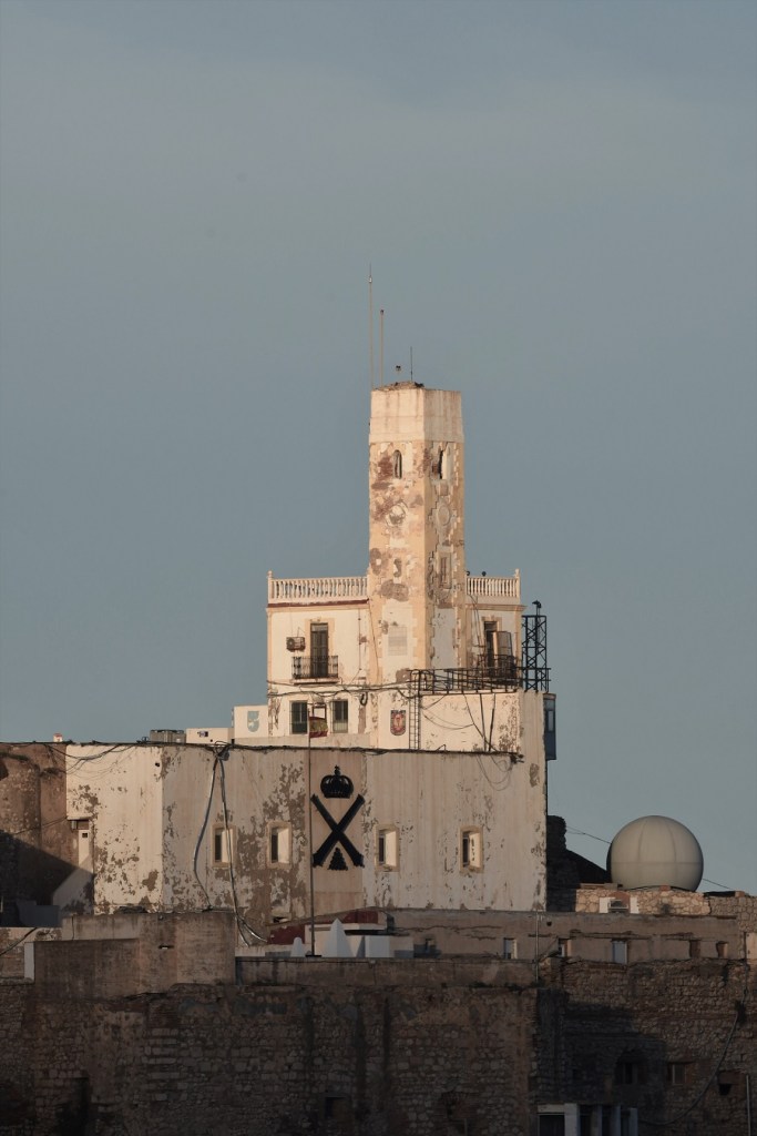
Peñón de Alhucemas
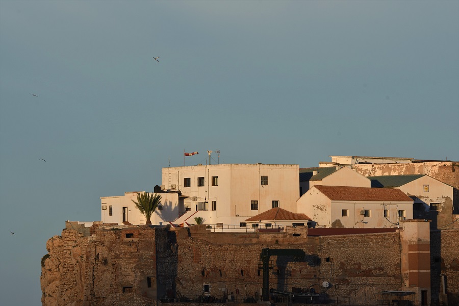
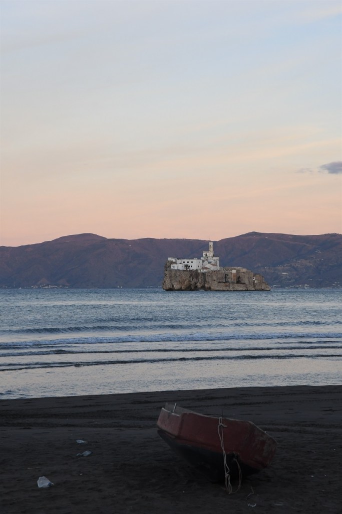
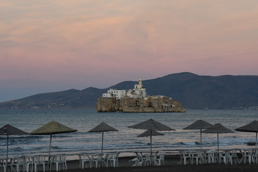
Peñón de Alhucemas is a tiny rock island, measuring 220 m east-west and up to 84 m north-south, with an area 1.5 ha, and a height of 27 m. The rock is entirely occupied by a fort, several houses, and a church.


Isla de Tierra
Isla de Tierra, 245 m long east–west, up to 70 m wide, yielding an area of 1.4 ha, it is the closest island to the Moroccan coastline. From the shore there is a Spanish flag visible and some fences near the shoreline.
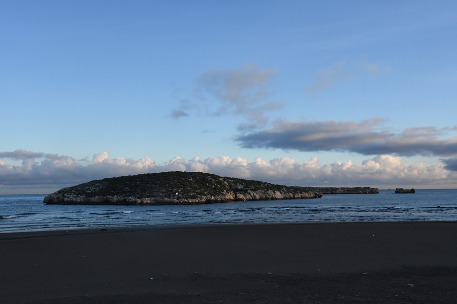
Isla de Tierra with Isla de Mar visible behind it. Note the closeness to the shoreline.
It would be relatively easy to wade or swim to the island at low tide. It however is under surveillance from the Spanish fort and the Moroccan Army base.
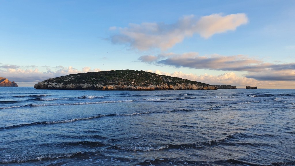
Isla de Mar
Isla de Mar is a flat, 4 m high islet, with its western end 93 m north of Isla de Tierra, 245 m long east–west, up to 70 m wide, yielding an area of 1.4 ha.

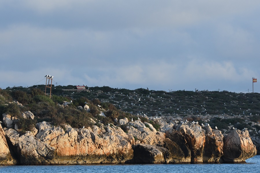
The foreground is Isla de Tierra, the background Isla de Mar. Note the 2 Spanish flags. They appear to be metal (not fabric).
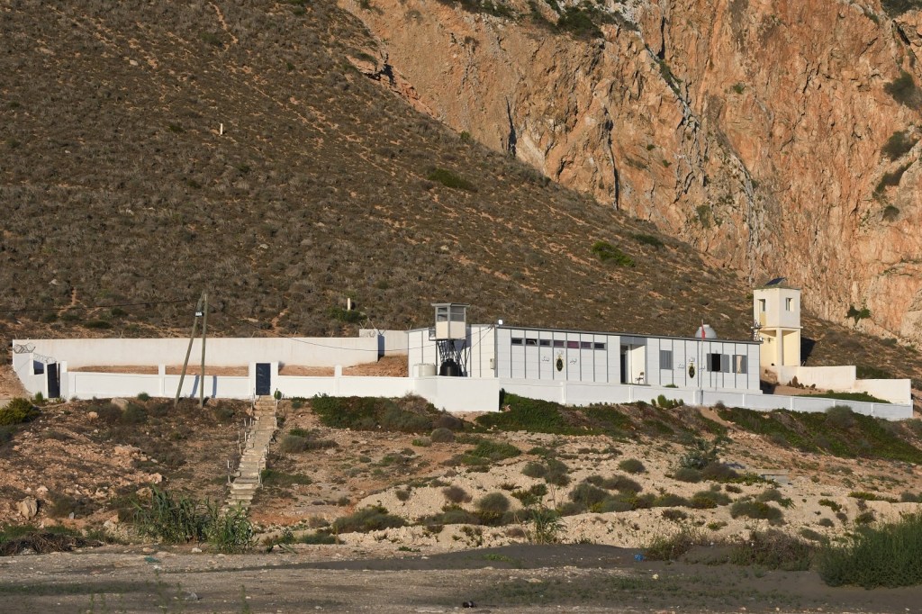
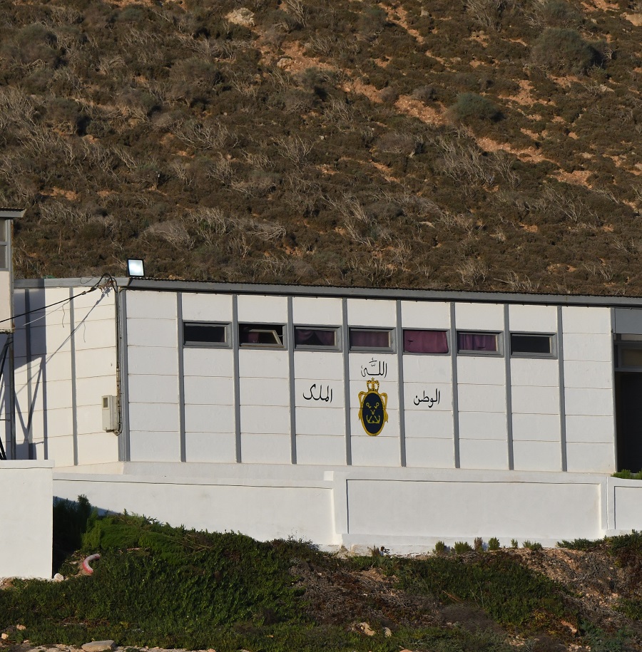
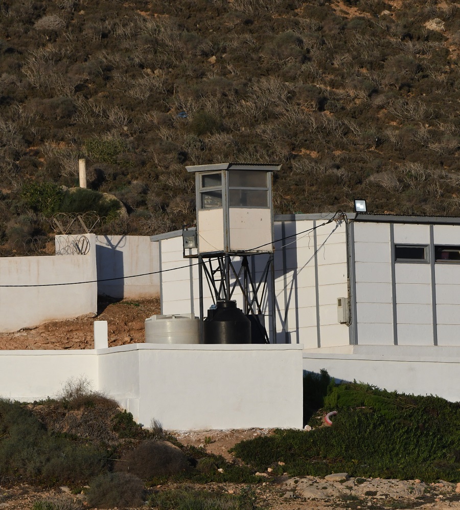
Moroccan Base
At each of the Spanish possessions there is a Moroccan military presence.

Date of Visit: 05 November 2022
