
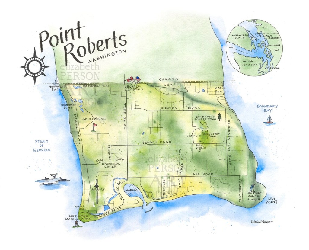
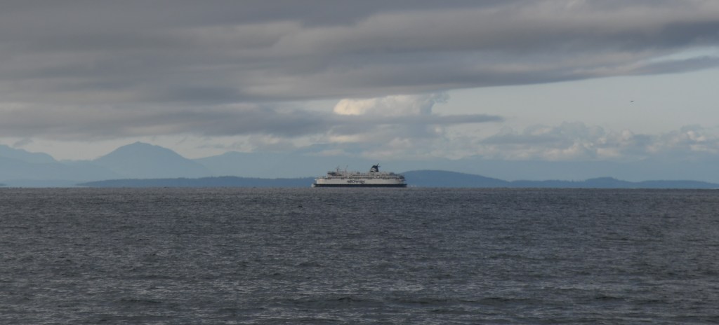
Point Roberts is a pene-exclave of Washington on the southernmost tip of the Tsawwassen peninsula, south of Vancouver, British Columbia. The area, which had a population of 1,191 at the 2020 census, is reached by land from the rest of the United States by traveling 40 km through Canada. It is a census-designated place in Whatcom County, Washington, with a post office, and a ZIP Code of 98281. Direct sea and air connections with the rest of the U.S. are available across Boundary Bay.
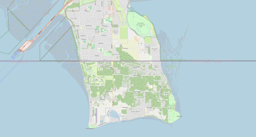
When the US-Canada border was set at the 49th parallel north in 1846, it intersected a Canadian peninsula, leaving a sliver of the United States at its bottom tip, about 40 kms south of Vancouver. Geographers call it a “pene-exclave”, an area of one country that in practical terms can only be reached by passing through another country. Except for the few who arrive by private plane or boat, everyone coming to this American community drives in from Canada.
Accident or design?
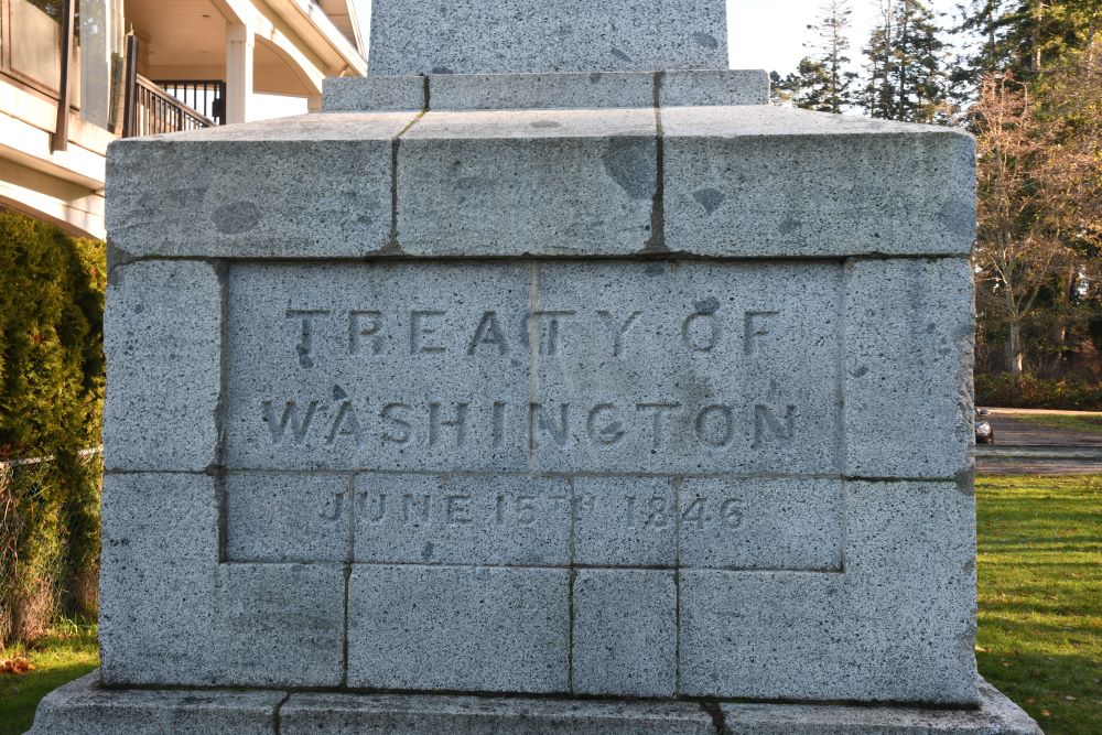
There are 2 explanations for the existence of Point Roberts, firstly that it was due to the the inaccuracies of the early surveyors when charting the 49th parallel. Others have argued that it was a deliberate strategic decision that granted the US valuable fishing and crabbing rights, he said, and a strategic Pacific Northwest foothold. The US initially made substantial claims for territory north of current border and relinquishing its claim on Point Roberts would have undermined those. For decades, the outpost was held as a military reserve, but in 1908 the United States granted the land to settlers, who were mainly Icelandic immigrants. The very interesting Point Roberts Historical Society very much hold with the second view. Well worth a visit not least for its border memorabilia of mugs and tee shirts as well as a very interesting exhibition.
Point Roberts Today
Point Roberts is a forested rural community, home to almost 1,300 full-time residents ( a figure that increases four fold in the summer). Many of the full time residents hold dual nationality. . Point Roberts has a primary school, but students past third grade must take a bus to classes in Blaine, Washington, a roundtrip of more than 80 km that travels into Canada and back into the United States, requiring four border crossings a day. It’s a familiar slog for residents, who make similar trips for doctor’s appointments, or to pick up prescriptions or car license plates. It is a town without Doctors, Dentists, Vets or Pharmacies. People who live there are dependent on closer Canadian services or the drive into Washington State proper. During the COVID lockdown there was substantial logistical and economic problems with the closure of the border which were only partially mitigated by the establishment of ferry service. The Bellingham port provided emergency ferry service to Point Roberts free-of-charge on San Juan Cruises 100-foot vessel the Salish Express for nearly a year and Whatcom Transportation Authority supported passengers with transit connections throughout Whatcom County.
For many, Point Roberts’ appeal is sheer economics. Canadians own summer homes here because waterfront real estate is much cheaper than in the Vancouver area. And there’s steady traffic year-round drawn by lower-priced petrol, milk and alcohol, due to lower US taxes and Canadian management of its dairy production that keeps prices high.
Others come to pick up packages at one of the town’s several shipping stores. By using a Point Roberts address, Canadians can receive online shopping without import taxes from the United States. The town also has a supermarket packed with more products and produce than could ever be consumed in this tiny community – all for the Canadian day trippers.
Point Roberts has a holiday town feel about it, the house prices are much lower that those north of the border.
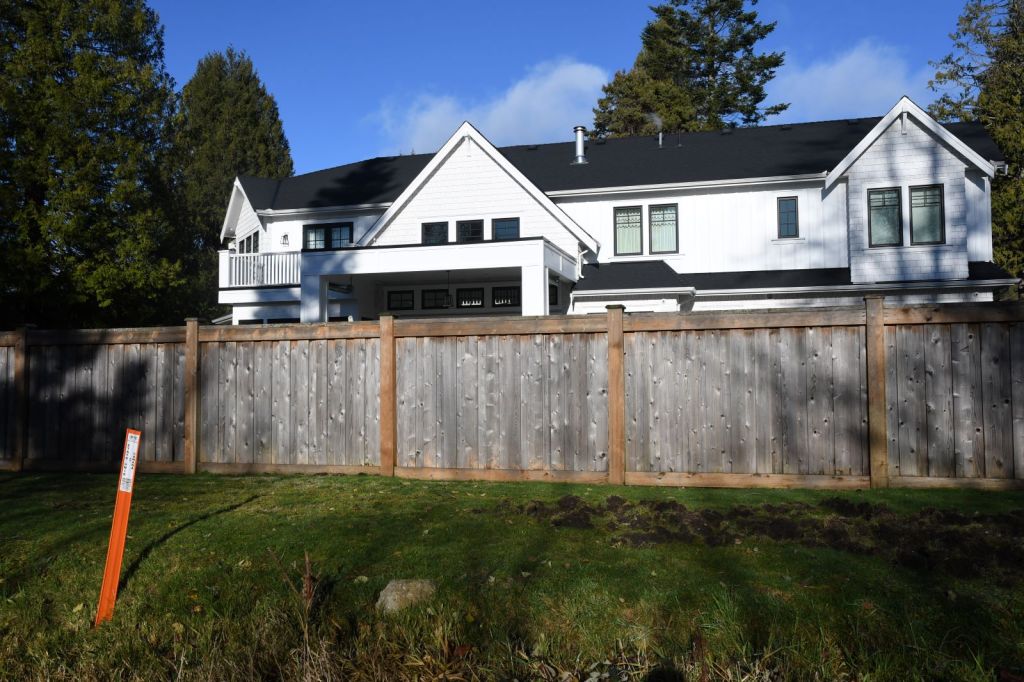
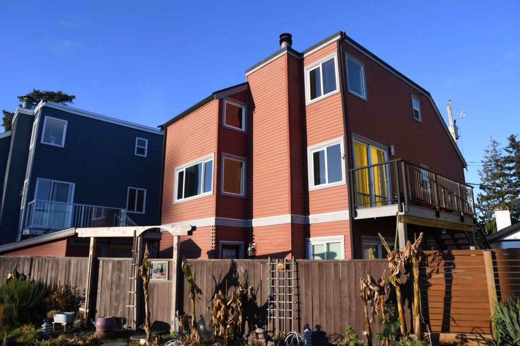
That said, the substantial Canadian villas that are located immediately north of the border contrast sharply with the small wooden homes to the south. Top 2 photos below are Canadian, the bottom 2 are in Point Roberts.


The Point Roberts Marina Resort has restaurants, grocery and liquor stores, mobile home and RV parks, a campground, bike rentals, post office, library, and banks are available for those who use it as a base to discover the nearby San Juan Islands, and Vancouver Island.

The Border (west to east)
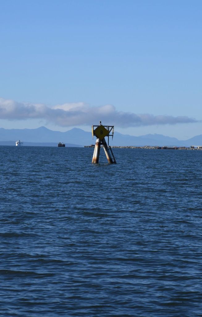
My focus of course, was the border and I spent most of my time driving the length of the border to capture the major points of interest. Most people head to Monument Park where the substantial CAN/US Border marker #1 is located. However, the first point of interest is located on the beach west of the park.
Canada – US Border Marker #0

Leaving Monument Park by a shared bike and walking trail the path winds through trees prior to it becoming a footpath only that zig zags down towards the beach.

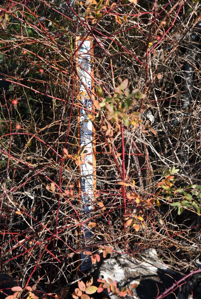
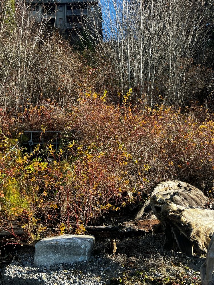
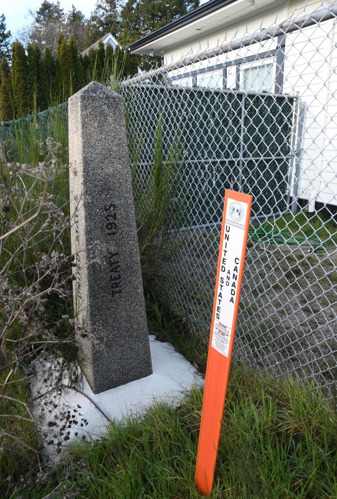
Once on the beach it is a short work north to the US – Canada border. It would be easy to stroll across the border unless you were aware it was there. Initially, it is one of the orange plastic thin border markers that attracts attention.
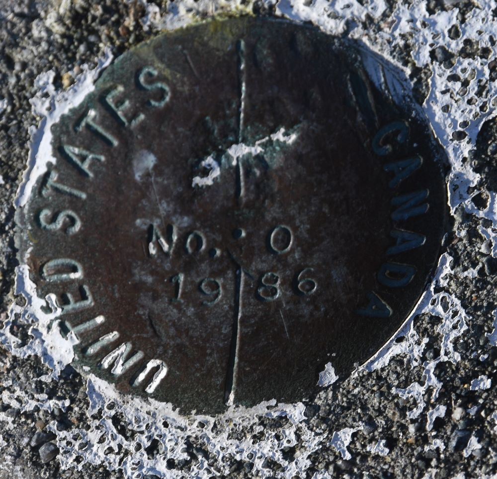
Then the small metal disk embedded into a concrete base comes into focus. The unique border marker 0. I have not discovered why this was not BM#1. The disc is dated 1986 which suggested it was added in a later survey. Does anyone know for sure?


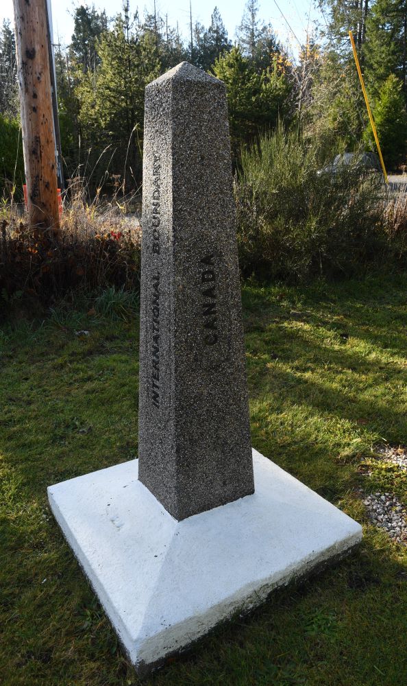
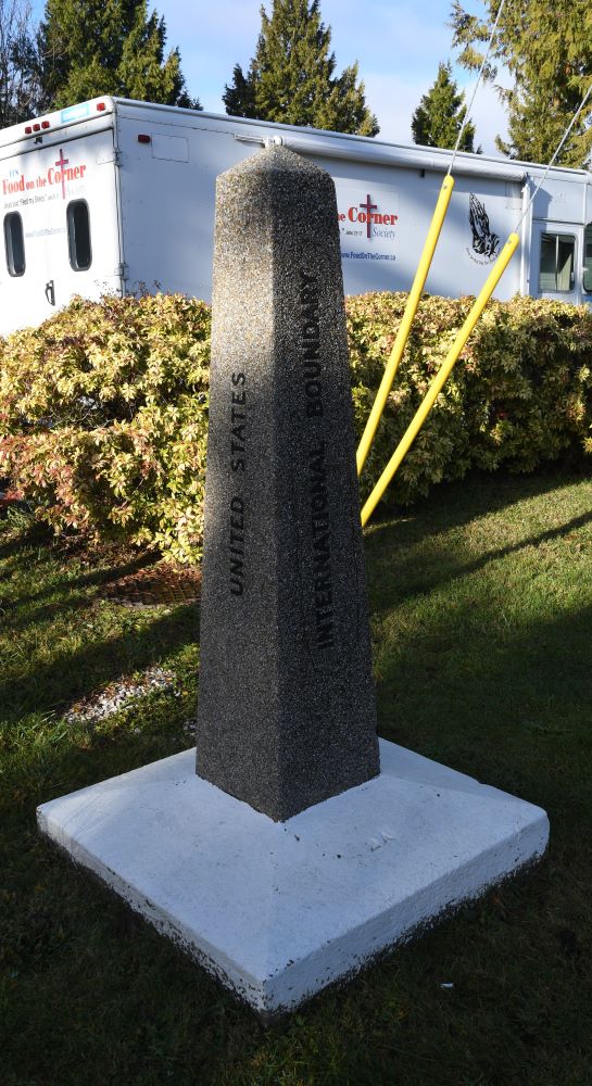
Monument Park & Border marker #1
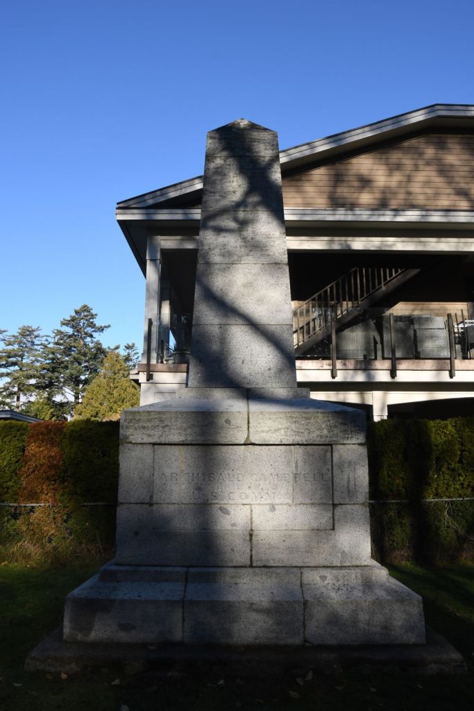
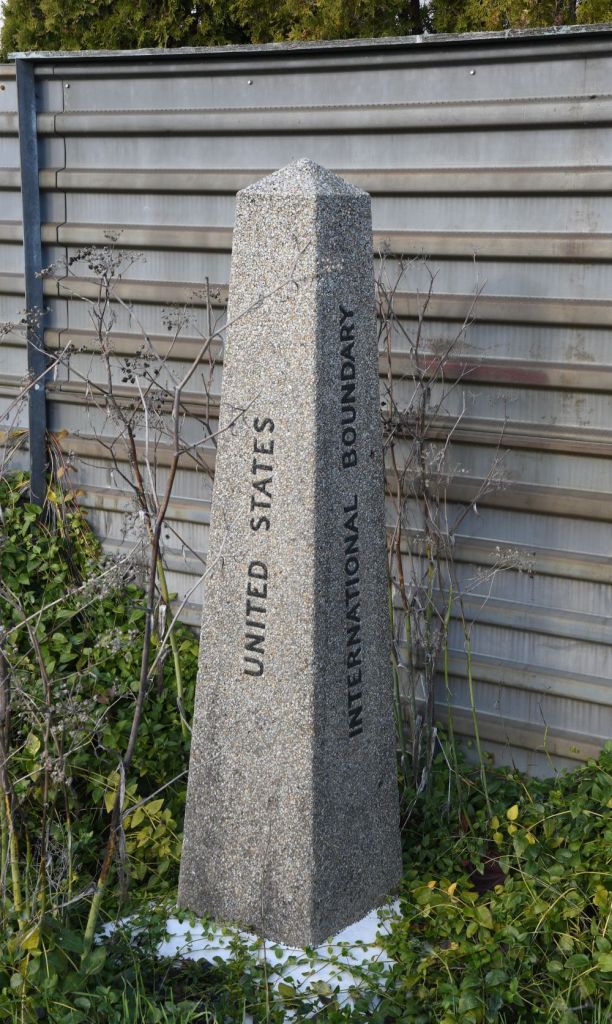
Located at the top northwest corner of Point Roberts this park is home to Boundary Marker No. 1; marking the 49th parallel and the US/Canada border. The granite obelisk made in Scotland was placed in 1861.


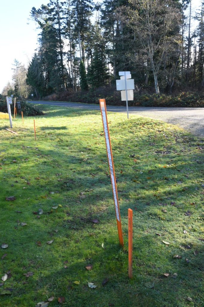
An interesting feature of the park is that it is possible to access it from Canada without going through the main access point. English Bluff Road, Tsawwassen leads to the border where there is a low level barrier preventing access by car. There are warning signs telling people not to enter the United States but accessing the park seems to be allowed as there is a narrow strip of Canada which allows access to the Canadian side of the monument. Orange poles mark the border.


Roosevelt Way (west)
I found myself driving this road a number of times. On the western side the Canadian houses were very close to the road edge. The border was marked with a ditch which meant there was an area of land which was Canada behind the rear boundaries of the houses. Some owners had utilised this “easement” to extend their gardens.


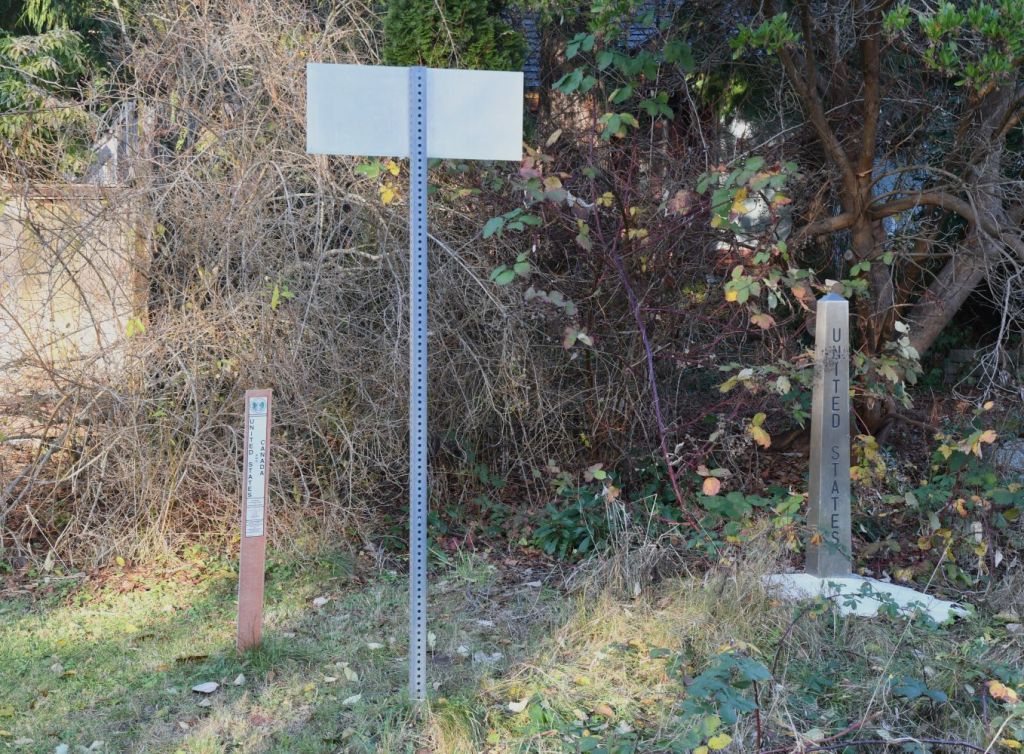


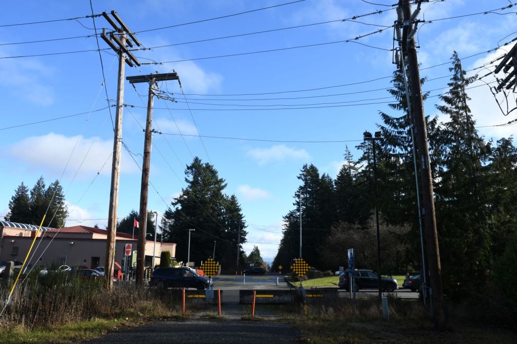
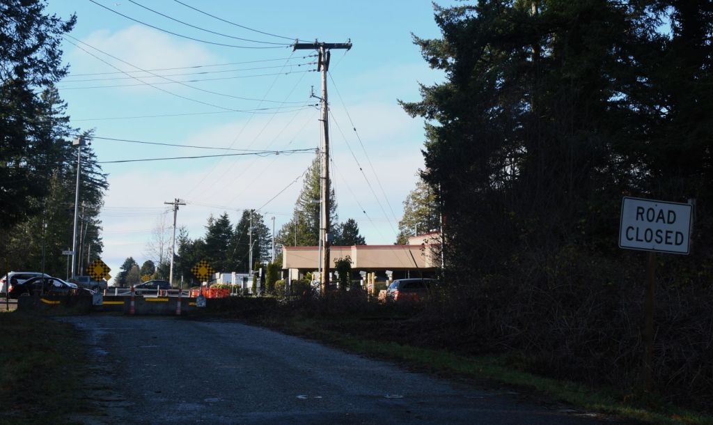
Point Roberts–Boundary Bay Border Crossing

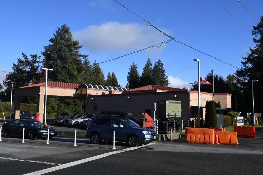
The Point Roberts–Boundary Bay Border Crossing connects the communities of Point Roberts, Washington, and Tsawwassen, British Columbia on the Canada–US border. Tyee Drive on the American side joins 56 Street on the Canadian side. The crossing is the westernmost in the contiguous United States. By land, Point Roberts can only be accessed via this crossing. This port has NEXUS lanes for entering the U.S. or Canada. Entering the U.S., there are four primary and four secondary inspection lanes. The Point Roberts Border Crossing is the 5th busiest US/Canada crossing!
When the border between the United States and Canada was established as the 49th parallel, it cut straight through the southern tip of the Tsawwassen Peninsula. This created a chunk of U.S. territory that cannot be reached by land from the U.S. It is one of only four locations in the contiguous United States not directly connected to the lower 48, the others being Elm Point, Minnesota, Angle Inlet, Minnesota, and the town of Alburgh, Vermont. Point Roberts has a small airport and a large marina for air and water access.

US Side
As this my first visit to the US after the issuing of my current Electronic System for Travel Authorisation (ESTA) visa waiver I was required to enter the building for photograph and fingerprinting and the payment of a $6 fee. The border staff were friendly and asked the purpose and duration of my visit.


The Border markers
The border was easily accessible as the border control facilities were close together. However, for photographs the best access point was to drive along Roosevelt Way until the crossing point (the road is blocked) and that provides a great viewpoint.


Canadian Side


Roosevelt Way (east)
Point Roberts’ northernmost street, Roosevelt Way traverses the peninsula from west to east. Only when it reaches the border crossing is it blocked on both sides to allow uninterrupted north – south traffic. Moving east the border with Canada is initially more rural with open land rather than houses.

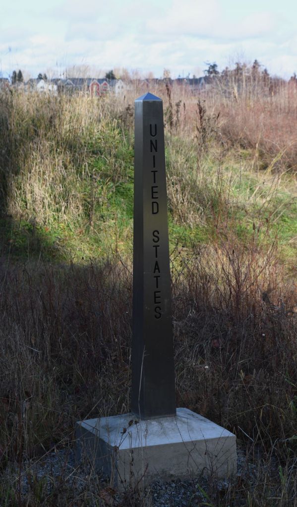

Original Border Crossing (1914-1975)
In 1935, customs offices were built at the boundary on the main access road and 2.2 kilometres eastward at Beach Road (67 Street). In 1975, the Beach Road post closed permanently. The latest owner of this heritage building renovated the interior to accommodate a dental office. It is possible to identify the old crossing point on each side. A clue is 2 border markers close together.
US Side

Canadian side

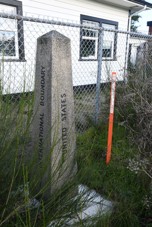
Further east
Moving towards the coast, the settlement of Boundary Bay once again has roads and houses along the border. Some have gates in their rear fences to allow access to the small strip between their rear boundaries and the border.


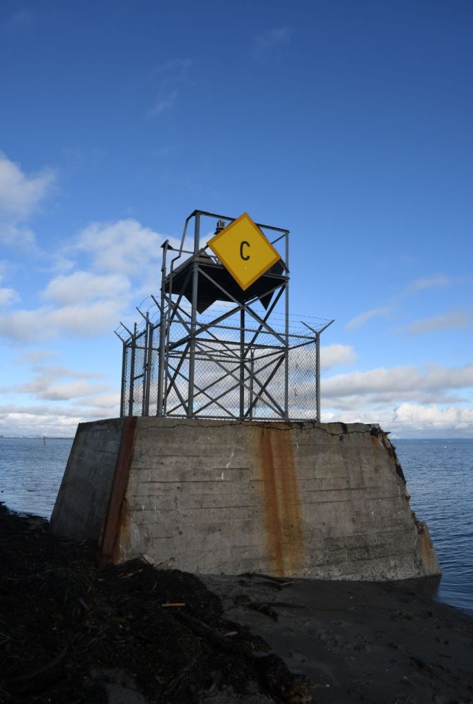
Boundary Bay Border Marker
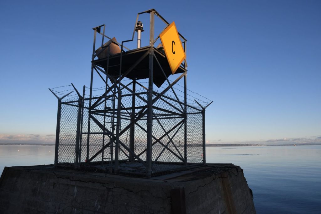
Finally reaching the beach there is one final marker, this time a maritime marker at the waters edge. One mile into the bay there is a further marker. Speaking to a local, in the summer it is possible at low tide to walk out to this marker. I had to visit this point twice due to the tide being in the first time.


Date of Visit: 08 December 2023

Marker 0 was placed at the high water mark and was done from the original border survey when Marker 1 was done. The Border Commission replaced the original marker in 1986 with the concrete slab and border stamp you see today while replacing many other damaged border markers. I was doing research on the marker for the Point Roberts Historical Society and found out the original Marker 0 was a 3foot wide 7 feet 11 inch high obelisk that had a 2 inch by 7 inch tall maganese-bronze spike on the top. The obelisk was set 4feet 3inches into the ground on clay to hold the marker in place from the tides so only the top 3 feet 8 inches were exposed. The information I got was from the 1937 International Border survey. I included a link to a picture from the survey of the original Marker 0 and Marker 1. If you ever find what they did with the original marker then please let me know. Marker 1 has the designated number 1 since it is the first land marker where as Marker 0 is the high water mark for the border. If you come to Point Roberts during the summer on a super low tide, you can walk the 6/10th of a mile out to the border marker in Boundary Bay. If you search for “Low tide at Boundary Bay, Point Roberts” on Youtube you will find a short video that I did of this marker.
LikeLiked by 1 person