


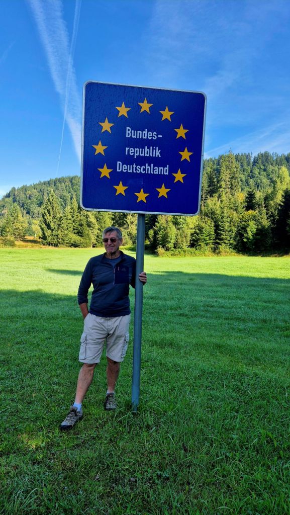
Jungholz is one of those places which is on the list of every border enthusiast. It is a pene exclave which is commonly defined as part of the territory of one country that can be conveniently approached only through the territory of another country. In this case it is Austrian territory which can only be accessed from Germany via 2 access roads. In addition it is a quadripoint which makes it even more attractive. We visited this point as part of the IBRG AT20 trip and then again as part of the IBRG LIVCO-25 expedition.
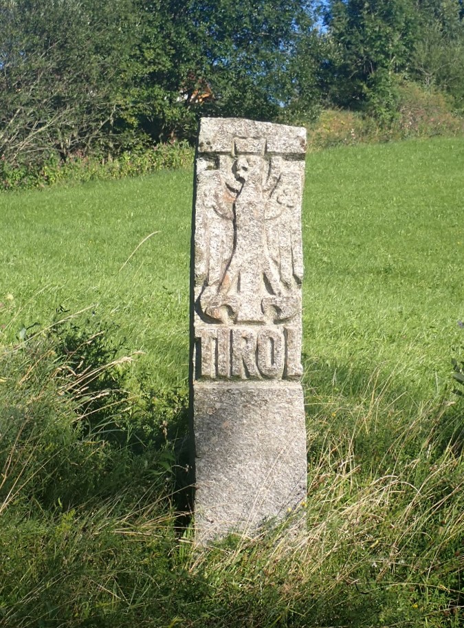
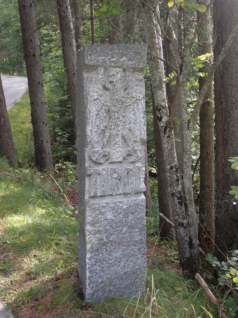
In 1342 a resident in Tyrol bought the area from a Bavarian. The buyer had the area incorporated with his other possession of Tyrol. Germany and Austria agreed in 1844 that Jungholz would remain part of the Austrian Tyrol, but the German districts of Bavaria on the east and Oberallgau on the west would separate it from the rest of Austria. Technically however, Jungholz is connected to the rest of Austria at a single point. Sorgschrofen (1635m) is where the 4 borders (2 German and 2 Austrian meet). Quadripoints are very rare. In Europe there is one other example in Baarle-Hertog, details of my visit there are here.

Ascent of Sorgschrofen
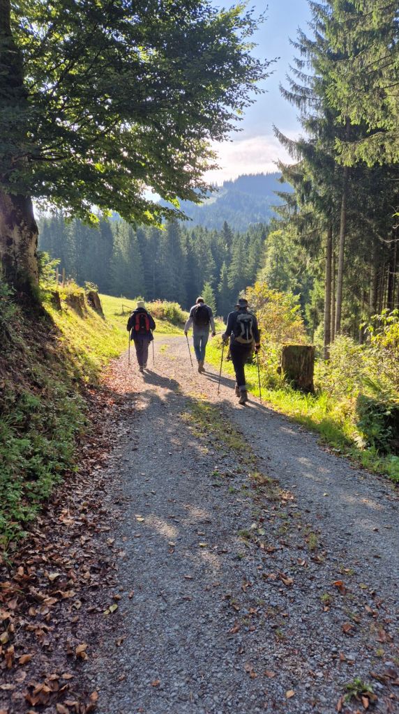
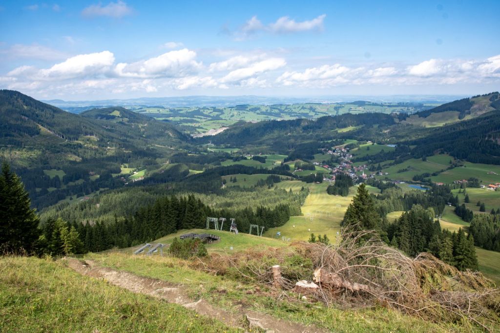
Two main hiking routes lead to the Sorgschrofen summit: a direct path from Jungholz (which can be made easier with a ski lift) and a more challenging route from Unterjoch that involves a steep, secured climb and a ridge walk. A popular circular route also exists, starting in Jungholz, traversing both the Sorgschrofen and Zinken summits, and descending to Unterjoch before returning to the starting point. The latter option was very tempting, but we opted for an out and back route, using the ski lift was also not an option as it was not open!
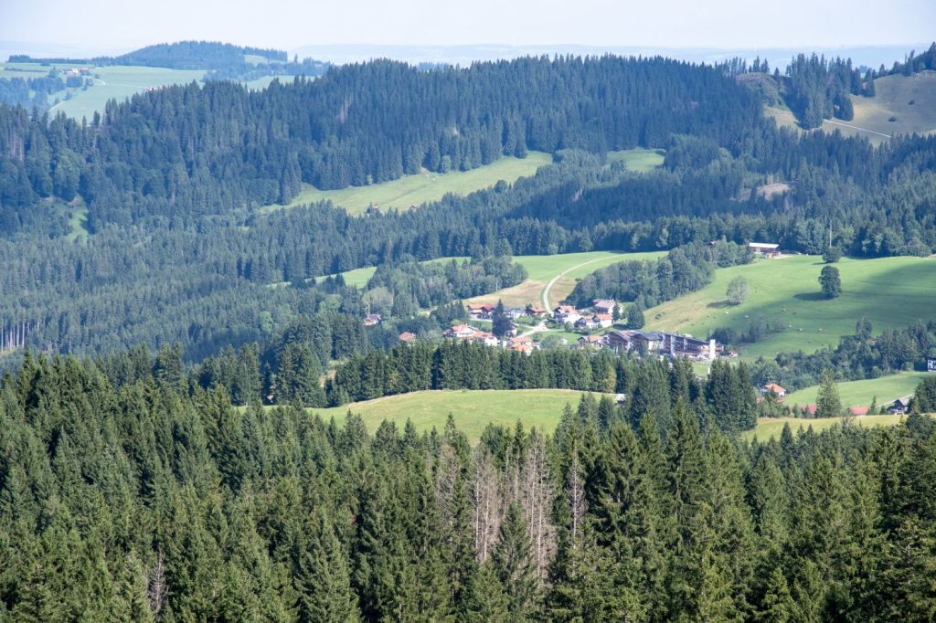
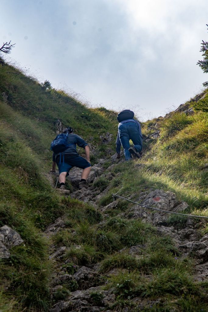
First we hike to the Älpele Hut through woodland and alpine meadows and for a time the well marked Austria – German border, then follow a steep path up to the area just below the peak, where you must scramble over initially down and then up rocky terrain to reach the summit


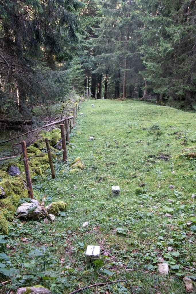


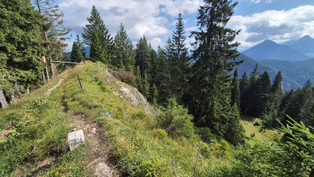
There were so many border markers, the picture on the left had 6, with a new marker every 2m. It would have taken too long to photograph them all.
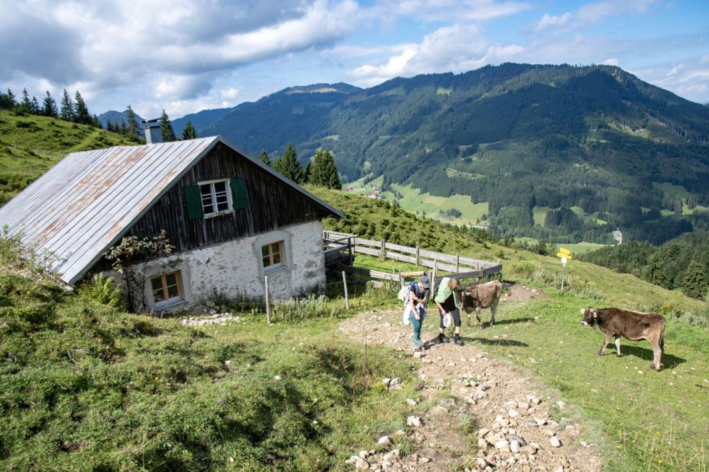
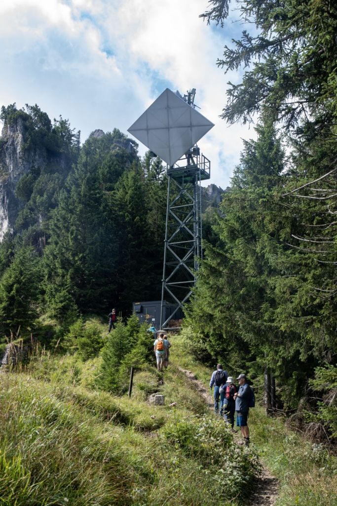
After reaching the Älpele Hut and taking a well earned rest it was time to tackle the steeper inclines initially to a communication tower and then on towards the summit, at times there were steep drop offs and chains to aid hikers to tackle the increasingly steeper slopes.


On to the summit
Hans Peter pushed on until he could see the summit. However a tough decent to a narrow col and a steep pull up led him to decide not to go further.
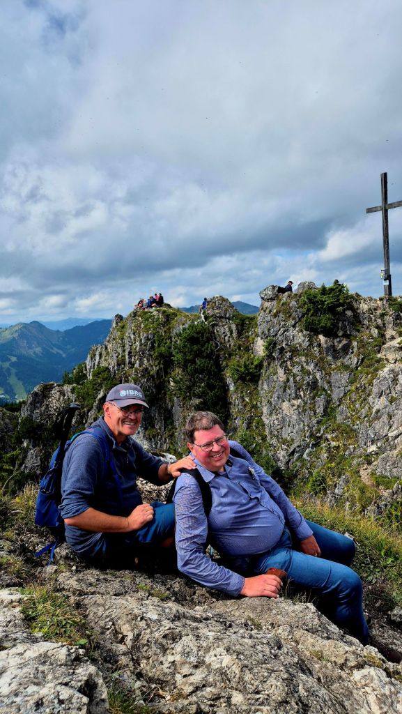
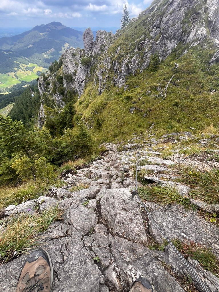
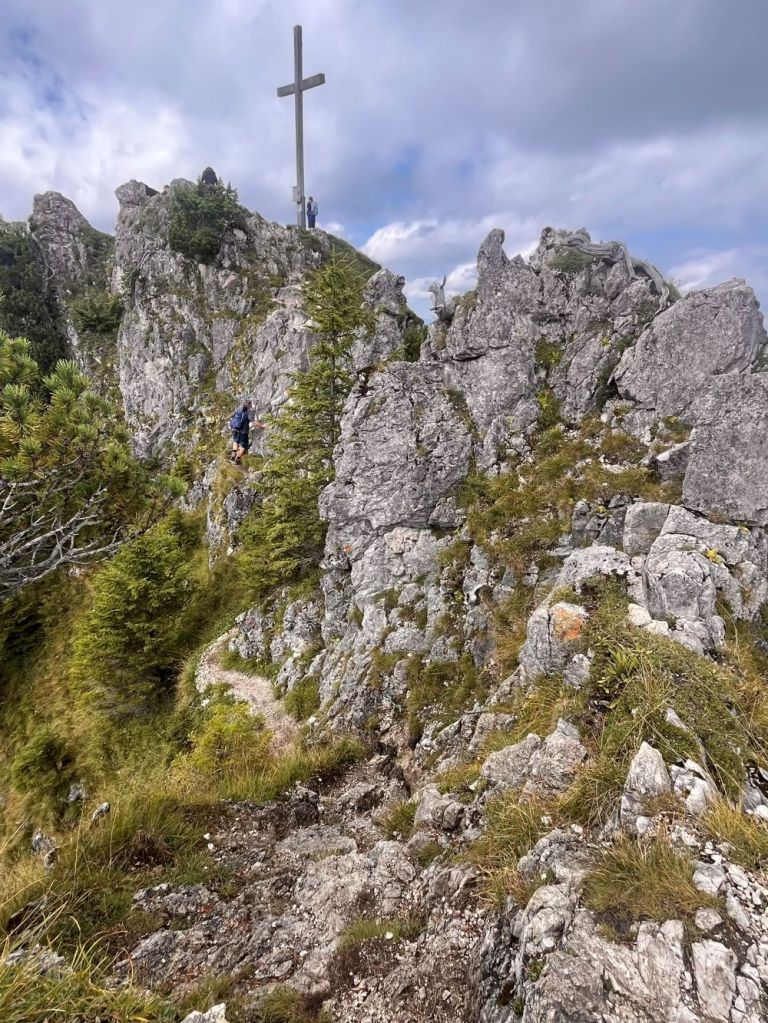
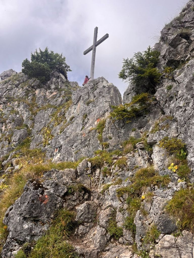

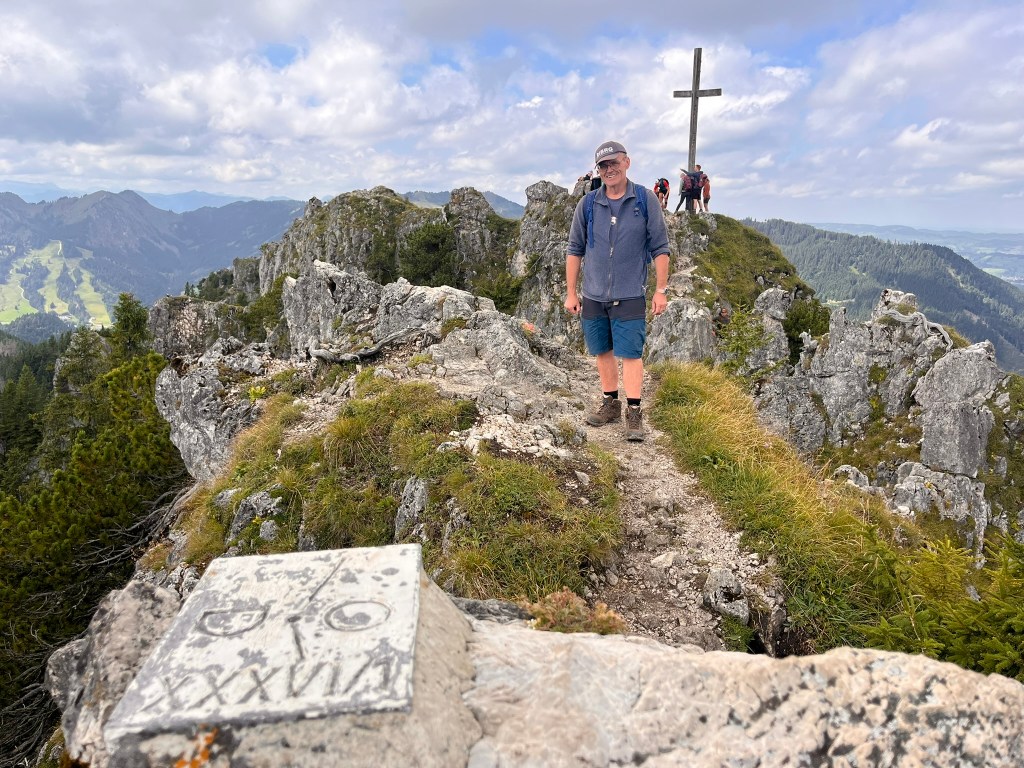

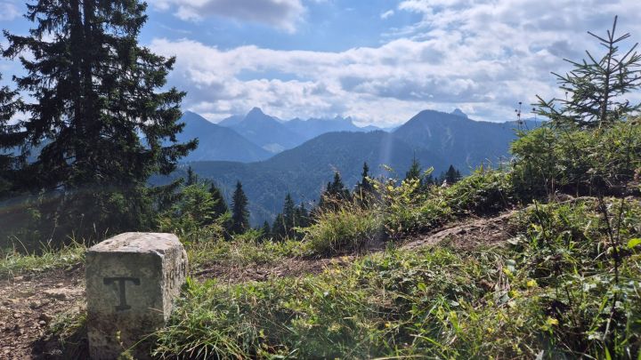
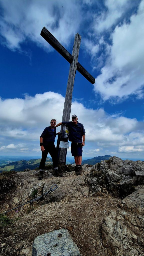
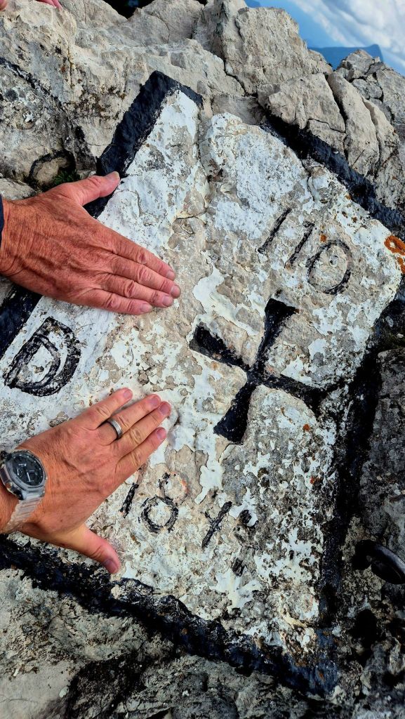
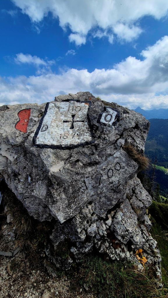
Finally, after a fair degree of exposure and effort we were on the summit ridge. Initially there was an interesting border marker to explore before heading towards the summit cross. The ridge itself was narrow but nothing to worry about.
We spent longer here than most who head straight for the cross and the quadripoint marker BM AT/DE #110
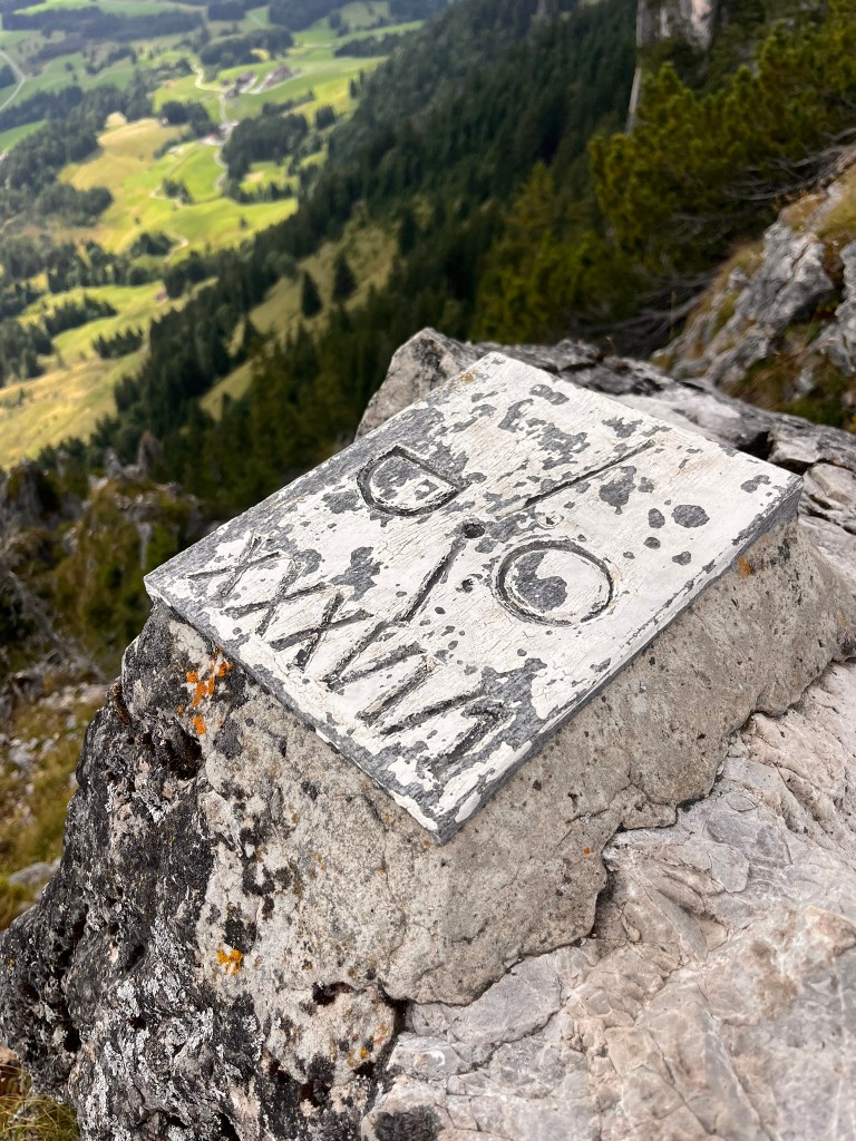
The Quadripoint
One of only 2 in Europe, high on the list of any serious border enthusiast.


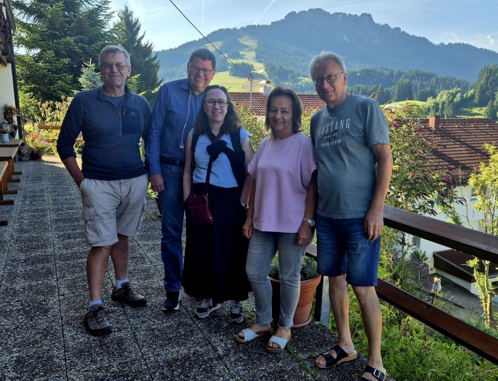
Post walk celebrations
Our wonderful hosts looked after us very well and Frau Merz even cooked us home made Apple Strudel as a celebration treat.

Meeting with a local border expert
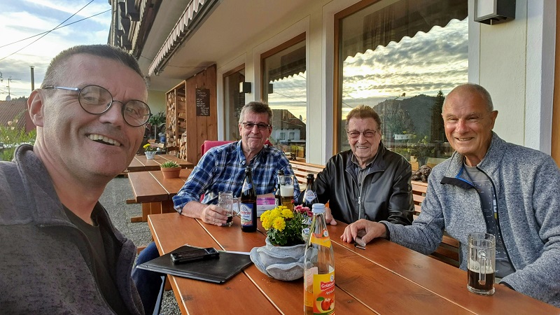
One of the highlights of our visit in 2020 was the opportunity to meet Max Tauscher, a local border expert who has written books on the exclave. It was fascinating discussing the realities of living in Jungholz. Jungholz was part of the German customs union prior to the common market and used German Marks rather than Austrian Schillings prior to the introduction of the Euro. Jungholz is small (7.12 km2) with only 308 inhabitants (2019). It has a volunteer fire brigade and an Elementary School but no Doctor’s surgery, Bank, Pharmacy, Secondary School or Police station. Inhabitants therefore have access these facilities elsewhere.
Access Points to the Exclave.


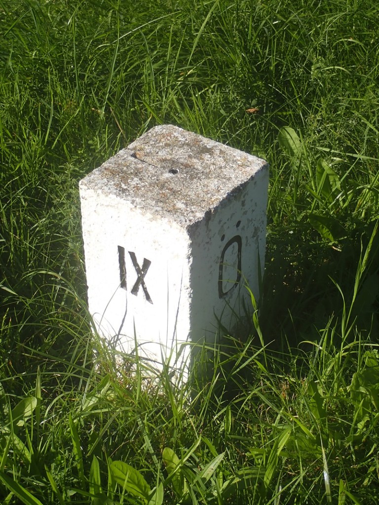
The first access road we explored was northern one leading to the 310 and on towards Wertach. The bridge crosses the Mulbach and there are regional and national signs as well as BM # IX which is noted on the Bayern Atlas map although it is located in Austria.


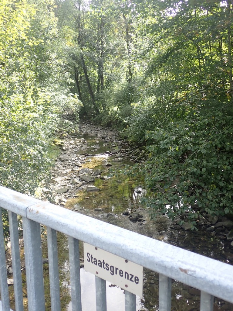
The second road we explored was the southern access point with a bridge across the Mertach. No border markers here but regional signs and the border delineated on the bridge. As we were exploring the crossing the cross border bus service (German company) drove into Jungholz.

The smaller of the 2 access roads still had plenty to interest the visiting border enthusiast.

In August 2025 as part of the IBRG LIVCO-25 expedition we returned to Jungholz and took the opportunity to revisit this crossing point.


Cross border tracks
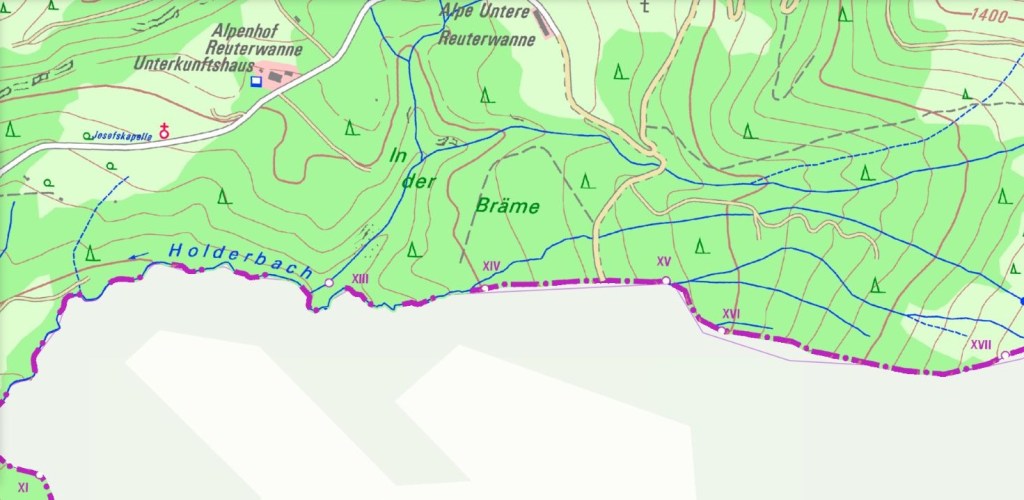

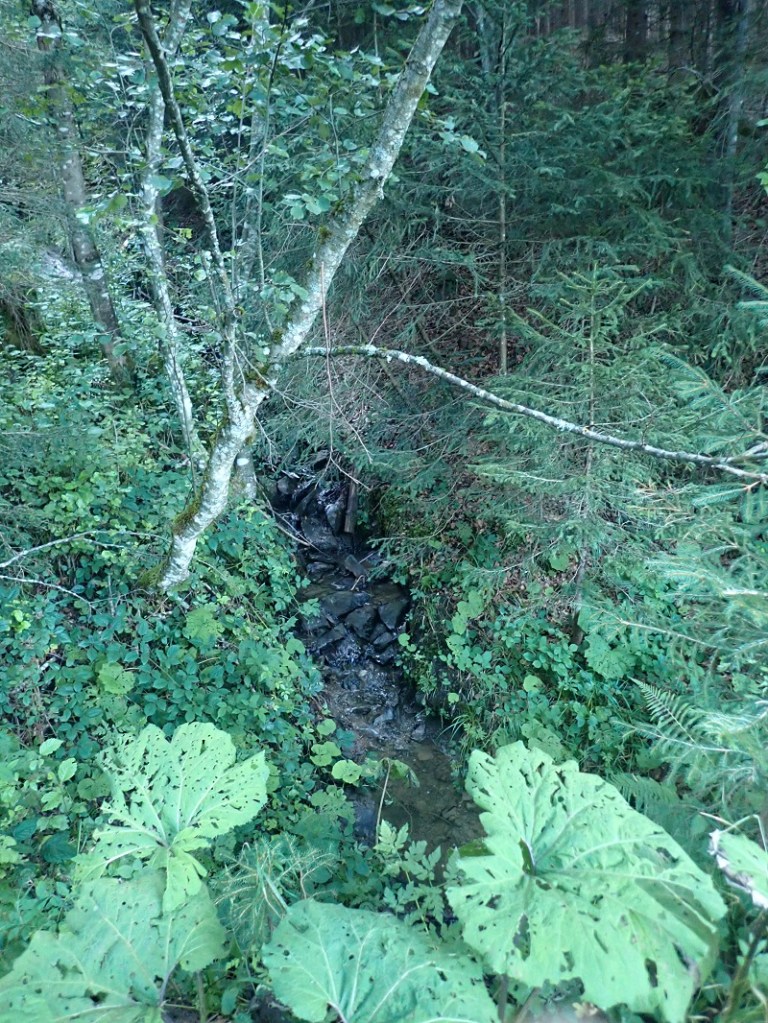
Prior to breakfast we explored a rural track to the north of the exclave, indicated on the maps above between border markers #XIV and #XV. Although it was straightforward to identify the border by finding the Holderbach stream. The BM’s remained hidden in the dense undergrowth.


Date of Visits: 04/09/2020 and 24/08/2025
