
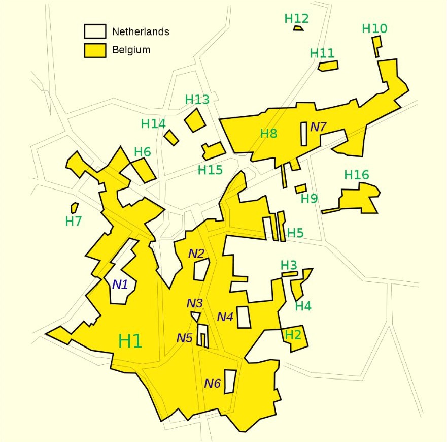
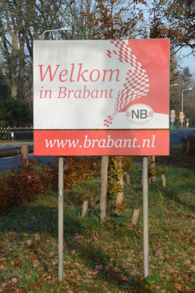
Baarle-Hertog is a Flemish municipality of Belgium, much of which consists of a number of small Belgian exclaves fully within the Netherlands creating interesting and complicated borders with the Dutch town of Baarle-Nassau. The border between Belgium and the Netherlands was established as part of the Treaty of Maastricht in 1843. In this area a special border commission to resolve the division between both countries.

With a total area of just seven and a half square kilometres, the Flemish exclave of Baarle-Hertog is made up of 26 different pockets of land. Of these, 22 are surrounded by the Netherlands, three are situated on the border between the two countries and one is in Belgium itself. In turn the Flemish exclave hides within its boundaries many Dutch counter-exclaves (an exclave inside an exclave). More information about exclaves is available here.
Over the years these boundaries have led to marked differences. During WW1 German soldiers were not able to enter the Belgium territories as neutral Netherlands would not permit it. More recently, shop and restaurant opening hours and permitted purchases such as fireworks differed between the 2 countries meaning that crossing the road could mitigate national restrictions.
The separate territories have two different mayors, two police forces, two postal services, two bus companies, and are subject to two different sets of national laws.
Walking around the town the borders are marked on the roads and pavements, with buildings and shops being divided by the borders. I did not try to locate each exclave but recorded those I came across.
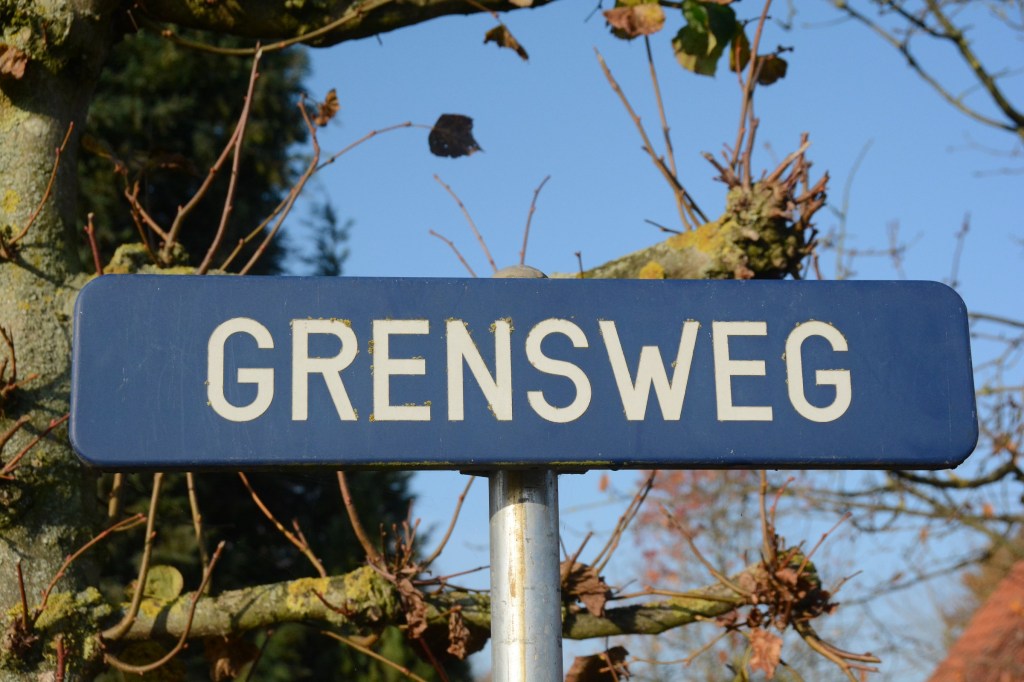
I approached Baarle Hertog from the south crossing the Belgium/ Netherlands border and spotted the Enclave Grens on the right hand side of the N260.


The border is marked by a number of national and regional signs noting the changing country. I did not notice any of the normal EU country signs at this point.
Enclave Grens H17

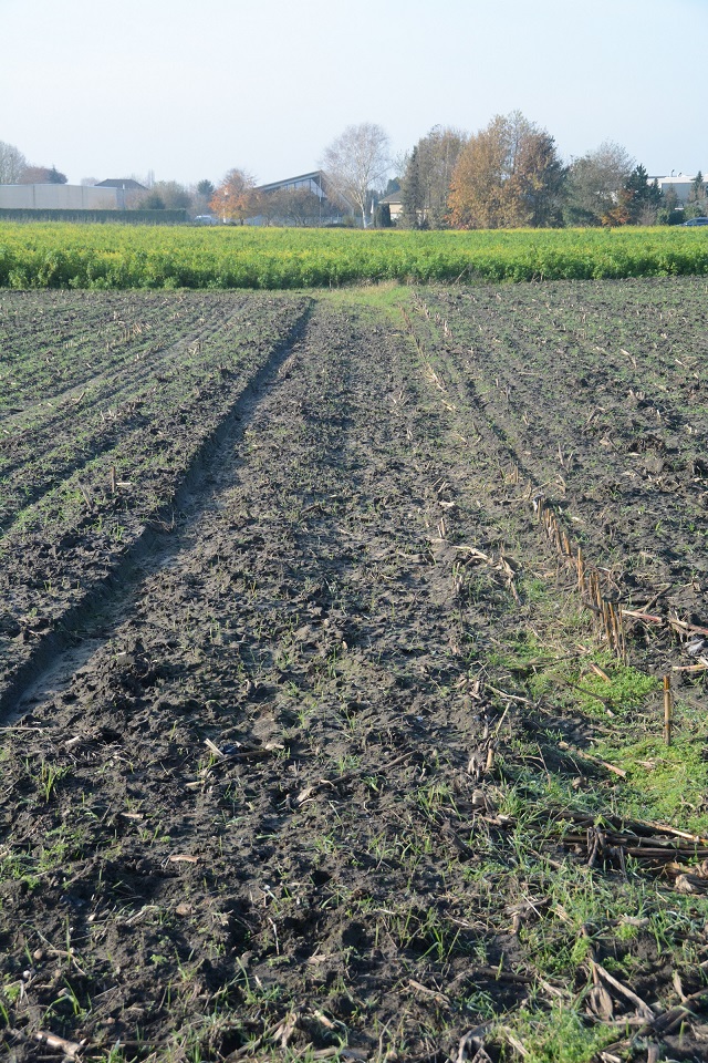
This enclave is located in the hamlet of Negenhuizen south of the village of Baarle and has an area of 149,248 m2. It belongs to the Belgian municipality of Baarle-Hertog since 1959, but is located on the territory of the Dutch municipality of Baarle-Nassau. It is a rural area, containing a portion of the former Turnhout-Tilburg rail line, now a cycle path. Several houses are also within the enclave.


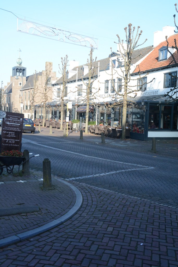
Welcome to Baarle

A joint town sign welcomes you!!
De Biergrens – a divided store
South of the town centre, a must for border loving beer fans. Note the same building but the company has both a Belgium and Netherlands component.


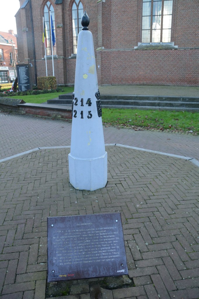
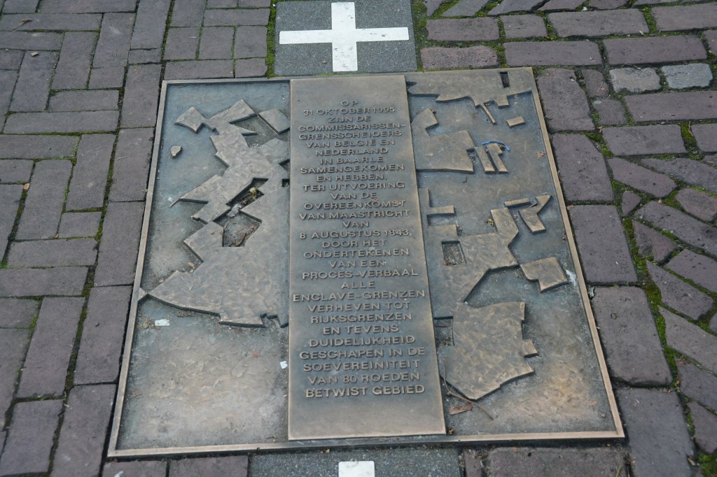
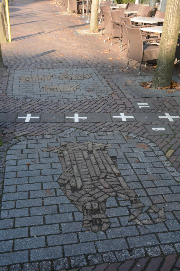
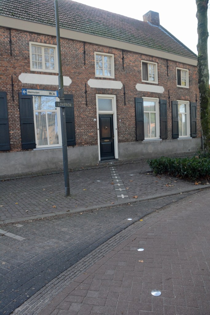
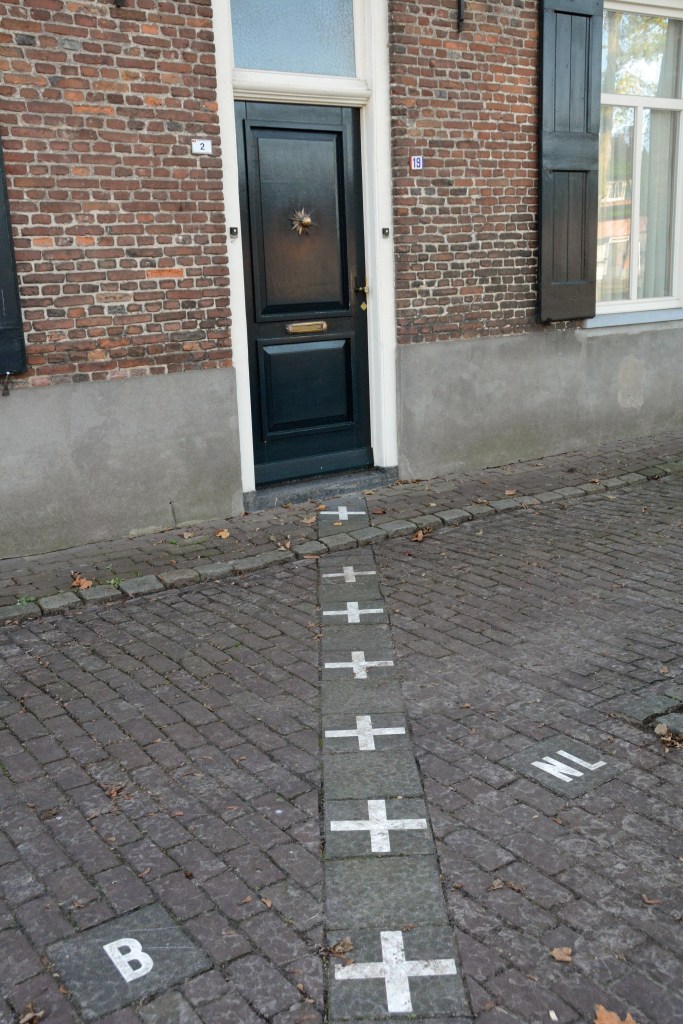
Singel Steet
On Singel Street the border changes direction several times. There is a a symbolic border marker 214-215 which commemorates the Treaty of Maastricht in 1843 which initially demarcated the various parcels of land, a process that was not finally complete until 1995. The pavement also has the town symbols marked on it and the restaurant forms part of the border.


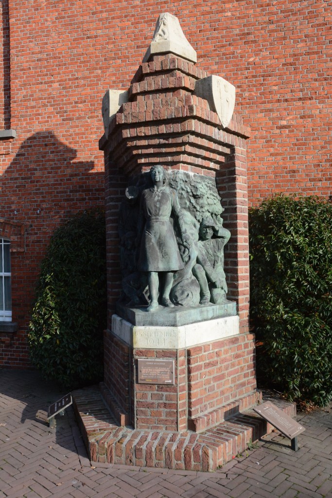
Baarle-Hertog Monuments

The memorial consists of a brick wall with two plaques. On one side is a plaque that commemorates the deceased Polish liberators of Baarle-Hertog. On the other hand is a plaque that commemorates the deceased Polish liberators and the deceased residents of Baarle.
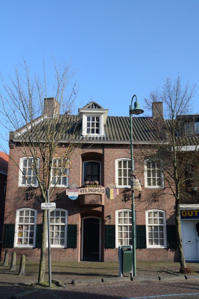
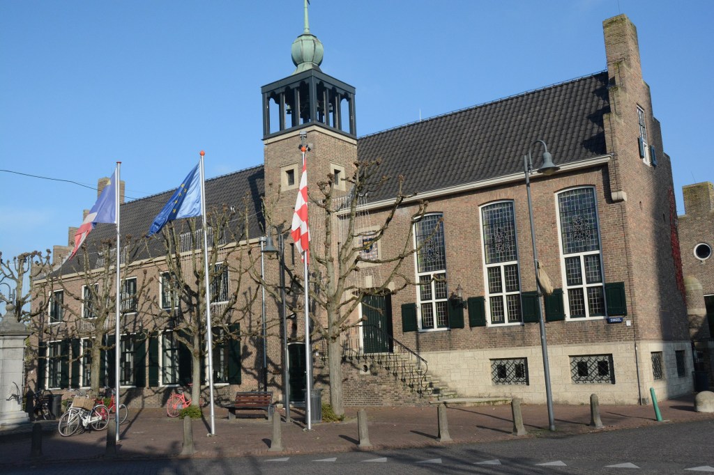
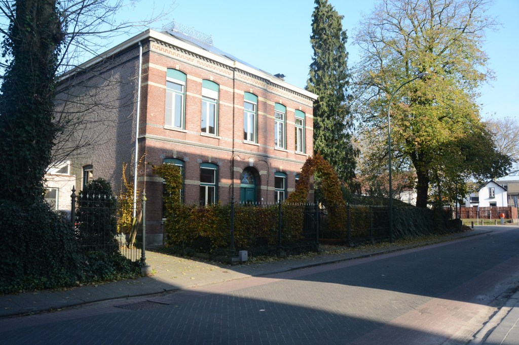
Impressive Buildings and Monuments


Other border curiosities


The Lost Quadripoint
Well it is not really lost, I just could not find it although I was in the right area. Quadripoints are the holy grail of bordergeeks and in Baarle one is formed where Exclaves H1 and H2 meet. There were only two other ‘bi-national quadripoints’ in the world: the Austrian semi-enclave of Jungholz in Germany and a similar one in Bangladesh up to 2015 when land exchanges with India erased it. According to reports from other border enthusiasts this point is marked with a metal pipe (details here). I however was unable to find it, although I could distinguish the differing fields (I think).
UPDATE a local border enthusiast has shared the following coordinates 51°26’10.0″N 4°56’23.9″E for my next visit.


References
- De Grenspalen a Dutch border website by Eef Berns . Details here
- Ontheborder.eu another Dutch border website by Jannis Deeleman. Both websites provide much more detail both historical and geographical. Details here

Date of Visit: 21/11/2014
