
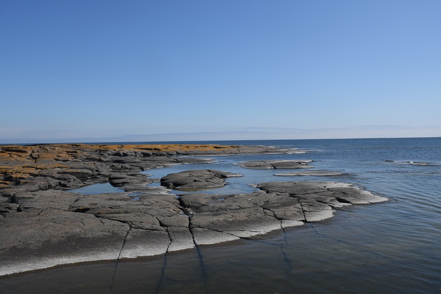
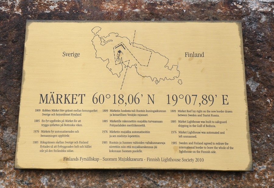
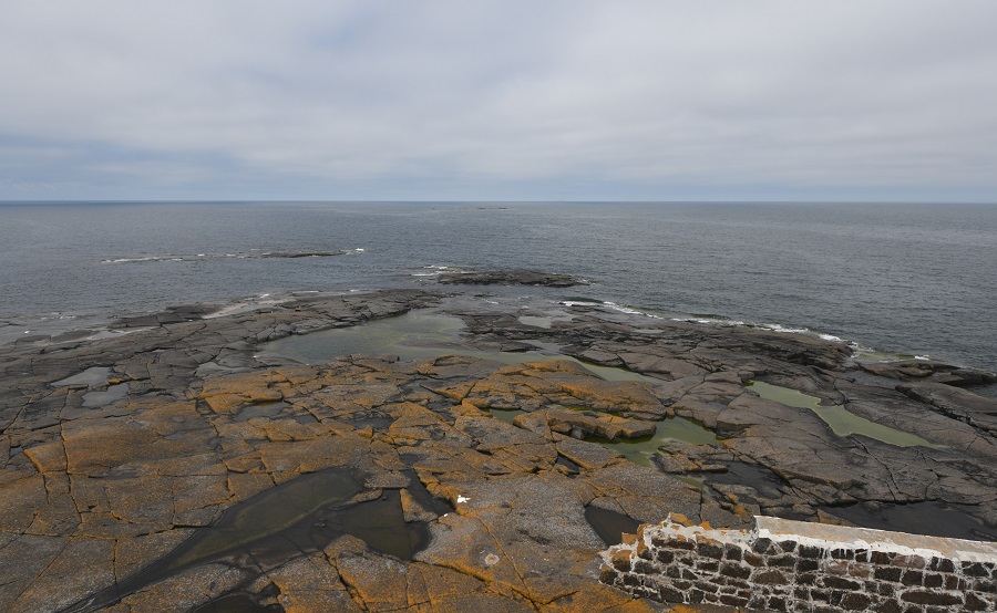
Märket is a 3.3-hectare uninhabited low lying rocky island (often described as a skerry) in the Baltic Sea shared by Sweden and Finland (in the area of the autonomous region Åland), with a lighthouse as its salient feature. Märket has been divided between the two countries since the Treaty of Fredrikshamn of 1809 defined the border between Sweden and the Russian Empire as going through the middle of the island. The Finnish side of the island is part of the Municipality of Hammarland and is the westernmost land point of Finland. The Swedish part of the island is itself divided by two counties of Sweden: Uppsala County (Östhammar Municipality) and Stockholm County (Norrtälje Municipality).

The island is roughly 350 metres long by 150 metres wide, and has an area of about 3.3 hectares. It is the smallest sea island shared by two countries.
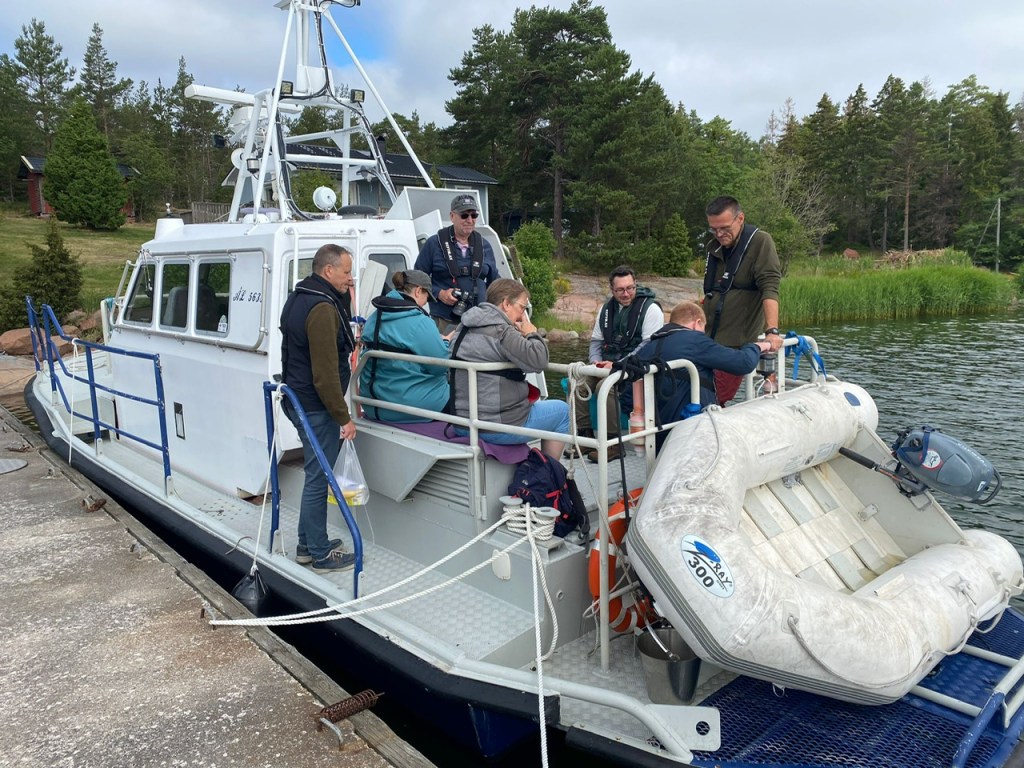
The Journey out
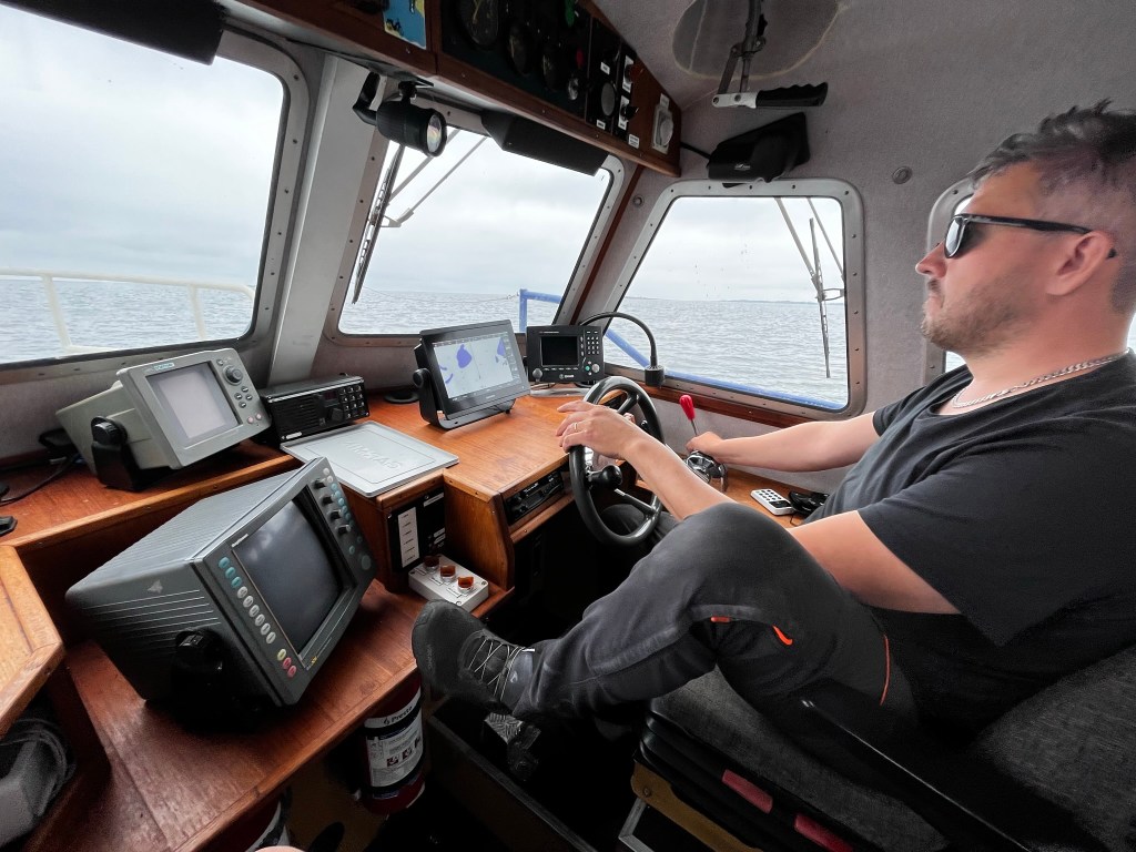
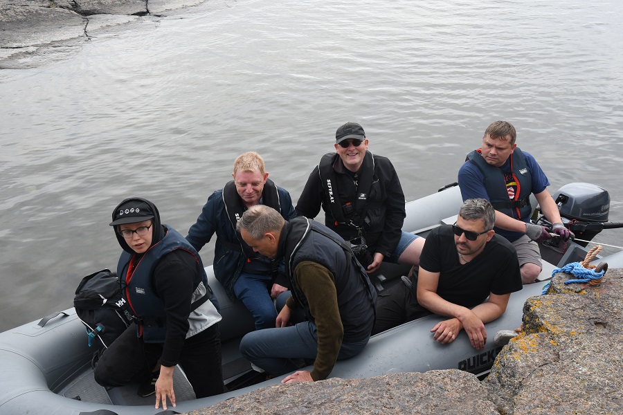
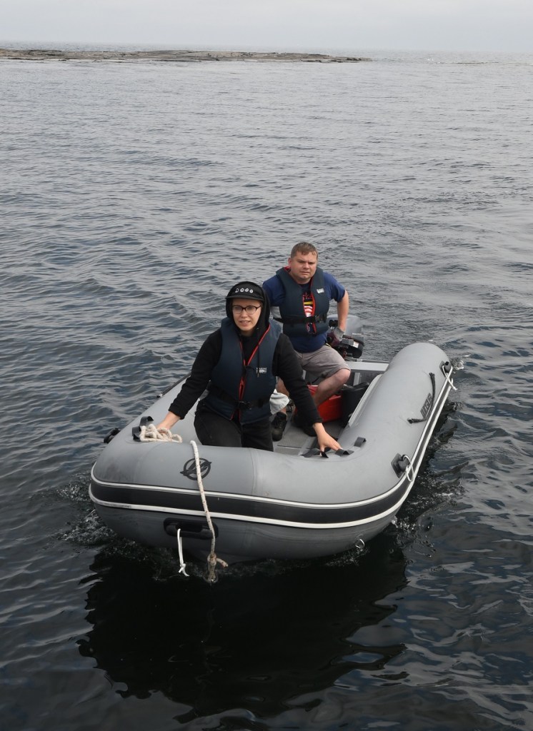
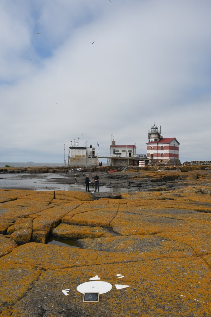
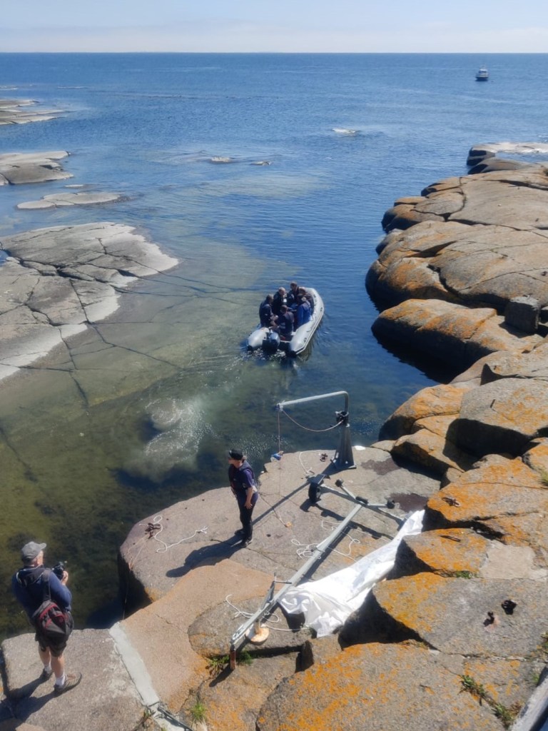
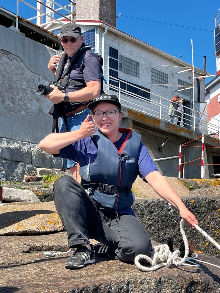
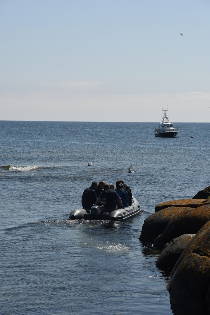
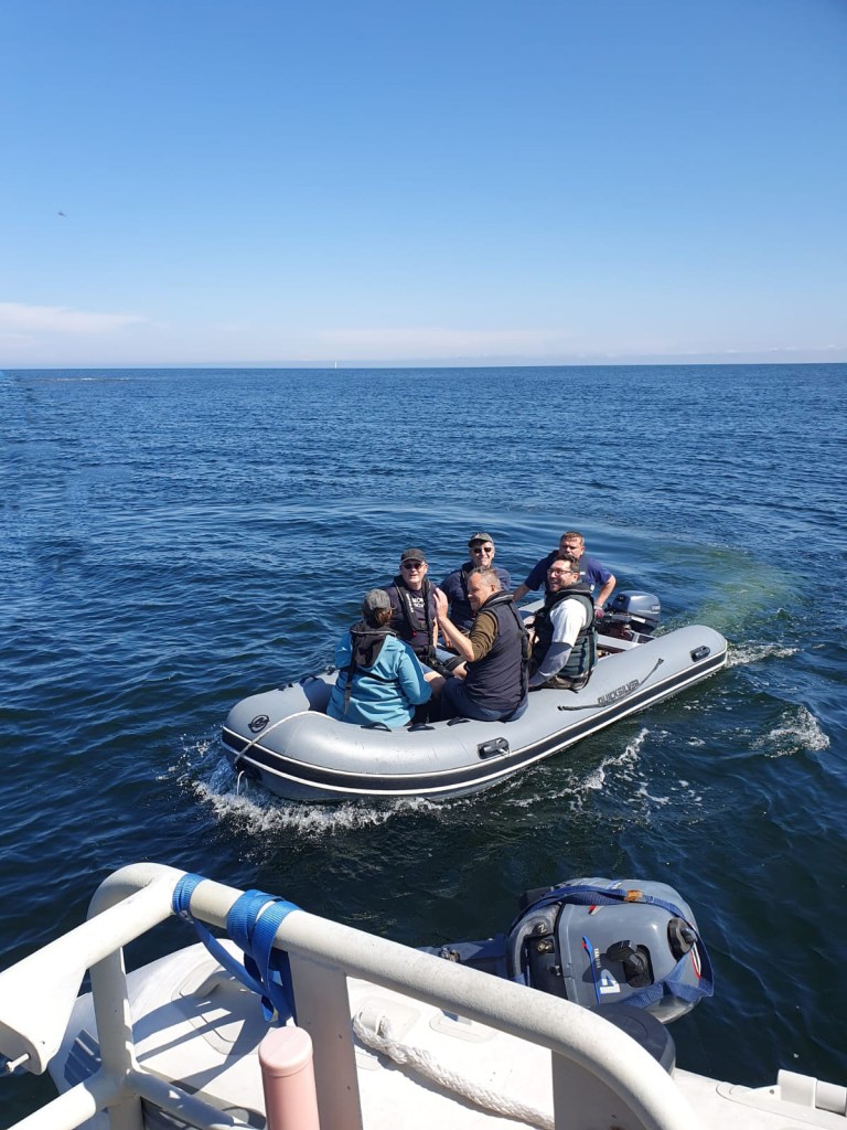
After breakfast the group travelled the short journey from Mariehamn to Käringsund. Märket island is about 30 km from the port and takes about an hour and 20 minutes to get there. There is no harbour on the island and so we needed to transfer to a smaller inflatable to get to the shore. This was crewed by the volunteers of the Finnish Lighthouse Society.
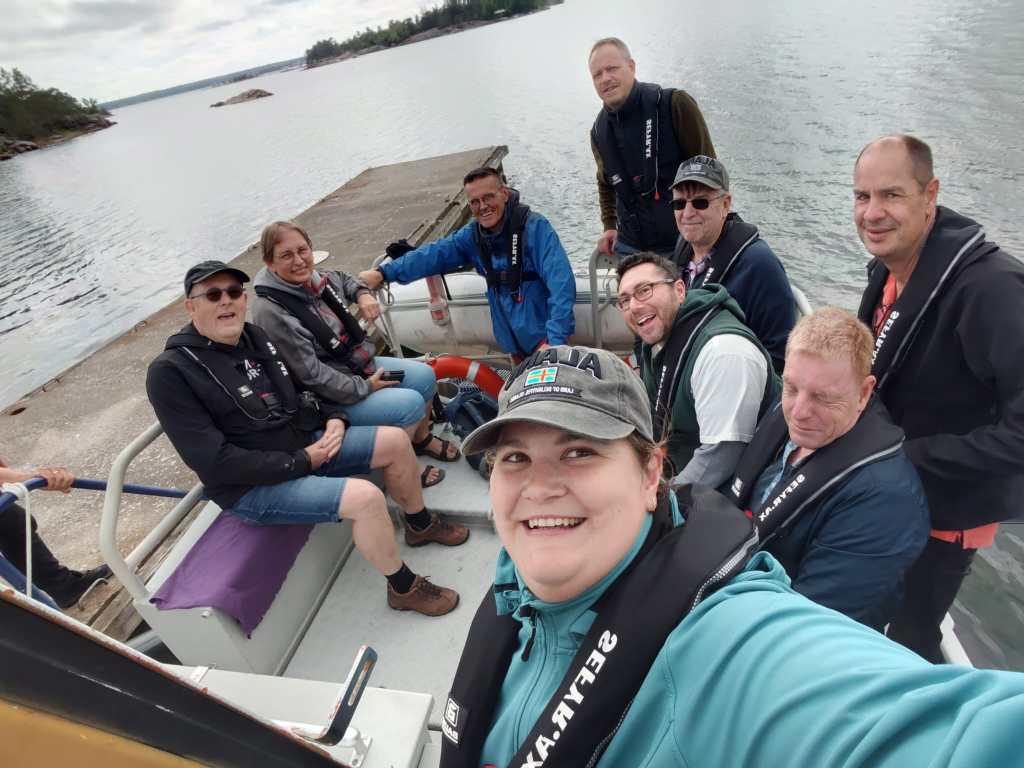

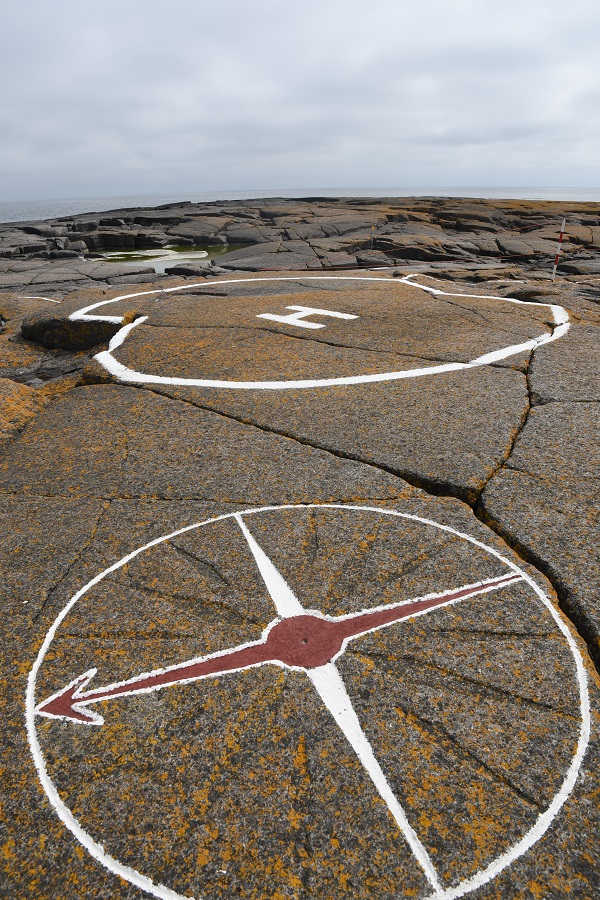
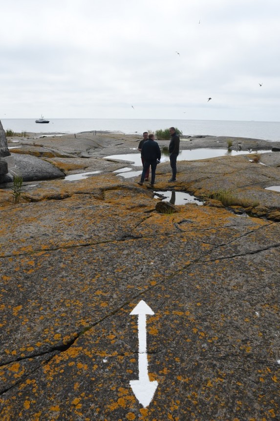
Arrived!!

The Border
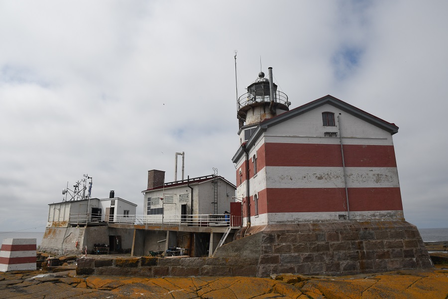
The 1809 Treaty of Frederikshamn divided the island equally in half with the border consisting of a straight line (imagine a line between the current BM#11 and BM#12). The situation remained unchanged after 1885 when the Russian lighthouse was built on the Swedish side of the line. The lighthouse remained Russian and was administered by Russia and subsequently Finland after 1917.
For almost 100 years this fact was overlooked and it wasn’t until the 1980s that a group of surveyors, while doing a regular survey of the border, decided to rectify this situation by adjusting the border. There were two conditions that their solution had to meet in order to be accepted by both countries:
- The change had to result in no net transfer of territory between the countries.
- There could be no change to the coastline owned by each country because this defined their fishing rights.
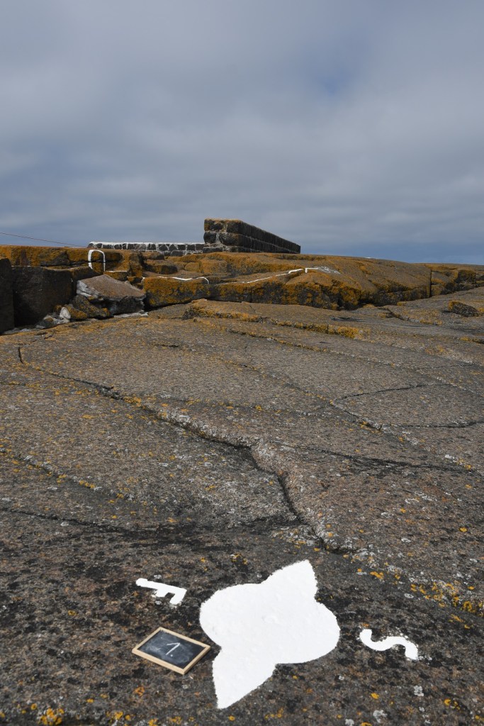
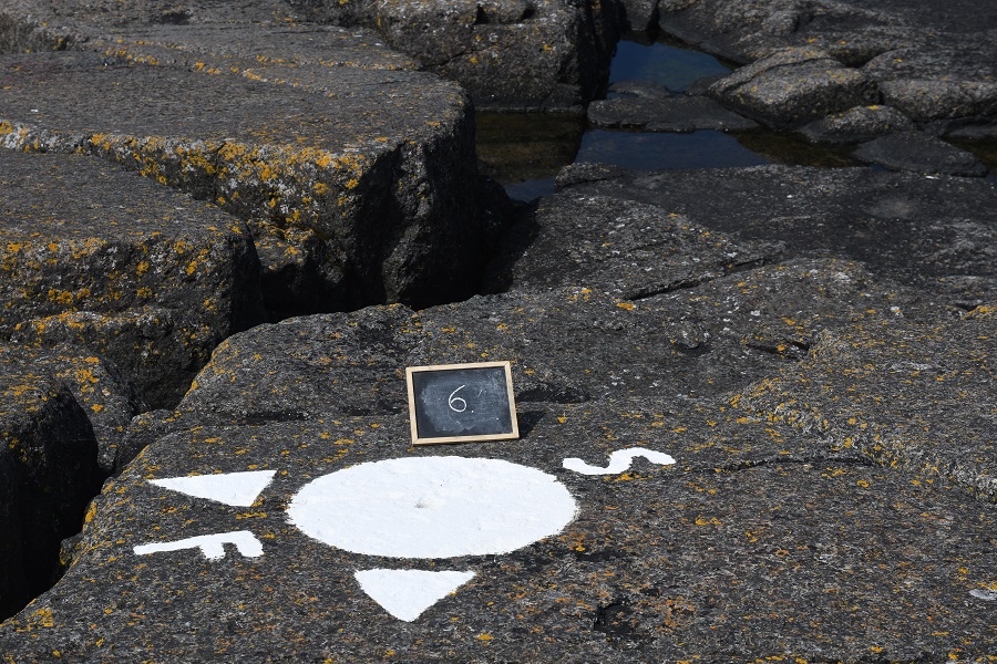
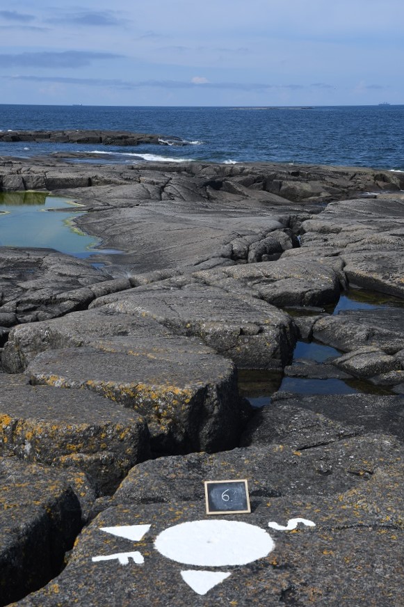
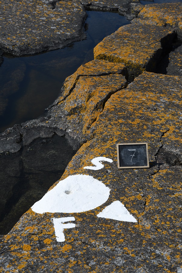
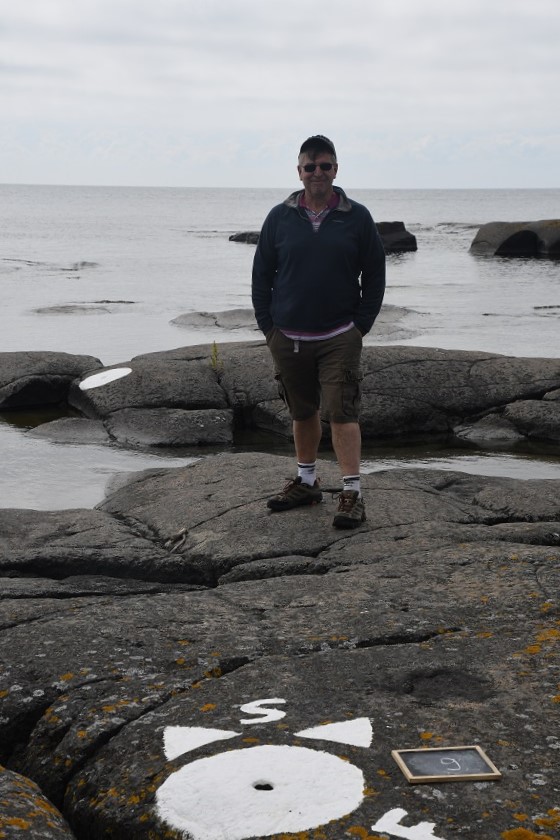
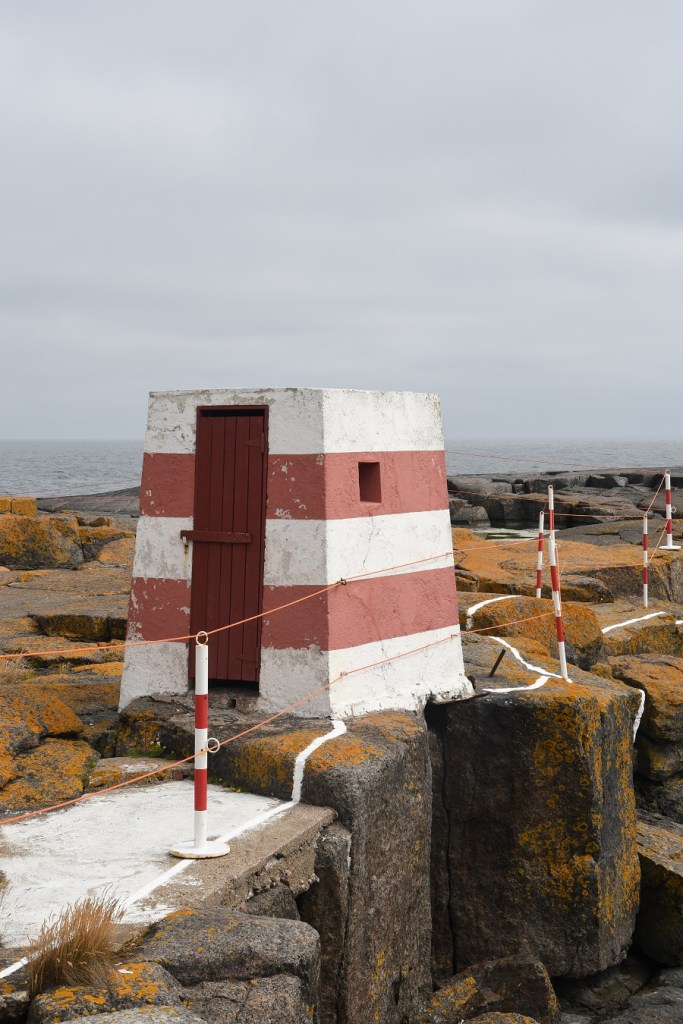
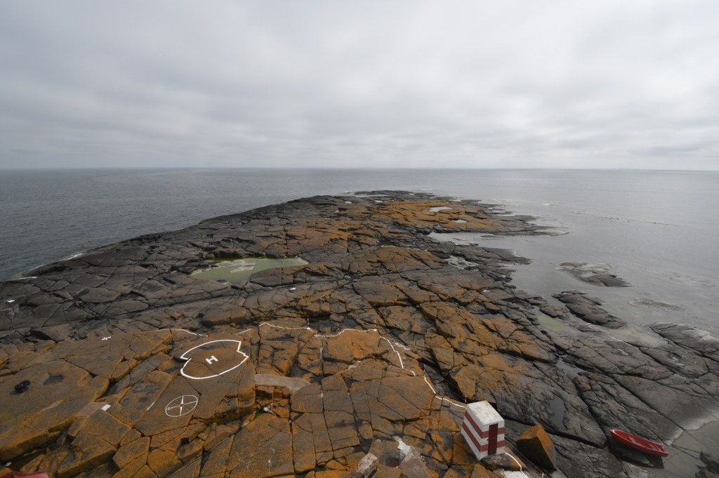
The clever solution they came up with was to loop the border around the lighthouse, putting it back on the Finnish side and then to loop back into the Finnish side so that Sweden kept the same amount of territory. The adjusted border takes the form of an inverted ‘S’, and the lighthouse is connected to the rest of Finland only by a short stretch of land. The border on the island is around 480 metres. The border is regularly resurveyed every 25 years by officials representing both countries. The last such joint inspection took place in August 2006. There are 11 border markers on the island. These markers are holes, drilled in the rock, since 2007 painted with a white dot. Border marker #7 is also the westernmost point of Finland on land.
Because of the Nordic Passport Union and the Schengen Agreement, there have been no passport checks or other border formalities at the border since 1958. It is however a time zone border and at the time of our visit the external border of NATO.
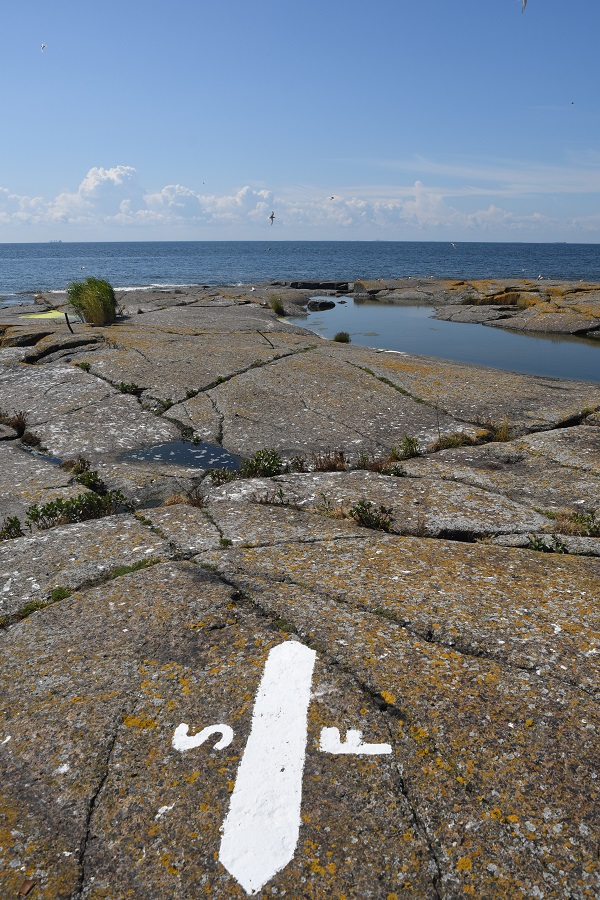
Border markers

The map above shows the complexity of the border and also the numbering does not follow a logical sequence with the border starting at BM#11 and ending at BM#12. On the ground the sequence is BM#11, BM#2, BM#3, BM#4, BM#5, BM#1, BM#6, BM#7. BM#8, BM#9, BM#12 there is no BM#10. There are supplementary arrows that mark the direction of the border too. To help readers I will replicate the above sequence with my photos below to track the route we took following the markers.
BM#11 – the northernmost maritime border marker

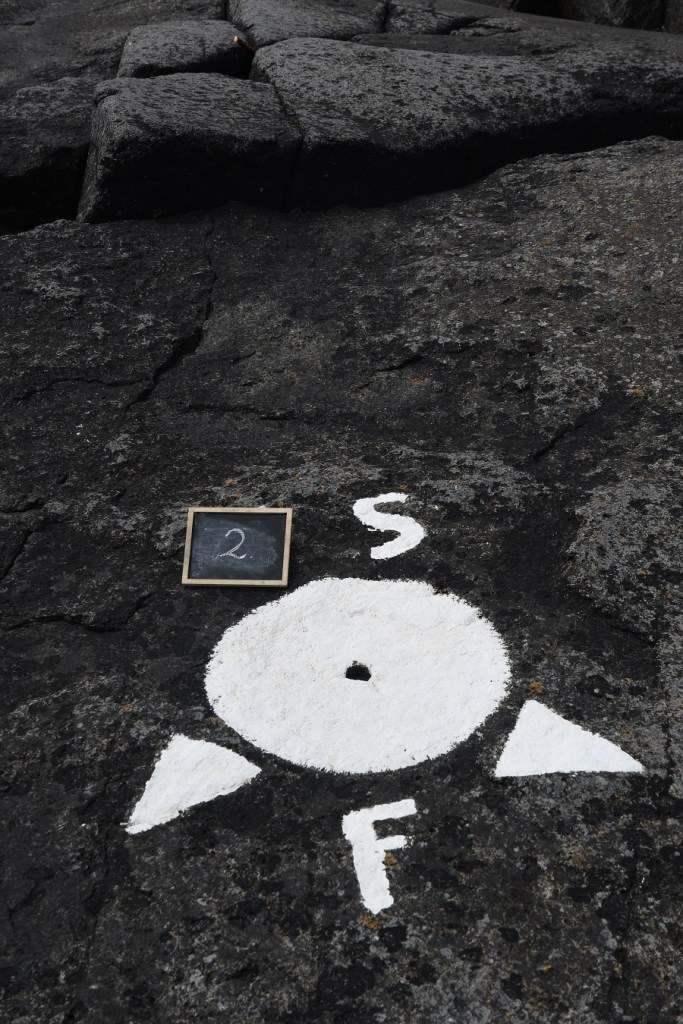
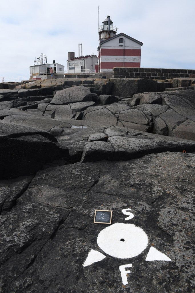
BM#2
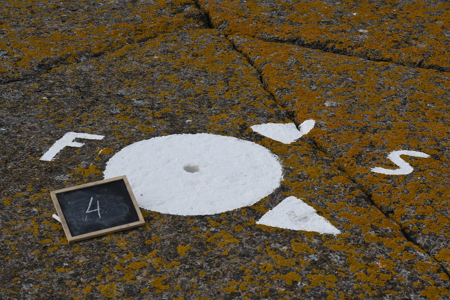
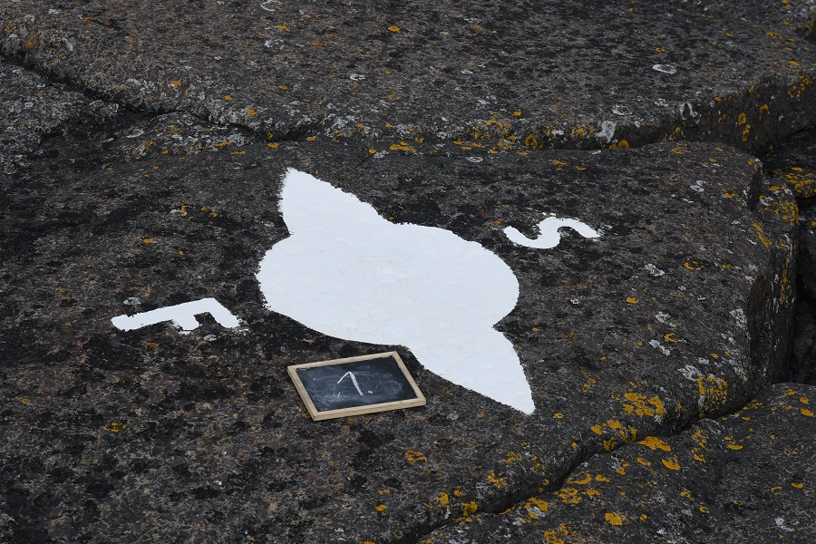
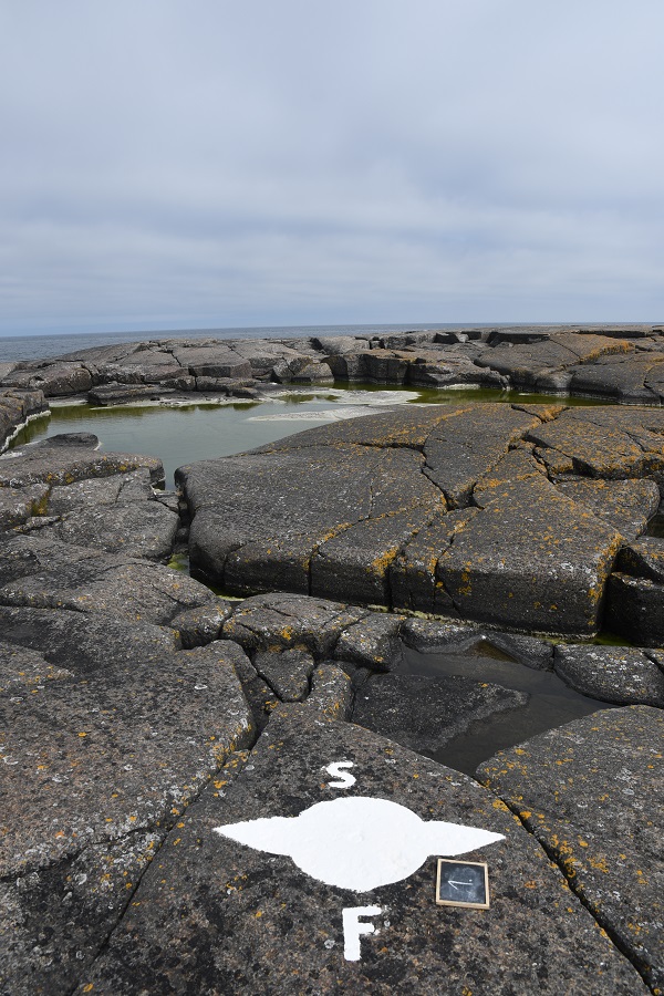
As with all field work there was much discussion and scrutiny of maps, to ensure we did not miss any markers and to understand how the border was configured in reality. At each marker, with the exception of the northern and southern coastal markers (BM#11 and BM#12 respectively) there were 2 arrows denoting the direction to the next border marker. We made the decision of using a chalk board to number each marker to make the sorting of photos easier after the trip.
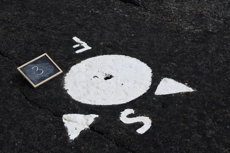
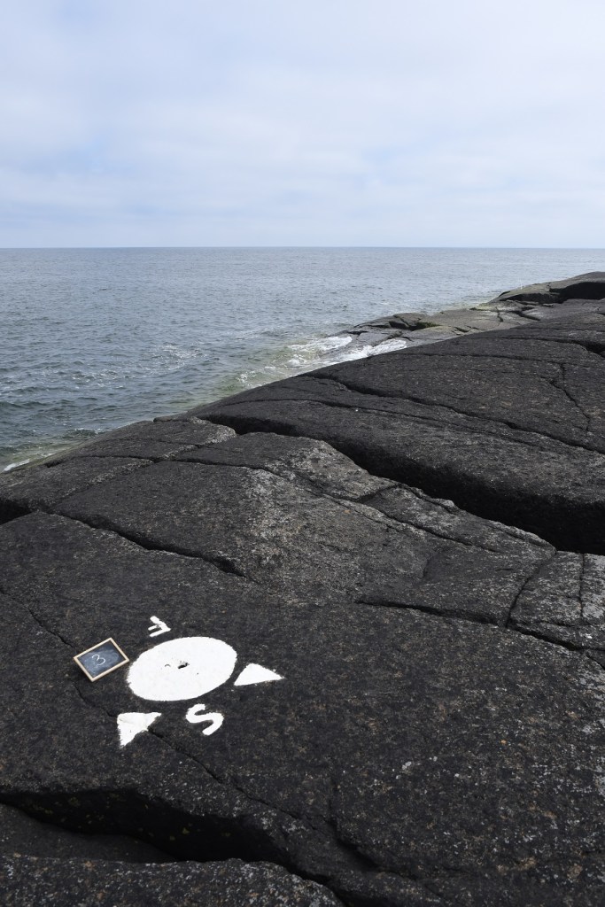
BM#3
BM#4

BM#5


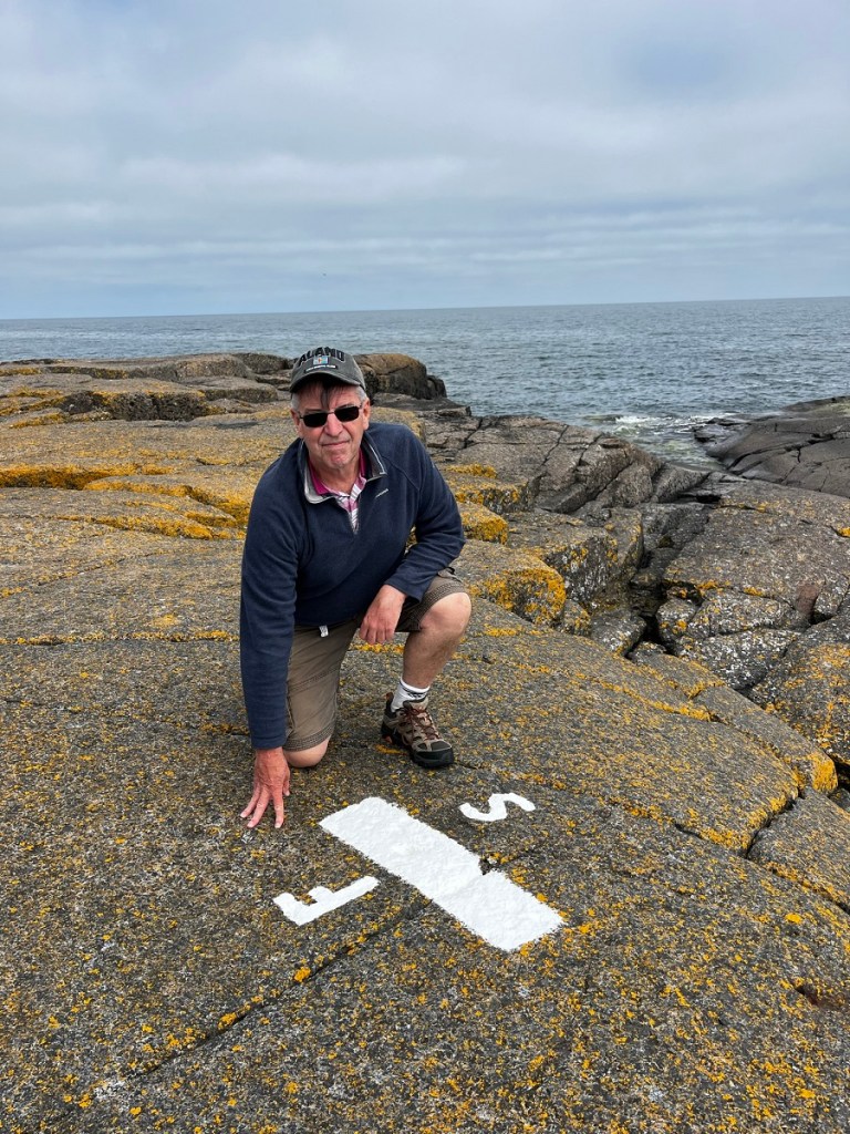
BM#1
BM# 1 is located between BM#5 and BM#6 it is on the “old” border and median line through the island.
BM#6
BM#7 The westernmost point in Finland

BM#8


BM#9

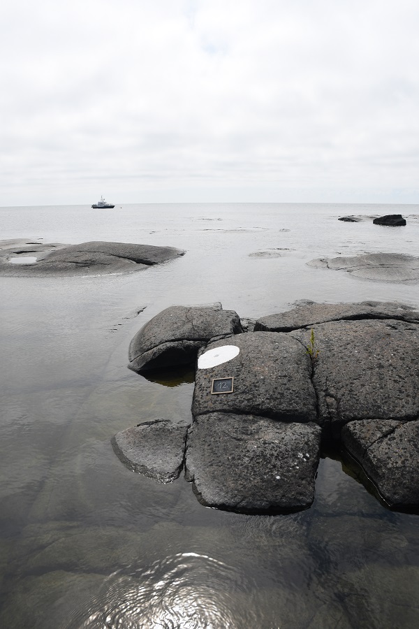
BM#12 the southernmost maritime border marker

Other markers
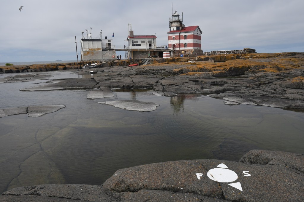
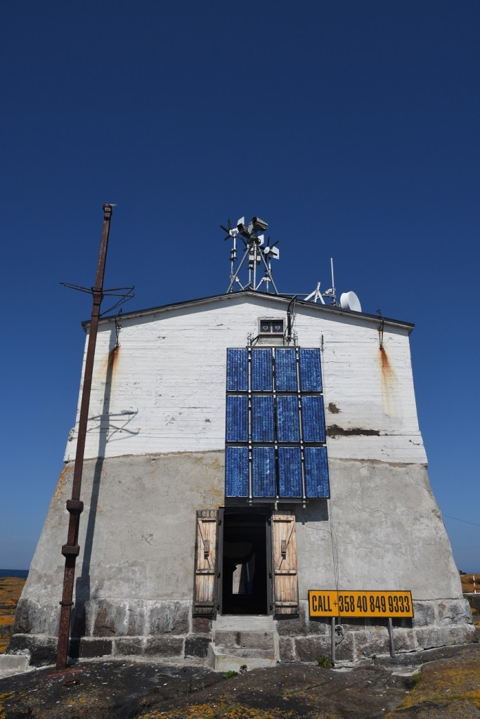
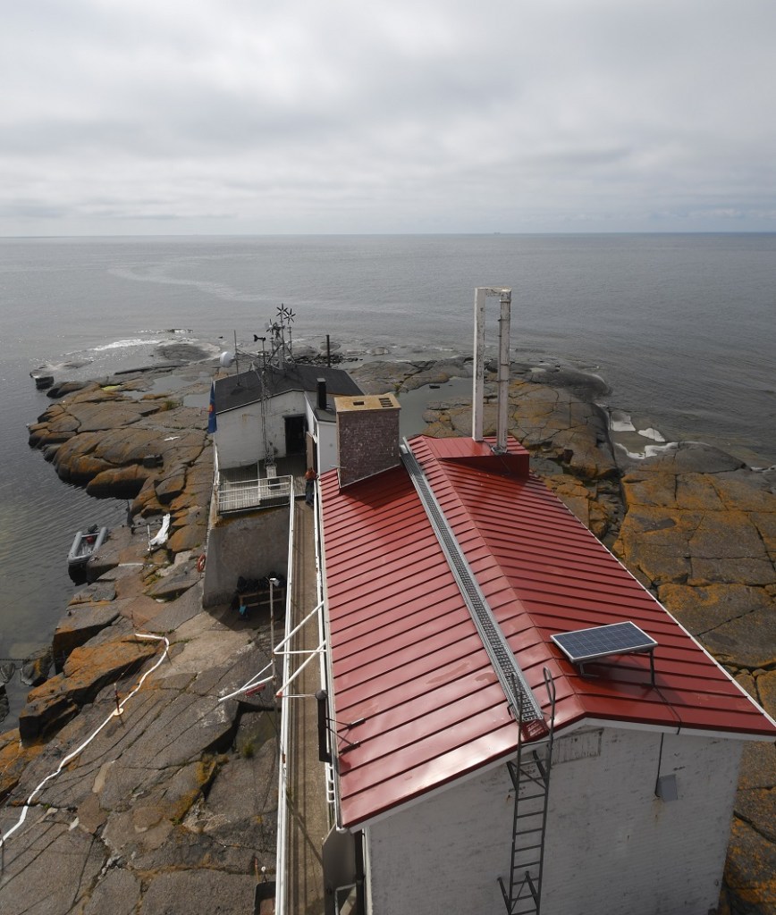
The Lighthouse & the Island
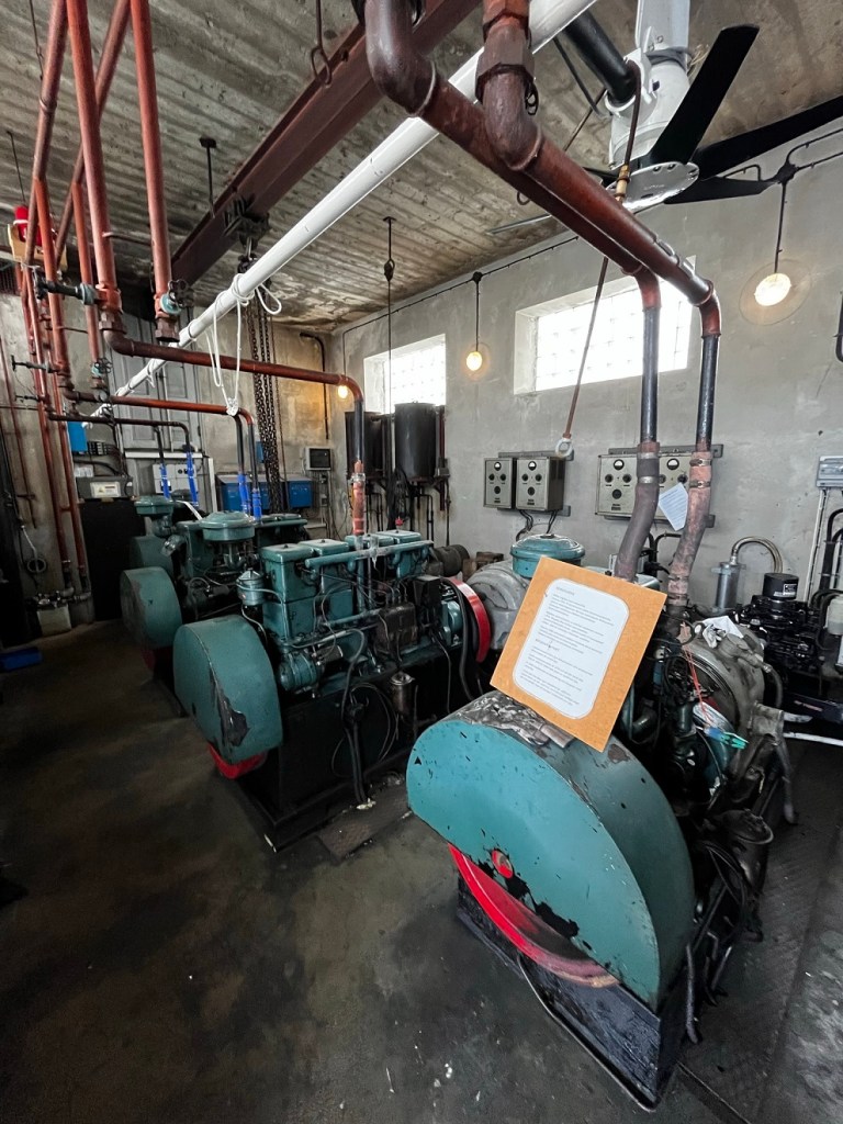
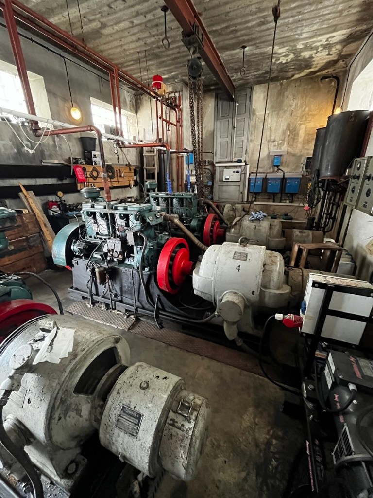
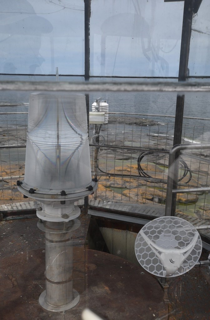
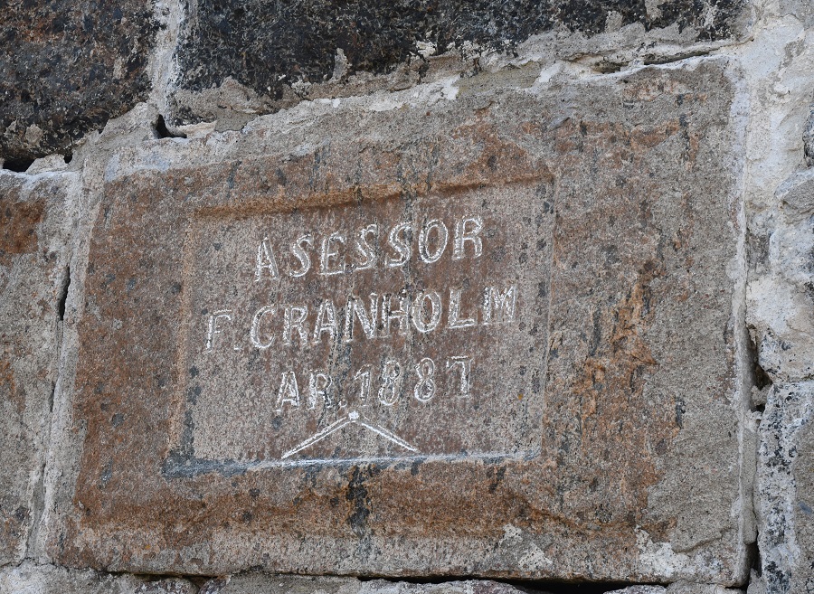
The 1809 Treaty of Frederikshamn, which confirmed Sweden’s loss of Finland to Russia in the so-called Finnish War, also granted Moscow the strategic Aland archipelago, between Stockholm and the Finnish mainland. The new border ran straight through Märket although it was not surveyed or demarcated. In 1885 the Russians erected a lighthouse on the island to aid shipping in the surrounding, treacherously shallow waters. The lighthouse was built on the highest point of the island to make it more visible and protect is from the sea and drift ice. The lighthouse has been automated since 1977, and in its uninhabited state had degraded quite severely, until the Finnish Lighthouse Society began working on the island in 2006, repainting the lighthouse in 2009. It has since been carrying out restoration work (and guided visits) every summer. This was a pleasant surprise for us, as the volunteers were very knowledgeable and enthusiastic and we were able to explore the lighthouse, buy souvenir t shirts and send postcards with a special stamp.
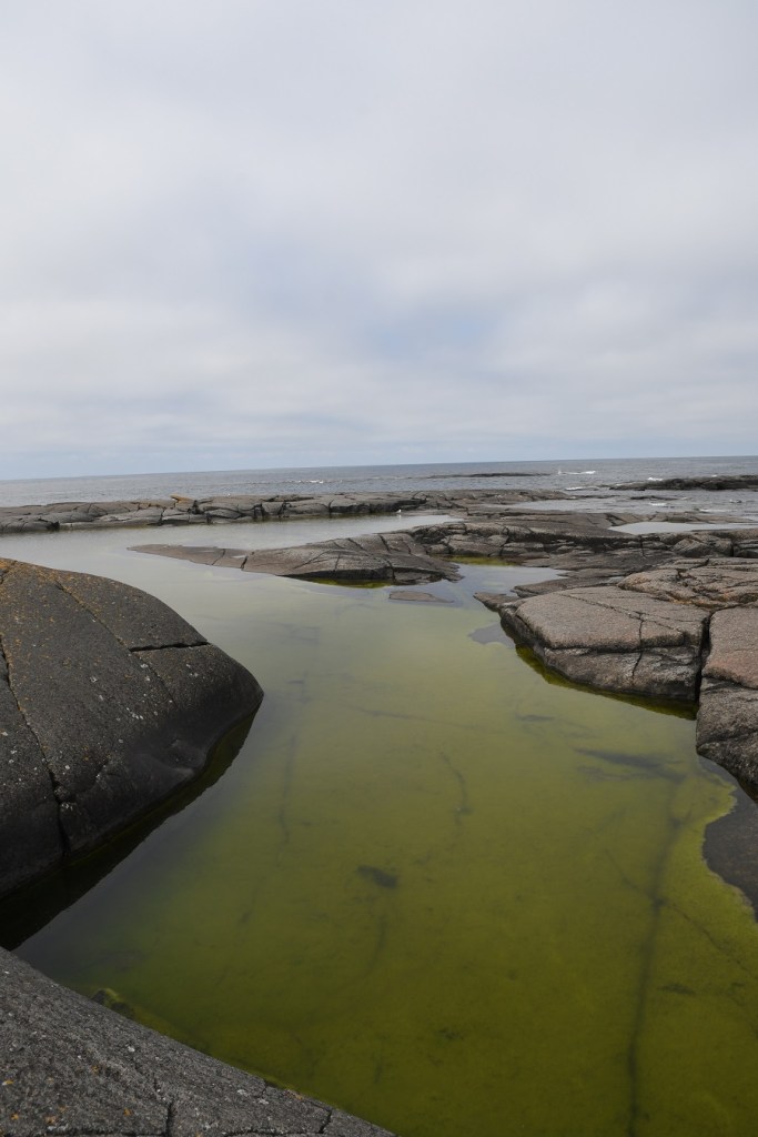
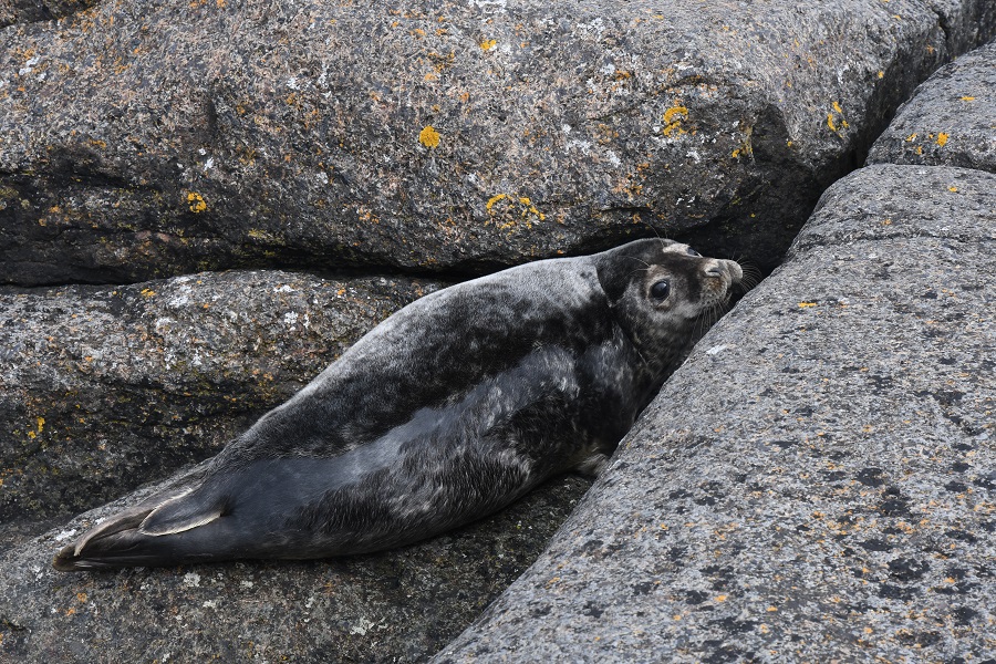
The island has rock pools (where one hardy member of our group went swimming), has vegetation in the form of grasses and is home to grey seals. Amateur radio enthusiasts have a particular interest in Märket. Harry ten Veen provides useful detail here.


Although our focus was the border, the lighthouse, and the island were fascinating, the light, huge horizons, and the overall strangeness of it all made the place almost magical.
The Views
An added bonus and one we had not thought was possible was climbing the lighthouse tower and seeing the whole island from height. Everywhere we looked there was white paint that represented the border markers we had explored.

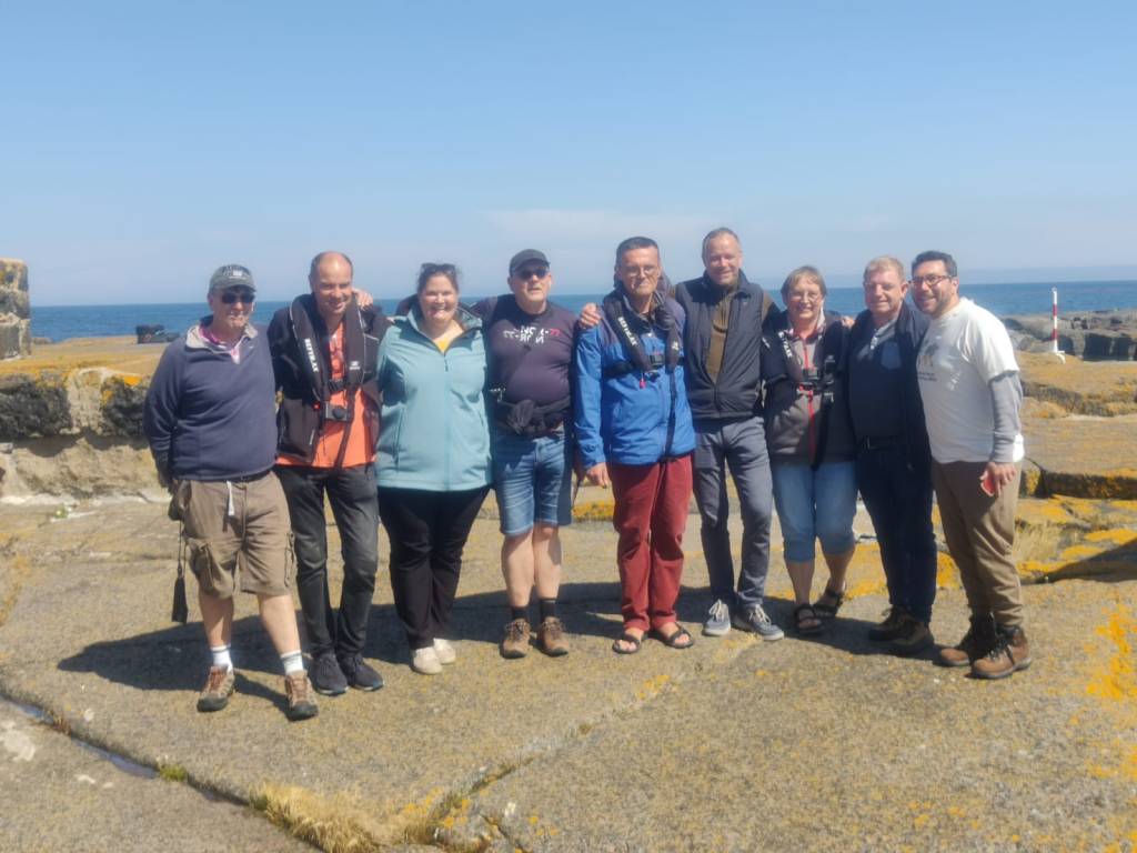
Celebrations

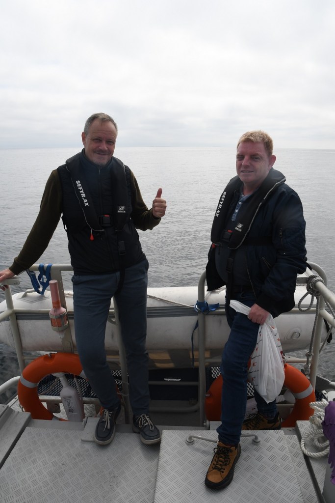
Leaving
Sadly all good things need to come to an end and after 3 hours on the island it was time to return to the mainland. An amazing visit, one of the most memorable border expeditions, with great company and much fun.

Other IBRG Members Reports
Please review other reports on Market Island from trip participants and other IBRG members.
- Jannis Deeleman (NL) an IBRG member and author of the Ontheborder.eu website. His report is here.
- Piet van der Giessen (NL) an IBRG member and author of the Grenspalen.one website. His report is here
- Harry ten Veen (NL) an IBRG member and author of the BorderLand website. His report which was very helpful in the planning stages of this trip is here
References
- The Finnish Lighthouse Society. Many thanks to the wonderful volunteers who supported us on our visit to the island: Juuso (OJ0JW), Anna, Jenna, Lisa, Päivi and Taina. Please click on the image above for their website. Their diary of our visit is here.

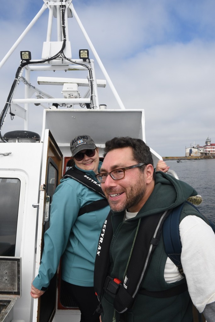
- Fredrik Holmström, Sefyr Tel. +358405909333 Email: mssefyr@gmail.com WWW: www.sefyr.ax Many thanks to Fredrik who expertly transported us to and from the island. Please click on the image above for their website.
- Treaty documents relating to the 1981 survey and marking of the borders. WWW and PDF
Videos

Date of Visit: 8 July 2023
