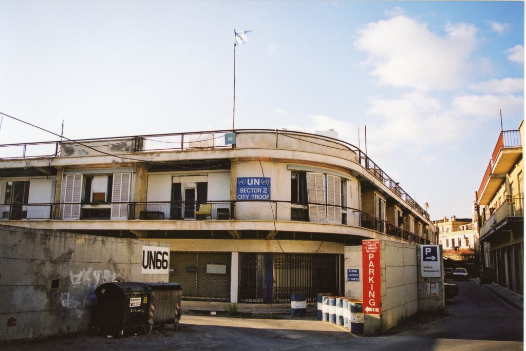
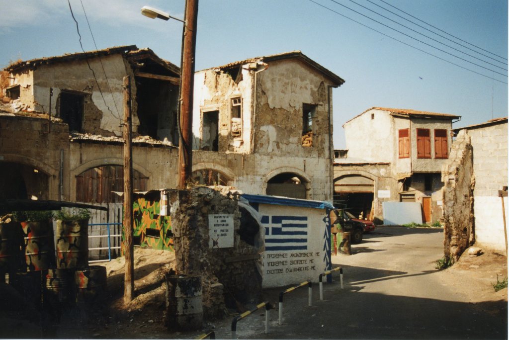
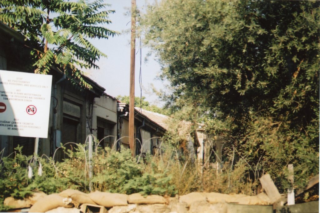
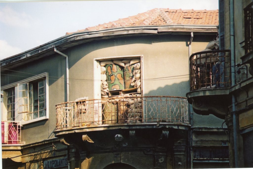
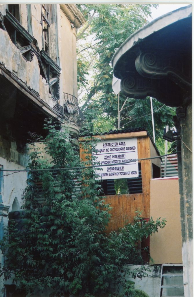
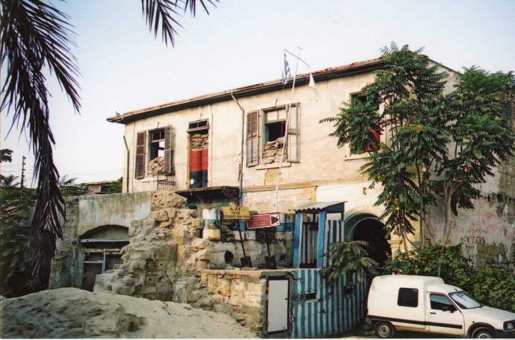
After 1974, most of Cyprus’s Greek and Turkish Cypriots have lived separately in northern and southern regions of the island that are currently divided by a UN-controlled Buffer Zone. The Buffer Zone – also called ‘the Green Line’ – extends approximately 180 km across the island. It is most visible within Nicosia where it is only a few metres wide. In the areas where the demilitarized line cuts through the capital, the zone is strewn with abandoned buildings, gardens, vehicles, and includes the decaying Nicosia International Airport.
My visits to the capital where part of non specific border trips but I was able to capture a number of photos from the edges.


References
- In Nicosia, the world’s last divided capital, a spirit of reconciliation is stirring across the fence. The Guardian here
- Rare Photos Inside the United Nations Buffer Zone in Cyprus. Peta Pixel (2018) here
- Where time has stood still for 50 years: the UN buffer zone in Cyprus – in pictures The Guardian (July 2024) here
- ‘A miscalculation is a matter of time’: Fears in Cyprus buffer zone as tensions rise. The Independent (July 2024 here

Date of Visits: August 1999 and 2001
