
Usedom is a Baltic island divided between Germany and Poland since 1945. About 80% of the island belongs to the German district of Vorpommern-Greifswald in the state of Mecklenburg-Vorpommern. The eastern part and the largest city on the island, Świnoujście (German: Swinemünde), are part of the Polish West Pomeranian Voivodeship. The island’s total area is 445 square kilometres (the German part 373 square kilometres; the Polish part 72 square kilometres. Its population is 76,500 (German part 31,500; Polish part 45,000).
The main border crossing was reported on here . There were a couple of other trips to the border area.
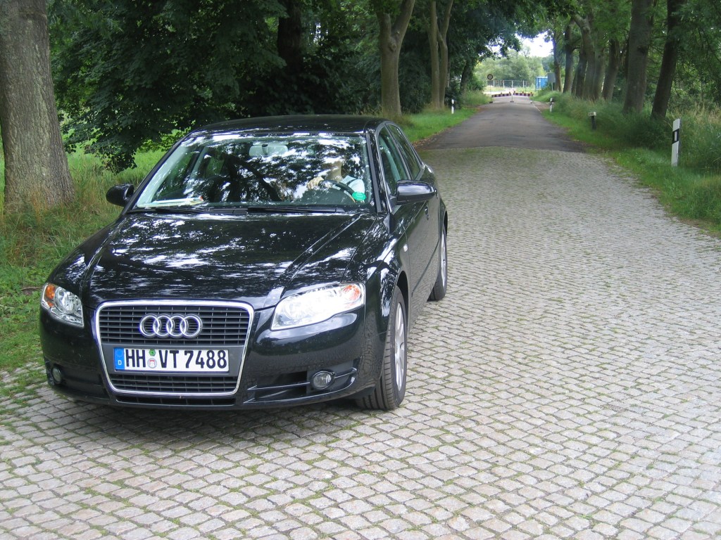
The end of the B110
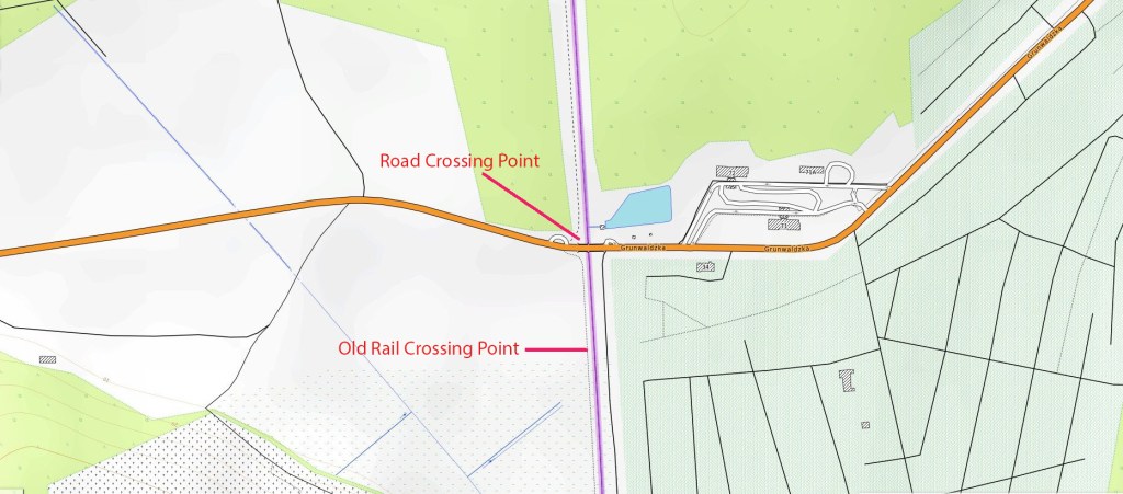
in 2005 the bridge had not been rebuilt and the road ended at the border, although official signs were in place. In 2007 the second road crossing point on Usedom was opened. Pre Schengen there were customs and passport control facilities on the Polish side which were used only for little over a year until Poland joined Schengen. The new crossing was open to pedestrians, cyclists, cars and buses. Environmental concerns are now being raised that about increased traffic.


Additional information can be found in the Article from MV Ostsee.de here

The Usedom Panhandle
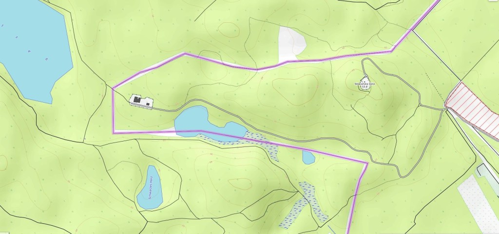
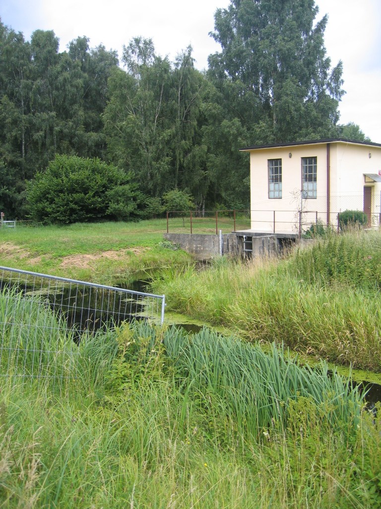
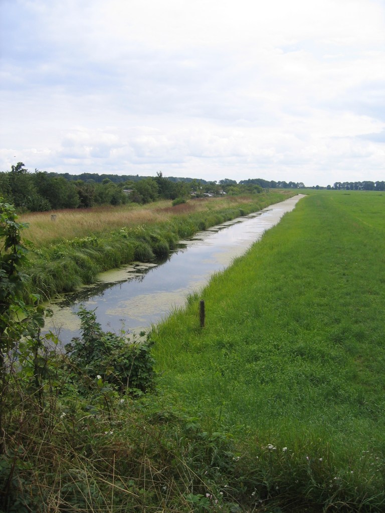
There is a strange element to the Germany – Poland border on Usedom where the border does not follow its normal straight line. This was an adjustment to allow Świnoujście access to fresh water supplies after the division of the island.


Kamminke


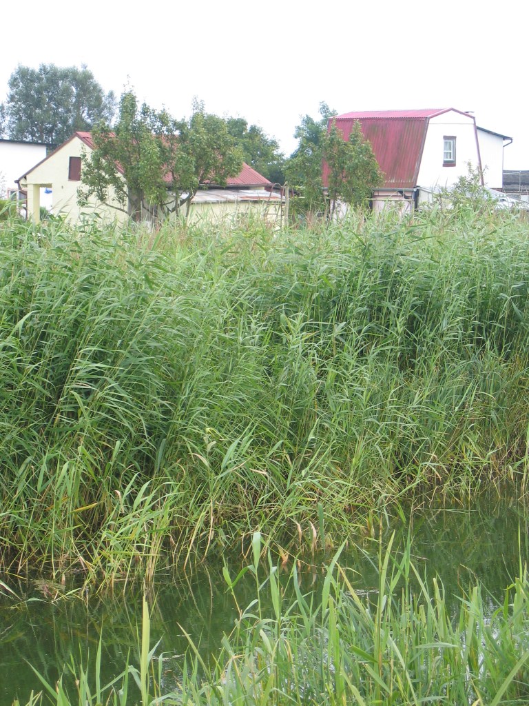


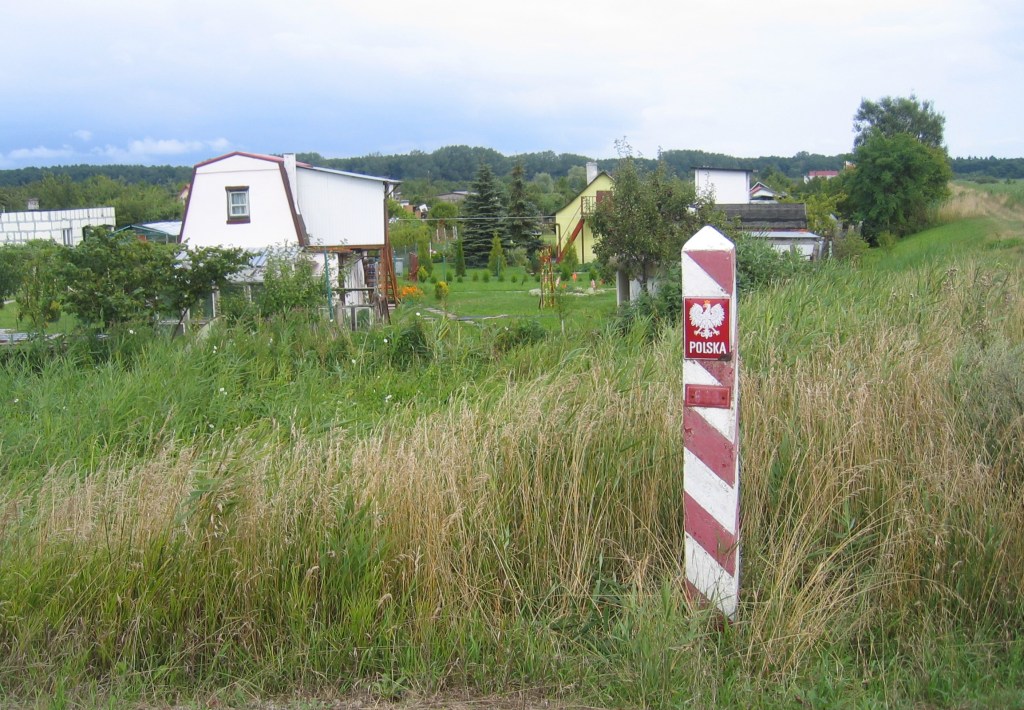


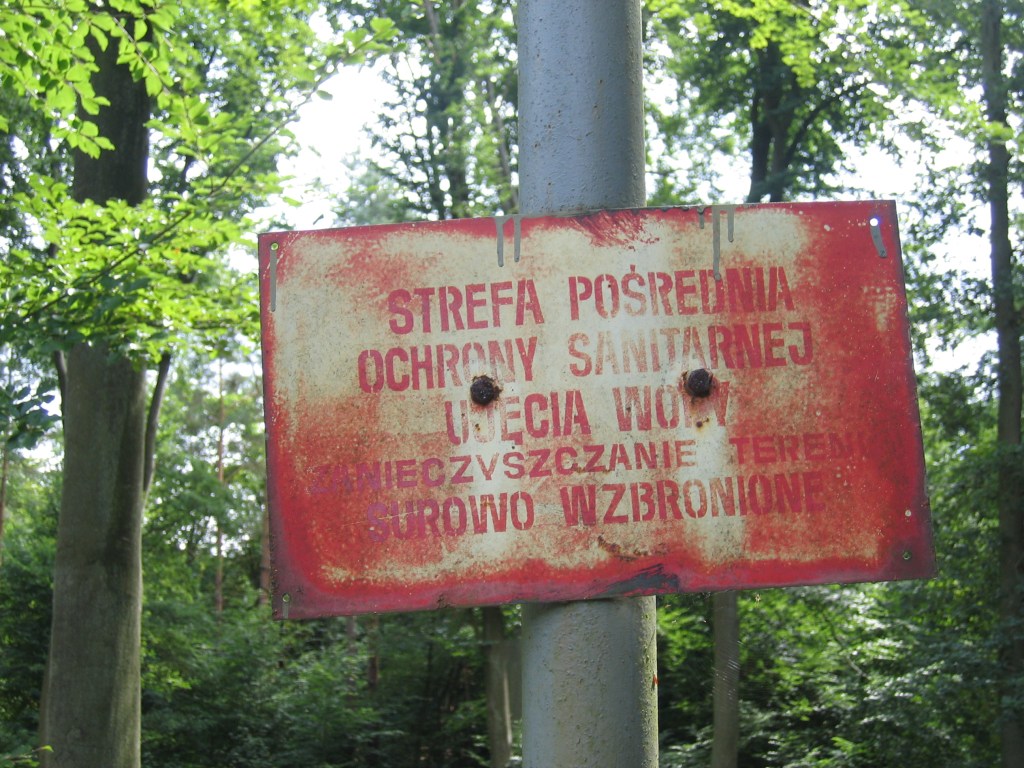
Kamminke is situated right against the border with Poland and in 2005 there were no crossing points, although it was possible to hear Polish families speaking in their gardens.

Date Visited: August 2005
