
SATEX-25 was an ambitious tripoint focused visit to South America. The 4 identified tripoints were varied, and with the exception of the ARBRPY tripoint (one of the most visited and touristic tripoint in the world), the others had been rarely visited, with little or no photos and reports available. It was a step therefore into unfamiliar territory. In addition we sought to visit divided towns, exclaves, visit border crossings (major and minor) and identify border markers and visit contested areas. We needed to be innovative, and ended up hiking, hiring boats, chartering planes and driving long distances to visit all the border POI’s on our list.
In total, 5 IBRG members participated on this trip from the UK (1), Denmark (3), and the Netherlands (1). This multi country expedition: Argentina, Bolivia, Brazil, Paraguay and Uruguay spanned 3 weeks. It can be divided into a number of stages: firstly, arrival and orientation in Buenos Aires with a visit to the unique Isla Martín García 1.84 km² Argentine exclave situated within Uruguayan waters in the Río de la Plata.
Stage 2 is the Uruguayan circular, a road trip taking in UNESCO World Heritage sites, the capital city, as well as several points of border points of interest, included contested areas with Brazil, several border crossings, divided cities and the relatively unvisited ARBRUY tripoint.
Stage 3 moves to the ARBRPY tripoint, perhaps the most famous tripoint in the world where the borders of Argentina, Brazil, and Paraguay meet at the confluence of the Paraná and Iguazú rivers. Visited by many tourists whose main aim is the Iguazú Falls, we wanted to visit each tripoint marker which involved, taking a ferry, a lot of walking, hitch hiking, crossing 2 border bridges and using taxis.
Stage 4 is the Paraguay extension, where the focus was on visiting 2 remote and relatively unvisited tripoints ARBOPY and BOBRPY both located in the northern Chaco area with poor roads and long distances to contend with. Little did we know that we end up being trapped and cut off and needing to travel down the Rio Paraguay on a boat for 36 hours just to reach a port where getting a bus back to Asunción was possible.
Stage 1 – orientation in Buenos Aires & an Argentinian exclave
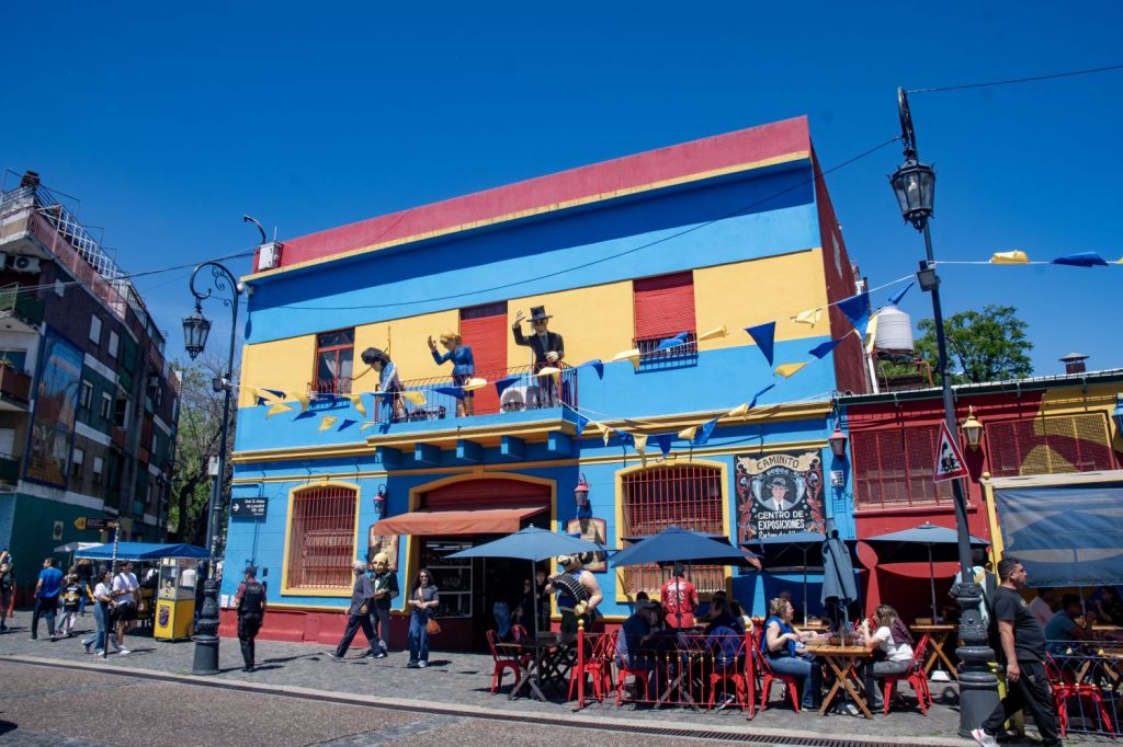
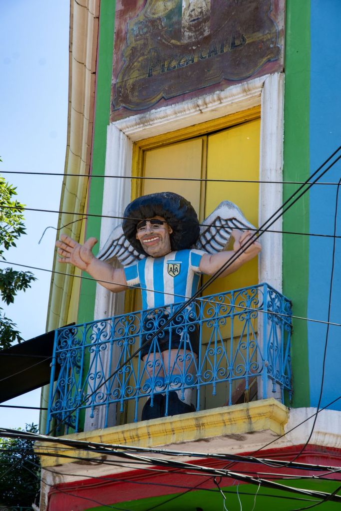
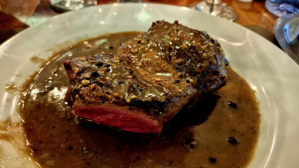
Unlike some European trips where the primary focus is borders, we wanted to explore the countries we were visiting more widely. Buenos Aires is a vibrant, European-influenced metropolis known for its rich culture, incredible steak, glorious Malbec and distinct neighbourhoods. There is lots to see and do, areas not to miss are La Boca, San Telmo, Palermo, Recoleta and Plaza de Mayo.
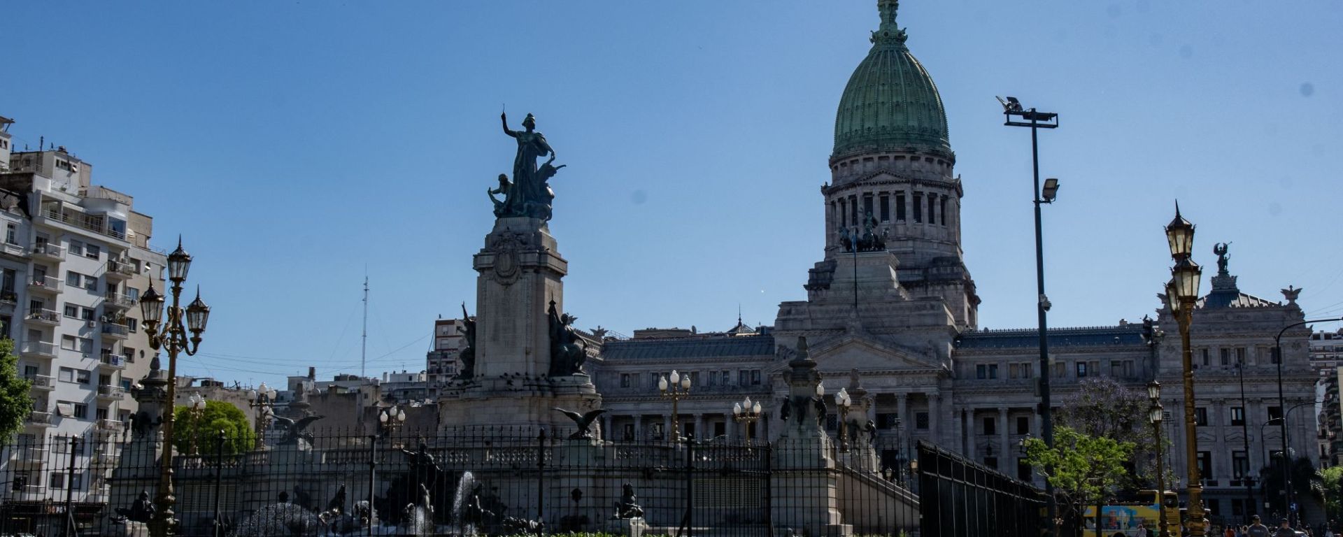
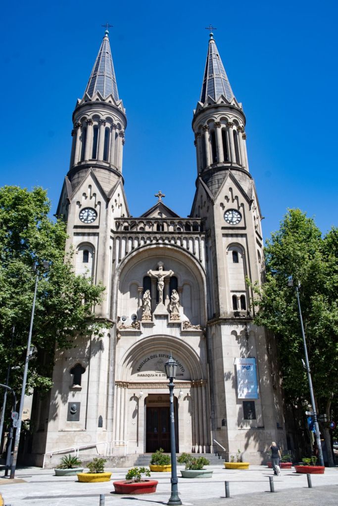
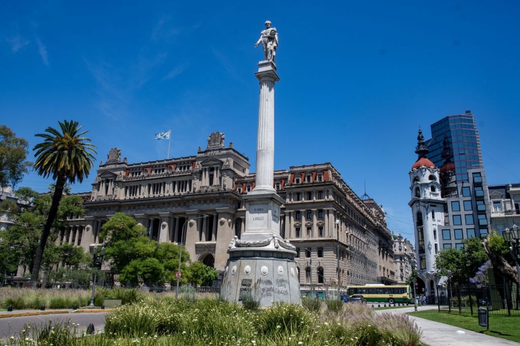
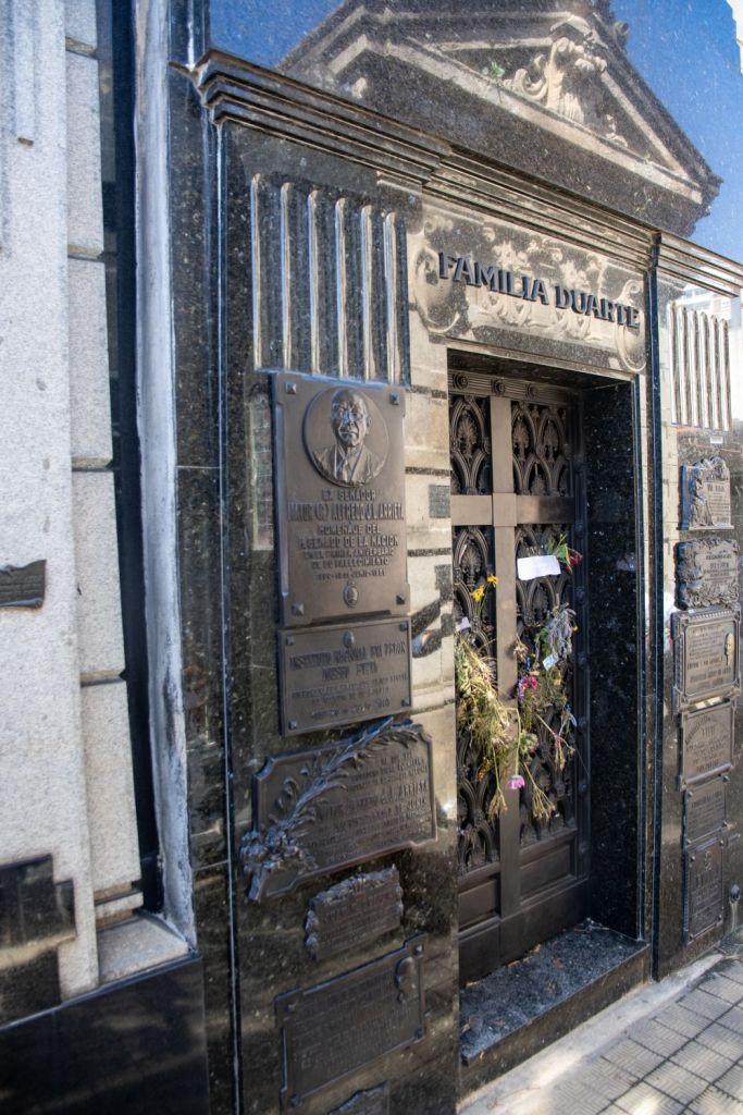
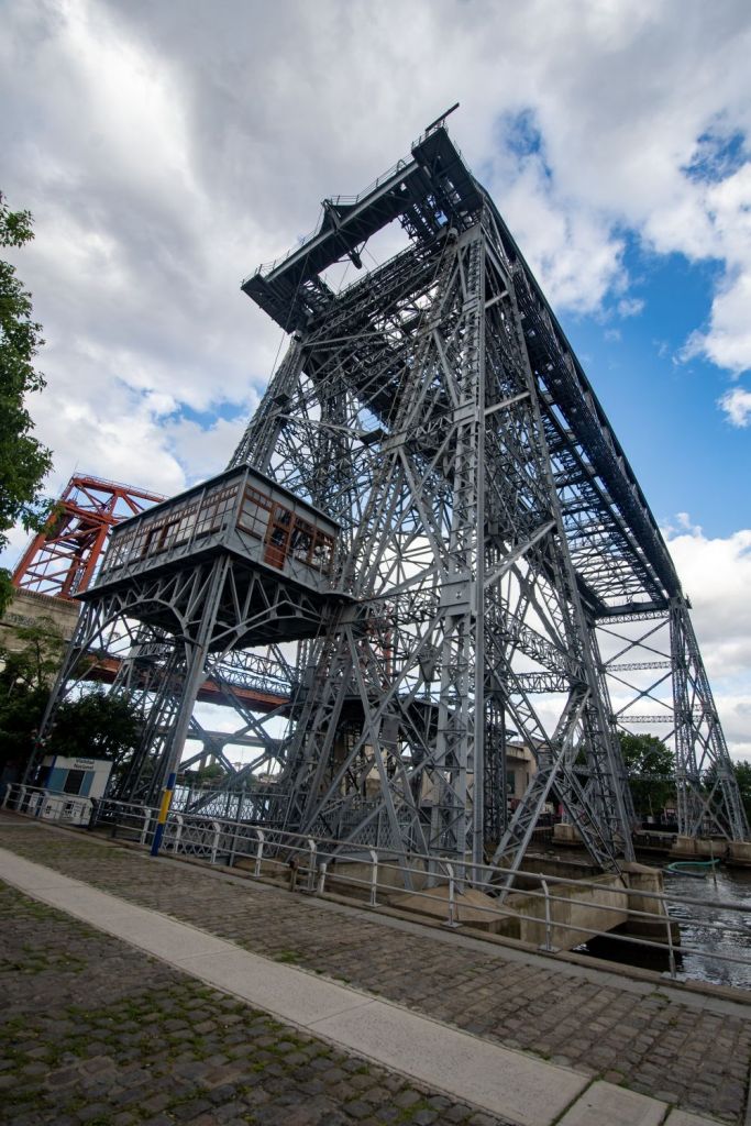
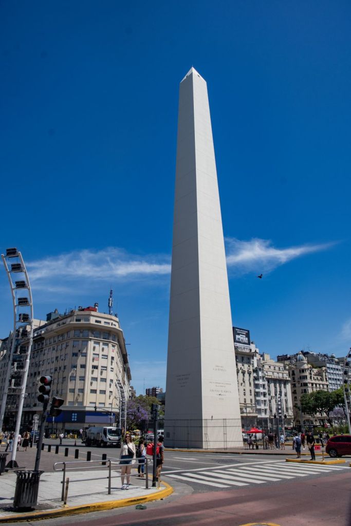
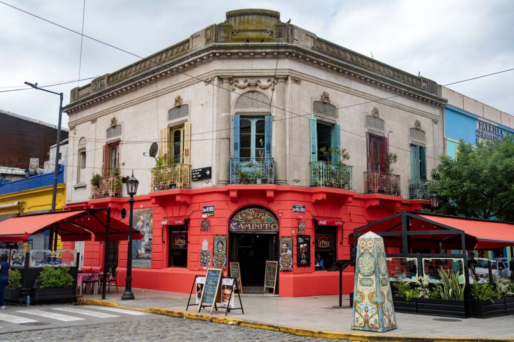
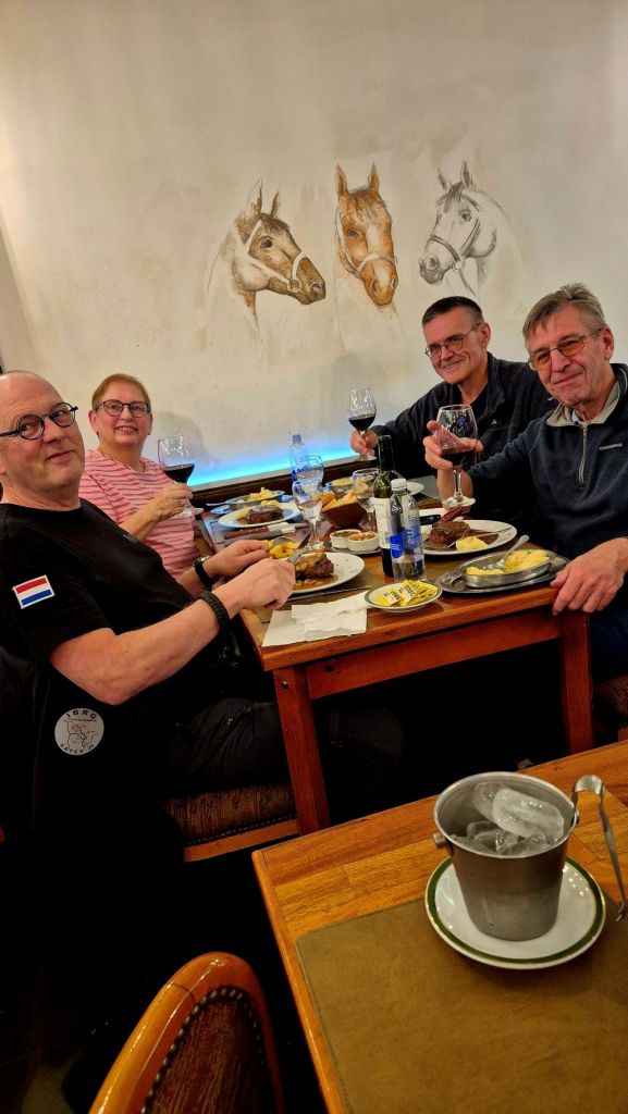
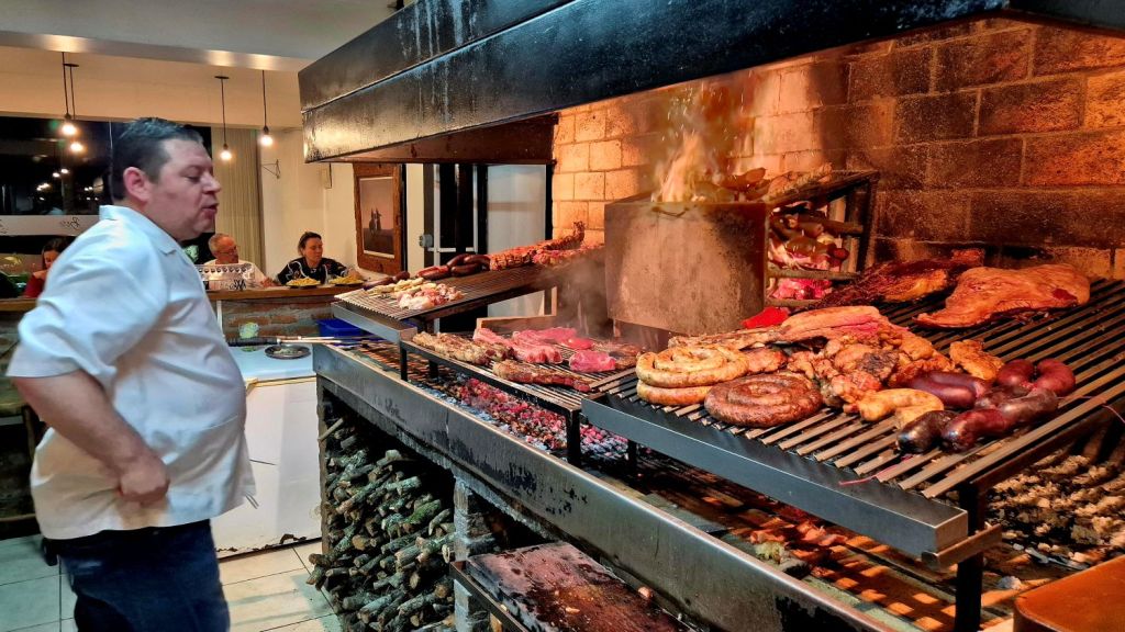
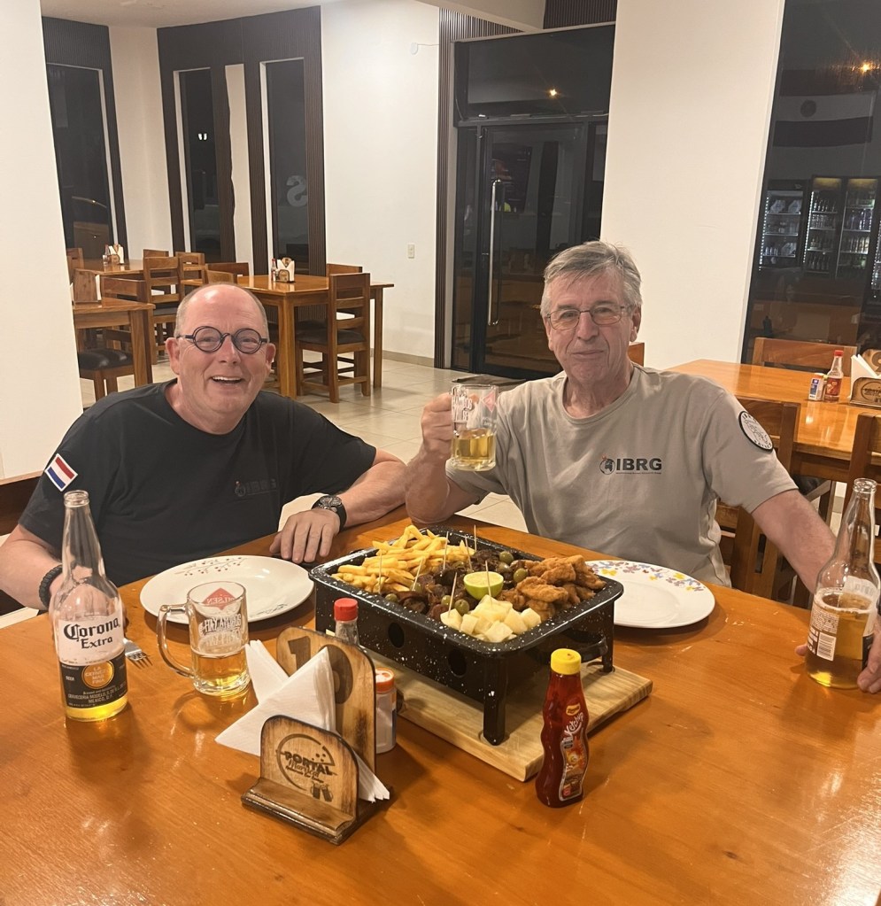
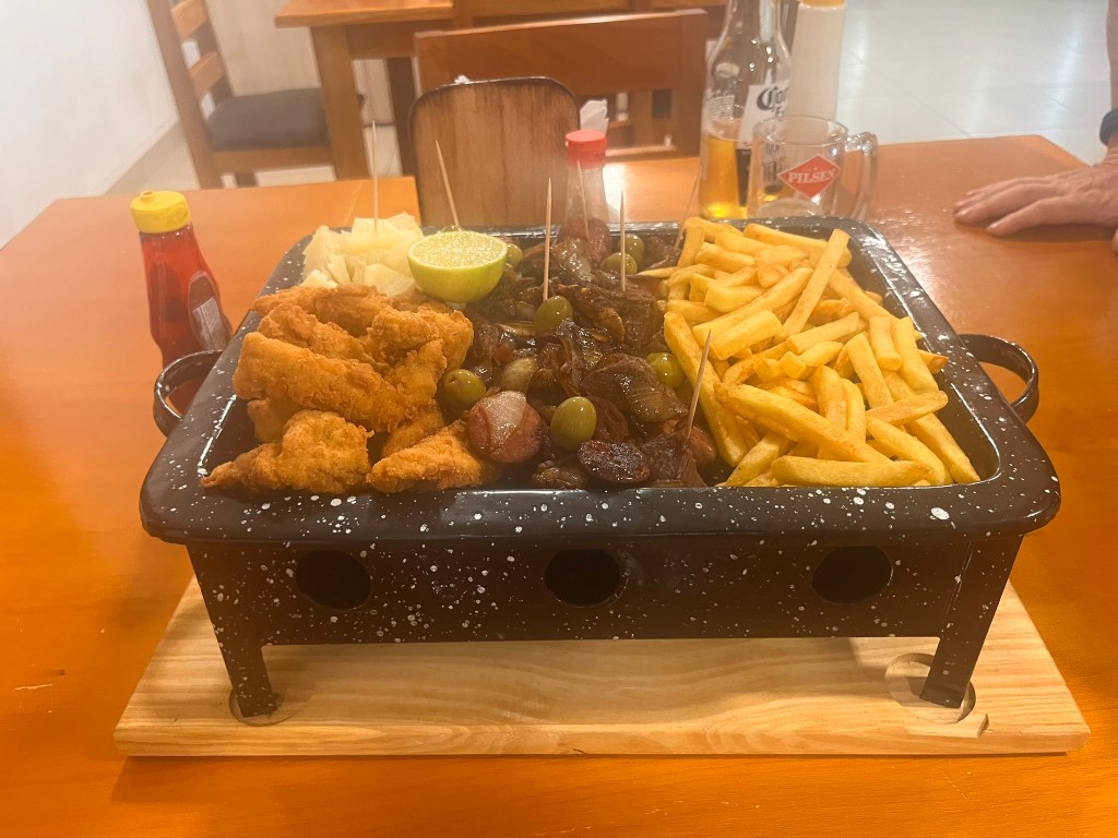
Food and good wine is always important on IBRG trips.
Exploring Martín García Island: A Unique Exclave
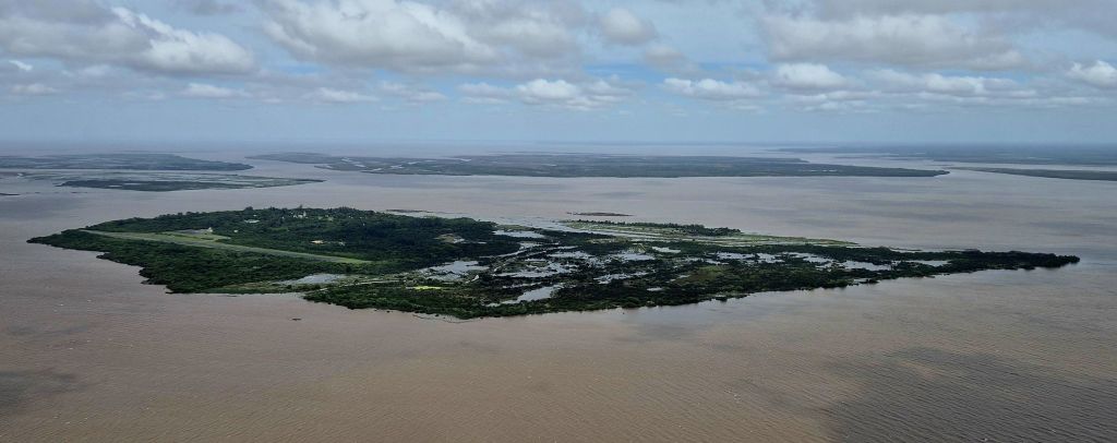
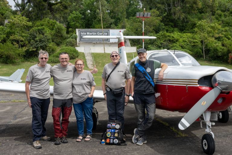
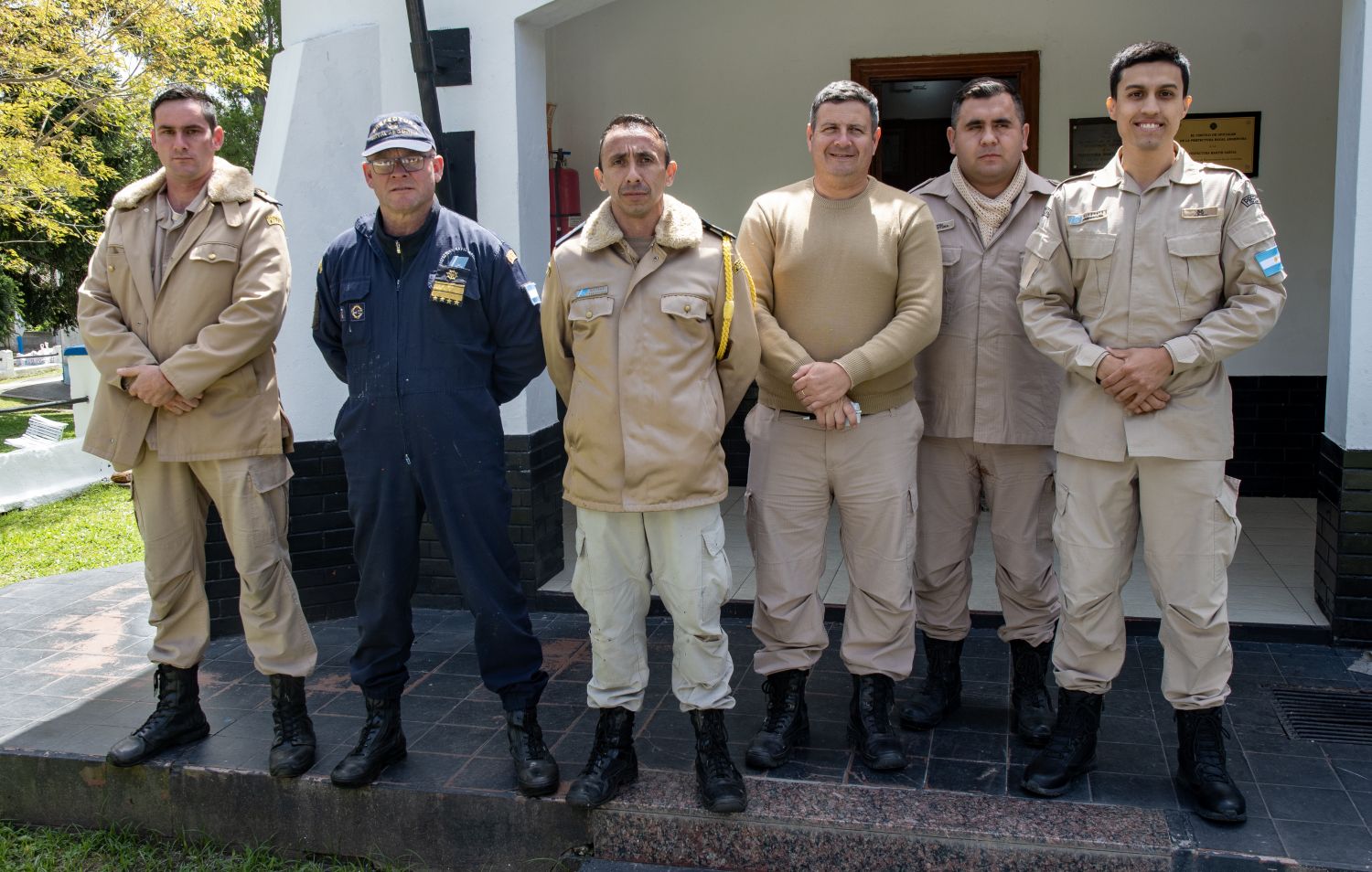
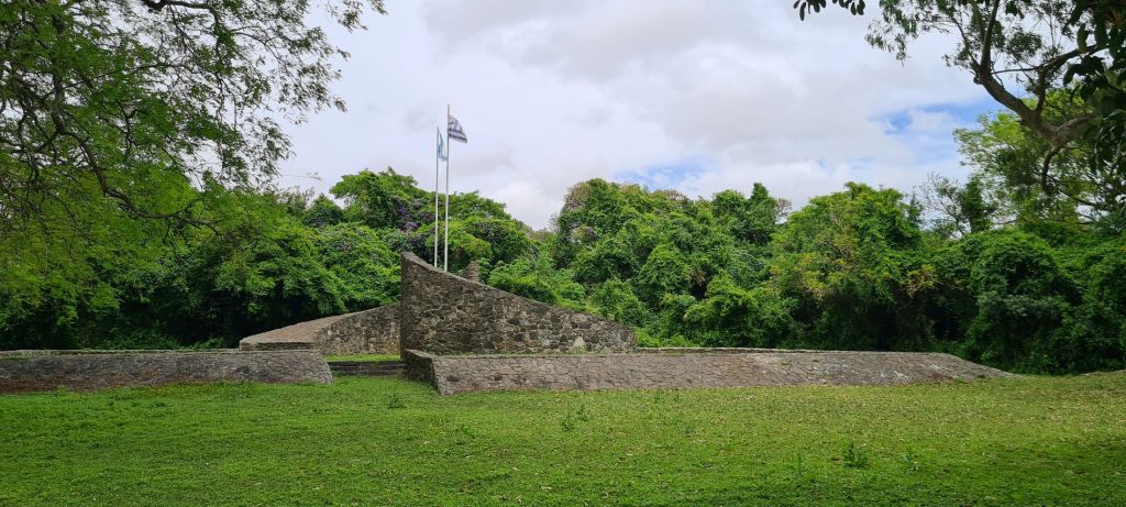
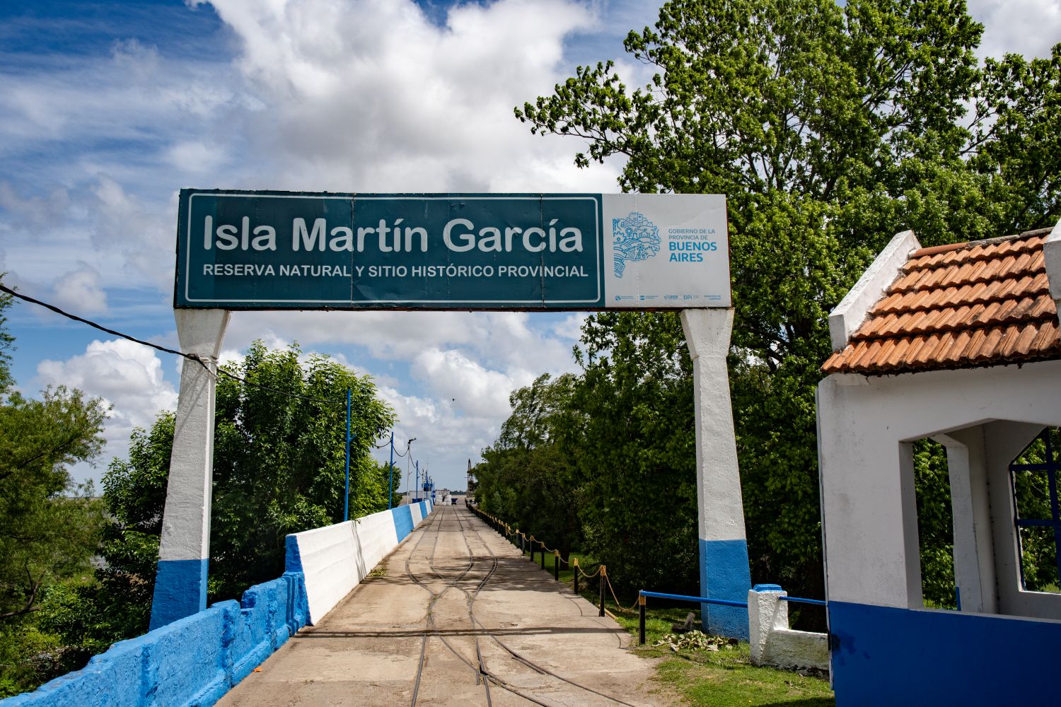
Martín García Island (Spanish: Isla Martín García) is an island in the Río de la Plata. Due to river sedimentation, it merged in the 1980s with the Uruguayan island of Timoteo Domínguez, creating the only land border between Argentina and Uruguay. This was one of the highlight of the trip. A first for the IBRG was that we hired a plane to access the island. We explored the border between the 2 counties had a meal, bought a tee shirt and interacted with The Argentinian coast guard.
Click on the images below to access the full report with maps, additional photos and more information.
Stage 2 the Uruguayan Circular
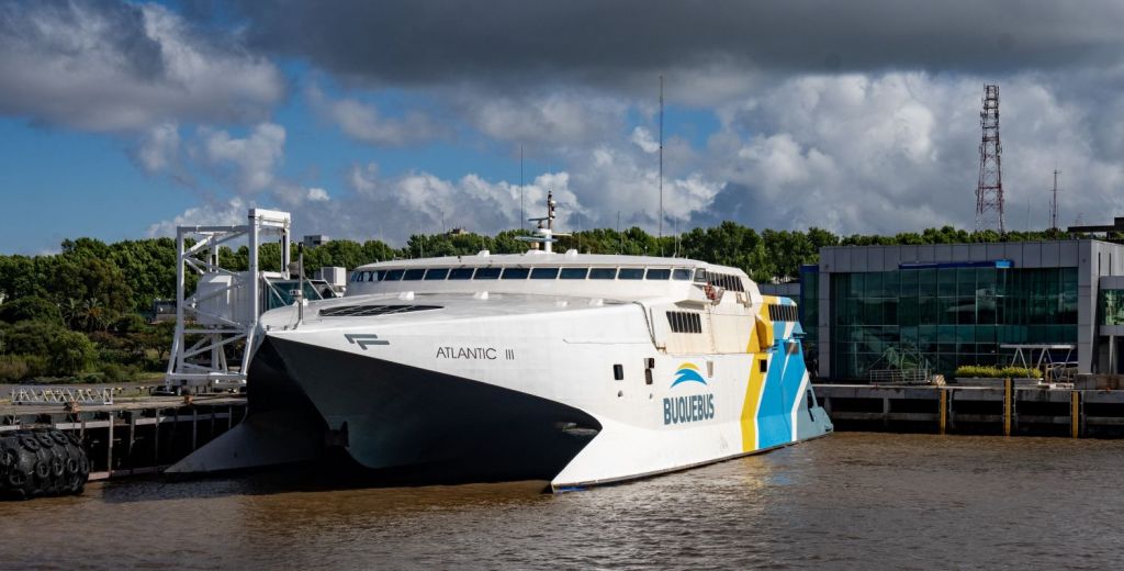
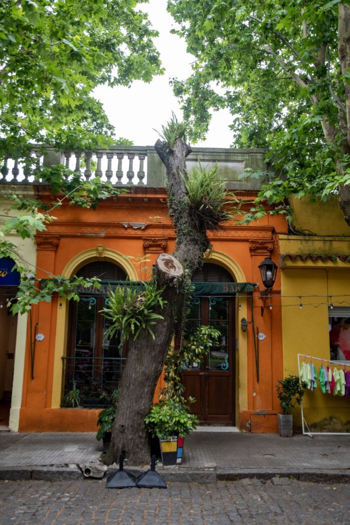
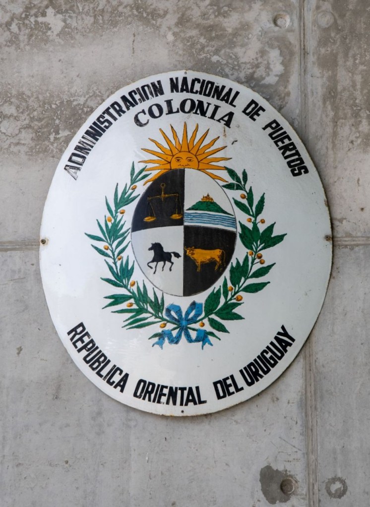
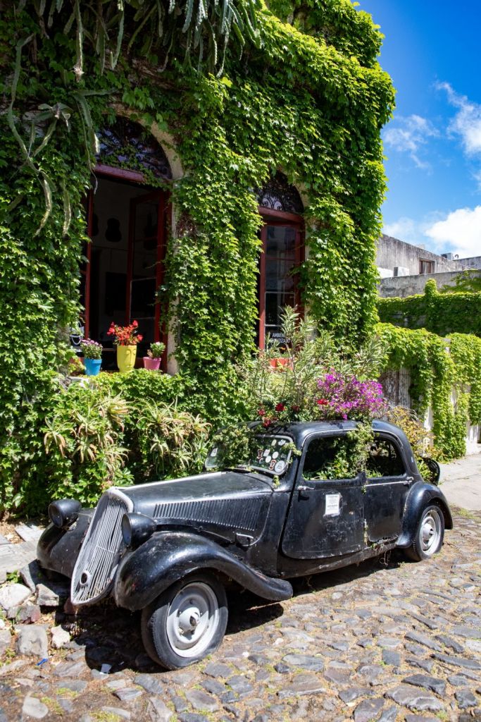
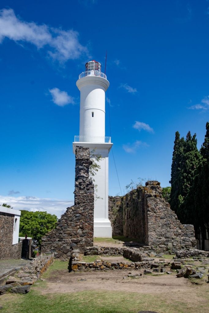
We took the Colonia Express ferry from Buenos Aires (Argentina) to Colonia del Sacramento (Uruguay) for a quick 1-hour and 15-minute crossing across the Río de la Plata. We had a 2 further days sightseeing before the border investigations started in earnest. Colonia del Sacramento old quarter is a UNESCO World Heritage site and is one of the oldest towns in Uruguay. Swapping between the Portuguese and Spanish Empires the architecture is fascinating.
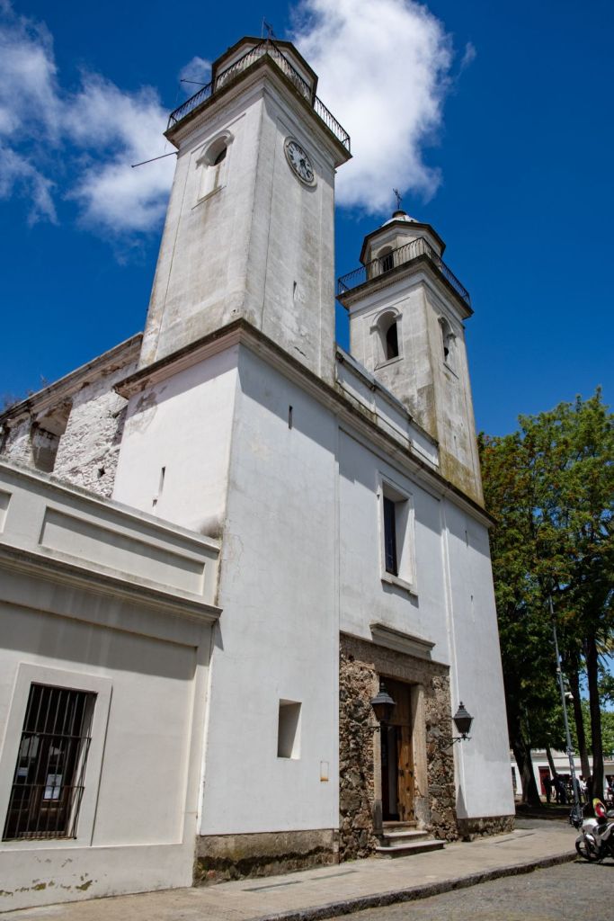
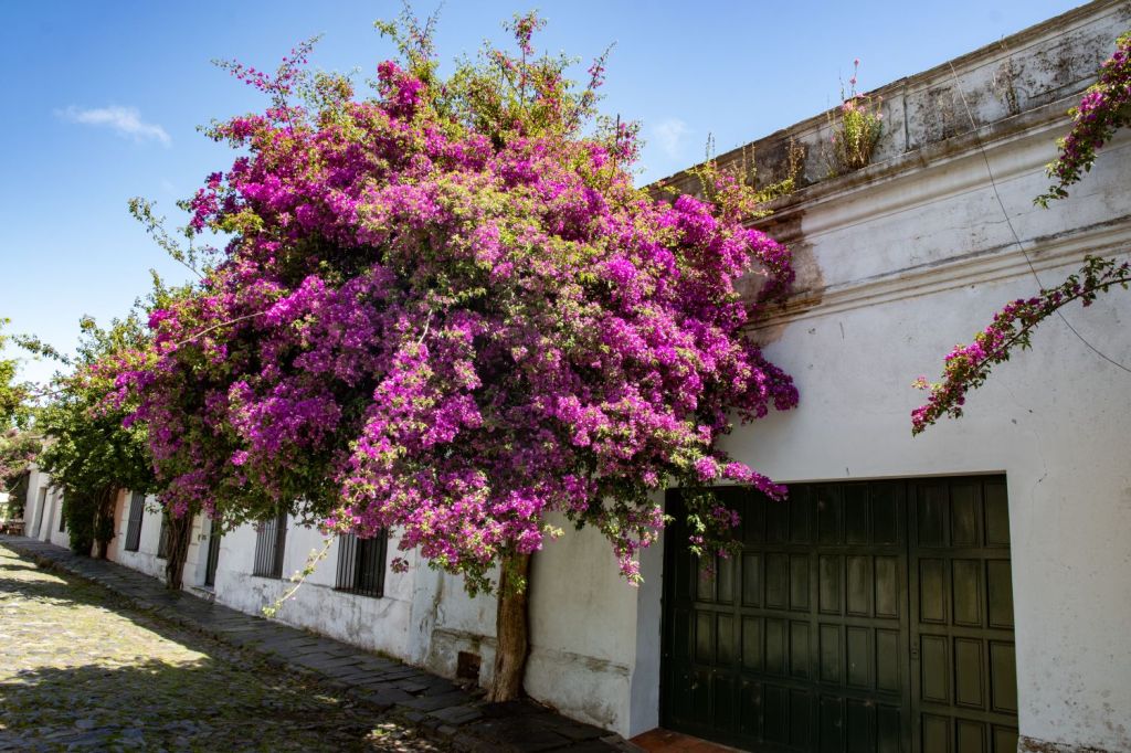
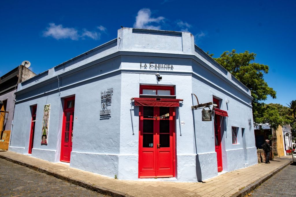
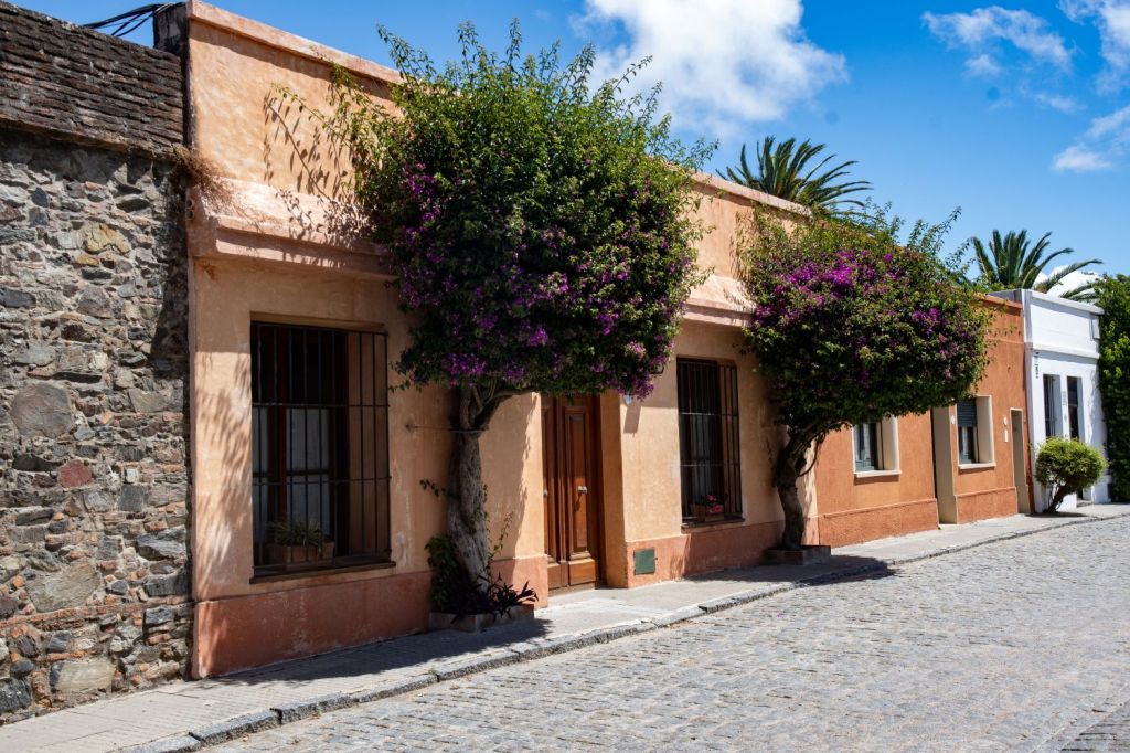
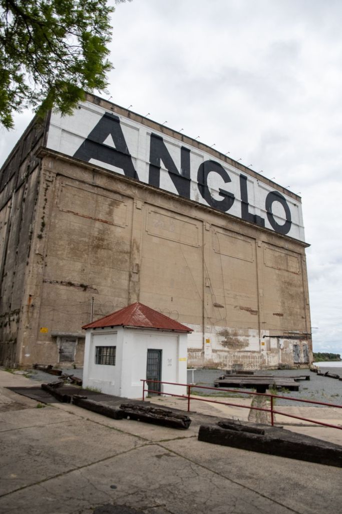
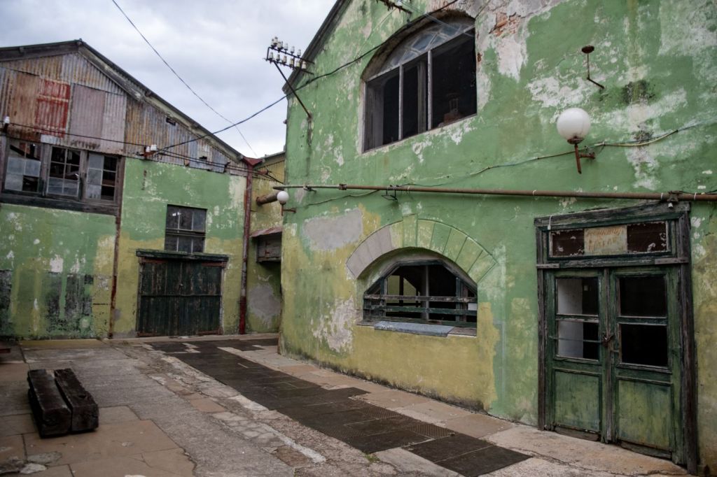
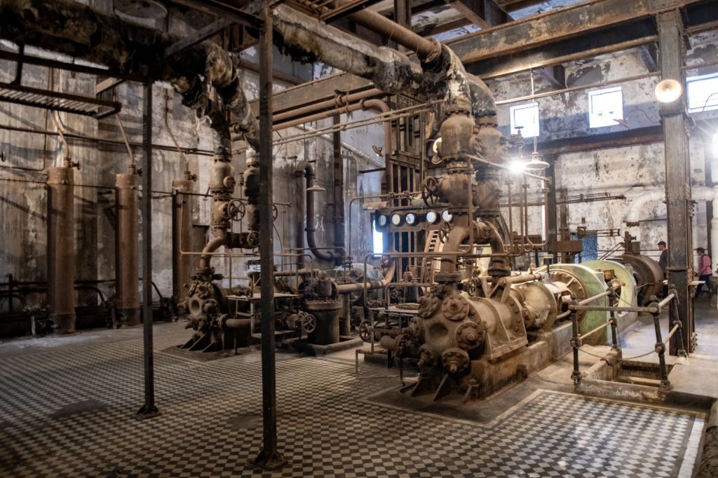
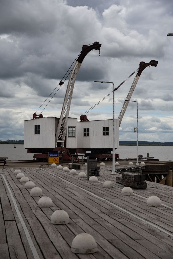
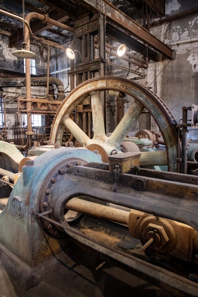
The second UNESCO WHS visit was the Fray Bentos Industrial Landscape which illustrates the whole process of meat sourcing, processing, packing and dispatching. It includes buildings and equipment of the Liebig Extract of Meat Company, which exported meat extract and corned-beef to the European market from 1865 and the Anglo Meat Packing Plant, which exported frozen meat from 1924. It reminded me of my childhood diet, all those years ago.
It was not long before we were back on the road and exclusively focused on border points of interest. For me the apex of being a border enthusiast is visiting tripoints. Our first one this trip had little information online reflecting it was rarely visited.
ARBRUY
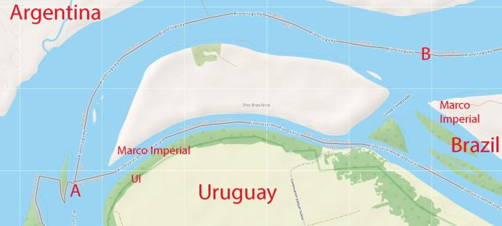
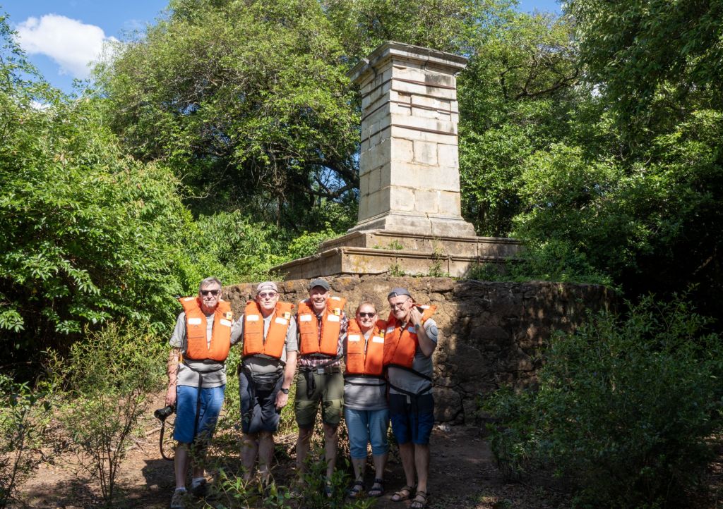
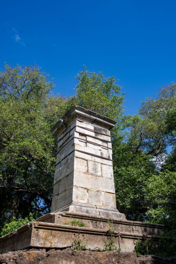
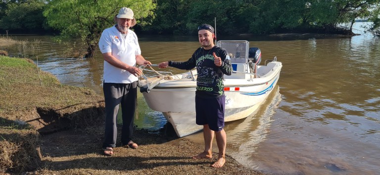
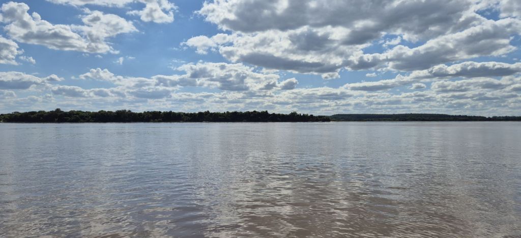
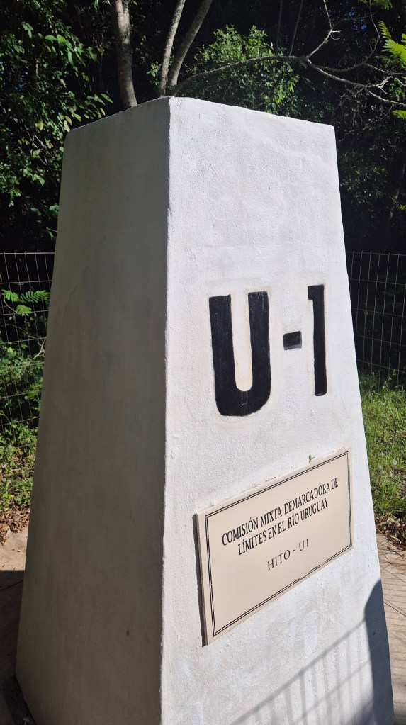
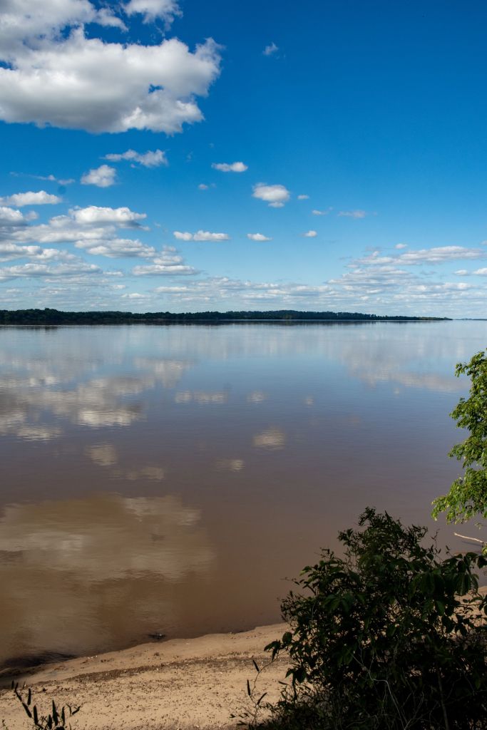
The tripoint between Argentina, Brazil and Uruguay is fascinating. It is the southernmost tripoint in the world and the third “compass point” tripoint I have visited (FINOSE being the northernmost tripoint and HNNISV being the westernmost tripoint). The tripoint location is contested with Brazil and Uruguay disagreeing on its location due to the long-standing territorial dispute involving Ilha Brasileira. This dispute means the tripoint position is not agreed. Position A is the Brazilian position whereas Position B indicates the Uruguayan.
Click on the images below to access the full report with maps, additional photos and more information.
Contested areas
We visited 2 contested areas on the Brazil – Uruguay border. The boundary disputes relative to the Brasilera Island result from different interpretations of the Brazilian – Uruguayan boundary treaty of October 12, 1851. The 1851 treaty states that the island or islands in the mouth of the Rio Quarai belong to Brazil, but Uruguay claims that Brasilera Island is in the Uruguay river and does not belong to Brazil. Although multiple objections have been submitted by the Republic of Uruguay, Brazil has never given an official response to this dispute and consider it a non issue. The Rincón de Artigas was the second contested area that we visited, the dispute arises due to a disagreement over which stream was initially demarcated as the border. Once again, Brazil ignores the objections of Uruguay and has built a village and a wind farm in the contested area.
Click on the images below to access the full report with maps, additional photos and more information.
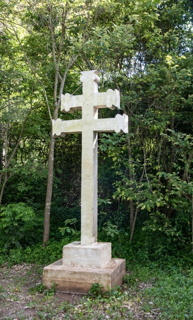
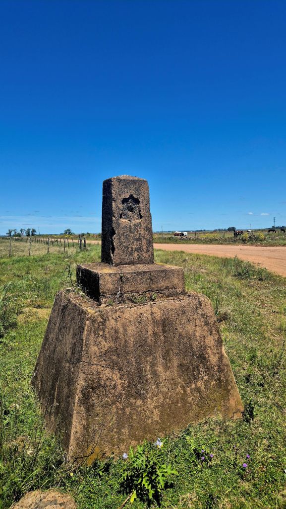
Border Crossings
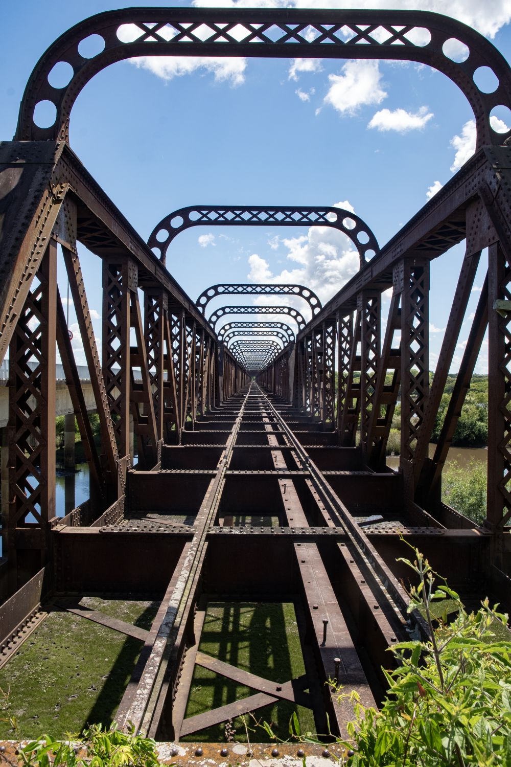
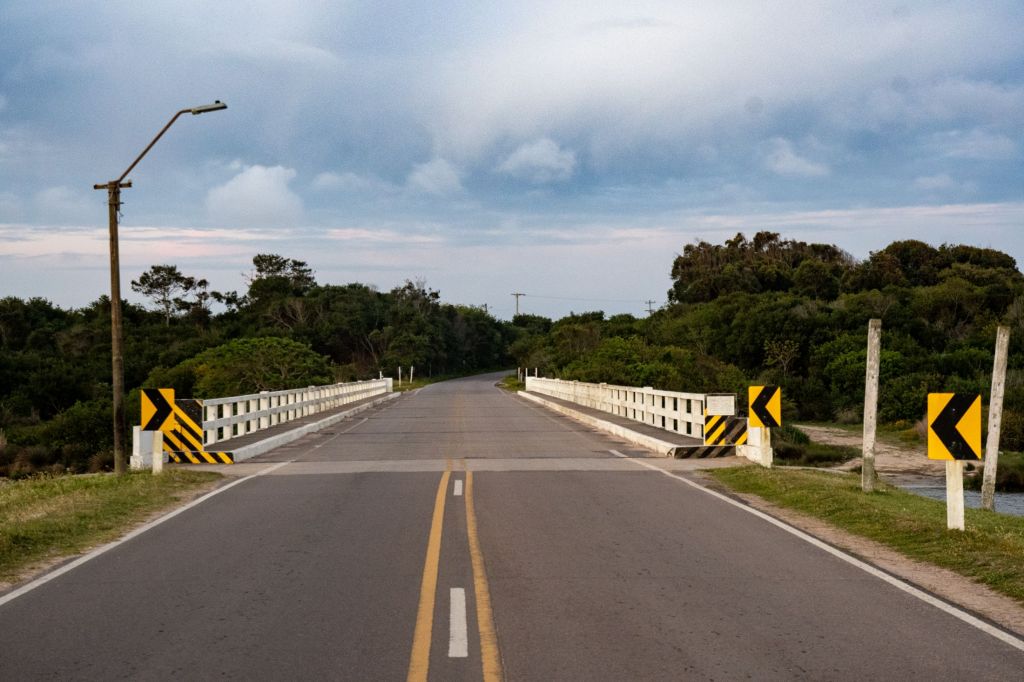
We took the opportunity to visit several border crossings. Unlike some parts of Europe the atmosphere at these crossings were very relaxed, and we were able to walk up to the border line without any restrictions. Border officials were friendly and welcoming. All the crossing points were across rivers.
Click on the images below to access the full report with maps, additional photos and more information.
Uruguay – Argentina
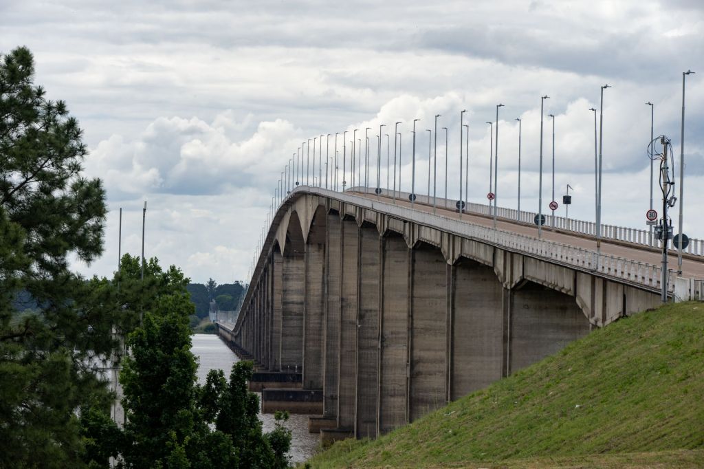
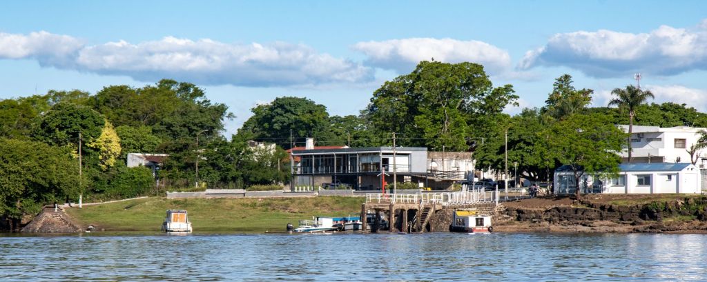
Uruguay – Brazil
Divided Cities
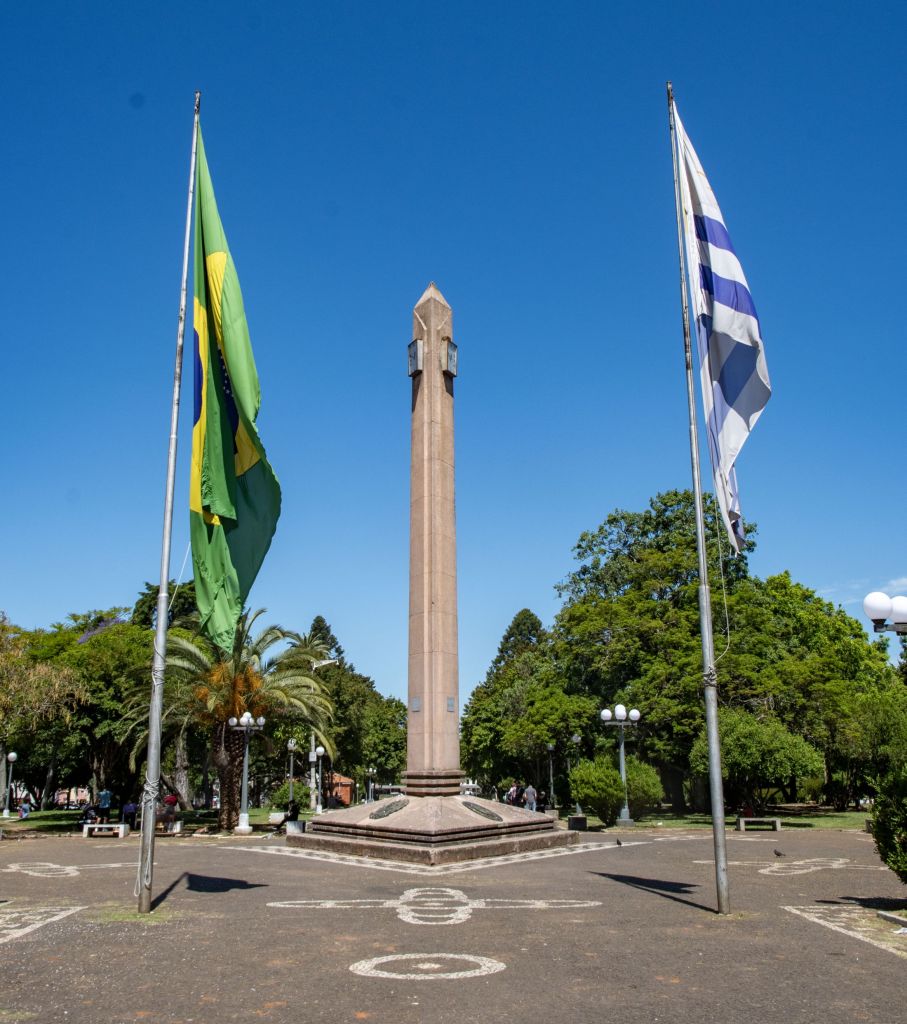
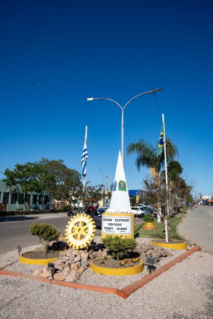
Divided towns and cities are particularly interesting for border enthusiasts. On the Brazil – Uruguay border there are 2. The first example of divided cities was where the border runs through the Uruguayan city Rivera and the Brazilian city Santana do Livramento. Residents of these two cities are able to walk freely between the two countries without any border control. The plaza is unique, equally shared by Brazil and Uruguay, and jointly managed by both countries. The same situation exists between the Brazilian city Chuí and the Uruguayan city Chuy. Unlike Chuy where the border is a straight line, in Santana do Livramento and Rivera the border cuts through parks, and follows roads with sharp turns.
Click on the images below to access the full report with maps, additional photos and more information.
Oddities and Extremities
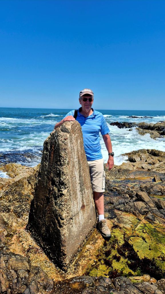
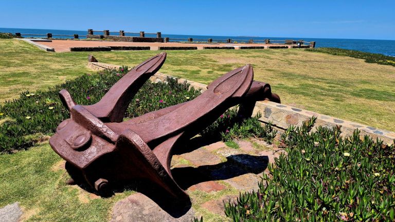
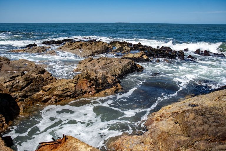
The final border POI in this section, was the southernmost point of Uruguay. The southernmost point of mainland Uruguay is Punta de las Salinas in Punta del Este, while the absolute southernmost point of the country’s entire territory is the offshore Isla de Lobos. The spot is marked by a concrete point on the rocks and a symbolic anchor, reflecting the region’s maritime heritage. The nearby Memorial for Peace (Memorial para La Paz) in Punta del Este, Uruguay, features an anchor salvaged from the German pocket battleship Admiral Graf Spee alongside an anchor from the British ship HMS Ajax. Punta del Este is a glamorous beach resort city located on a peninsula in south eastern Uruguay. Known as the “St. Tropez of South America.”
Click on the images below to access the full report with maps, additional photos and more information.
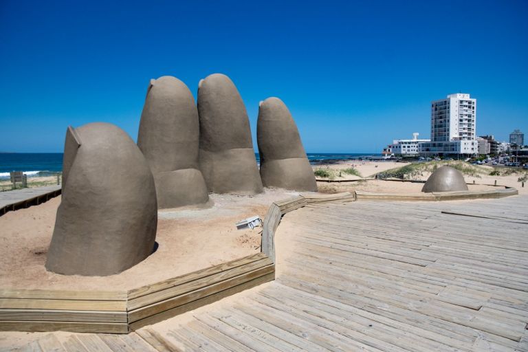
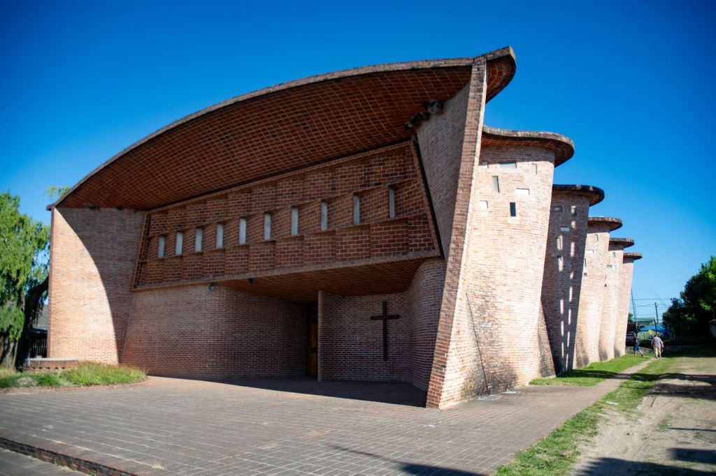
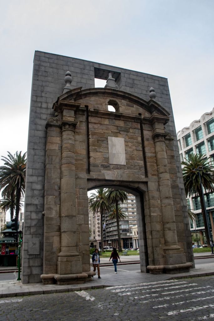
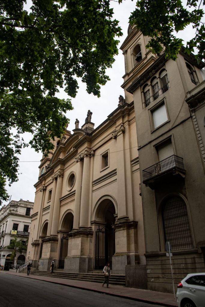
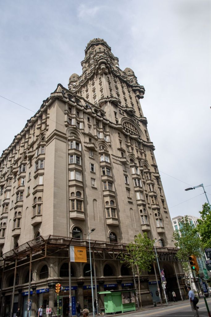
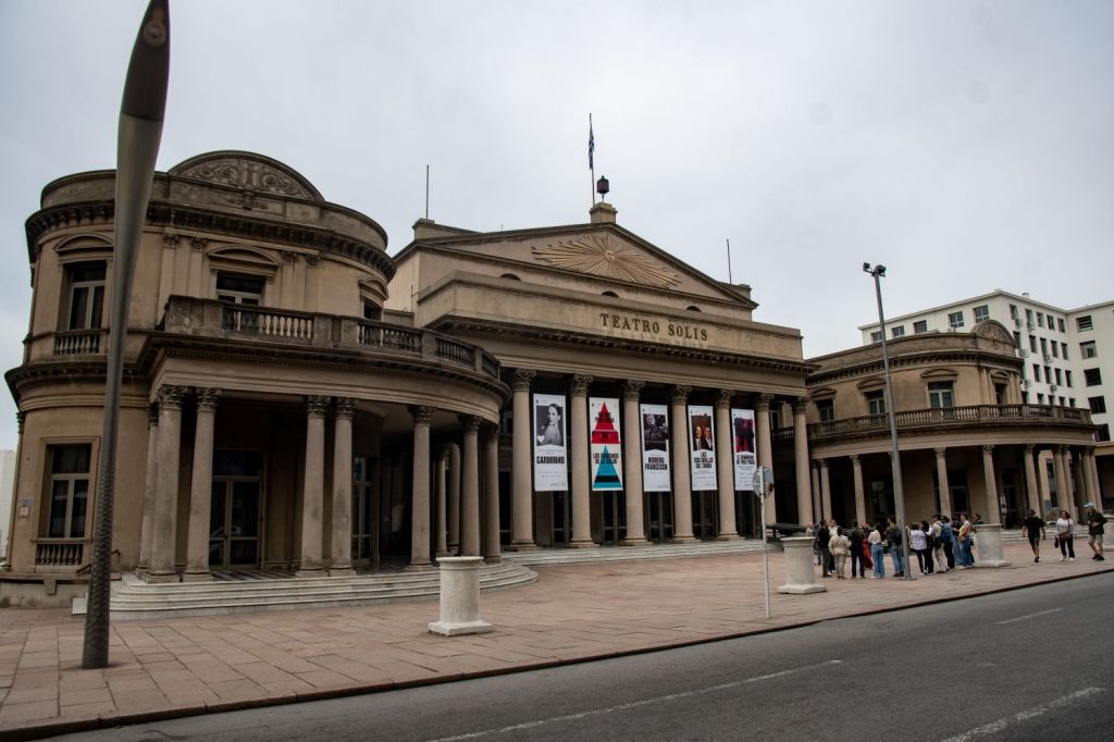
Our last few days in Uruguay were spent in Montevideo, the capital and largest city of Uruguay, known for its relaxed coastal vibe, rich tango culture, and high quality of life. Known for its coastal promenade, old town and architecture.
Stage 3 ARBRPY tripoint
Arriving in back in Argentina at Aeropuerto Internacional Cataratas del Iguazú (IGR) we were firmly focused on exploring the second tripoint of this expedition. This is probably one of the most famous and visited tripoints in the world due to its proximity to the Iguazu falls, with many visitors taking a photo at one of the tripoint monuments. As border enthusiasts however, we were determined to visit all 3 tripoint monuments which ultimately involved a lot of walking, some hitch hiking, taking a ferry and a few taxis. We ended up crossing 3 borders and exploring 4 border crossings.
Click on the images below to access the full report with maps, additional photos and more information.
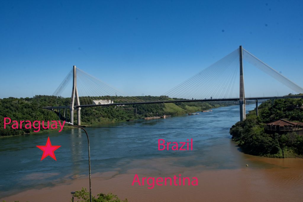
Visiting the markers and gaining different perspectives of the tripoint was a great experience, some tourists visit one, few visit 2 and we found no reports online of visiting all three. As they are all different it is really worthwhile.
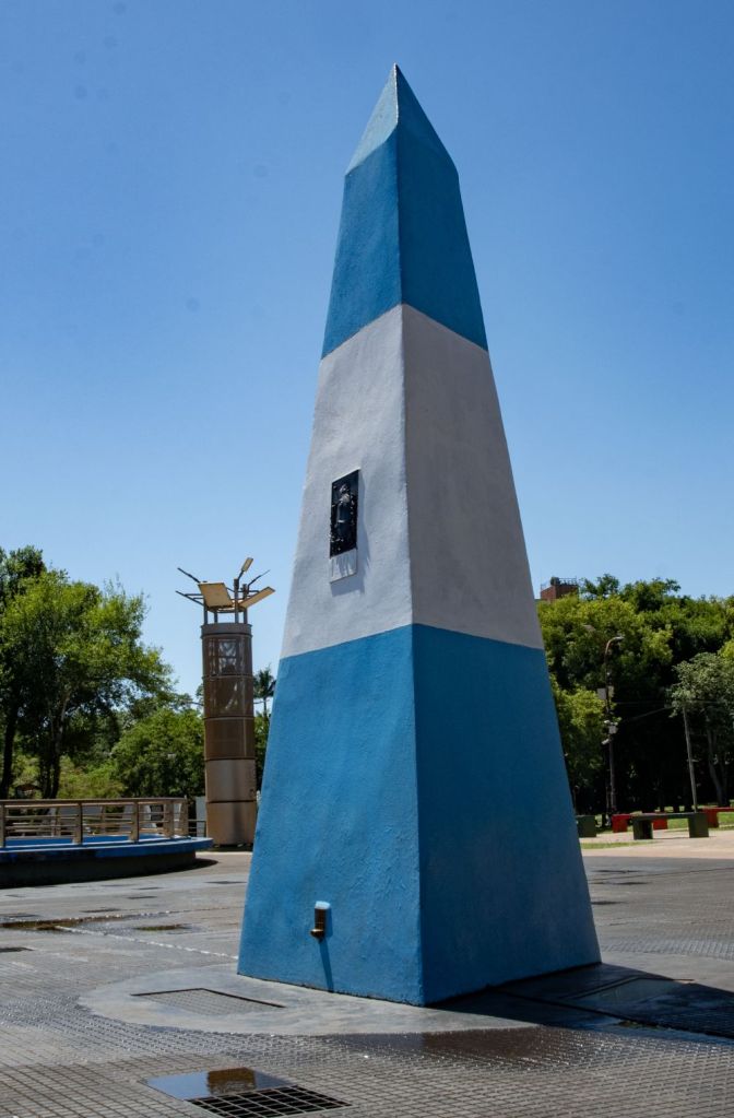
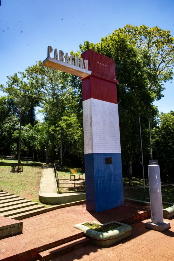
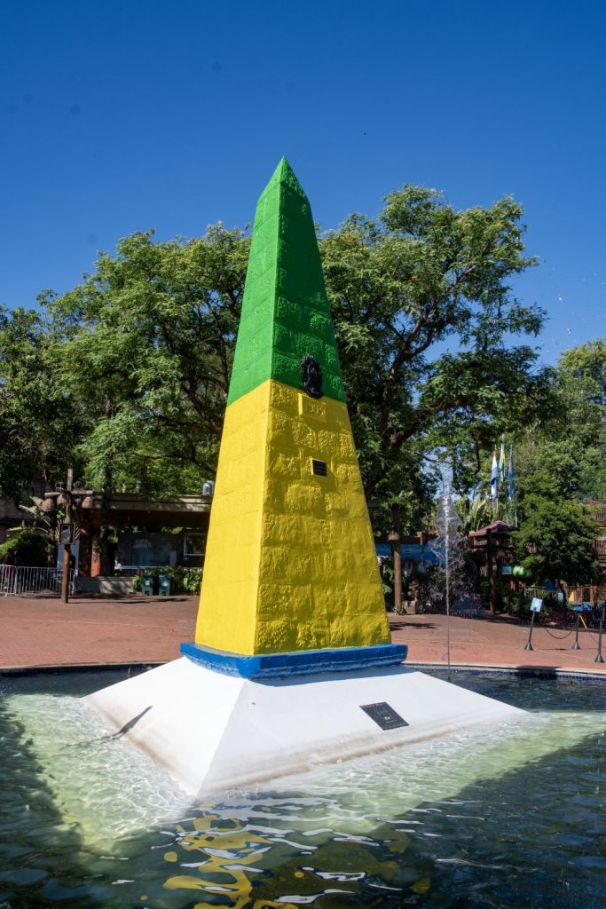
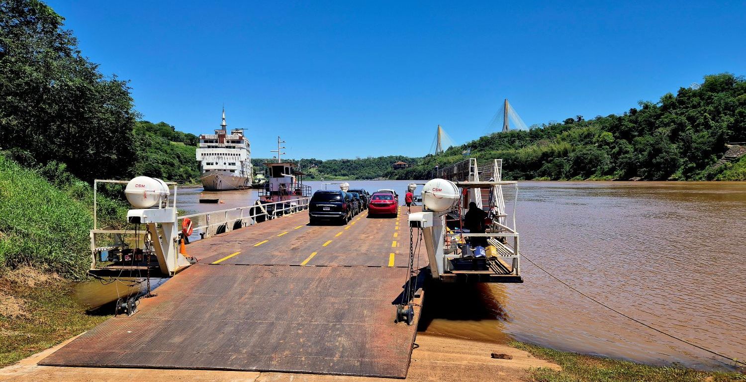
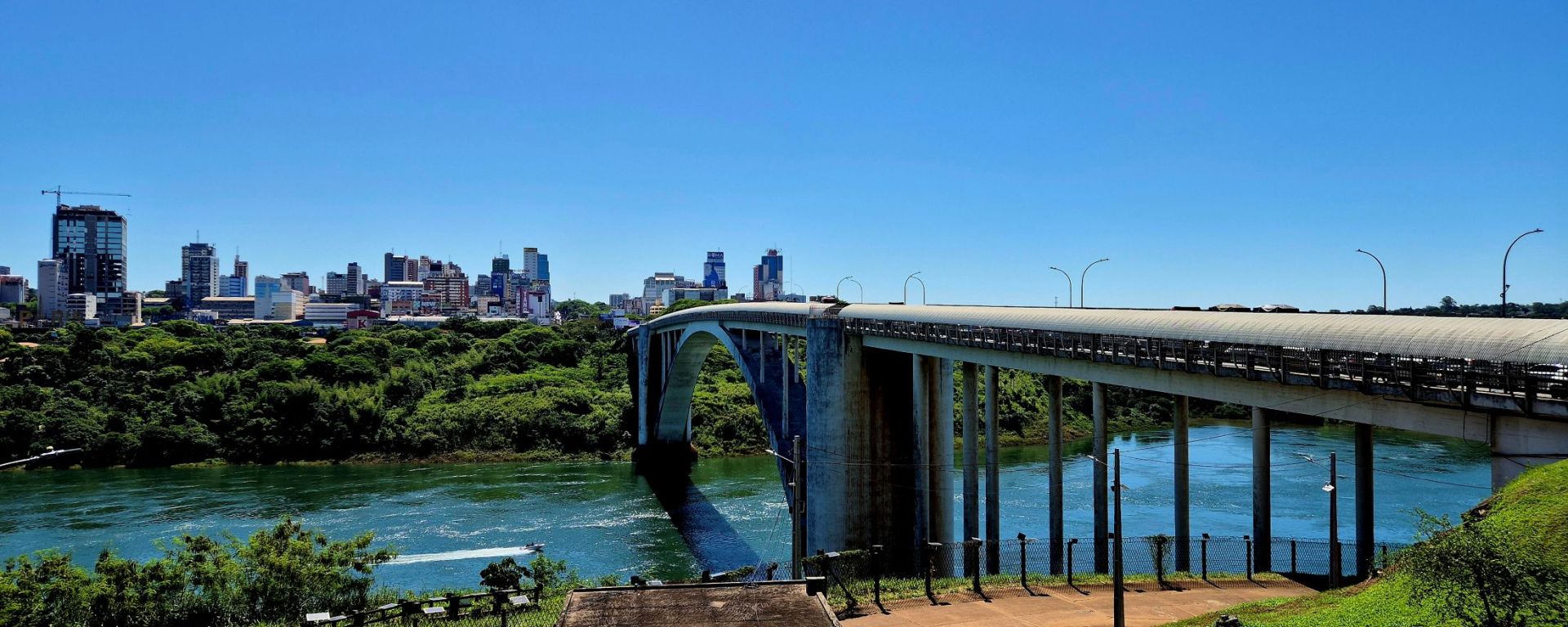
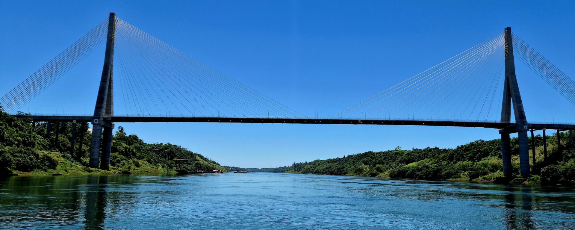
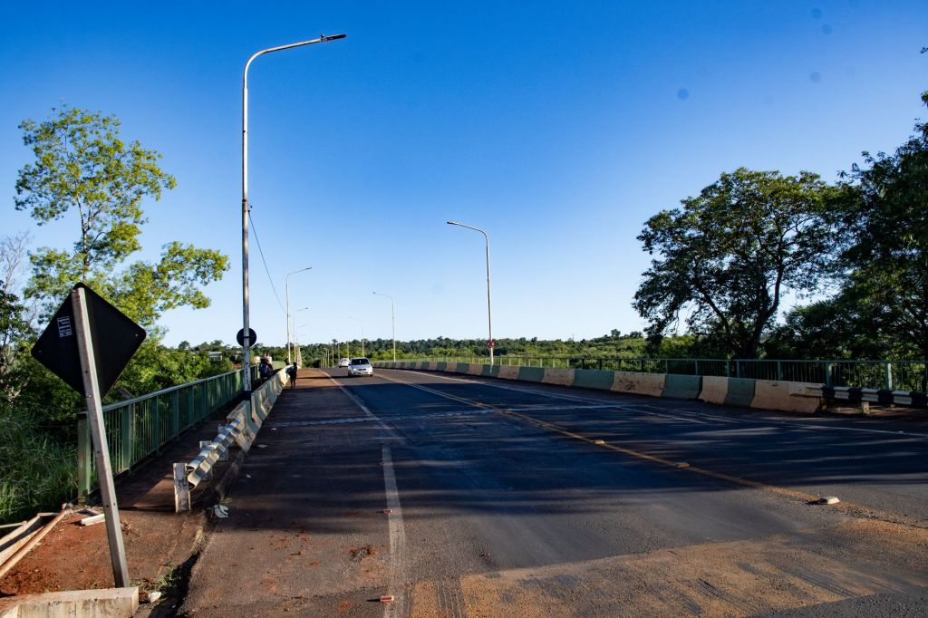
The journey between the 3 markers involved us walking a lot, taking a ferry from Puerto Iguazú, Argentina to Presidente Franco, Paraguay. Walking to explore the new and as yet unopened Brazil – Paraguay Integration Bridge, before hitching to Ciudad del Este. Two further taxi rides and walking across 2 bridges took us from Paraguay to Brazil and then back to Argentina via firstly the Friendship Bridge connecting the Brazilian city of Foz do Iguaçu and the Paraguayan city of Ciudad del Este and then the Tancredo Neves Bridge, better known as Fraternity Bridge which connects the Brazilian city of Foz do Iguaçu with the Argentine Puerto Iguazú, spanning the Iguazú River. It was an adventurous day.
Iguazú Falls
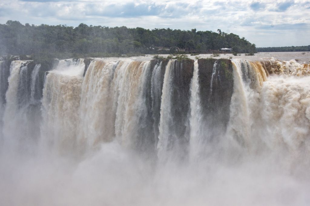
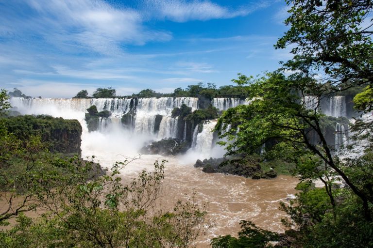
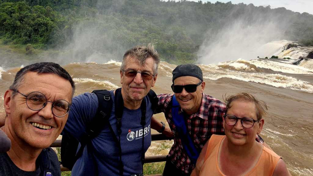
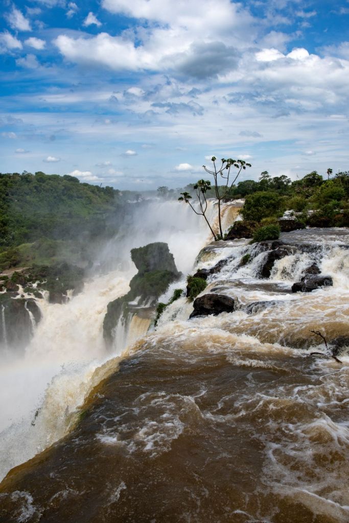
Our final visit in this stage was the Iguazu National Park, a UNESCO World Heritage site. The semi circular waterfall at the heart of this site is some 80 m high and 2,700 m in diameter and is situated on a basaltic line spanning the border between Argentina and Brazil. Made up of many cascades producing vast sprays of water, it is one of the most spectacular waterfalls in the world.
Click on the images below to access the full report with maps, additional photos and more information.
Stage 4 – the Paraguay Extension
The SATEX -25 expedition was divided into 2 distinct parts, with an one week extension to Paraguay being an additional option. The plan was to attempt to visit the 2 remaining Paraguayan tripoints ARBOPY and BOBRPY both of these were remote and rarely visited. Little information existed on the internet and we were unsure about how successful, it at all we would be. Our original group of 5 dropped to 4 after visiting ARBRPY and then to 2 after we visited the amazing Itaipu Dam.
Itaipu Dam
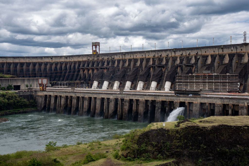
The dam can be visited as a day trip in association with visiting the Iguazu Falls. The Itaipu Dam is a massive hydroelectric power plant on the Paraná River along the border near Foz do Iguaçu (Brazil) and Ciudad del Este (Paraguay), managed jointly by Itaipu Binacional. It is approximately 196 meters tall and spans nearly 8 kilometres across. In 2018, the energy generated was used to supply nearly 90% of the electricity consumed in Paraguay and about 15% of that consumed in Brazil. On a tour you cross the border between the 2 countries twice.
Click on the images below to access the full report with maps, additional photos and more information.
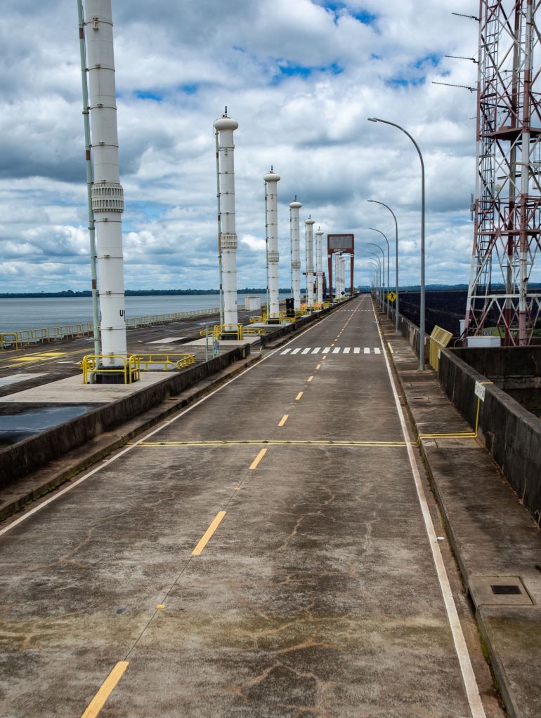
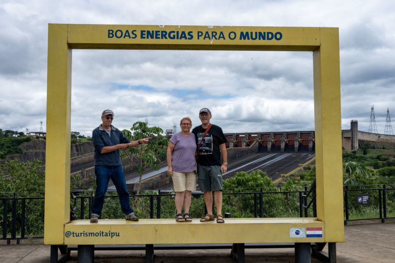
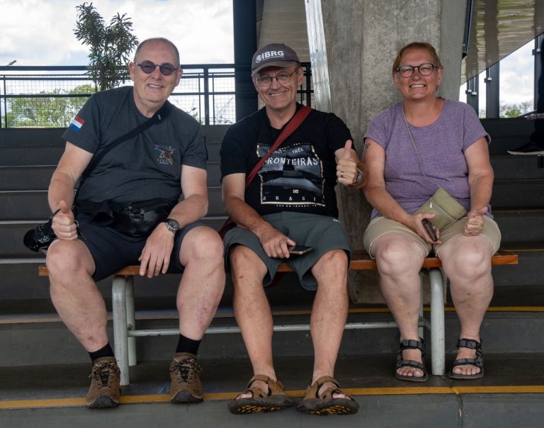
After visiting the dam it was time to say goodbye with 2 of us heading into Paraguay and 2 heading to Chile. First stop the capital Asunción.
Asunción
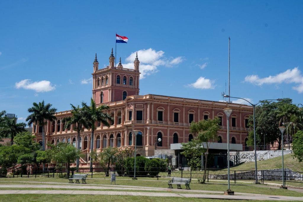
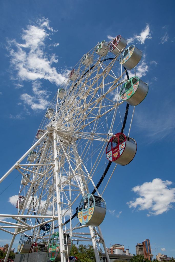
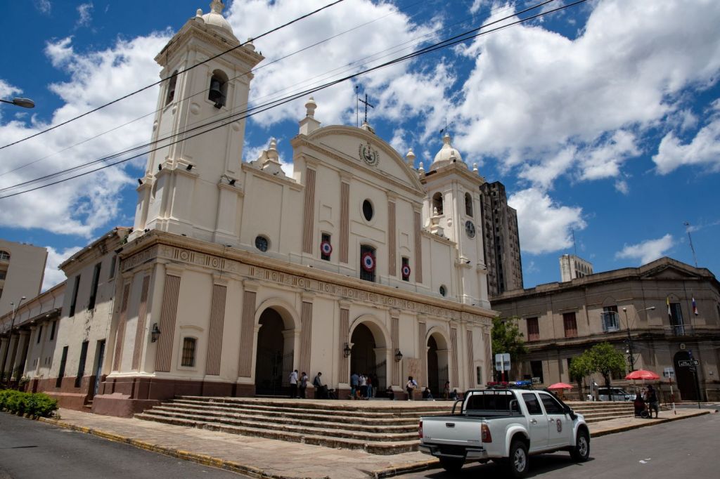
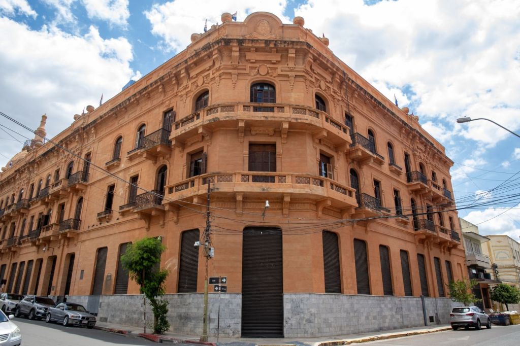
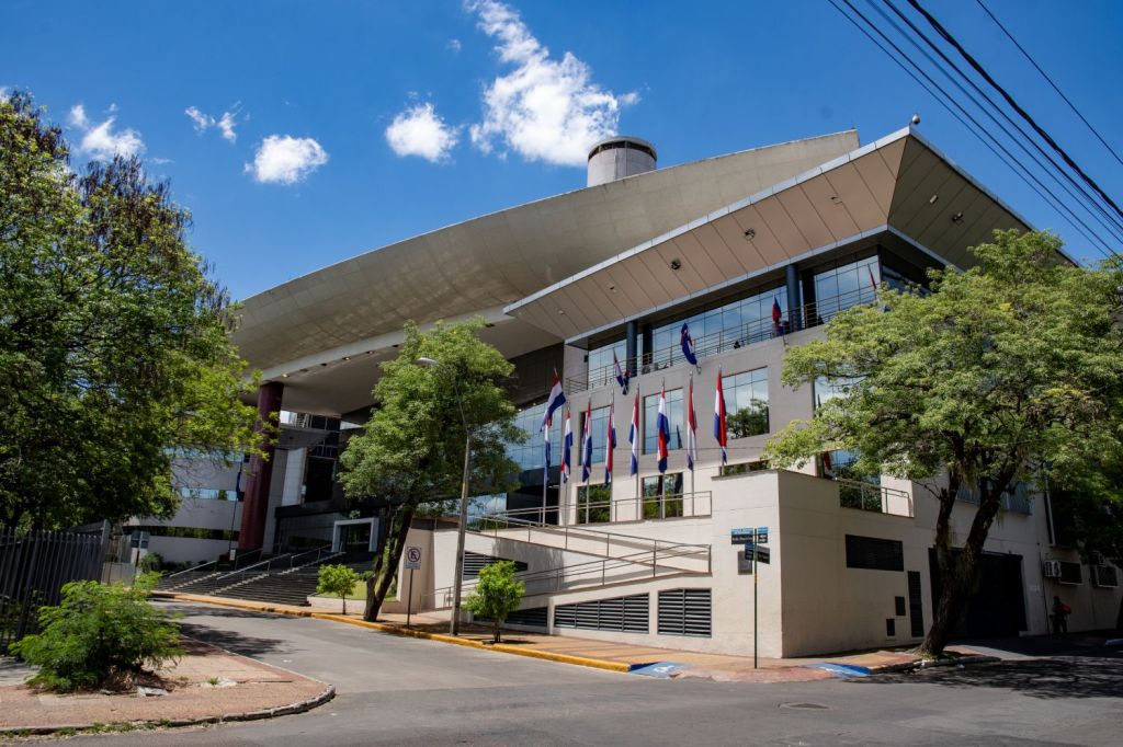
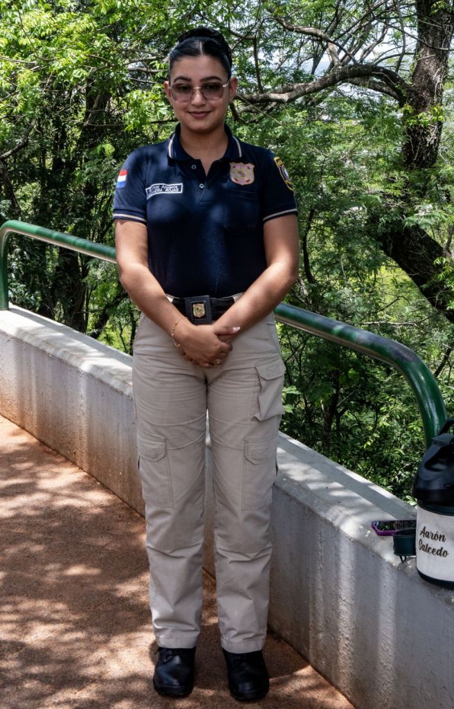
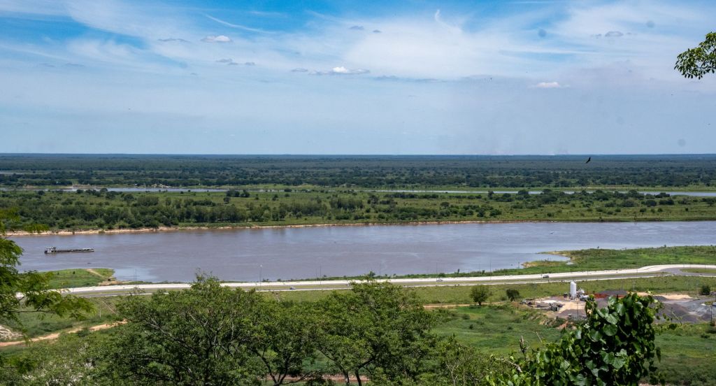
Asunción is the capital city of Paraguay, bordered by the Paraguay River. It’s known for its grand López Palace, the seat of government housing the president’s offices. Nearby, the National Pantheon of Heroes has a mausoleum and plaques commemorating Paraguayan historical figures. The Independence House Museum is marked by its colonial architecture and features artifacts documenting emancipation from Spanish rule. We were only there for a couple of days and yet were able to see most of the major sights. I enjoyed the city, the people were friendly it was a pleasant stay. I include a few photos to give a sense of the place.
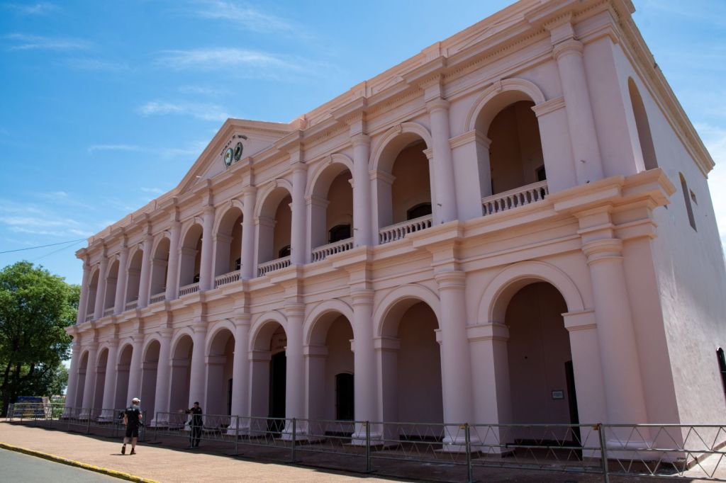
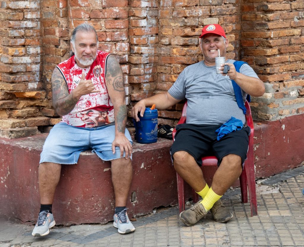
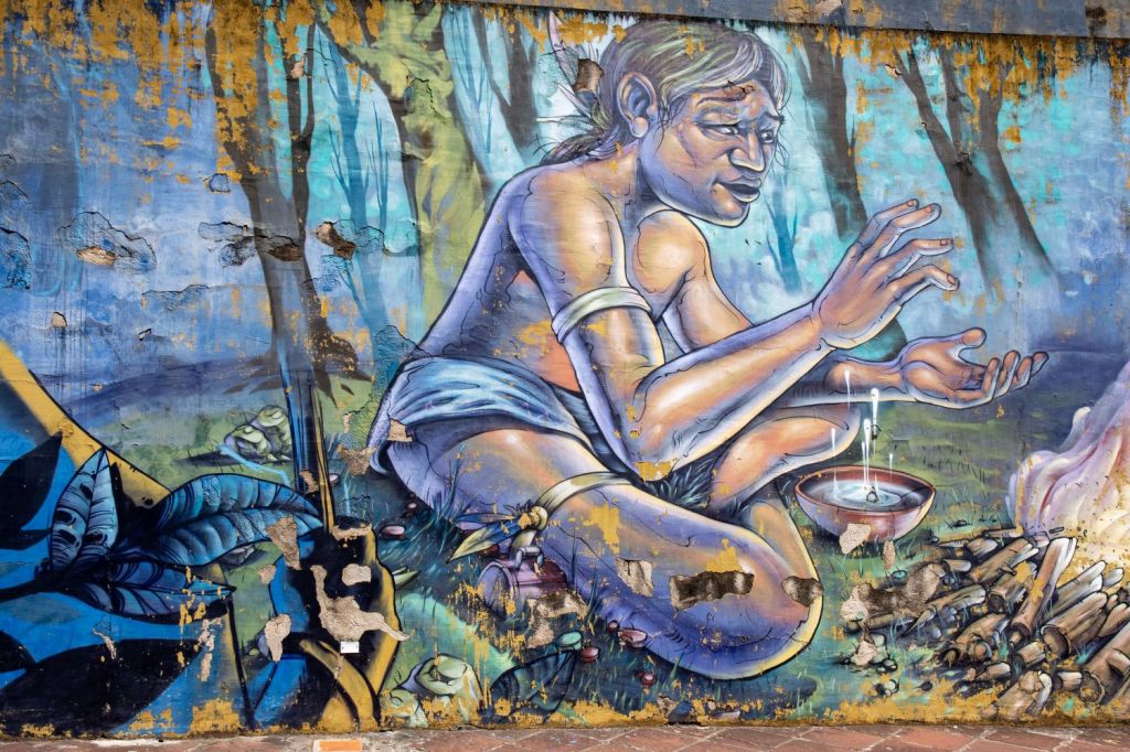
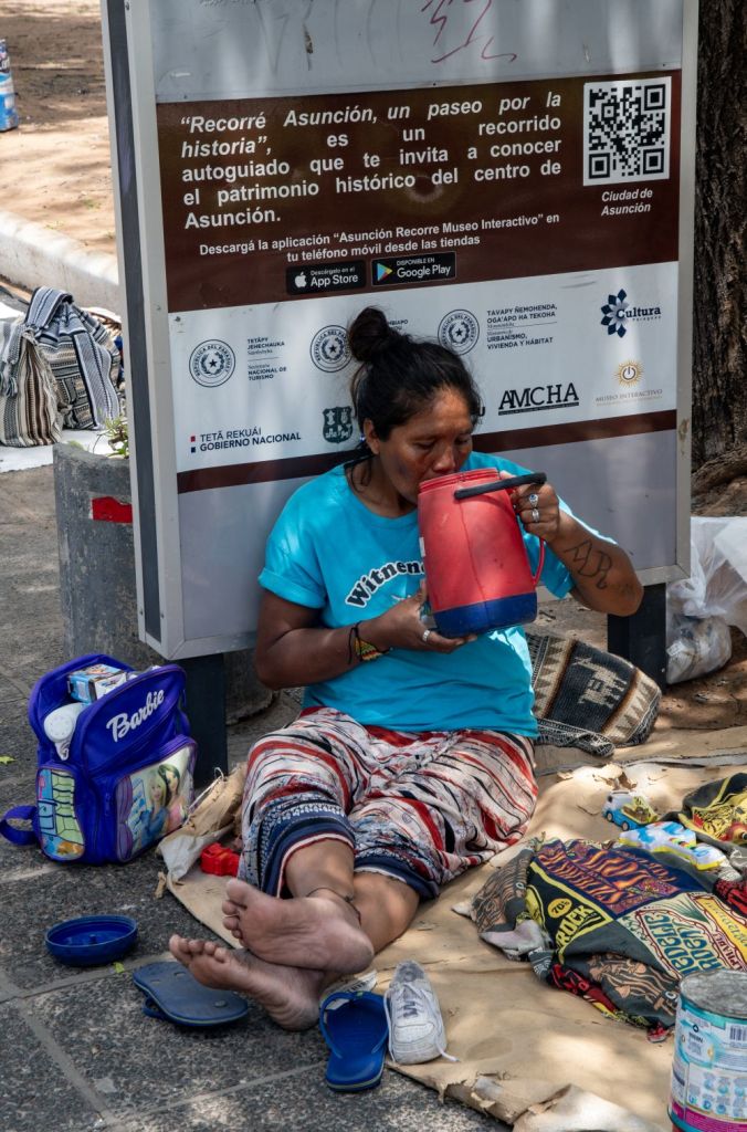
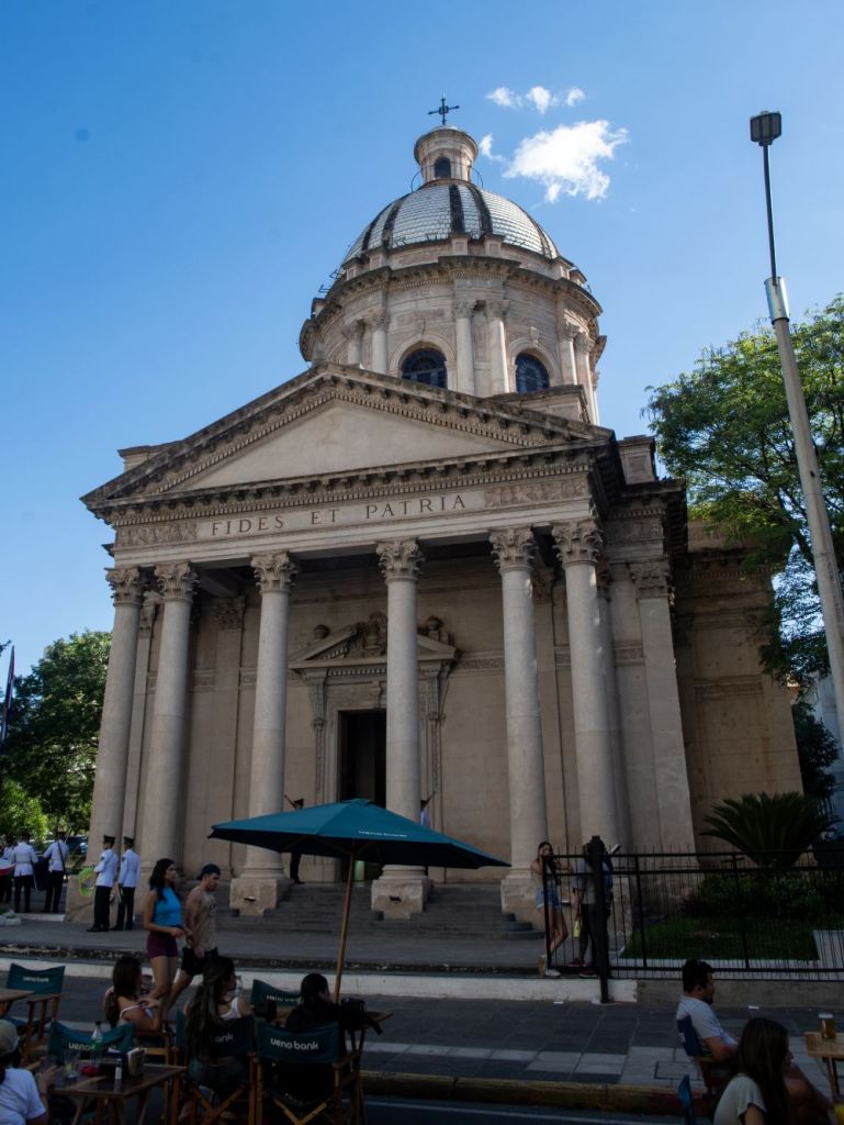
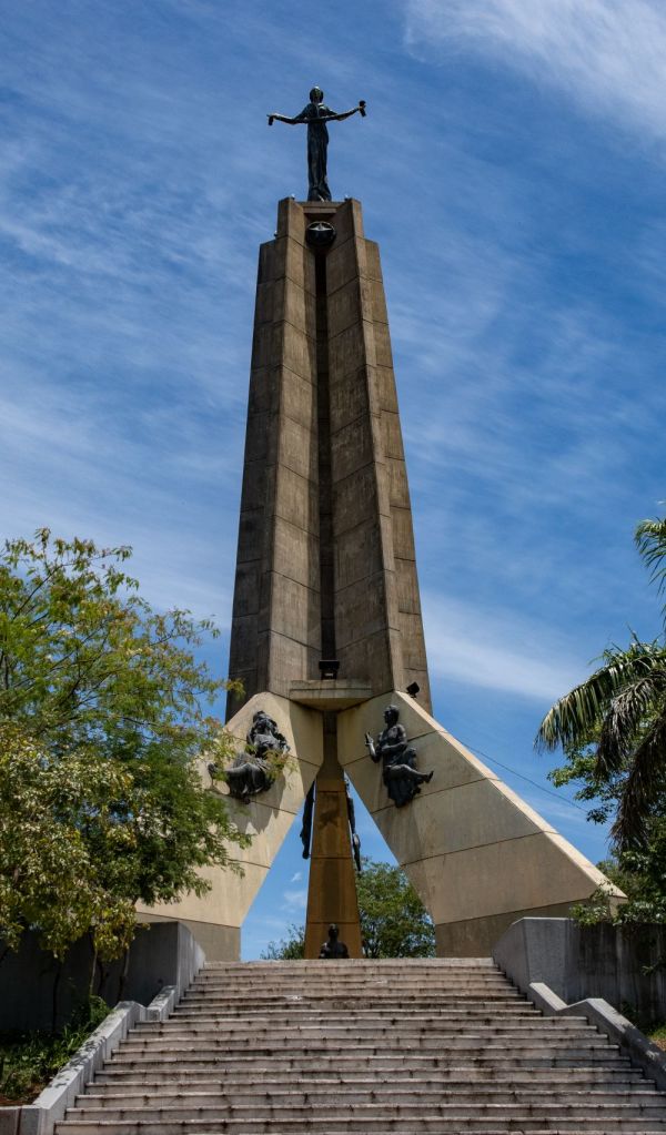
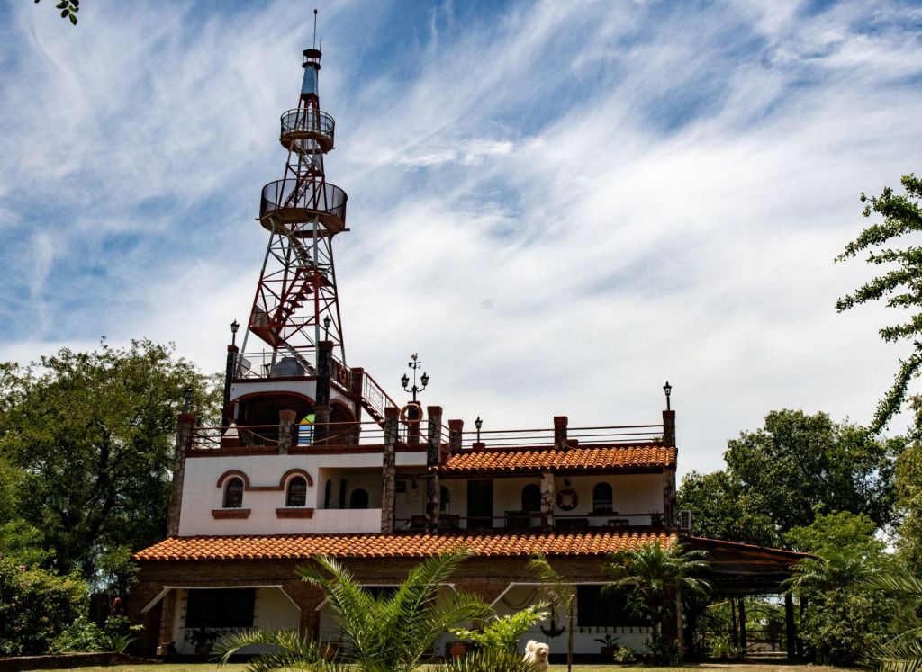

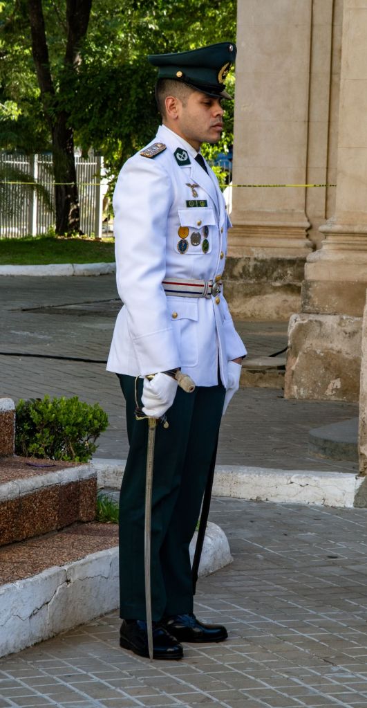
Into the unknown
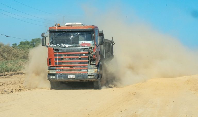
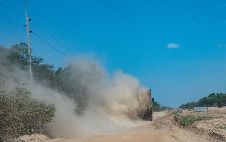
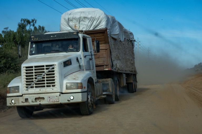
Travelling from Asunción to Mariscal Estigarribia was straightforward on excellent roads. After a comfortable night we headed deep into the Chaco. Ruta15 in Paraguay was being upgraded and we faced a 220 km construction site as we headed towards the tripoints. Driving was extremely challenging and took 4.5 hours.
Click on the images below to access the full report with maps, additional photos and more information.
Tripoints
ARBRPY was a relatively easy tripoint to visit. The final 2 Paraguayan were anything but, both were extremely remote and hard to reach. We made it but it was far more an adventure than we had ever envisaged.
ARBOPY
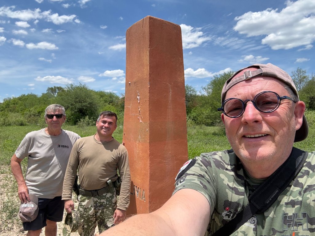
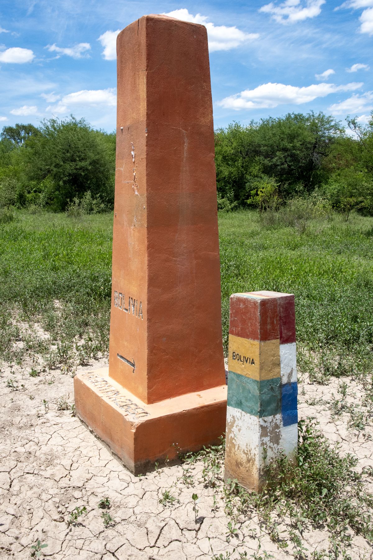
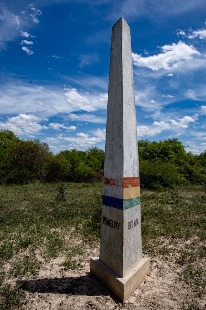
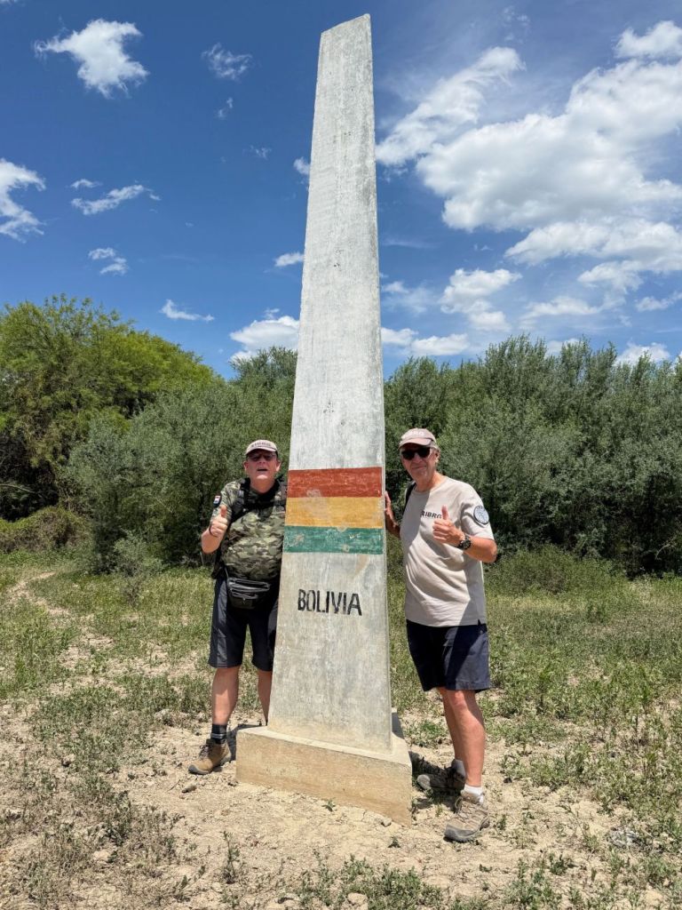
The Argentina, Bolivia, and Paraguay tripoint is located in the remote, arid northwest region of the Gran Chaco. Visiting ARBOPY is highly challenging and remains one of the least-visited tripoints in South America due to its harsh terrain, an added complication is that it is located in a military zone and therefore access was uncertain. There were 2 POI’s. Hito Esmeralda refers to Bolivia/Paraguay BM#1 which was originally the Tripoint monument (1949-2016) now 2650m away. At the time of construction the tripoint was located in Pilcomayo River and this was the indirect marker. Alluvial deposits led to the tripoint becoming dry and a new tripoint monument was built in 2016.
Click on the images below to access the full report with maps, additional photos and more information.
Hito Esmeralda
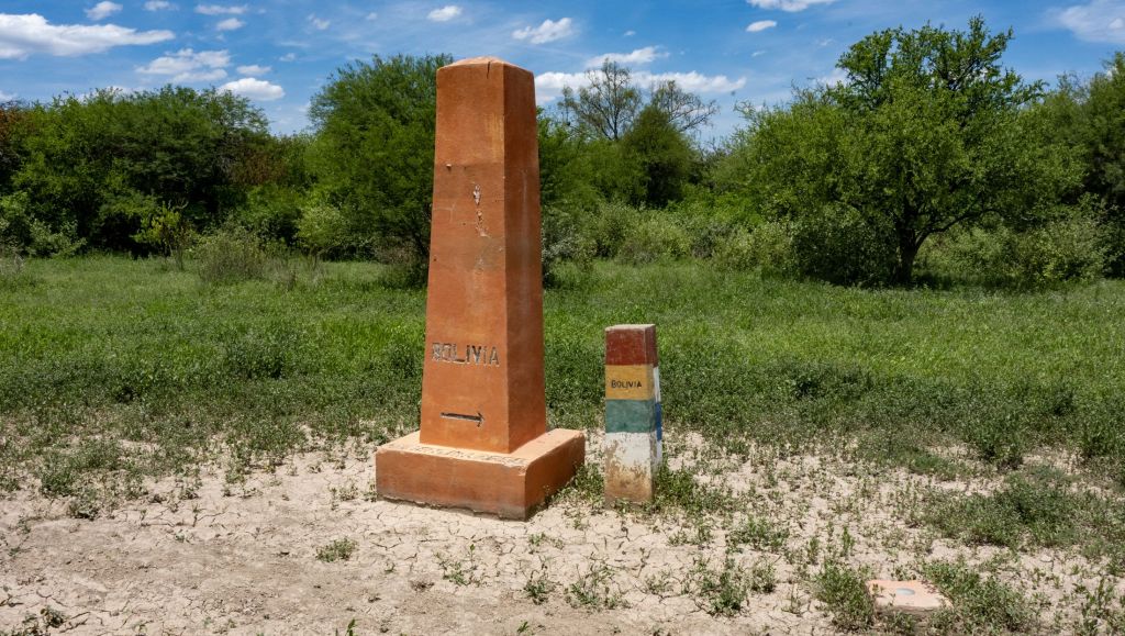
Tripoint marker
BOBRPY
Located at the confluence of the Negro and Paraguay rivers and only accessible from the Paraguayan side where a tripoint marker is located. Very remote we drove in from Lomo Plata a 6 hour drive away with the last 200 km on dirt roads. 7 km north of Bahia Negra, we needed help from a local guide find the marker.
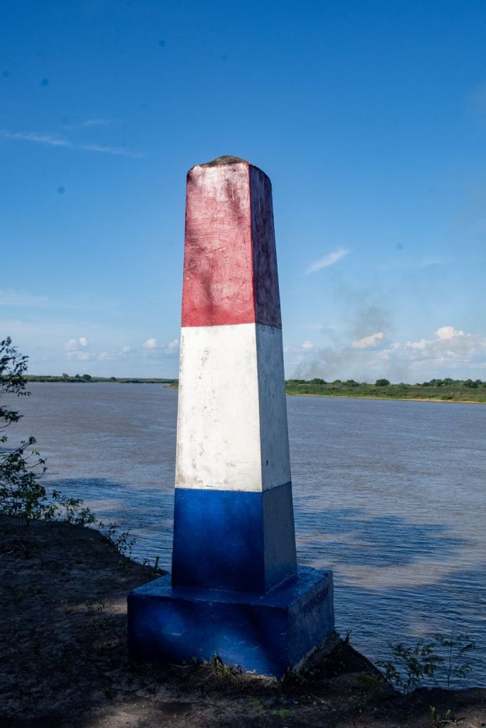
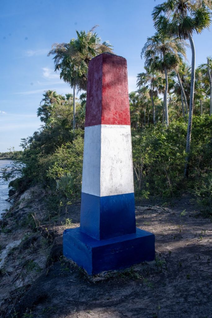
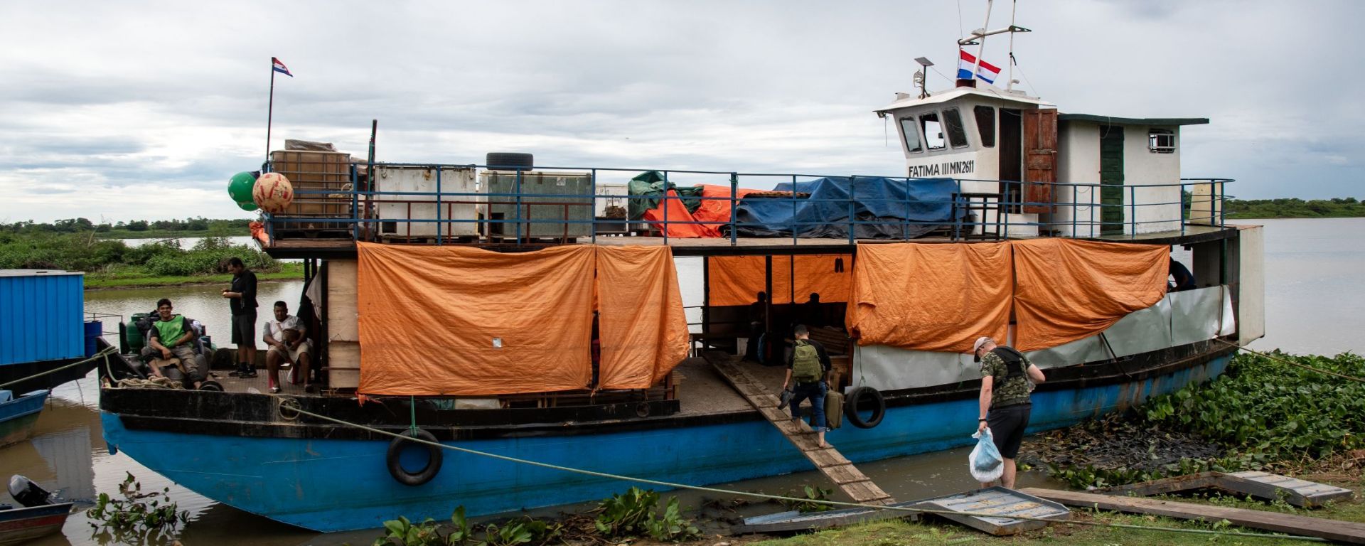
Our adventure ought to have been over. However, the Paraguayan weather had other ideas which led to us being stuck in Bahia Negra for 3 further days. Our only way out was to leave our hire car and taking a 31 boat trip down the Rio Paraguay!! Amazing to experience life on board and witness the remote settlements en route.
Border Crossings
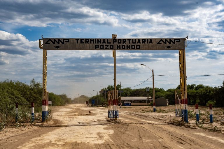
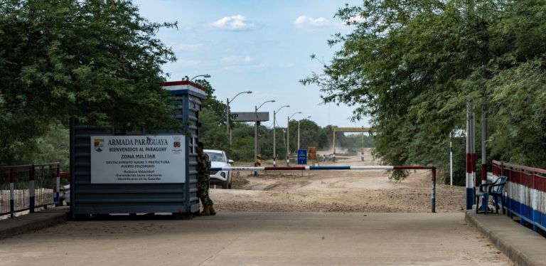
Although our primary focus was on visiting all the Paraguayan tripoints, there were 2 border crossings that we able to combine with our visit to ARBOPY. The first was the Pozo Hondo – Misión La Paz Border Crossing which connects the far western Paraguayan Chaco (Pozo Hondo) with the Salta Province of Argentina (Misión La Paz). Spanning the Pilcomayo River, this crossing serves as a vital strategic node in South America’s evolving Capricorn Bioceanic Corridor.
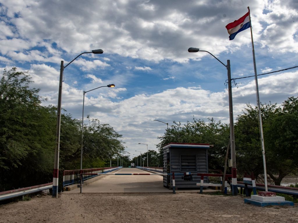
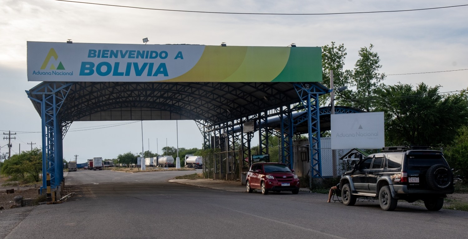
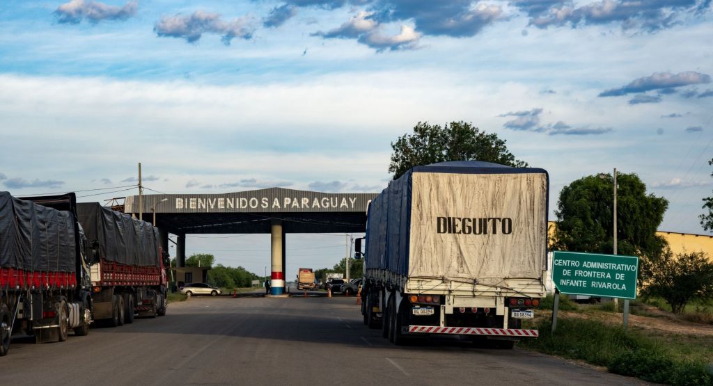
The second was the Infante Rivarola – Cañada Oruro border crossing which is the primary international land gateway between Paraguay and Bolivia. Situated in the remote Gran Chaco region, marking the northern terminus of Paraguay’s National Route PY09 (Transchaco Highway).
Post Expedition Visits
As if all these border visits were not enough I was able to visit 2 further border crossings after leaving Asunción. After the long journey from Bahia Negra firstly on a boat down the Rio Paraguay and then 2 buses, I left Paraguay and entered Argentina. What made this crossing notable was it was by train. The Posadas-Encarnación train is the only international rail link in South America. The train crosses the San Roque González de Santa Cruz Bridge which joins the two countries together and has an average journey time of 10 minutes with a 30-minute frequency.
Click on the images below to access the full report with maps, additional photos and more information.
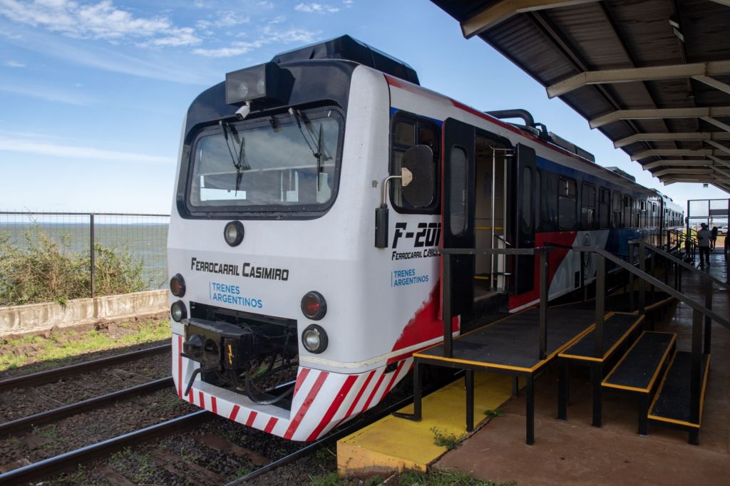
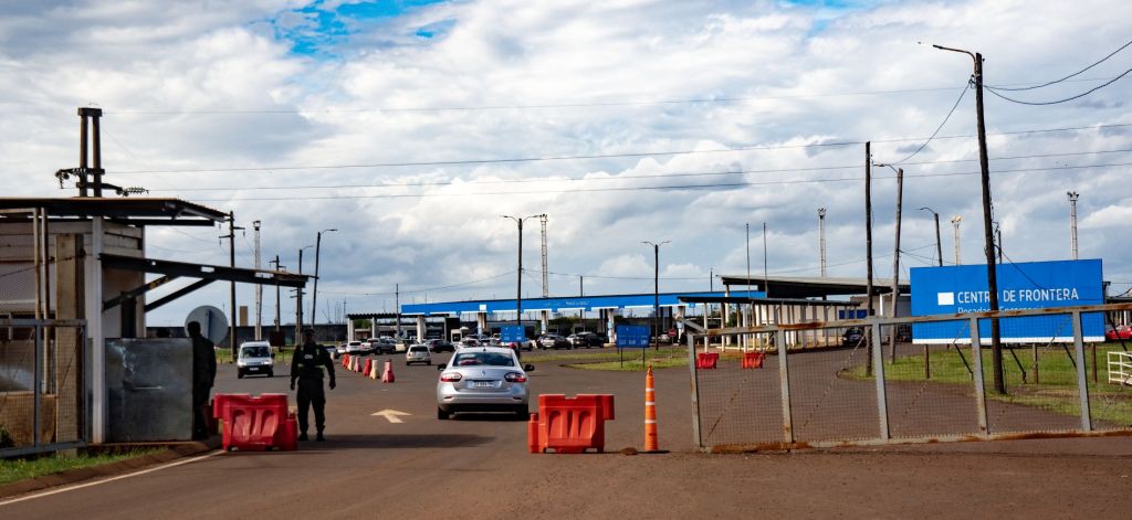
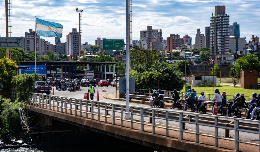
The second border crossing was the Túnel del Cristo Redentor (officially the Paso Internacional Los Libertadores) is a 3,080-meter-long international road tunnel through the awe inspiring Andes Mountains connecting Argentina (Mendoza Province) and Chile (Valparaíso Region) at an elevation of roughly 3,200 meters above sea level.


Date of Visits: 25 October 2025 to 17 November 2025

