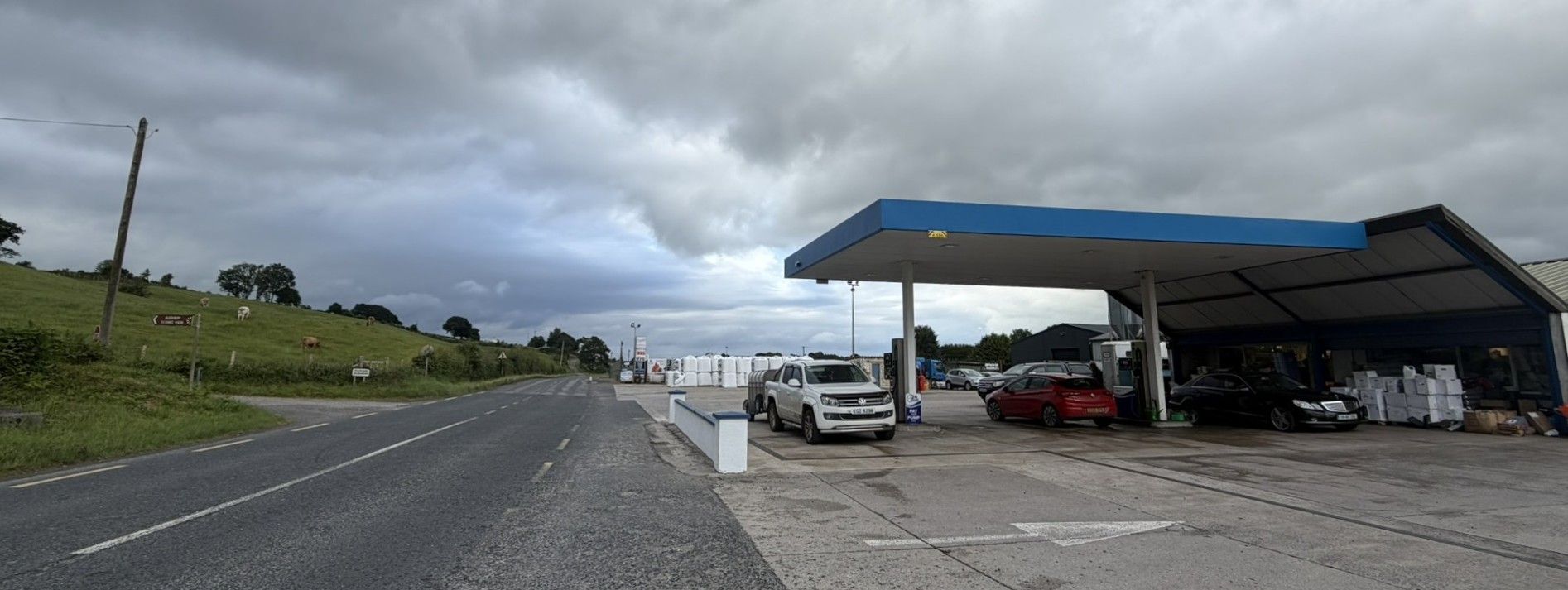

The Ballyconnell to Derrylin border crossing is an open, unmanned road link between County Cavan in the Republic of Ireland and County Fermanagh in Northern Ireland. This border crossing is famous for bordergeeks due to Cassidy’s Petrol Station a famous, family-owned commercial petrol station that straddles the international border.
At the border the road transitions between the Irish R205 to the British B127 road heading north. The border heads west to east and cuts through the petrol station. Under the Common Travel Area (CTA), British and Irish citizens move freely without passport checks. However, non-visa national international travellers must possess an Electronic Travel Authorisation (ETA) when entering Northern Ireland
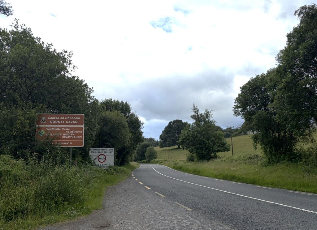
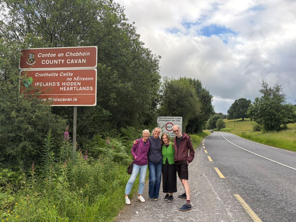
Transactions switch immediately from Euros (€) in Ballyconnell to British Pounds (£) once crossing into Fermanagh. Traffic signs also change from Kilometres to Miles.
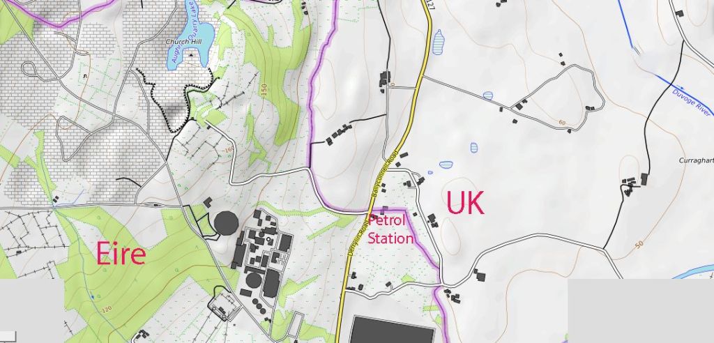
During the Troubles, this area experienced strict security checkpoints, watchtowers, and road restrictions, in sharp contrast to the current situation where it operates as an invisible, open border with free flow of local traffic and no physical customs or military posts.
The Good Friday Agreement of 1998 brought peace to Northern Ireland by removing security checkpoints on the Irish land border and setting up power-sharing government. Brexit later created trade tension, leading to the Windsor Framework which placed regulatory checks in the Irish Sea rather than on the open land border.
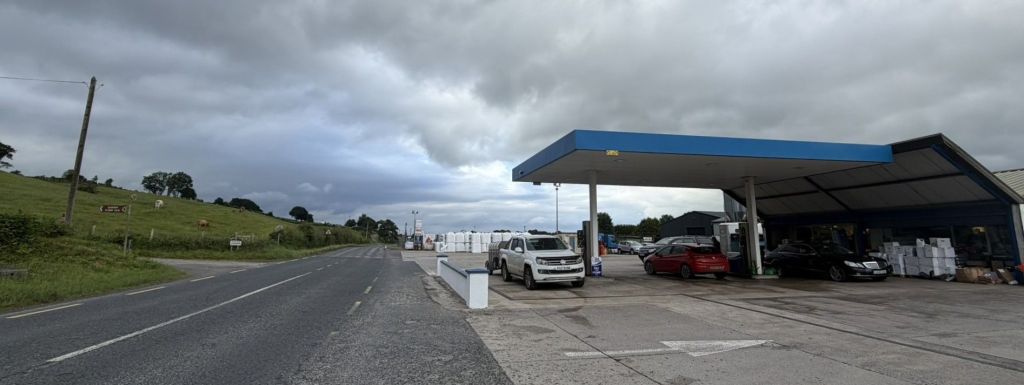
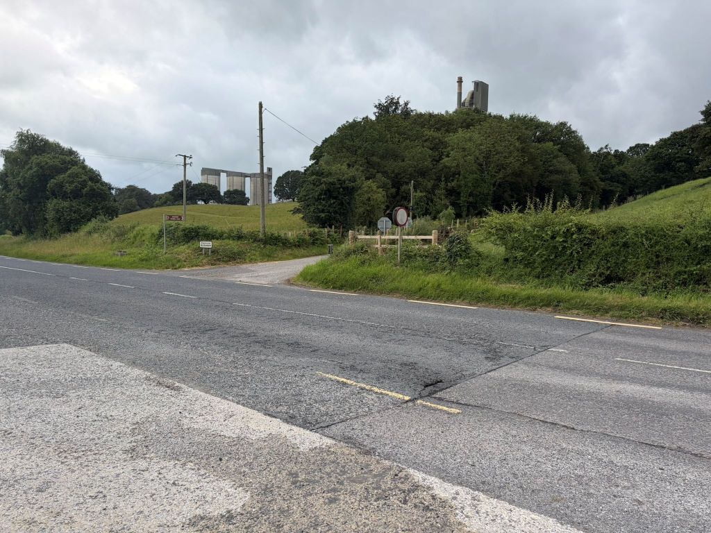
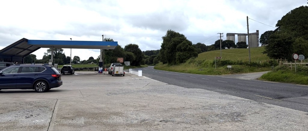
The Border – Looking North
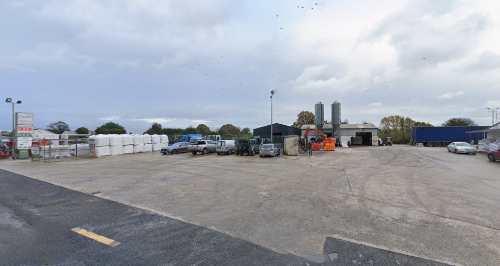
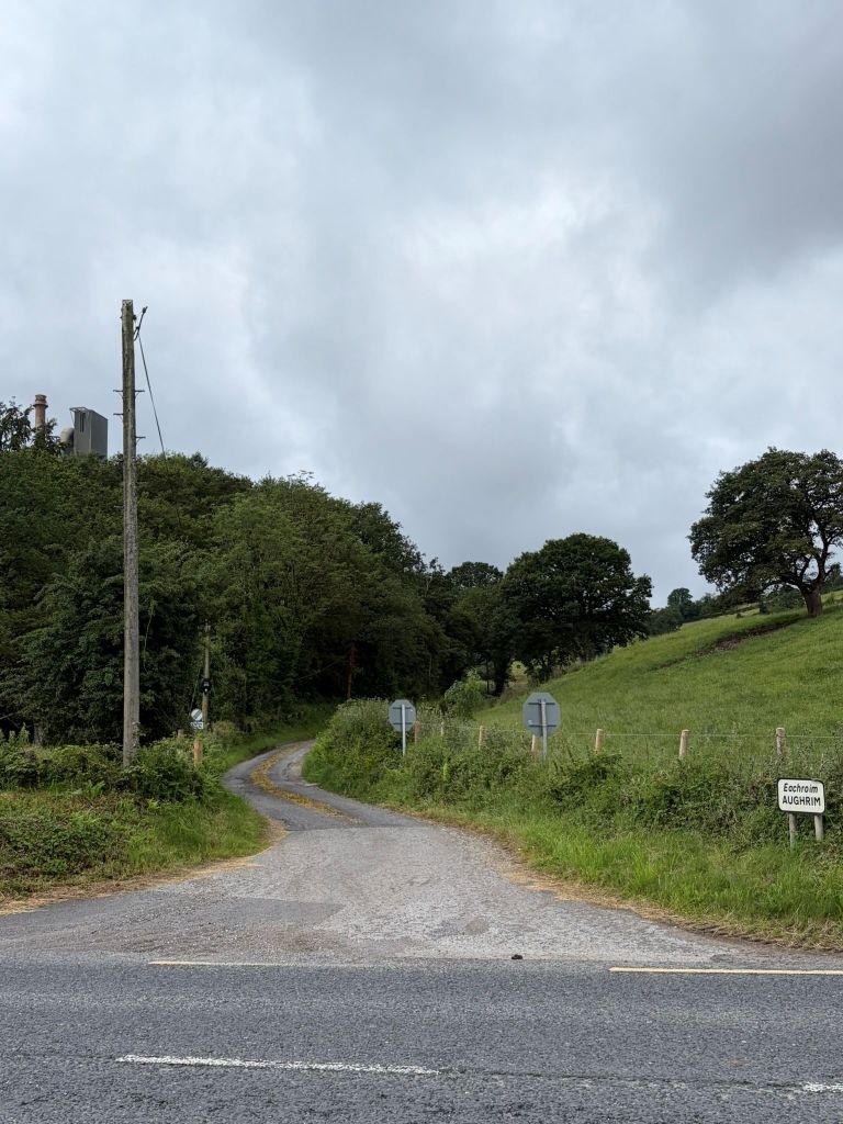
The border cuts across the road from the rural lane on the left across the Ballyconnell/Derrylin Road and then the Petrol Station forecourt. Roughly two-thirds of the facility’s storage warehouse is located in County Cavan (Republic of Ireland), while the remaining third sits in County Fermanagh (Northern Ireland). Cassidys Filling Station features 24-hour fuel pumps, a local convenience shop, and solid fuel supplies (like coal and firewood), drawing heavy cross-border traffic from both jurisdictions
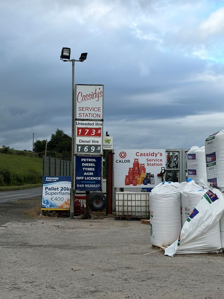
The Border
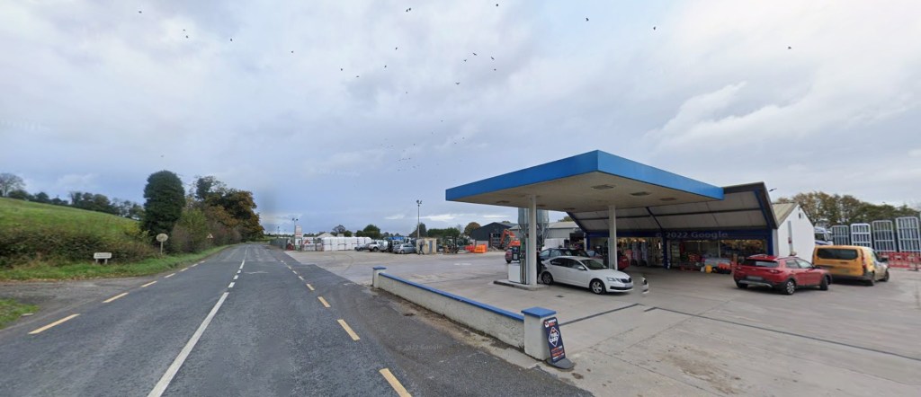
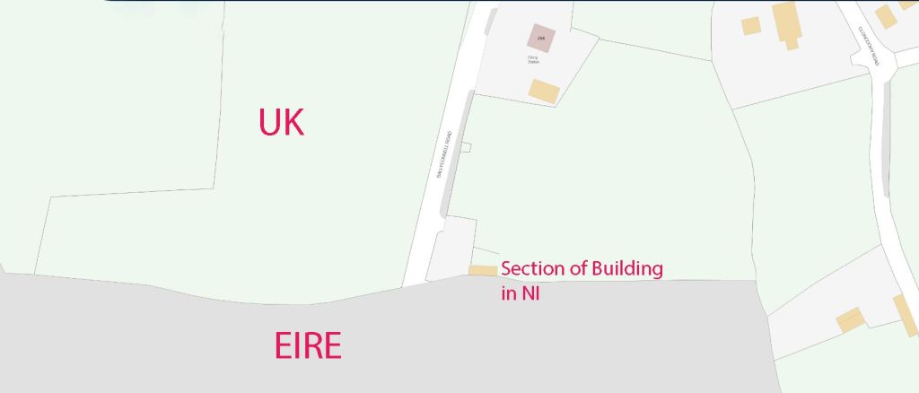
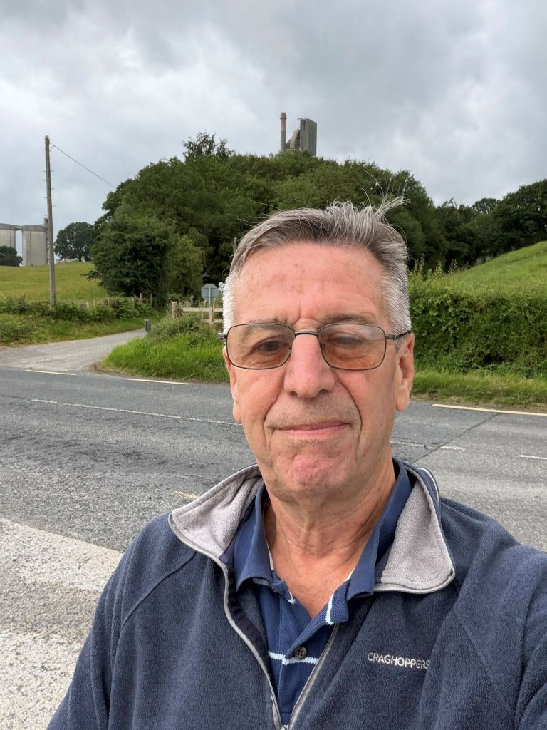
It was difficult to know exactly where the border was. It followed the northern edge of the rural lane and moves across the forecourt and through the grey building in the background as indicated below on the NI map.
The Border – Looking South
Videos
References
- Brexit could make simple commercial life on Border complicated, The Anglo – Celt (2019) Here
Date of Visit: 03 July 2026

