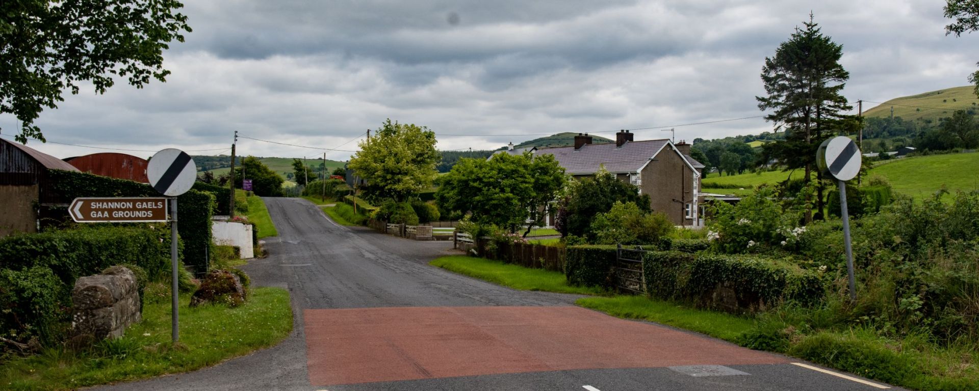

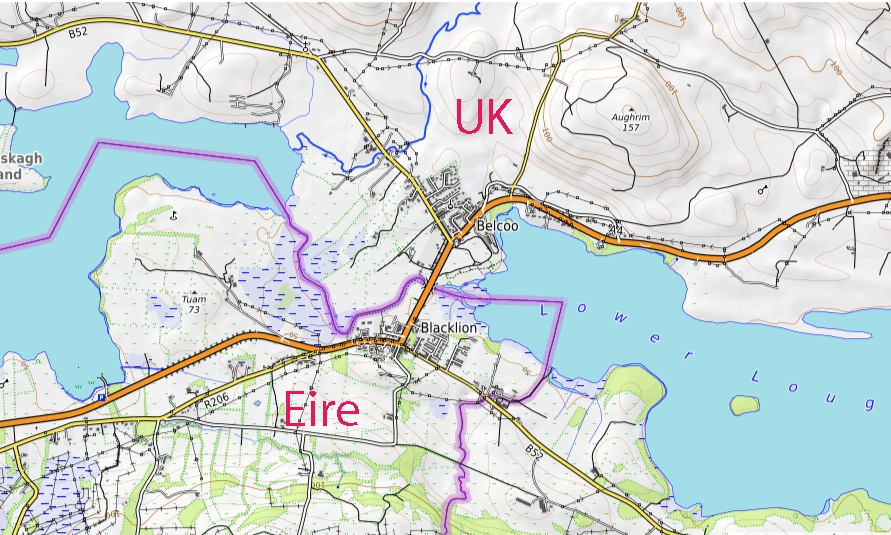
The Blacklion border crossing is an open, un-manned land border point connecting Blacklion in County Cavan, Republic of Ireland, to Belcoo in County Fermanagh, Northern Ireland. The border at this point is marked by a river connecting Upper and Lower Lough MacNean.
At the border the road transitions between the Irish N16 to the British A4 road heading toward Enniskillen. A small bridge spans the river. Under the Common Travel Area (CTA), British and Irish citizens move freely without passport checks. However, non-visa national international travellers must possess an Electronic Travel Authorisation (ETA) when entering Northern Ireland
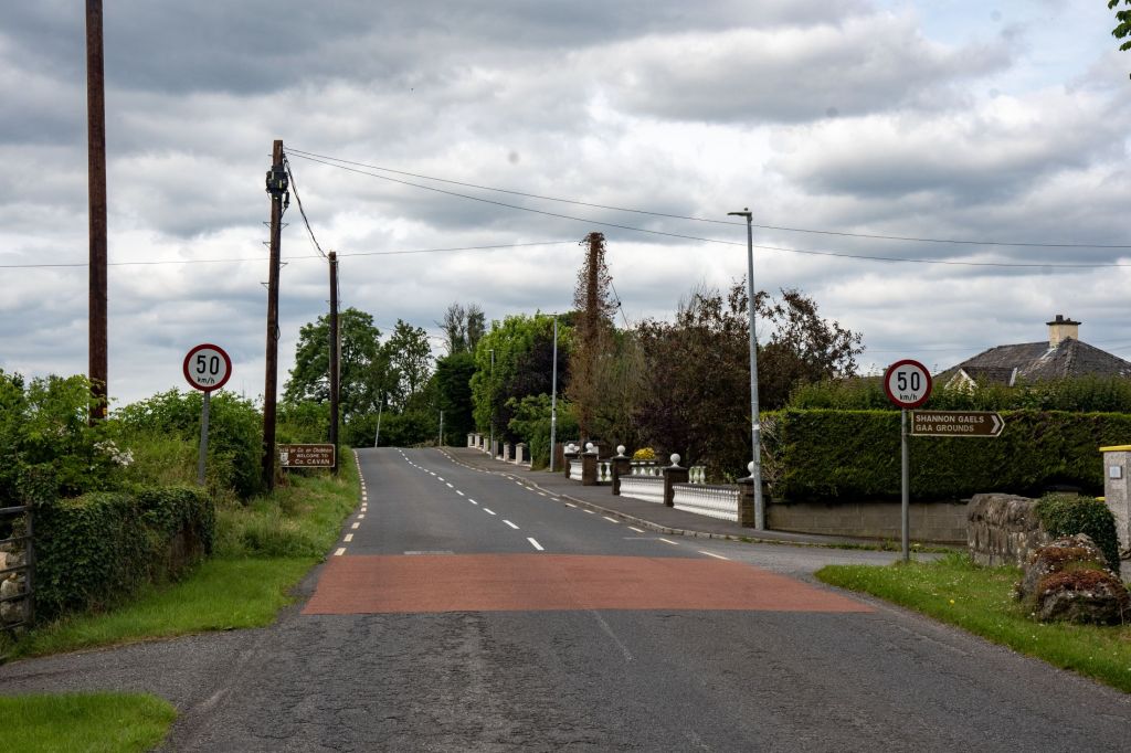
Transactions switch immediately from Euros (€) in Blacklion to British Pounds (£) once crossing into Fermanagh. Traffic signs also change from Kilometres to Miles.
Historically, the border crossing featured a heavy joint Irish Army and Garda Síochána security checkpoint on the southern side due to high security concerns, in sharp contrast to the current situation where it operates as an invisible, open border with free flow of local traffic and no physical customs or military posts. The cross-border bridge linking the two communities was fully reconstructed between 2009 and 2011, the disused cross border railway bridge was destroyed by the British Army in 1970.
The Good Friday Agreement of 1998 brought peace to Northern Ireland by removing security checkpoints on the Irish land border and setting up power-sharing government. Brexit later created trade tension, leading to the Windsor Framework which placed regulatory checks in the Irish Sea rather than on the open land border.
The Border – Looking North
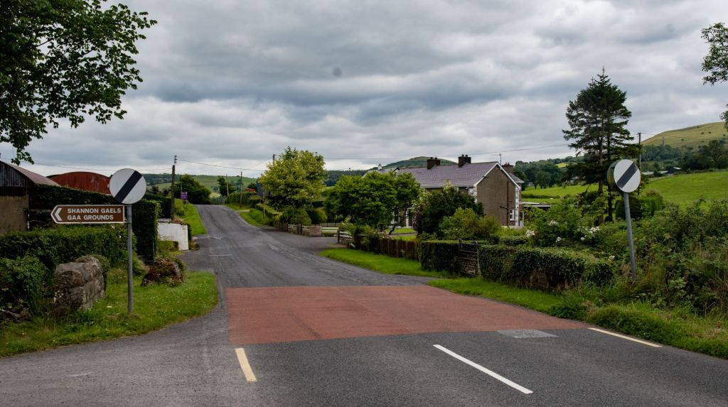

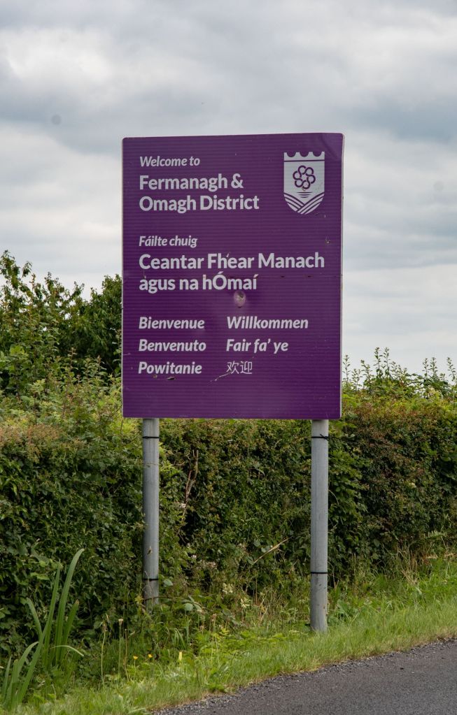
The Border
As the border between North and South is not marked and an international border, this small bridge and river could easily be overlooked. National signs (Welcome to Northern Ireland or Eire EU signs) or prominent markings are avoided to prevent political tension or becoming targets for vandalism.

The Border – Looking South


Date of Visit: 10 July 2026

