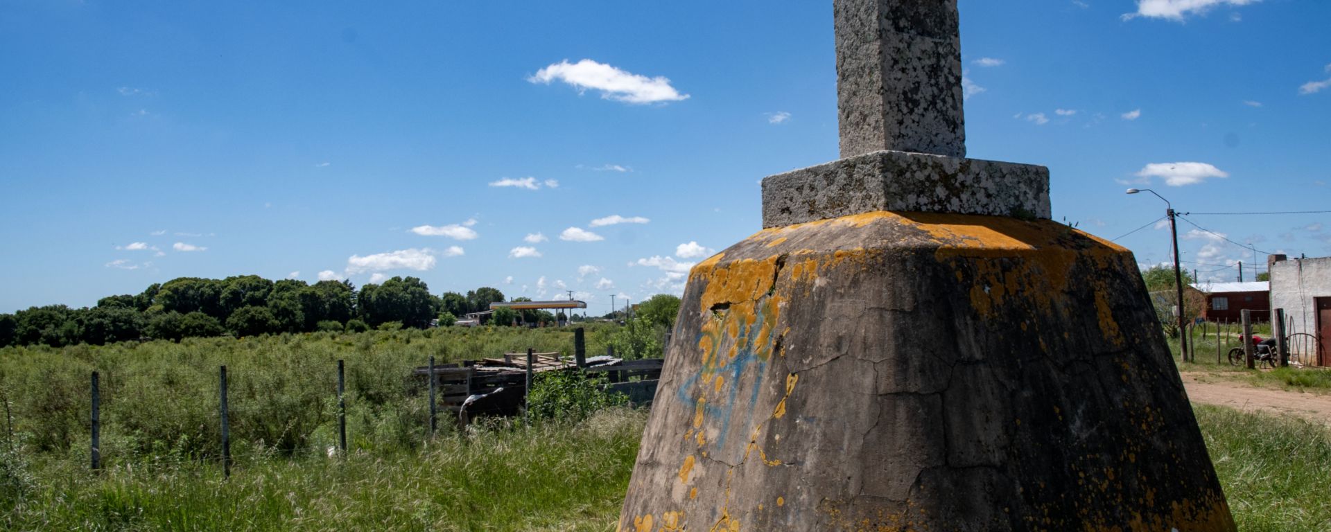
The Rincón de Artigas was the second contested area that we visited as part of the IBRG SATEX -25 expedition. It is a territory of 237 km² located in northern Uruguay and southern Brazil. The border between the 2 countries was established in 1851, and the process of demarcation of border followed. In this area the easternmost river, the Invernada stream was agreed by the joint border surveyors to be the border between the 2 countries.
In 1933 the Uruguayan surveyor studying the position of the boundary markers, concluded that marker No. 49-I had been erroneously placed at the headwaters of a stream that was not the Invernada stream. This left 25,000 hectares within Brazilian territory, which he believed should belong to the Department of Rivera in Uruguay. He identified the Invernada stream mentioned in the Treaty as the Moirones or Moirões stream, which originates at intermediate marker No. 941. This was agreed by his Brazilian counterpart.
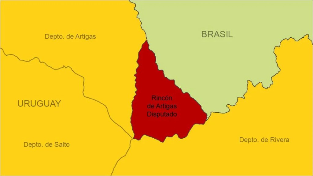
This led to the Uruguayan government requesting a scientific determination of the watercourse that, in Article 3 of the Treaty (…), was named Arroyo de la Invernada . The note expressed Uruguay’s reservation of the area between landmarks No. 941 and 49-I until both governments, by mutual agreement, determined the exact location of Arroyo de la Invernada.
The Brazilian government responded to the note on October 26, stating that they were conducting characterization work, not demarcation, of the boundary, and that Brazil would not accept any attempt to rectify the situation. In 1937, 1938, and 1941, Uruguay again requested a scientific determination of the matter from Brazil. In 1974, the Uruguayan government decreed that official maps should designate the Rincón de Artigas area, between intermediate marker No. 941 and marker No. 49, as the “disputed boundary.”
The situation remained unchanged until it was verified that a village, called “Thomas Albornoz” or “Manuel Filho,” had been established in the area claimed by Uruguay, with the authorization of the Brazilian authorities. In 1985, Uruguay protested the construction of the village. On August 17, 1988, the Uruguayan government again sent a note to the Brazilian government, which replied on December 4, 1989, maintaining its position of not making any changes regarding the boundary.
A further point of contention occurred with the construction of the Coxilha Negra Wind Farm within the disputed area, Brazil did not consult Uruguay before starting construction on the wind farm, which began operations in 2024/2025. In June 2025, Uruguay sent a diplomatic note to Brazil protesting the construction of the wind farm and requesting a resumption of talks through a bilateral joint commission. The dispute highlights a broader issue in Brazil, where the rapid expansion of wind energy—supported by easy financing and licensing—is creating conflict with both local communities and, in this case, neighbouring countries.
Our Visit
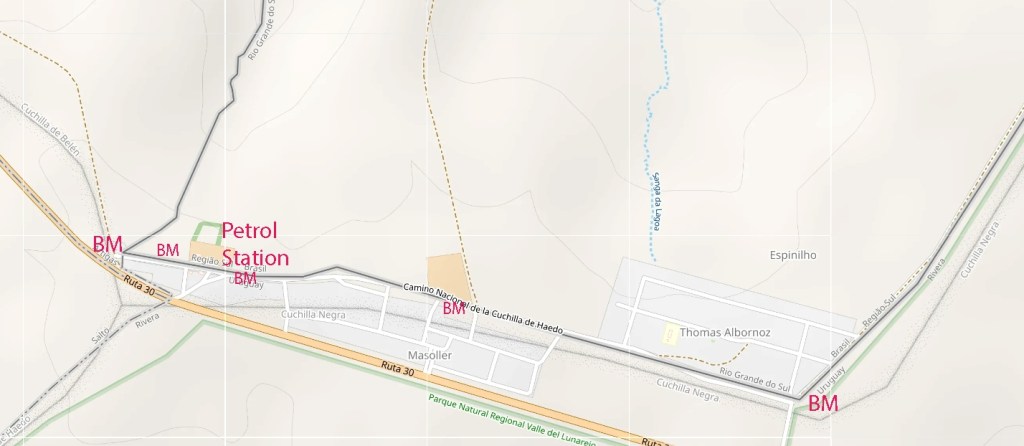
We visited this point as part of the IBRG SATEX-25 expedition. We focused on a small 2 km section of the border by Masoller, we wanted to explore the border markers and the cross border relations that occur across the contested border.
Following the border markers
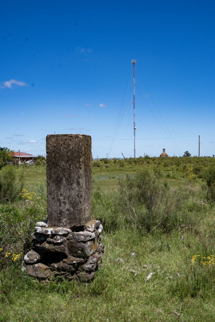
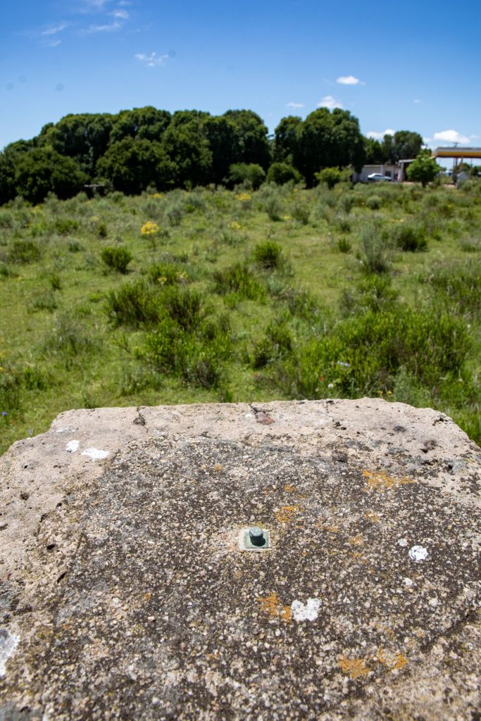
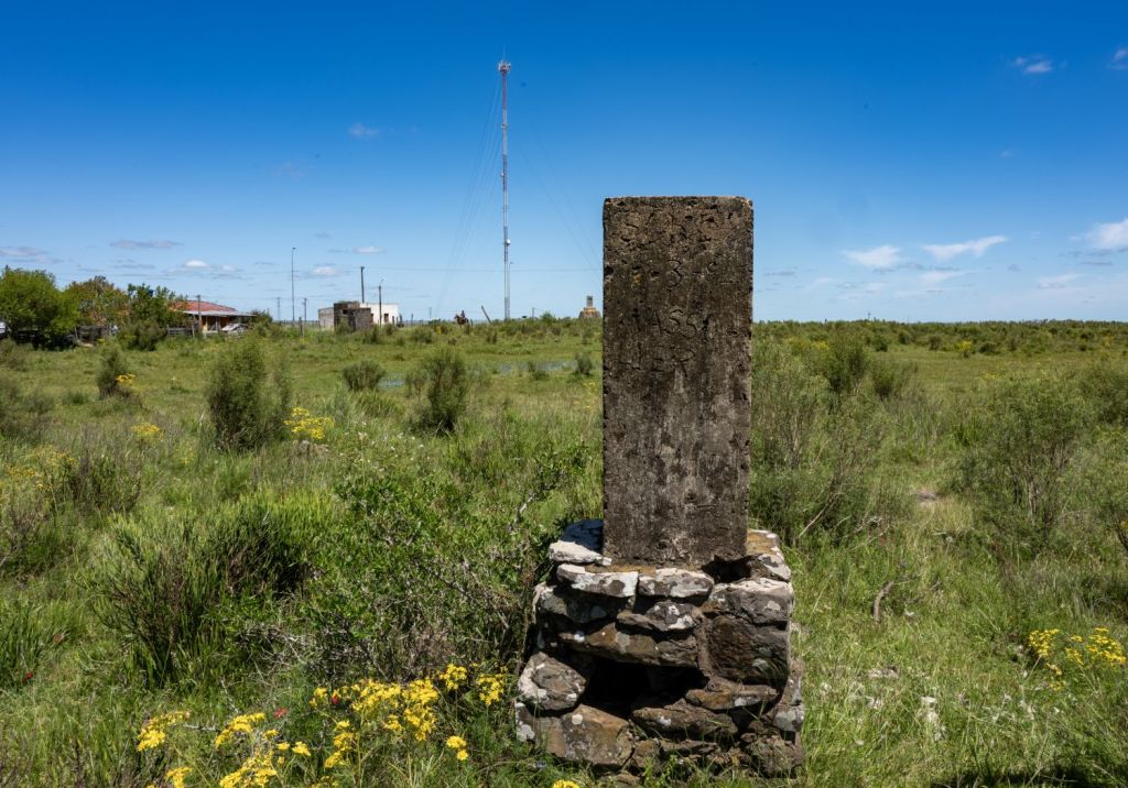
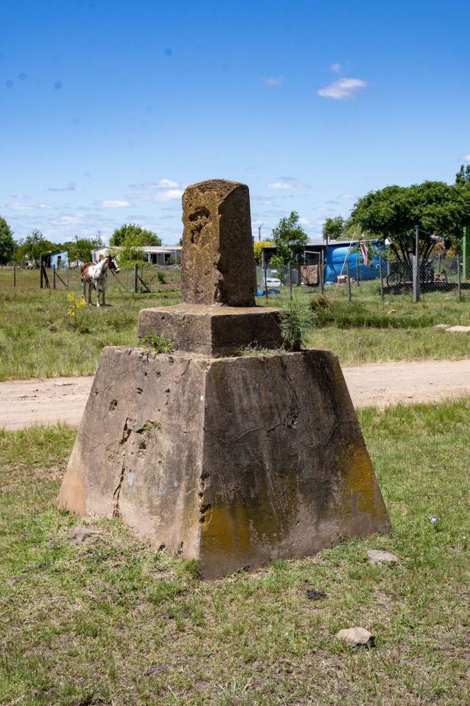
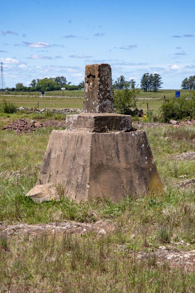
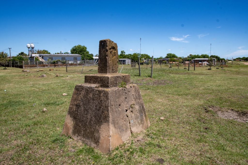
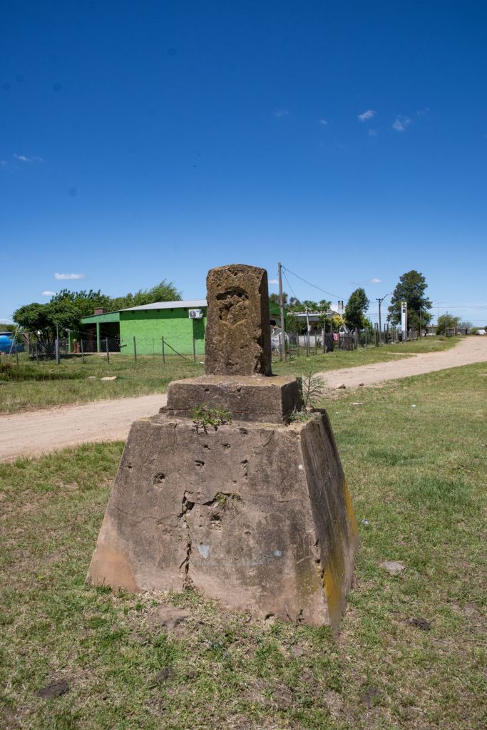
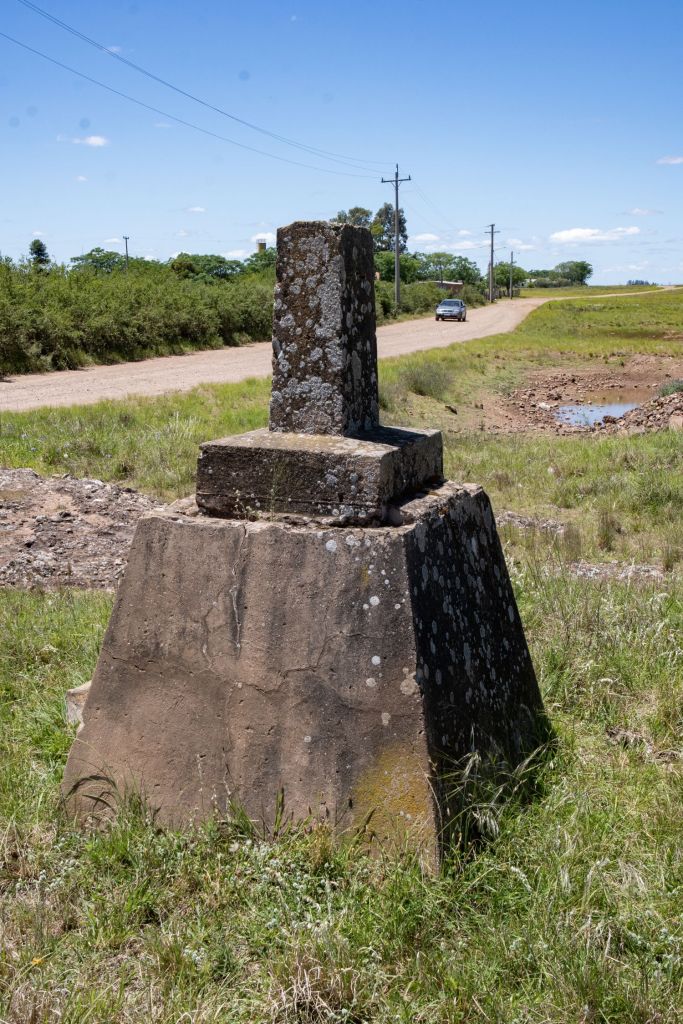
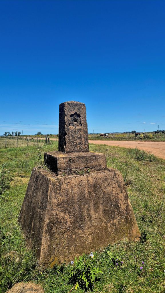
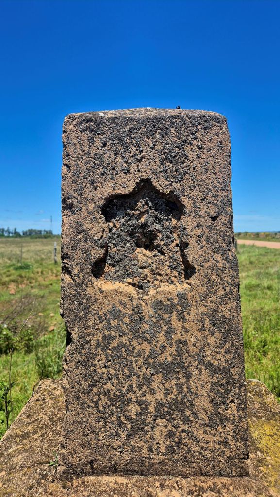
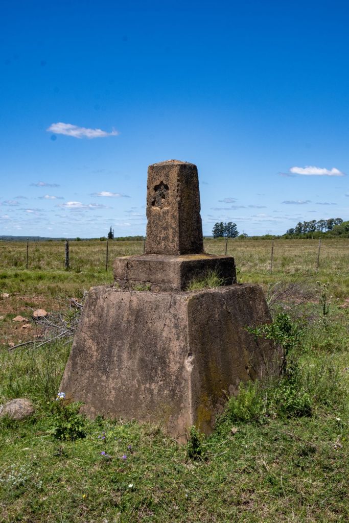
The border at this point was clearly demarcated with large and intermediate smaller markers. The first marker is the 49-1 whose position and the subsequent ones in this stretch are contested by Uruguay.
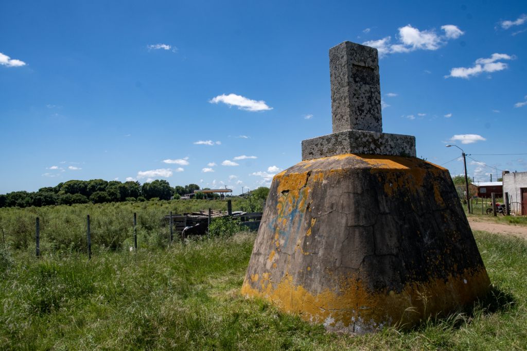
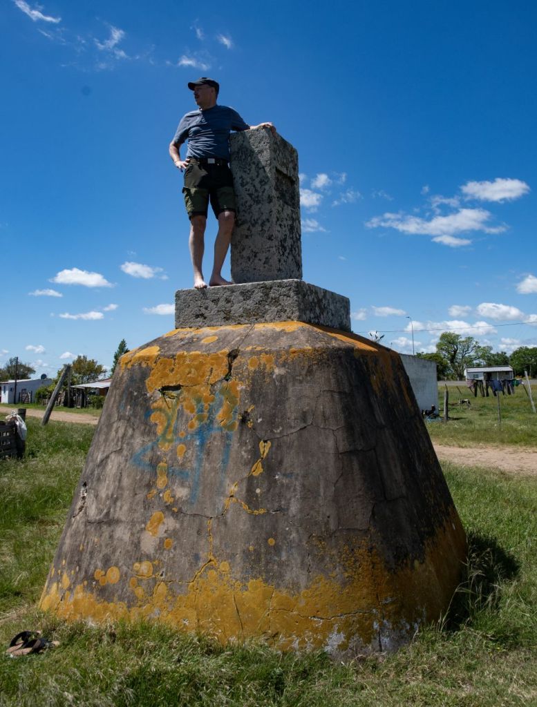
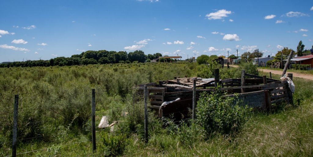
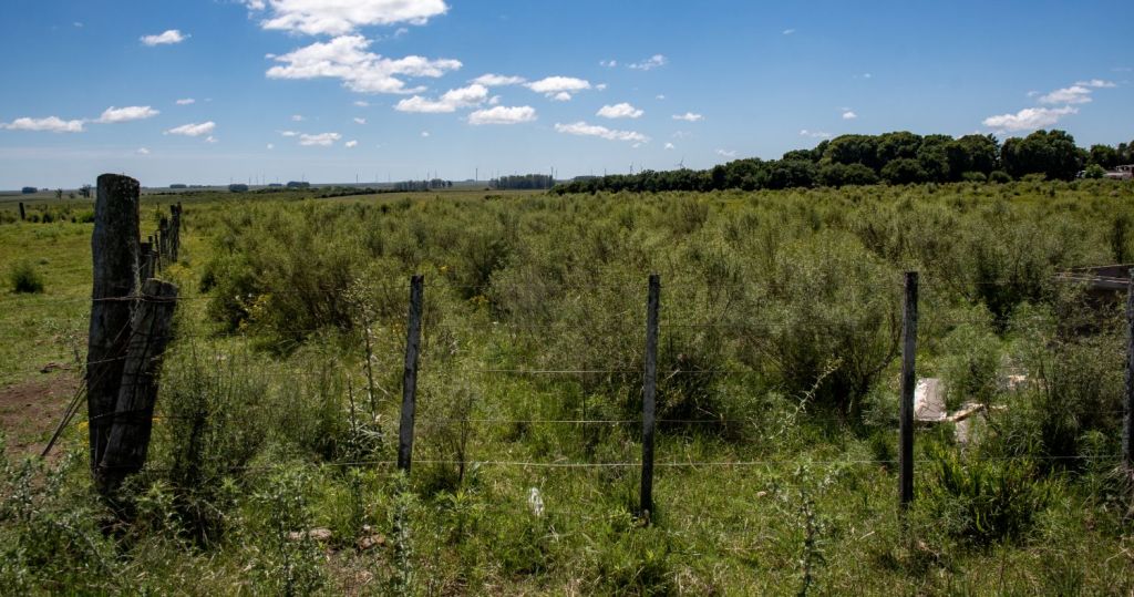
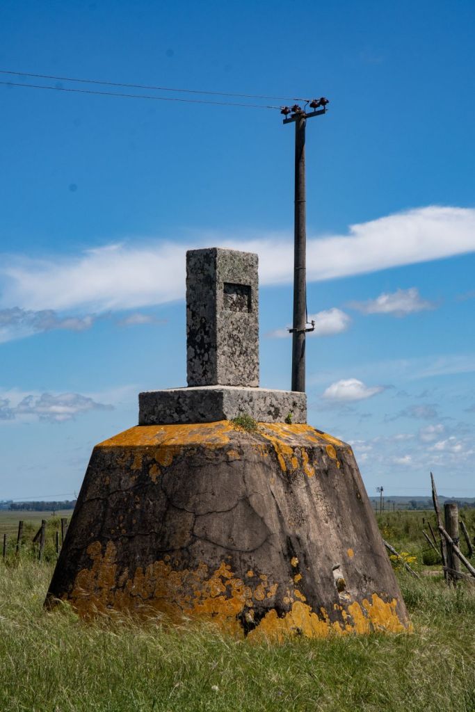
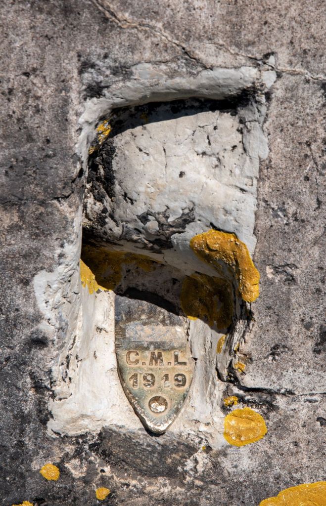
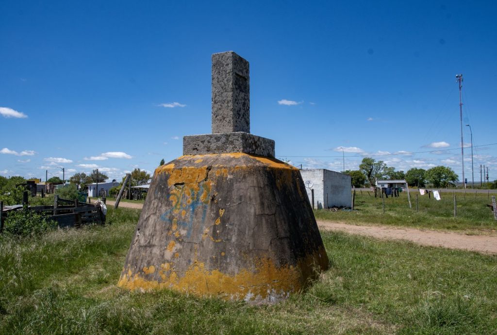
Walking towards the petrol station there was a small border marker within a field. It is always interesting when the landscape does not match the political realities and raises more questions. Who owns the field, why is it divided by the border? What practicalities exist day to day?
Masoller Village
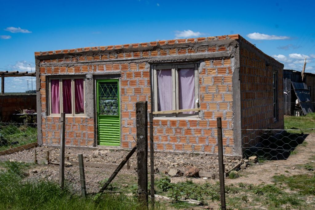
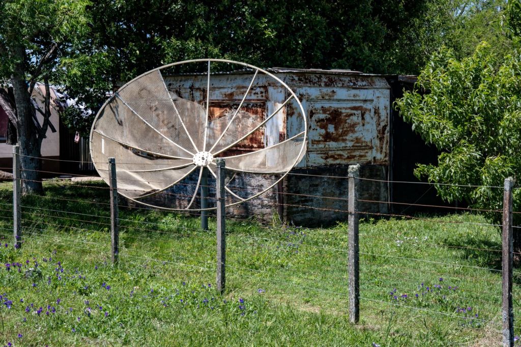
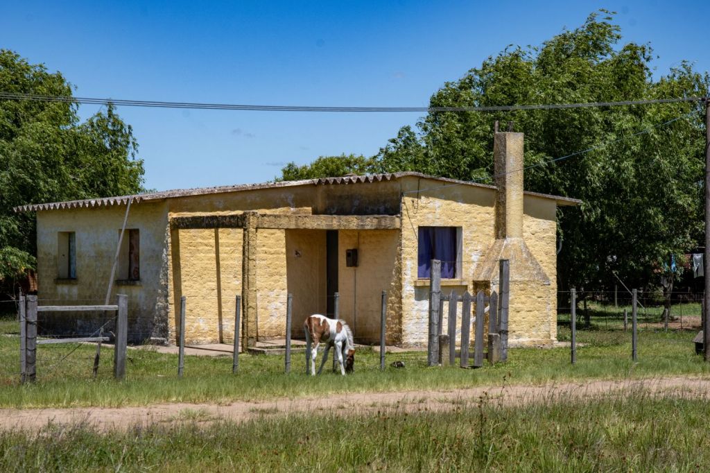
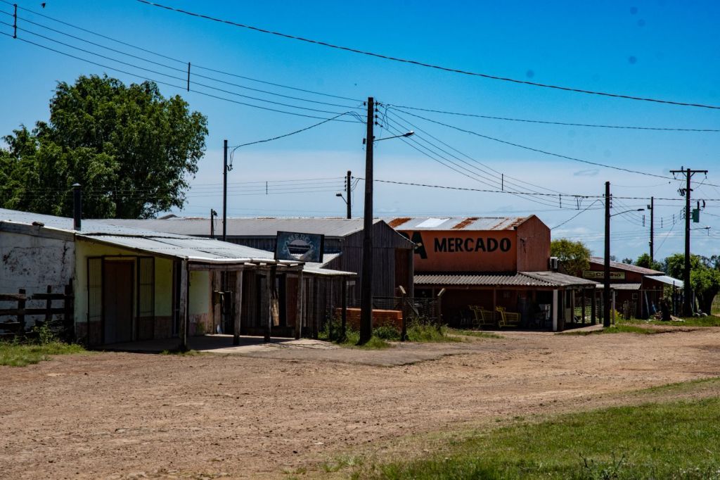
Massoler is the small village that stretches along the southern side of the small dirt road which joins at both ends to Ruta 30. . It is most famous for the historic Battle of Masoller fought in 1904. As a remote rural settlement, public facilities are basic, featuring a local police detachment, a primary school, basic general stores and a local history museum. It is however much more developed than the adjacent Brazilian village of Vila Thomaz Albornoz.

The Petrol Station
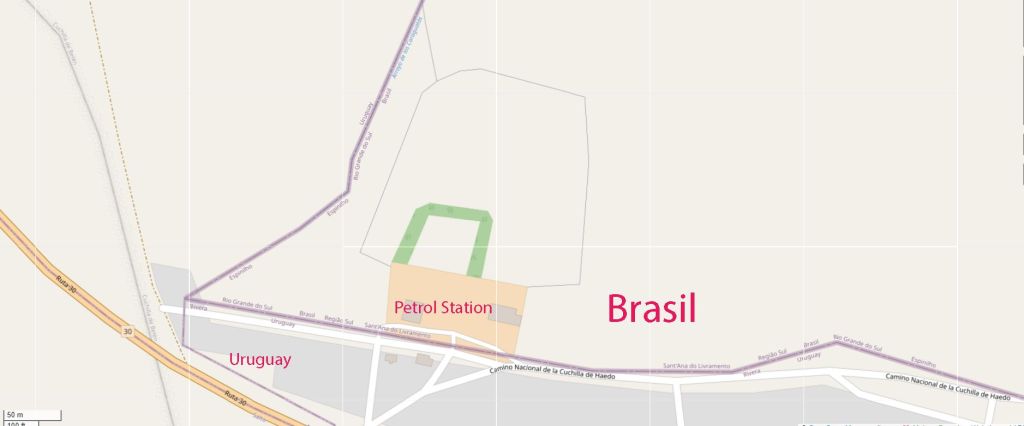
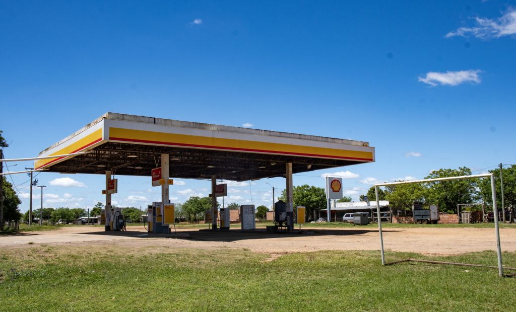
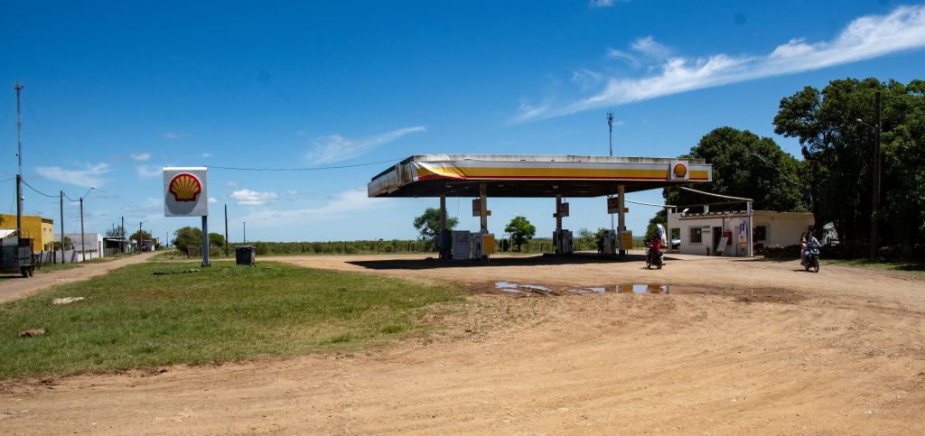
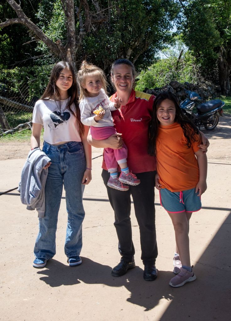
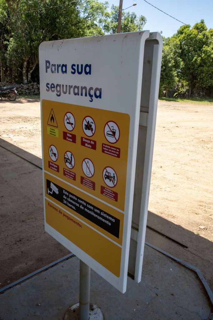
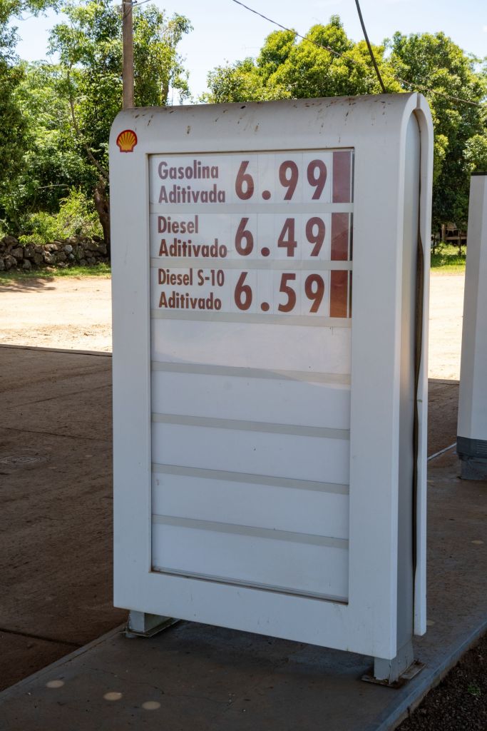
The most noticeable piece of infrastructure is the petrol station which is used by both villages. It is however located in Brasil and all the official signs are in Portuguese. Both countries currencies are used and the family who operate the business are Uruguayan.

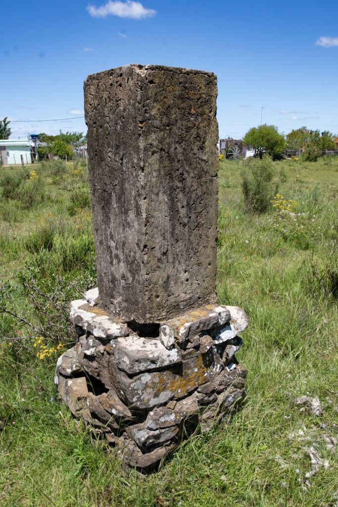
Walking further along the border we found 3 further border markers.
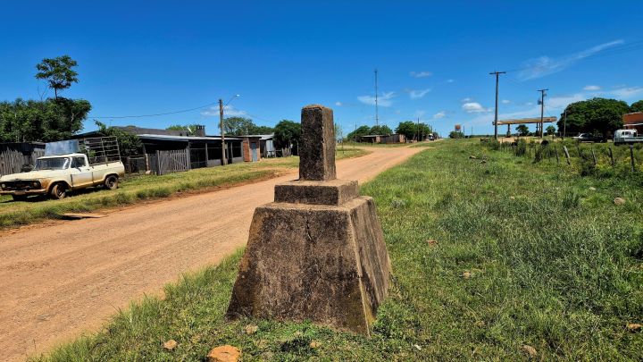
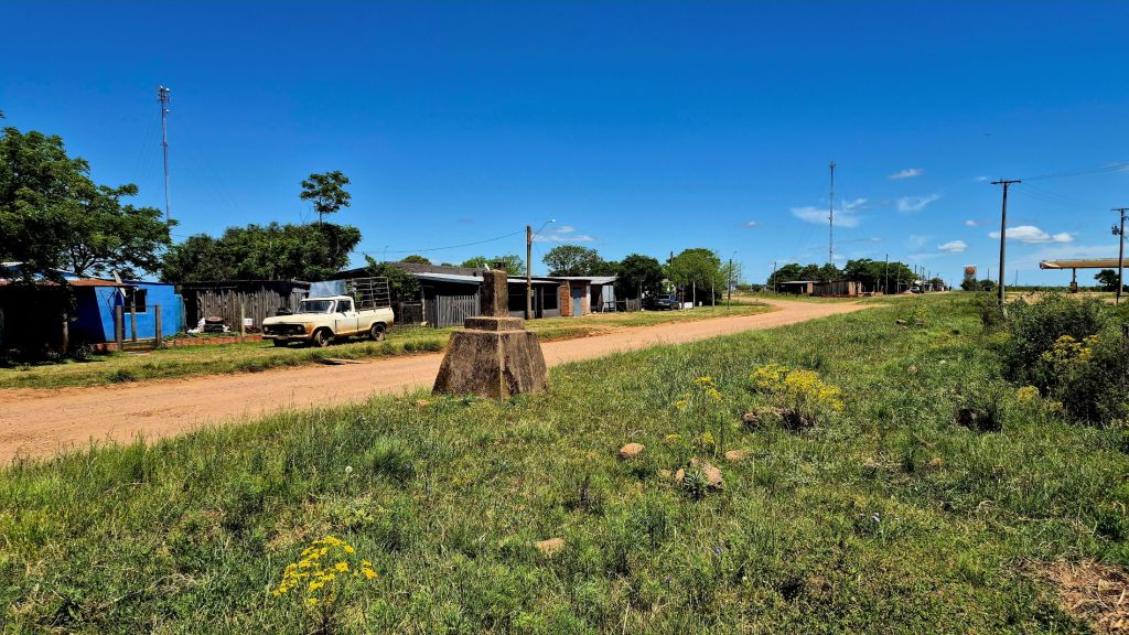
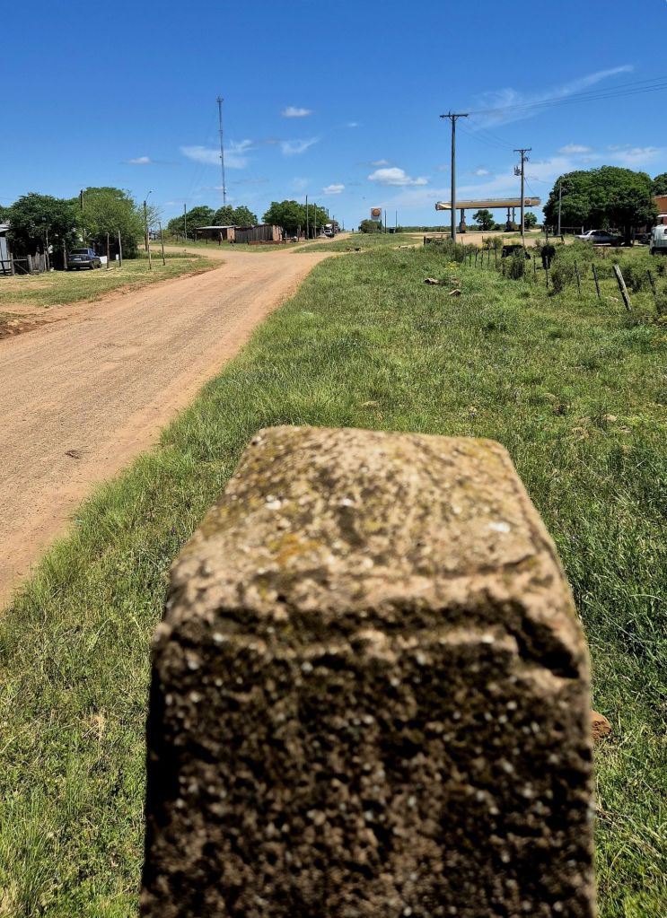
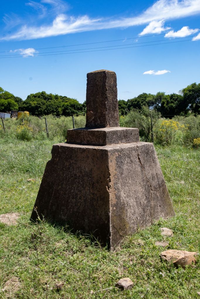
The next 2 border markers were located 200m apart on either side of the dirt road. They were the only indication we were walking along an international border.
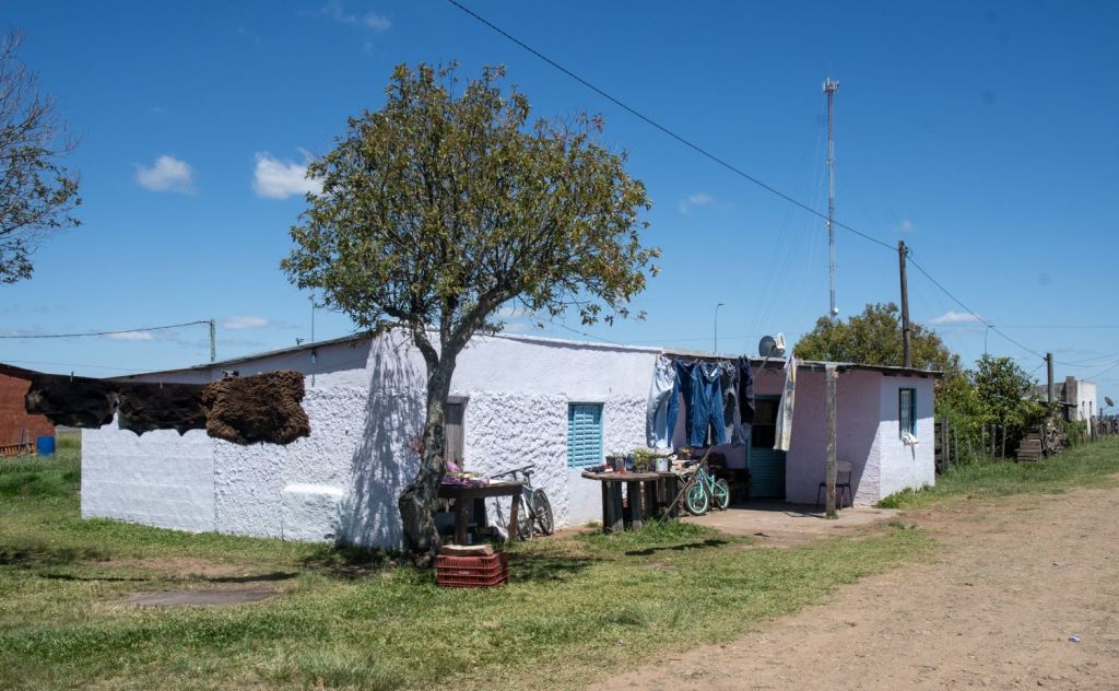
Vila Thomaz Albornoz
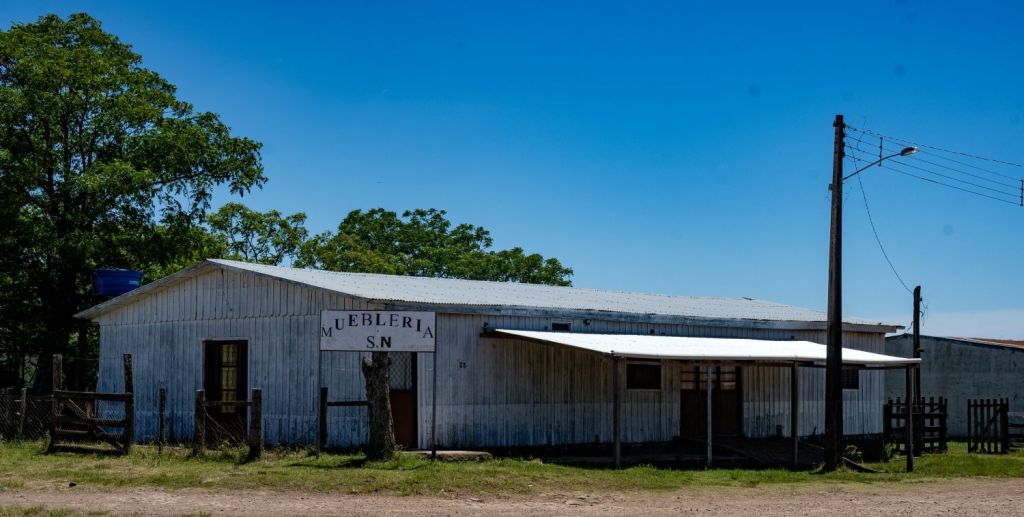
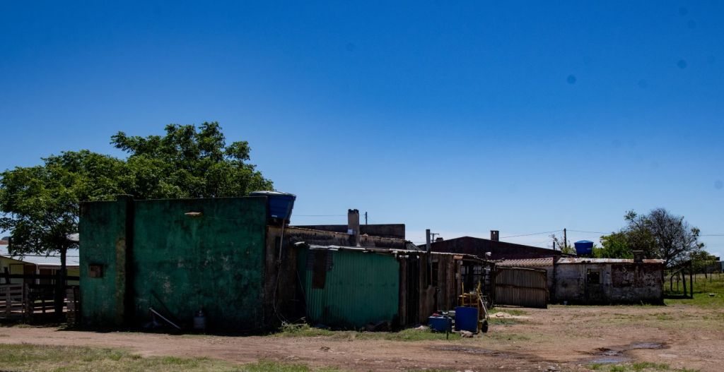
Formally instituted by Brazilian authorities in March 1985 on land donated by local resident Thomaz Vares Albornoz to reinforce sovereign presence. Local residents are unhappy at the level of investment by central government with many families using Uruguayan medical and educational facilities across the border. We did not have time to explore this settlement and technically we were unable to use or hire car to enter Brasil, even though no one would know.
The final POI on this section of the border was the last border marker we observed.
Videos

Date of Visit: 1 November 2025

